Get Lost Mountaineering
You are here: Scotland » 17 Islands » Skye
Sgurr na Coinnich & Beinn na Caillich from Bealach Udal
Sgurr na Coinnich & Beinn na Caillich from Bealach Udal
Start/Finish
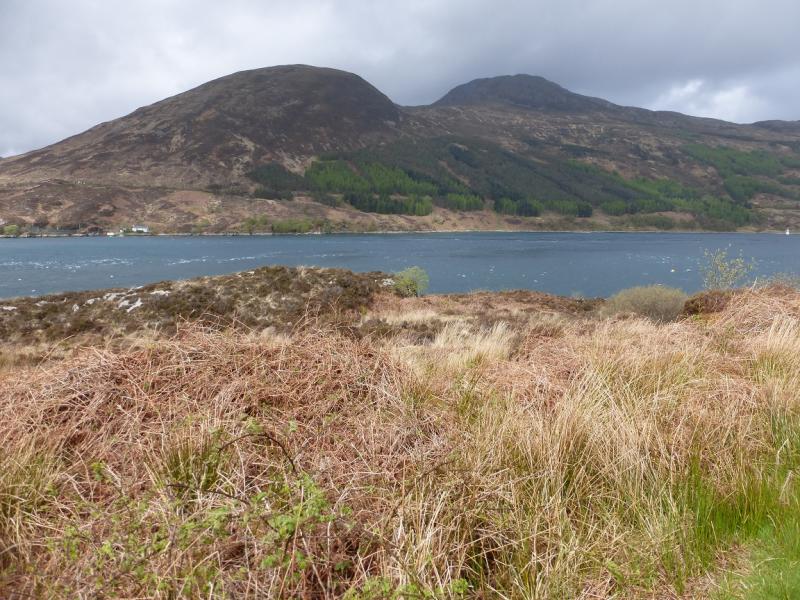
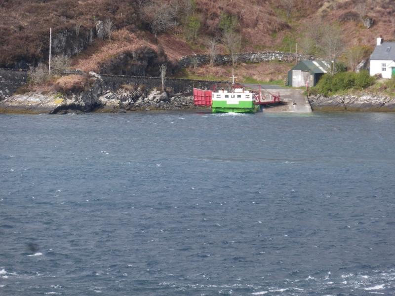
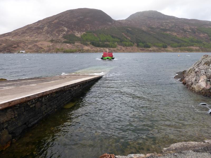
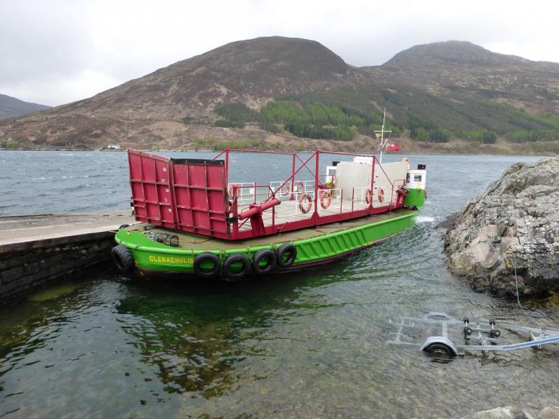
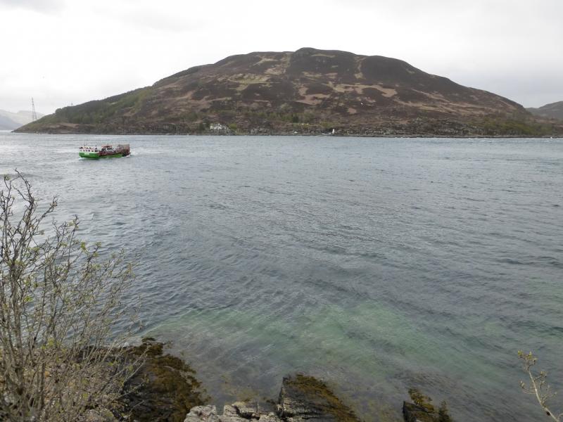
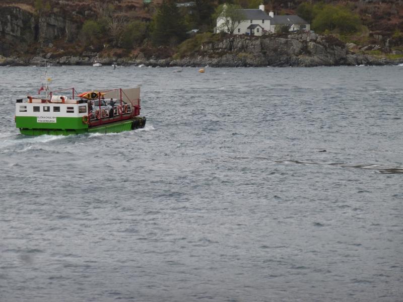
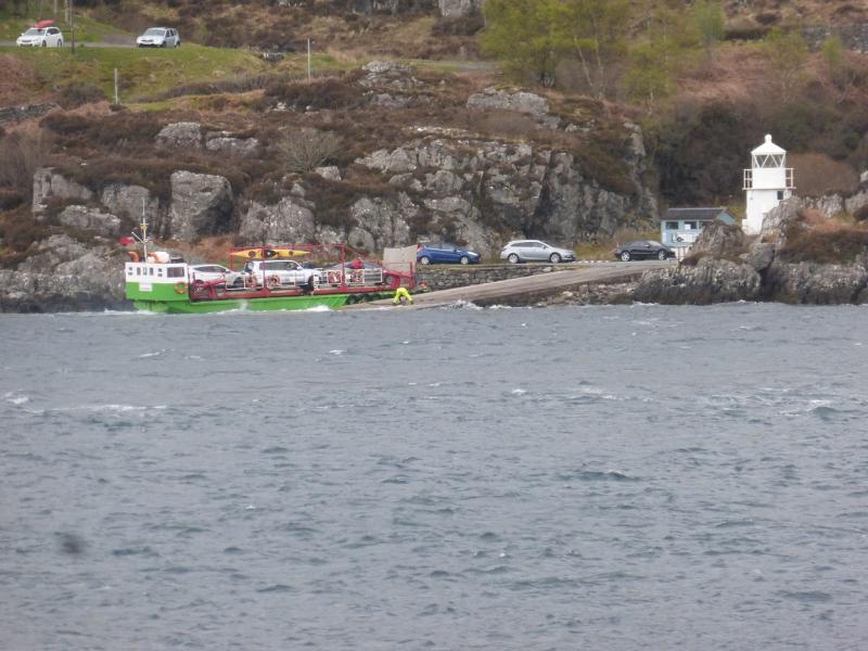
Bealach Udal which is the pass on the minor road between the Kylerhea ferry and the A850 Kyleakin to Portree road which it meets about 3 miles east of Broadford. There are deep parking spaces either side of the pass. Please do not use the passing places or block the access gate to the aerial.
Distance/Time
5 km. About 5 hours.
Peaks
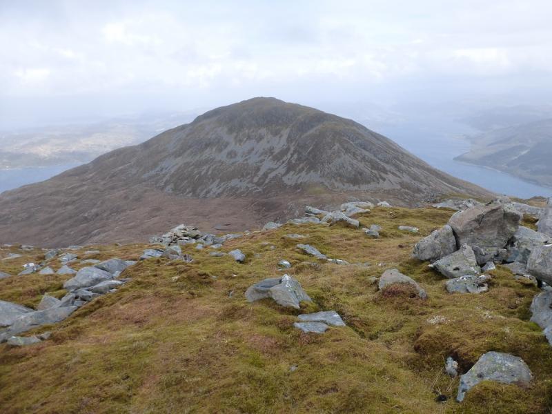
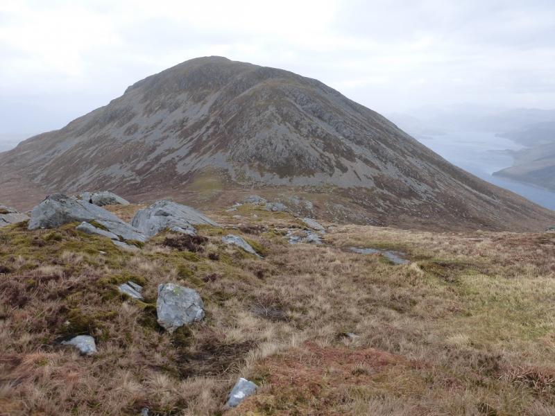
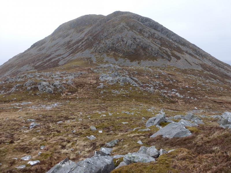
Sgurr na Coinnich, 739 m, NG 762 222.
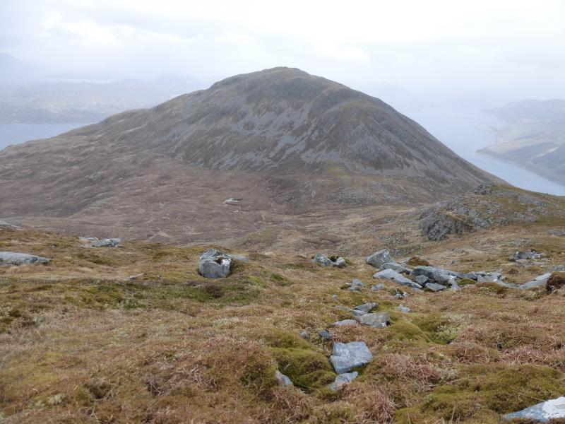
Beinn na Caillich, 732 m, NG 770 229. OS sheet 33.
Introduction
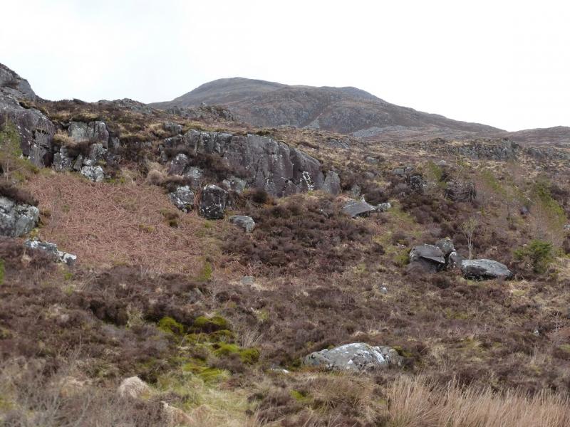
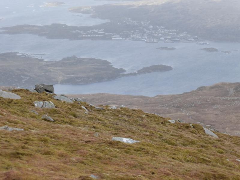
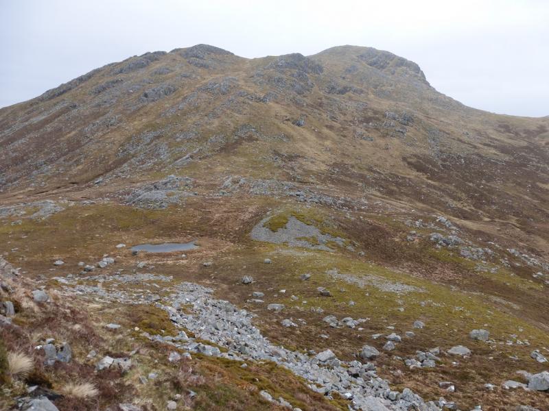
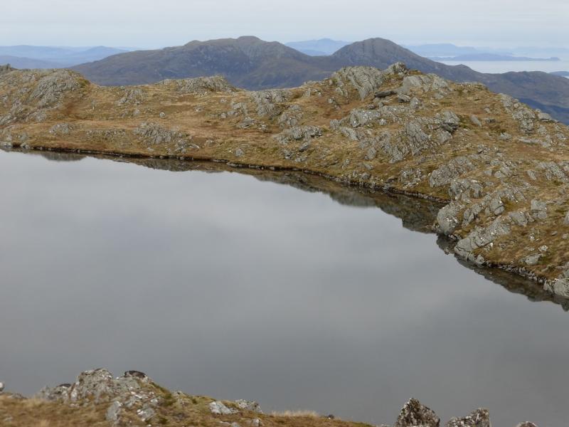
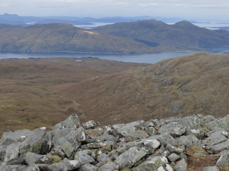
These hills are tougher than they look but can offer a good short day when higher hills, especially the Black Cuillin are in cloud. On a clear day, views will include the Cuillin and peaks on the mainland especially those around Arnisdale such as Beinn Sgritheall. On a wet day, navigation can be confusing in mist, especially on Sgurr na Coinnich where there seems to be no path, and the ground can sometinmes seem like a gigantic saturated sponge! Be wary of climbing these hills when a storm is coming in off the Atlantic; despite their modest height they are very exposed.
Route
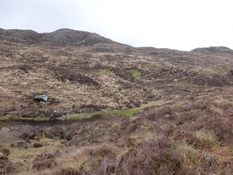
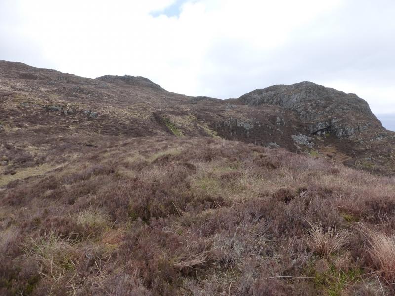
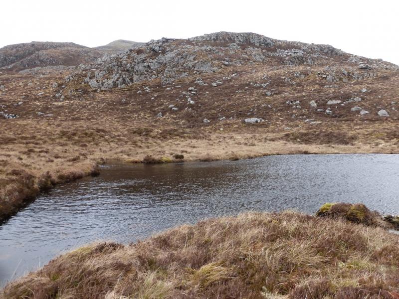
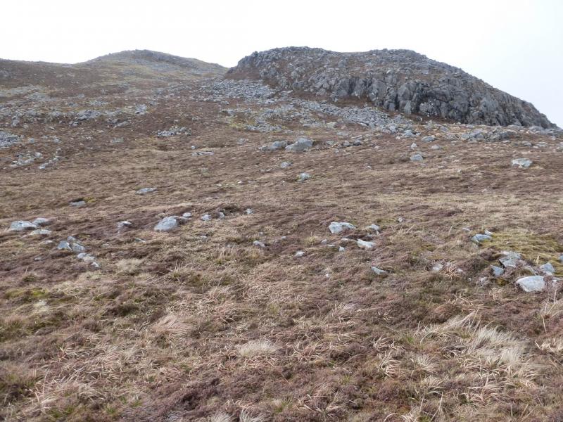
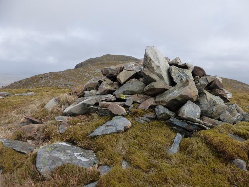
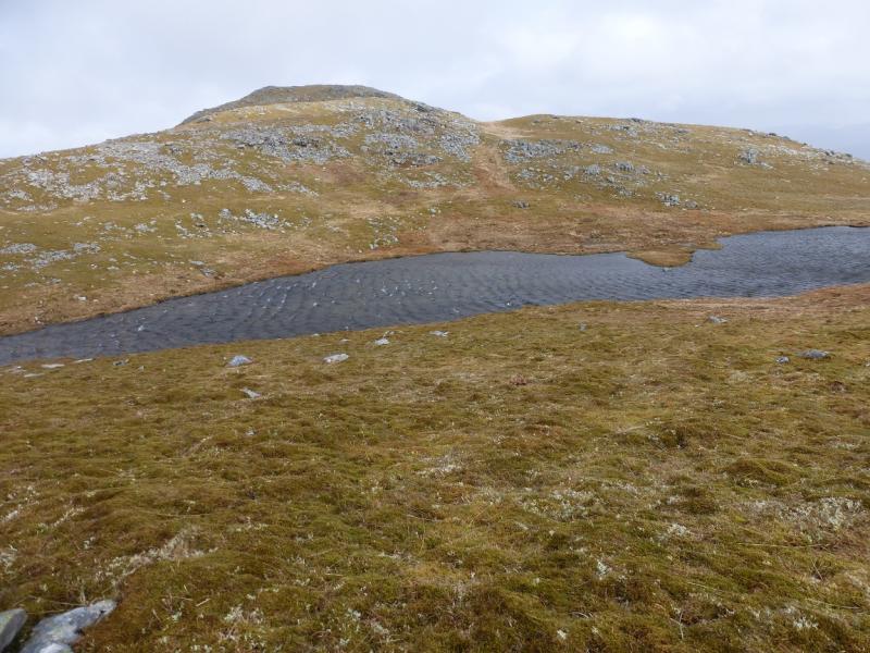
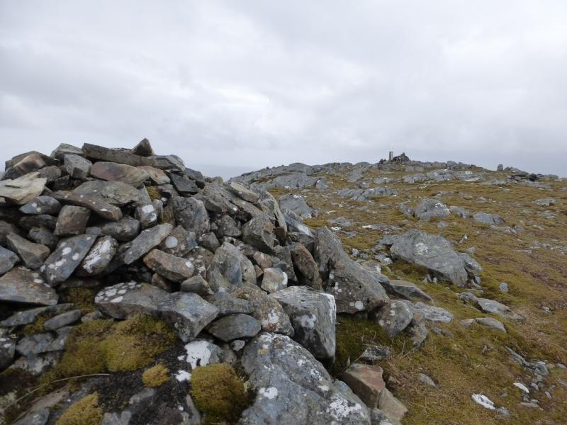
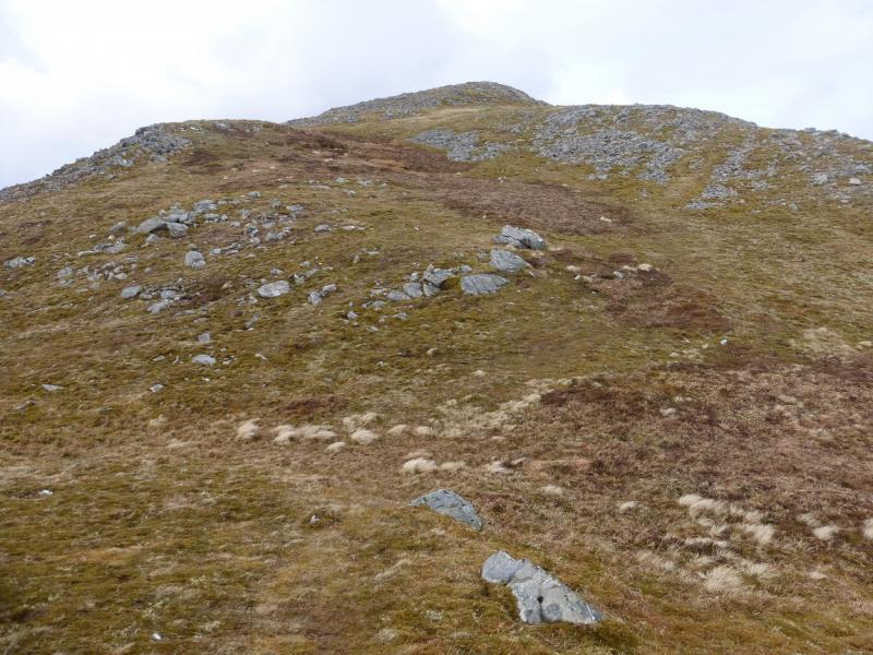
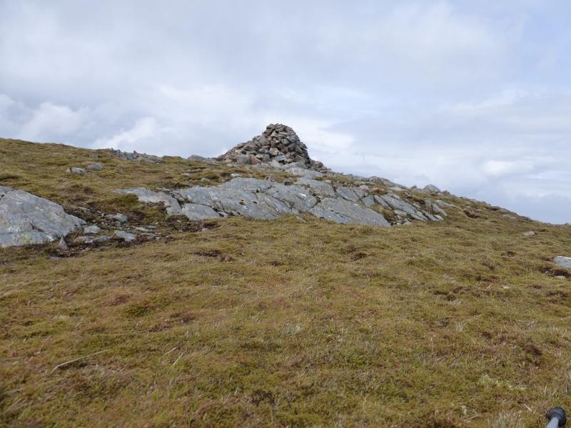
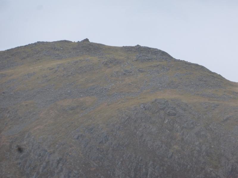
(1) Ascend roughly NE from the bealach to gain the S ridge of Sgurr na Coinnich which is not that well defined but follow it up. Reach a shoulder which is slightly off to the left at about 500 m then ascend again up to the lochan shown on OS 33. It has a top with a cairn before it is reached which some might think is the summit in mist. From the lochan, at about 690 m, ascend NE to reach a trig point by a cairn with a larger cairn a little further. It is not obvious which is the highest point but one of these is the summit of Sgurr na Coinnich, 739 m.
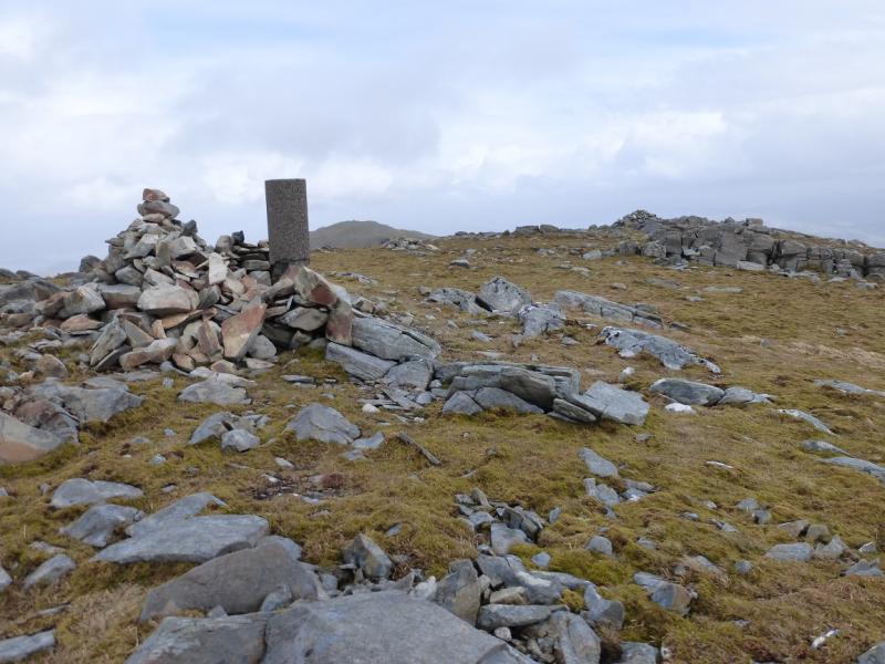
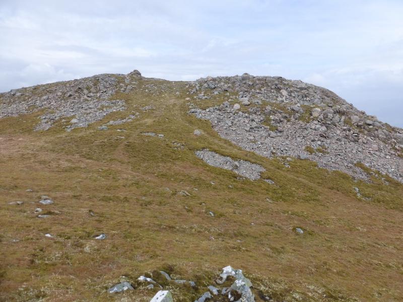
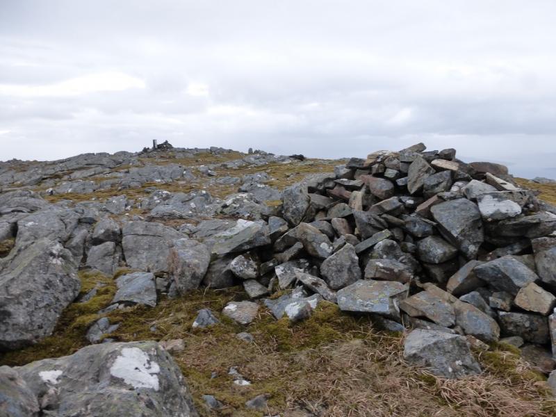
(2) Descend roughly NE down generally easy grassy slopes to reach the broad Bealach nam Mulchag which has several “bumps” in it, one of which has a cairn. The way ahead looks like rocky but to the left of the rocky area, a path picks its way up to easier ground. The path continues and, although faint in places, it does go all the way to the summit up a fairly well defined ridge. There are two cairns. It appears that the left, W, one is the higher. It is certainly the larger so this is the summit of Beinn na Caillich, 732 m.
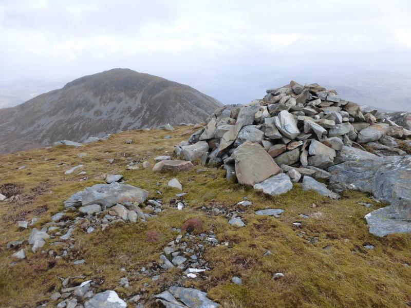
(3) Retrace to the bealach. The shortest way back is over Sgurr na Coinnich then retrace the rest of the outward route although some will think it worth contouring around either the W or E side of Sgurr na Coinnich to avoid the reascent.
Notes
(a) This walk took place on 11th May, 2015.
Photos - Hover over photo for caption. Click on to enlarge. Click on again to reduce.
 from Sgurr Mhic Bharraich.JPG)