Get Lost Mountaineering
You are here: Scotland » 03 North-west Argyll, Appin and Glencoe » Ballachulish & Connel to Loch Etive
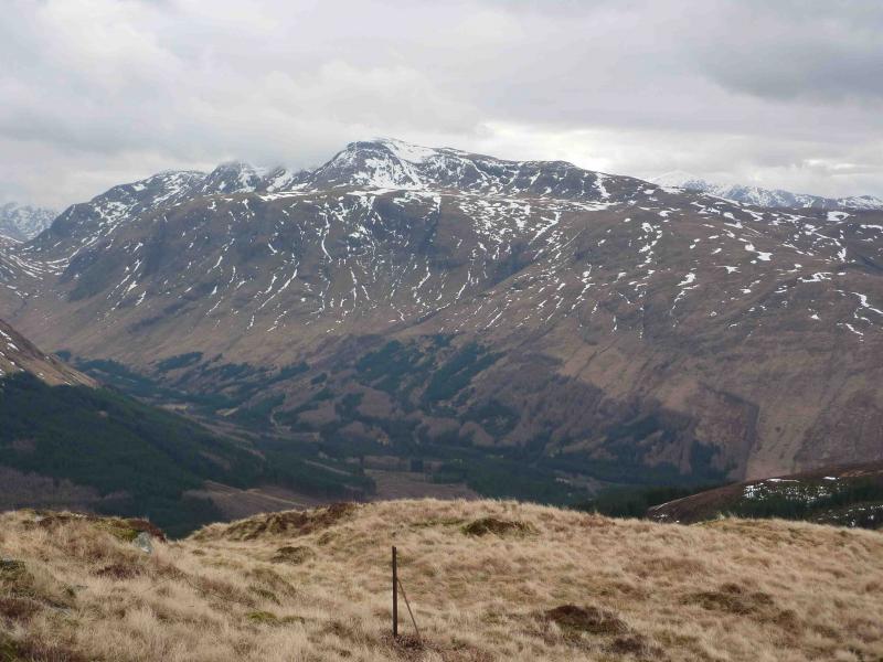
Beinn Fhionnlaidh from Glen Creran
Beinn Fhionnlaidh from Glen Creran
Start/Finish
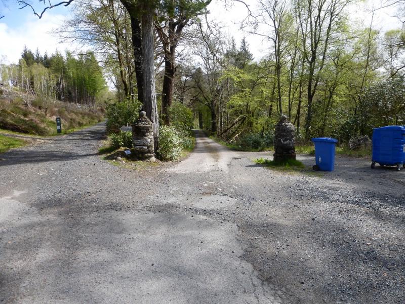
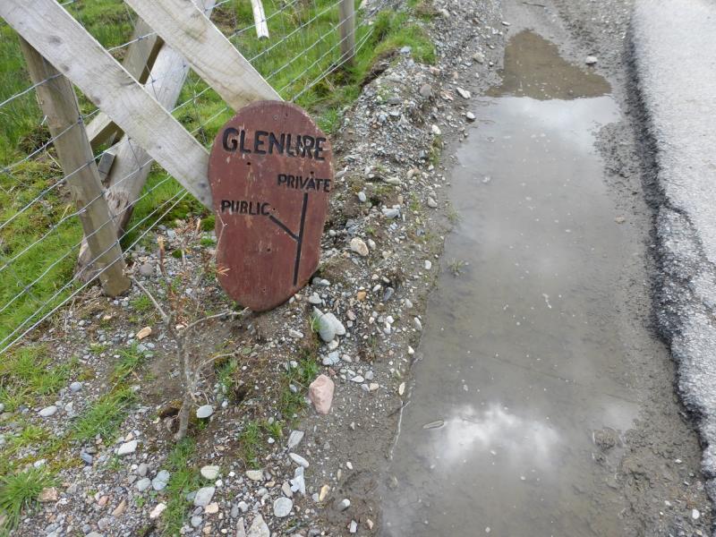
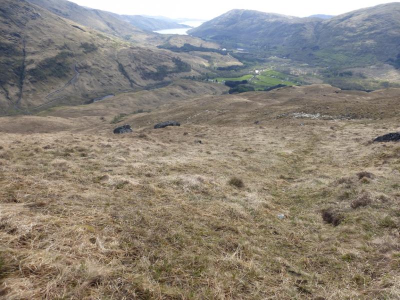
End of the public road in Glen Creran. From the large bridge on the A828 road from Ballachulish to Oban, take the road up Glen Creran on the N side of the bridge. When the next bridge is reached, near Glasdrum, take the minor road, straight ahead and follow it for just under 3 miles to the end of the public road at the old stone posts for the entrance to Glenure. There is a free car park here.
Distance/Time
15 km. About 6 – 7 hours.
Peaks
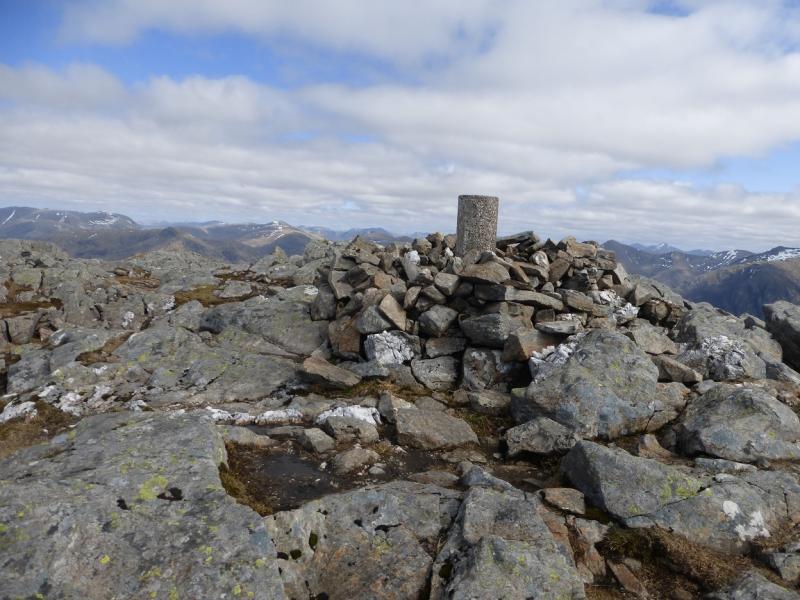
Beinn Fhionnlaidh, 959 m, NN 095 498. OS Sheet 50.
Introduction
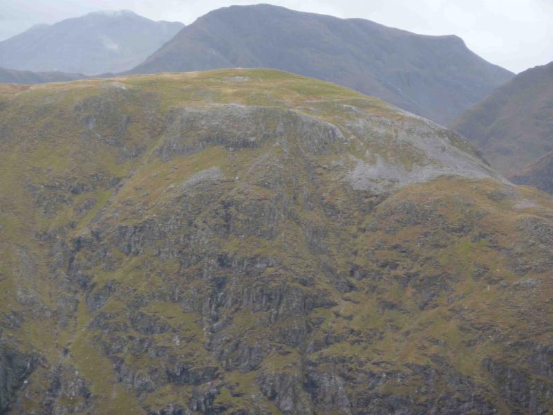
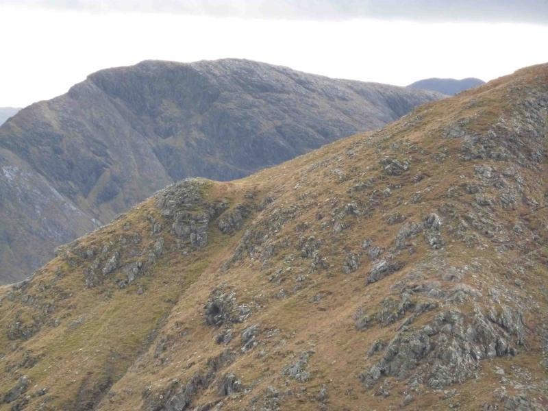
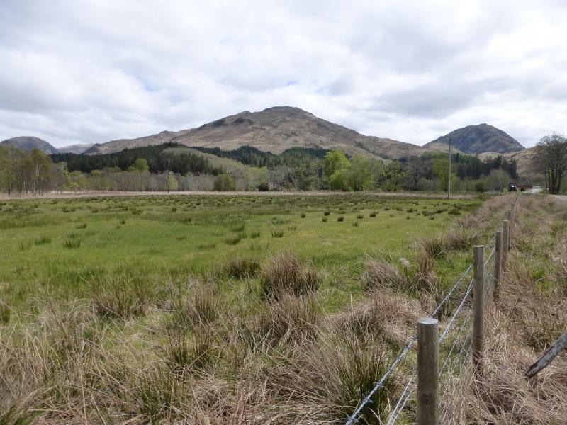
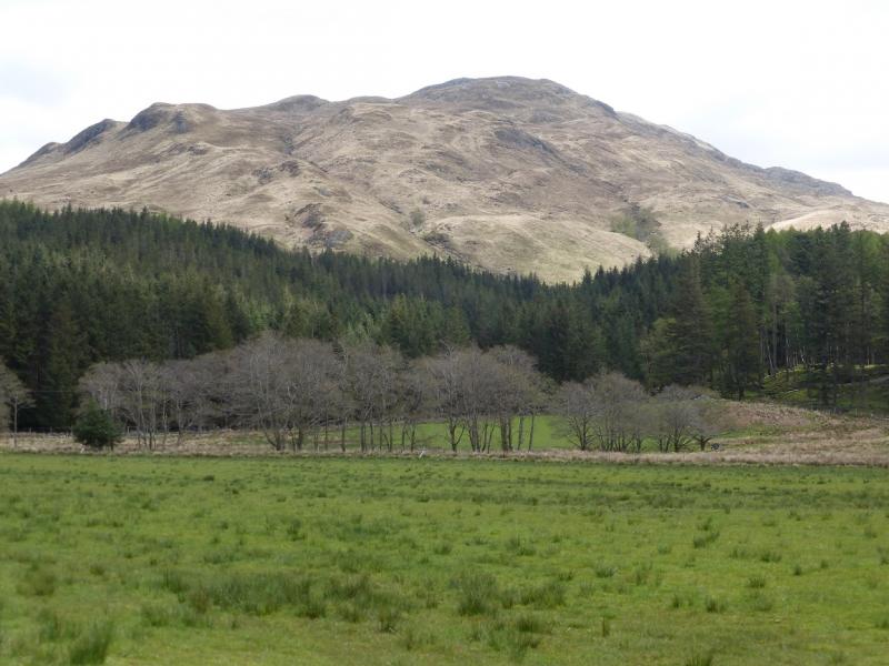
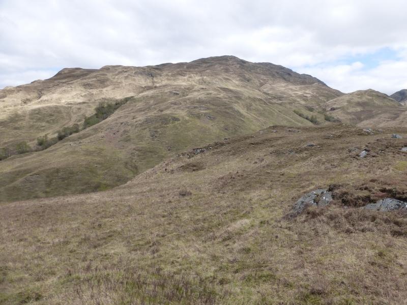
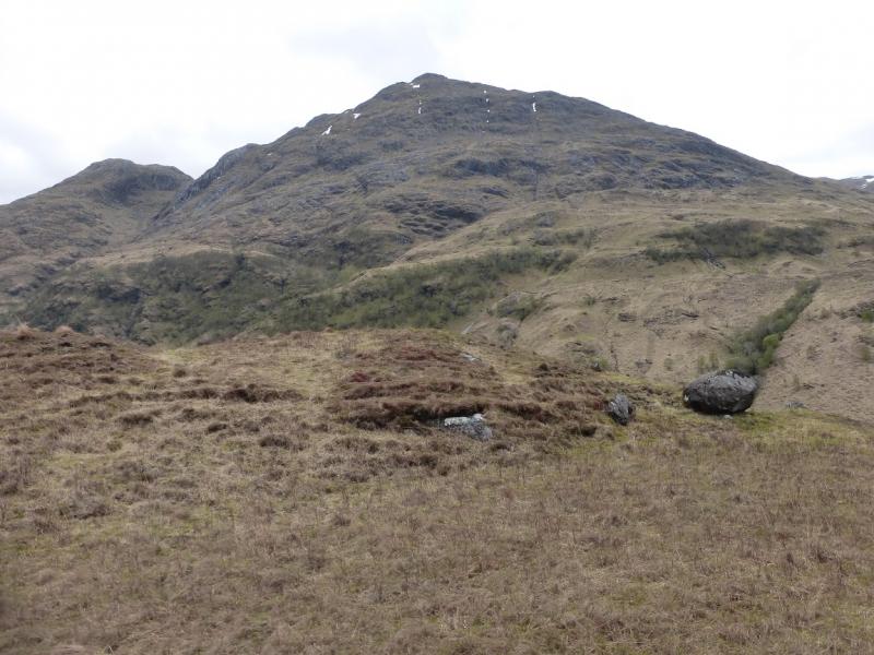
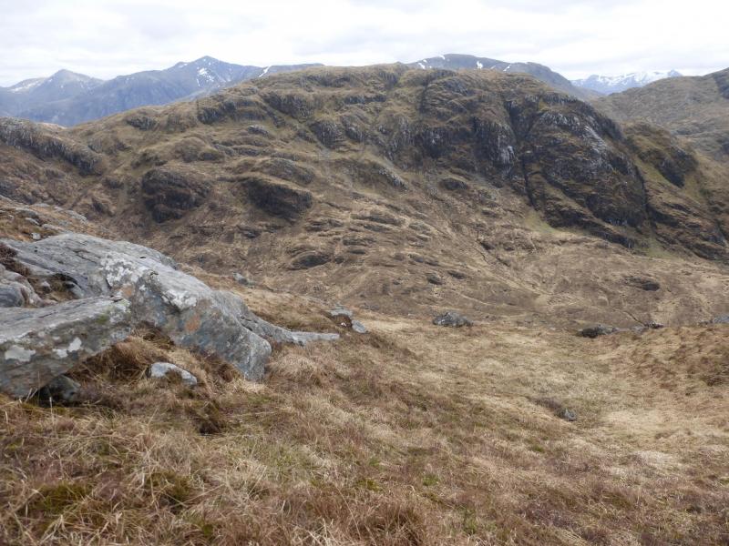
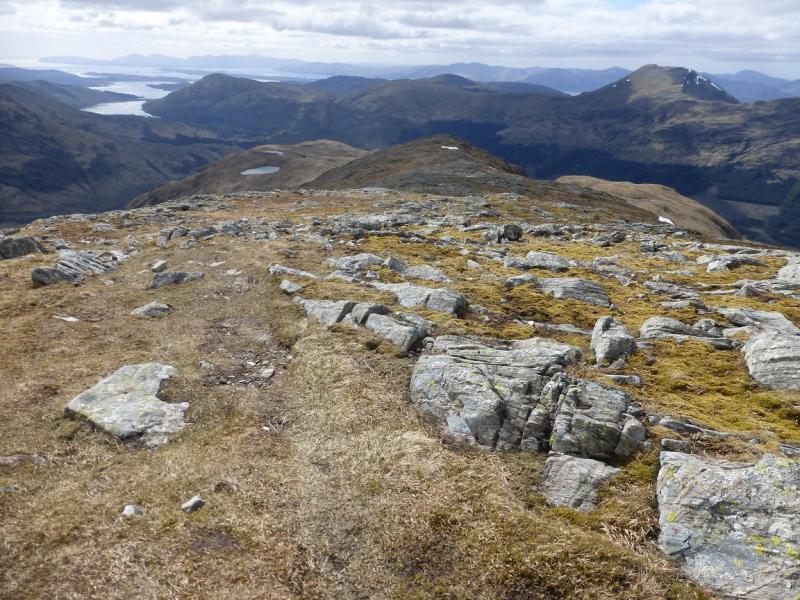
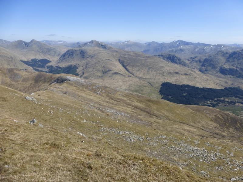
Beinn Fhionnlaidh is a hard to get at Munro with the shortest approach being from Glen Etive where a good track takes one about halfway and a distinct path goes the rest of the way but there is a problem river crossing in wet weather. This route goes up its long west ridge which is not that well defined. There does not seem to be an obvious path but the ground is not difficult although navigation may be difficult in mist. There are outstanding views in all directions but especially of Beinn Sgulaird, Sgor na h-Ulaidh, Ben Starav, Beinn Trilleachan and Stob Coir'an Albannaich. Even the reclusive Meall nan Eun is visible.
Route
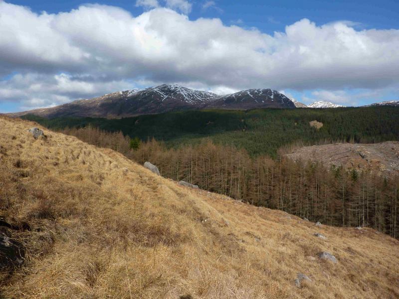
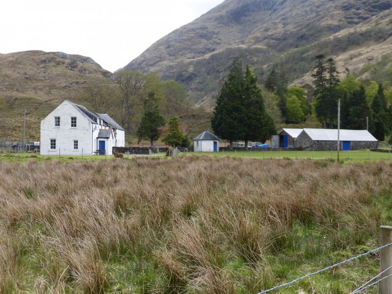
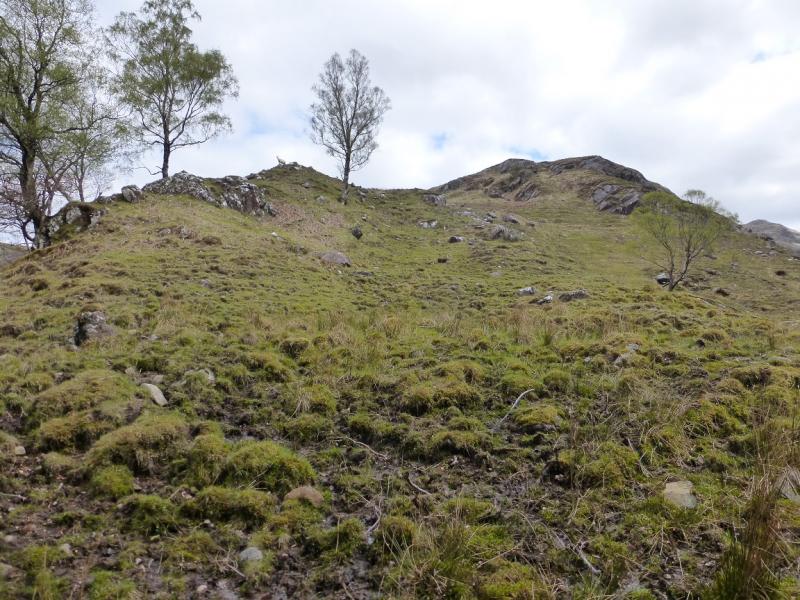
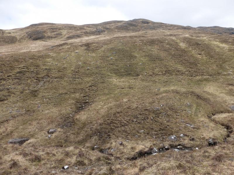
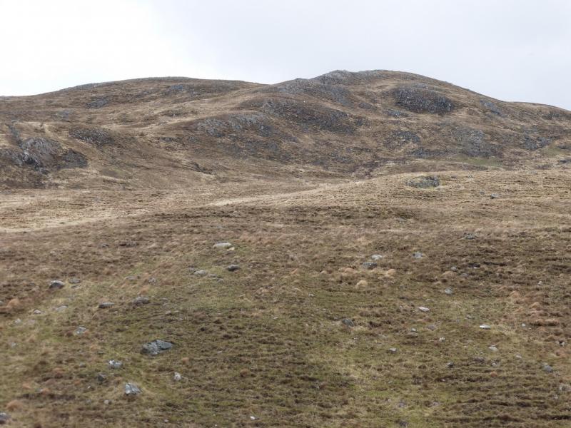
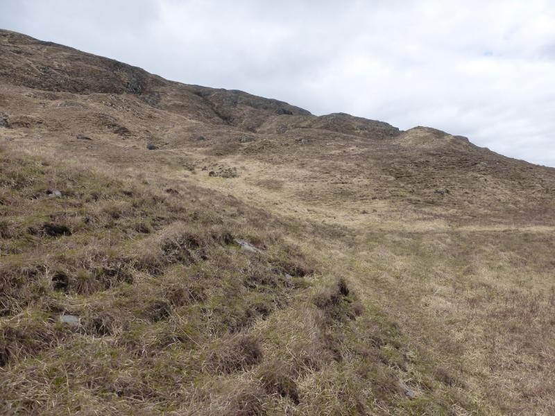
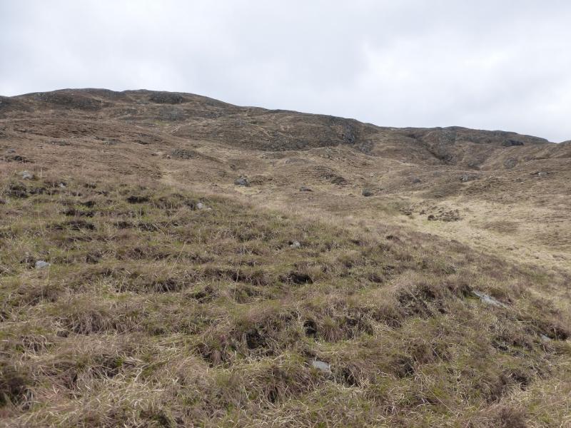
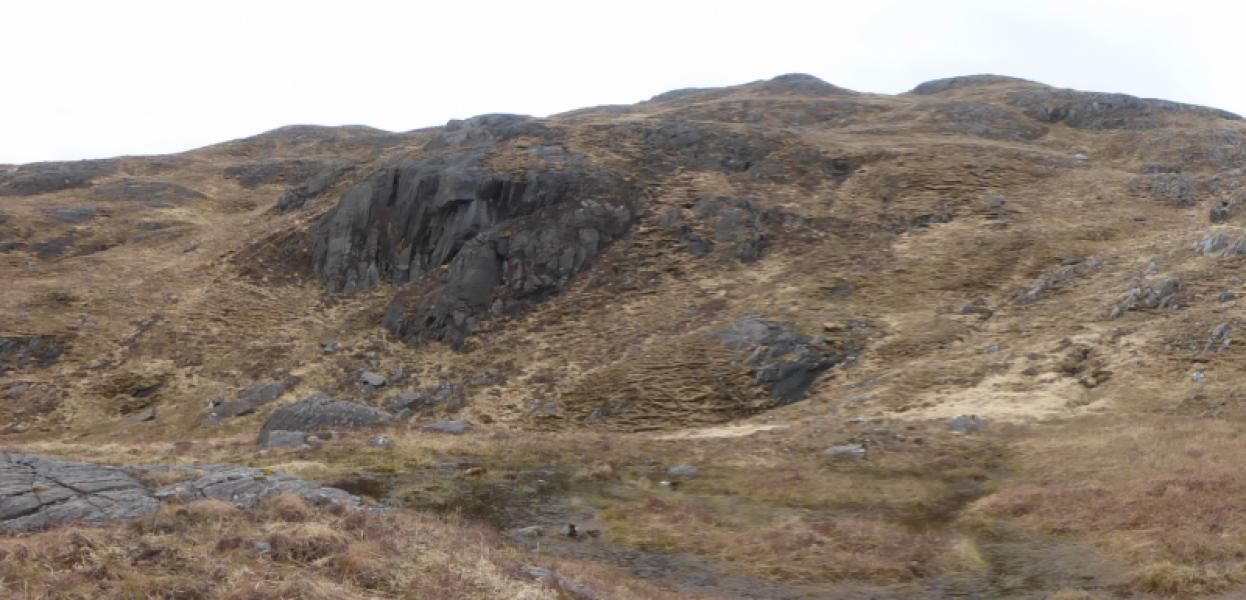
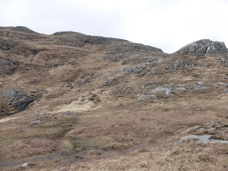
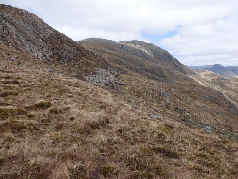
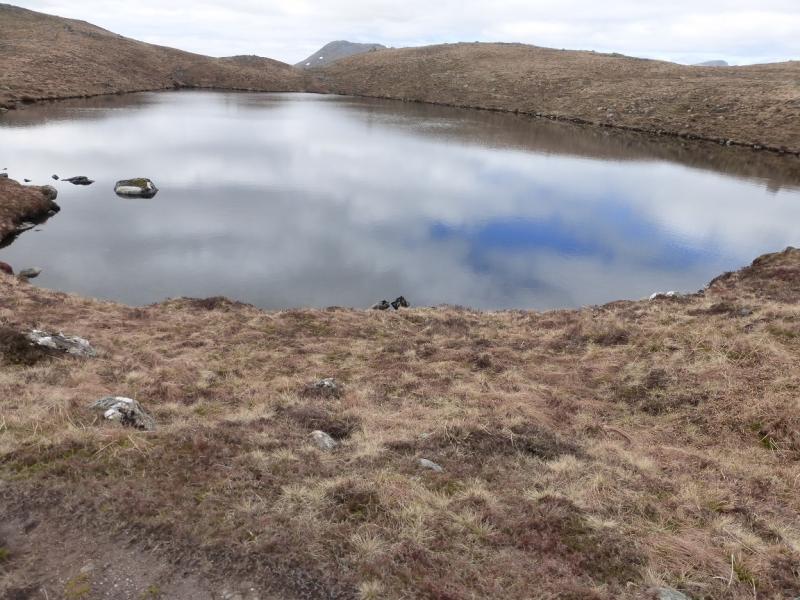
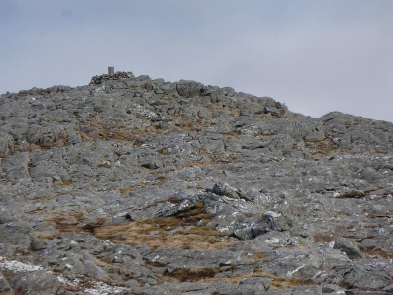
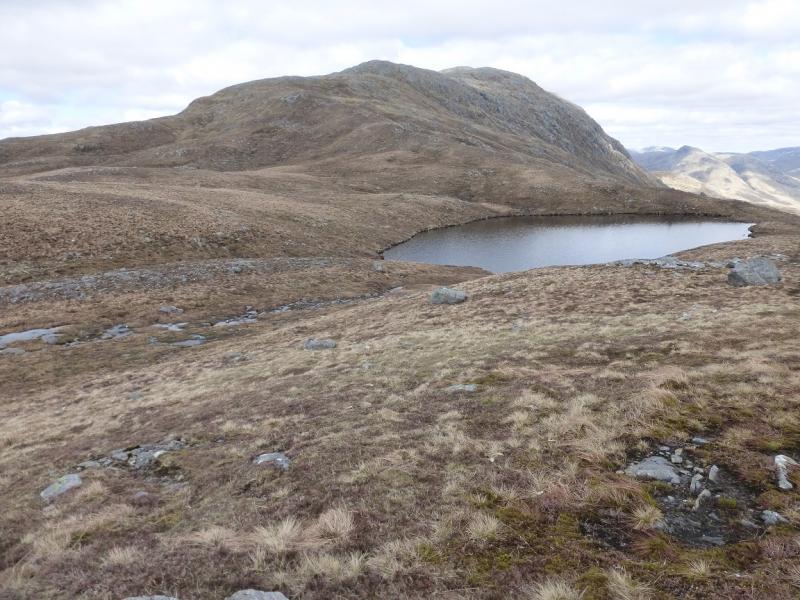
(1) Walk along the track to Glenure and pass the old ruined building to reach a track behind. Go right, can be boggy, and walk a few hundred metres then leave the track, just before it starts to descend again above the river, and pick a way on to the ridge on the left. Follow this undulating ridge up, heading roughly E. Higher up, gradually curve around to the left. There is more than a hint of a path and if you can follow it then you will cross a stream before picking a way up steeper slopes before joining the main crest at Lochan Cairn Dierg. It is still about 2 km and 360 m to the summit! Follow the path along the crest, not always obvious and boggy in places. Eventually, reach the trig point in a shelter cairn which is the summit of Beinn Fhionnlaidh, 959 m.
(2) Retrace back to Lochan Cairn Dierg. Either retrace the outward route or continue down the ill-defined crest. Aiming for the corner of the forestry at NN 049 485, one should meet a rough track, just above the trees, which leads down to a better track opposite an iron gate. Turn left and follow the better track back to Glenure then take the private road back to the start.
Notes
(a) This walk took place on 5th August, 1994, and 13th May, 2015.
(b) A slightly alternative ascent, possible easier to navigate in mist, would be to turn left after Glenure then take the rough track opposite the iron gate (as described on the descent route). Follow this to its end then pick a way up the main crest to Lochan Cairn Dierg. You may be lucky enough to find a path!
Photos - Hover over photo for caption. Click on to enlarge. Click on again to reduce.