Get Lost Mountaineering
You are here: Scotland » 03 North-west Argyll, Appin and Glencoe » Ballachulish & Connel to Loch Etive
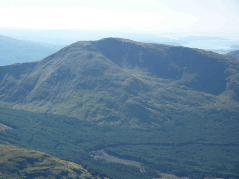
Fraochaidh from Auchindarroch
Fraochaidh from Auchindarroch
Start/Finish
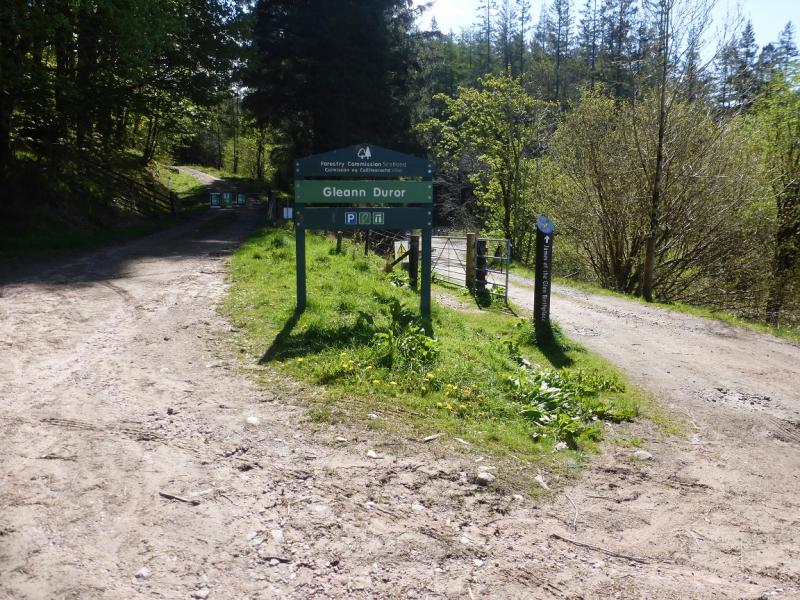
Drive south from the roundabout near Ballachulish, taking the A828 for Oban. Go through Kentallen then take a left turning for Auchindarroch and Glen Duror just before Duror on the main road. Follow the road to its end where there is usually adequate parking.
Distance/Time
12 km About 5 – 6 hours.
Peaks
Fraochaidh, 879 m, NN 029 517. OS sheet 41.
Introduction
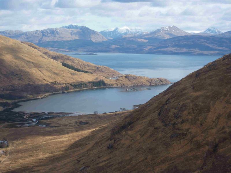
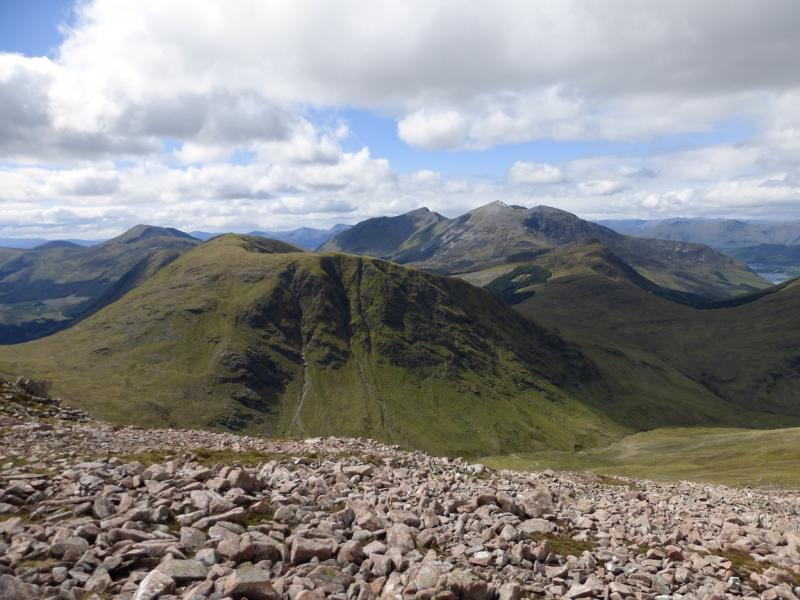
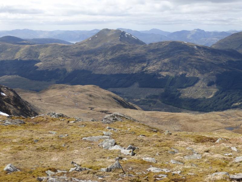
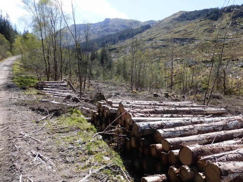
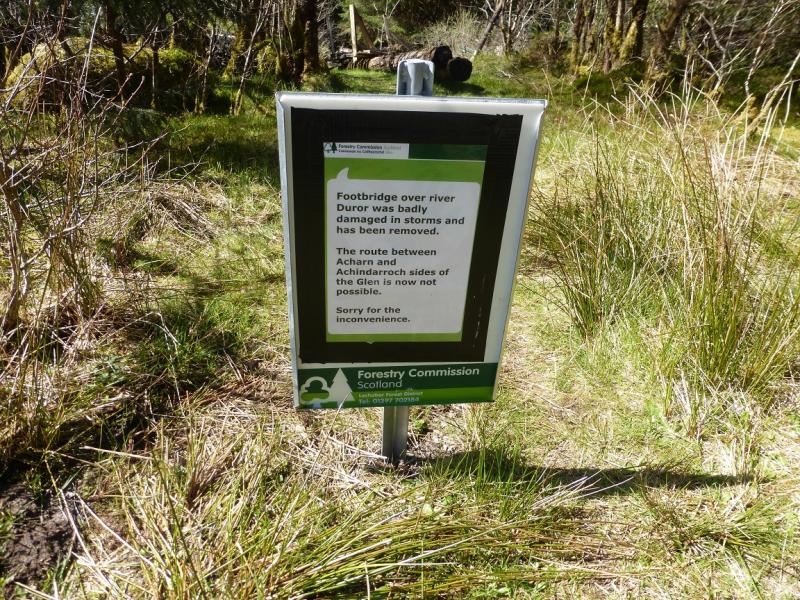
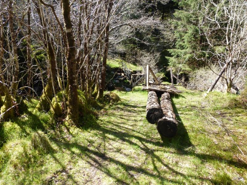
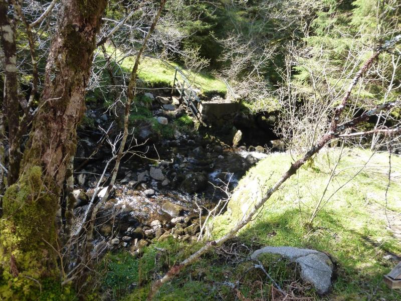
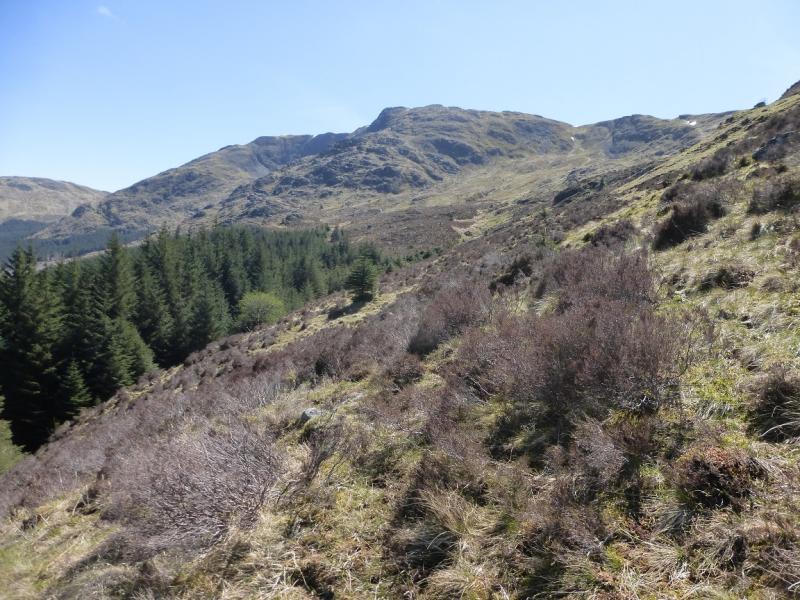
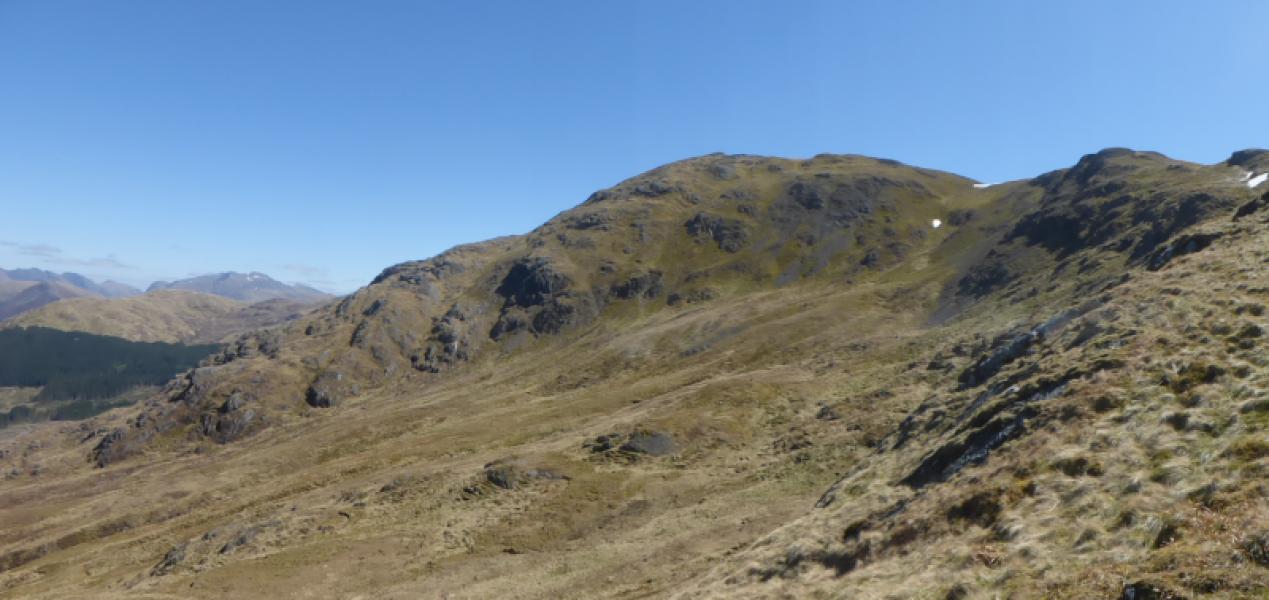
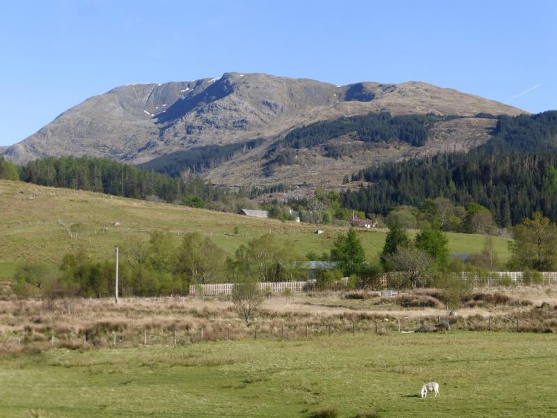
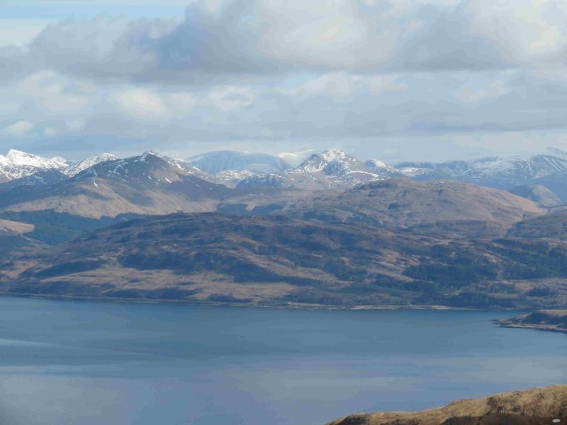
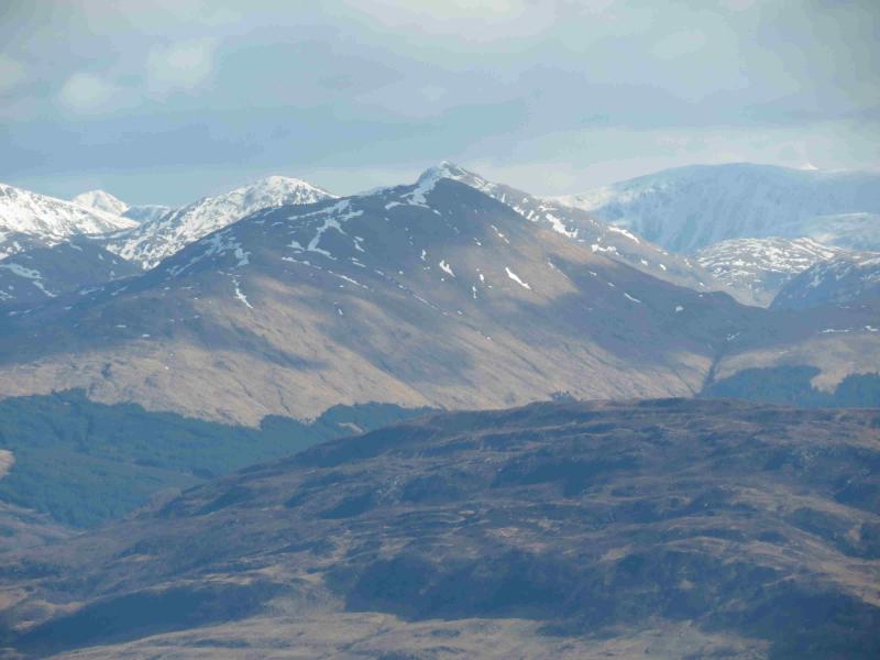
This Corbett is usually reached by a long walk in from Ballachulish and this is the recommended route in “The Corbetts” (SMC). However, recent forestry clearing has opened up a shorter route, saving about 2 hours, from Auchindarroch to the west. It is unclear what the future forestry plans are and whether there will be continued access unhindered by trees. This route involves a river crossing for which there is no longer a bridge so would only be possible in a dry spell. There is an alternative, forestry operations permitting which get around this and could allow the use of a bicycle to the foot of the north west ridge. Fraochaidh is one of the best viewpoints in Scotland. From the summit, there is a 360o panorama which includes the Glencoe peaks, Mamores, the mountains across Loch Linnhe, the western seaboard and Glen Etive. To list them all individually would probably fill a page!
Route
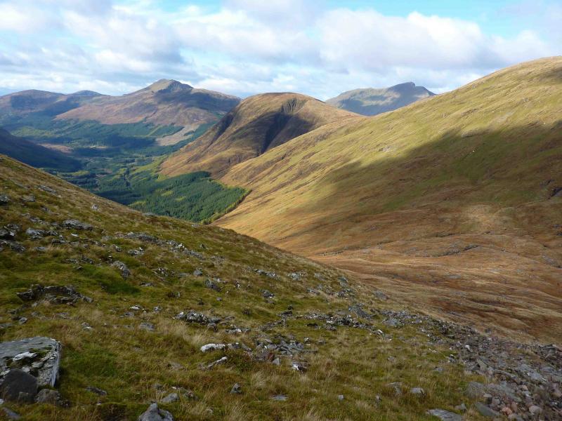
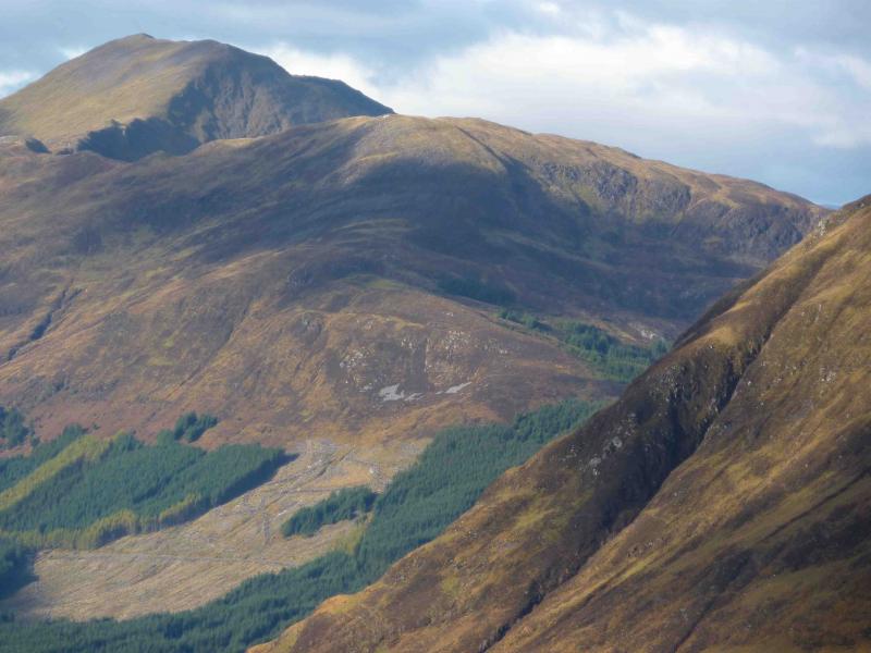
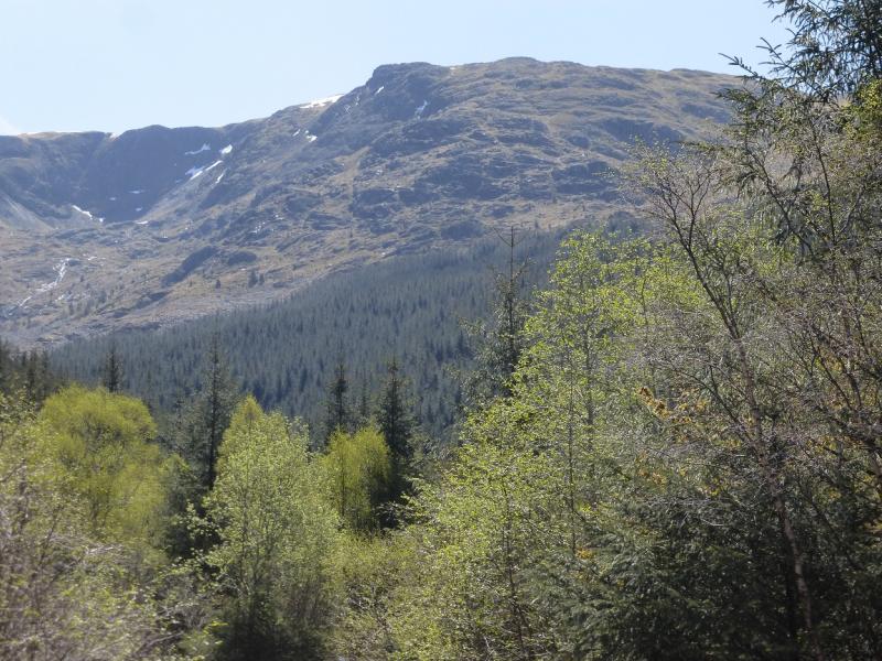
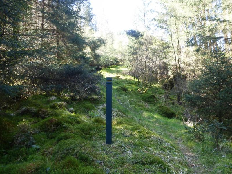
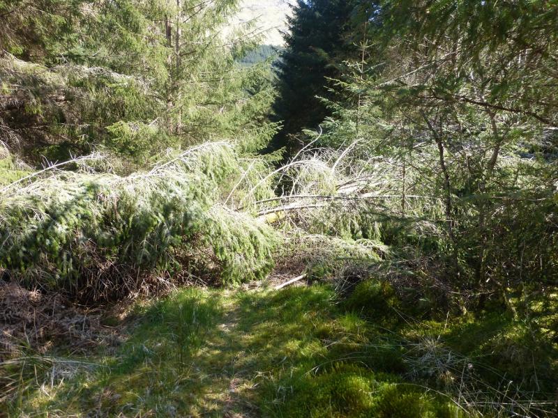
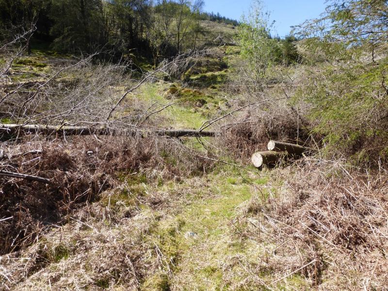
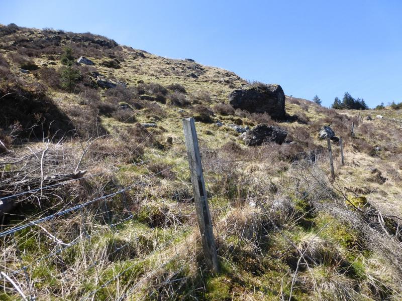
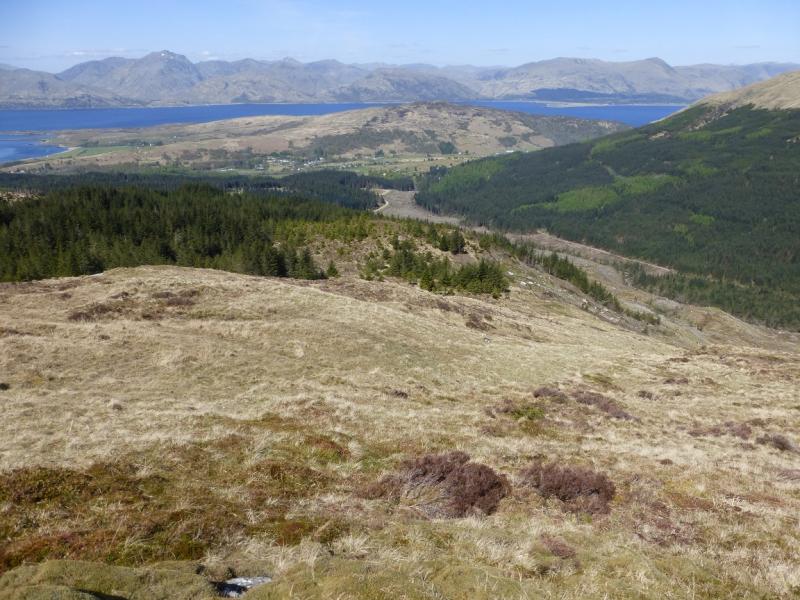
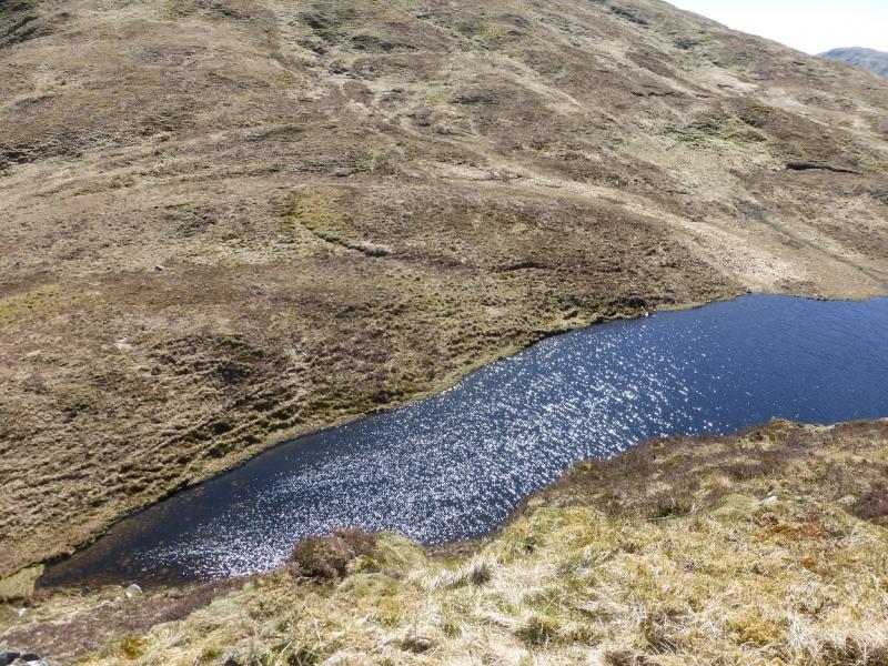
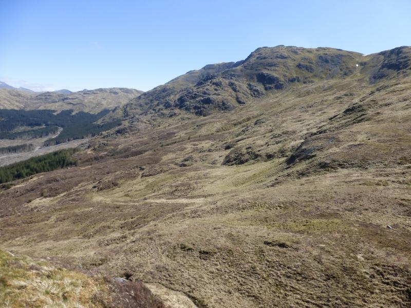
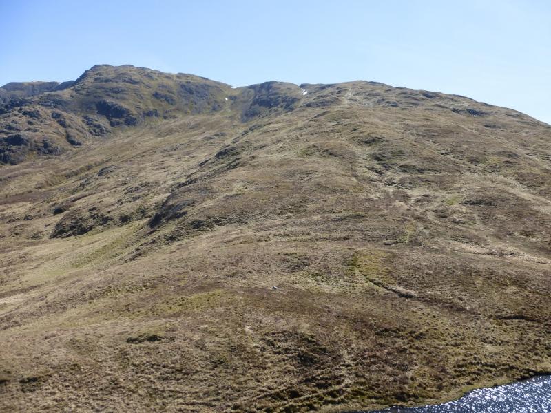
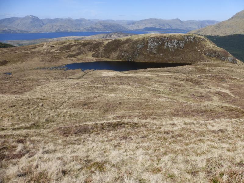
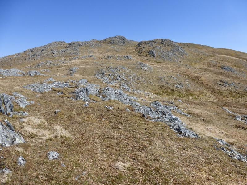
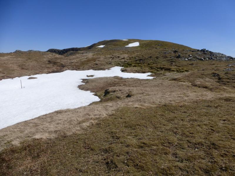
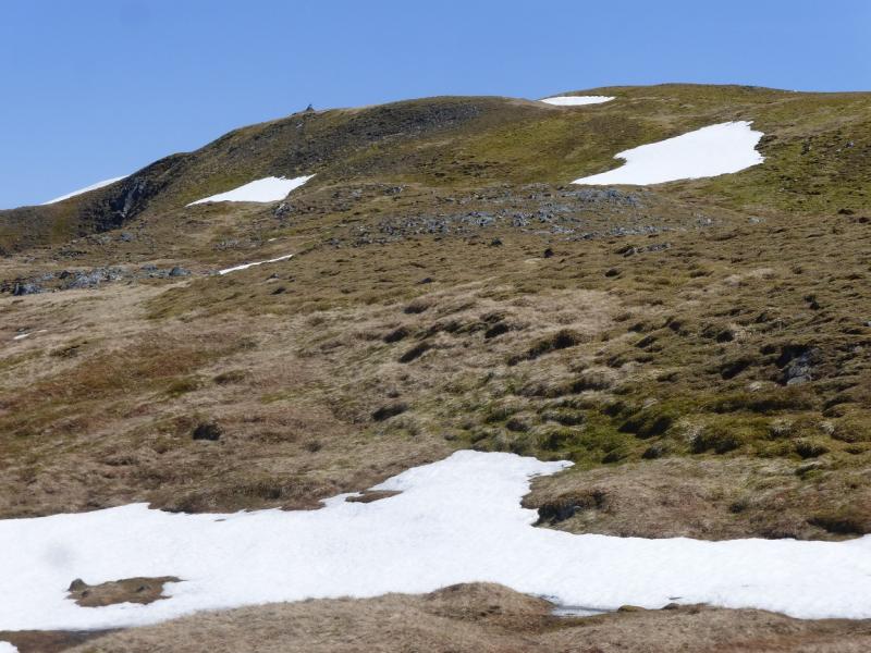
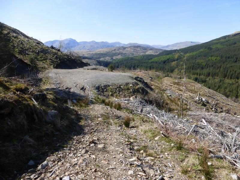
(1) Take the lower forestry track (the one on the right) and follow it up the glen. The N/NW ridge will be fairly obvious on a clear day. After about 30 minutes walking, reach the sign about the removed bridge. Cross the river here and continue up the obvious path which is made more awkward by some fallen trees. Emerge from the forest on a very rough track which can be seen to quickly become a forestry track. Before the forestry track is reached, go left, uphill, roughly S, and start picking a way through the cleared section of forestry. The clearance debris is not too bad and there is a very faint path although it is not obvious. Reach a low/medium fence and cross it (no stile) near a large boulder. The forestry is now behind you. Pick a way up the mainly grassy slopes which are moderately steep. Reach a level shoulder which looks down on a lochan about 30 m below. A direct descent is not advised as there are some crags but a short diversion to the right avoids any difficulties and offers good views of Sgorr Dhearg across the lochan. Continue up the ridge gradually curving around to SW to reach the crest. In mist, it can be tricky to navigate from here as the ridge is not that well defined but the crest goes roughly E then SE. Nearer the summit, a line of fence posts comes in from the left and these are a useful guide. A small cairn within a “pyramid of iron fence posts” marks the summit of Fraochaidh, 879 m.
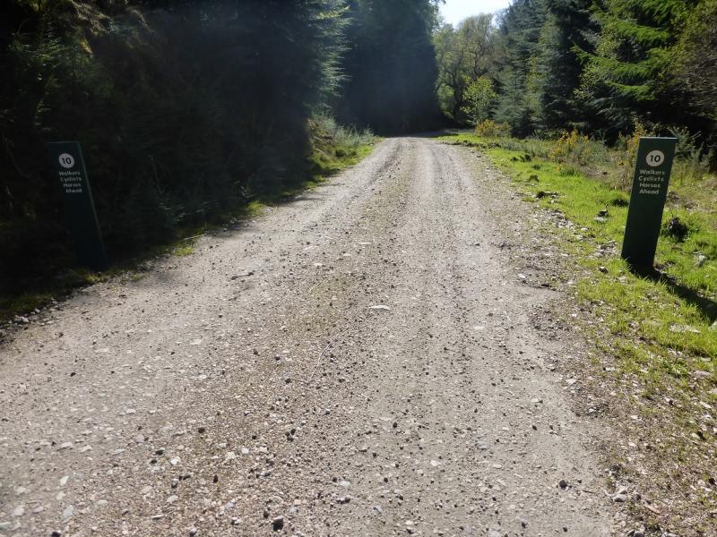
(2) Retrace to the end of the forestry track. The shortest way back is to retrace via the removed bridge. A longer alternative goes left along the forestry track which is followed, ignoring any left turns, to reach its foot, near an old, disused railway bridge. Walk away from the bridge and follow the long straight road which eventually meets the minor road to Auchindarroch. Turn right, uphill in places, and return to the car park.
Notes
(a) This walk took place on 14th May, 2015.
(b) With 2 cars it is possible to descend down the long ridge going initially ENE then ESE then NE to eventually cross the River Laroch in Gleann an Fhiodh before continuing to Ballachulish. This return is described as an outward in the posted walk for Fraochaidh from Ballachulish. Using public transport might also make such a traverse possible for the single walker.
(c) The alternative start, forestry operations permitting, is to take a right turn off the minor road to Auchindarroch and follow the long straight to just before an old disused railway bridge at about NM 995 548. This is near A' Charn. The forestry track which leads to the foot of the north west ridge starts about here. Follow it up, ignoring any turnings on the right to reach its end below the newly cleared area described in the route above.
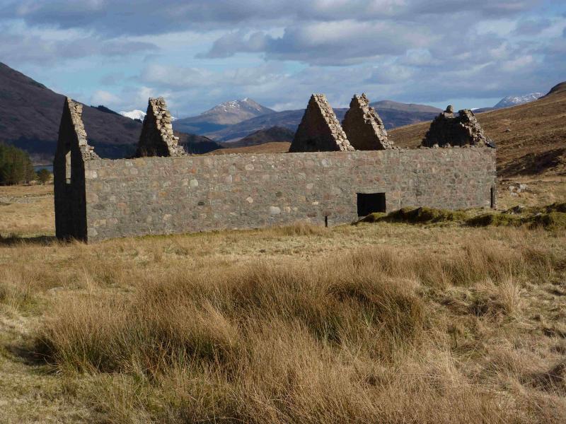
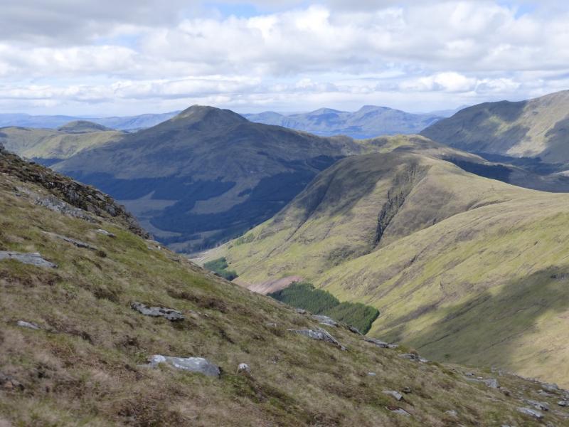
Photos - Hover over photo for caption. Click on to enlarge. Click on again to reduce.