Get Lost Mountaineering
You are here: Scotland » 09 Glen Roy to the Monadh Liath and Strathspey » Glen Roy & Creag Meagaidh
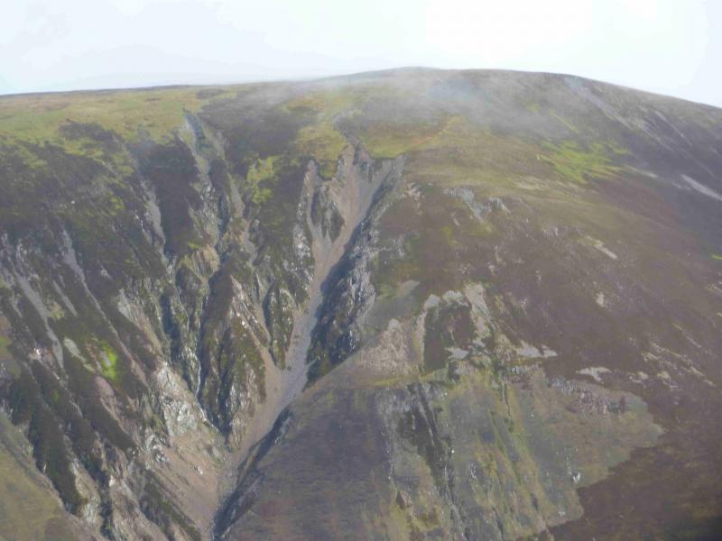
Leana Mhor (W of Glen Roy), Beinn Iariunn & North Ridge from Glen Roy
Leana Mhor (W of Glen Roy), Beinn Iariunn & North Ridge
from Glen Roy
Start/Finish
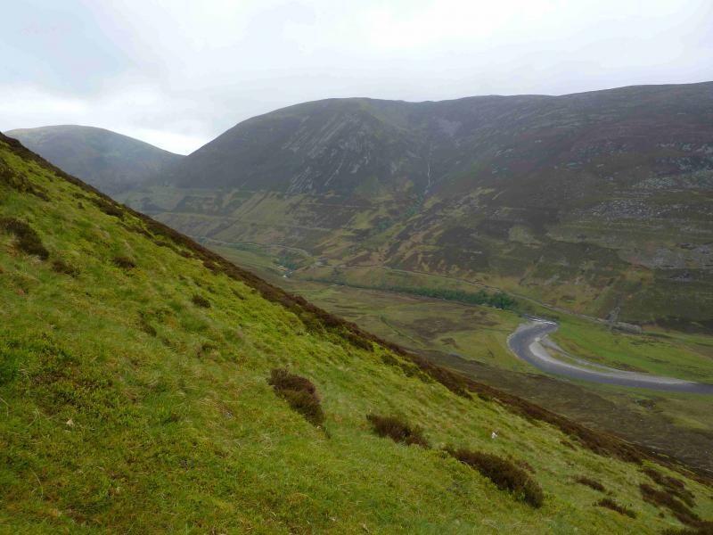
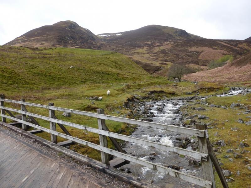
Glen Roy at about NN 300 880, just after the obvious bridge, where there is some off road parking opposite the two buildings. One is a large modern barn, the other is a stone “shed” which is actually an aerial relay station. The best parking is opposite this.
Distance/Time
14 km. About 6 hours.
Peaks
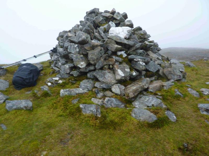
Leana Mhor, 685 m, NN 284 878.
Beinn Iaruinn, 800 m, NN 296 900. OS sheet 34.
Introduction
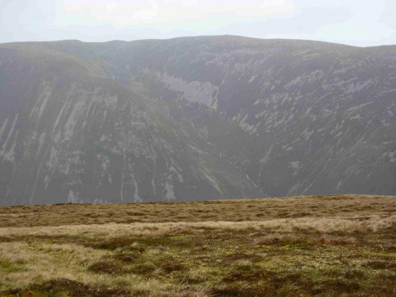
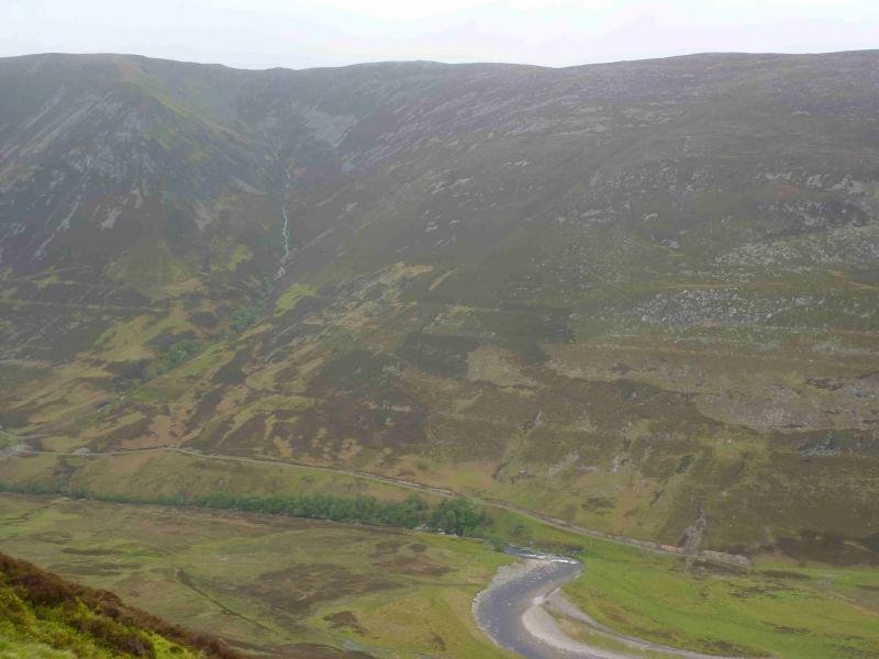
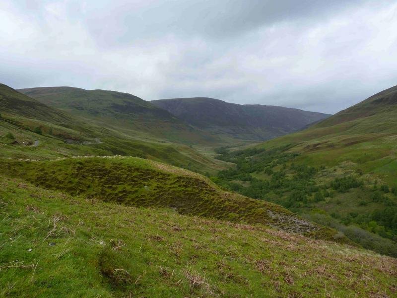
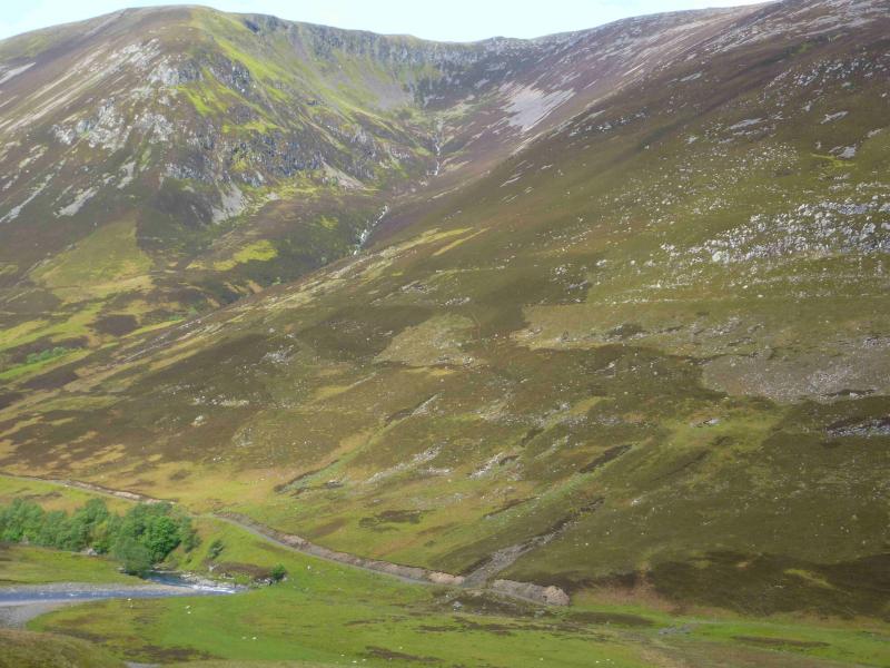
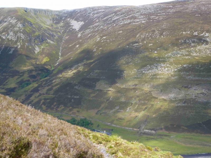
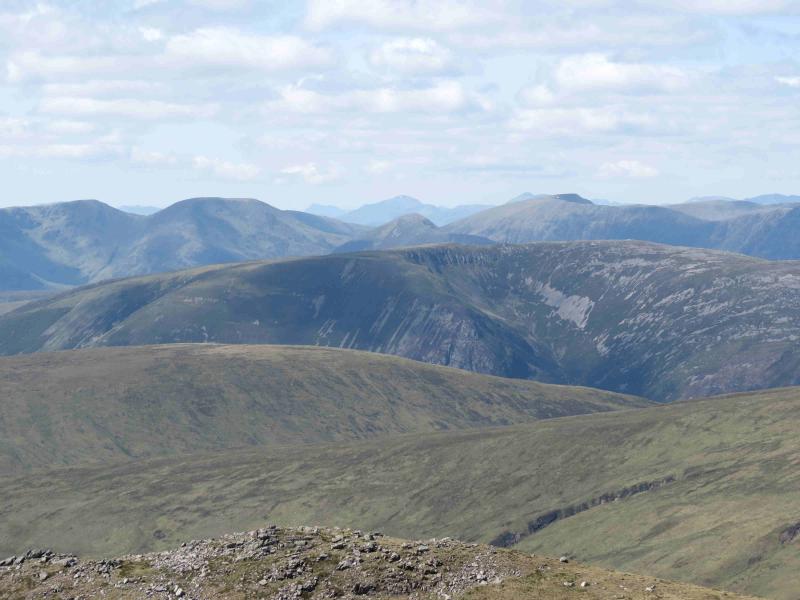
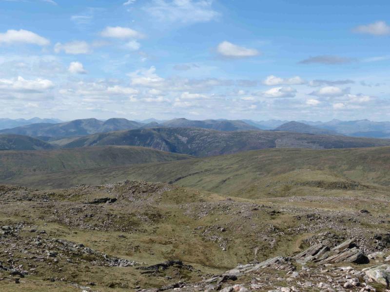
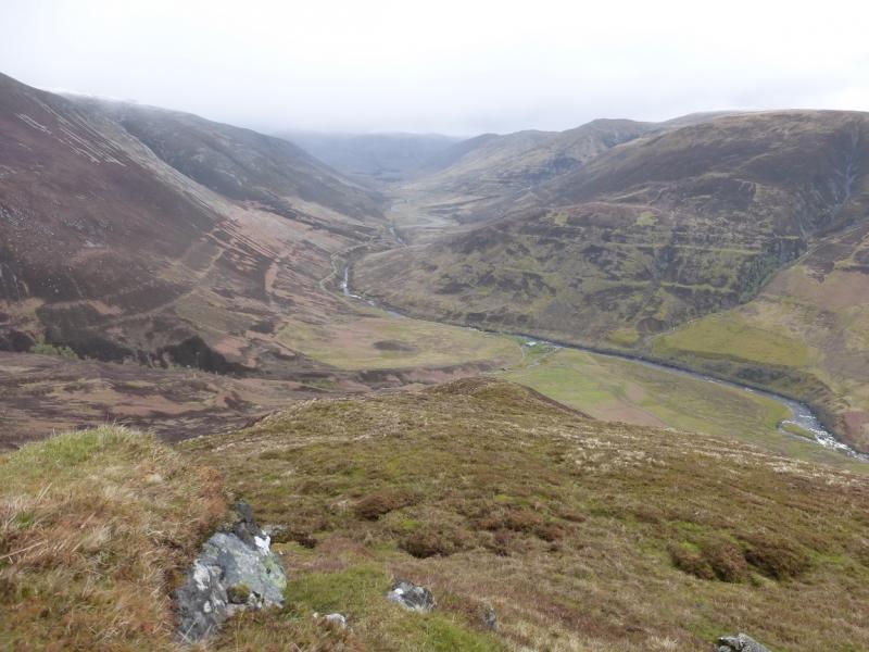
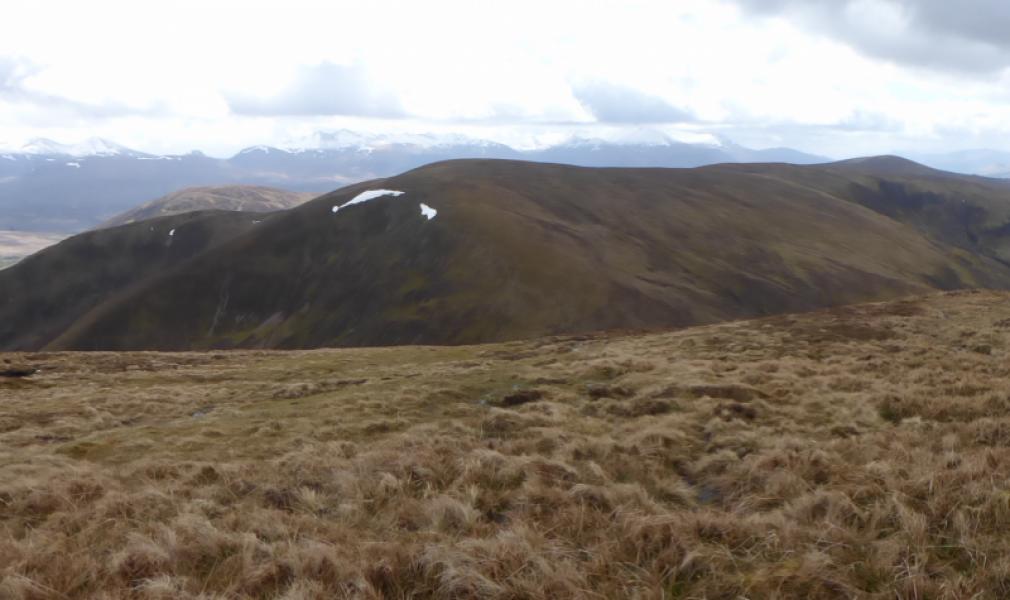
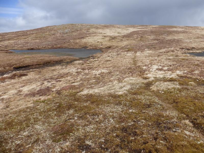
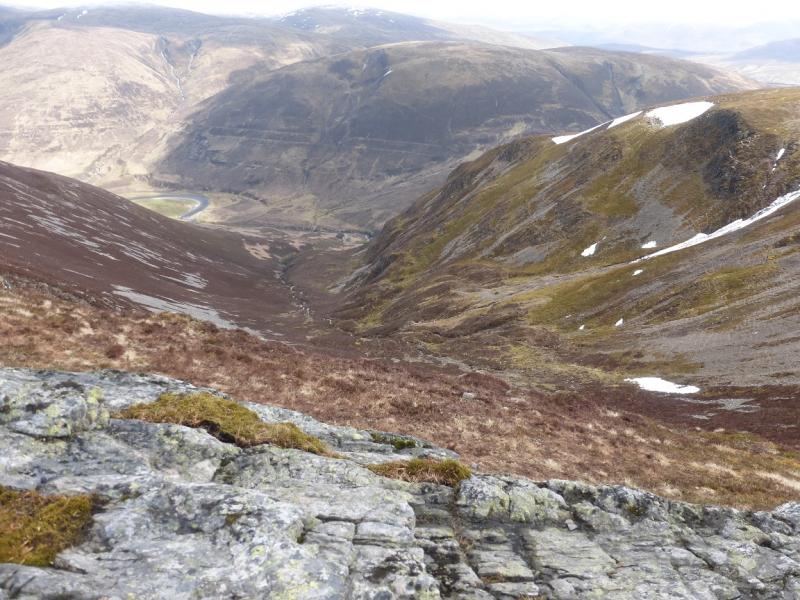
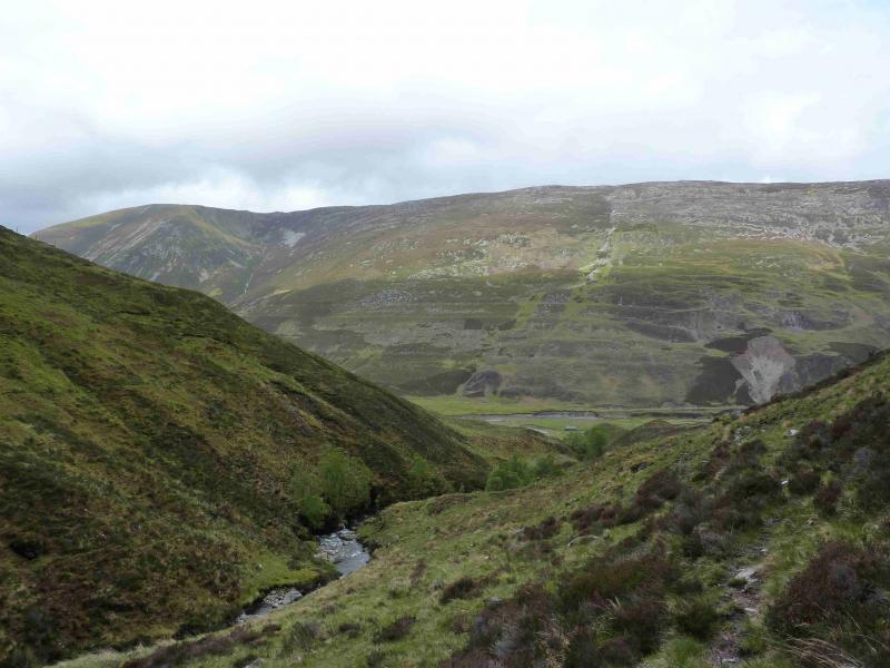
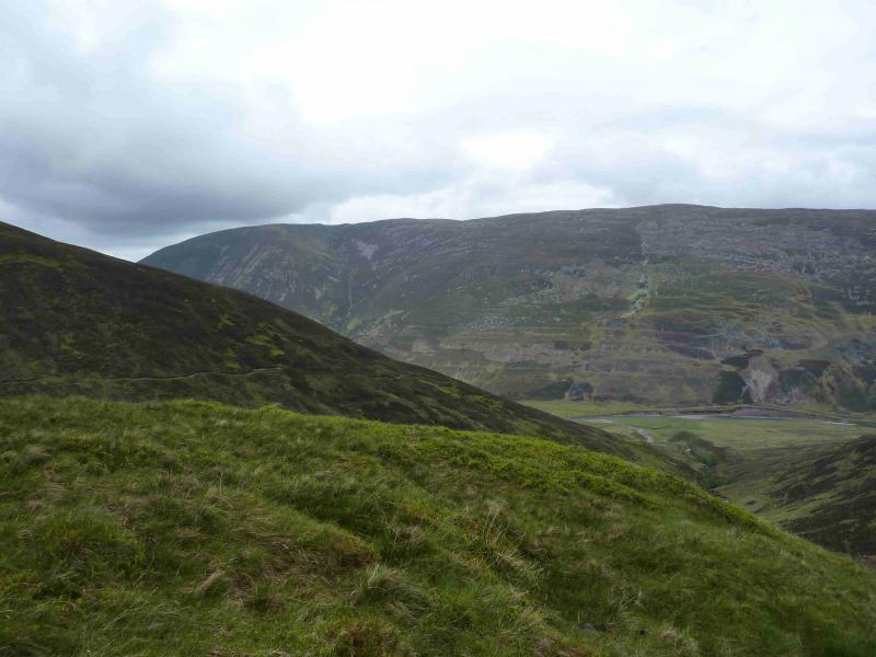
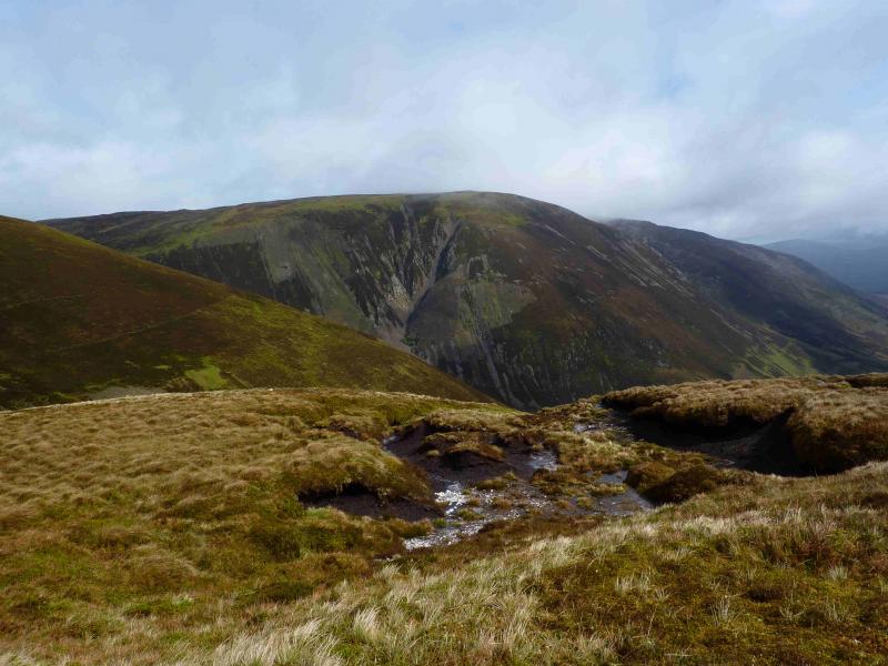
This walk gives good views of the Loch Lochy Munros and the mountains south of Glen Spean including Grey Corries and Aonach Mor. Most of the route is pathless on reasonably good terrain. Navigation will need care in mist. Glen Roy is well known for its “parallel roads” which are essentially “tide marks” left on the hills by retreating glaciers during the last ice age. These are shown on the 1989 OS 34 sheet as “tracks” but this is an over statement and they are often crossed unnoticed and should not be relied upon as paths or tracks. There is about 5 km of walking alnog the very quiet Glen Roy road at the end of the walk. This is avoidable if two cars are used or a bicycle is left at the end of the public road.
Route
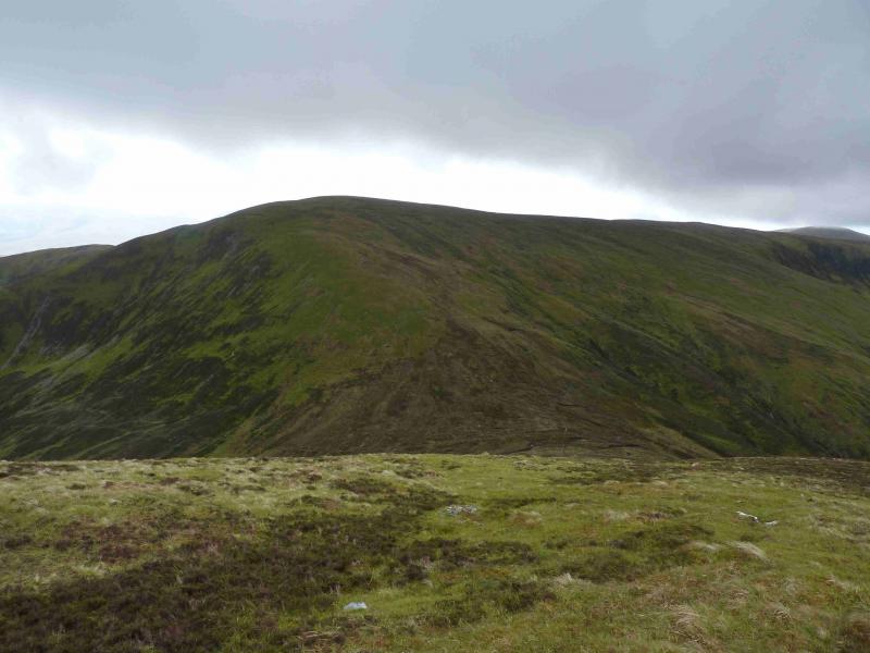
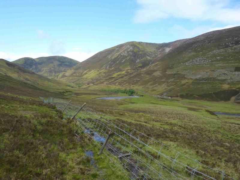
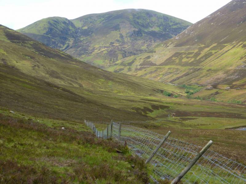
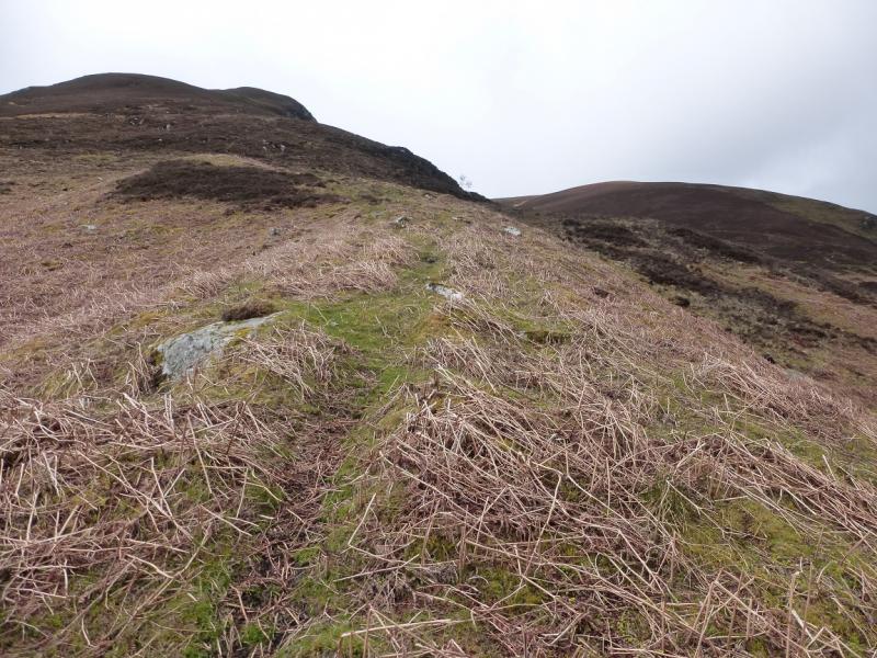
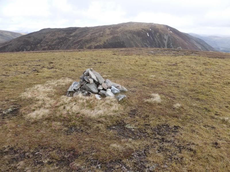
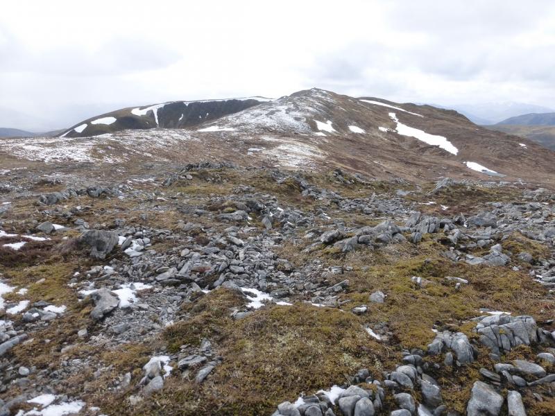
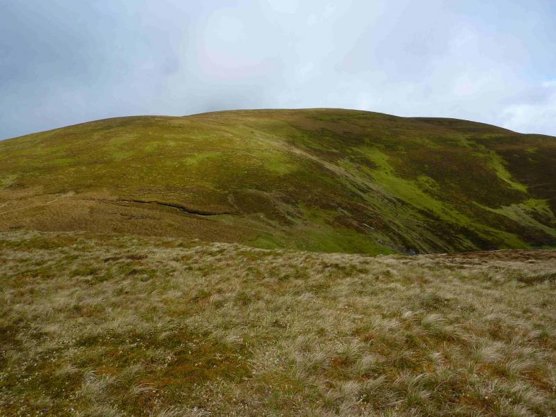
(1) Walk back along the road and cross the bridge. Ascend slightly to reach a fence going roughly SW. Follow the fence round to gain the ridge ascending SW. Ascend the ridge, on intermittent paths of grass and short heather, to reach the shoulder at NN 289 875 on which there is a small cairn. Descend slightly WNW then ascend NW then N to the summit plateau where there is a small cairn which is the summit of Leana Mhor, 685 m.
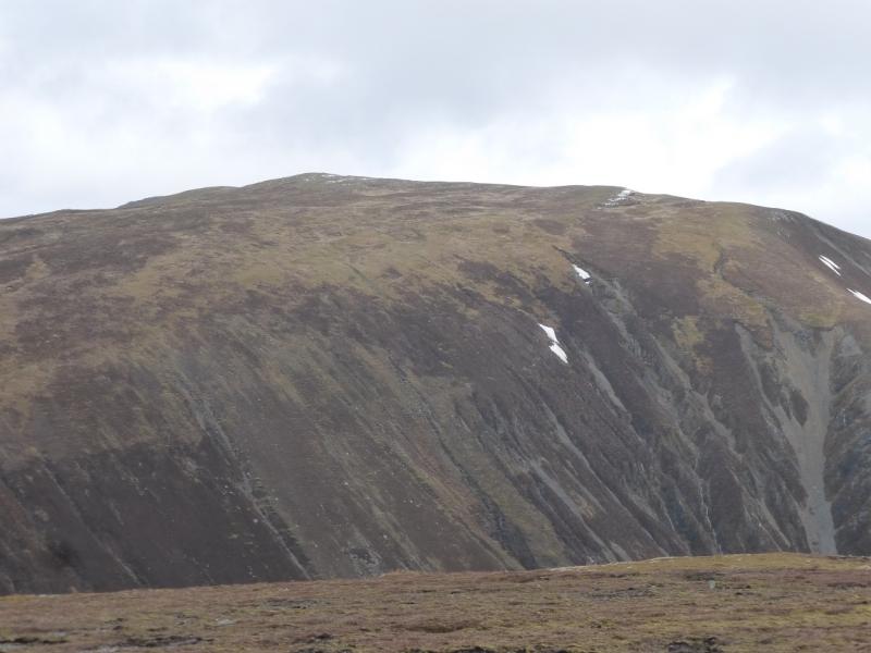
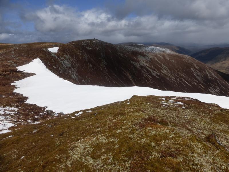
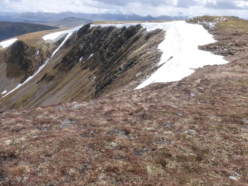
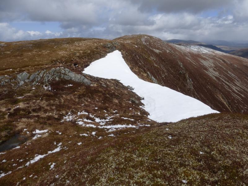
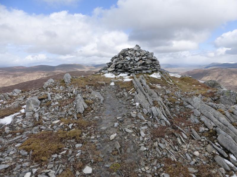
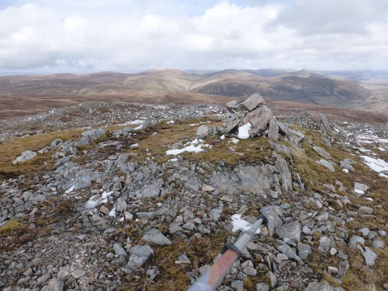
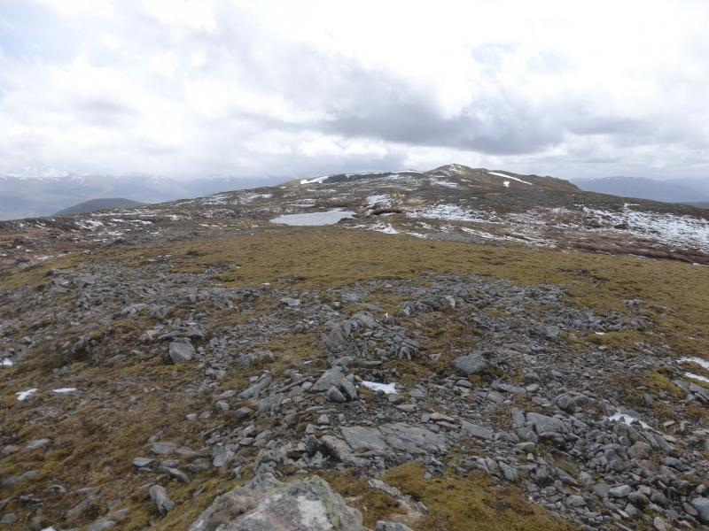
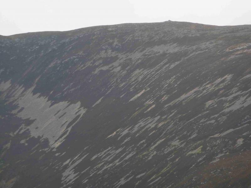
(2) Descend N on mainly grassy slopes to a bealach. A fence comes in from the W and runs down to a gate in the bealach which is narrow and boggy close to the fence. Follow the fence out of the bealach to its first corner then leave the fence and continue ascending NE up generally easy grassy slopes. When the angle eases, continue NE to reach the rim of Coire nan Eun then follow the rim N to reach the medium cairn which is the summit of Beinn Iaruinn, 800 m.
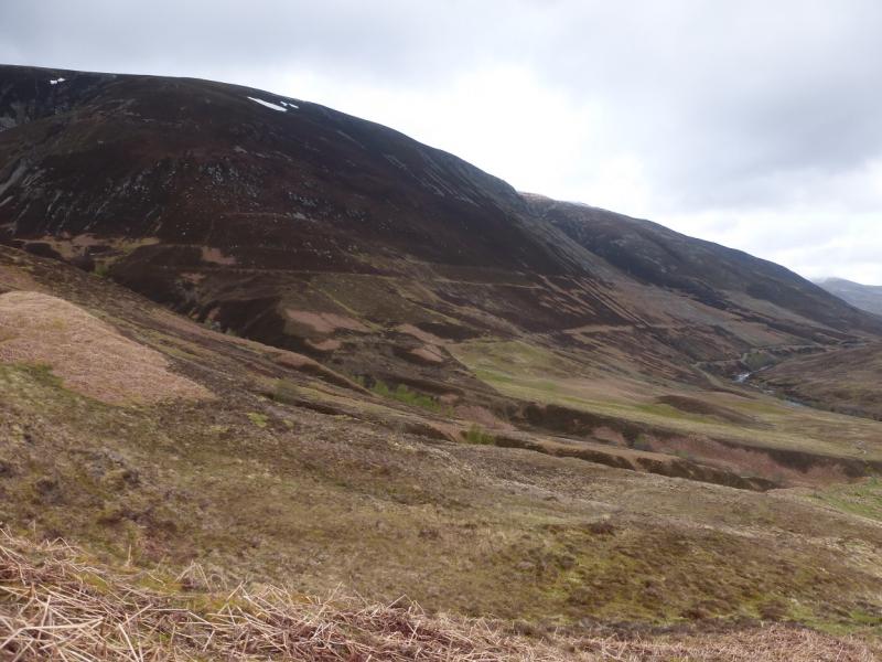
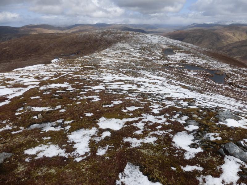
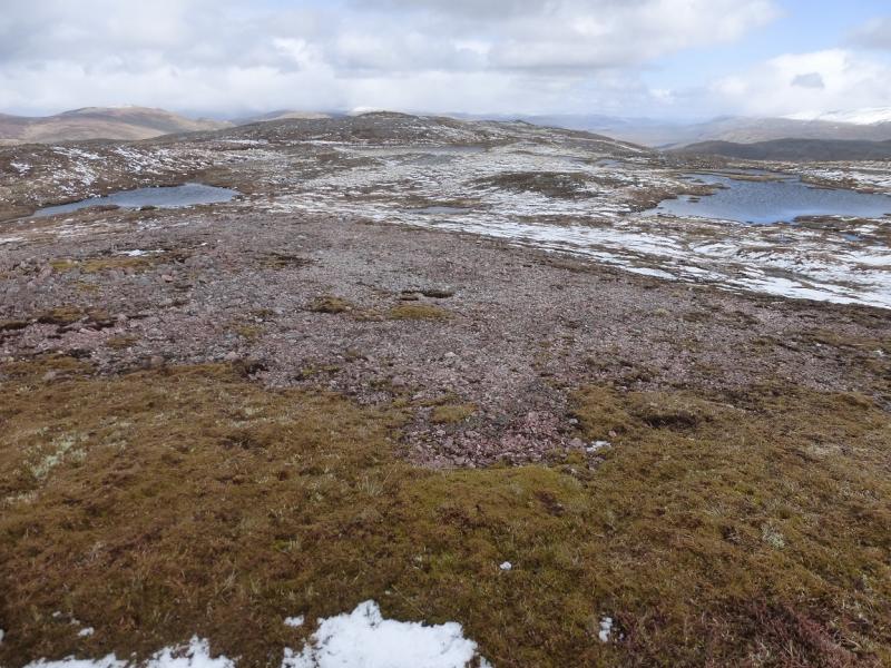
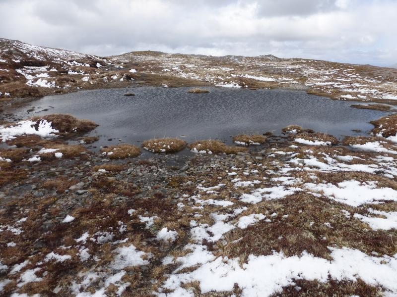
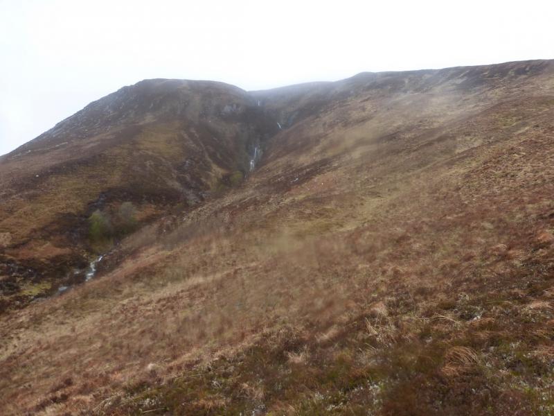
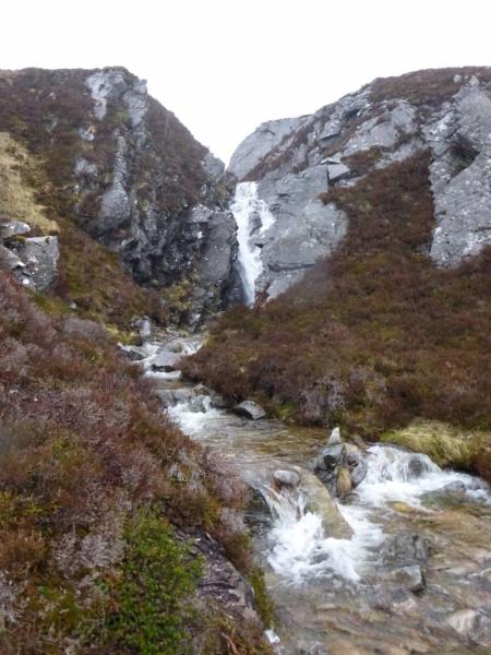
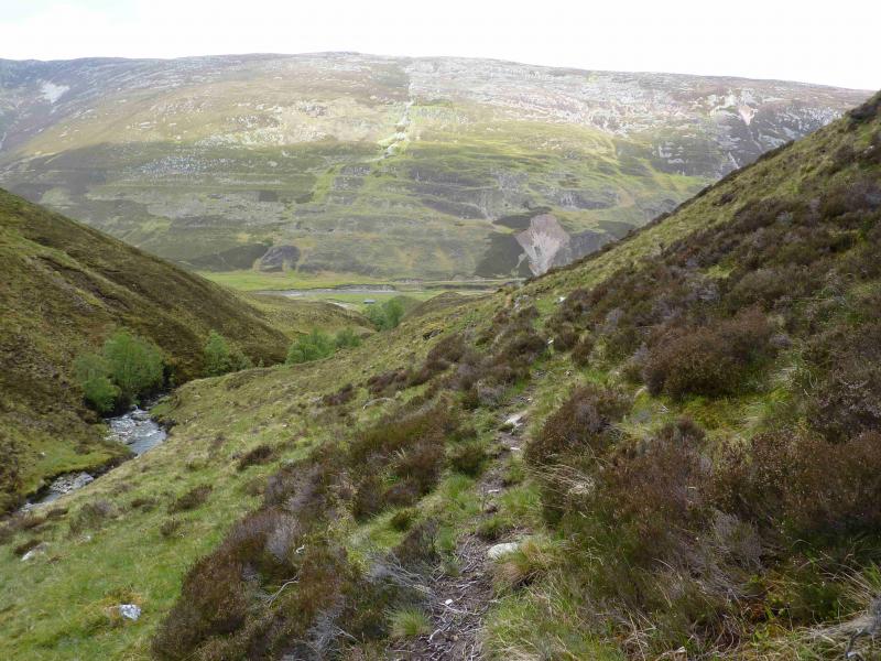
(3) Descend the long ridge of Beinn Iaruinn, passing several small lochans (not shown on OS 34) to reach the N Top, Pt 779, which has a small cairn. Continue down gentle slopes, heading roughly NE for the Allt Dearg which holds some pleasant waterfalls. Eventually, it is best to be on the N side of the burn but there are several opportunities to cross although the gully is quite deep in places. Continue down, gradually turning E then SE and follow the Allt Dearg down to the road, passing through a pleasant small plantation at the bottom. Walk back along the road to the start.
Notes
(a) This walk took place on 17th May, 2015.
Photos - Hover over photo for caption. Click on to enlarge. Click on again to reduce.

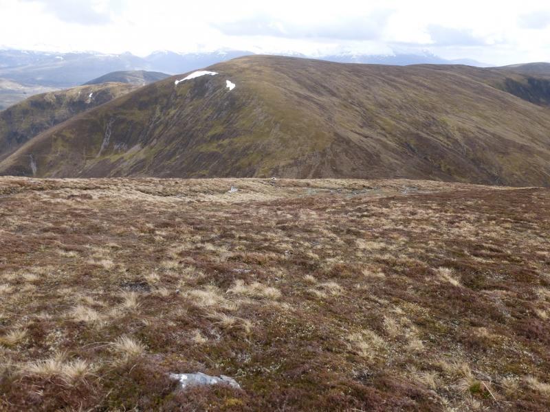

 from Carn Dearg W flank.jpg)
 & Beinn Iaruinn from Carn Dearg W flank.jpg)
 summit with Beinn Iariunn behind.jpg)