Get Lost Mountaineering
You are here: Scotland » 03 North-west Argyll, Appin and Glencoe » Ballachulish & Connel to Loch Etive
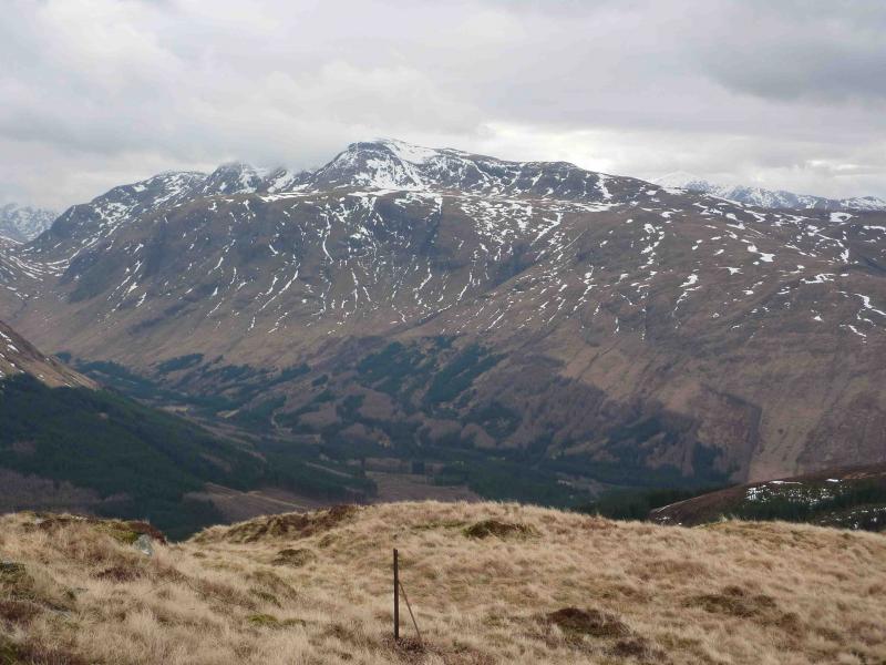
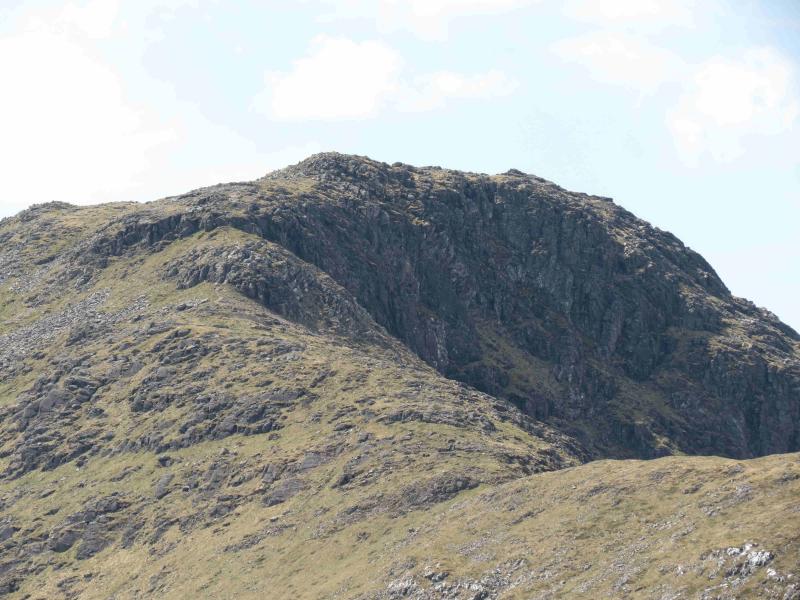
Beinn Fhionnlaidh from Glen Etive
Beinn Fhionnlaidh from Glen Etive
Start/Finish
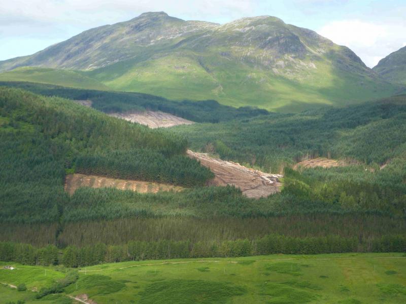
Invercharnan in Glen Etive which is about 9 miles down the Glen Etive road from the A82 near the Kingshouse Hotel. There is no parking at Invercharnan itself but very limited parking at the bridge just before where the road turns left. Operations to harvest the Glen Etive forest had started by May, 2012, and a new forest track starts after the bridge.
Distance/Time
15 km About 6 hours
Peaks
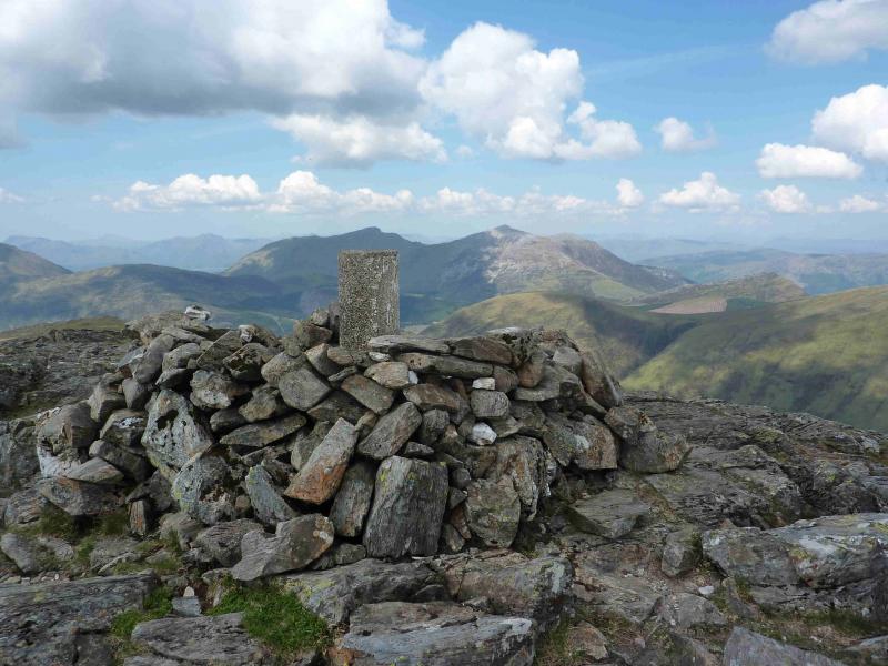
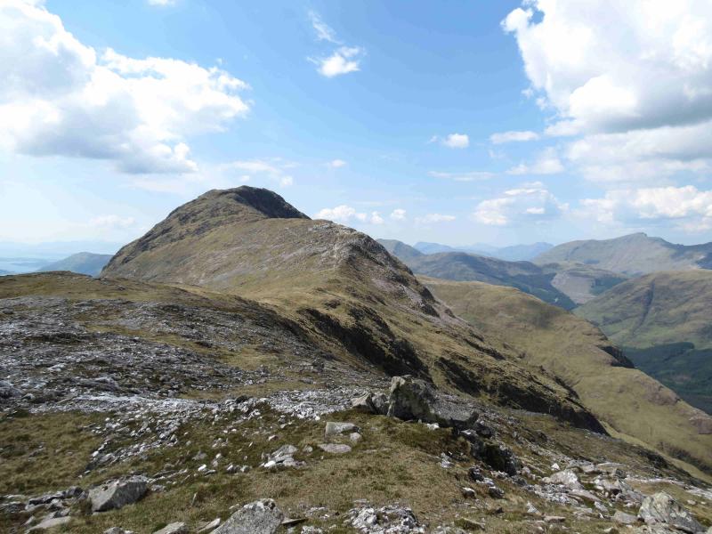
Beinn Fhionnlaidh, 959 m, NN 095 498.
OS Sheets 41 and 50 although virtually all of the walk is on OS 50 but right on the edge of the map.
Introduction
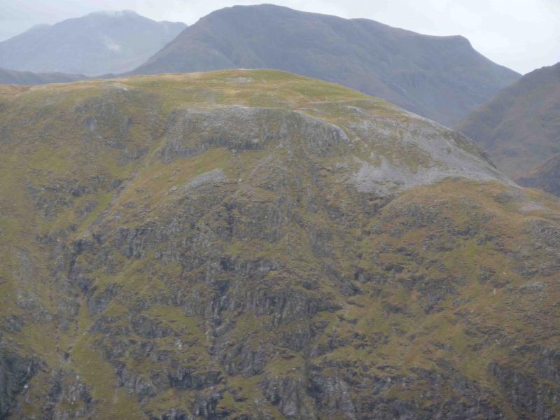
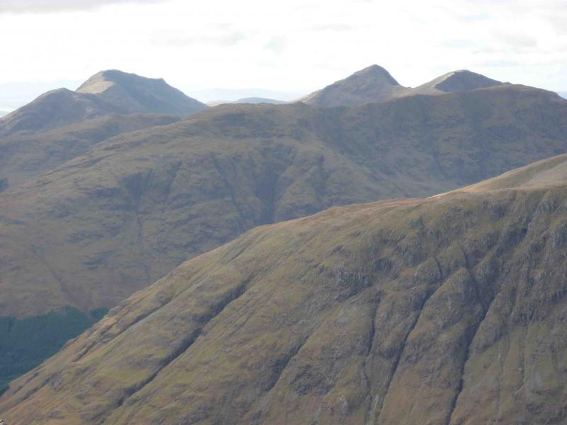
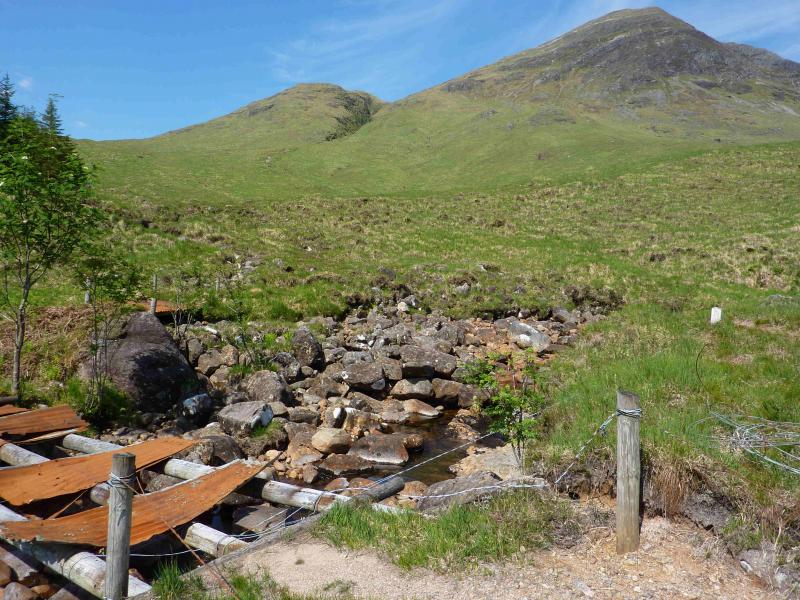
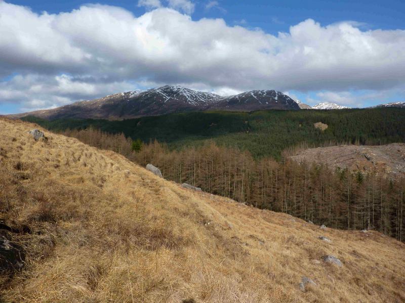
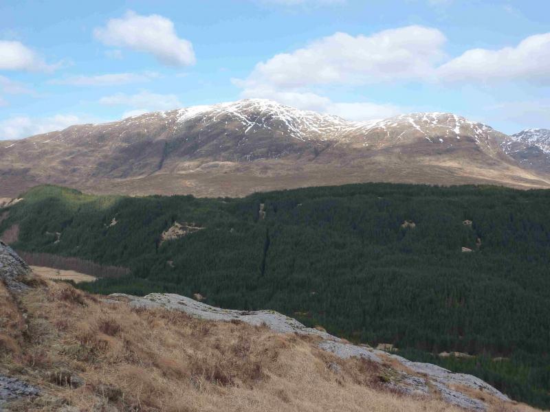
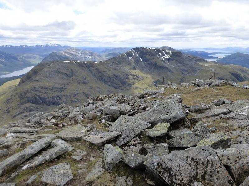
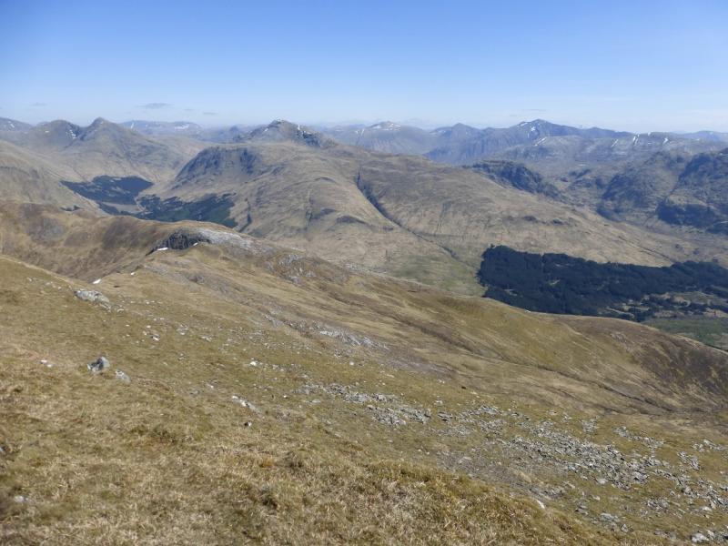
Beinn Fhionnlaidh is a hard to get at Munro but the shortest approach is from Glen Etive where a good track takes one about halfway and a distinct path goes the rest of the way. There are outstanding views in all directions but especially of Beinn Sgulaird, Sgor na h-Ulaidh, Ben Starav, Beinn Trilleachan and Stob Coir'an Albannaich. Even the reclusive Meall nan Eun is visible. The harvesting operations mean that the route need no longer pass through the Invercharnan grounds but walkers will need to be aware that much work is going on and heavy machinery is involved. In May, 2012, there were, however, no access restrictions. New roads are being built to take the timber to the jetty at the head of Loch Etive and the first part of the old grassy forestry track has now been widened. The remaining part had several fallen trees lying across it in May, 2012, but these could be circumvented or stepped over. Bear in mind that new tracks may be created since this route was written. There is a potentially difficult river crossing over the Allt nan Gaoirean. The old bridge was two logs with corrugated iron sheets but most of these are now missing. In spate conditions, this river will be uncrossable and there is no sensible detour upstream so, until the bridge is repaired (unlikely) this is a walk for a dry spell only.
Route
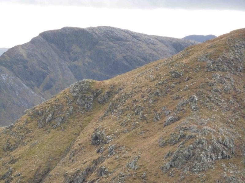
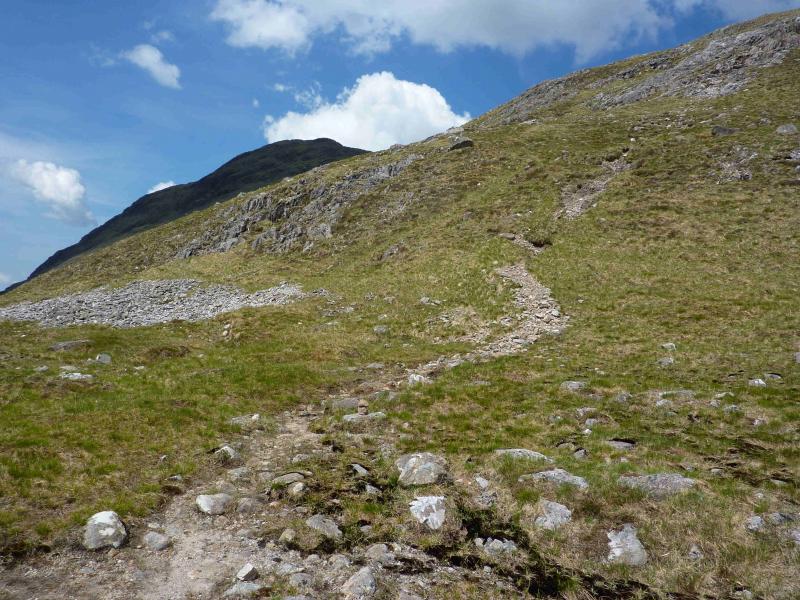
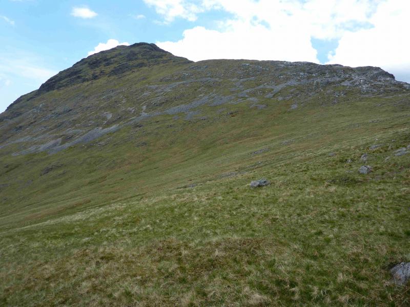
(1) From the bridge before Invercharnan, walk towards Loch Etive but where the road turns left, go straight ahead on to a new forestry track. Initially, this descends slightly but after this dip the track part of the route is all uphill. Continue on the track until the new track goes left and downhill. Leave the new track here and go straight on where one should join the old grassy forestry track. Follow this up through the forest, past several fallen trees across the track. After walking for about 40 minutes (from the start), the track goes around a sharp right hand bend. At this corner, a minor track carries on ahead. This corner was blocked by fallen trees on 28/5/12. Follow the minor track, boggy in places, to the edge of the forest where there is now no fence but the remains of an old stile. Turn left and follow the edge of the forest down to the Allt nan Gaoirean and the remains of its bridge. Pick a way across the river – easy in dry spell, almost impossible in spate, and follow the path on the other side up the side of the next burn which does not need to be crossed. Continue to the “bealach” between Meall Nan Gobhar and Beinn Fhionnlaidh's East Top. The path swings towards the north to climb the East Top but after a while, another path forks off left towards the bealach between Beinn Fhionnlaidh and its East Top. This path is distinct at first but has some faint sections but it does avoid climbing and descending the East Top. If the East Top is climbed, it has a small cairn and some old fence posts but these are of little navigational use. Once the bealach between Beinn Fhionnlaidh and its East Topo is reached, ascend the easy well defined ridge. Not far below the summit are two short and easy rock steps. An avoiding path forks left if needed. Continue to the trig point in a shelter cairn which marks the summit of Beinn Fhionnlaidh, 959 m.
(2) Return the same way.
Notes
(a) This walk took place on 3rd June, 1999, and 28th May, 2012.
(b) If weather conditions prevent an ascent from Glen Etive, the only feasible alternative is up the long WSW ridge of Beinn Fhionnlaidh. This route would start at Glenure, at NN 044 480, which is reached from the Glen Creran road which leaves the A828 Fort William to Oban road at the loch Creran bridge. Beinn Fhionnlaidh was ascended by this route on 5/8/94.
Photos - Hover over photo for caption. Click on to enlarge. Click on again to reduce.