Get Lost Mountaineering
You are here: Scotland » 01 South of Oban to Stirling and Fife » Ben Lui Range to Crianlarich
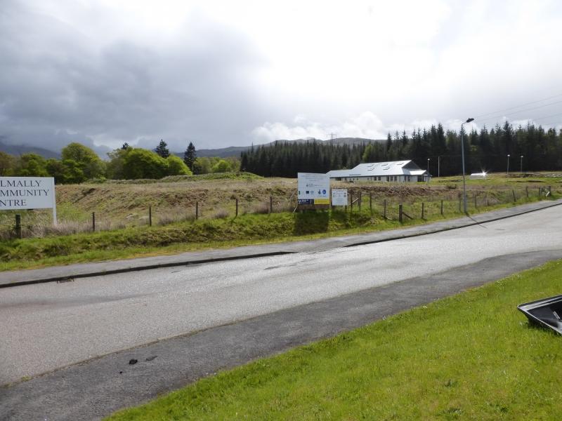
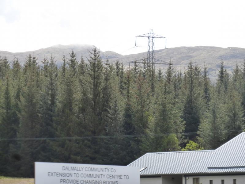
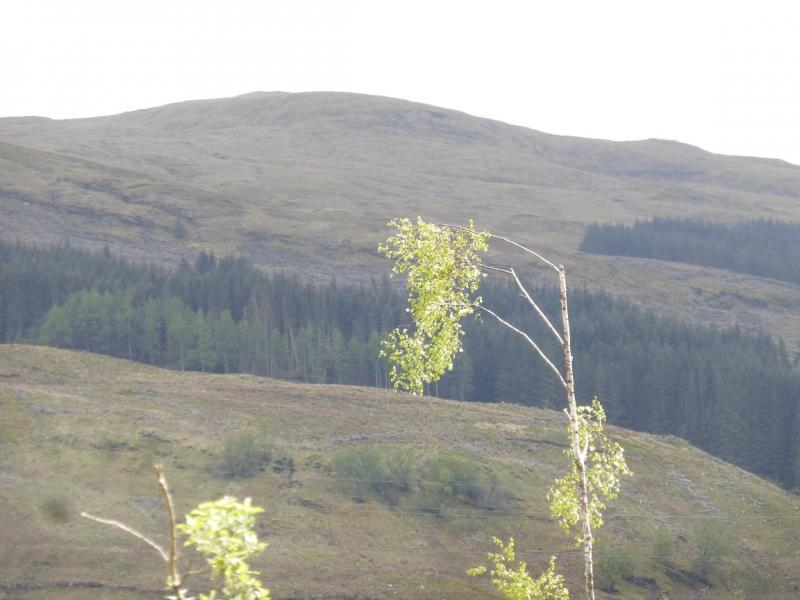
Beinn Bhalgairean from Dalmally Community Centre
Beinn Bhalgairean from Dalmally Community Centre
Start/Finish
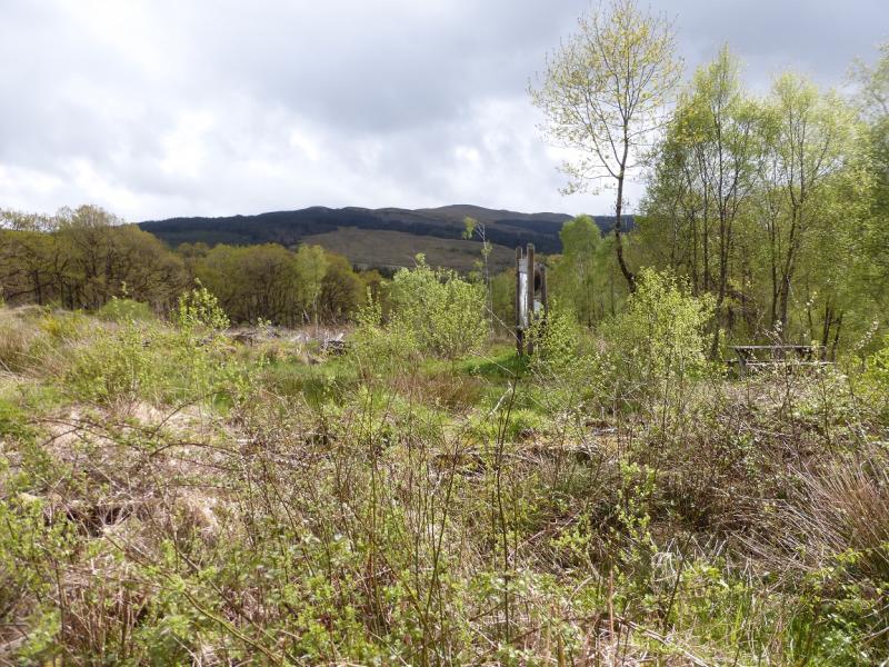
Dalmally Community Centre on the A85 Tyndrum to Dalmally road at the eastern end of Dalmally. There is also a Health Centre here so please do not park inconsiderately.
Distance/Time
11 km About 4 hours.
Peaks
Beinn Bhalgairean, 636 m, NN 202 241. OS sheet 50.
Introduction
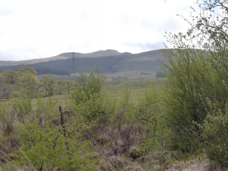
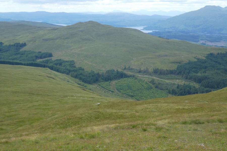
This is a straightforward ascent although the ground can be very wet and boggy in places. Beinn Bhalgairean is well “protected” by forestry on the A85 side but the route below avoids the forestry altogether. Most people will ascend and return by the same route but it is possible to make some of the walk circular and this is the route described. In clear weather, there will be views to Beinn Bhuidhe, Beinn a' Chleibh, Ben Lui, Beinn Eunaich, Stob Diamh and many more.
Route
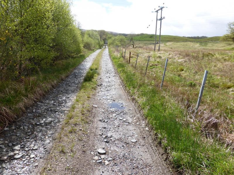
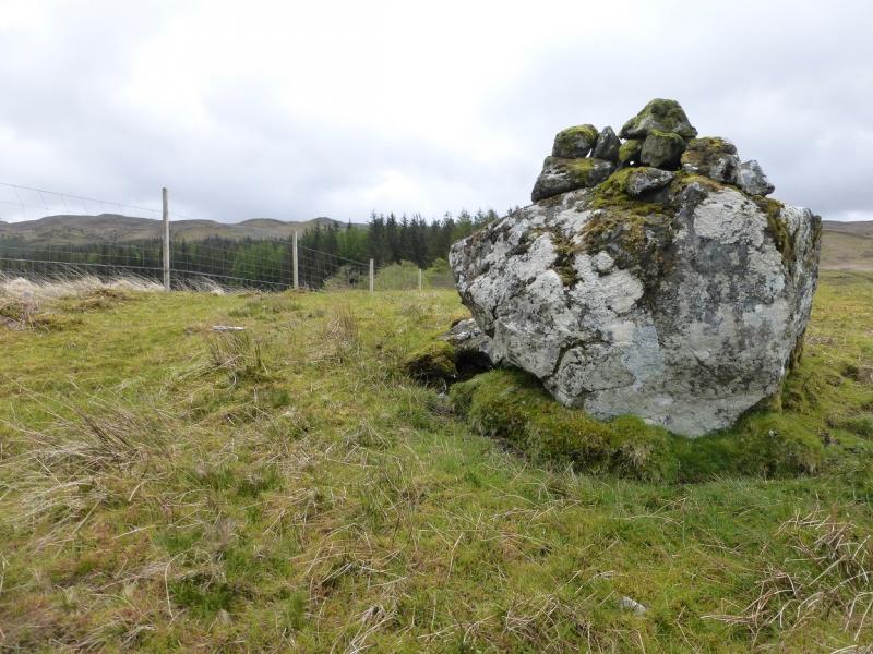
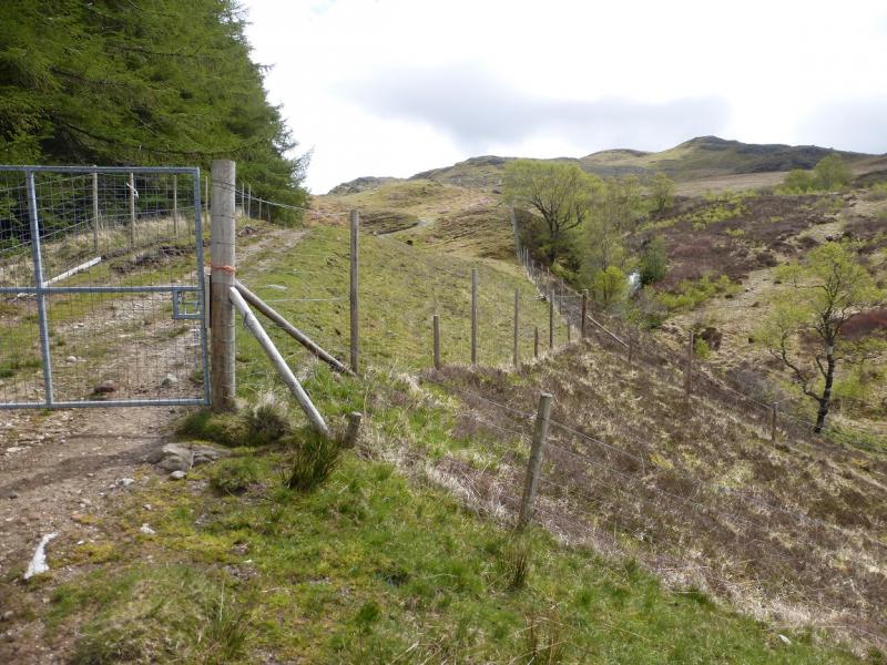
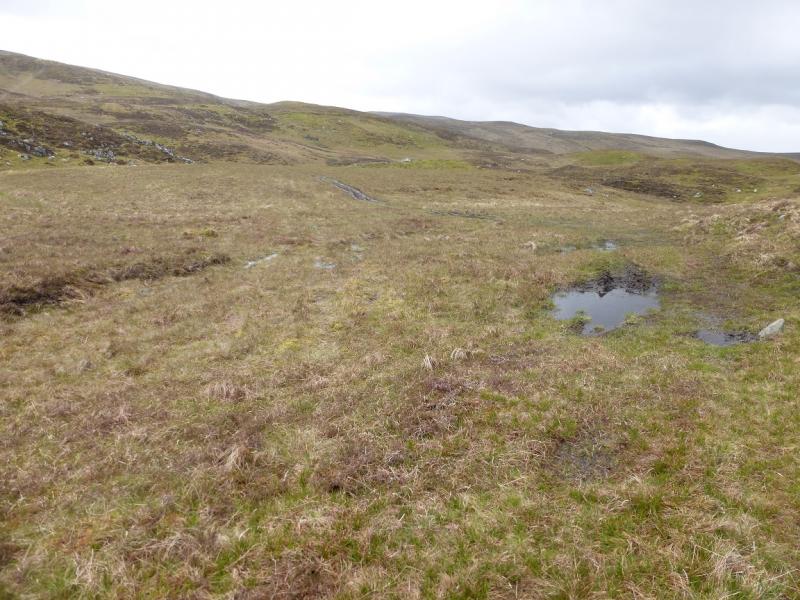
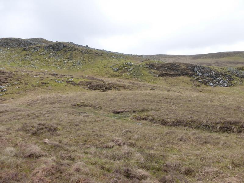
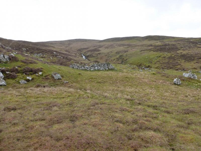
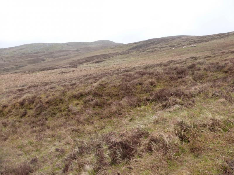
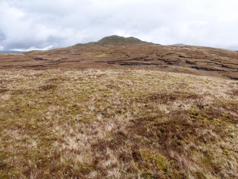
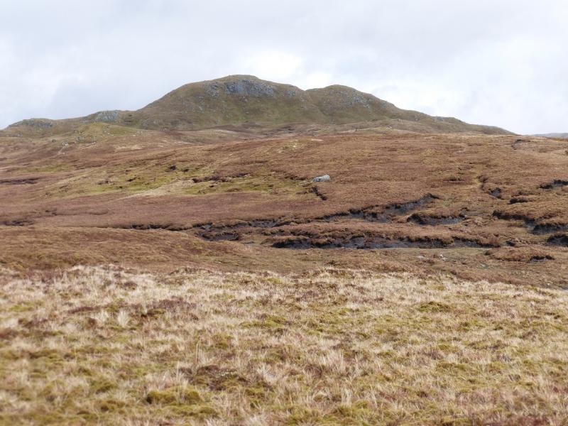
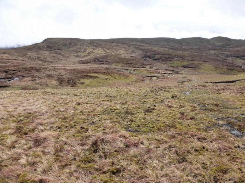
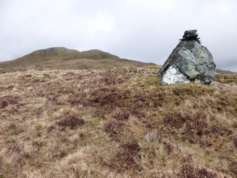
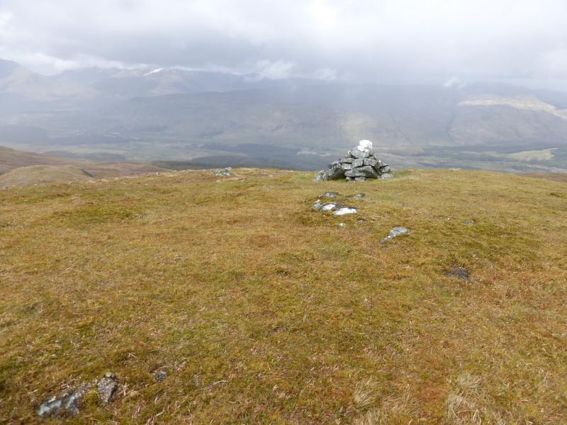
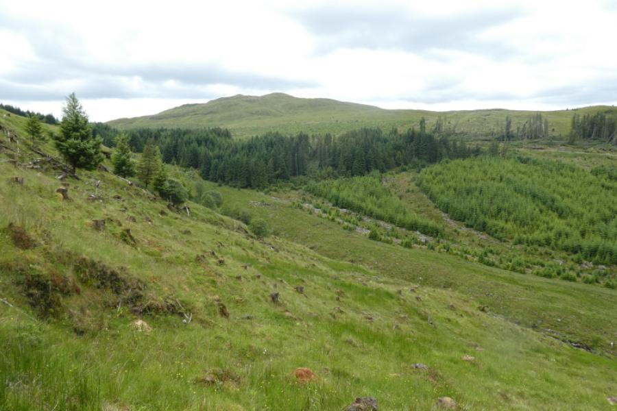
(1) Walk back along the road towards Tyndrum. Go past the council gritting depot, on the right, then the next turning right is the track to Brackley. Walk up this to the old house at the end and continue past it on the track through the yard. Almost immediately cross the railway by a bridge and continue on the track. Very soon after, a boggy track cuts back left. Ignore this and go about another 50 m. Just after a very small stream on the left, go left up a bank. Continue and soon find a good track heading up. Follow this easily but there are sections which are very wet, especially when it crosses a mossy, wet flat meadow. The forestry should now be obvious to the left. The track drifts left towards a corner of the forest where there is a gate. Go through this and continue up. The track gradually deteriorates as it climbs and drifts right, away from the forest. It passes below the bottom of a ridge which could be used as a quicker ascent if wished. Stay on the track which then passes a small ruin before drifting left to shadow a stream up a shallow valley. Continue up, still on the track, to a small flat top between Beinn Bhoidheach and Beinn Bhalgairean whose profile is well seen from here. Leave the track when it starts to descend and head NW across easy ground with a small peaty area to cross. Off to the right, a boulder may be be spotted with a cairn on top. Continue, aiming for the SE (right) ridge of Beinn Bhalgairean and follow it up, over some minor tops, to the grassy summit where the cairn is, obviously, about 3 m off the highest point. This is Beinn Bhalgairean, 636 m.
(2) Descend NW down the undulating ridge to rejoin the outward track by the forest or walk down easy slopes on the N side of this ridge to avoid any reascending. Once back on the track, retrace to the start.
Notes
(a) This walk took place on 24th May, 2015.
Photos - Hover over photo for caption. Click on to enlarge. Click on again to reduce.