Get Lost Mountaineering
You are here: Scotland » 02 River Tay to Rannoch Moor » Glen Lochay Hills
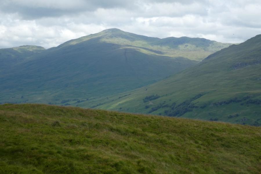
Beinn nan Oighreag & Meall Ghaordaidh from Glen Lochay
Beinn nan Oighreag & Meall Ghaordaidh from Glen Lochay
Start/Finish
Drive up Glen Lochay from Killin taking either road. Both roads meet by the power station. A few hundred metres further there is a tarmac road on the right with limited verge parking close by. Opposite is a meadow which often has people wild camping on it.
Distance/Time
17 km About 7 – 8 hours
Peaks
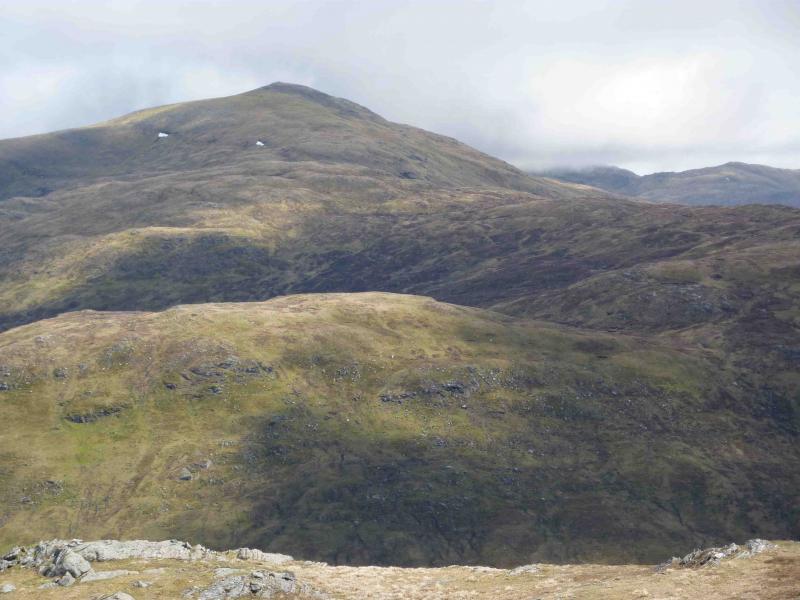
Beinn nan Oighreag, 909 m, NN 542 412.
Meall Ghaordaidh, 1039 m, NN 514 397. OS Sheet 51.
Introduction
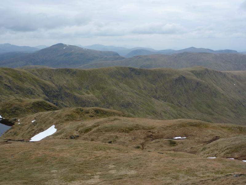
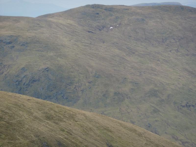
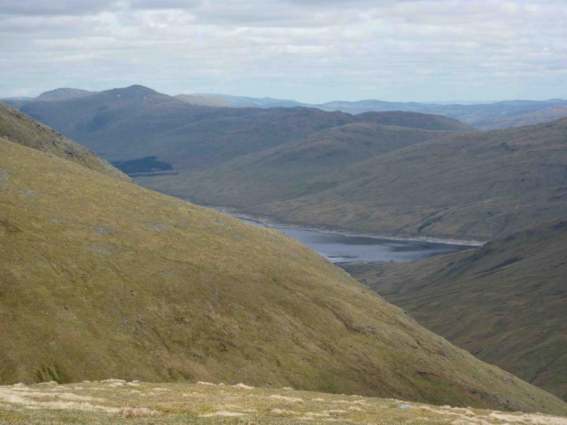
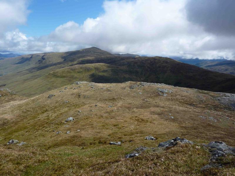
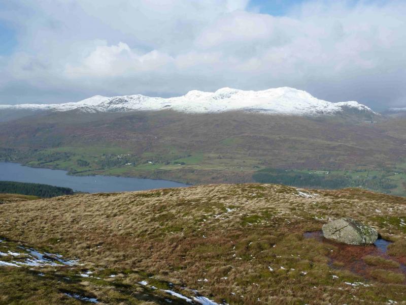
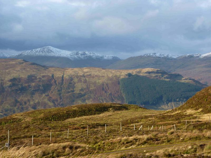
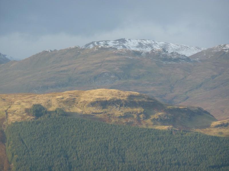
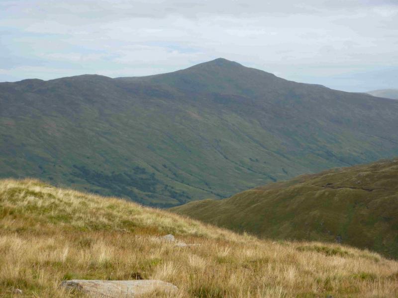
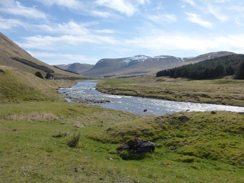
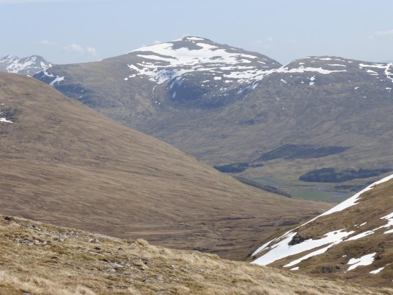
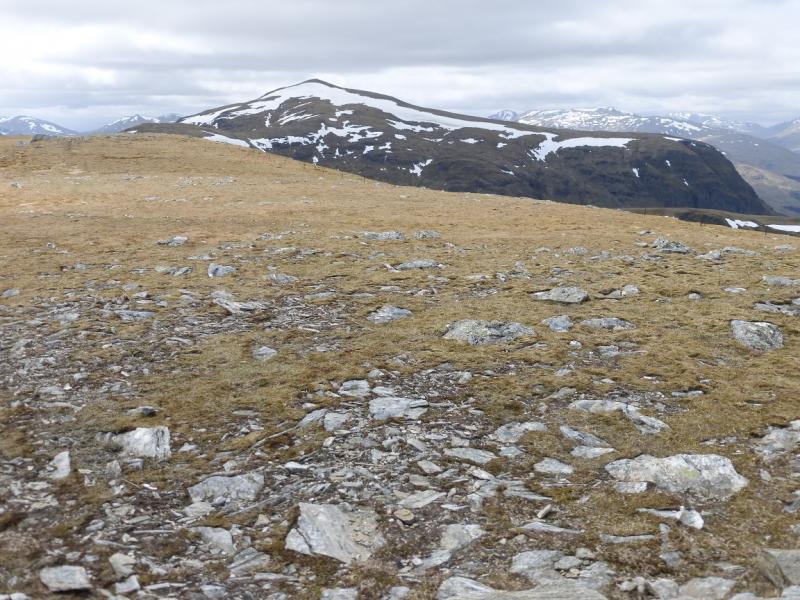
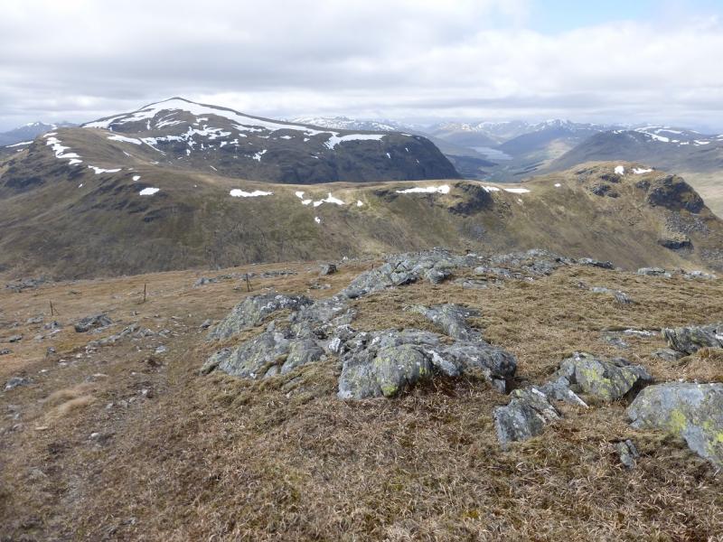
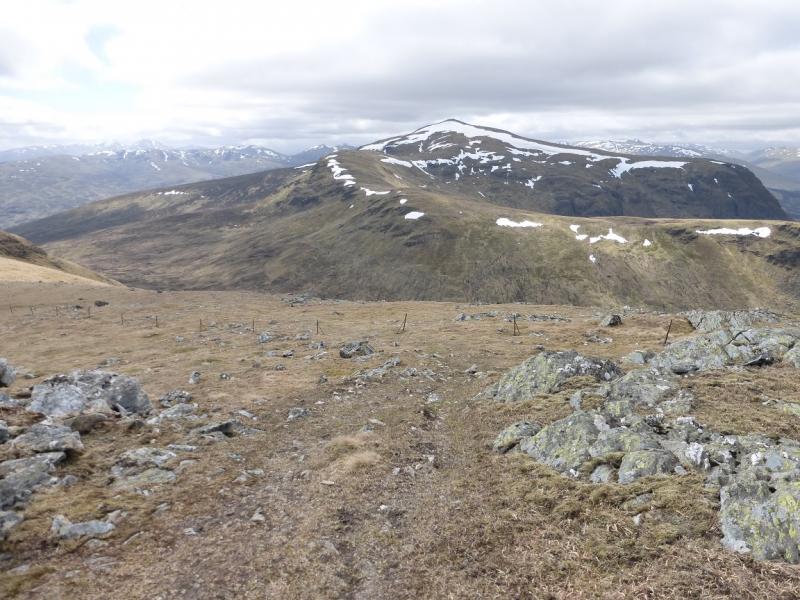
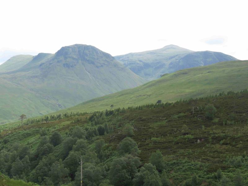
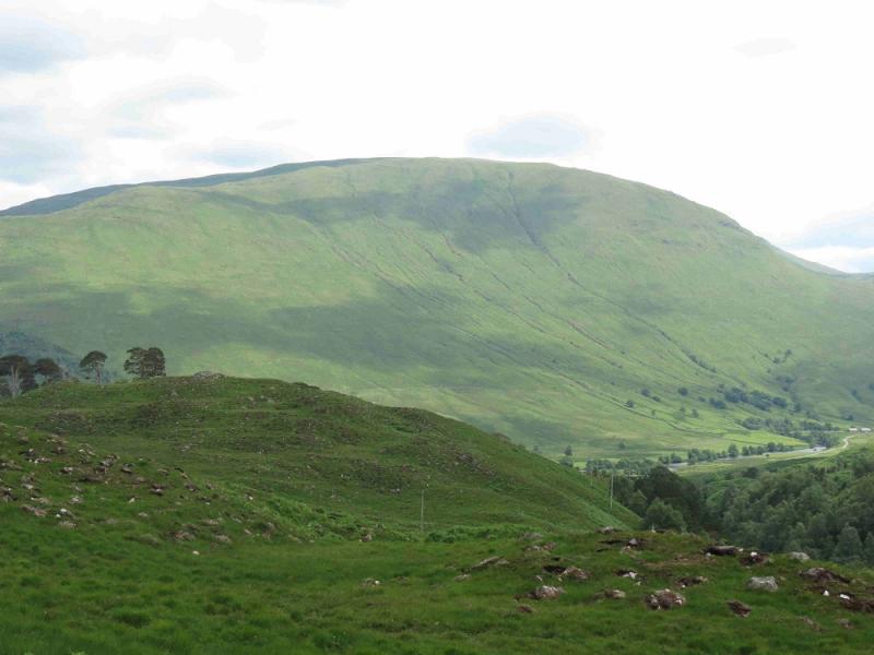
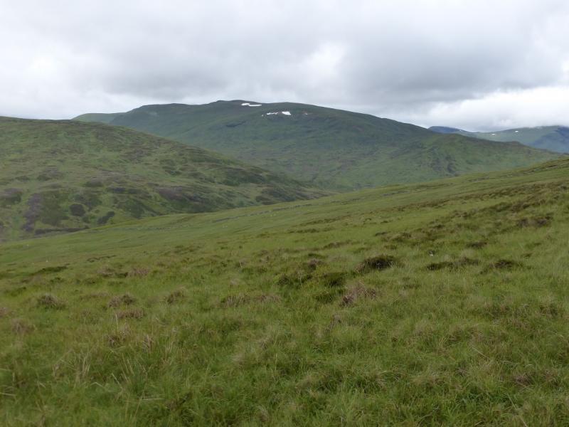
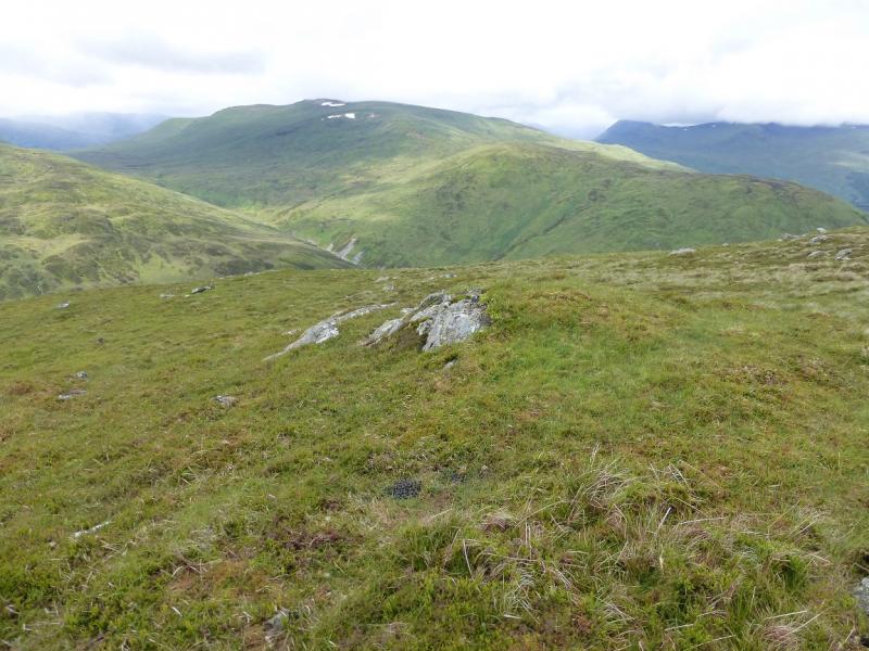
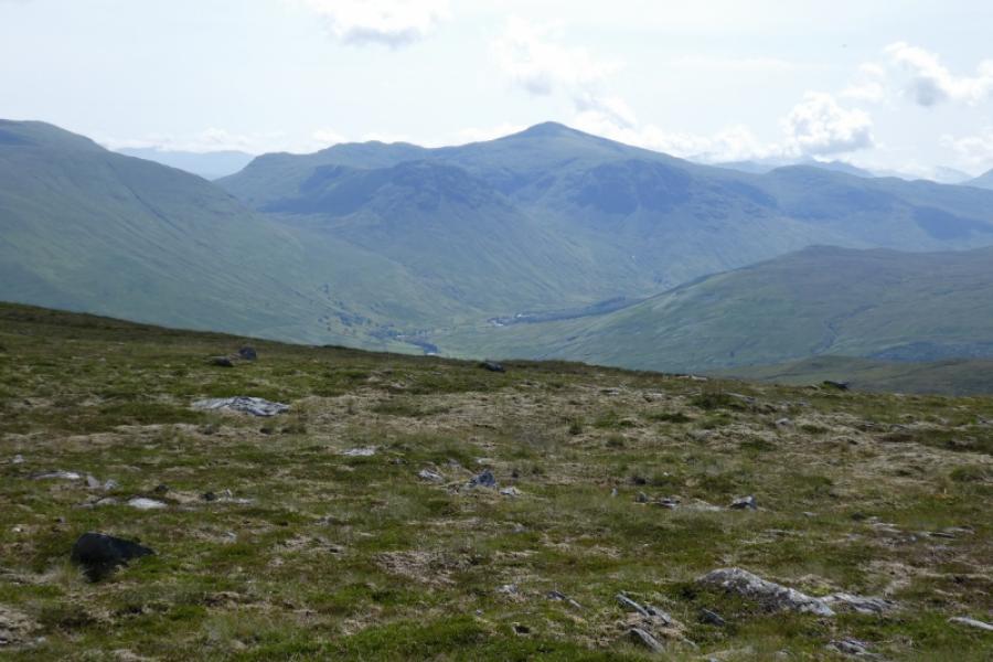
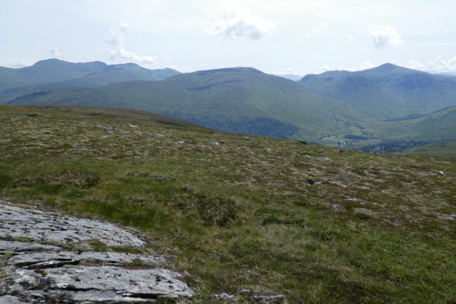
This is a tough walk with a lot of pathless terrain and some steep slopes but the views are good as one is essentially behind the Tarmachan range. Ben Lawers is well seen as are Stuchd an Lochain, Beinn Heasgarnich, Creag Mhor and the other Glen Lochay hills. There are some river crossings which will be awkward in wet weather.
Route
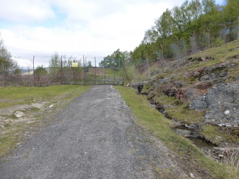
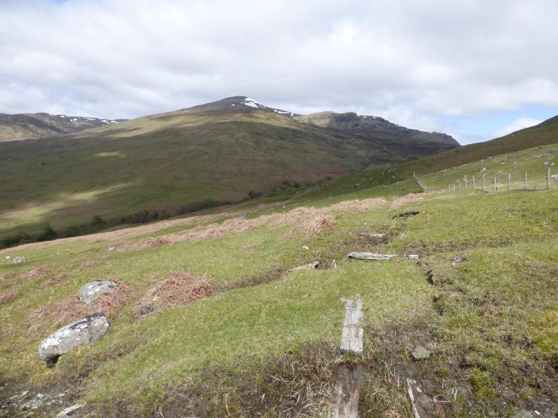
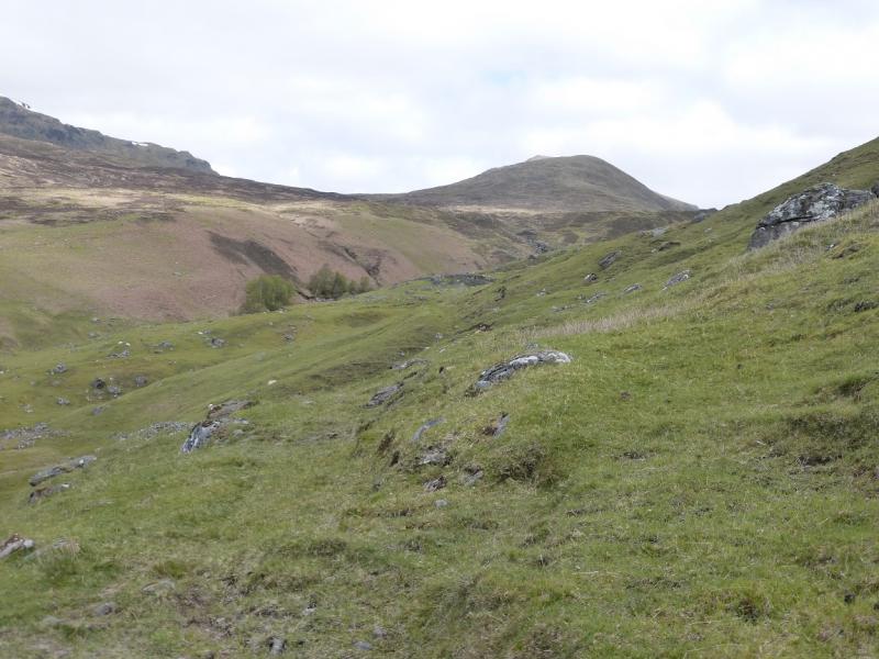
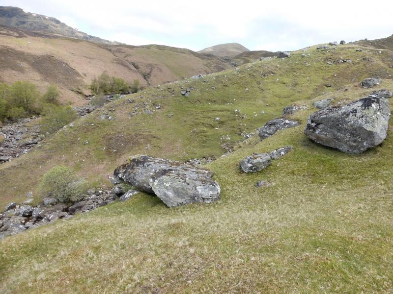
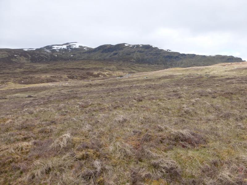
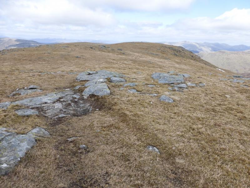
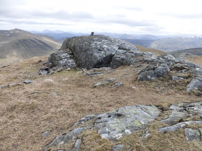
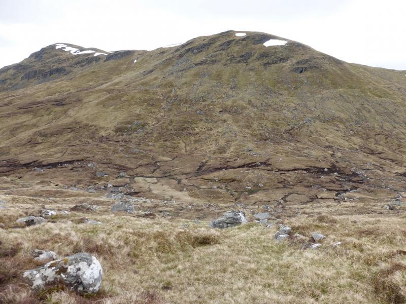
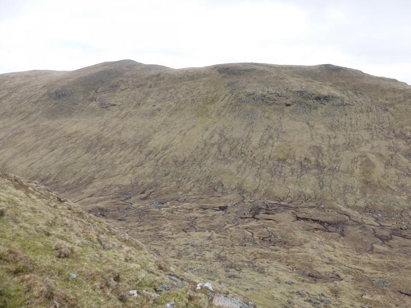
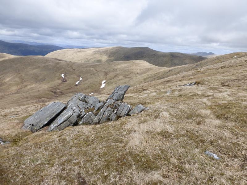
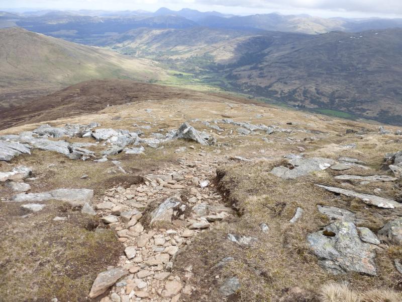
(1) Walk up the zig-zagging tarmac road to its end by a fenced off compound. Walk around this on its right hand side then contour around the hillside. The path shown on the map is not that easy to find but the grounsd is easy to walk anyway. The path follows a wall later on and then becomes more obvious. The usual mistake here is to be too high on the hill side. Follow the path to where it seems to end by some walled enclosures above the river. From here, the route will depend on the state of the river and its tributaries. Cross as low as possible then head up the broad S ridge of Beinn nan Oighreag on fairly easy ground. Higher up a path appears then a line of fence posts. The top is a long broad ridge. There is a large cairn about halfway along but well before it there is a small cairn on an outcrop to the right of the path. One of these is the summit of Beinn nan Oighreag, 909 m. Both should be visited to be sure but, observations on the ground suggest, the small cairn could be the higher one.
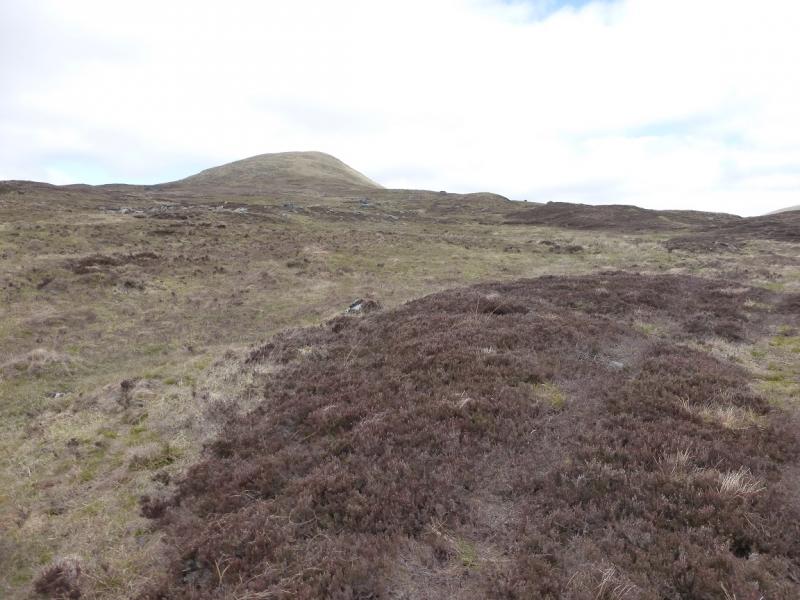
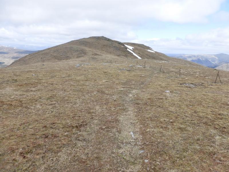
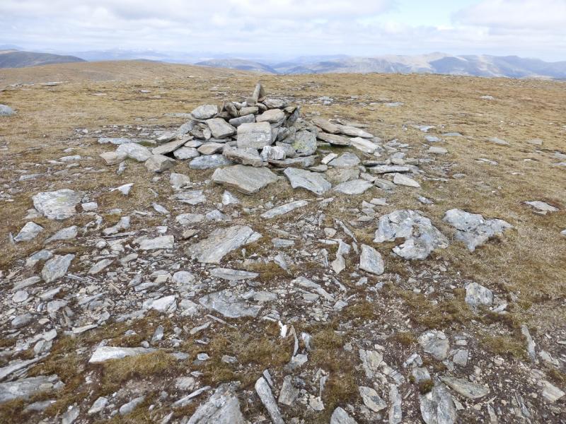
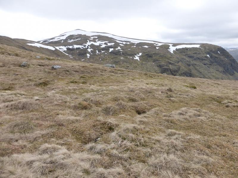
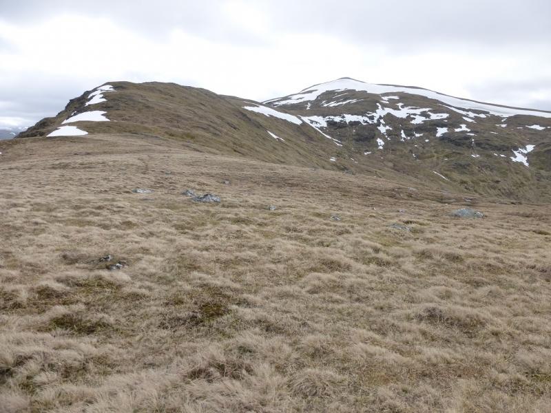
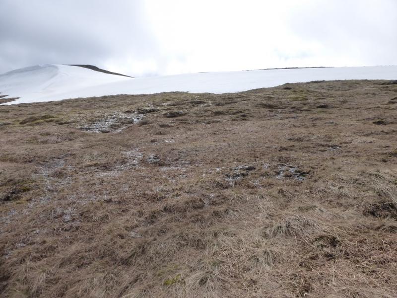
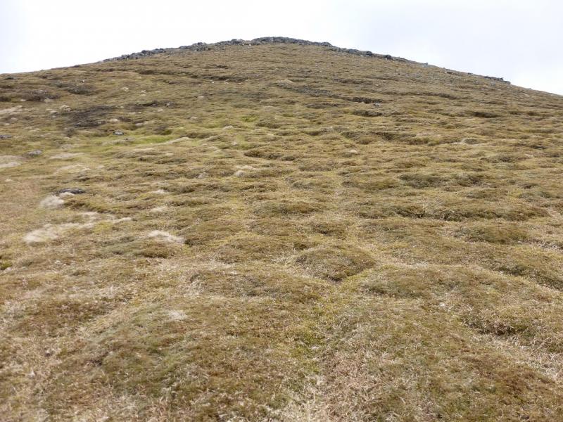
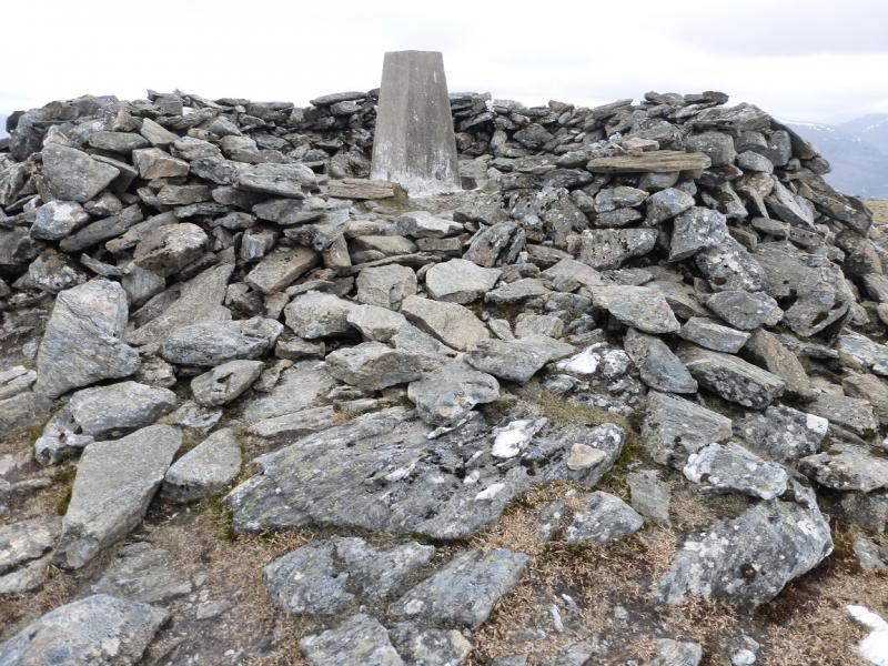
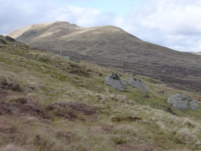
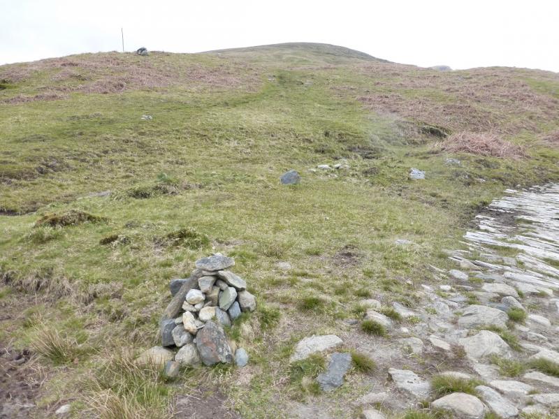
(2) Retrace along the fence posts and follow them down, W, into the bealach before Meall Ghaordaidh. At one point, the fence posts go through some broken crags which can easily outflanked to the S. From the bealach, the fence posts climbs steeply to reach a crest where they stop abruptly. Follow the crest SW. A path soon appears and leads over Pt 890 which can be traversed on its N side if wished. From the top, go NW to a shallow dip then W to gain the N ridge of Meall Ghaordaidh and follow it to the trig point in a shelter cairn which is the summit of Meall Ghaordaidh, 1039 m. Alternatively from the shallow dip, follow the edge of the corrie up to the summit.
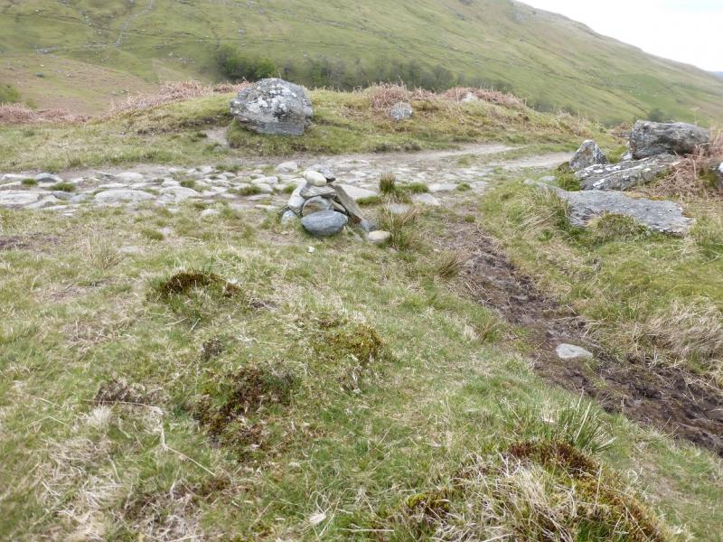
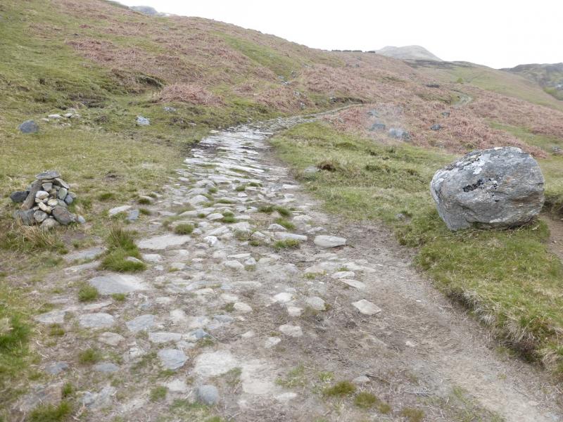
(3) Descend SE. A path soon becomes obvious. Follow it down. It is wet and boggy in places. After along descent, reach a track by a cairn. Follow the track down to the road at Duncroisk in Glen Lochay then walk downhill back to the start.
Notes
(a) This walk took place on 26th May, 2015.
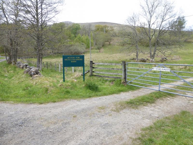
(b) A slightly shorter route starts at Duncroisk where parking is very limited. This is the normal start for Meall Ghaordaidh. Walk up the track for Meall Ghaordaidh but continue past the cairn for the path up the Munro and follow it to is end then walk up the S ridge of Beinn nan Oighreag. This saves about 4 km of walking and about an hour.
Photos - Hover over photo for caption. Click on to enlarge. Click on again to reduce.