Get Lost Mountaineering
You are here: Scotland » 14 Loch Maree to Loch Broom and Garve » Letterewe & Fisherfield to Little Loch Broom
Mullach Coire Mhic Fhearchair via Sgurr Dubh & Beinn Tarsuinn from A832, 4 miles SW of Braemore Junction
Mullach Coire Mhic Fhearchair via Sgurr Dubh & Beinn Tarsuinn
from A832, 4 miles SW of Braemore Junction
Start/Finish
Rough gravel verge parking at NH 162 761, on the A832 road (to Gairloch) from Braemore Junction (leaves A 835 Ullapool to Inverness road about 12 miles south of Ullapool). This is about 4 miles from Braemore Junction. If staying at Dingwall, it is about 37 miles to the start of the walk.
Distance/Time
30 km. About 10 - 12 hours.
Peaks
Sgurr Dubh, 918 m, NH 061 729.
Mullach Coire Mhic Fhearchair East Top, 981 m, NH 056 734.
Mullach Coire Mhic Fhearchair, 1018 m, NH 052 735.
Beinn Tarsuinn, 937 m, NH 039 728. OS sheets 19 & 20.
Introduction
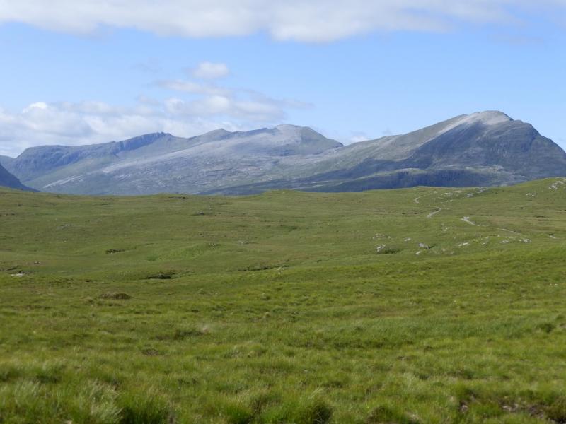
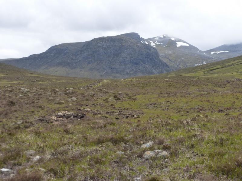
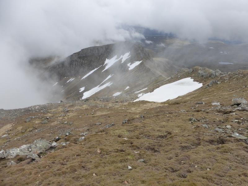
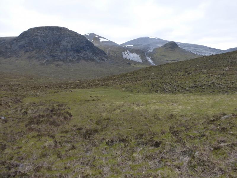
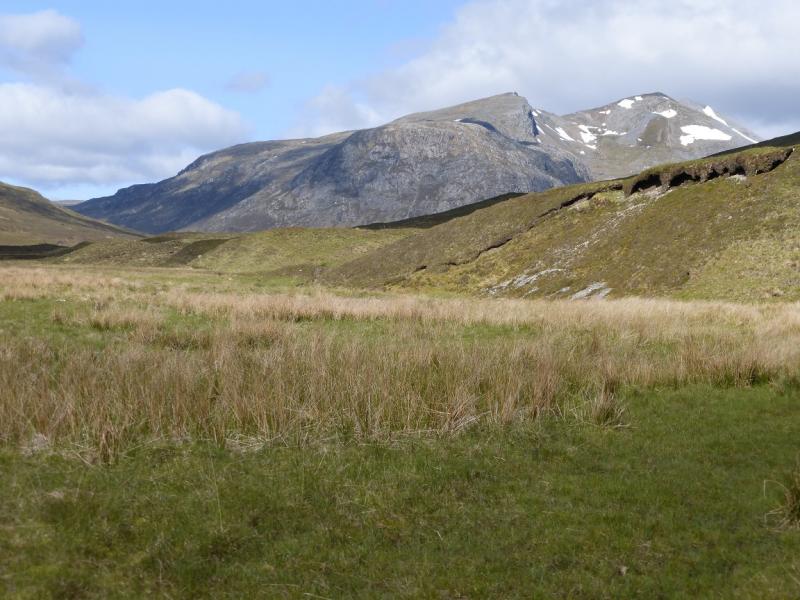
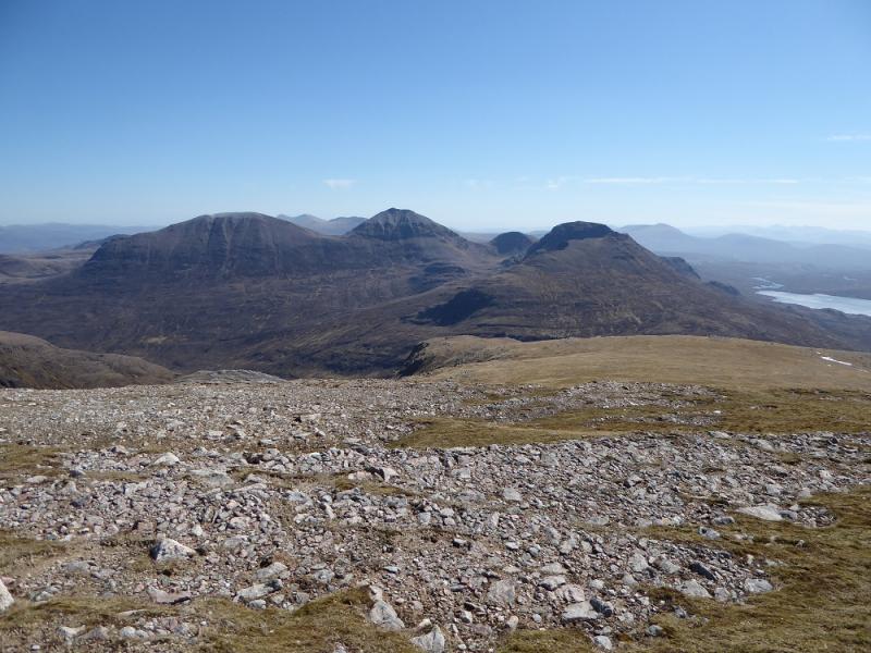
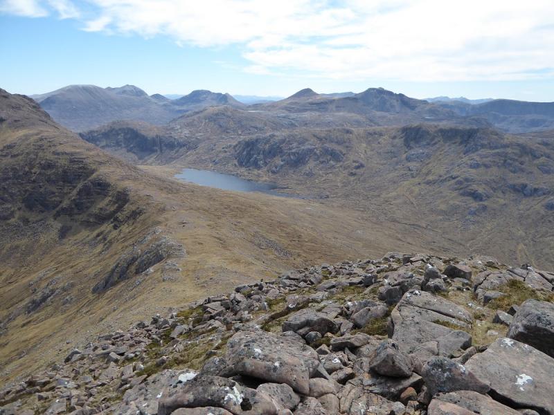
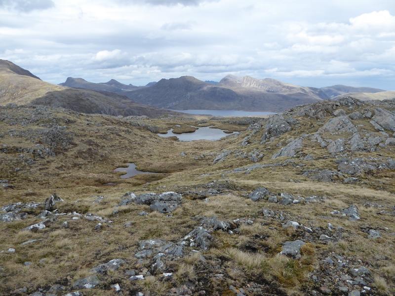
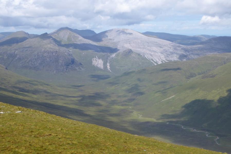
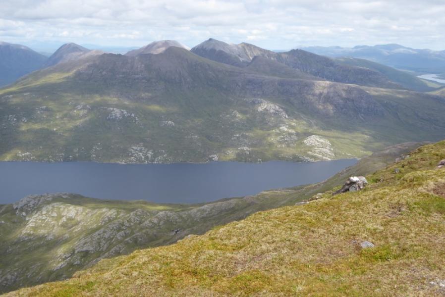
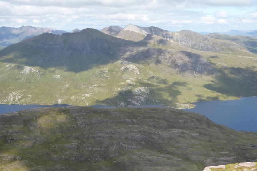
These mountains lie in the Fisherfield Forest (no trees these days!) and are difficult to get at with very long approaches. This walk covers the middle section of what used to be called the “Fisherfield Six” as there were six Munros: Beinn a' Chlaimheimh, Sgurr Ban, Mullach Coire Mhic Fhearchair, Beinn Tarsuinn, A' Mhaighdean and Ruadh Stac Mor. Beinn a' Chlaimheimh has now been resurveyed and demoted to a Corbett but it is still a fine mountain. Many climb these mountains in a horseshoe – usually from a bothy called Shenaval. This is a fine circuit but it misses out two fine features: the east ridge of Mullach Coire Mhic Fhearchair to Sgurr Dubh and the north west ridge of A' Mhaighdean. These are well worth doing. Fisherfield is often described as the only remaining wilderness in the UK as it is so remote and difficult to access. Many routes involve river crossings which can be difficult or even impossible. The rivers rise very quickly so it is important to check the weather forecast to avoid being stranded! This route avoids the the most difficult river crossings but, even so, there would be some problems in a wet spell. On a clear day, the views are superb to the rest of Fisherfield but also to Slioch and An Teallach and further afield. The track from the A832 now goes along the north side of Loch a' Bhraoin to just beyond the end of the loch but it is rough in places with patches of deep gravel which is impossible to cycle through and streams filled with large rocks. Progress will be slow on a bike and there will be little time savedcompared to walking.
Route
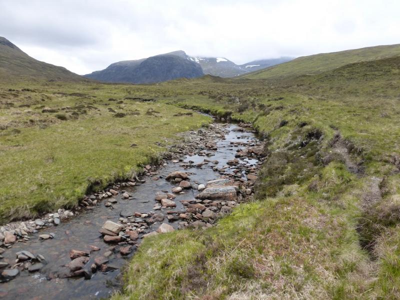
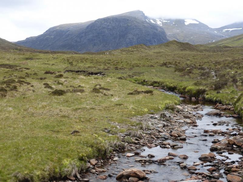
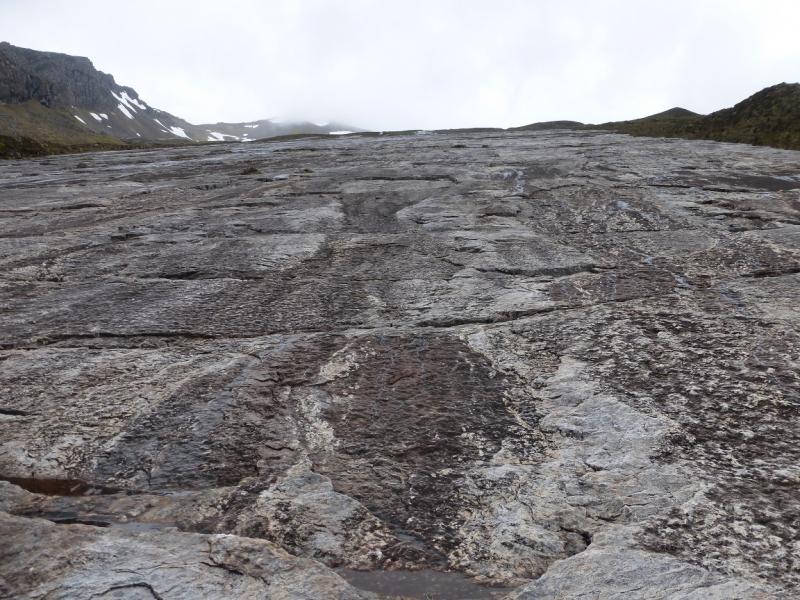
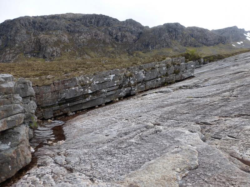
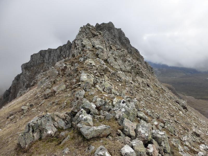
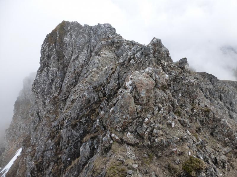
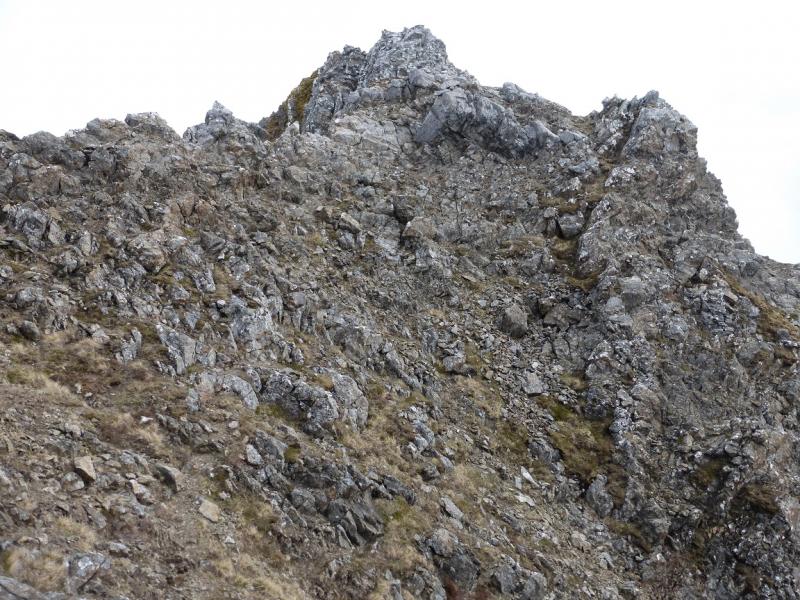
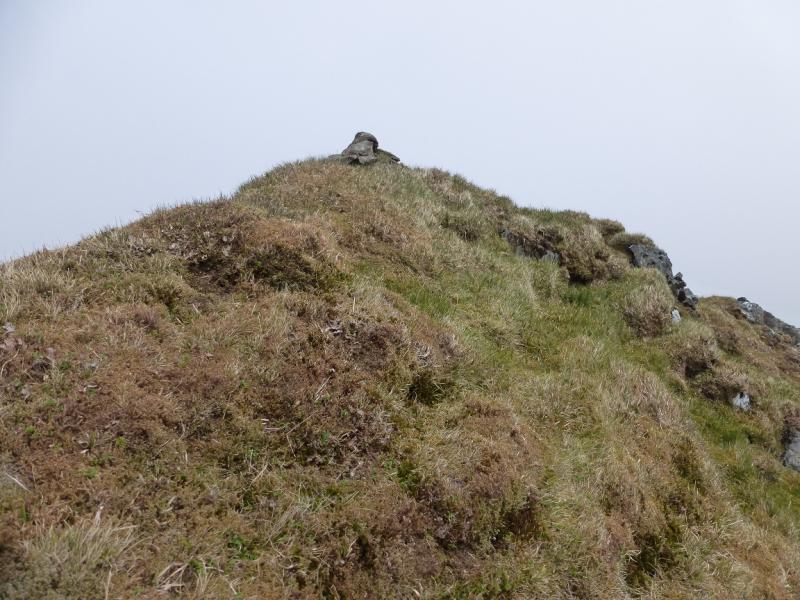
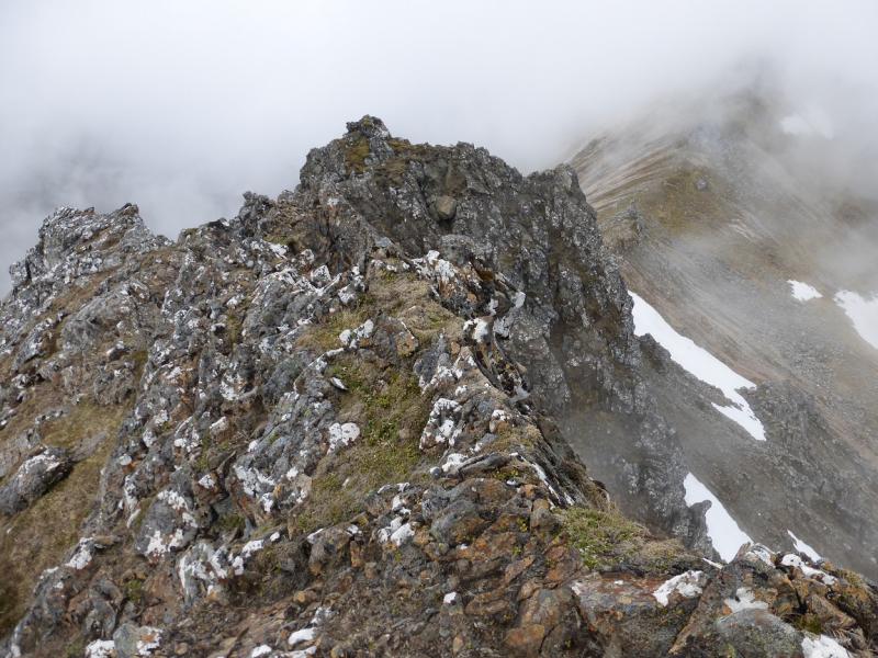
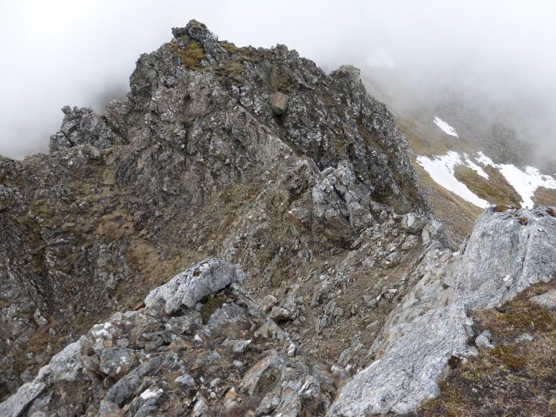
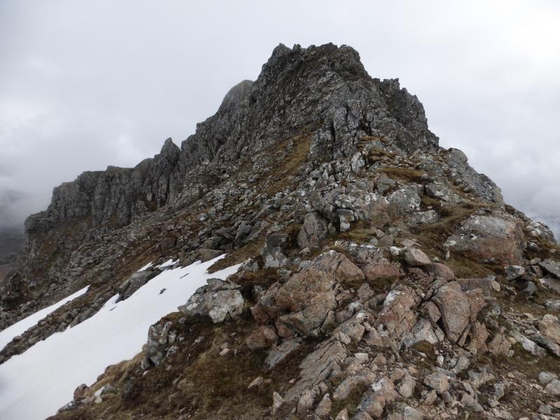
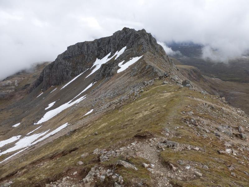
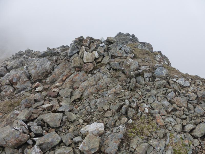
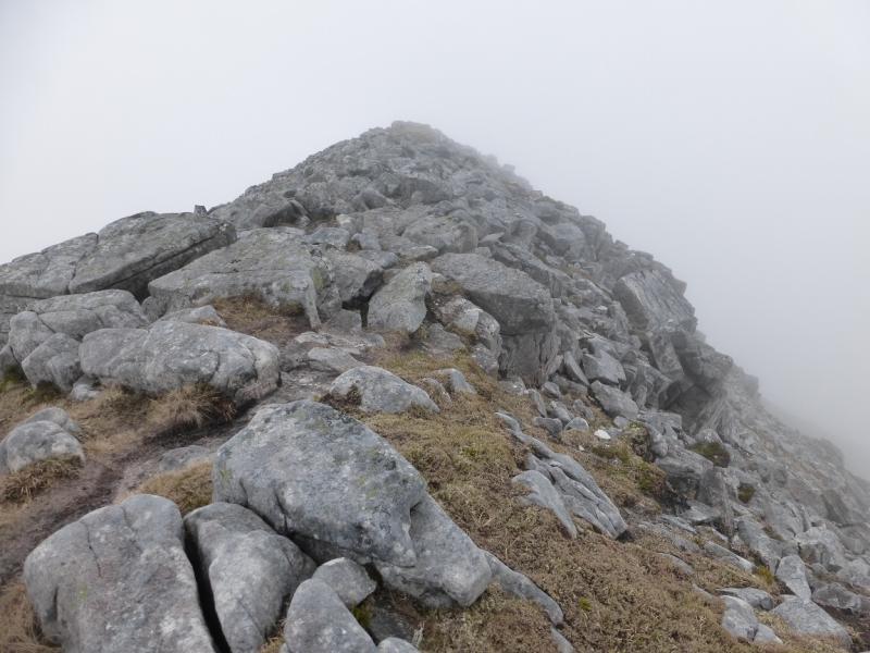
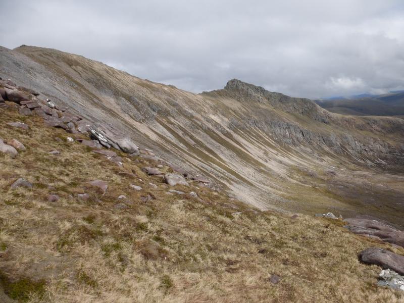
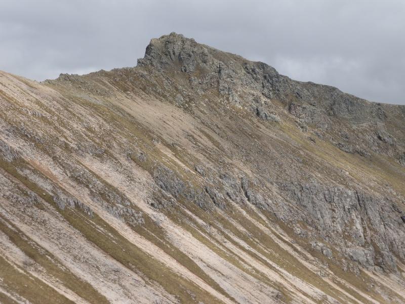
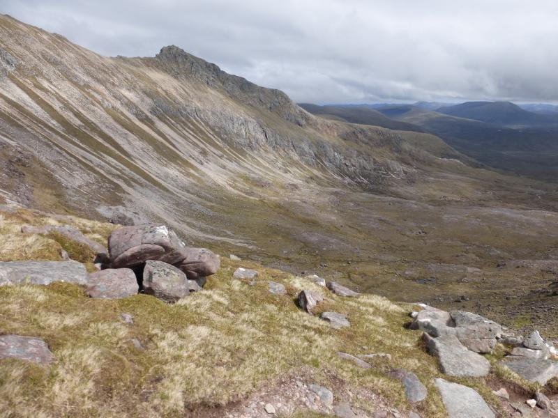
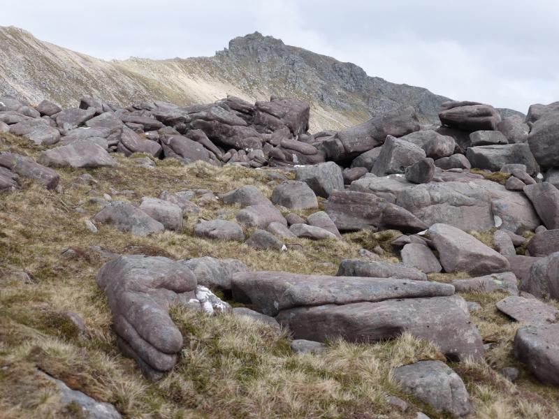
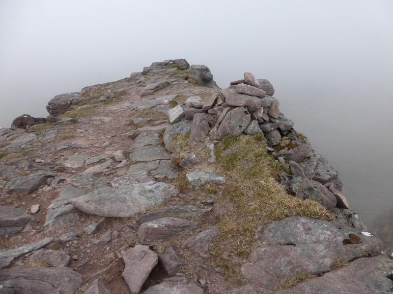
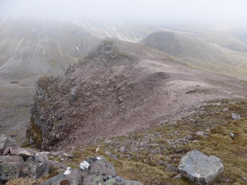
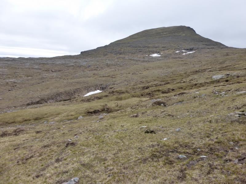
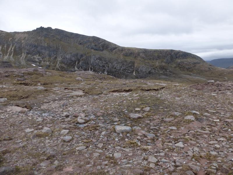
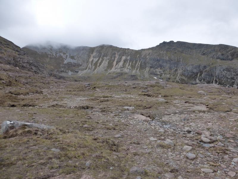
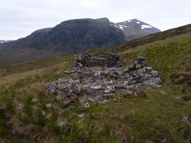
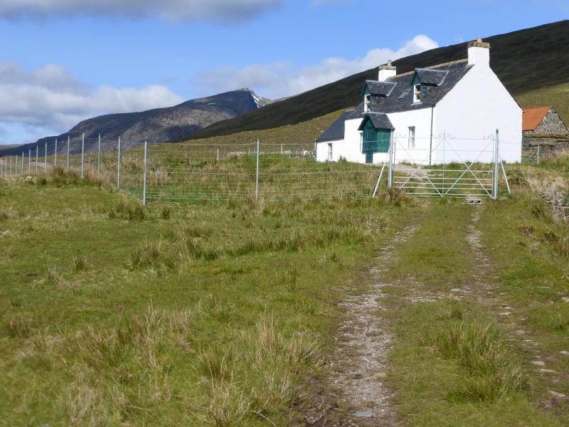
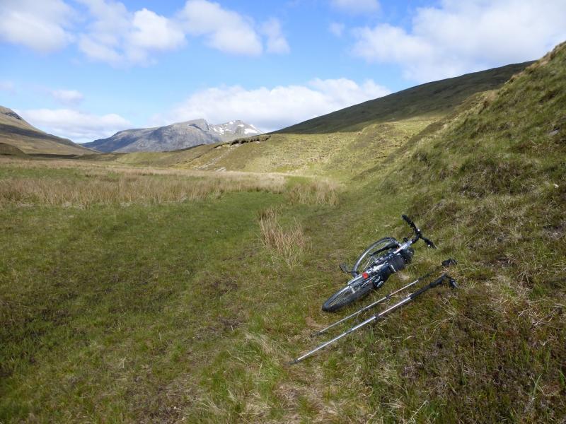
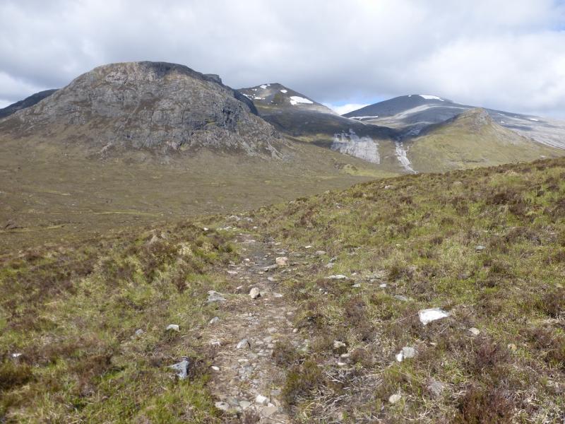
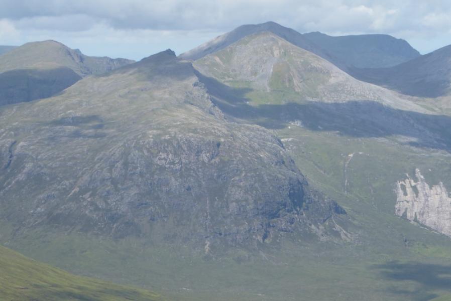
(1) Walk down the signed track to Loch a' Bhraoin where the old path/track has been diverted but the new one is better until it joins the old one by the loch side. Walk or cycle up the N side of the loch to the new house at Lochivraon which now, reportedly, has a bothy behind it and is equipped with a sink and toilet. If planning to use this, it would be wise to make local enquiries first with the Inverbroom Estate as the bothy may be locked at certain times of the year, especially August to October. It is possible to cycle about 1 km past Lochivraon to where the path/track becomes very grassy and often boggy. Leave bikes here. Continue on the path for about another 4 km, past two ruined buildings, to where the path swings N. When the path passes through a broken down wall, leave it and head roughly W to cross the river flowing towards Loch an Nid. Normally this crossing will be straightforward. It is the only potentially difficult river crossing which has to be undertaken on this walk. Once across, ascend rough ground to reach the foot of the large area of slabs. These are very easy angled and, when dry, can easily be walked up. In the wet, ascend on their left, S, side. Once above the slabs, drift WSW and pick a way up to the col between Mullach Coire Mhic Fhearchair East Top and Sgurr Dubh which is at NH 059 731. From the col, go SE up the obvious SE ridge of Sgurr Dubh. This soon becomes very rocky but there is a faint path on the right of the crest which avoids the worst of the difficulties although there is still some very easy scrambling and some exposure. Soon reach a grassy top where a tiny cairn marks the summit of Sgurr Dubh, 918 m.
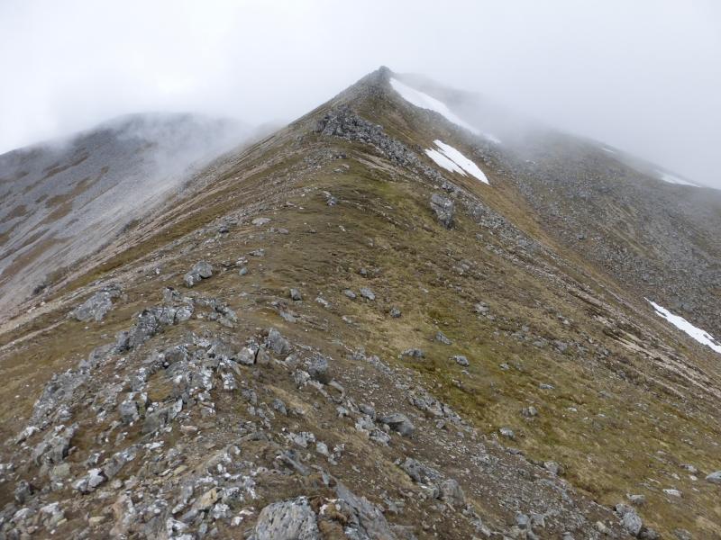
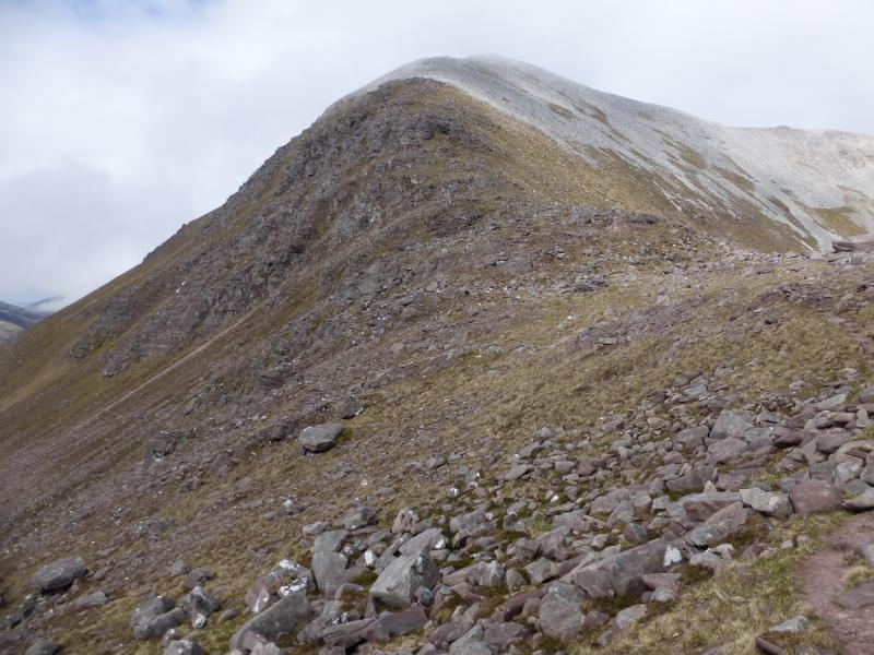
(2) Retrace to the col then ascend NW up the well defined SE ridge of Mullach Coire Mhic Fhearchair East Top. Reach a medium cairn which marks the summit of Mullach Coire Mhic Fhearchair East Top, 981 m.
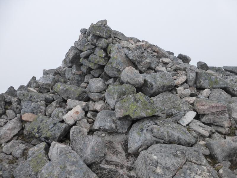
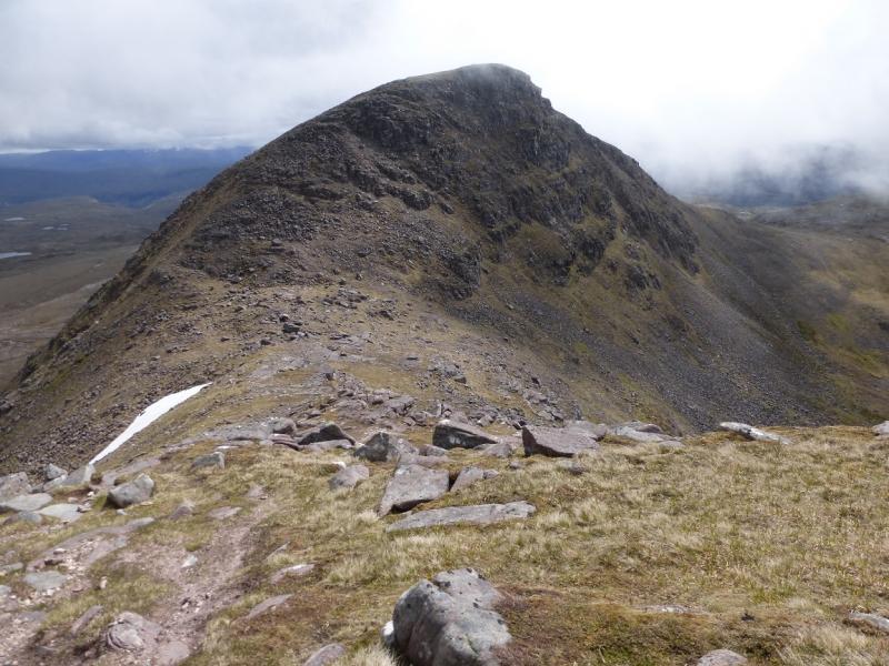
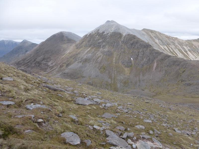
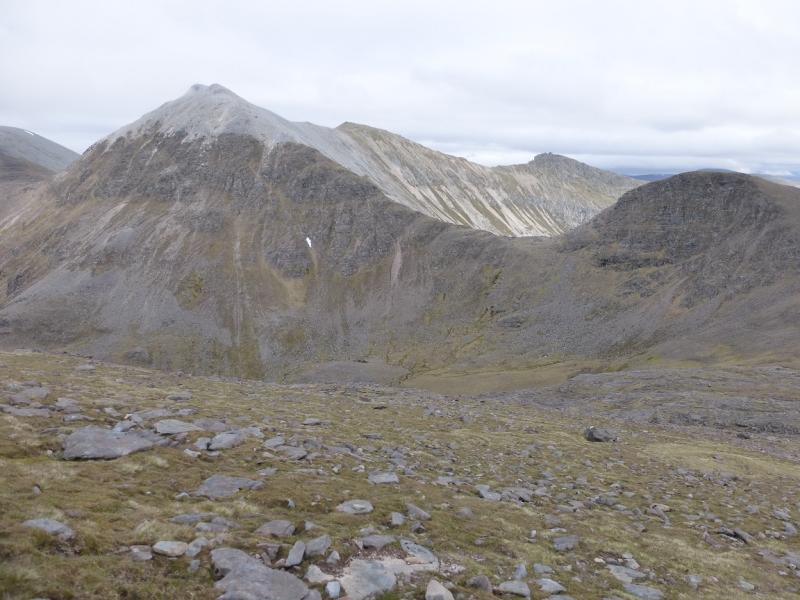
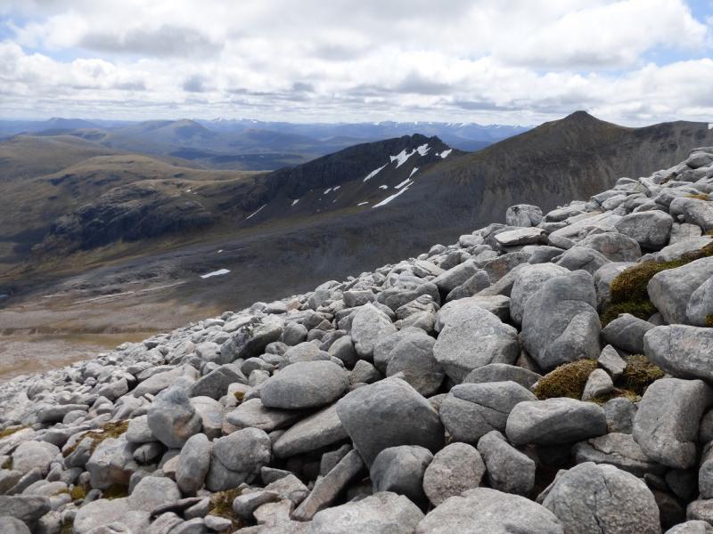
(3) Descend almost due W to a broad col then ascend up an increasingly bouldery slope to reach the large cairn which marks the summit of Mullach Coire Mhic Fhearchair, 1018 m.
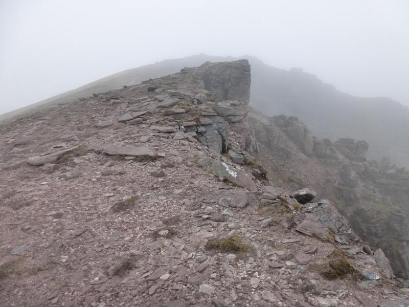
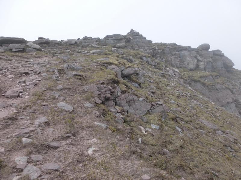
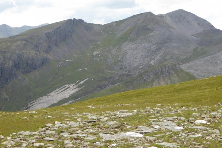
(4) Descend roughly S down the moderately steep S ridge. The path goes through some boulder fields which will slow progress. When the angle eases, reach the col between Mullach Coire Mhic Fhearchair and Meall Garbh. A traverse path goes across the NW flank of Meall Garbh or one can go over the top. Reach the broad col to the W of Meall Garbh. Ascend roughly WNW up easy slopes. There is a distinctive path higher up but nothing obvious lower down. The path lies over to the right, N. When the angle eases, soon reach a medium cairn which marks the summit of Beinn Tarsuinn, 937 m.
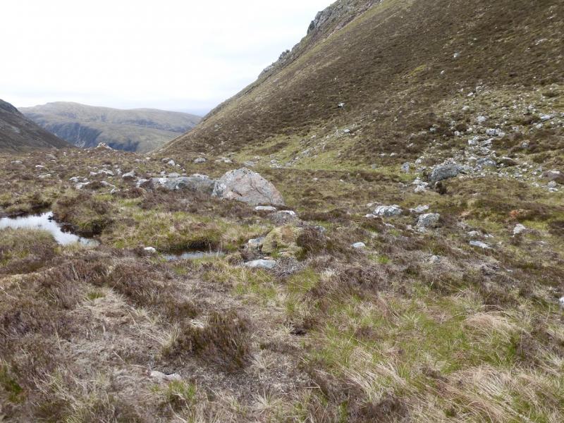
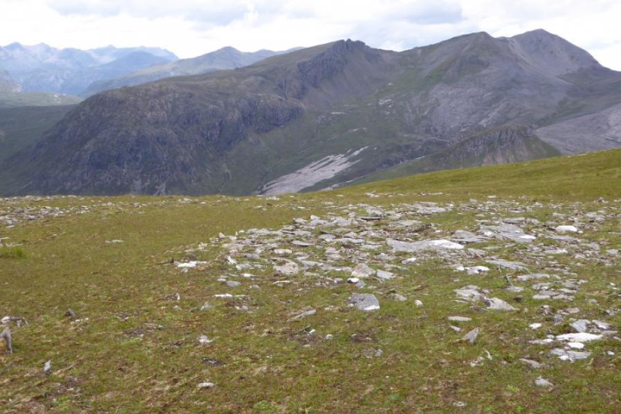
(5) Retrace towards the col below Meall Garbh then traverse Meall Garbh on its S side – there is a faint path. Once round the S ridge of Meall Garbh go E to cross the river flowing out of Coire Mhic Fhearchair – cross high up in wet weather. Continue E to ESE to reach Bealach na Croise where there are two small cairns. Descend NE, soon following a stream which will eventually flow into Loch an Nid. The better path is on the W side of the stream but, in wet weather, it may be better to stay on the E side or soon cross to the E side to avoid a difficult crossing lower down. After about 1 km, bear NE across rough ground to intercept the outward path and retrace back to the start.
Notes
(a) This walk took place on 12th June, 2015.
(b) A similar route was walked about 10 years earlier but the Sgurr Dubh ridge was gained to the E of the summit using the break in the cliffs on its N side – about level with the top of the slabs. The only difficulties are to the E of the summit. Some may prefer this route but others may prefer to ascend form the W col as the rocky descent will have already have been ascended making the descent route more obvious to those who are less happy on rocky crests.
(c) If you don't mind the driving, Dingwall Camping and Caravanning Club site is well placed for access to Glen Arric, Loch Mullardoch, Glen Strathfarrar, Strathconon, Ben Wyvis, Achnasheen, Kinlochewe. Fannaichs, Loch Glascarnoch, Beinn Dearg range and lower hills on the coast. The site is virtually midge free. It pays to be a member otherwise there are surcharges. There is an over 50's discount outside of the High Season. Electrical hook ups are possible for campers. Dingwall has a 24 hour Tesco.
(d) An interesting horseshoe, which has not been investigated, could be made from Kinlochewe. One would cycle in to the Heights of Kinlochewe then up Gleann na Muice for as far as possible. Pick a way to Loch Meallan an Fhudair then go N to gain the S ridge of Sgurr Dubh and follow this to the summit. Follow the route described above over the E Top, Mullach Coire Mhic Fhearchair and Beinn Tarsuinn then descend the S ridge of Beinn Tarsuinn to reach the outward path/track.
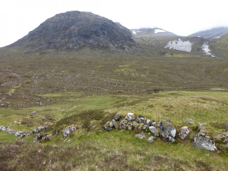
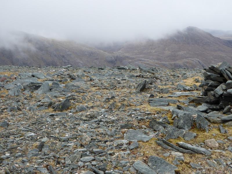
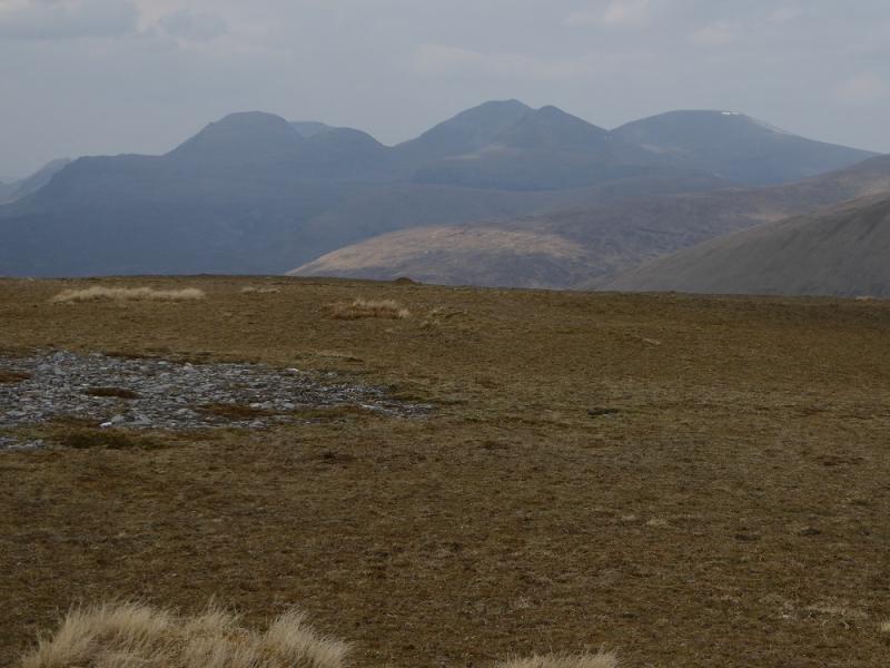
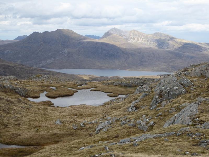
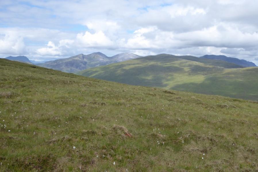
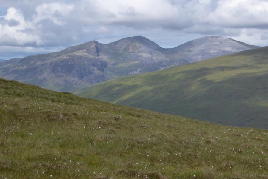
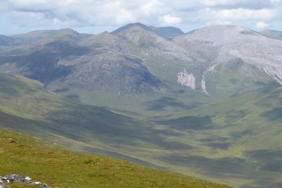
Photos - Hover over photo for caption. Click on to enlarge. Click on again to reduce.