Get Lost Mountaineering
You are here: Scotland » 03 North-west Argyll, Appin and Glencoe » Ballachulish & Connel to Loch Etive
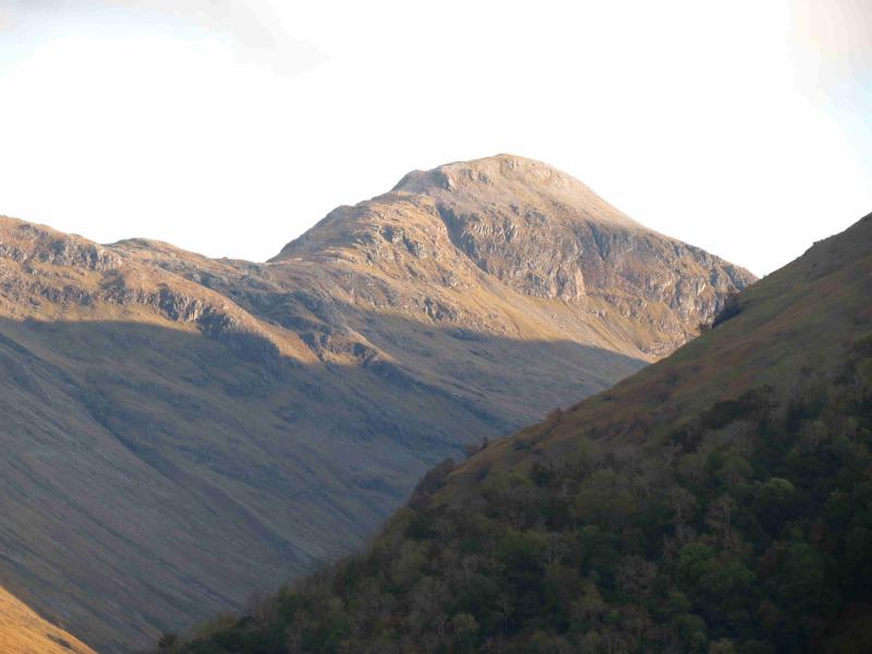
Beinn Maol Chaluim
Beinn Maol Chaluim from Glen Etive
Start/Finish
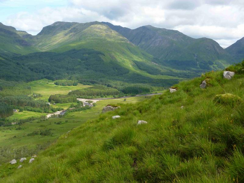
The clearing in the forest, between two plantations, opposite the large lochan below the road, in Glen Etive which is about 7 miles down the Glen Etive road from the A82 near the Kingshouse Hotel. The grid reference for the start of the clearing is NN 149 497. There is some parking but do not park in designated passing places.
Distance/Time
8 km About 5 hours
Peaks
Beinn Maol Chaluim, 907 m, NN 135 526.
OS Sheets 41 and 50 although virtually all of the walk, apart from the start, is on OS 41 but right on the edge of the map. Note that on the 1991 edition, the summit height of Beinn Maol Chaluim is not shown but the lower SE top is shown as 847 m. This top is about 1 km from the actual summit.
Introduction
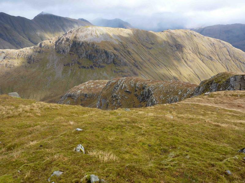
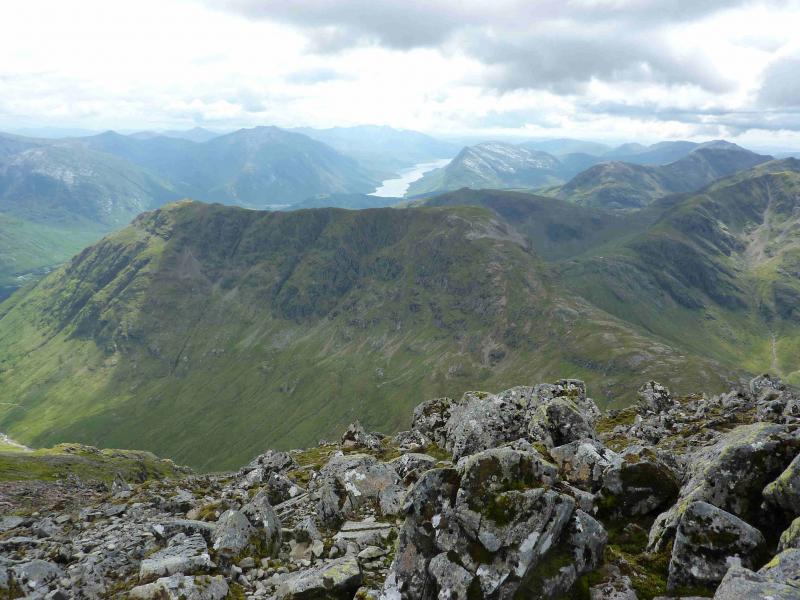
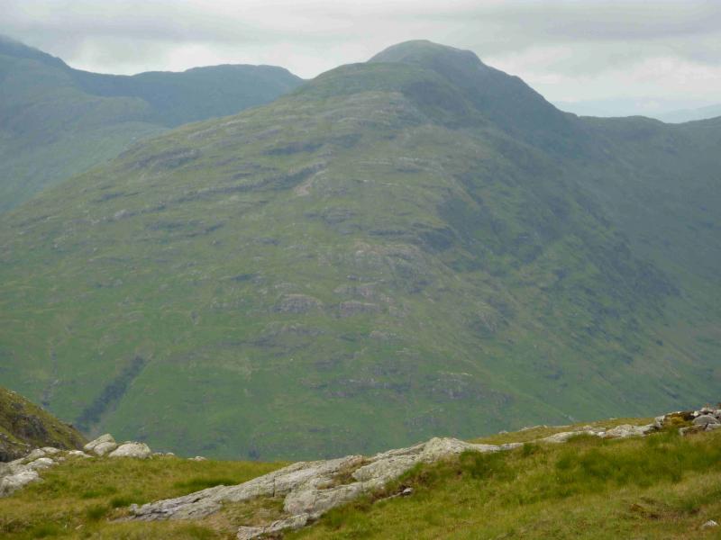
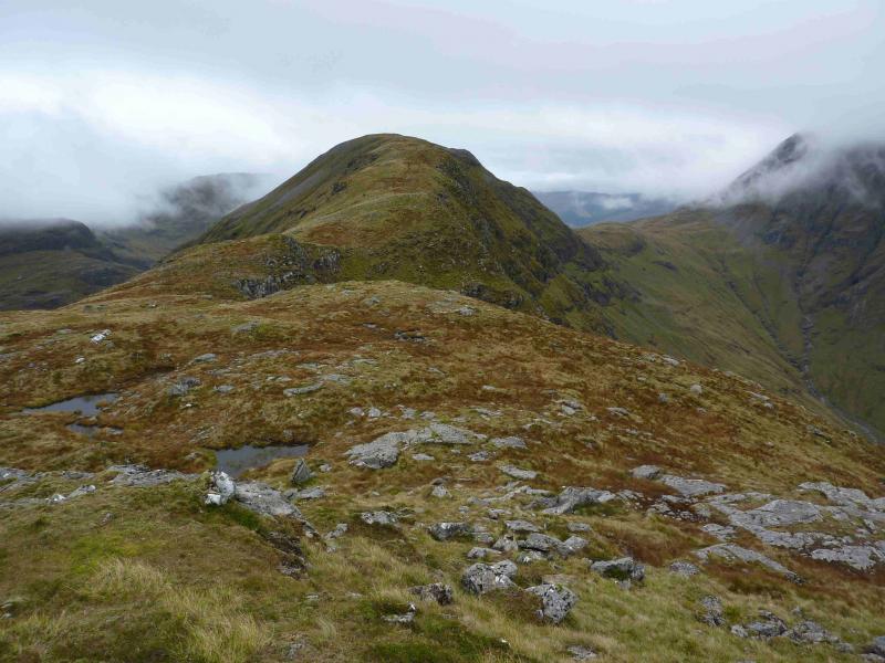
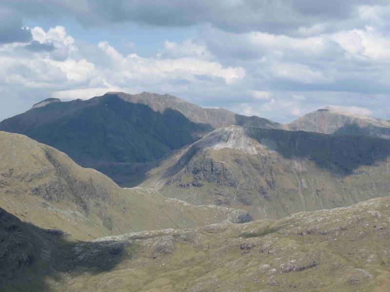
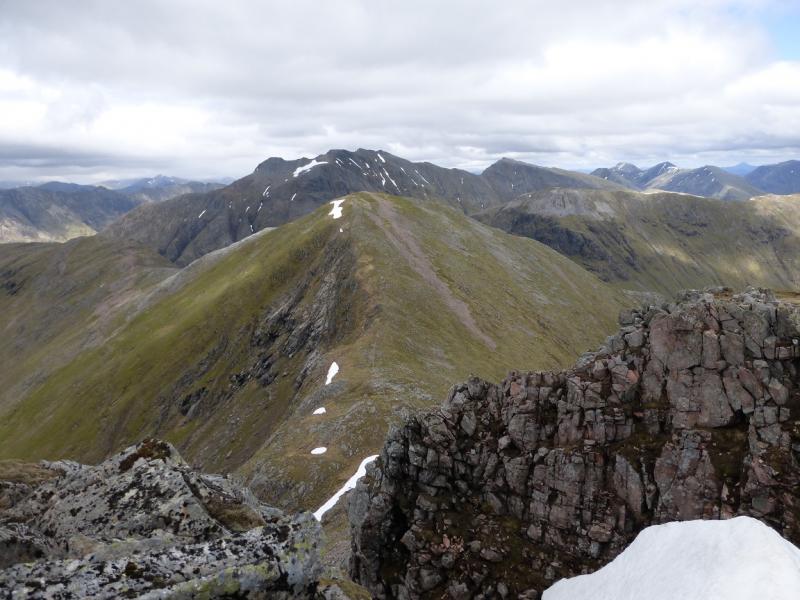
Beinn Maol Chaluim is, surprisingly, not that popular a mountain yet it offers excellent views of other Glen Etive hills especially Bidean nam Bian, Stob Dubh, Stob Coir'an Albannaich, Ben Starav, Beinn Trilleachan, Beinn Fhionnlaidh and Stob an Fhuarain (lower top of Sgor na h-Ulaidh). Save it for a good weather day.
Route
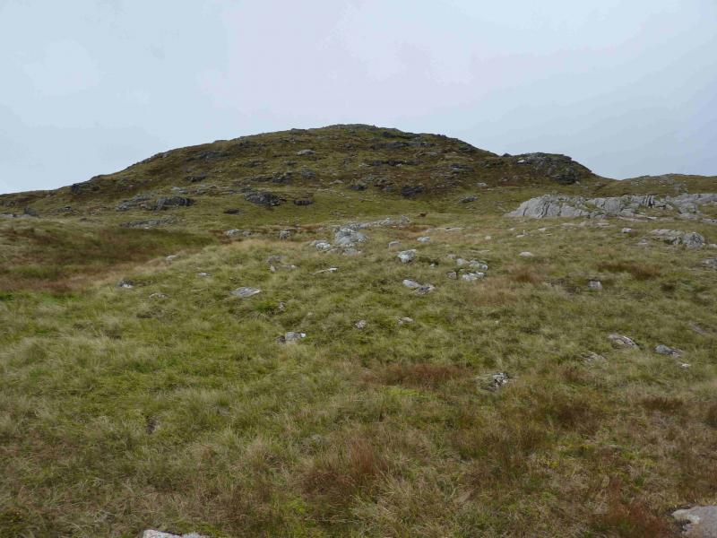
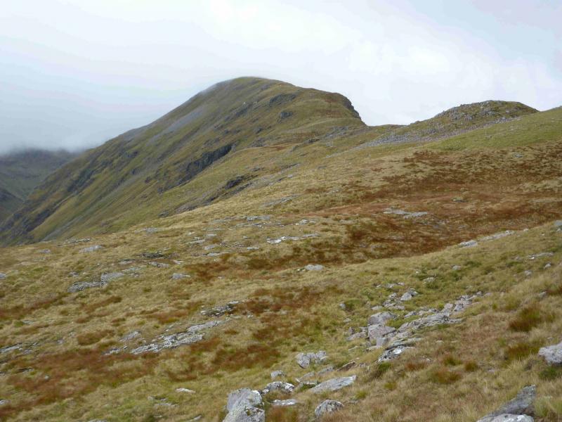
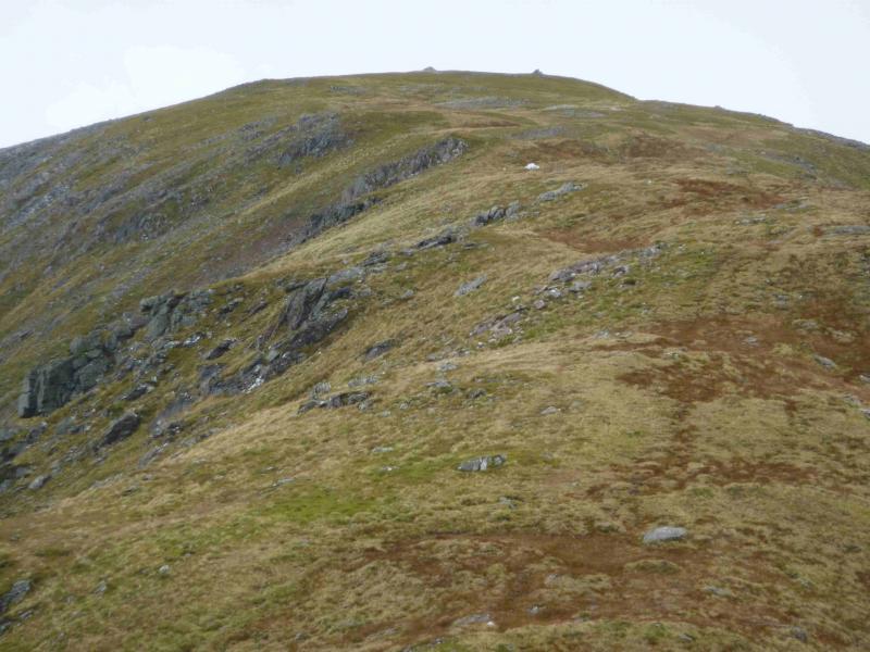
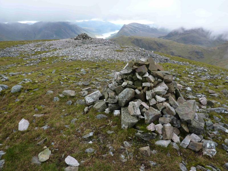
(1) Driving down, S, Glen Etive, the walk starts just below the first telegraph pole, on the right, after the plantation before the clearing. In 2012, there were some bollards just past this point and an old iron gate just before. Just below the telegraph pole, a path slants left up the hillside and avoids the crags and worst of the long grass. The path can be difficult to follow in places but it does lead over the first rise to a flatter section where there are some small peaty areas (the only boggy part of the walk) which are easily crossed on the right. From here the path becomes harder to follow but the ground, although steep in places, is very easy to walk. Directly ahead and well above, a small rocky “cliff” crosses the ridge. One can ascend directly to this, using grassy ramps, or drift left or right as all upward routes converge higher up. There are many weaknesses in the “cliff” or it can be easily outflanked at either end. From here the ridge is flatter for a while then climbs to the 847 top which is not marked by a cairn. From about here, the path becomes more distinct and follows the gently undulating ridge NW before the final climb to the summit where there are two medium cairns, about 30 m apart, with the second one being, obviously from observations on the ground, the summit of Beinn Maol Chaluim, 907 m.
(2) Return the same way.
Notes
(a) This walk took place on 2nd June, 2006 and 26th September, 2012.
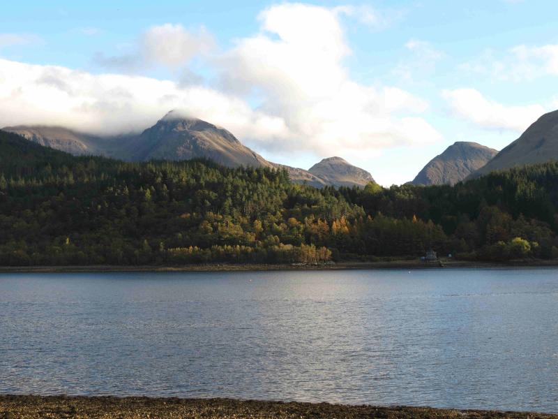
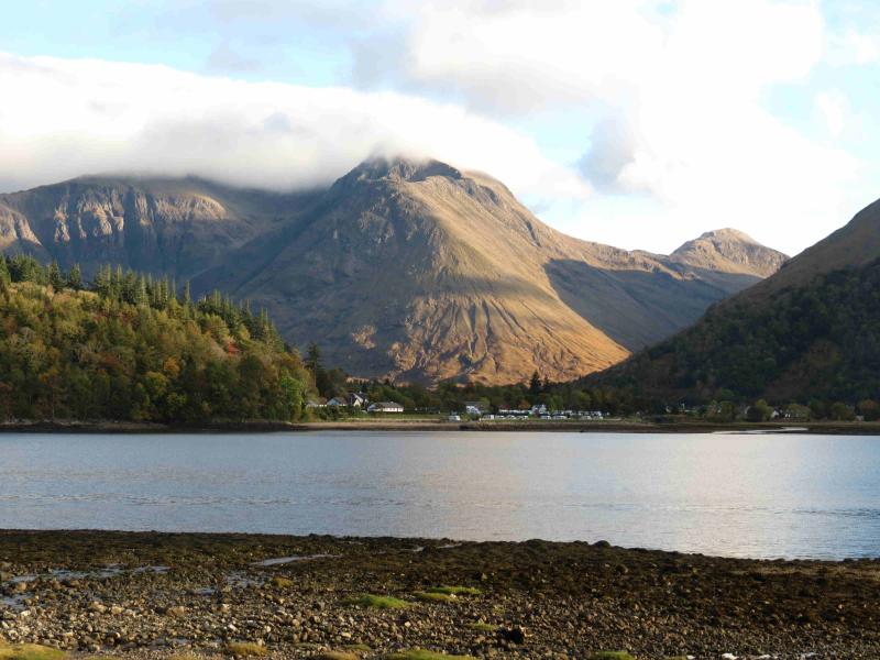
(b) Beinn Maol Chaluim is clearly visible when driving up lower Glencoe from about where the road turns E near Signal Rock.
Photos - Hover over photo for caption. Click on to enlarge. Click on again to reduce.