Get Lost Mountaineering
You are here: Scotland » 15 Loch Broom to Easter Ross » Dingwall to Loch Vaich & Strathcarron
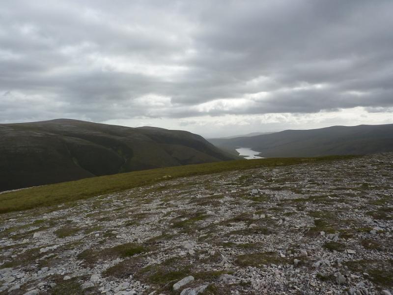
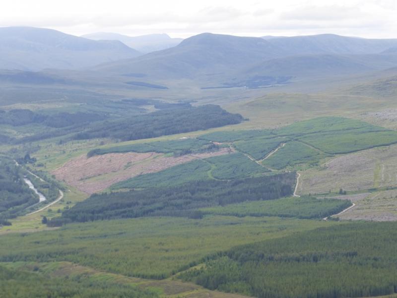
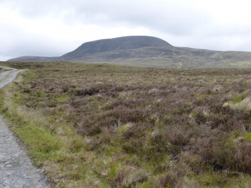
Beinn a' Chaisteil from Black Bridge
Beinn a' Chaisteil from Black Bridge
Start/Finish
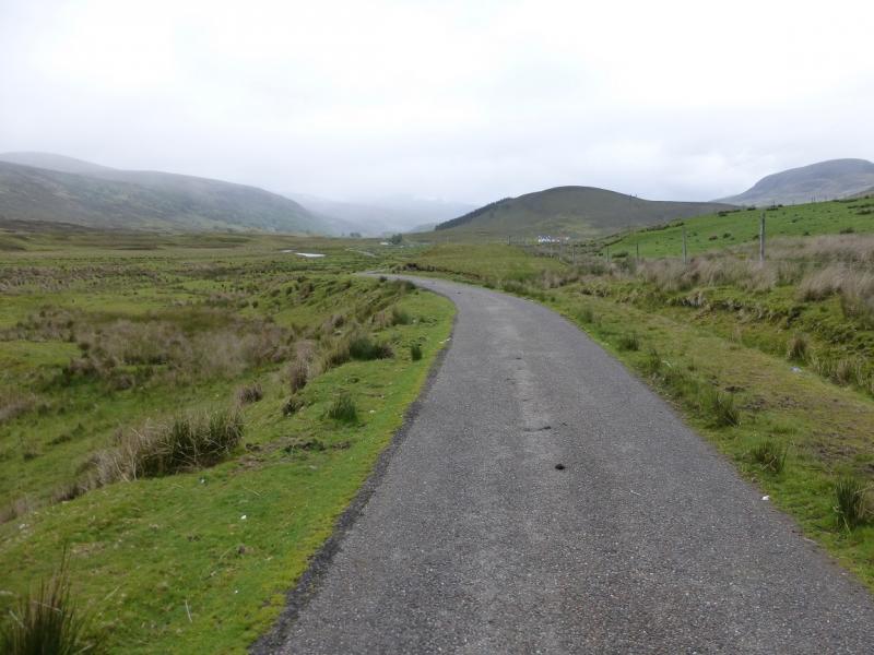
Black Bridge on A835 Ullapool Road about 2 miles N of Inchbae Lodge at about NH 373 708.
Distance/Time
6 km walk + 18 km bike About 6 hours
Peaks
Beinn a' Chaisteil, 787 m, NH 370 801. OS map 20.
Introduction
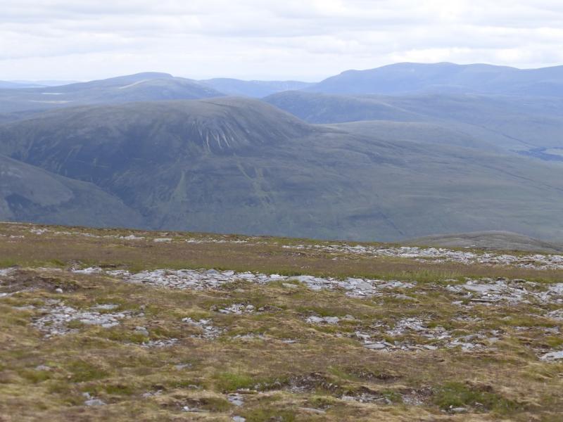
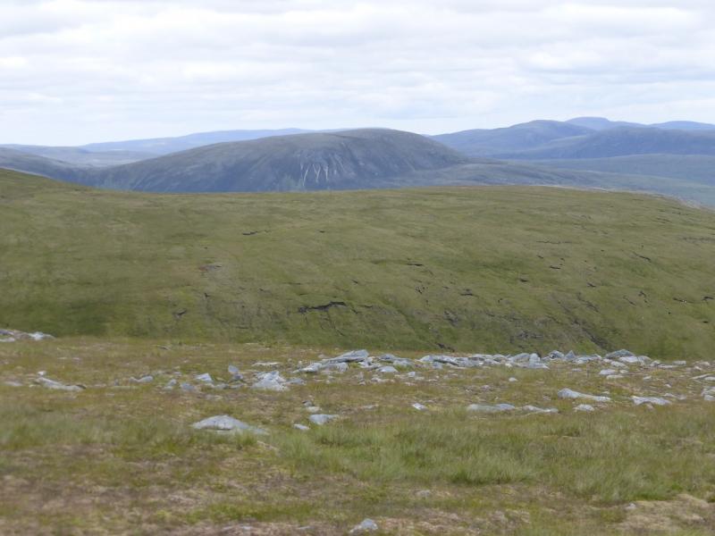
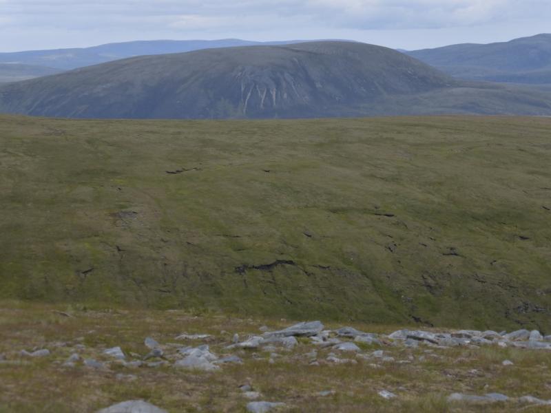
This is a hill where a bicycle is very useful as one can cycle to the foot of the hill. The first 3 km of the track are on a tarmac road leaving 6 km on a good track with only one significant hill climb. There are good views in all directions but especially to some of the remote hills such as Seanna Bhraigh and Carn Ban. Ben Wyvis is very obvious to the south.
Route
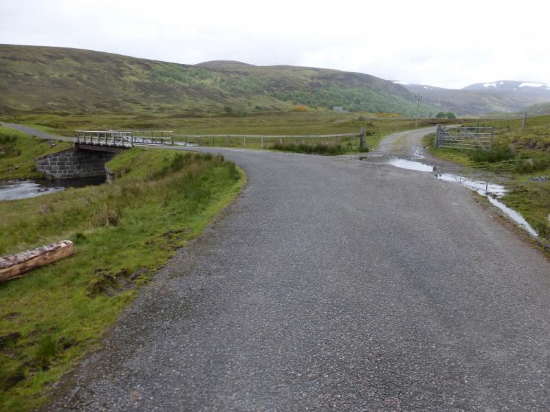
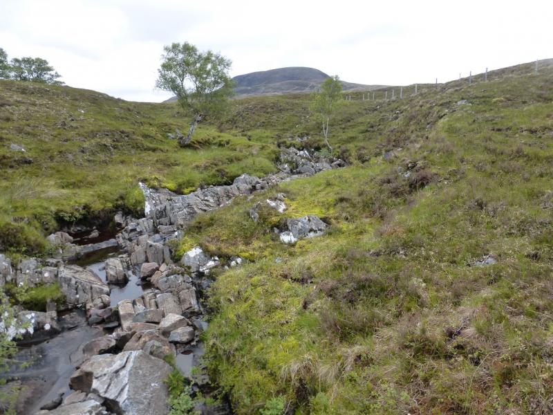
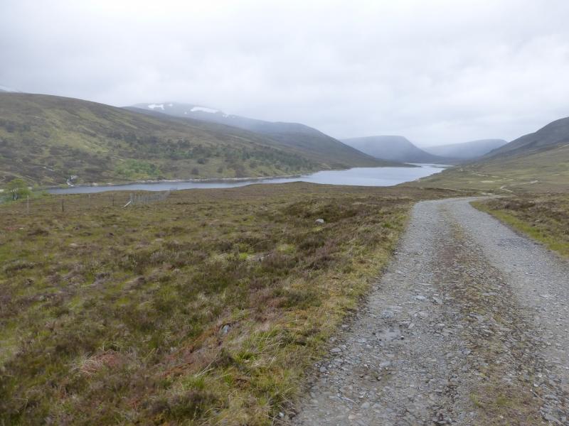
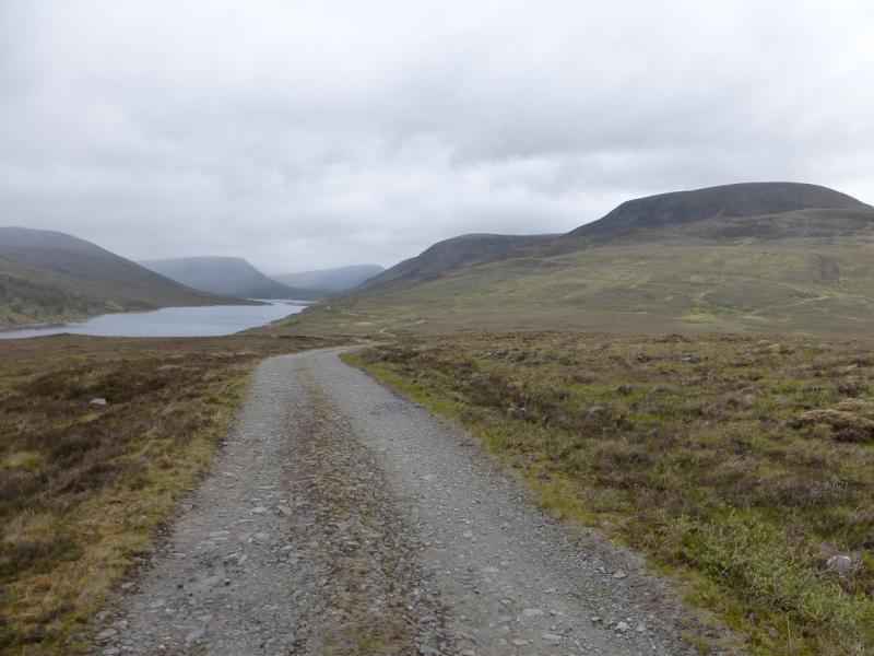
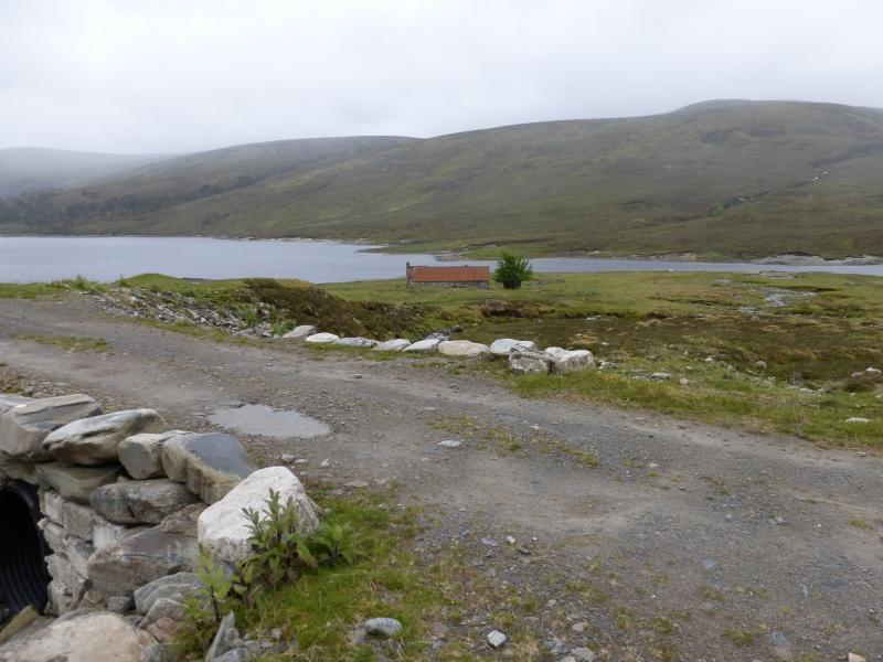
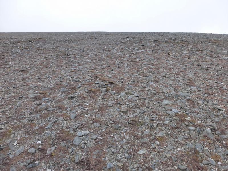
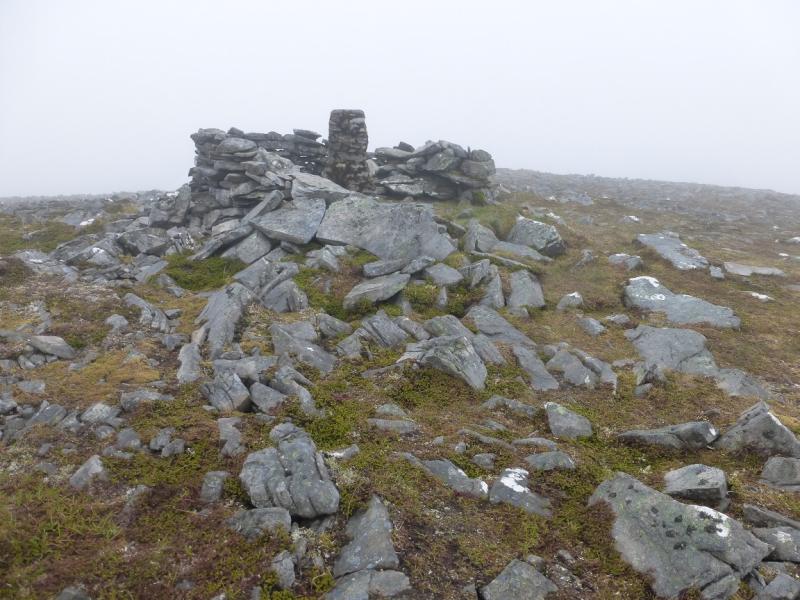
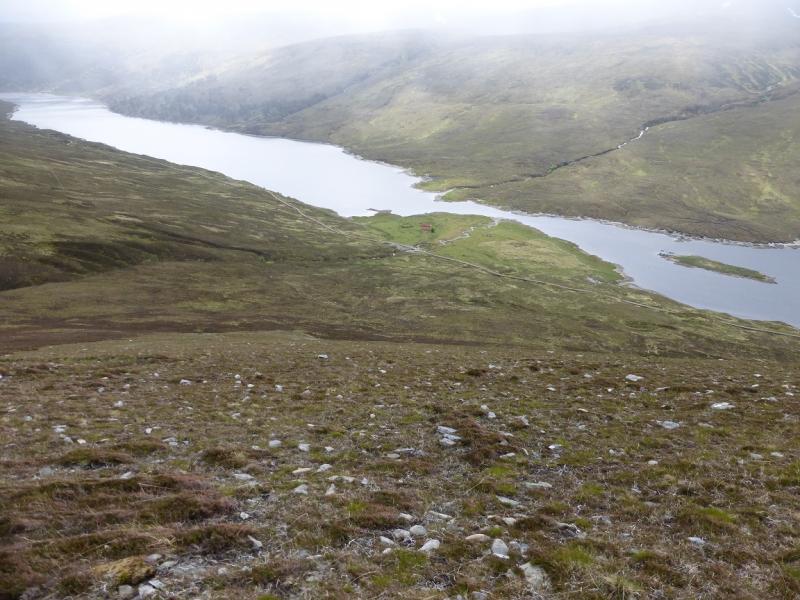
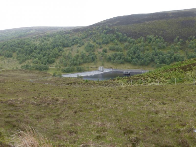
(1) From Black Bridge, cycle N, up Strath Vaich. The tarmac road is left just before a bridge and the track, with a short boggy section, continues past a wood. Not far beyond the end of the wood, the track splits. Go left, W. This is not the instinctive way to go as one can see the track further up the strath but it is the correct way. The track curves around to the N and passes the obvious dam at the S end of Loch Vaich. This is where the only significant hill on the track is. Continue for about 3 km past the dam to reach the cottages at Lubachlaggan which are set back from the track and nearer the loch. Cross the obvious stream then leave the bike here. The start of the path going up the N side of the stream is fairly obvious. Follow the path up. It will become faint but it goes up the ridge on the left – being left of the crest. It zig-zags higher up and reaches a small cairn. If it is clear, a larger cairn will be seen higher up. Head for this then go roughly ENE to reach the N – S crest of the summit plateau before walking N across almost level ground to reach an old trig point in a shelter cairn which marks the summit of Beinn a' Chaisteil, 787 m.
(2) Retrace the outward route. Avoid the temptation to cut inside the ridge line as the ground is wetter and more boggy. Reach the larger cairn then the smaller one from where the zig-zag path is fairly obvious if it was missed in ascent.
Notes
(a) This walk took place on 19th June, 2015, and about ten years earlier.
Photos - Hover over photo for caption. Click on to enlarge. Click on again to reduce.