Get Lost Mountaineering
You are here: Scotland » 15 Loch Broom to Easter Ross » West Of Strathcarron & Loch Vaich to Ullapool
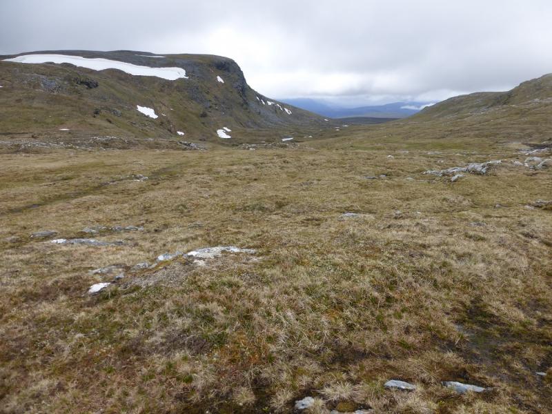
Seanna Bhraigh from Inverlael
Seanna Bhraigh from Inverlael
Start/Finish
Car park, at Inverlael, about NH 181 852, on A835 Ullapool Road. The car park is well signed and is close to a white house and old red telephone box.
Distance/Time
23 km walk + 5 km bike. About 9 - 10 hours
Peaks
Seanna Bhraigh, 926 m, NH 281 878. OS map 20.
Introduction
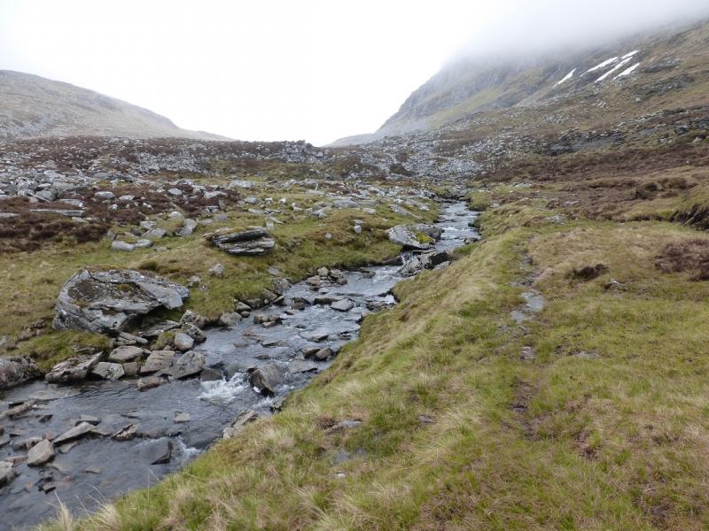
This is a full day's walk with a long walk in and a long walk out. Using a bicycle can save about 5 km of walking on the forestry tracks and give a long welcome free wheel at the end of a long day. Seanna Bhraigh is probably the third most remote Munro in Scotland after A' Mhaighdean and Lurg Mhor. It lies in the heart of remote country with fine views in all directions, including to Suilven, on a clear day. Although it is a long walk from Inverlael, there is a good path for much of the way although it can be boggy in a wet spell and one stream crossing can be problematical.
Route
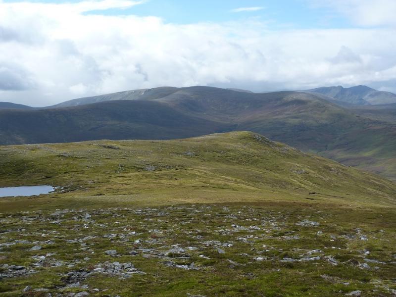
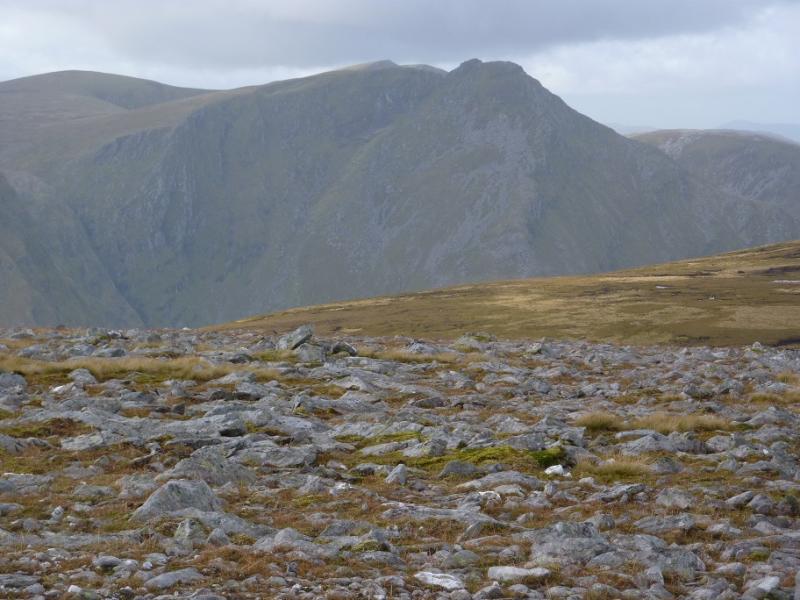
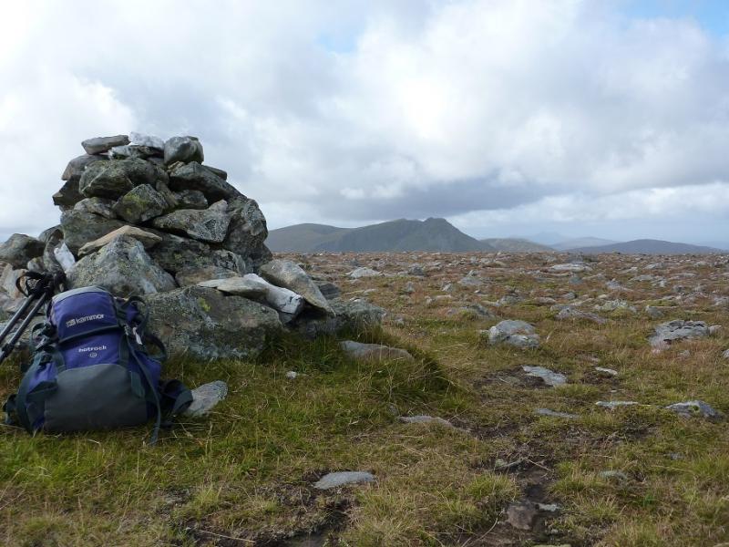
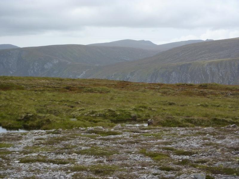
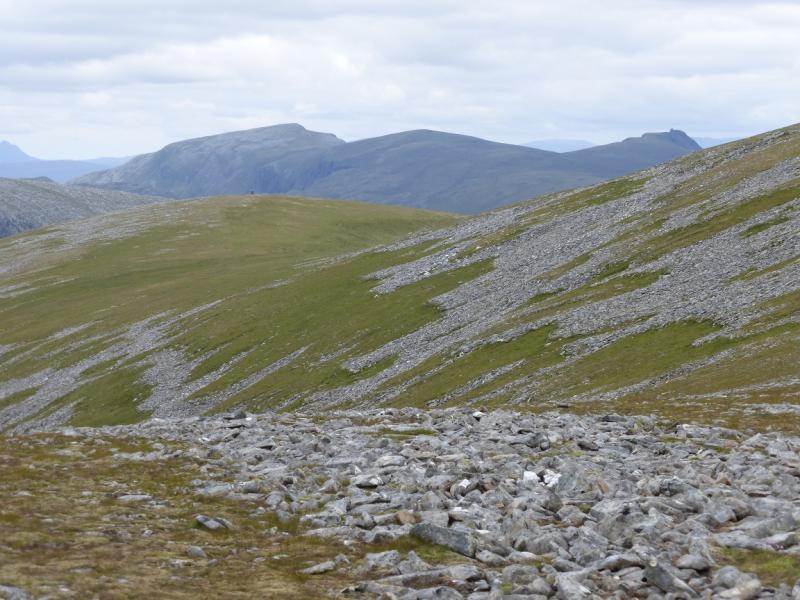
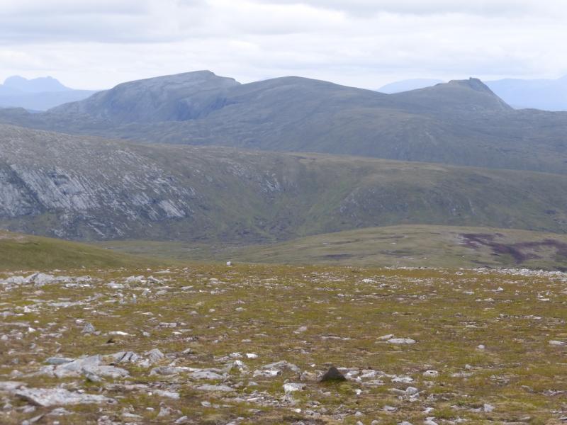
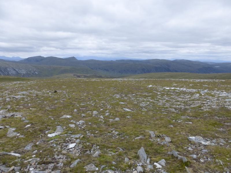
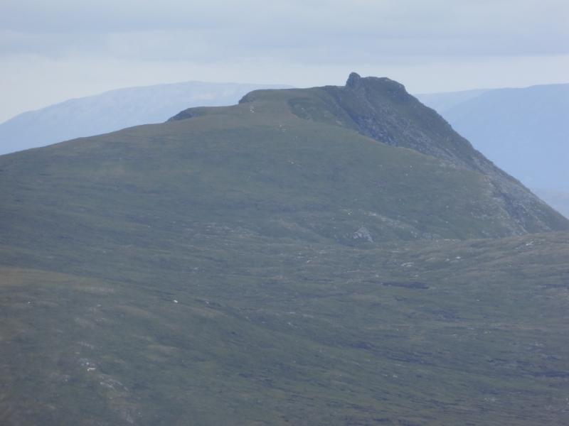
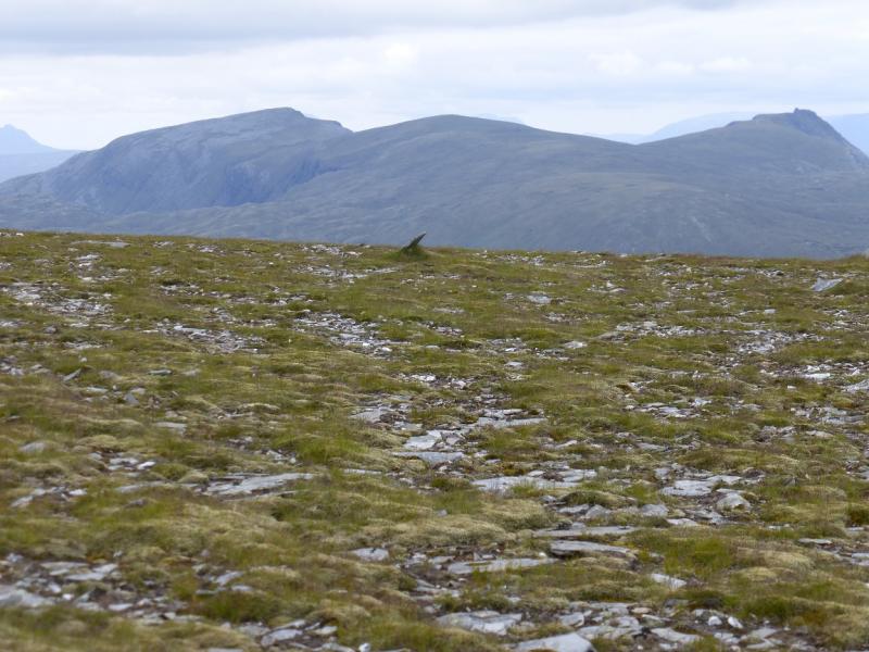
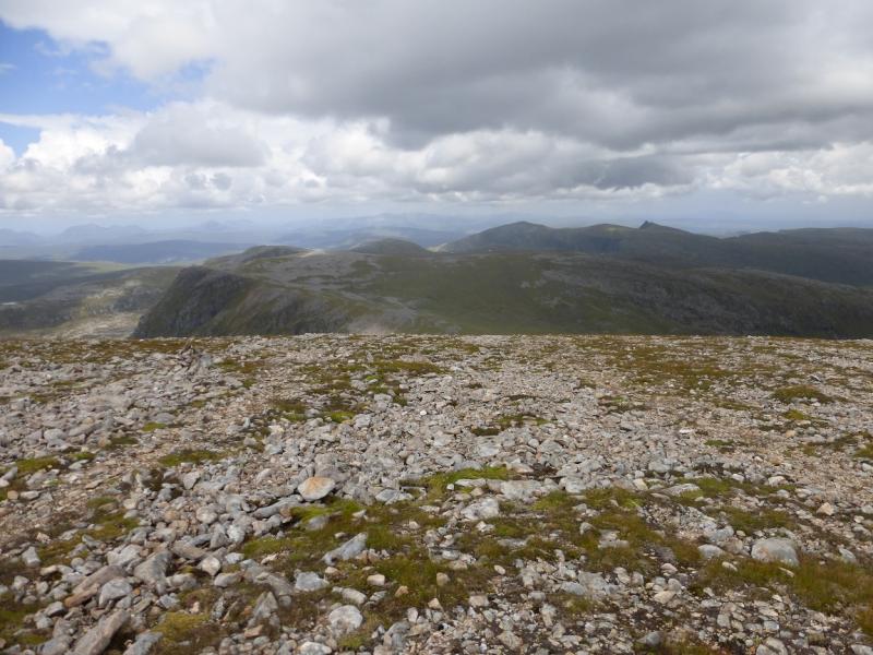
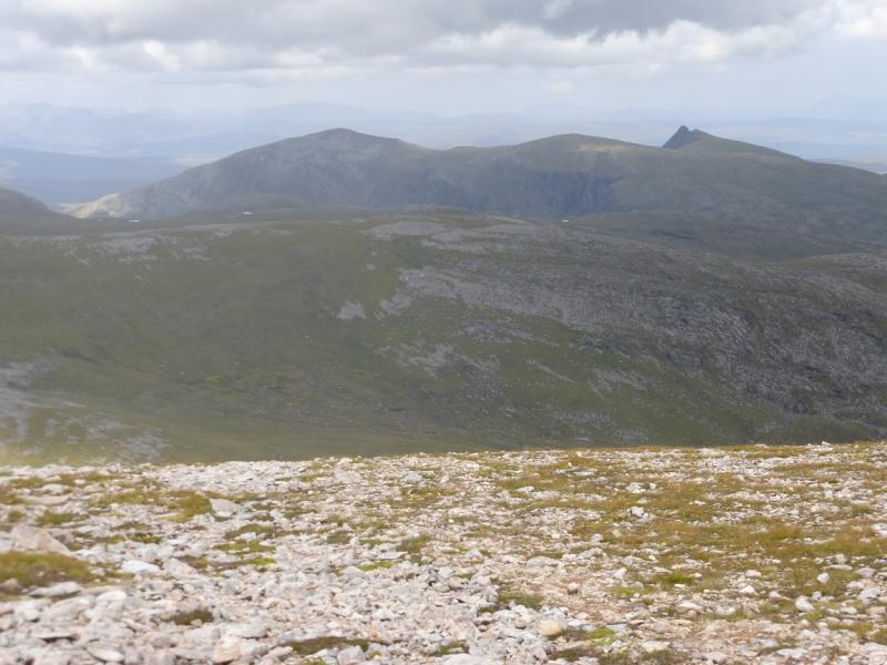
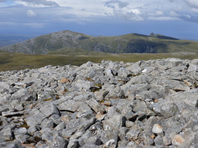
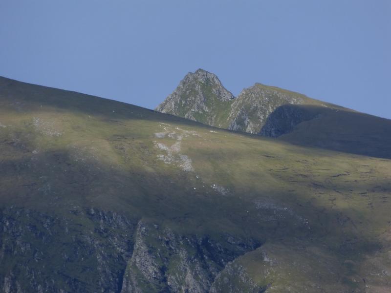
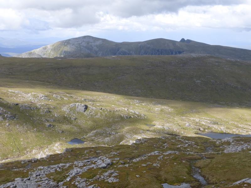
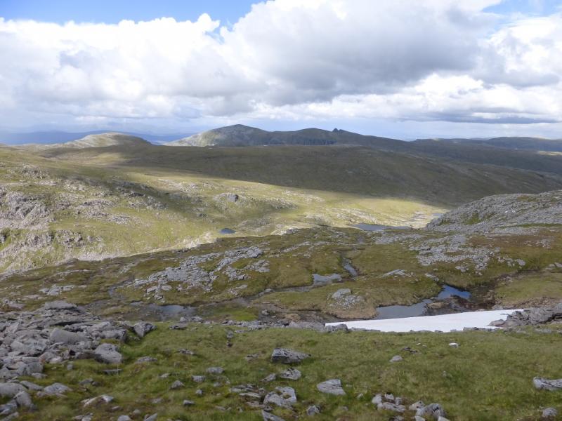
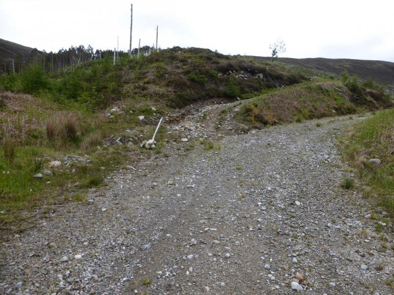
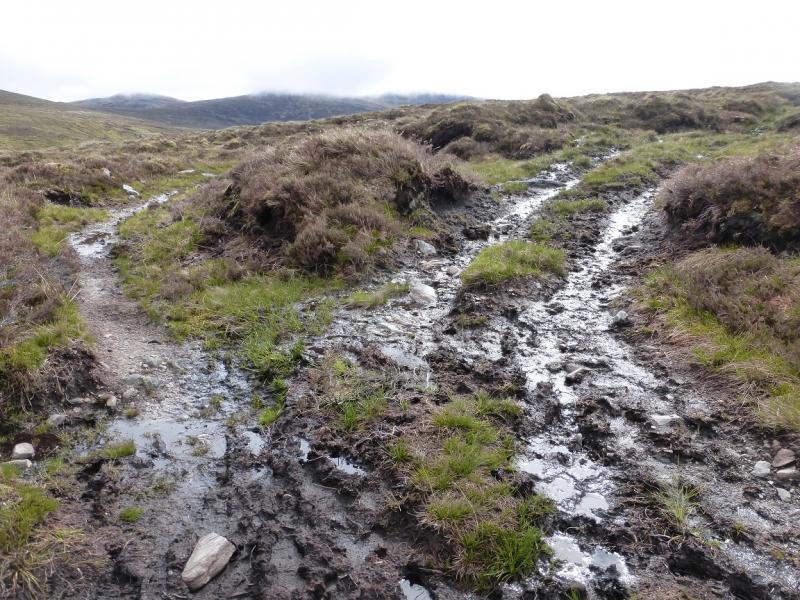
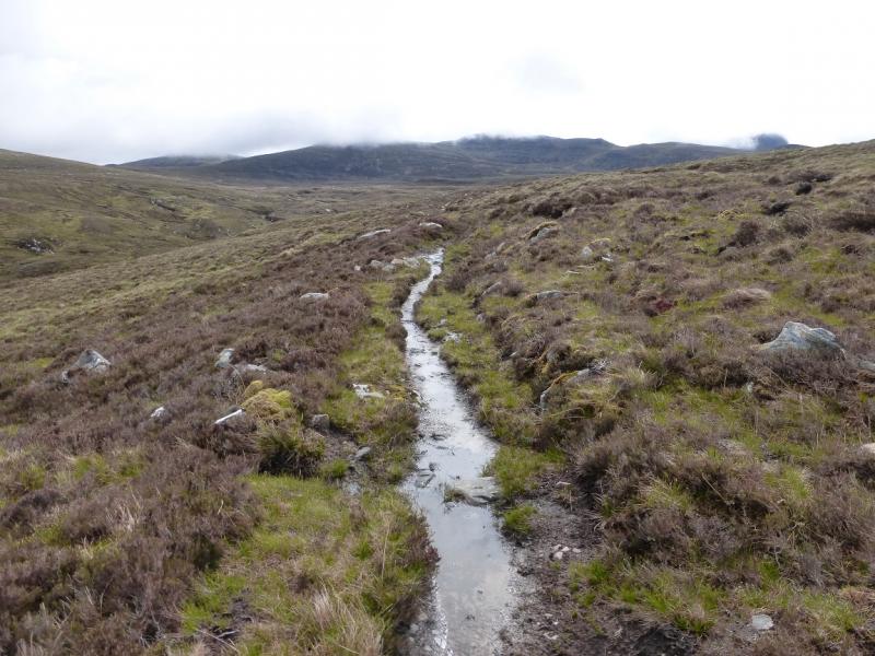
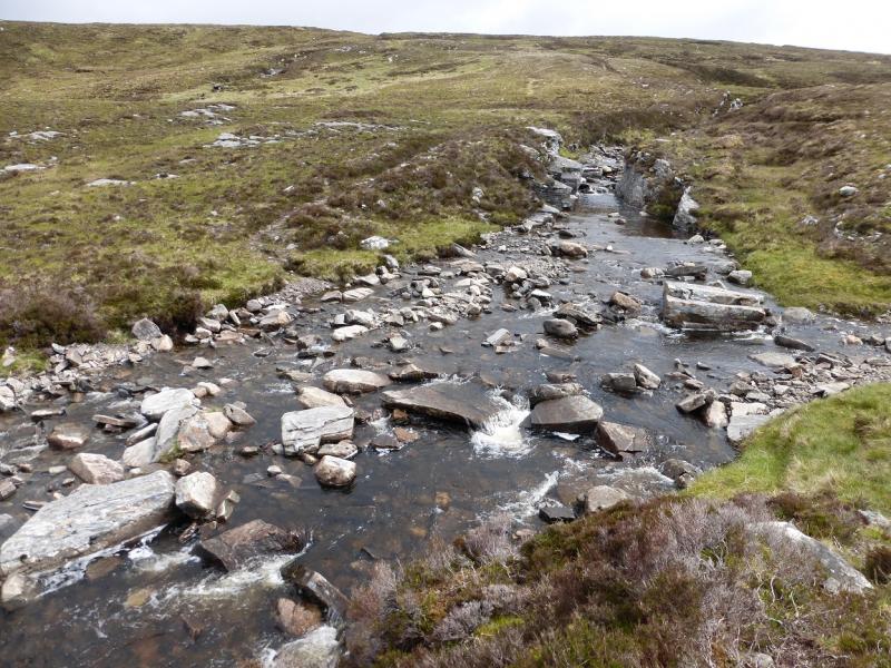
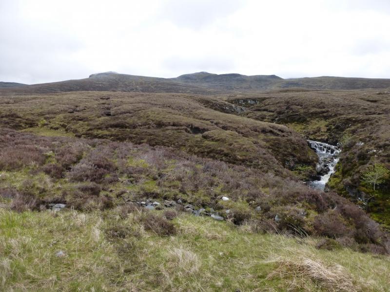
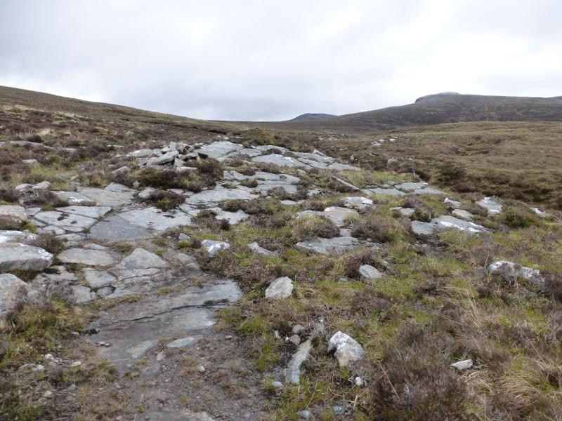
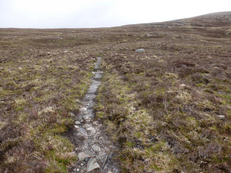
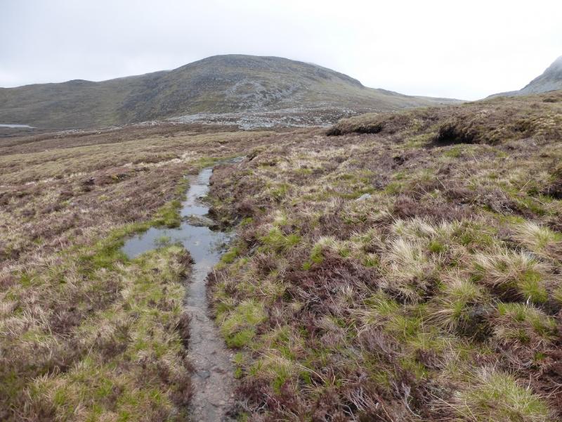
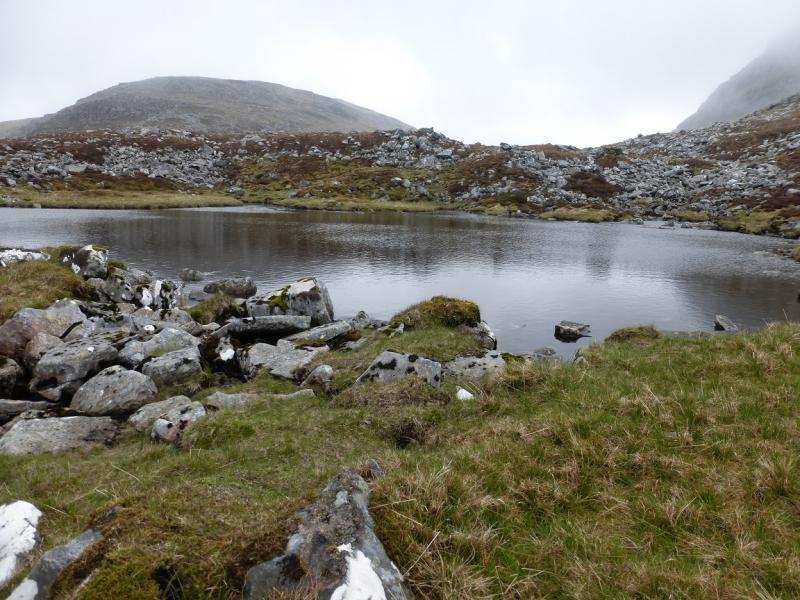
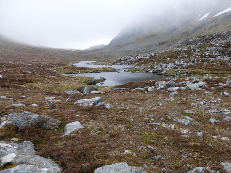
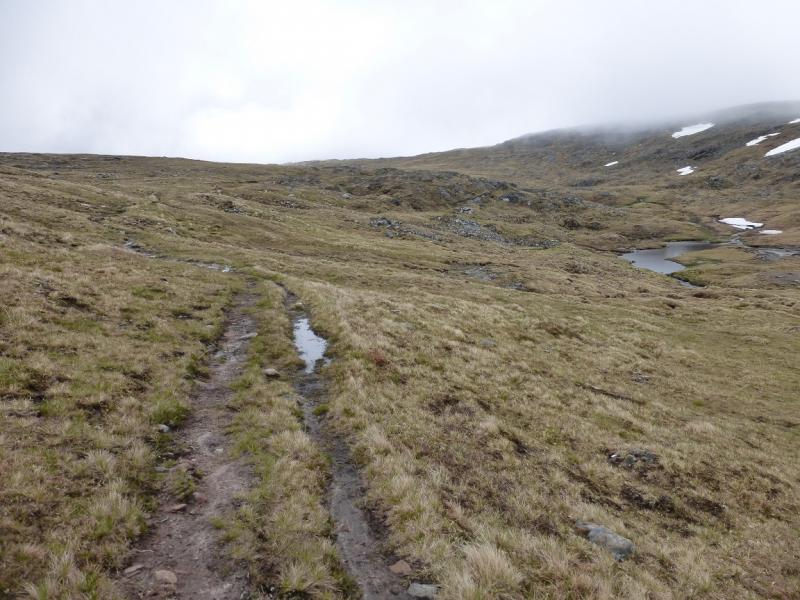
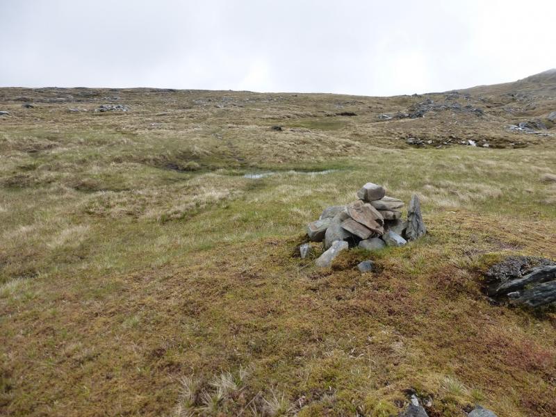
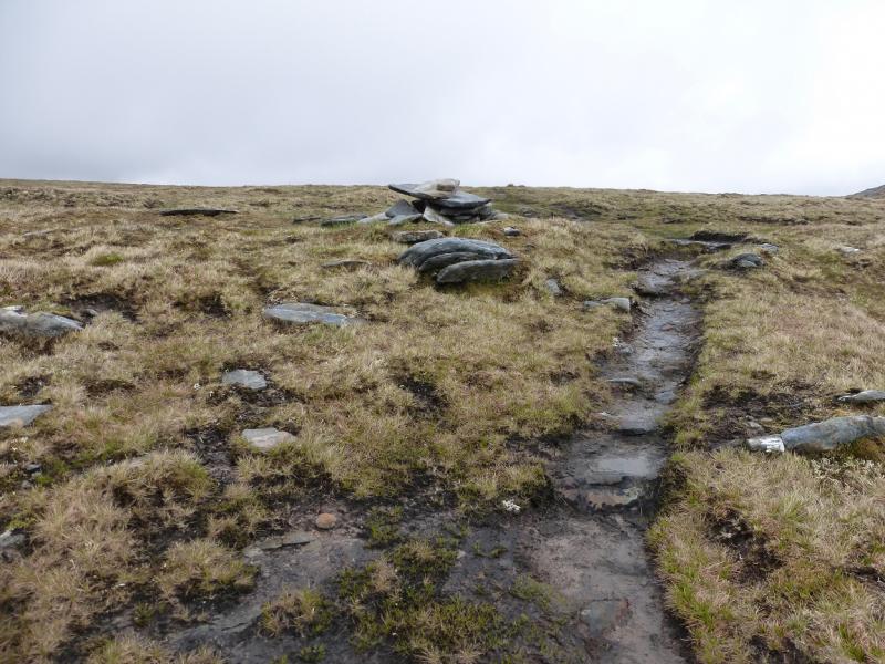
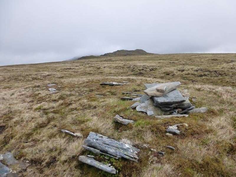
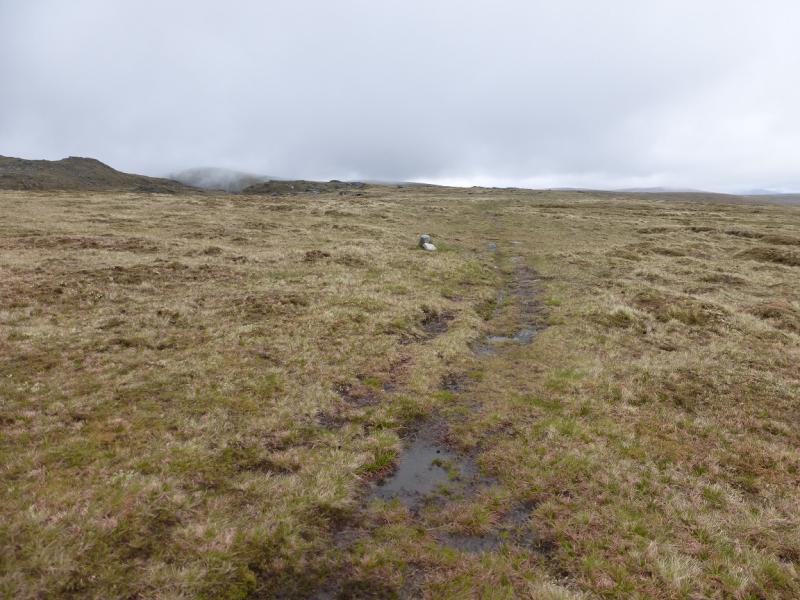
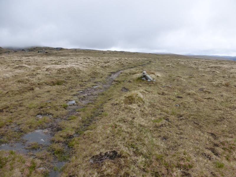
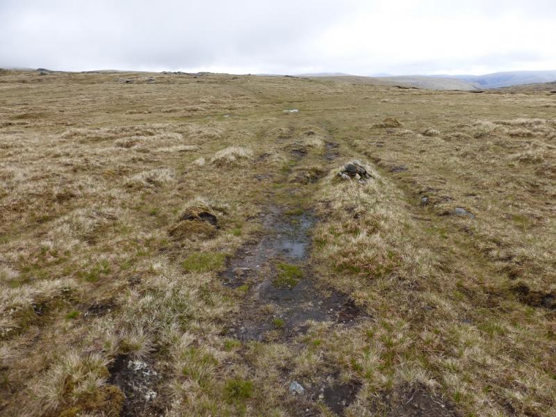
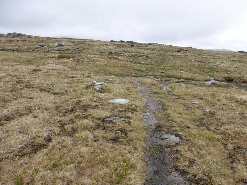
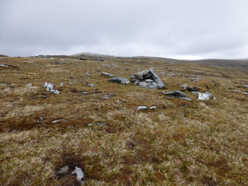
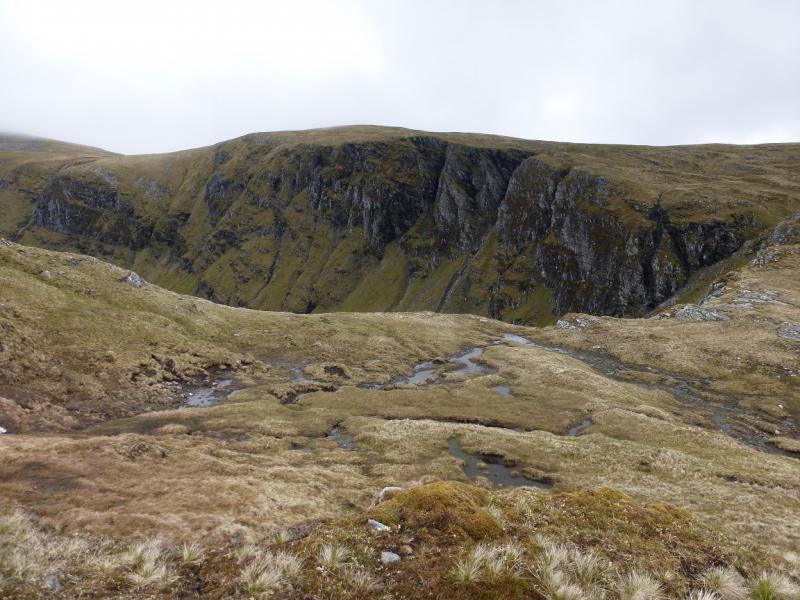
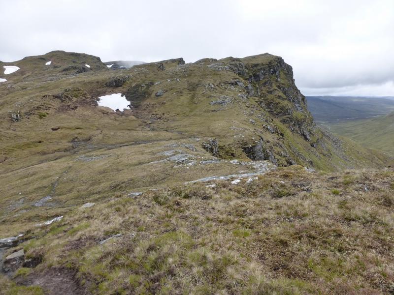
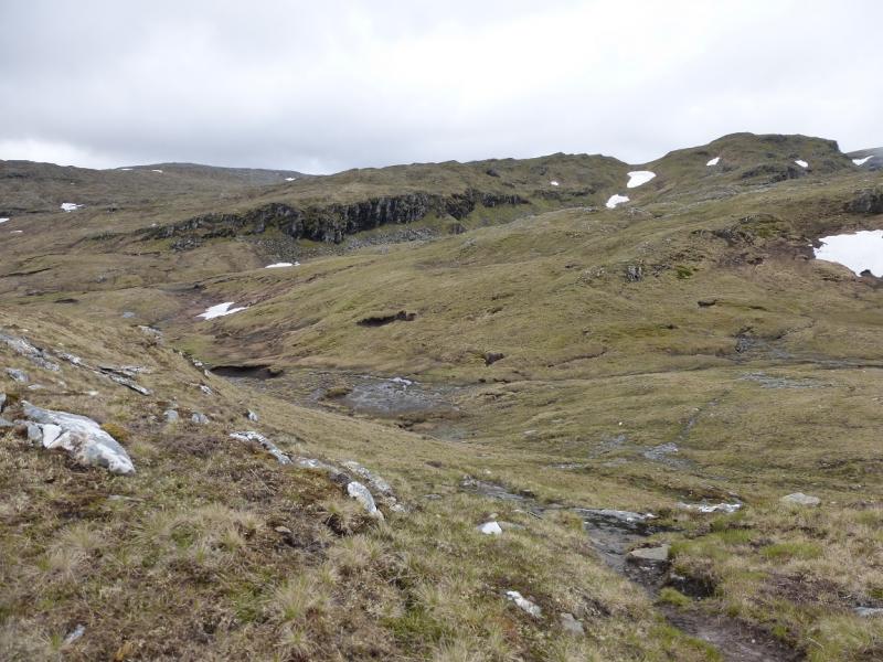
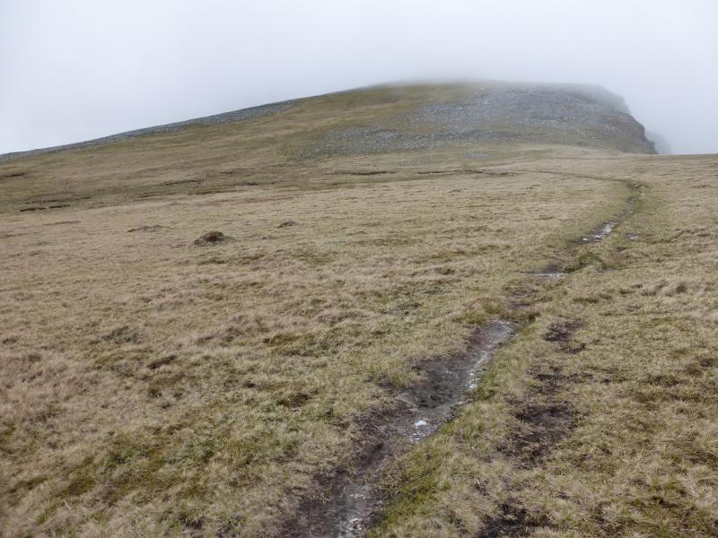
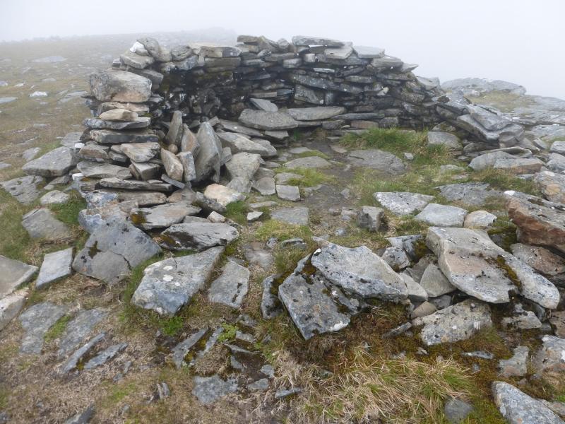
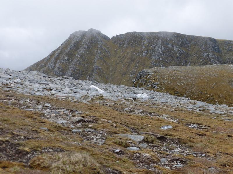
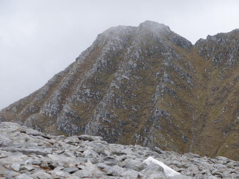
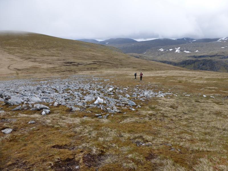
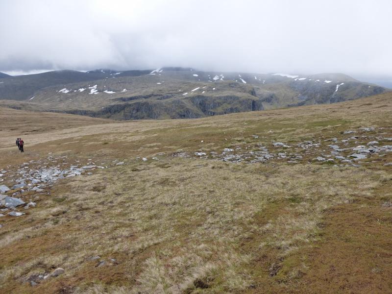
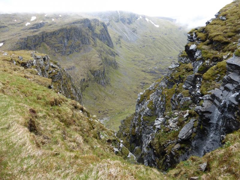
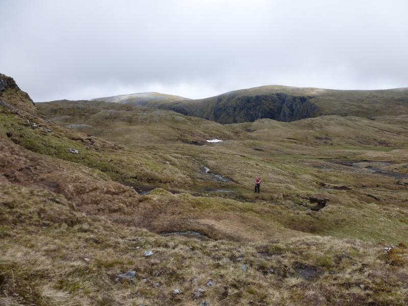
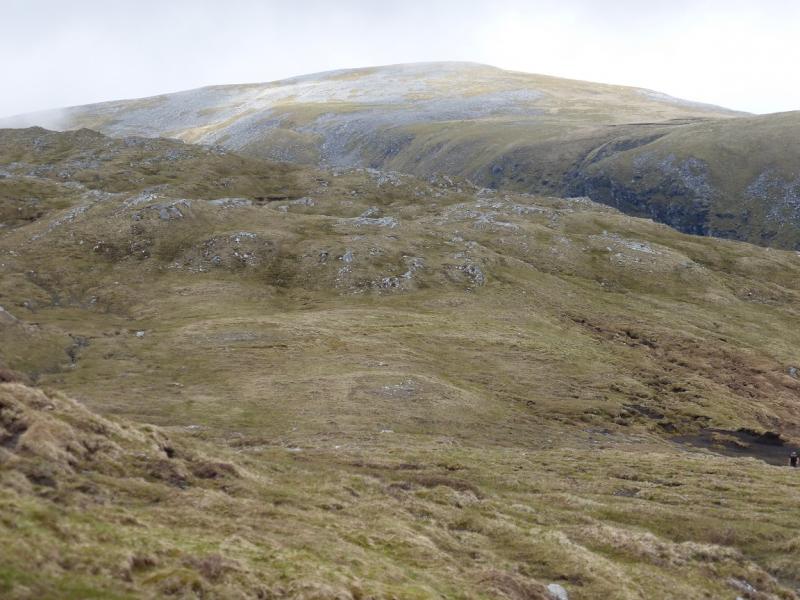
(1) From the car park, take the track going E just before the house. Follow this track, more or less in a straight line. When a junction is reached, after about 2 km, there are three tracks to choose from. Take the one on the left and follow it across a bridge and then to the end of the forestry. It is possible to cycle to here, about 2.5 km each way. Once out of the forest, just after crossing the river, the main track (to Beinn Dearg) continues by the river. Another track goes off left. Take this and follow it to just past a right hand bend where a small cairn indicates the start of a rougher track ascending towards the ridge above. Follow the track, rough and boggy in places, to reach the crest of the ridge known as Druim na Saobhaidhe. The path sepaartes from the track on the crest and the path descends gently towards the Allt Gleann a' Mhadaidh to the N. The path crosses the river near a confluence. The crossing is normally straightforward but could be awkward in spate. The path continues in the same direction and gradually climbs out of the glen on to a crest where it soon crosses the outflow of Lochan Sgerrich. This crossing is easiest next to the lochan. Continue with the lochan on your right and follow the path, still E, up on to a grassy watershed. The path, as shown on the map, runs out at a small cairn, but smaller cairns indicate the way ahead and a fainter path now exists. It can be confusing from here in mist but try to follow the line of cairns – going E then NE to pass to the W of Loch a' Chadra Dhearg then go N to reach the rim of the huge corrie known as Cadha Dearg which is very impressive. From the end of the path, one could go NE to reach here but there will be some steep undulating ground on the way. From the SE corner of the Cadha Dearg, there is a path ascending to the N. Follow this up. It becomes difficult to follow but the corrie rim helps with navigation although this is not where the path is. Aim for shallow dip between Seanna Bhraigh and top 906 where the path will reappear, if lost. Walk up easy slopes, NW then N, to reach a shelter cairn which marks the summit of Seanna Bhraigh, 926 m. The summit is perched on the edge of the eastern cliffs and the view east is very fine. Note the tower of Creag an Duine on the ridge which curves around to the E of the summit.
(2) Retrace the outward route.
Notes
(a) This walk took place on 20th June, 2015, and about 20 years earlier. About 10 years earlier, Seanna Bhraigh was climbed from Oykel Bridge in the east. This uses a private track to Duag Bridge then Corriemulzie Lodge in Strathmulzie where cycling takes over to Loch a' Choire Mhor where there are two semi-detached bothies. One can then walk around the loch to gain the Creag an Duine ridge. The tower can be tricky especially its descent towards Seanna Bhraigh but once past it, there remains a simple ridge walk to the summit with the return being made down the opposite ridge over Pt 760. The current access and state of the track is unknown but it used to be negotiable, albeit slowly, in a normal car. This is a very fine route and is worth considering. If it is repeated then the route will be uploaded. The bothies also provide a useful base for Carn Ban.
(b) If you don't mind the driving, Dingwall Camping and Caravanning Club site is well placed for access to Glen Affric, Loch Mullardoch, Glen Strathfarrar, Strathconon, Ben Wyvis, Achnasheen, Kinlochewe. Fannaichs, Loch Glascarnoch, Beinn Dearg range and lower hills on the coast. The site is virtually midge free. It pays to be a member otherwise there are surcharges. There is an over 50's discount outside of the High Season. Electrical hook ups are possible for campers. Dingwall has a 24 hour Tesco. The start is about 40 miles from Dingwall. Ullapool is a nearer base but less midge free for summer camping.
Photos - Hover over photo for caption. Click on to enlarge. Click on again to reduce.