Get Lost Mountaineering
You are here: Scotland » 12 Glen Cannich to Glen Carron » East of Strathcarron & Achnashellach
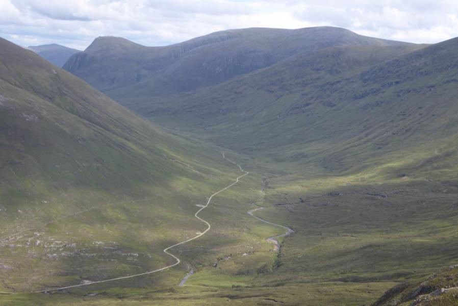
Maoile Lunndaidh, Bidean an Eoin Deirg, Sgurr a' Chaorachain & Sgurr Choinnich from Craig on A890
Maoile Lunndaidh, Bidean an Eoin Deirg, Sgurr a' Chaorachain & Sgurr Choinnich
from Craig on A890 about 10 miles SW of Achnasheen and about the same NE of Lochcarron
Start/Finish
Car park (holds about 10 cars) up a track almost opposite the level crossing at Craig.
Distance/Time
22 km walk + 12 km bike. About 11 – 13 hours.
Peaks
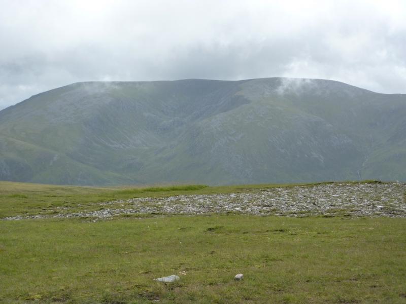
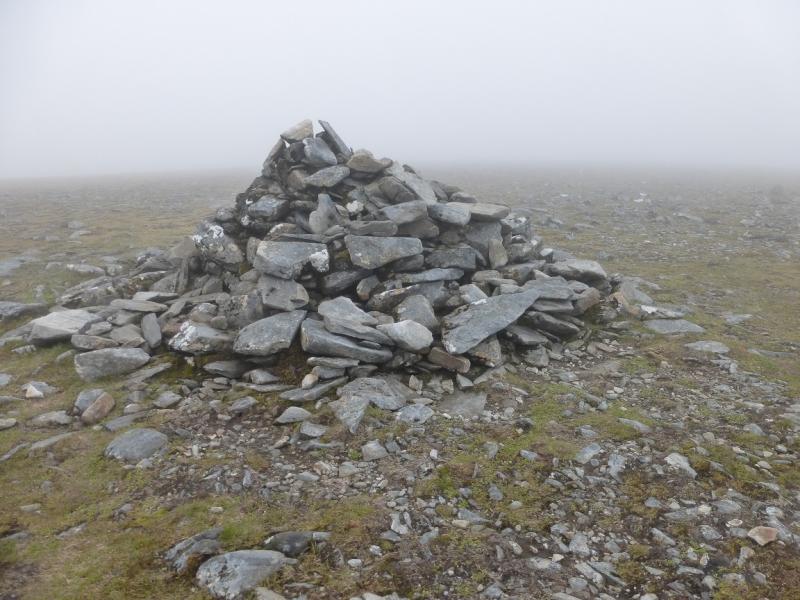
Maoile Lunndaidh, 1007 m, NH 135 458.
Carn nam Fiaclan, 996 m, NH 123 454.
Bidean an Eoin Deirg, 1046 m, NH 103 443.
Sgurr a' Chaorachain, 1053 m, NH 087 447.
Sgurr Choinnich, 999 m, NH 076 446. OS sheet 25.
Introduction
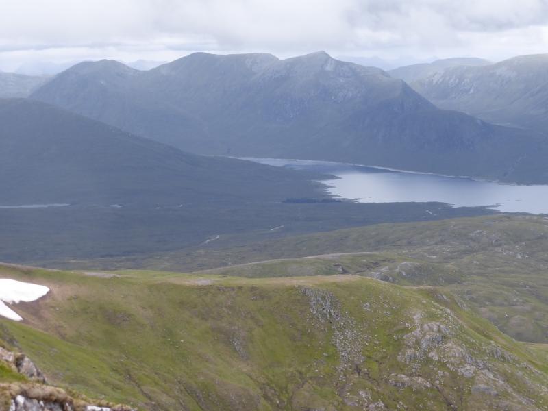
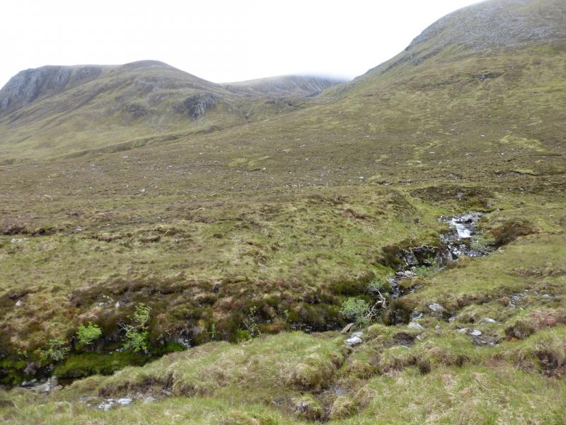
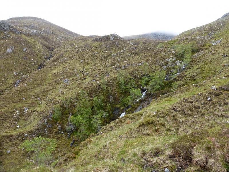
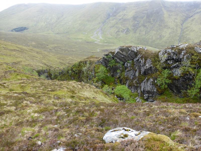
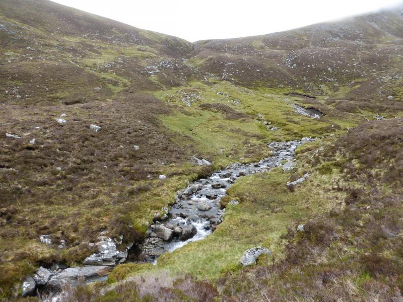
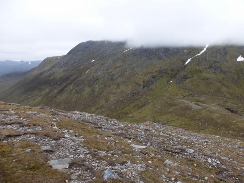
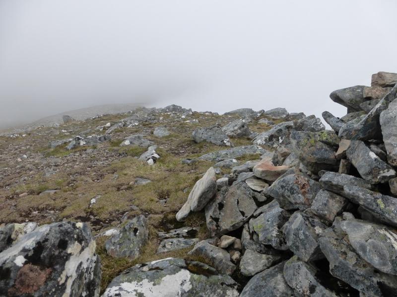
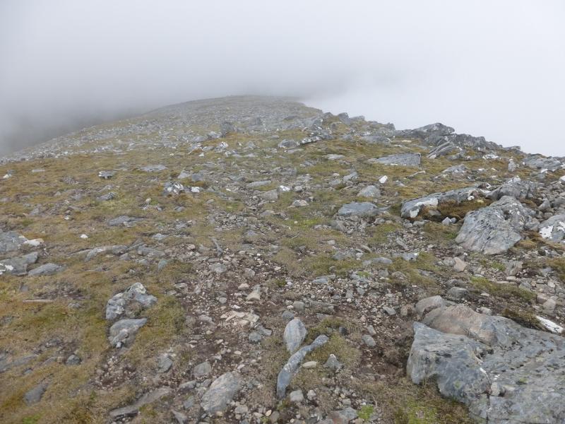
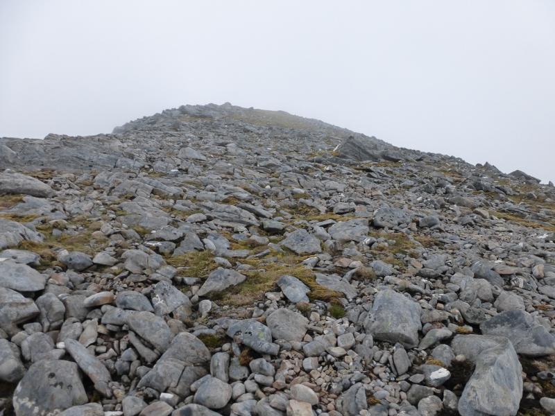
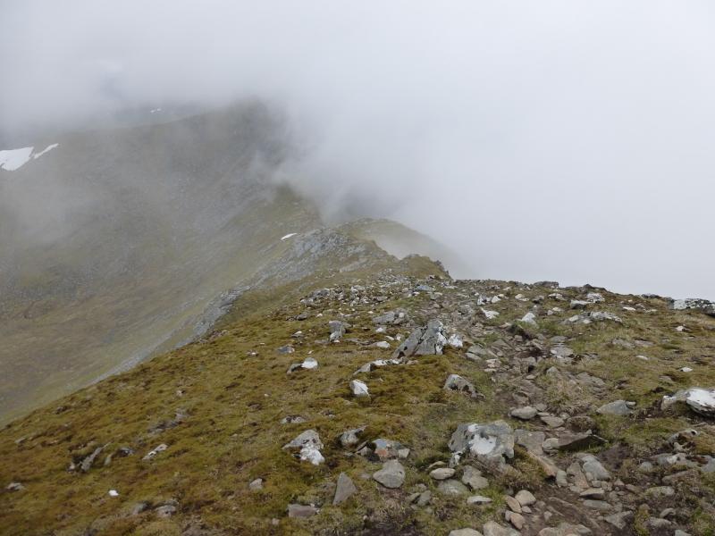
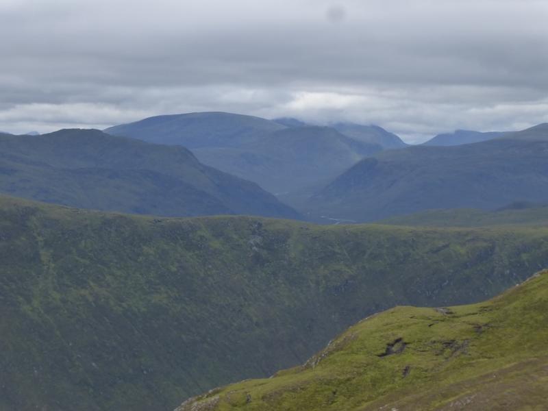
This is a tough walk which is only for the fit and experienced who are competent on steep ground although there is no serious scrambling. There is a large loss of height, about 400 m, between Carn nam Fiaclan and Beinn an Eoin Deirg. There are paths much of the way but they have their boggy sections with some potentially awkward stream crossings. The routes up Maoile Lunnaidh and Beinn an Eoin Deirg are not the ones most commonly used but they avoid any doubling back on the hills. Many miss out Bidean an Eoin Deirg but it is, arguably, the finest hill in the range with its pointed top. The route to its summit is brutally direct and goes up the steep north east ridge but is still only a walk. The descent from Sgurr Choinnich to Bealach Bhearnais has two rock “steps” which are exposed but straightforward in dry summer conditions. On a clear day, the views are superb in all directions. The main river in the Pollan Buidhe has to be crossed on the return and this may be a problem after rain. There is a wire bridge here but the wires lack tension making their use much more difficult. The cycle in is a tough uphill slog but a long freewheeling end to the day on the return.
Route
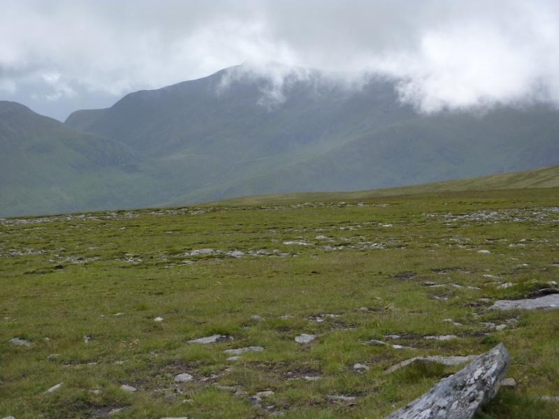
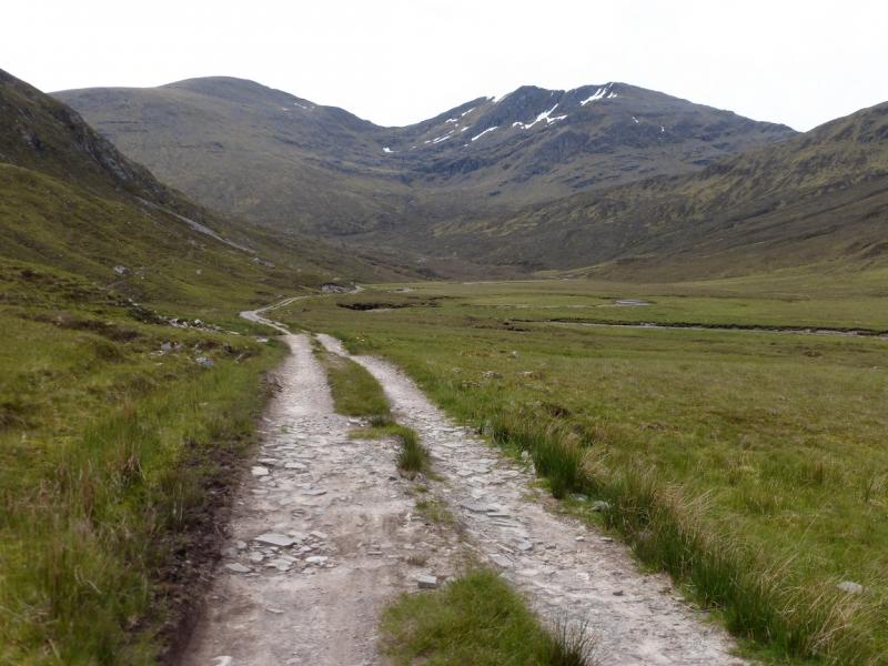
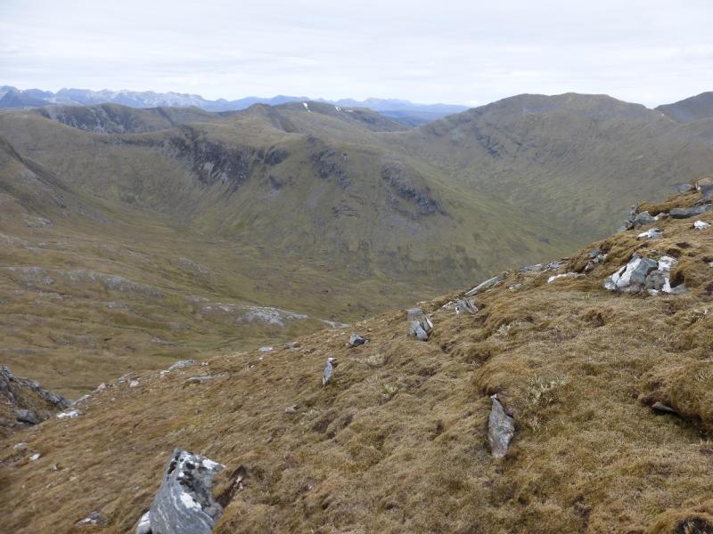
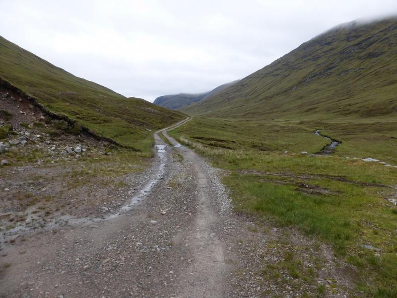
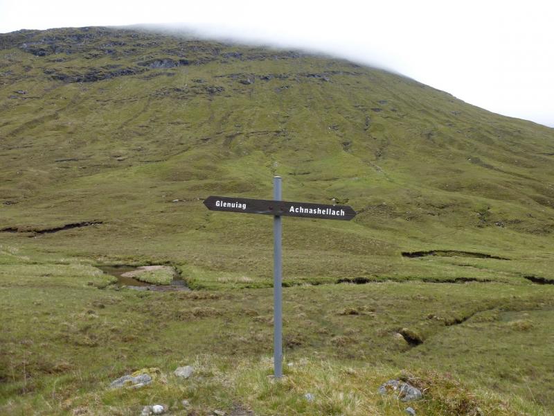
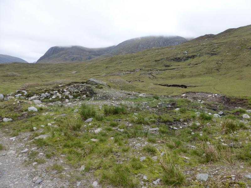
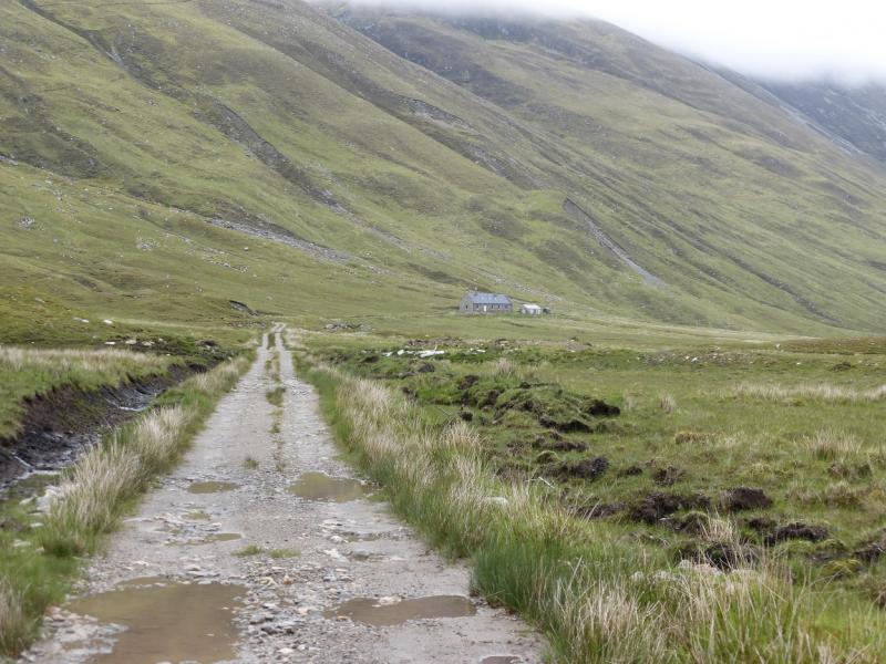
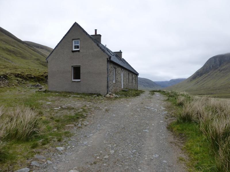
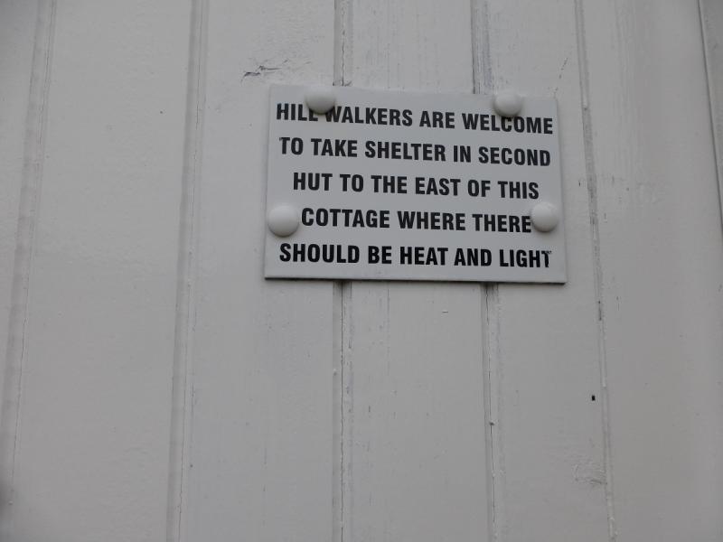
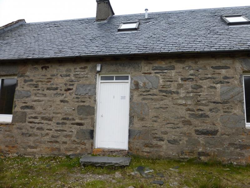
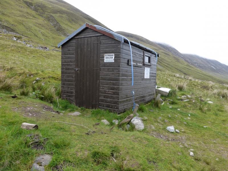
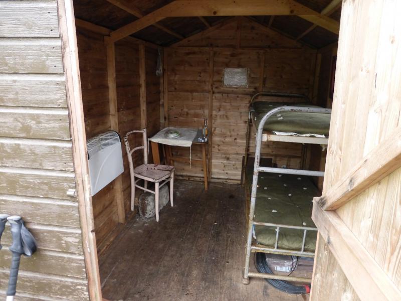
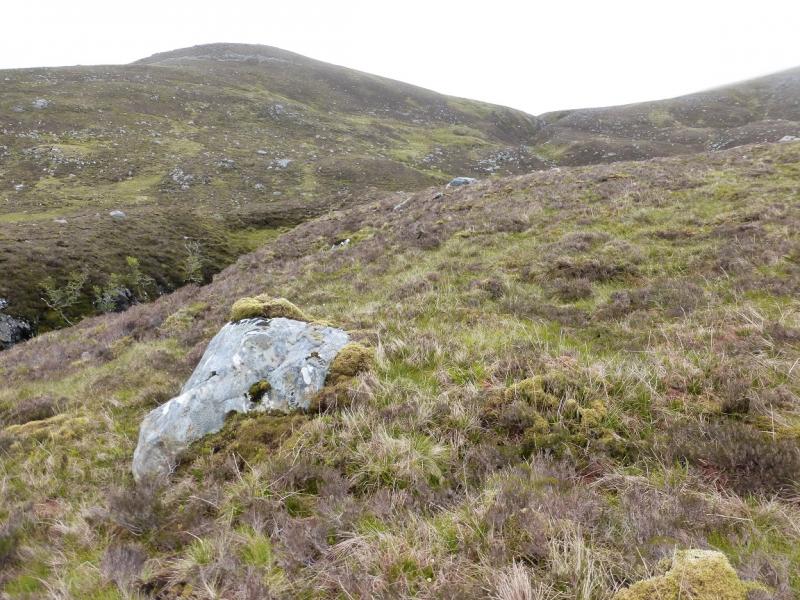
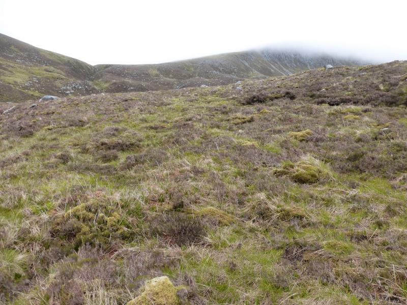
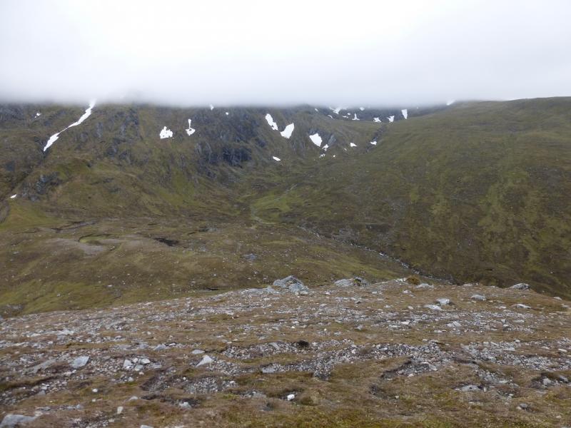
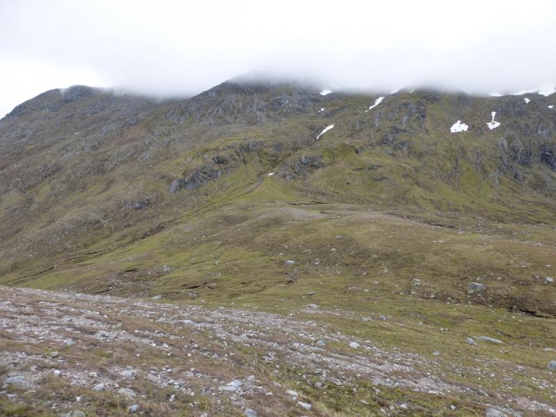
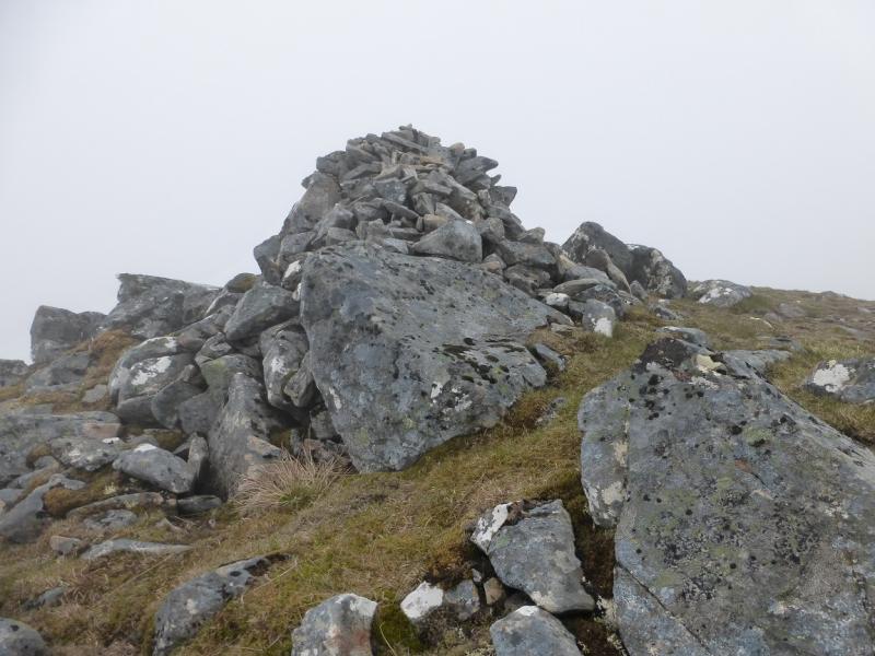
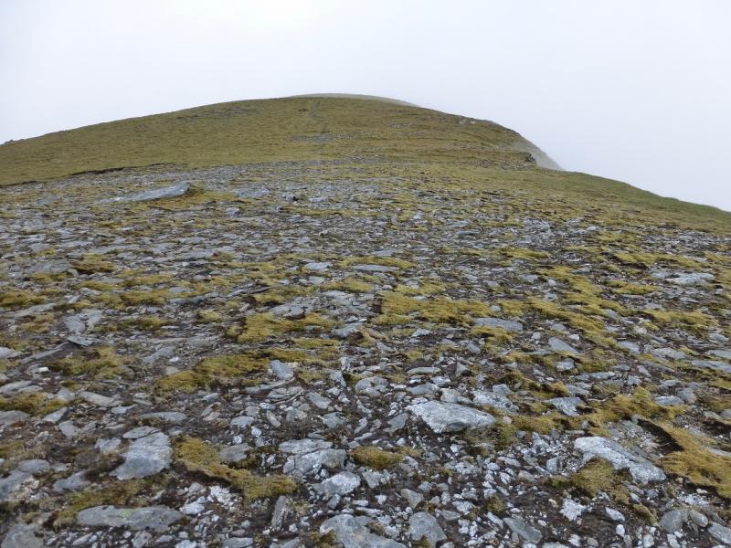
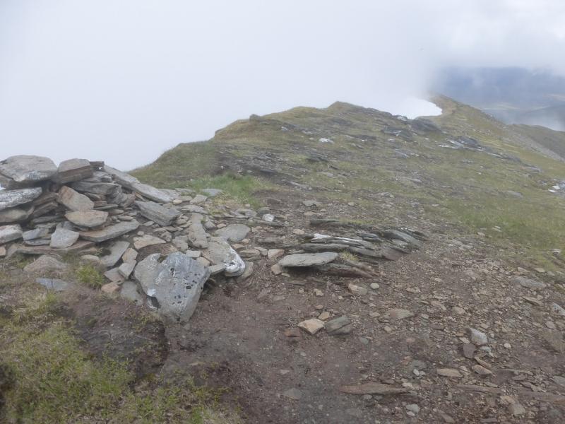
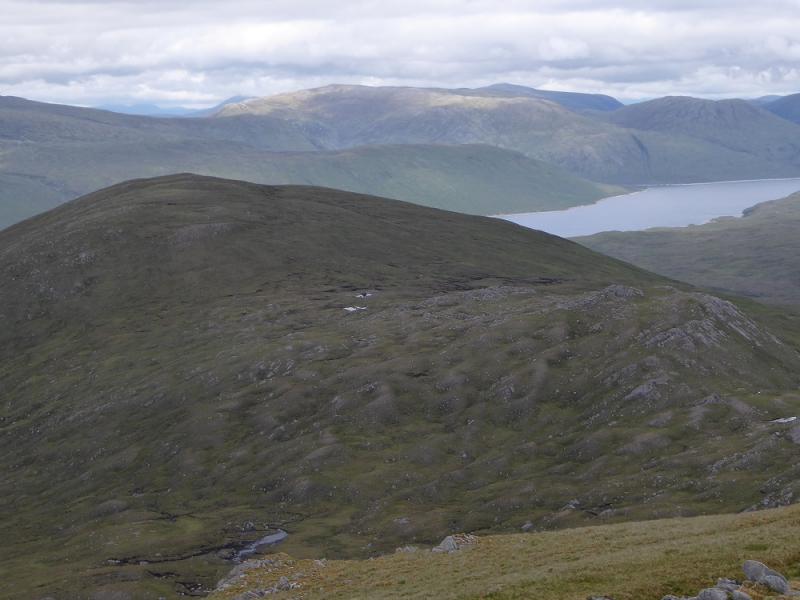
(1) Cross the railway and follow the track E until it swings away from the road and crosses the River Carron by a bridge. Almost immediately, the track splits. Take the left fork which starts climbing straight away. Go up the track, ignoring the right fork after a bout 1 km. Many cyclists will end up pushing rather than cycling owing to the sustained gradient! Higher up, go through a gate. This is almost the top of the climb! Continue on the track as it goes S towards the Pollan Buidhe. After the gate, some sections of path are very rough and stony. When the track swings E, look for a path, marked by a small cairn. Leave bikes here. Continue walking along the track for about another 4 km to reach Glenuaig Lodge which is a fairly ordinary house with an outbuilding and shed. The shed is a shelter with two bunks, a light and a heater which is available to walkers although it might be closed during the stalking season so make enquiries locally if you are planning to use it. Opposite the shelter, a rough grassy track goes SE towards a stream before turning E. Leave this track when it turns E and cross the stream. There is now no path for some distance. Continue, about ESE, to cross the Allt Crom-allt. This is steep sided in places so choose the crossing point carefully. It will be difficult in wet conditions. Contour across the N ridge of Carn nam Fiaclan to meet the stream flowing out of Fuar-tholl Mor, the corrie between Maoile Lunndaidh and Carn nam Fiaclan. This stream is almost in a gorge so stay on its W bank until the stream levels out when it is normally easy to cross. Head E up towards the col between Creag Dhubh Mhor and Maoile Lunndaidh. There is a tributary going to the col and there is a path on its S side which can be followed up for some distance before it fades away. Reach the col then ascend, mainly S, up the NNW ridge of Maoile Lunndaidh. Soon the ground improves but it is moderately steep. There is not much sign of an obvious path. Continue up. When the angle eases, the crest is going SSE and one emerges on a featureless stony plateau, difficult to navigate in mist, where a large cairn marks the summit of Maoile Lunndaidh, 1007 m.
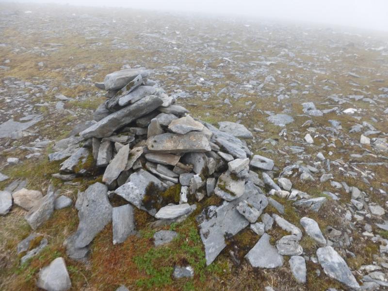
(2) Walk SW, with the summit crest narrowing to reach a shallow dip. A short gentle rise leads to a minor top with a cairn on it after which a short gentle descent, W, leads to the true col. Ascend another short, gentle rise, going WNW, to reach the medium cairn which is the highest point on Carn nam Fiaclan, 996 m.
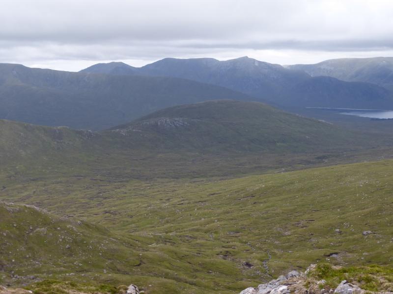
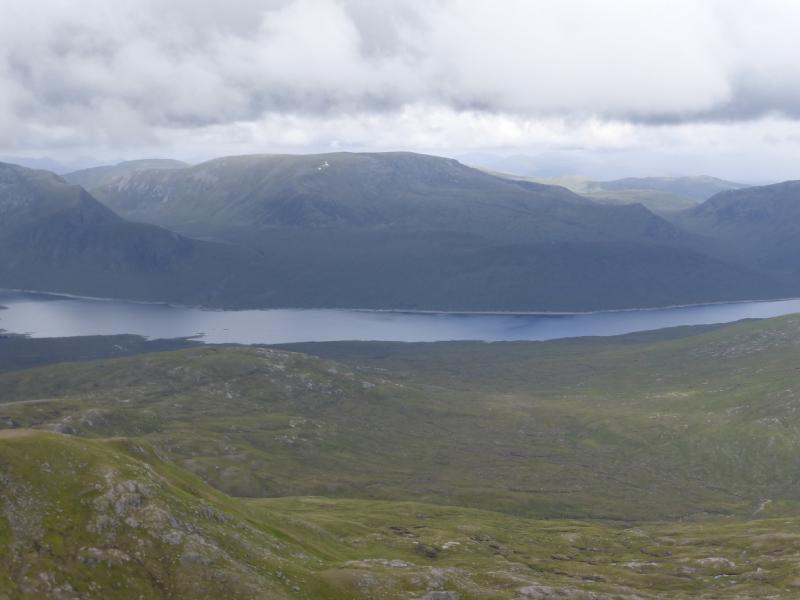
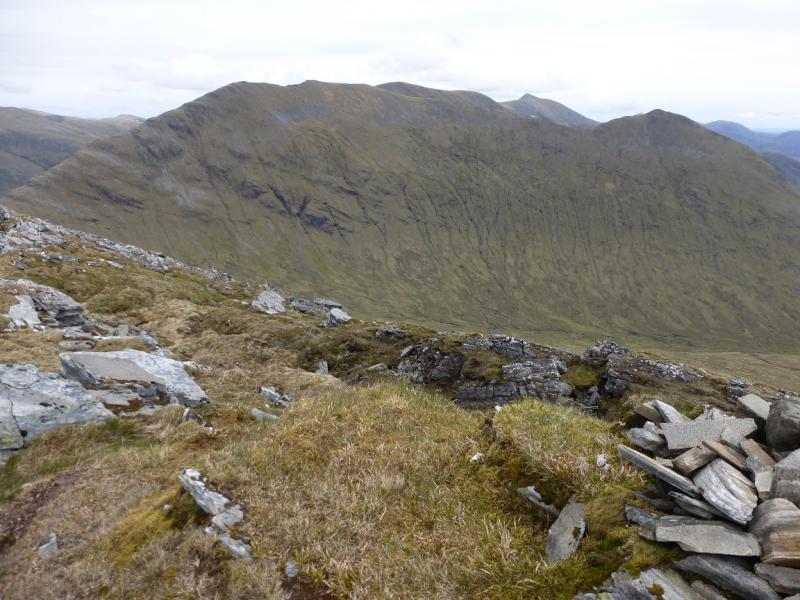
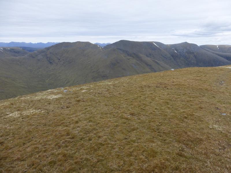
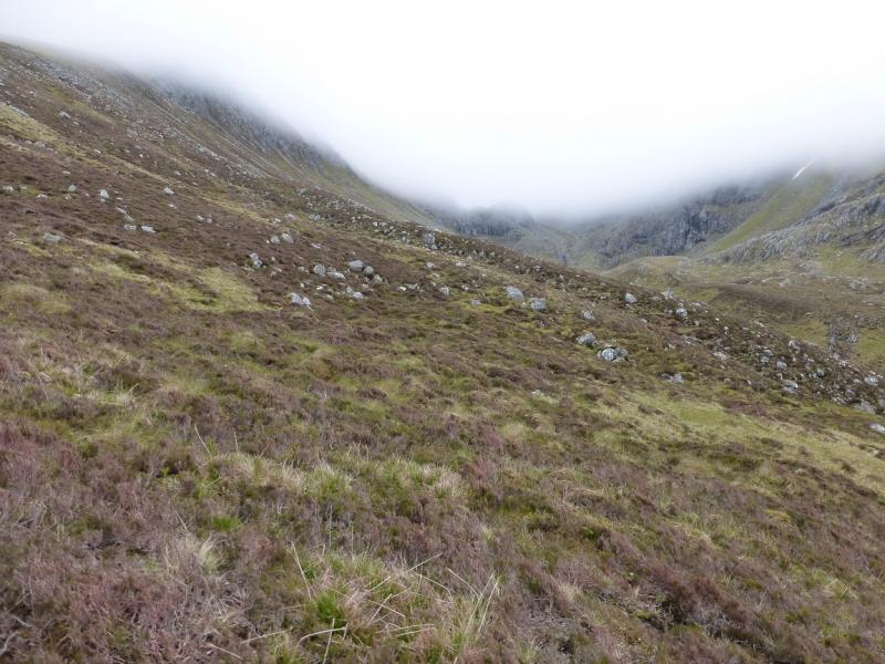
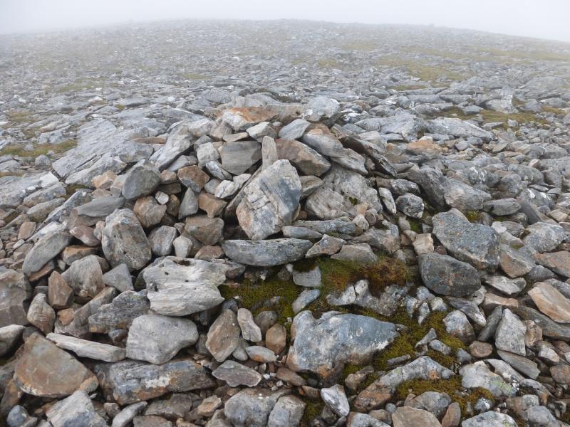
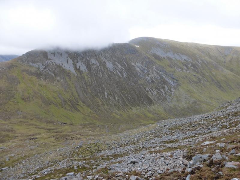
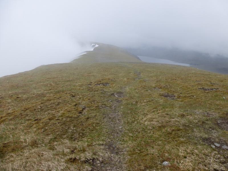
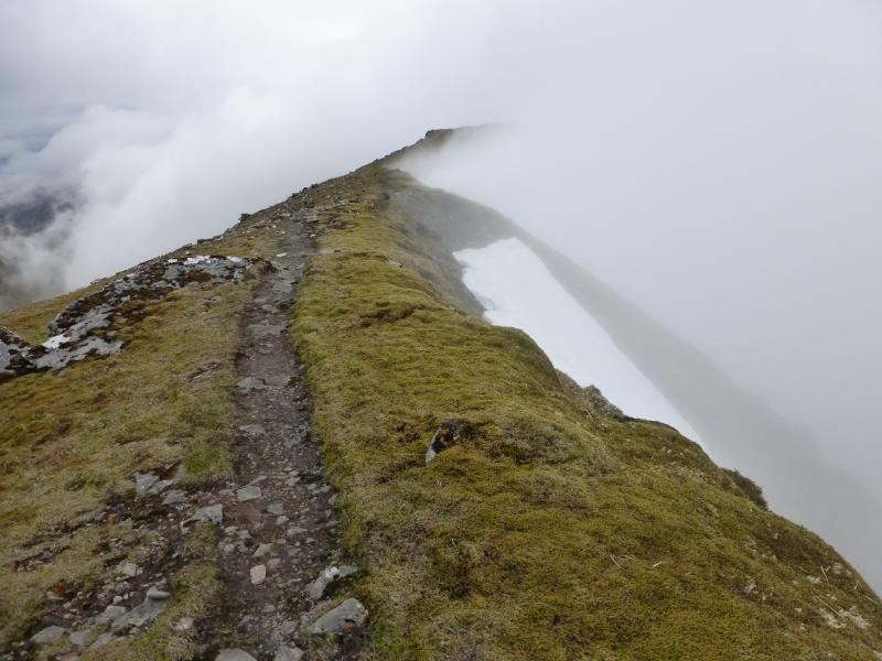
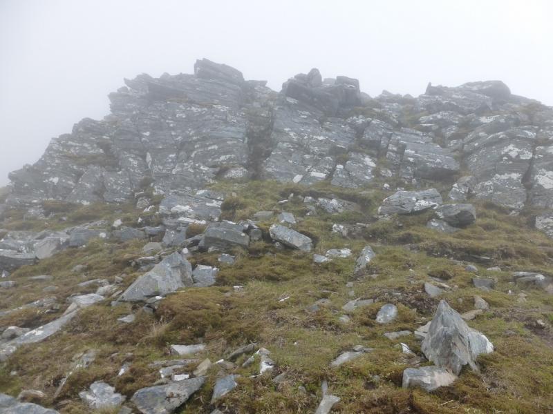
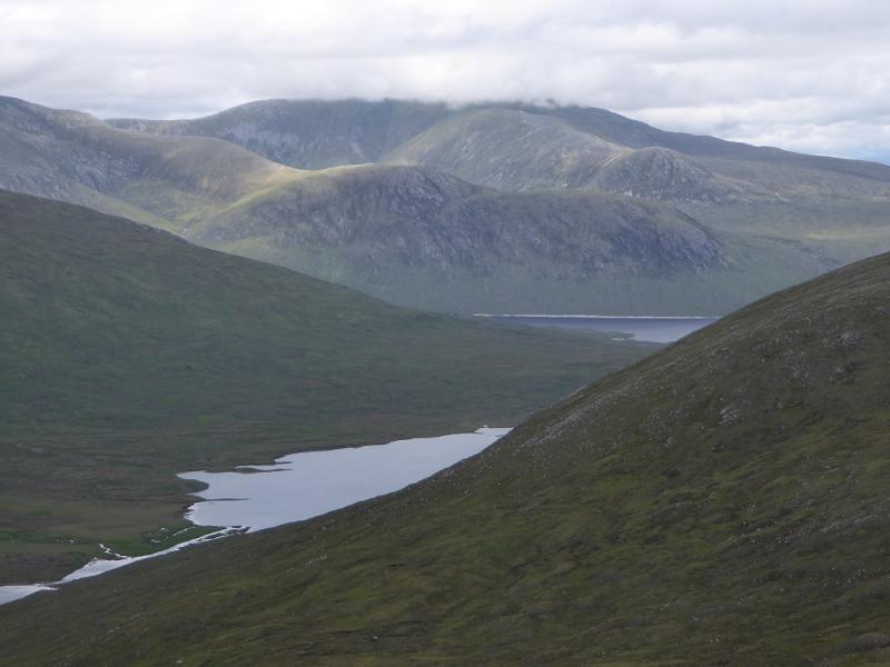
(3) From here, much height is lost and there are a few boulder fields. Descend W, gently, to a shoulder then more steeply to another longer shoulder where the ridge starts to go WNW with a steep drop to the left, SW. There is a path in places and this tends to be towards the left side of this ridge. From this longer shoulder, the path becomes more obvious and goes WNW to the end of the shoulder before descending more steeply W becoming WSW towards the broad col where two locahns are shown on the map. These now seem to be drying up so may not be as obvious as expected although the col should be fairly obvious, even in mist. To the W of the col, the An Crom-allt comes up from Glenuaig, to the N, before turning W and climbing to Lochan Gaineamhach but this is not the way on this route! From the “lochans” in the col, go S and cross the Abhainn Srath Mhuillich which is deep cut in places. Once across, aim to make a rising traverse going left, S ish, to reach the NE ridge of Bidean an Eoin Deirg. The slopes are steep and rocky and much “wandering” around will be needed to find the easiest route but it isn't a scramble although hands may be needed occasionally. The NE ridge will be obvious in clear weather. Once gained, it is very well defined. Lower down, there is a faint path up it. This disappears higher up but the route is obvious. It does get rocky but all difficulties are avoidable, usually on the right, just below the crest. It is a strenuous ascent of about 450 m but, eventually, one “tops out” at a medium cairn which is the summit of Bidean an Eoin Deirg, 1046 m. On a clear day, you will be rewarded with superb views across Loch Monar to Lurg Mhor.
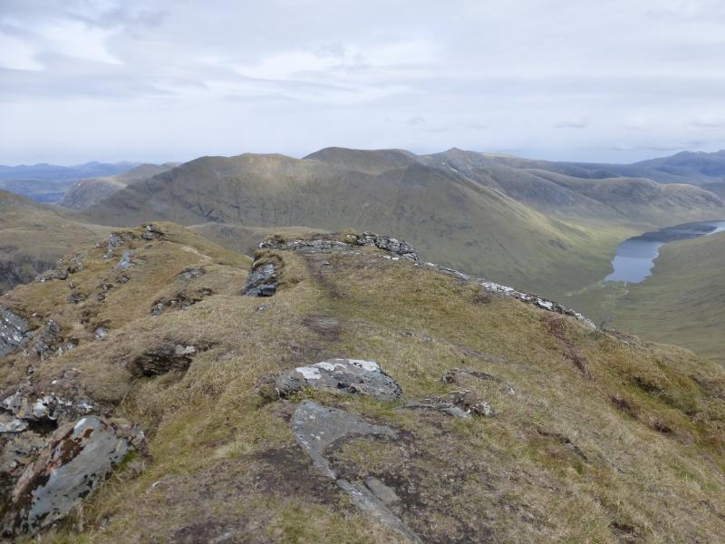
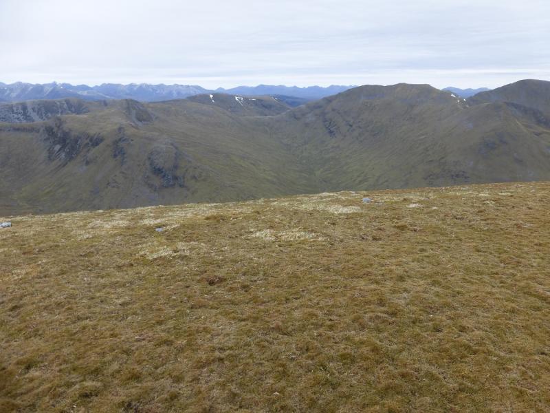
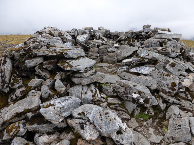
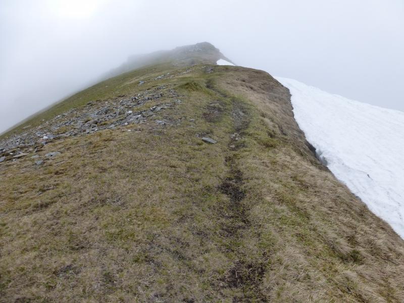
(4) Descend NW along a narrow ridge, with steep ground to the right, where the path is on the right but not always obvious. Reach a col where the ridge continues up to a minor top before turning mainly W over almost level ground for 1 km to reach the large shelter cairn with the remains of a trig point inside which is the summit of Sgurr a' Chaorachain, 1053 m. This is the highest point on the walk.
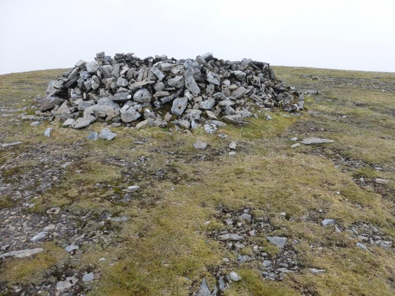
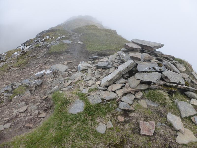
(5) From the summit, descend WSW, on a path (not immediately obvious) which soon goes down a very well defined ridge to reach a very small col. Continue up the other side. The path goes to the left of the crest then climbs back on to it later. Once back on the crest, go mainly NW to reach the medium cairn which is the summit of Sgurr Choinnich, 999 m.
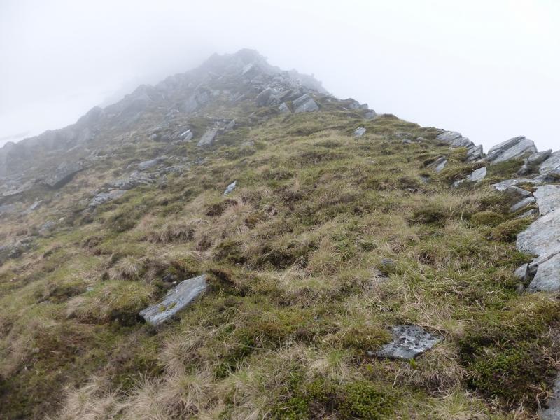
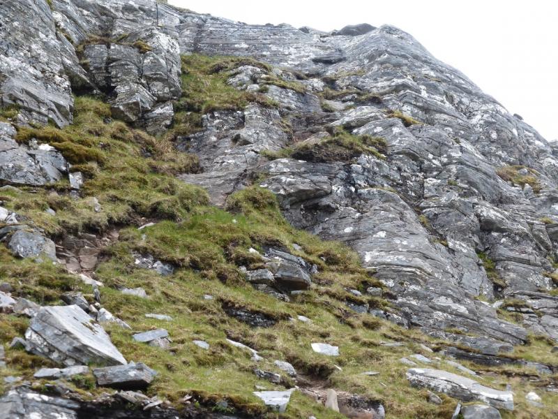
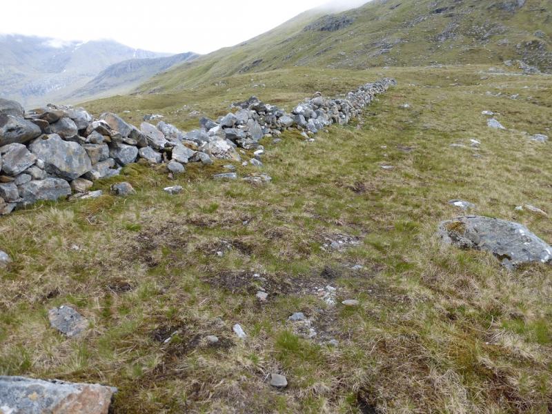
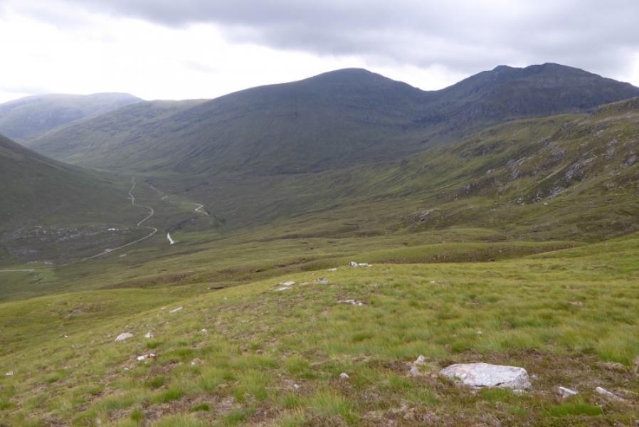
(6) Descend the W ridge on a fairly obvious path. Reach the first rock step which is short and fairly straightforward. Continue easily after wards to reach the second rock step which is longer and follows a wide groove down a craggy face. It looks worse than it is! Continue easily to the Bealach Bhearnais. In mist, look for a short wall and follow it to its end. The path starts just before the ascent of Beinn Tharsuinn and goes N then NE, soon becoming very obvious. Many make the msitake of trying to cut the corner and end up on steep ground. Follow the path down to the Pollan Buidhe and the river crossing near to the “dodgy” wire bridge. Once across, follow the path, over some wet ground, for about 400 m to reach the Glenuiag track where you might have left a bike. Retrace the track to the start.
Notes
(a) This walk took place on 23rd June, 2015, and twice previously.
(b) For those worried about river crossings, one solution is to carry some very lightweight sandals (to protect your feet against rocks on the river bed) and a very small towel. This will allow slow flowing rivers up to about 40 – 50 cm deep to be crossed in relative safety but only you can make that judgement!
(c) For the rock steps on the descent of Sgurr Choinnich, it is easier to face the rock as if climbing down. Poles will need to be thrown down ahead or collapsed and stored in your sack pockets. A wise party will send their best “climber” down first to give encouragement, with route finding advice, to those less used to such situations!
Photos - Hover over photo for caption. Click on to enlarge. Click on again to reduce.