Get Lost Mountaineering
You are here: Scotland » 01 South of Oban to Stirling and Fife » Ben Lui Range to Crianlarich
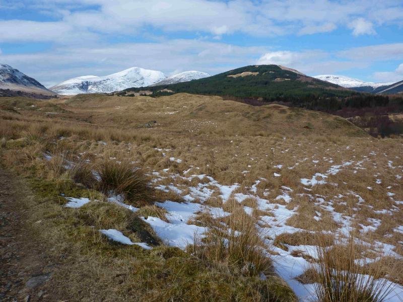
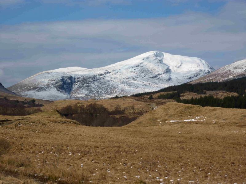
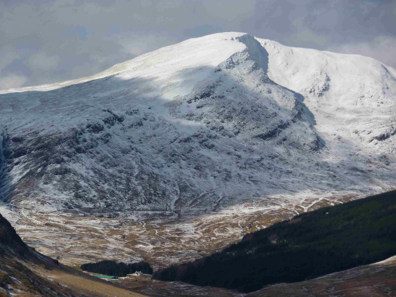
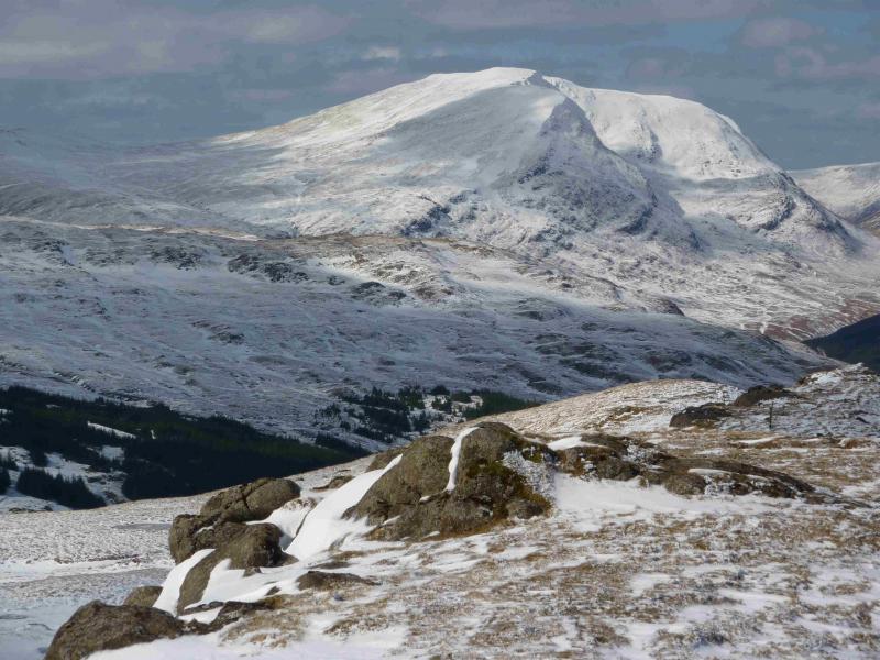
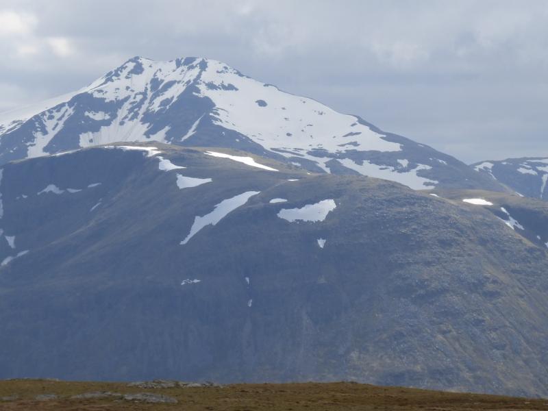
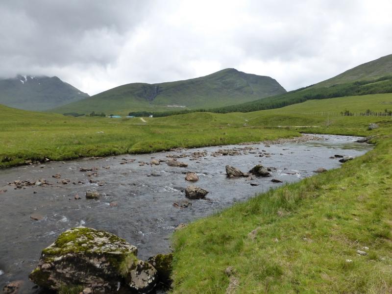
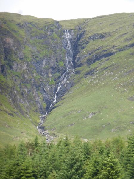
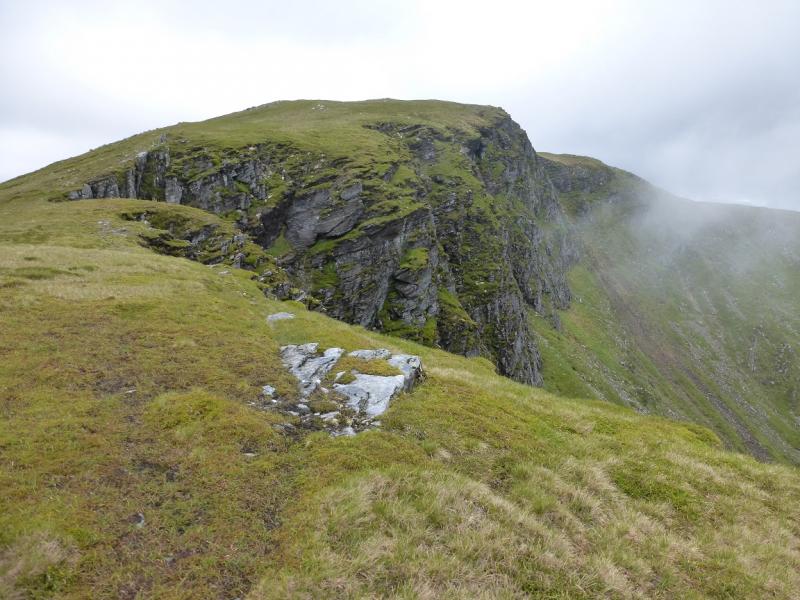
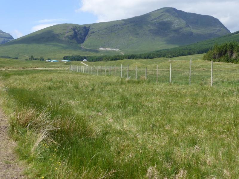
Beinn Chuirn from Dalrigh near Tyndrum
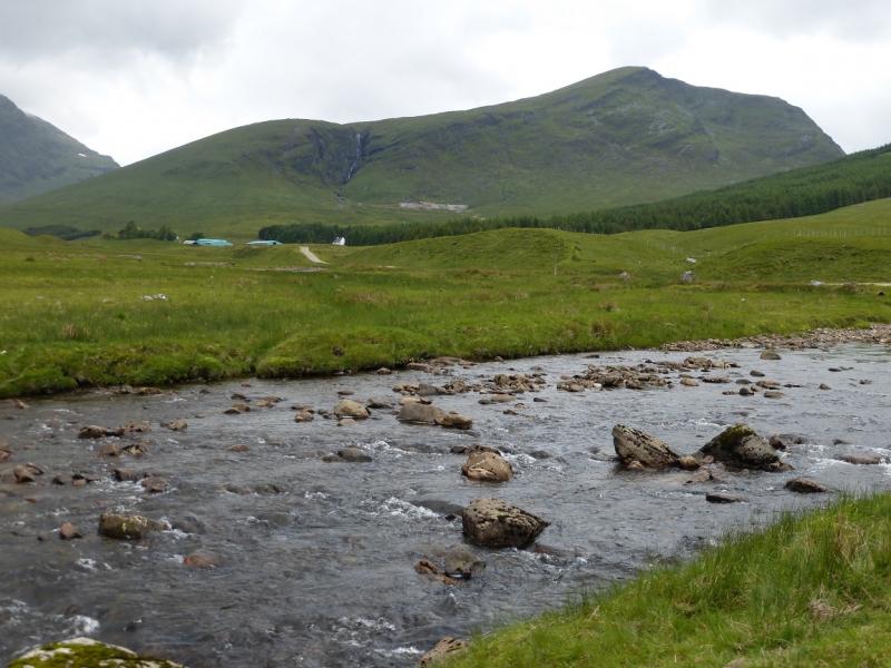
Beinn Chuirn from Dalrigh near Tyndrum
Start/Finish
Dalrigh car park which is about one mile south of Tyndrum on the A 82. Dalrigh is clearly signed from the main road. The car park is free and fairly large although as it lies on the West Highland Way and is the usual starting point for Ben Dubchraig, Ben Oss and Ben Lui, it can be quite busy.
Distance/Time
15 km About 5 – 6 hours
Peaks
Beinn Chuirn, 880 m, NN 280 292. OS sheet 50.
Introduction
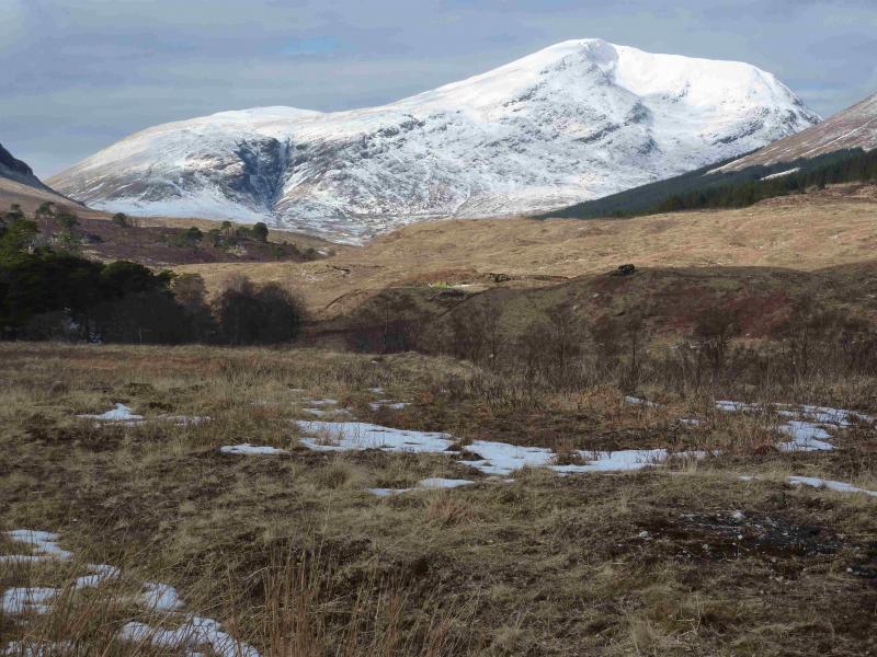
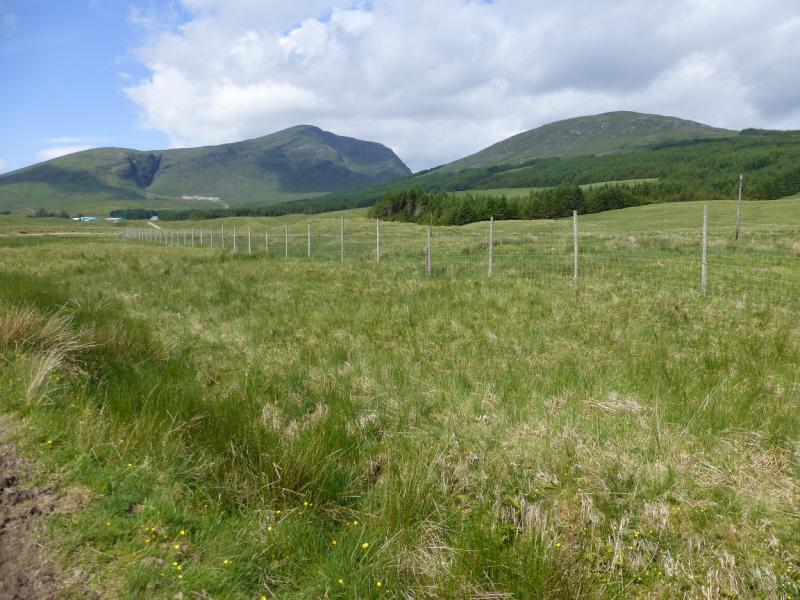
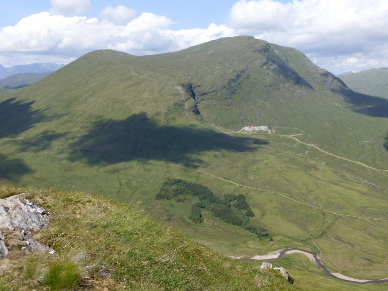
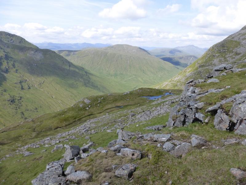
Beinn Chuirn is a high Corbett very much in the shadow of Ben Lui. It offers excellent views of Ben Lui, Beinn Oss and Beinn Dubhchraig plus the hills across Glen Lochy and those further afield. The approach by the Cononish track is scenically pleasant and it would be possible to cycle up this track to the foot of the hill. Sadly, the ascent of the hill itself is an unrelenting slog up steep and pathless grassy slopes. It is also scarred on its Cononish side by the recently opened Gold Mine.
Route
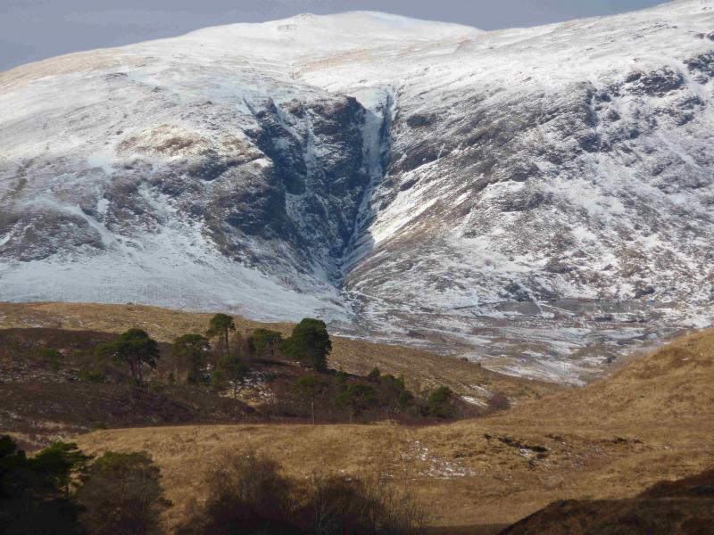
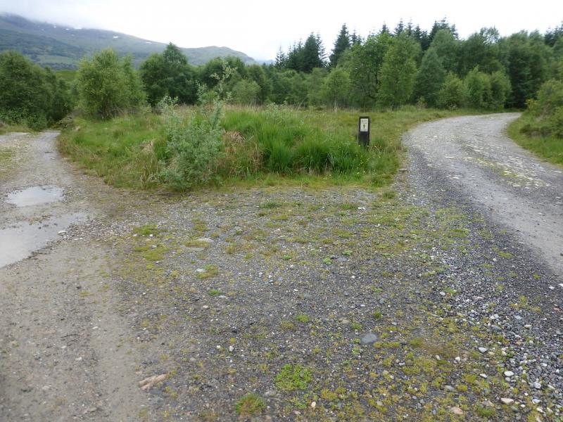
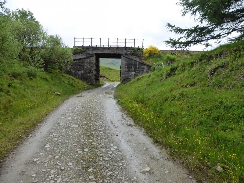
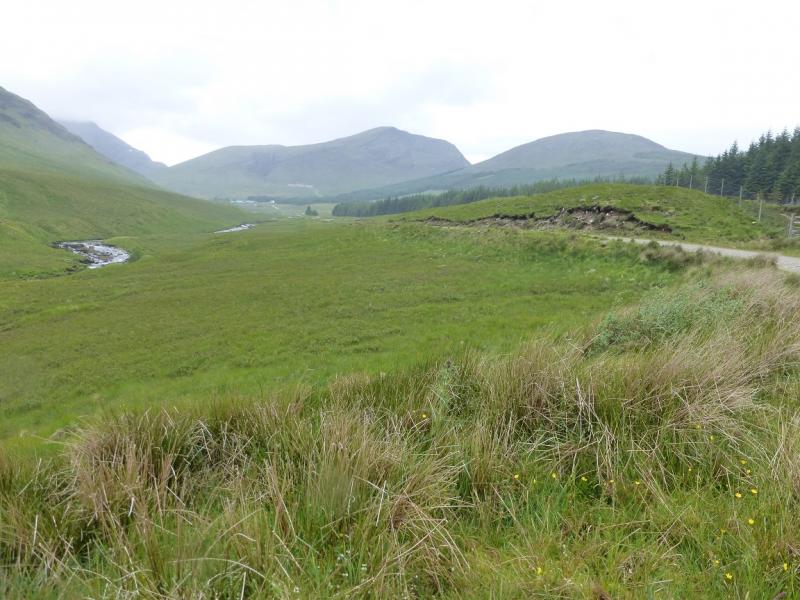
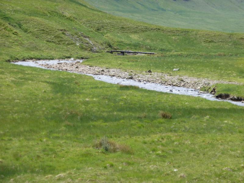
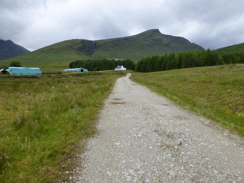
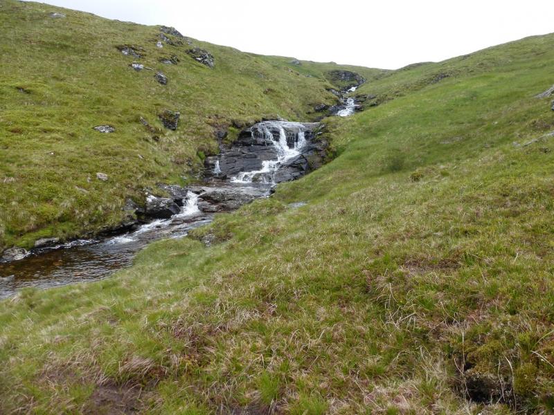
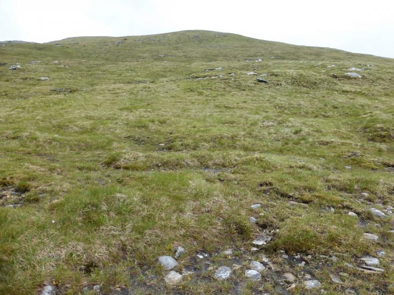
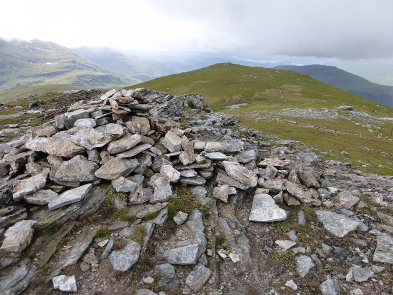
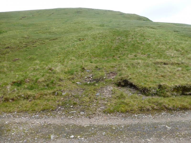
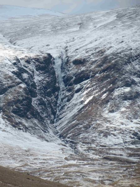
(1) Walk out of Dalrigh car park as if returning to the main road then take the first left which immediately splits into two forks. Take the right fork not the one on the left for the Old Church. Follow the right fork which is the Cononish track. There are some helpful signs for Ben Lui NNR along the way. The track crosses a river then passes through a wood where the signed West Highland Way splits off right. Continue and soon reach open ground with the Cononish River on the left. Continue to Cononish, about 4 km from Dalrigh. The track deteriorates after Cononish but is still good enough to cycle. Continue further, for about 5 minutes after the last gate gate, until the track levels out. Opposite a small flat area on the left, an obvious ATV track heads uphill. It soon fades but it gives a reasonable start. After that, just pick the best way up. There are only faint and short hints of a path. The best line seems to be to drift to the right and follow the edge up. The ground can be wet and boggy in places and a few streams will be crossed including the one that feeds Eas Anie – the obvious waterfall seen from Glen Cononish. There is a path when the lip of Coire Saobhaidhe is reached which is not far below the summit. Continue up along the edge of the impressive corrie rim. A line of old fence posts will come in from the right and these pass very close to the medium cairn which marks the summit of Beinn Chuirn, 880 m. The fence posts continue to a lower cairned summit about 200 m further.
(2) Return the same way.
Notes
(a) This walk took place on 29th June, 2015, and about 15 years earlier.
Photos - Hover over photo for caption. Click on to enlarge. Click on again to reduce.