Get Lost Mountaineering
You are here: Scotland » 03 North-west Argyll, Appin and Glencoe » Ballachulish & Connel to Loch Etive
Beinn Mheadhonach
Beinn Mheadhonach
from the junction of the Barcaldine Road and the Bonawe Road on the N side of Loch Etive
Start/Finish
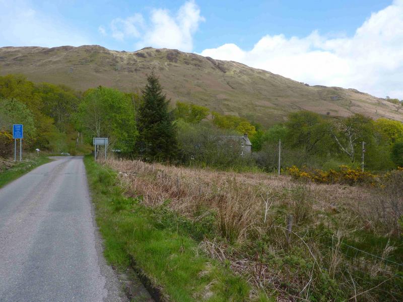
Parking is very limited and lorries laden with stone from the Bonawe quarry regularly “thunder” down it so make sure any vehicle is well off the road and not in a passing place. The best place to park seems to be in the very wide entrance almost opposite where the road to Barcaldine goes off left. The actual walking route goes through the first metal gate on the left which is only about 500 m further along the road towards Bonawe. From the south (Oban/Connel/Dalmally), cross the Connel Bridge (going N) then take the first left along the N side of Loch Etive for about 6 miles to the junction with the Barcaldine road. From the north, (Ballachulish) fork left on to the minor road at Barcaldine, which is about 2 miles S of the Loch Creran Bridge, and follow it for nearly 5 miles to the junction with the Bonawe road. Note that this road may not be passable in winter conditions in which case the Bonawe road must be used.
Distance/Time
9 km About 4 - 5 hours.
Peaks
Beinn Mheadhonach, 714 m, NN 019 369. OS sheet 50.
Introduction
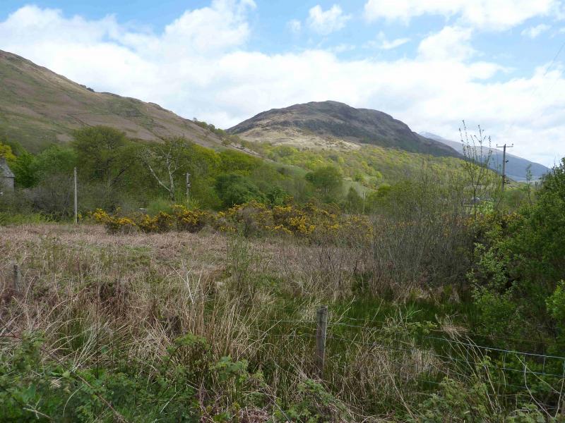
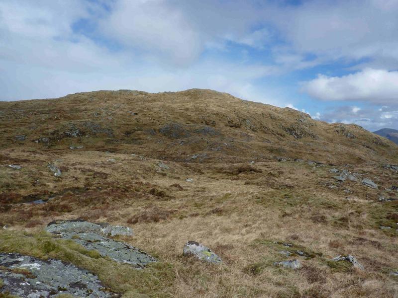
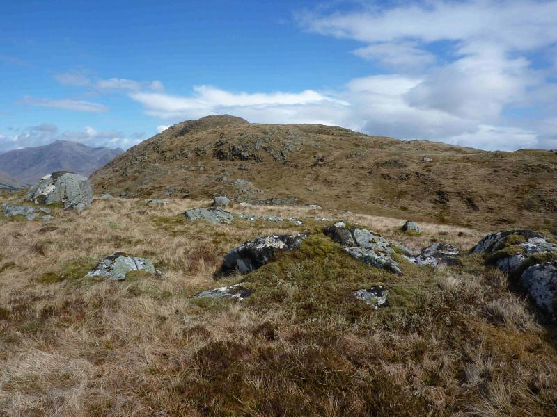
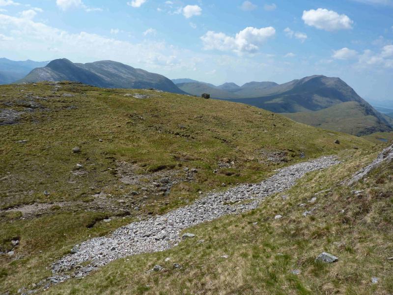
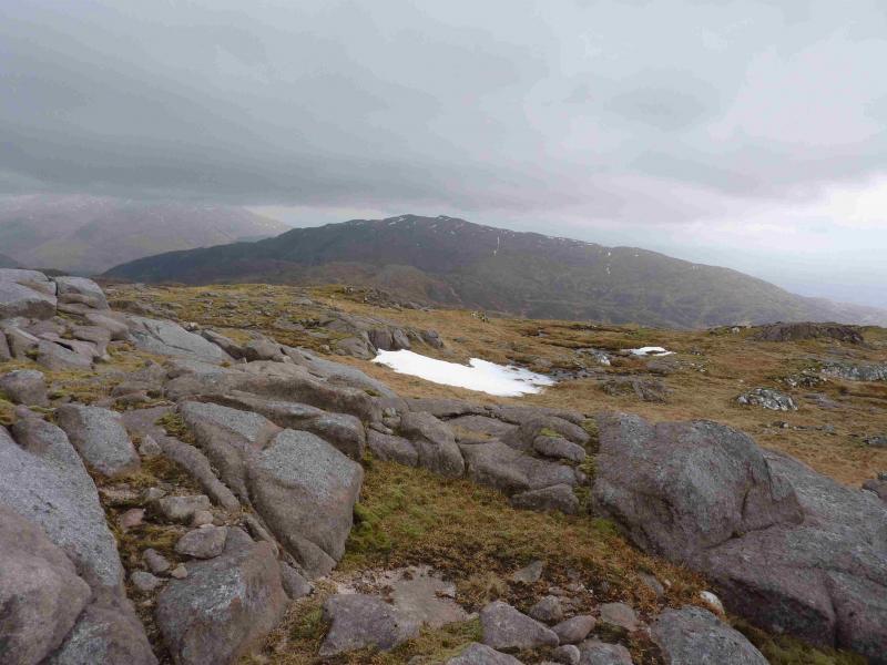
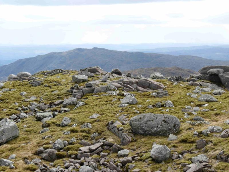
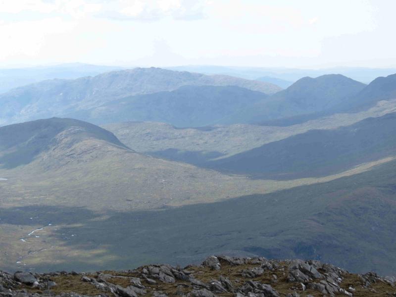
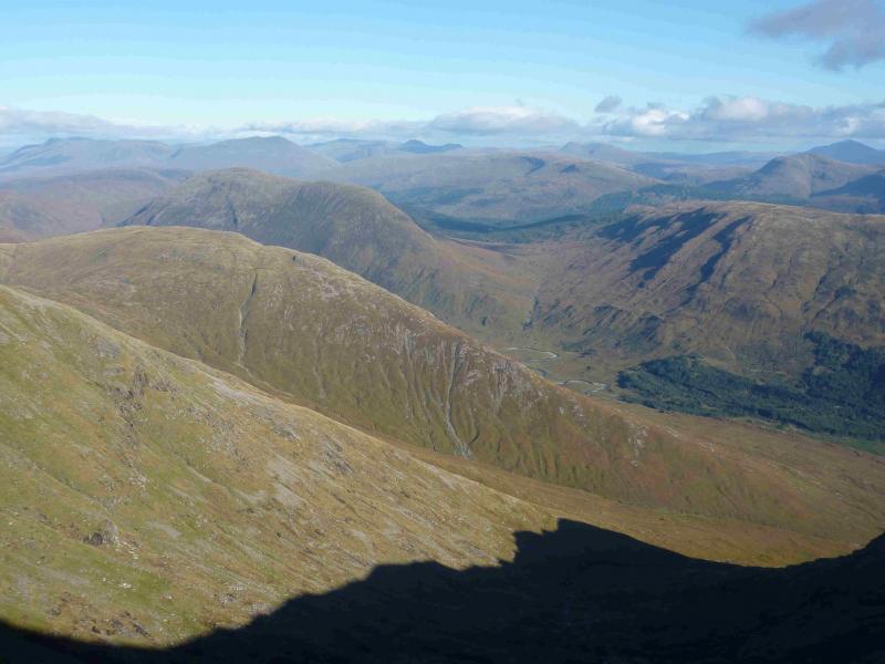
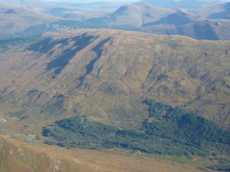
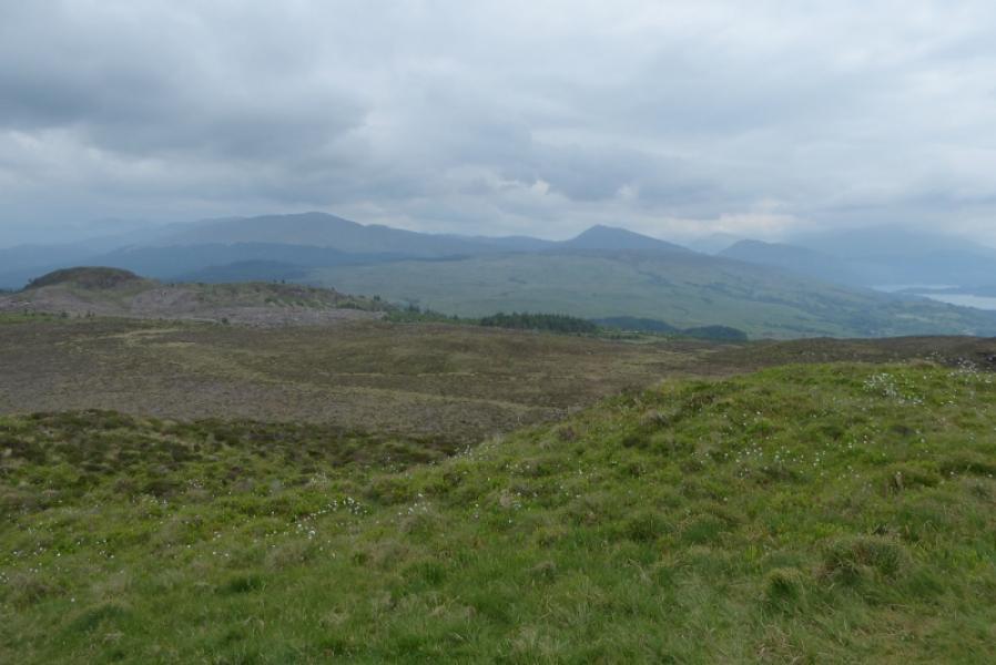
This is quite a strenuous walk, from sea level, with much rough walking over quite complex and mainly pathless terrain which is difficult to navigate in mist and harder still in mist and snow. On a clear day there are excellent views to the Ben Cruachan range, Beinn a' Chochuill & Beinn Eunaich, the Ben Starav range across Loch Etive and to Beinn Trileachan. There are good views also to the Grahams of Beinn Bhreac & Beinn Molurgainn, the Corbett of Creach Bheinn and to Beinn Sgulaird. Ben More, on Mull, can also be seen. It should be noted that the lower slopes of this hill are densely populated by ferns during the summer months. Now and then, there are faint paths which would soon be obliterated by light snow. Note that there is a small false cairn about 1 km before the summit which might be confusing in thick mist. One unexpected bonus in the area is the Falls of Lora. This is situated underneath Connel Bridge and is a rare tidal waterfall which can only be seen for a short time when the tide is going out.
Route
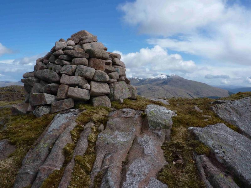
(1) From the junction, walk about 500 m further along the road to Bonawe. A new bridge is crossed with the old stone one on the left. There is a high embankment on the left of the road with a high deer fence. Not long after, this descends to the road, and about 500 m from the junction, go through a metal gate into an open grassy field. Walk diagonally right to go through another gate then turn left and through another. Now head uphill on a sort of path. A wall is soon reached but there is a gap just to the left of a slabby outcrop. From here, there seems to be a path heading up but it soon peters out. Well over to the right is a large, wide and open gully and one needs to reach the top of this by either going ahead on to the crest then E or making an ascending traverse NE. There is a fence, over to the right, which may be the same fence as at the top of the gully but this has not been verified on the ground. The top of the gully is, effectively, a wide shallow bealach with a fence running through it (roughly N-S). Go through the gate in the fence. The route ahead is steep grass but ascendable. However, a rough track goes from the gate, keeping to the right, S, of the crest which makes the climbing easier. The track peters out on a level section so head N up on to the ill-defined crest which roughly runs E-W but would be difficult to navigate in thick mist. There is a small, false cairn on the N side of this ridge about 1 km before the summit and considerably lower in height. Quite a few dips in the ridge are crossed. The last dip is noticeably more rocky and, on the other side, a more defined rockier ridge leads to the medium cairn, on a small outcrop, which is the summit of Beinn Mheadhonach, 714 m. In the absence of snow, a faint path should be picked up before the last rocky dip and this leads to the summit.
(2) Return by the same route. In mist, care will be needed on the featureless ground where it would be very easy to drift off course. In clear weather, there are no navigational issues. One can, more or less, aim for Connel Bridge.
Notes
(a) This walk took place on 2nd June, 2005 and 15th May, 2012.
Photos - Hover over photo for caption. Click on to enlarge. Click on again to reduce.