Get Lost Mountaineering
You are here: Scotland » 01 South of Oban to Stirling and Fife » Arrochar Alps
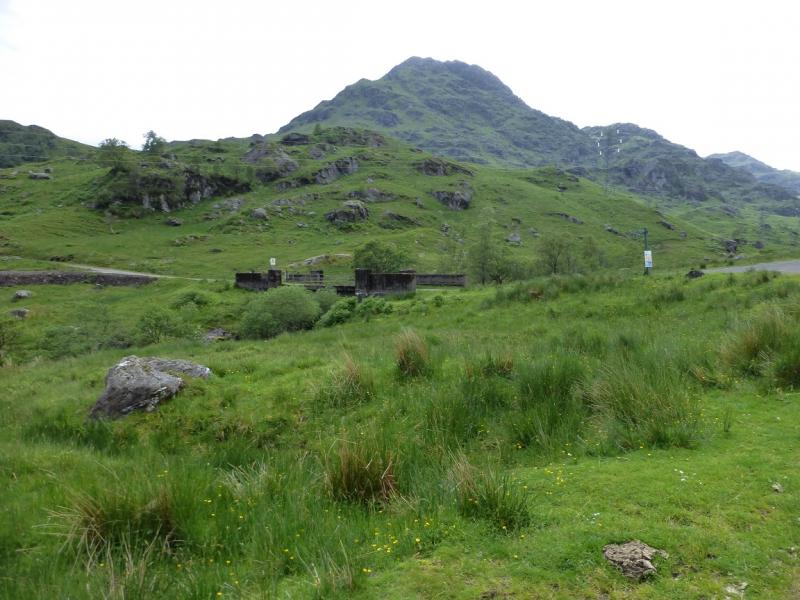
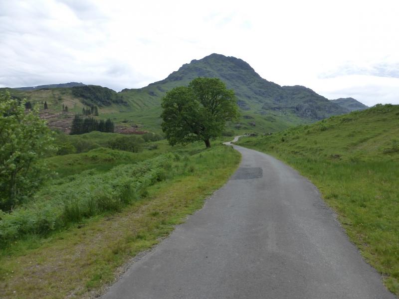
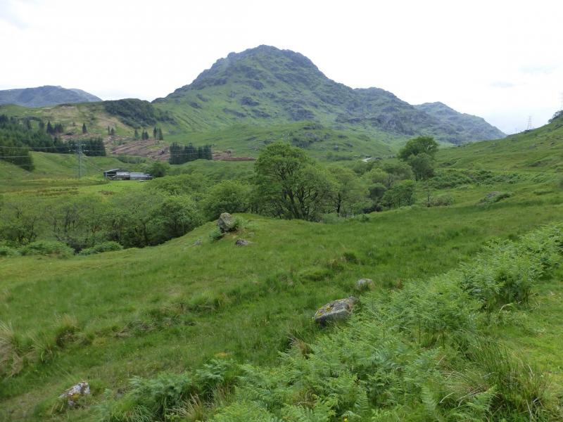
Ben Vane from Inveruglas
Ben Vane from Inveruglas
Start/Finish
Inveruglas on the A82 between Tarbert and Ardlui by Loch Lomond.. There is both short and long term parking which was free on 30/6/15. There are toilets and a cafe. The A82 is the road alongside Loch Lomond from Crianlarich to Glasgow.
Distance/Time
14 km of which about 8 km can be cycled. About 5 - 6 hours.
Peaks
Ben Vane, 915 m, NN 277 098. OS Sheet 56.
Introduction
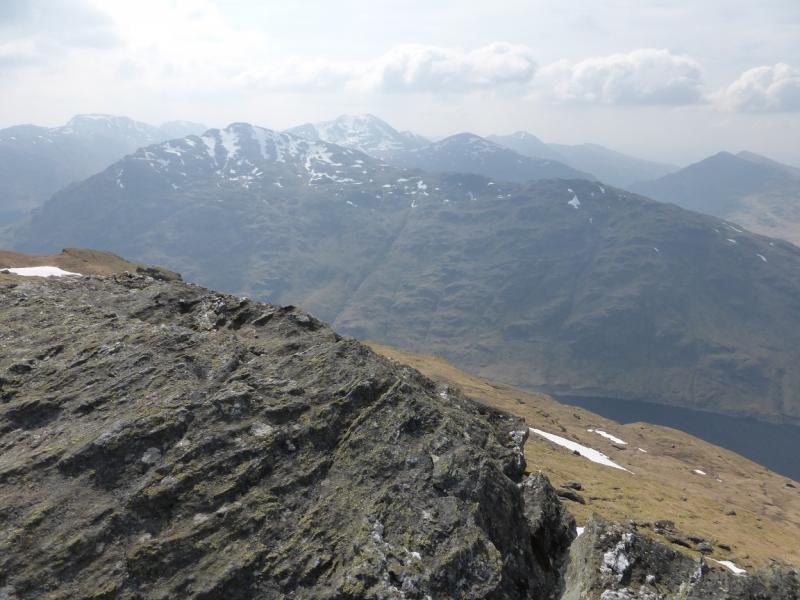
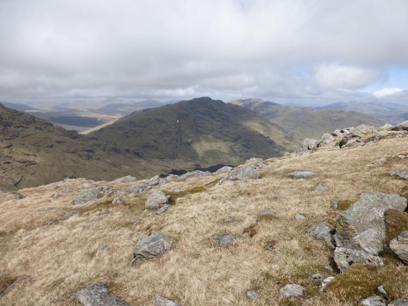
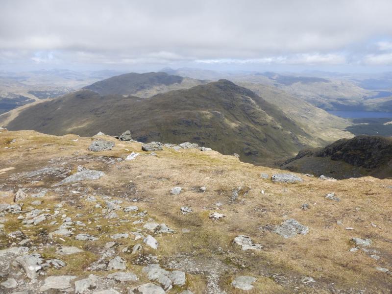
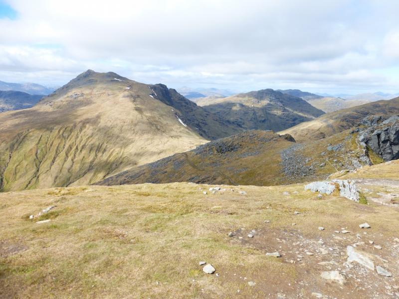
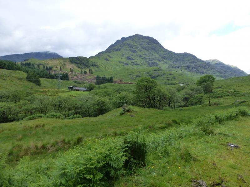
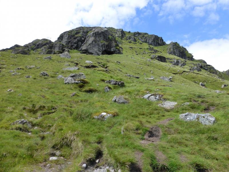
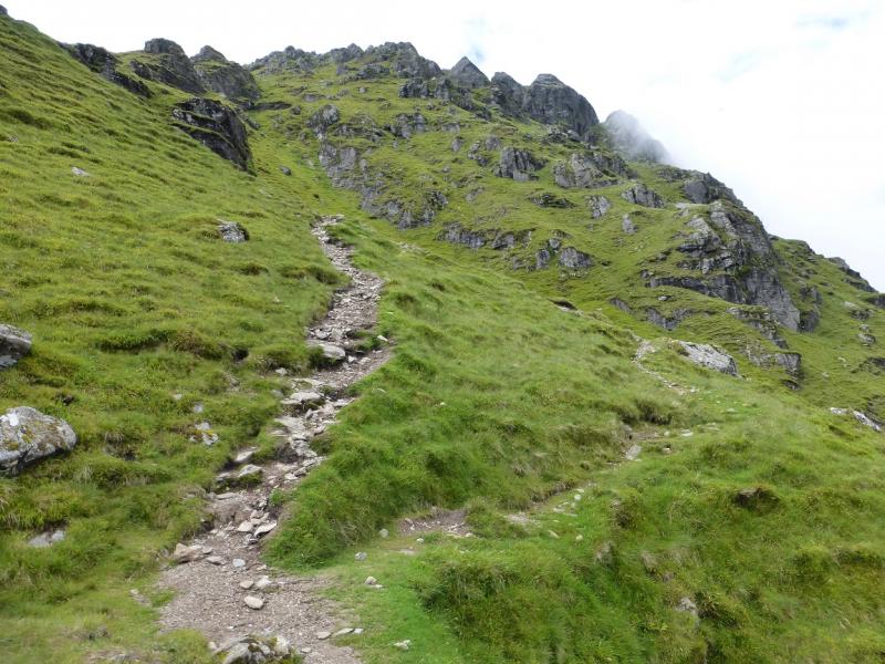
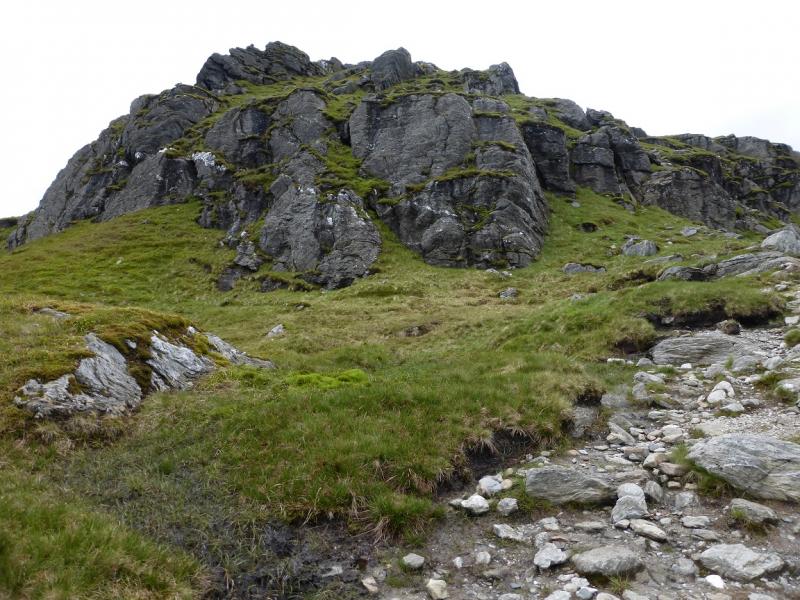
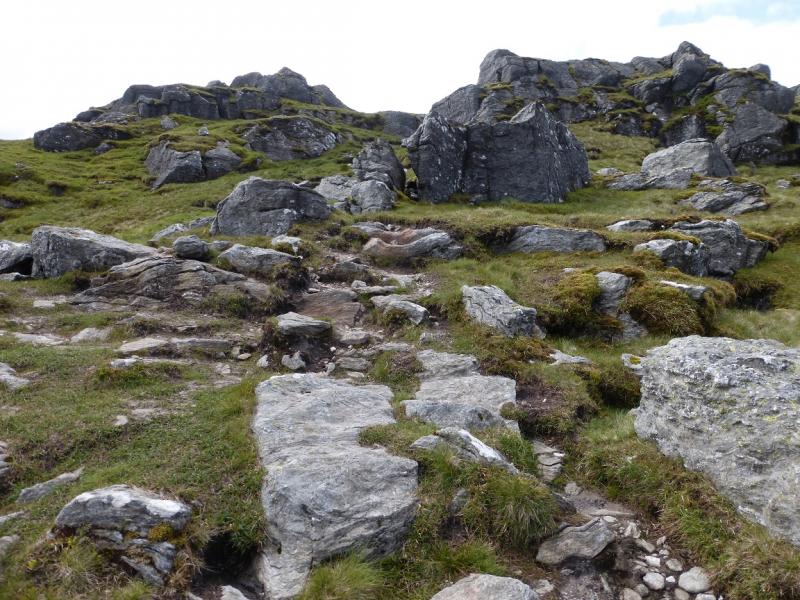
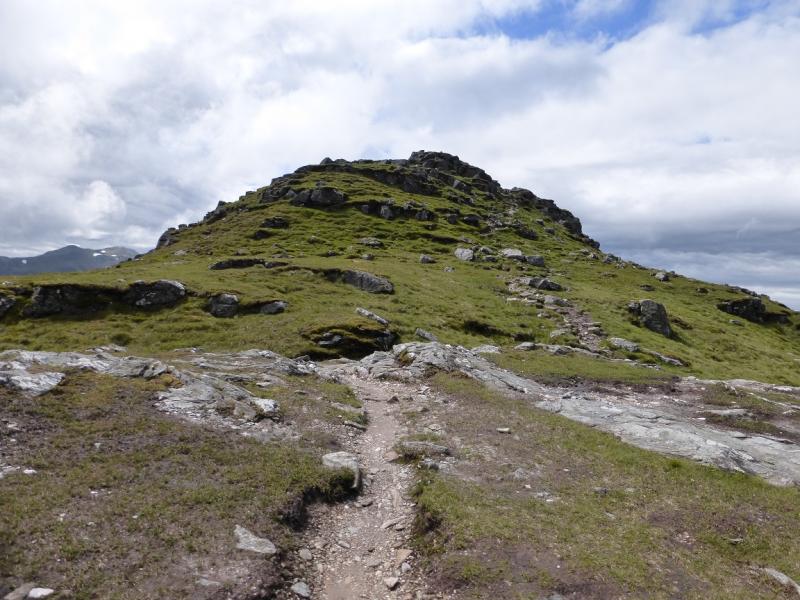
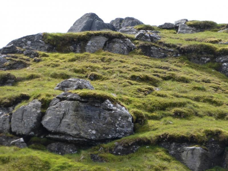
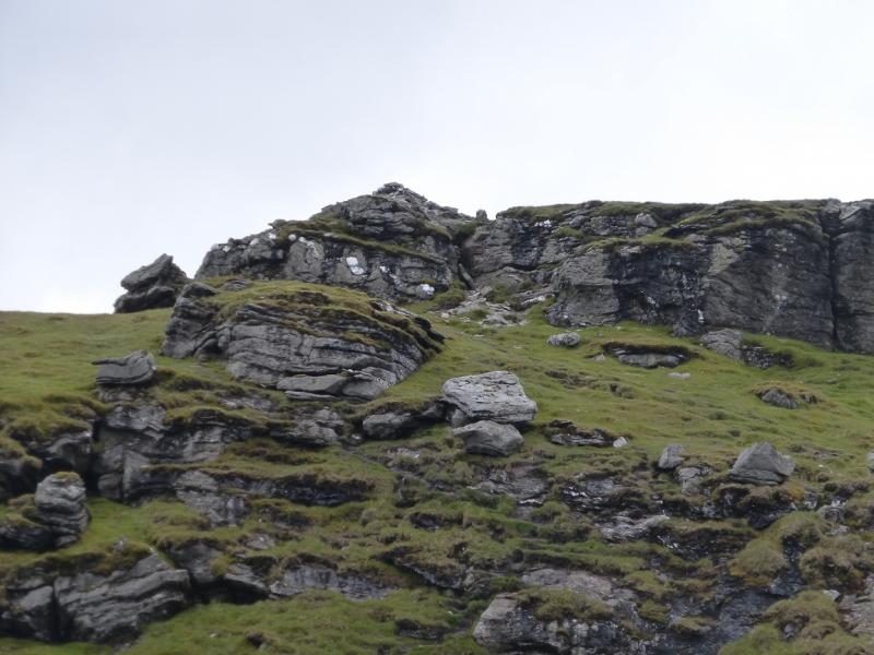
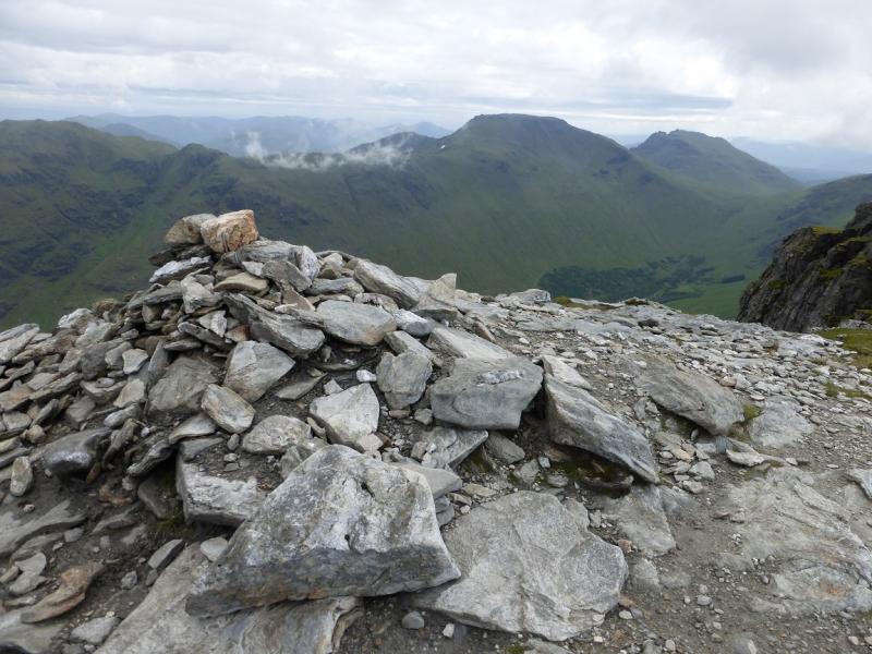
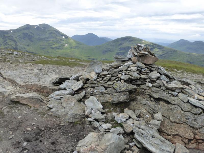
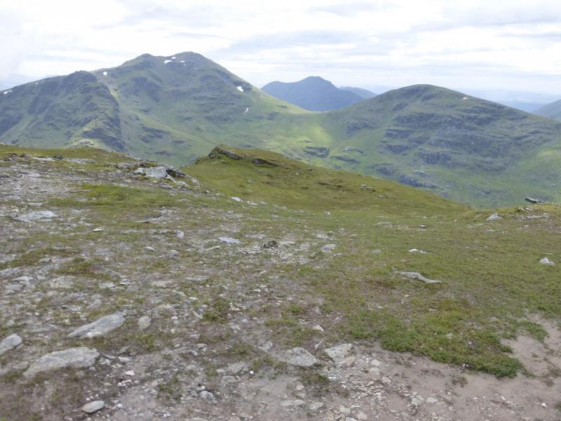
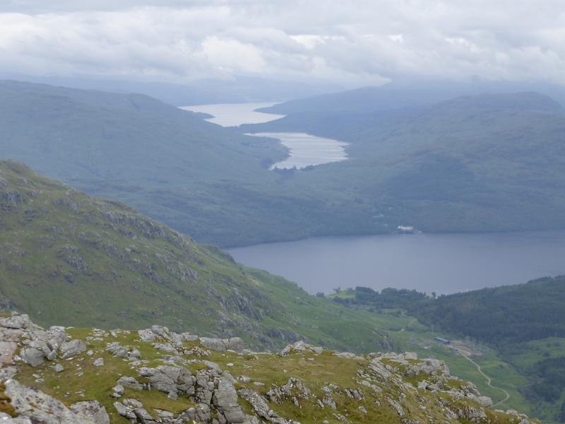
Ben Vane is the lowest Munro in the Arrochar Alps and with it only just making the altitude needed for a Munro, any resurvey may see it down graded which would be a shame as it is a very pleasant and rugged mountain. Once its base is reached, there is only 6 km of walking to get up and down. The path can be quite boggy lower down but as soon as it reaches the crags, it winds its way around all the difficulties. Higher up, the path offers various options so if you find yourself on a path which seems too difficult then it is likely that there is an easier one close by. There is no scrambling unless one seeks it out but hands will be needed on rock from time to time. Ben Vane is a superb viewpoint especially to Ben Vorlich, Beinn Narnain and Beinn Ime which are all very close. Beinn Bhuidhe and Ben Lomond plus Ben Lui, Ben Oss and Beinn Dubhchraig are all well seen on a clear day. On 30/6/15, there were notices saying that walkers may be delayed whilst “works” were going on but no delays were experienced. Ben Vane is well seen on most of the walk in.
Route
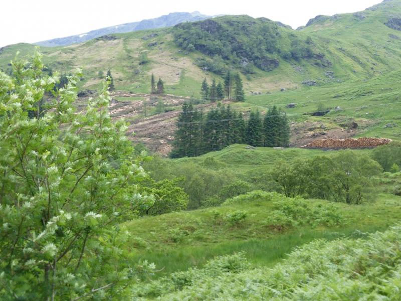
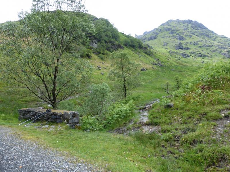
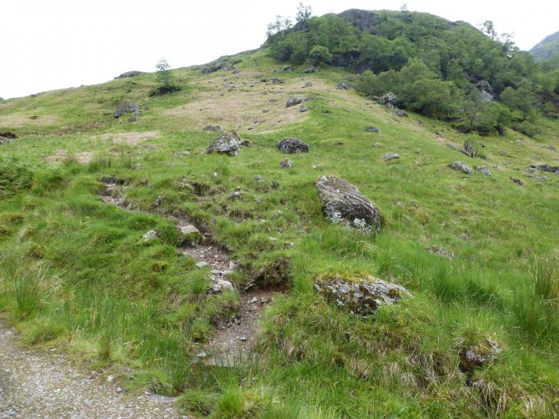
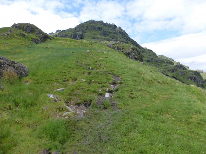
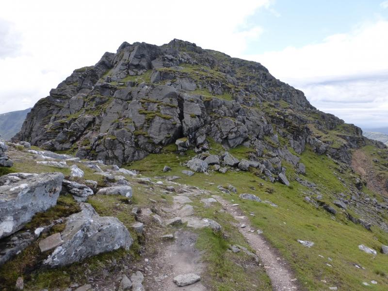
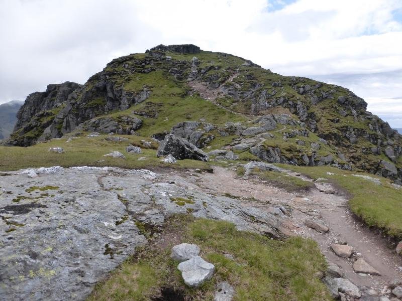
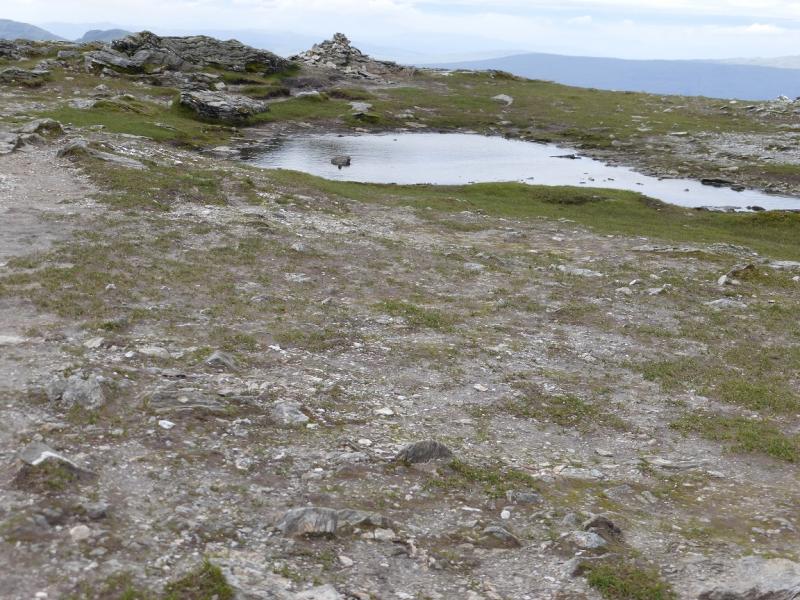
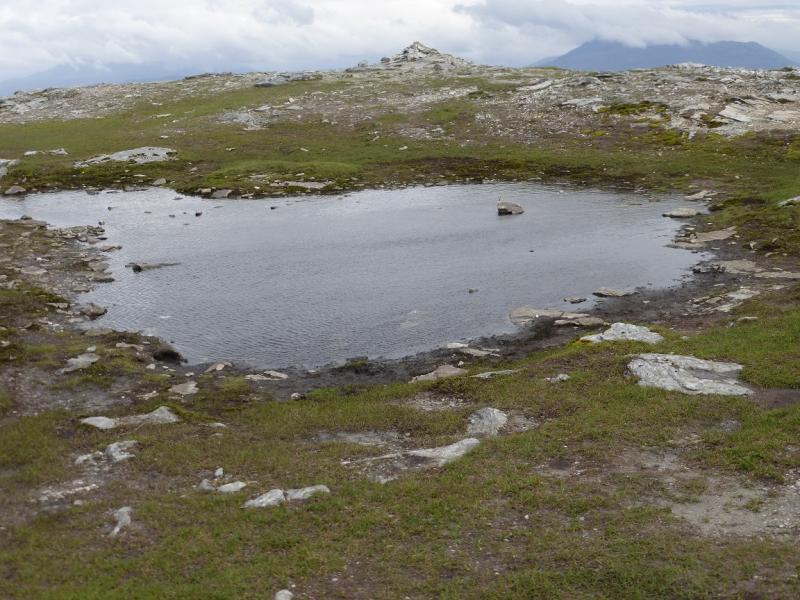
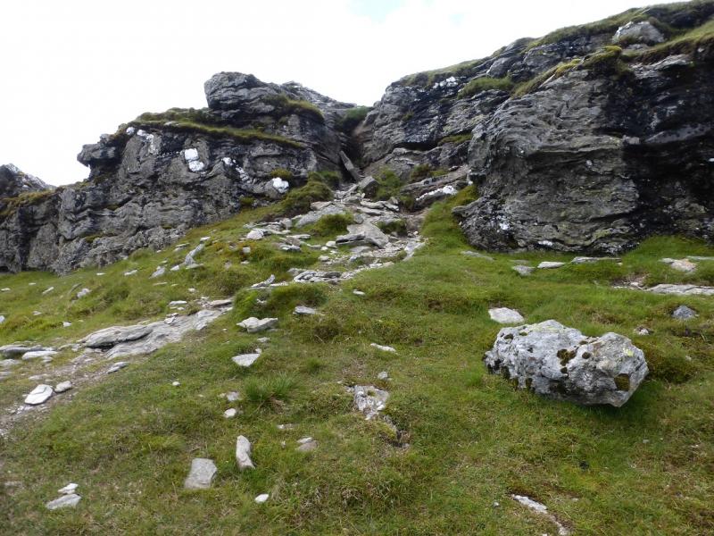
(1) From the Inveruglas car park, walk S along the A82. Pass the power station and, in about 1 km, on a bend, take the track going W towards the Sloy Dam. Follow the track. A large sweeping bend can be avoided by taking an obvious path. Further on, reach a large building by a cluster of pylons. Ignore a right turn just before here and continue straight on. Reach a junction where a lesser track descends left. Continue ahead to reach another junction. Go left here and cross a bridge. Soon reach a small bridge across a stream. It looks like the path up the SE ridge of Ben Vane starts here. One does but it is very wet and boggy so don't take it! Instead, walk about 50 m further up the track and take a path which goes up a grassy ridge. This only has one wet and boggy section which is easily avoided. Reach the first shoulder and go right along it. It is wet and boggy in places especially after the other muddier path joins. The condition of the path improves as it starts to climb but there are still bad sections until it reaches the start of the obvious crags. The obvious path goes to the right of these and gradually picks its way up. Higher up, it becomes rockier and there seems to be numerous false tops until finally a small plateau is reached with a cairn at each end about 50 m apart. It seems that the first, E, cairn is the higher so this is the summit of Ben Vane, 915 m.
(2) Retrace the route of ascent.
Notes
(a) This walk took place on 30th June, 2015, and twice more about 20 years ago.
Photos - Hover over photo for caption. Click on to enlarge. Click on again to reduce.