Get Lost Mountaineering
You are here: Scotland » 01 South of Oban to Stirling and Fife » Ben Lui Range to Crianlarich
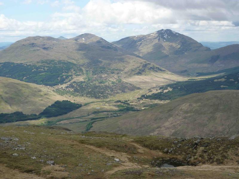
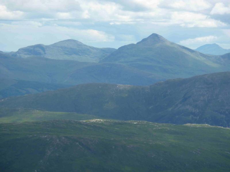
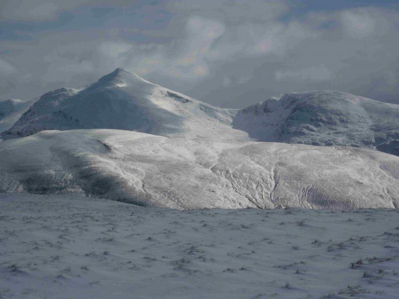
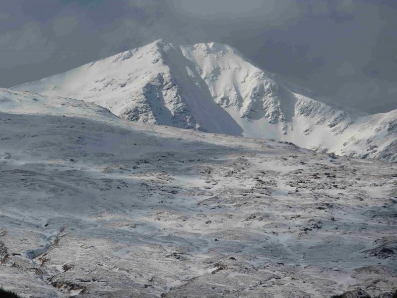
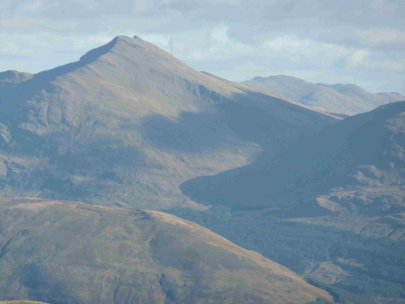
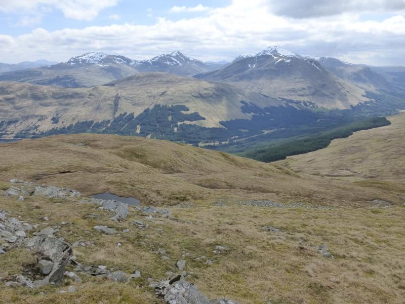
Beinn Dubhchraig, Ben Oss & Ben Lui from Dalrigh near Tyndrum
Beinn Dubhchraig, Ben Oss & Ben Lui from Dalrigh near Tyndrum
Start/Finish
Dalrigh car park which is about one mile south of Tyndrum on the A82. Dalrigh is clearly signed from the main road. The car park is free and fairly large although as it lies on the West Highland Way and is the usual starting point for Ben Dubhchraig, Ben Oss and Ben Lui, it can be quite busy.
Distance/Time
26 km of which about 9 km could be cycled. About 9 – 10 hours.
Peaks
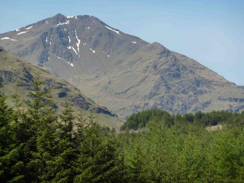
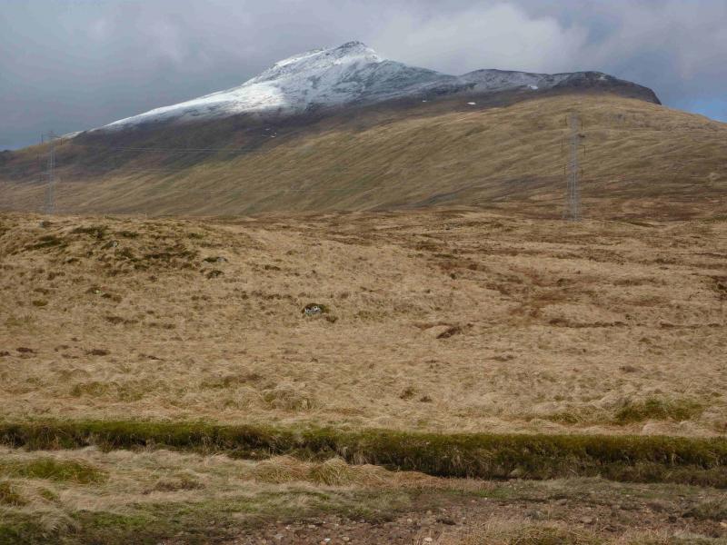
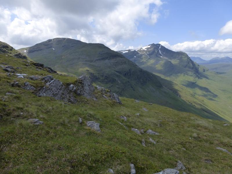
Beinn Dubhchraig, 978 m, NN 307 254.
Ben Oss, 1029 m, NN 287 253.
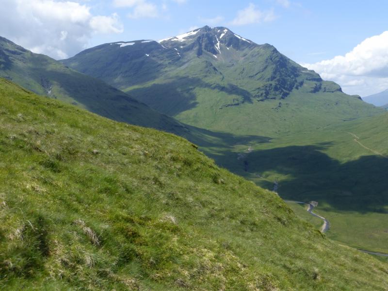
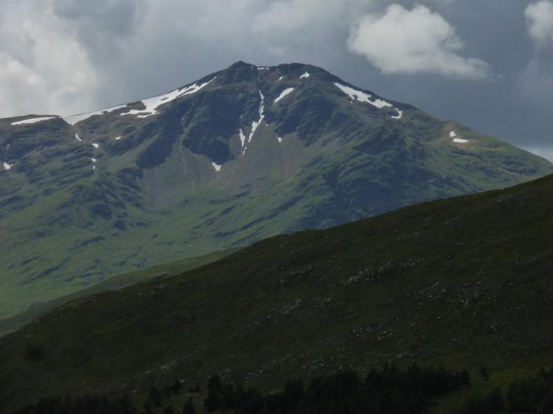
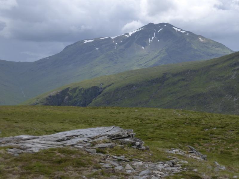
Ben Lui, 1130 m, NN266 263. OS sheet 50.
Introduction
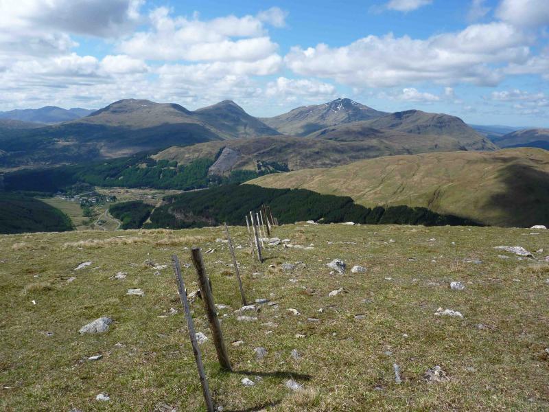
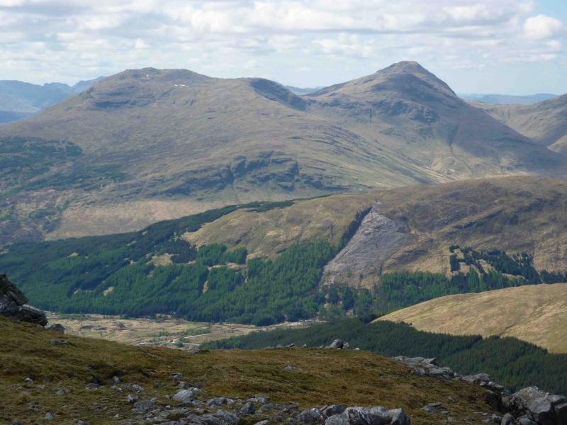
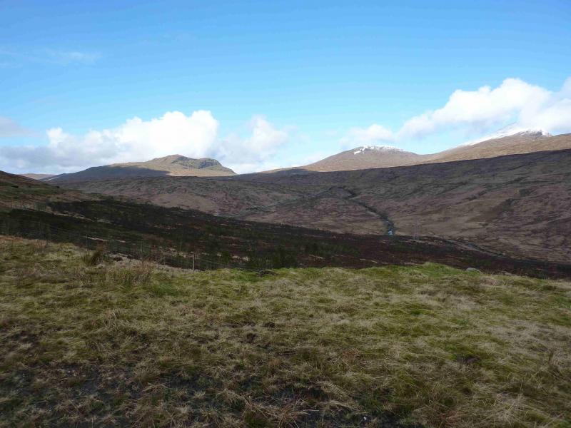
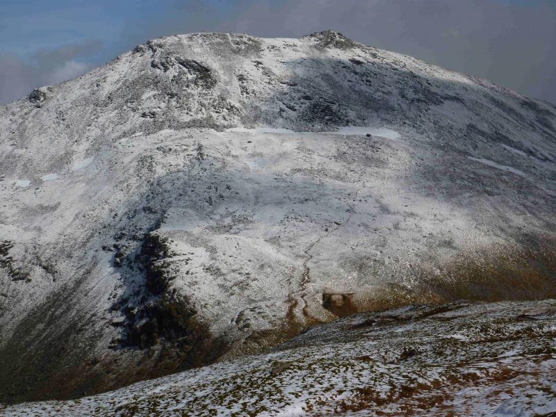
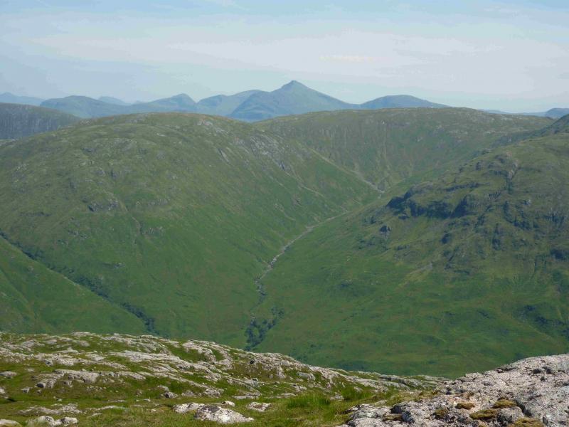
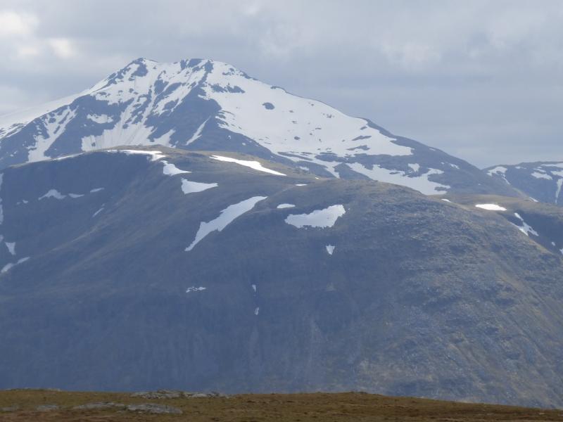
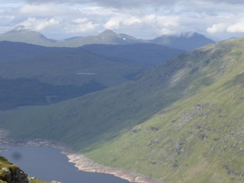
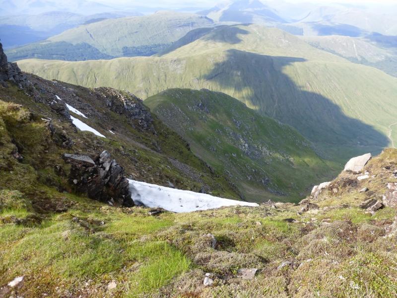
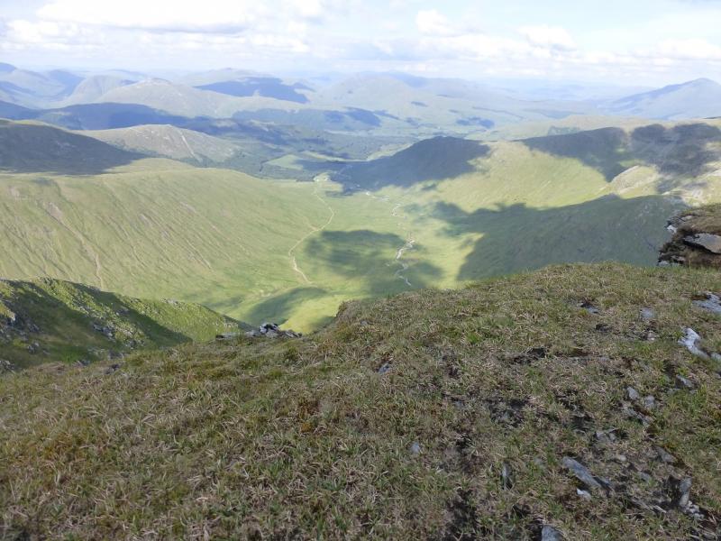
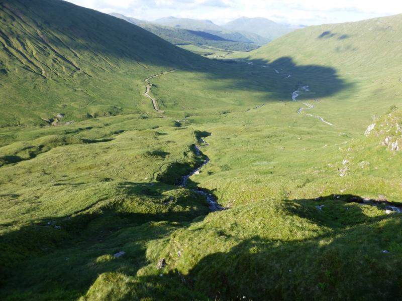
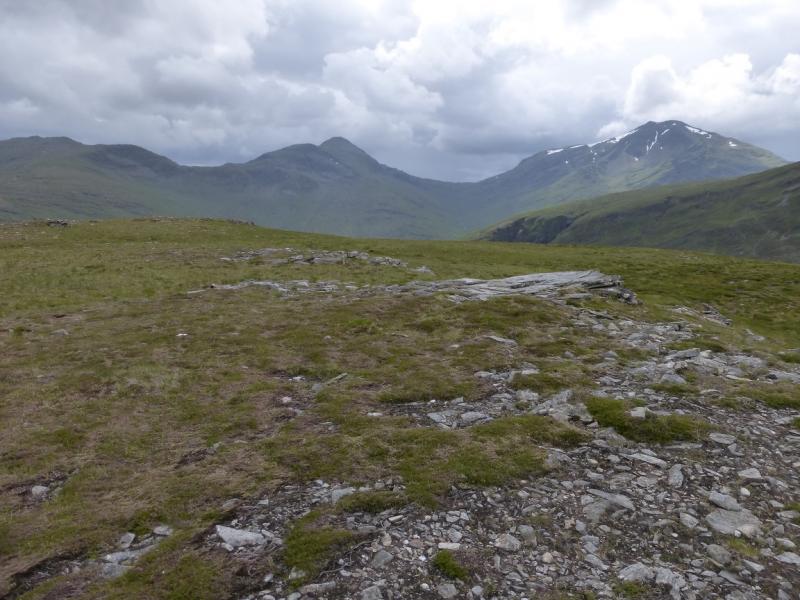
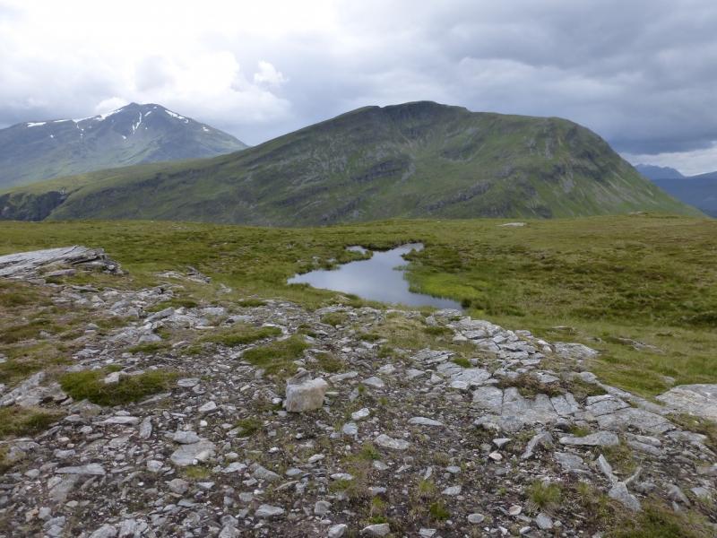
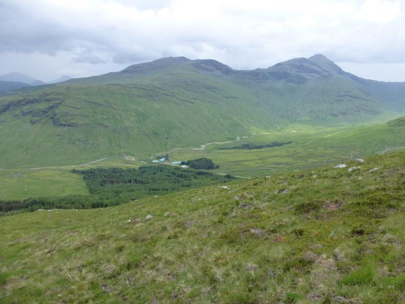
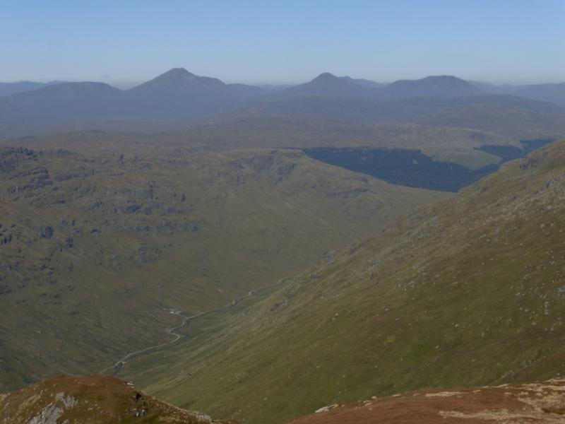
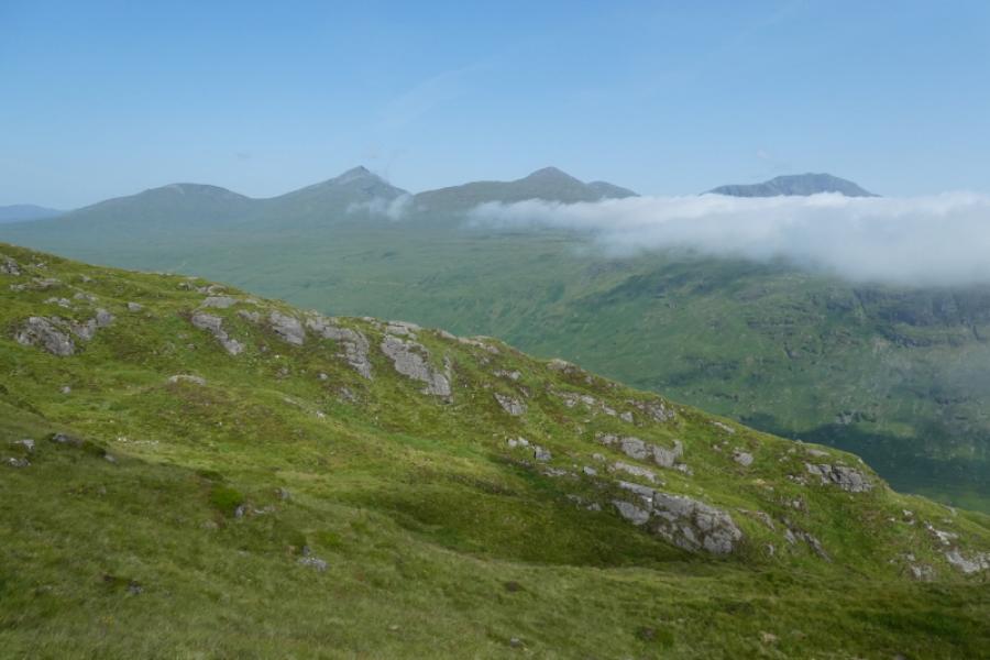
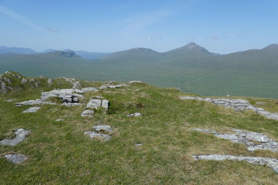
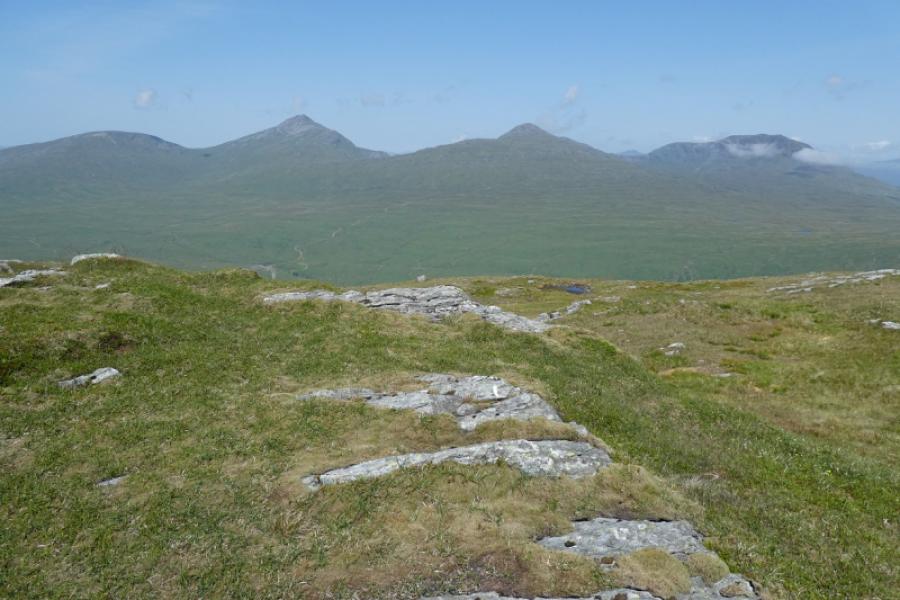
This is a tough, strenuous but very rewarding round. The descent from Ben Lui to its foot is long (1.5 to 2 hours) but on a lovely twisting and turning mountain path which, in dry summer conditions, should not be a problem. In winter conditions, this route on Ben Lui will only be for the experienced and competent winter walker as the mountain will hold much snow and ice high up as well as having cornices on its edges. There is no path from the bridge at Cononish up on to the north ridge of Beinn Dubhchraig but the going is not too bad on moderately steep grass. As one would expect, on a clear day, the views are some of the best in the Southern Highlands and almost everything is visible but especially the hills around Crinalarich. Rumour has it that the official source of the River Tay lies in these hills, possibly the bealach (col) between Ben Oss and Ben Lui. In a wet spell, the stream crossing to reach the Cononish track on the return may be awkward to cross.
Route
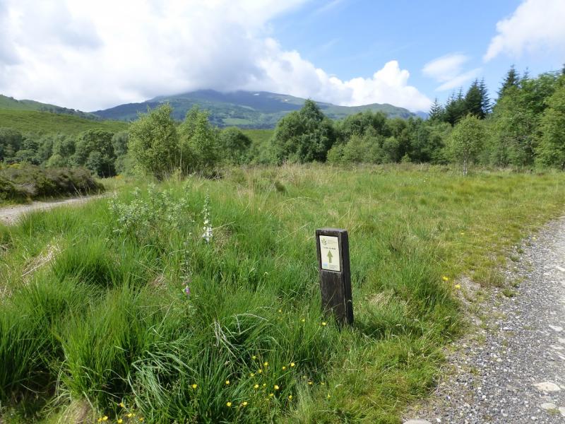
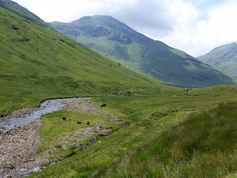
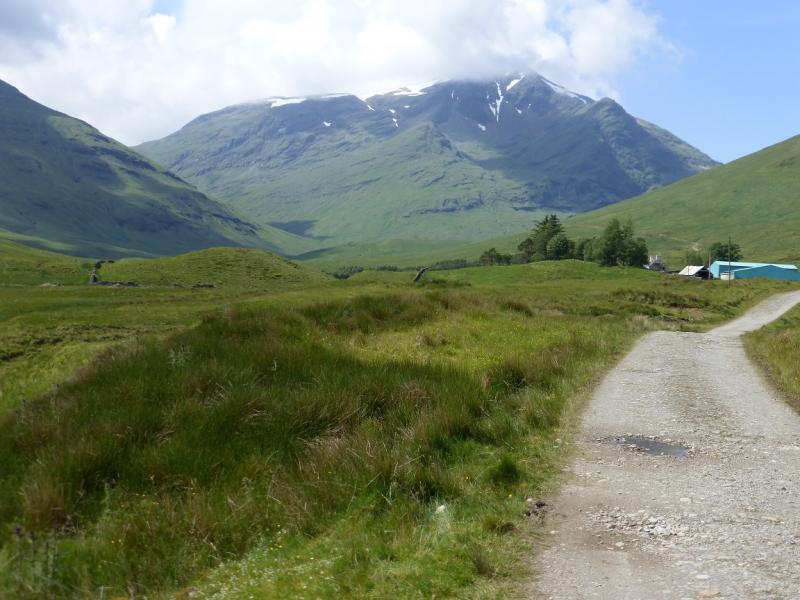
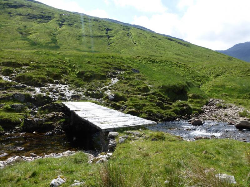
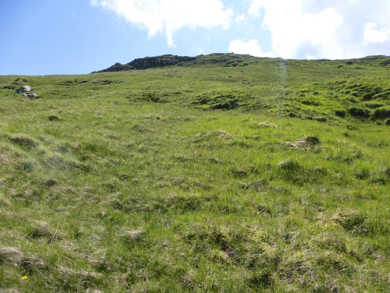
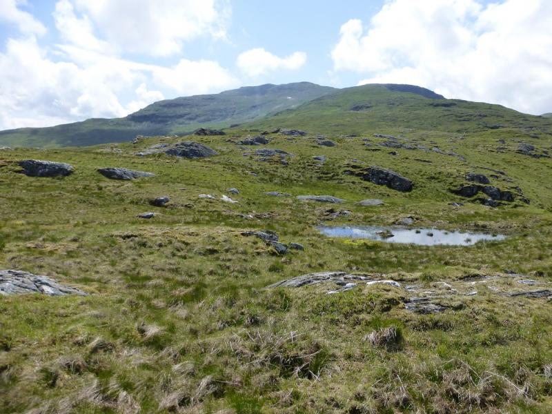
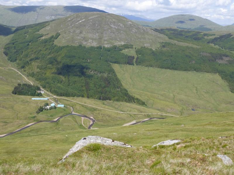
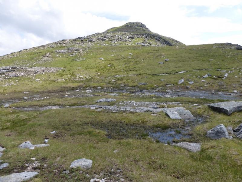
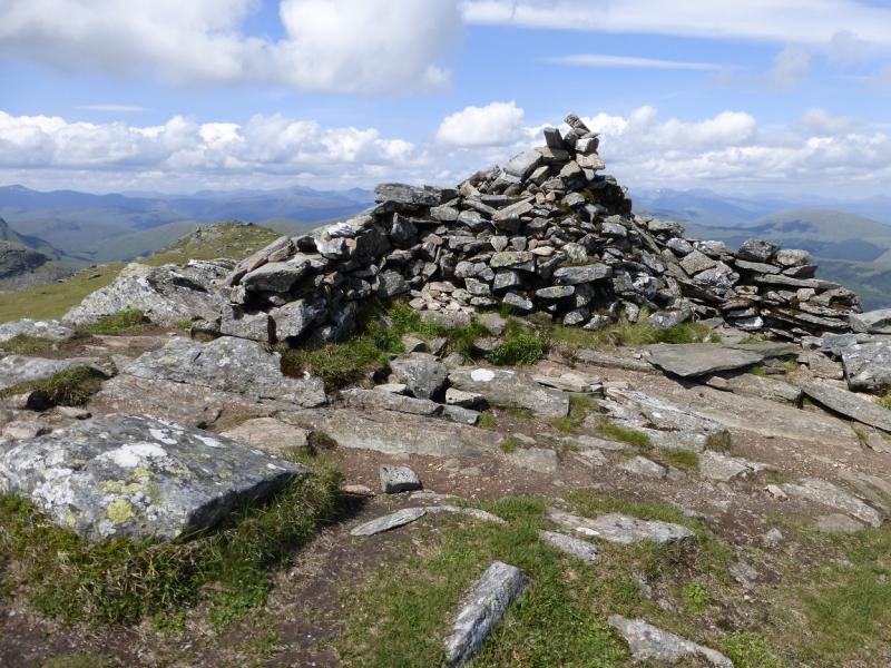
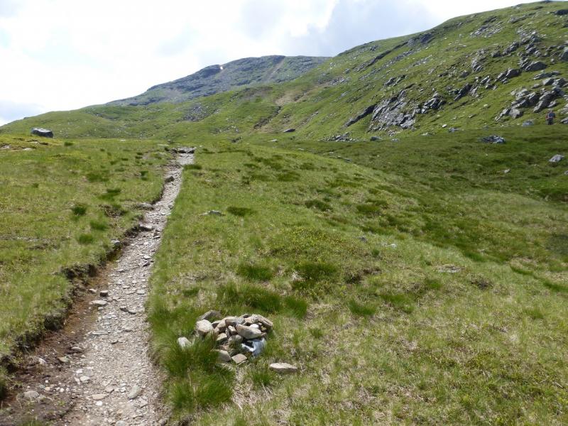
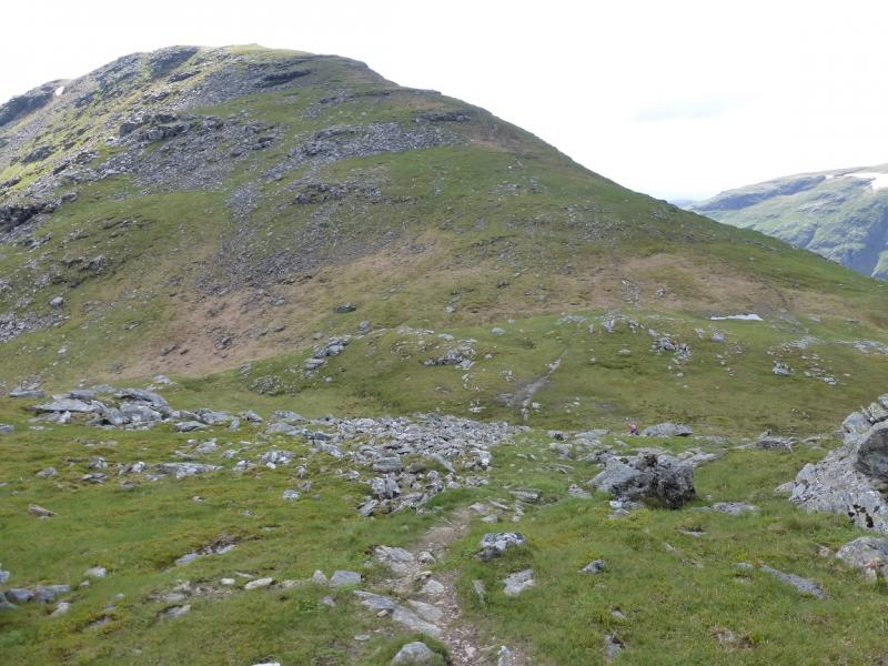
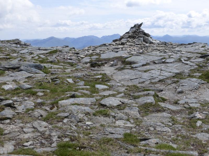
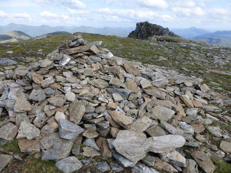
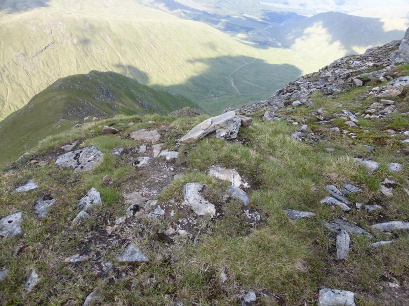
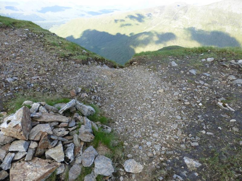
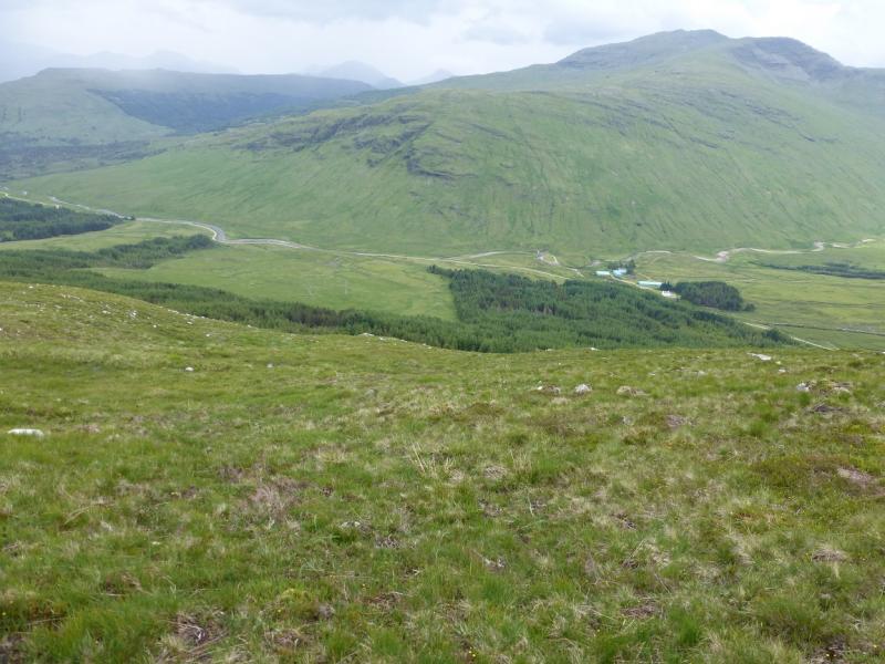
(1) Walk or cycle out of Dalrigh car park as if returning to the main road then take the first left which immediately splits into two forks. Take the right fork not the one on the left for the Old Church. Follow the right fork which is the Cononish track. There are some helpful signs for Ben Lui NNR along the way. The track crosses a river then passes through a wood where the signed West Highland Way splits off right. Continue and soon reach open ground with the Cononish River on the left. Continue almost to Cononish, about 4 km from Dalrigh, and look for the low footbridge to its SE which crosses the River Cononish. Once across, pick a way up the moderately steep grassy slopes where there is little hint of a path. Just below the crest, a fence can be crossed easily then soon reach the crest of the N ridge of Beinn Dubhchraig. Follow the broad ridge S and up, with a path gradually appearing, to a small flat area containing some small lochans. The ridge now goes SE and there is a very obvious path and this leads up to the large cairn which marks the summit of Beinn Dubhchraig, 978 m, NN 307 254.
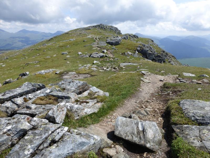
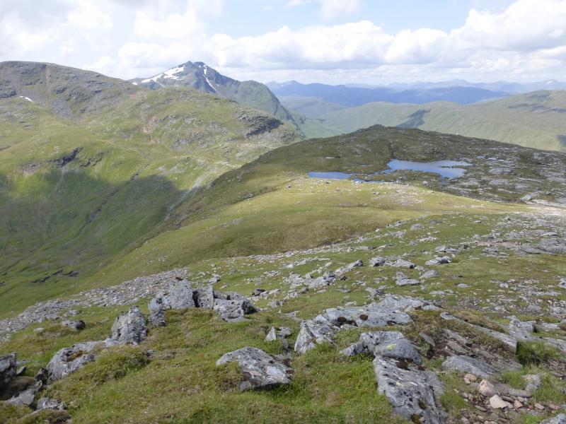
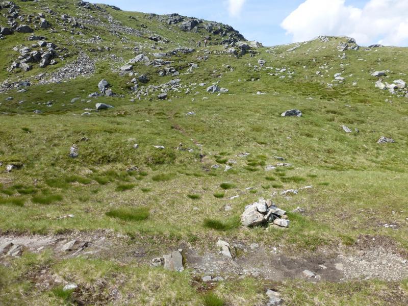
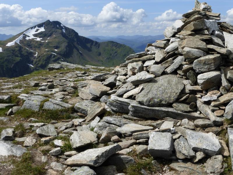
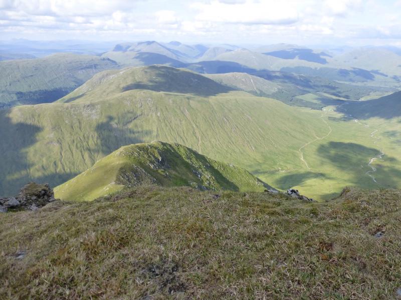
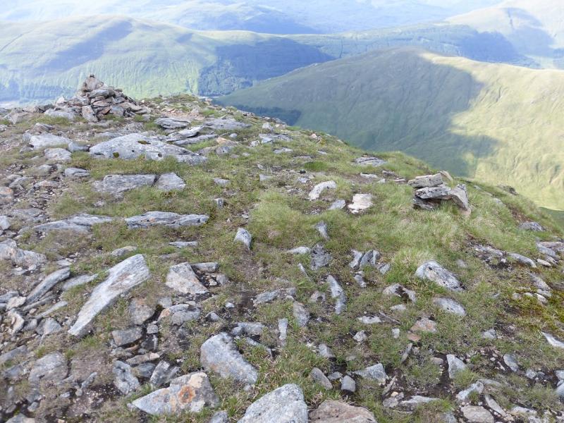
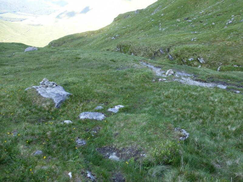
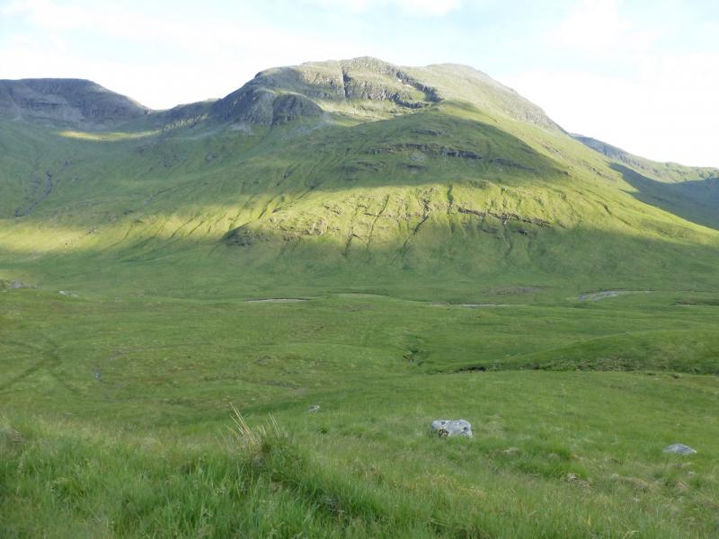
(2) Retrace on the good path to just before the lochans where the path goes left, to avoid boggy ground, before turning right and continuing down the NW ridge to reach a well defined bealach. Continue on the path which stays on the S side of the crest. This path does not go to the summit. Look for a tiny cairn with a slightly larger cairn about 30 m further. Leave the good path at the small cairn and follow a faint path which gradually picks its way up on to the crest with some wet and boggy ground on the way. Once on the crest, the route is more obvious and the ridge goes SW curving around to S. Top 941 (not a Munro Top) is crossed before reaching the large cairn which marks the summit of Ben Oss, 1029 m, NN 287 253.
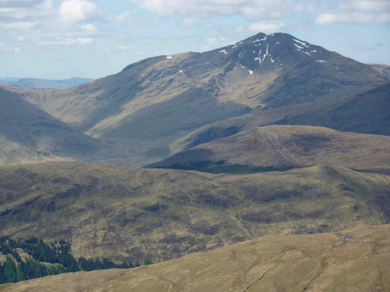
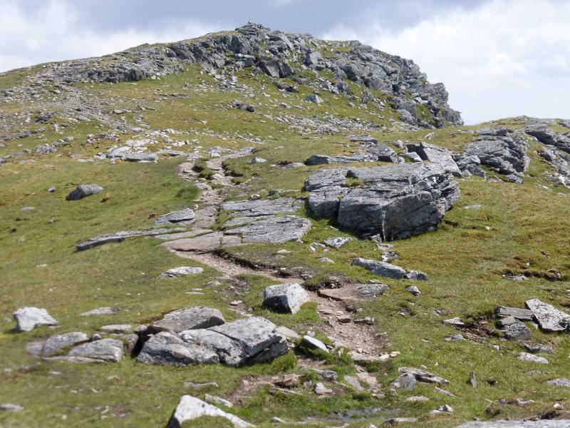
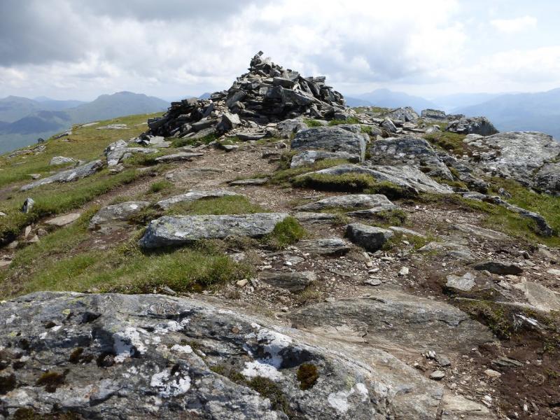
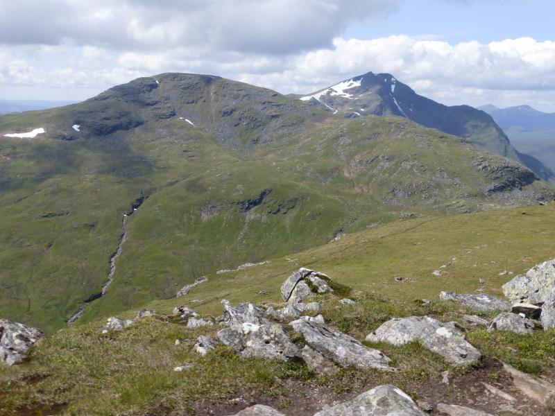
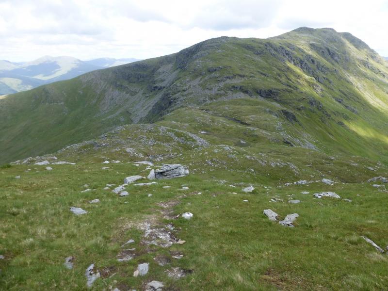
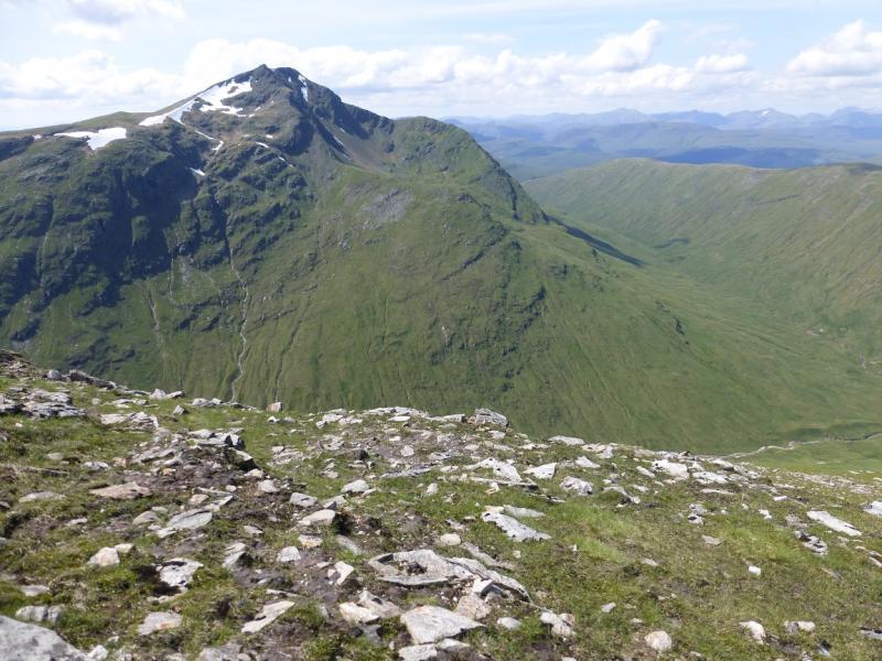
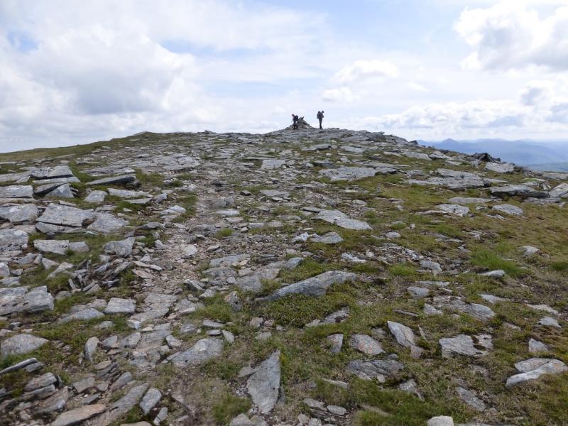
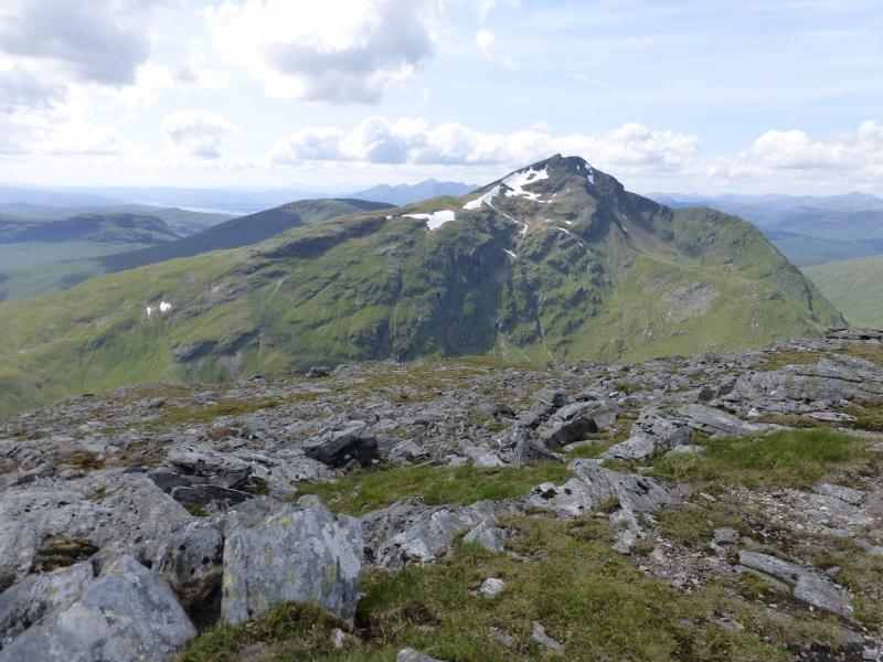
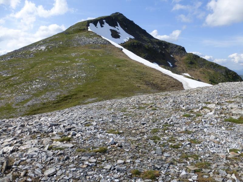
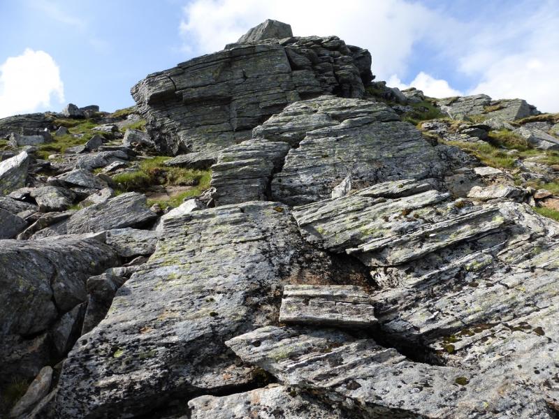
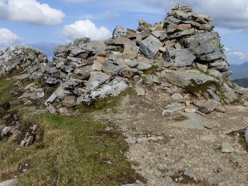
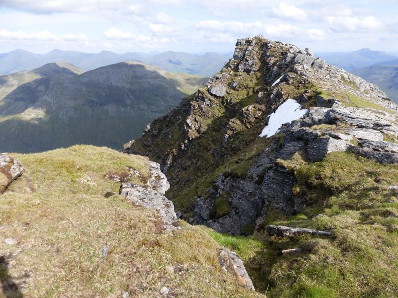
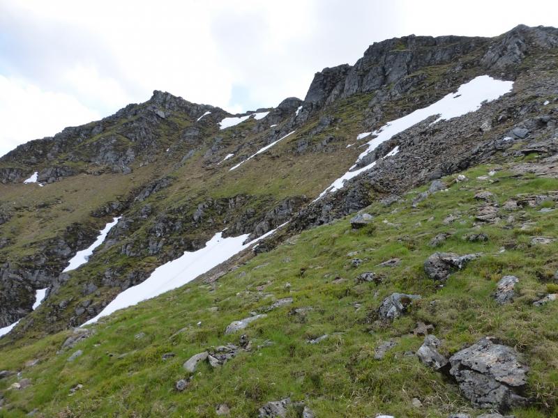
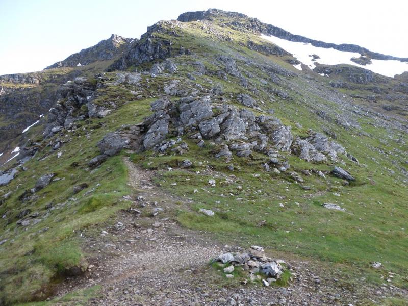
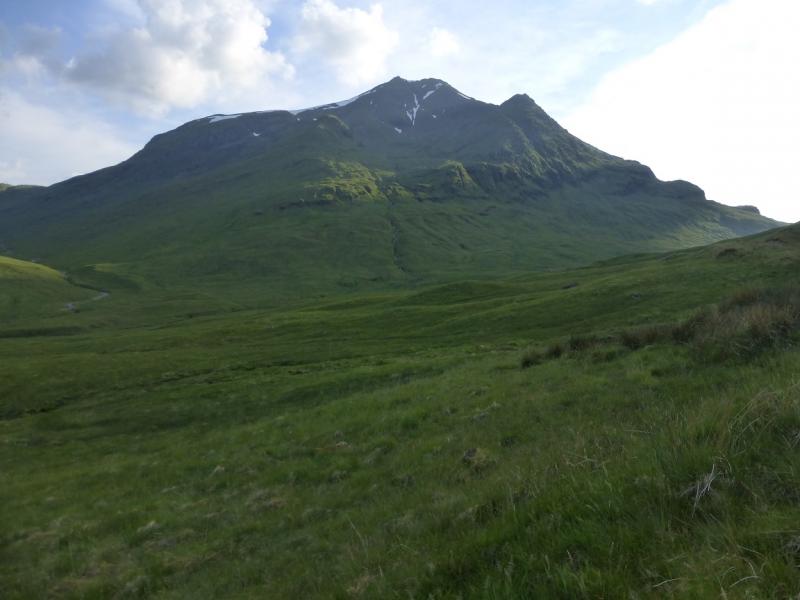
(3) A great deal of height is lost then has to be regained, plus more, to reach Ben Lui. Descend the S ridge of Ben Oss. Lower down, gradually curve around, towards the W, around the bealach at the head of the Allt Coire Laoigh (stream between Ben Oss and Ben Lui). There is a path all the way but it can be difficult to follow. From the bealach, ascend NW then N up the S ridge of Ben Lui. Lower down this seems pathless but a good path appears much higher up. On a shoulder where the ridge turns NW, there is a small cairn. From here the ridge narrows and is much more defined and a little steeper. It seems further than it looks to the summit! Continue up with the ridge becoming increasingly rocky but there are no difficulties in summer. A short rock wall, easily avoided, lies just before the summit. Above this, a large cairn marks the summit of Ben Lui, 1130 m, NN 266 263.
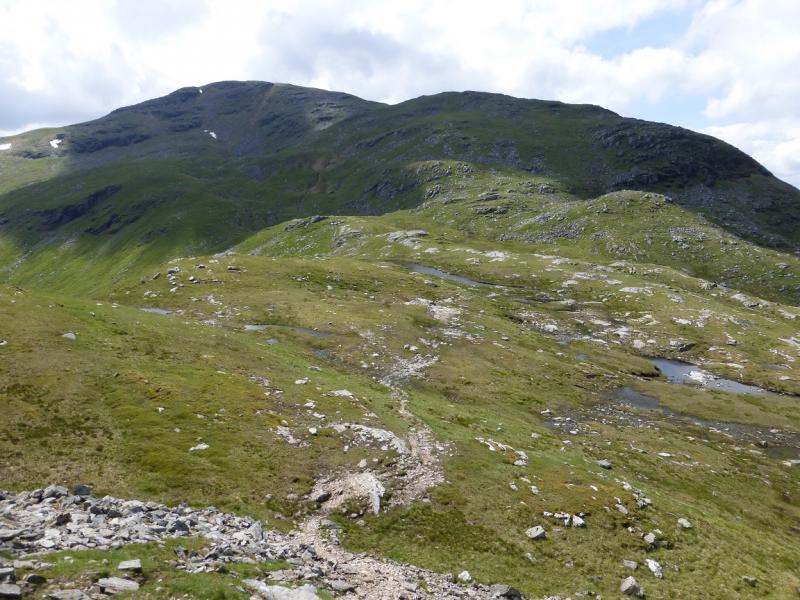
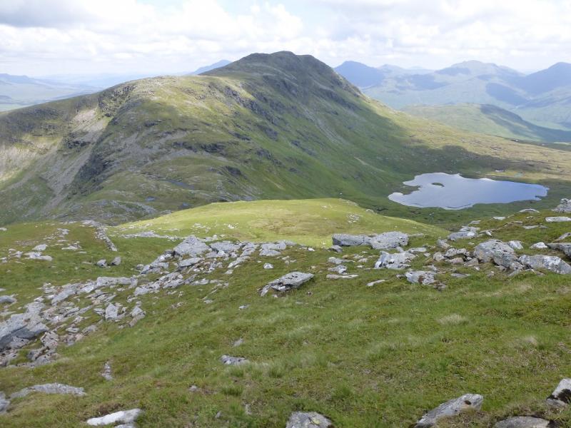
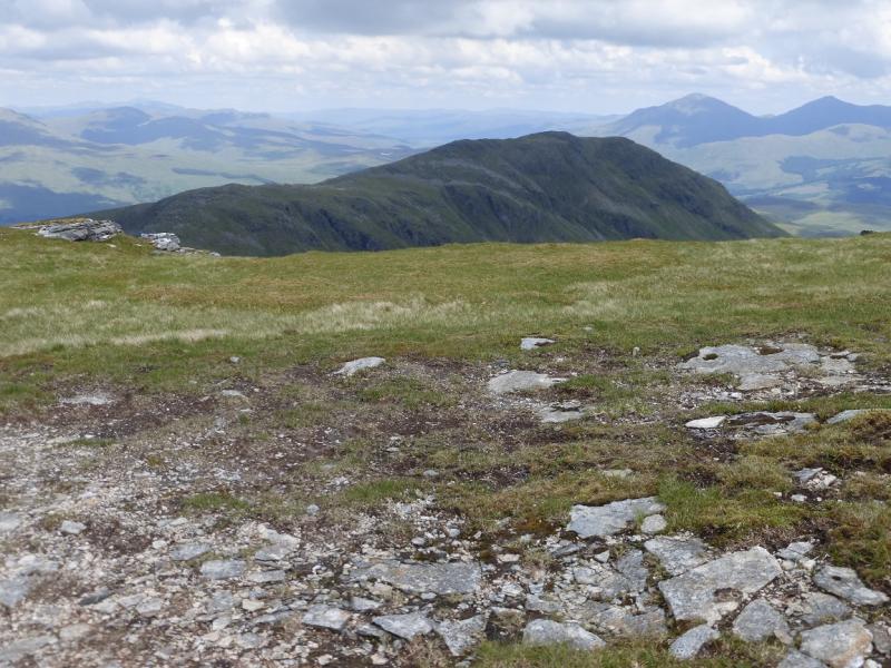
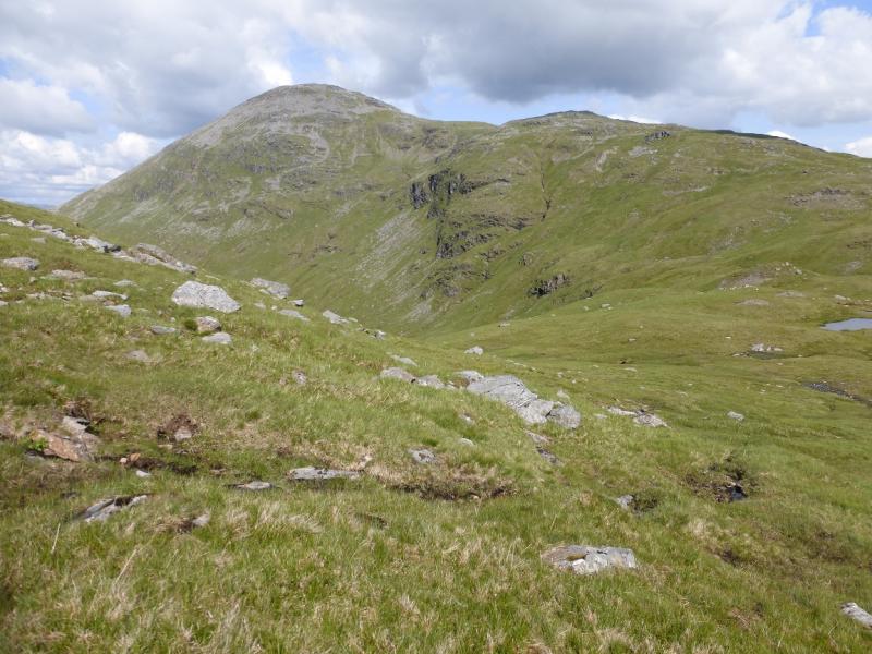
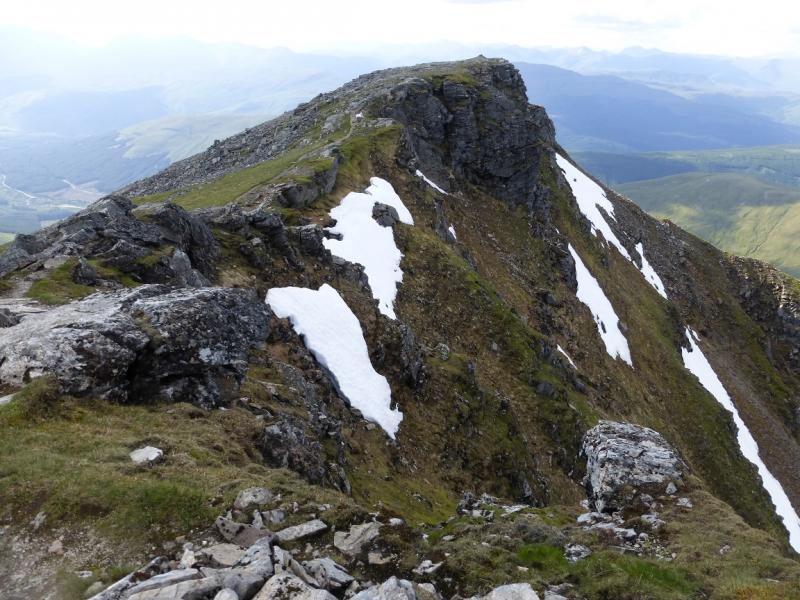
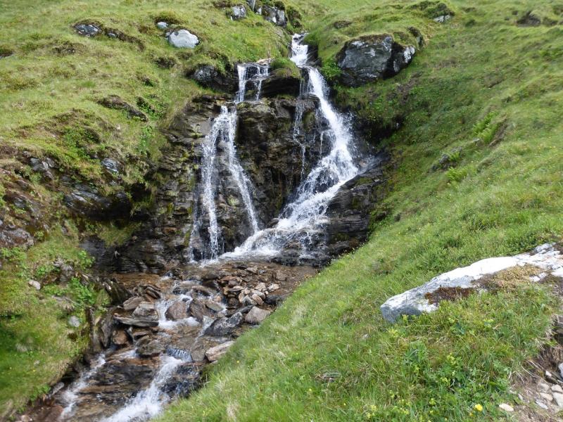
(4) Continue along the short rocky crest to the North Top where there is a cairn. Continue beyond here, following the obvious path. The way down is along the N lip of Coire Gaothach which is at right angles to the crest. A tiny cairn on the crest marks the start of the path, going down to the right, E. Just past here is a larger cairn and a good path which might be confusing, especially in mist. Go down the narrow path from the tiny cairn. It is steep with many twists and turns but is not a scramble. Lower down, it reaches a small grassy col where another cairn indicates a right turn down the path into Coire Gaothach. Follow the corrie path which leads down and, eventually, meets another path (2 cairns) by the main stream in the corrie. Follow this path down, by the stream, aiming for the end of the Cononish track. Just before the track, the Allt an Rund has to be crossed, near two posts. The ground just before the stream can be boggy and the stream may be awkward to cross in a wet spell. Once across, follow the track back to Cononish then on to Dalrigh.
Notes
(a) This walk took place on 3rd July, 2015. The route was walked in reverse about 12 years earlier with the descent from Beinn Dubhchraig being made down its NE corrie then through the very boggy wood then crossing tow bridges to reach the track to the S and E of Dalrigh. One of these bridges is now down but even with the bridges in place, it would be quite unpleasant in the wood. About 25 years ago, this route was used to reach Beinn Dubhchraig, Ben Oss and Ben Lui but the continuation was then to Beinn a' Chleibh before descending to the A85 in Glen Lochy. The extra effort needed to ascend Beinn a' Chleibh is quite small. The River Lochy has to be forded which will be difficult in wet conditions and two cars or a bicycle will be necessary as the finish is 10 km from Tyndrum and 12 km from Dalrigh. It would be possible to start the walk from Tyndrum Lower station where a track meets the Cononish track about 1.5 km before Cononish.
(b) The ascent of Beinn a' Chleibh is described separately from Glen Falloch via the Hydro road. It might be possible to use this approach for a round of all 4 Munros.
Photos - Hover over photo for caption. Click on to enlarge. Click on again to reduce.