Get Lost Mountaineering
You are here: Scotland » 02 River Tay to Rannoch Moor » North of Glen Lyon to Pitlochry
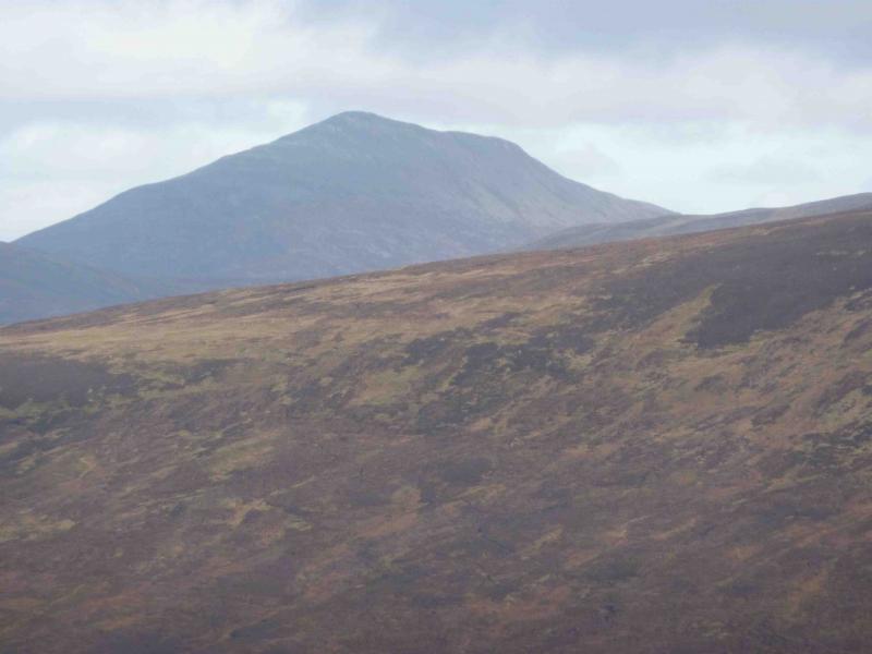
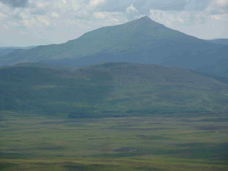
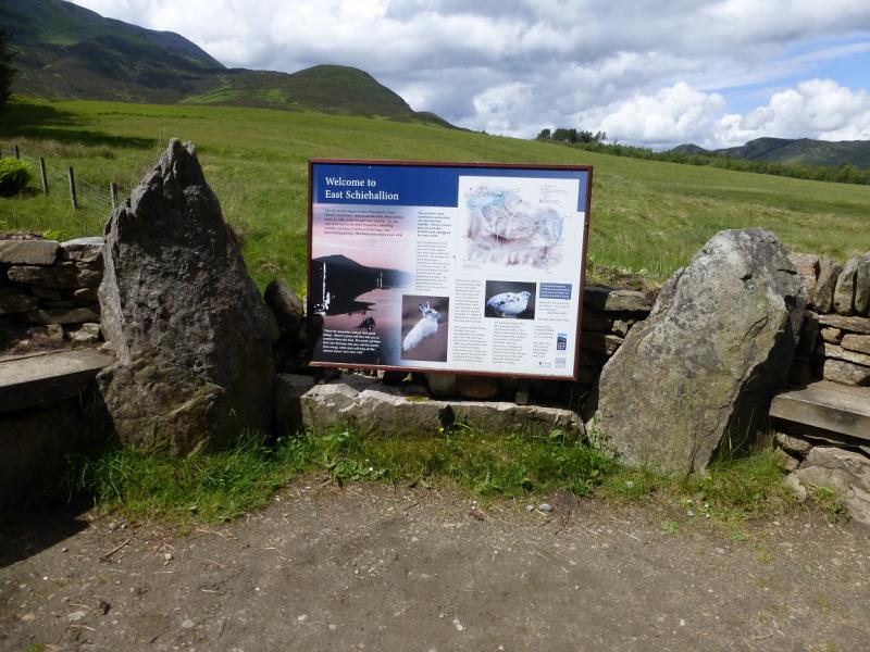
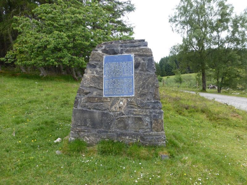
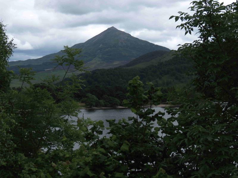
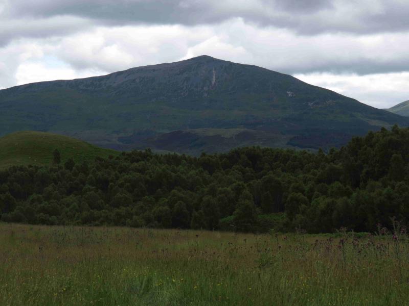
Schiehallion from the Braes of Foss car park on the Schiehallion Road
Schiehallion from the Braes of Foss car park on the Schiehallion Road
Start/Finish
From Aberfeldy, take the B846 road towards Tummel Bridge for about 9 miles to where there is a left turning called Schiehallion Road. Fillow this for just over 2 miles to the Braes of Foss car park. In 2015, all day parking was £2. Toilets are available in the summer months. The car park is not that large so arrive early during the busy season.
Distance/Time
10 km About 4 – 5 hours
Peaks
Schiehallion, 1083 m, NN 713 547. OS Sheet 42.
Introduction
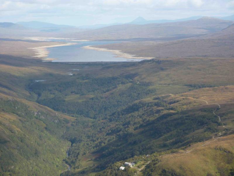
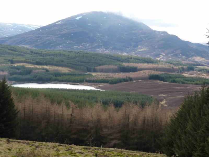
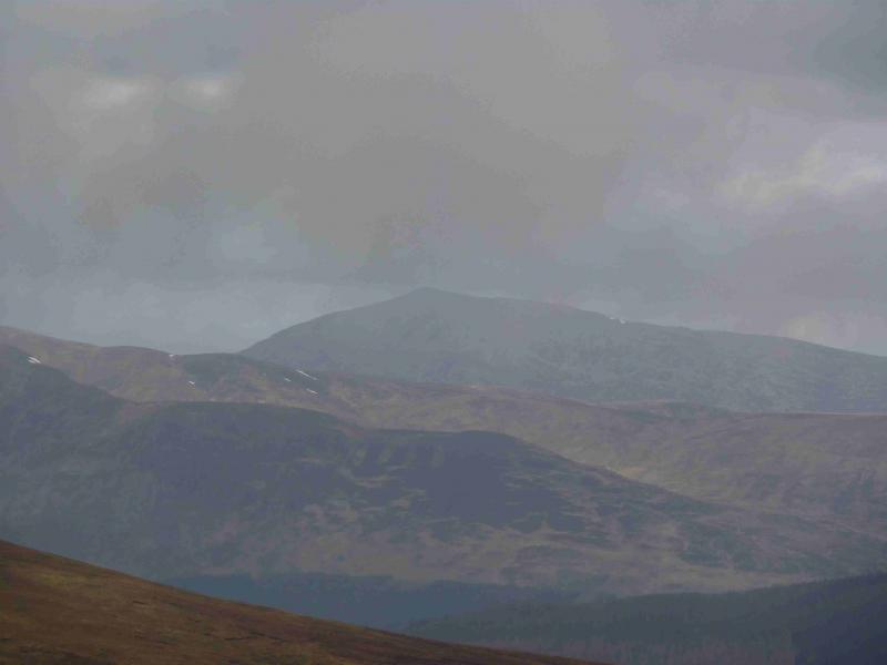
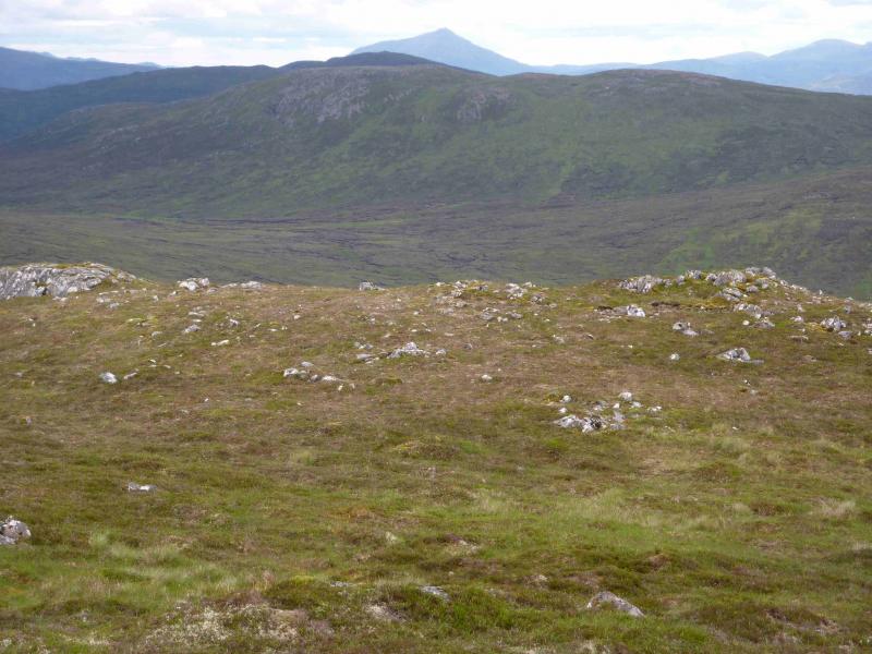
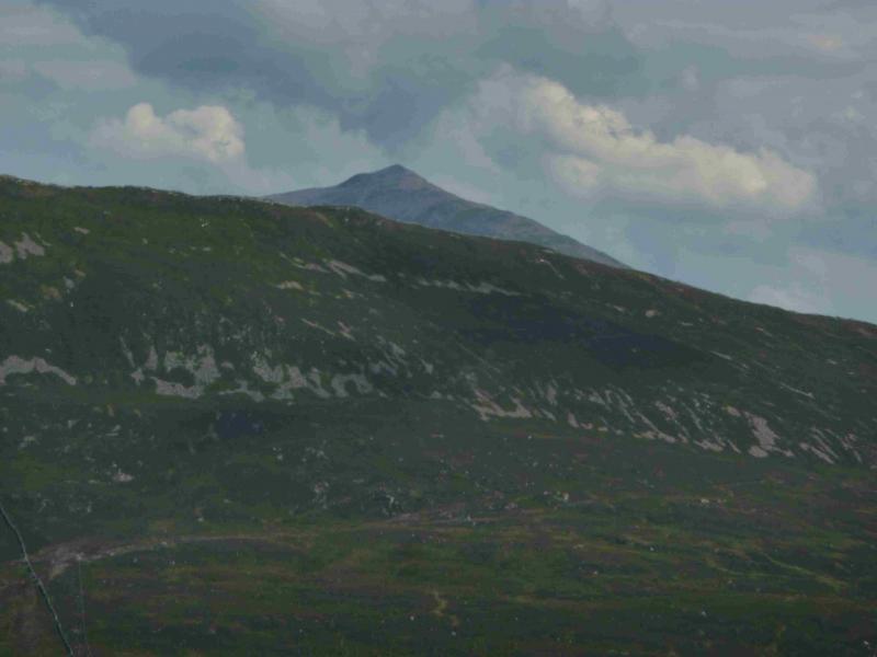
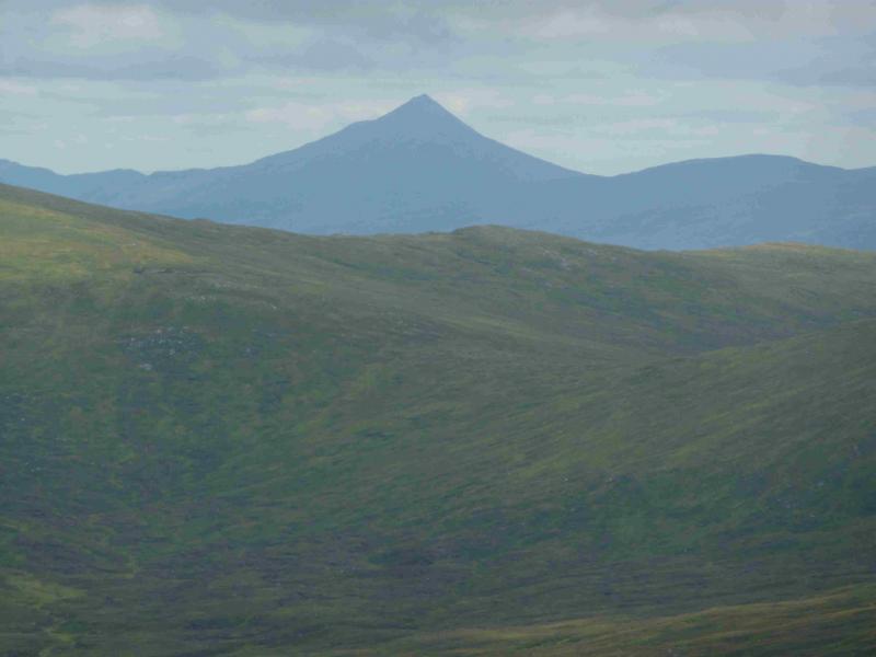
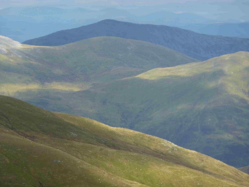
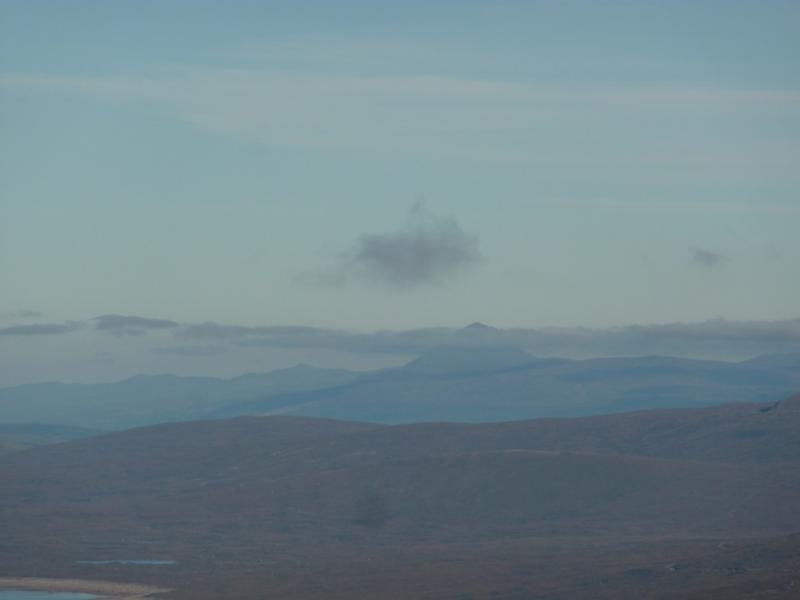
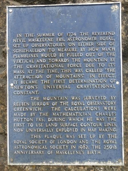
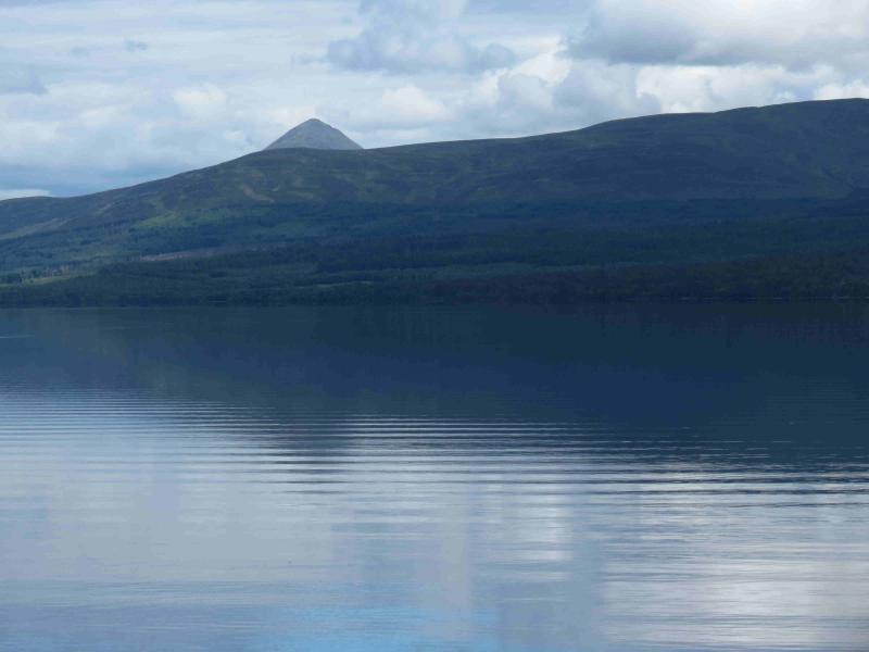
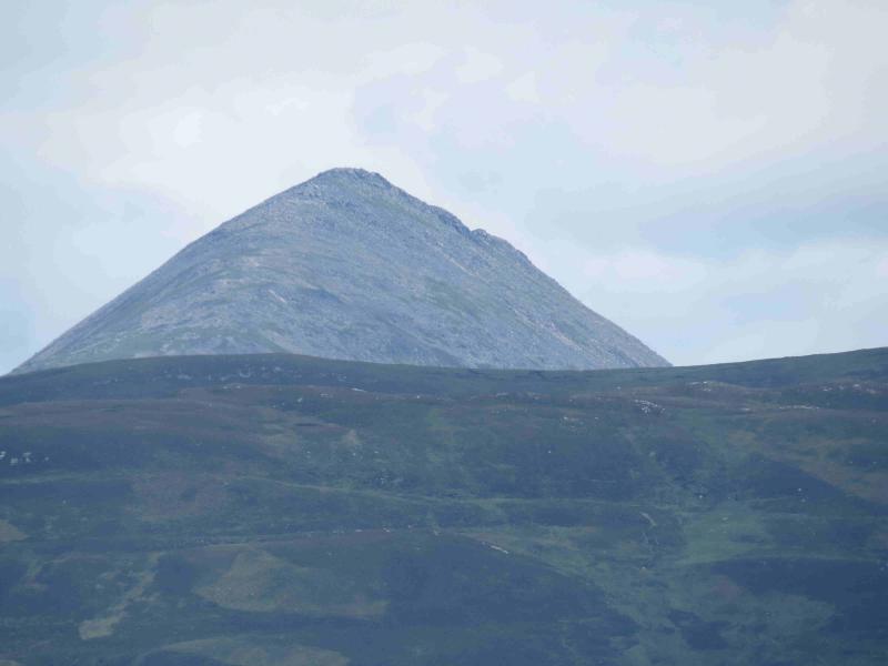
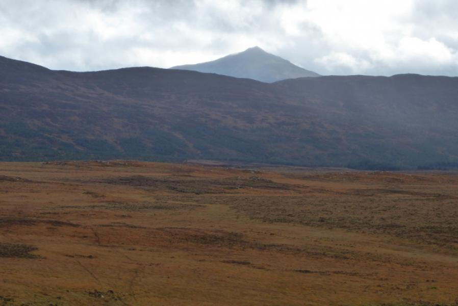
Schiehallion is one of the most famous mountains in Scotland and can be seen from many directions. It usually looks like a perfect triangle. This was used by the then Royal Astronomer, Neveil Maskelyne, in 1774, to measure the mass of the earth by the effect of the mountain on a swinging pendulum. Despite its height, Schiehallion is, for many, only a half day's ascent as the path is so good. Being an isolated peak, it is a good viewpoint for surrounding hills especially the Carn Mairg range to the south. Beinn a' Ghlo, Ben Chonzie and Ben Lawers are all seen on a clear day.
Route
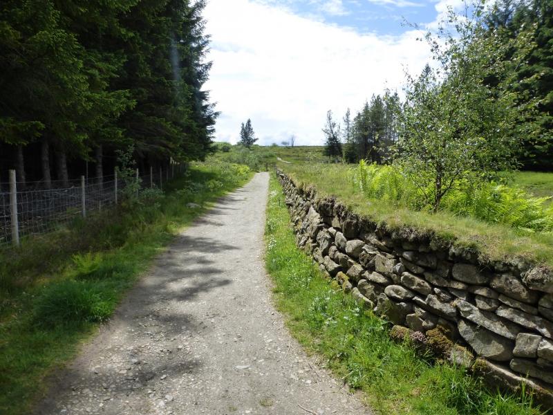
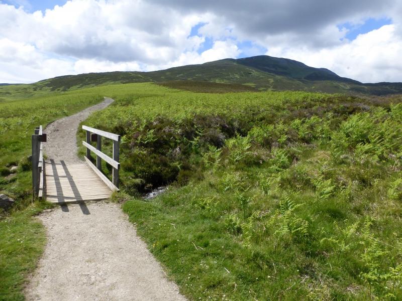
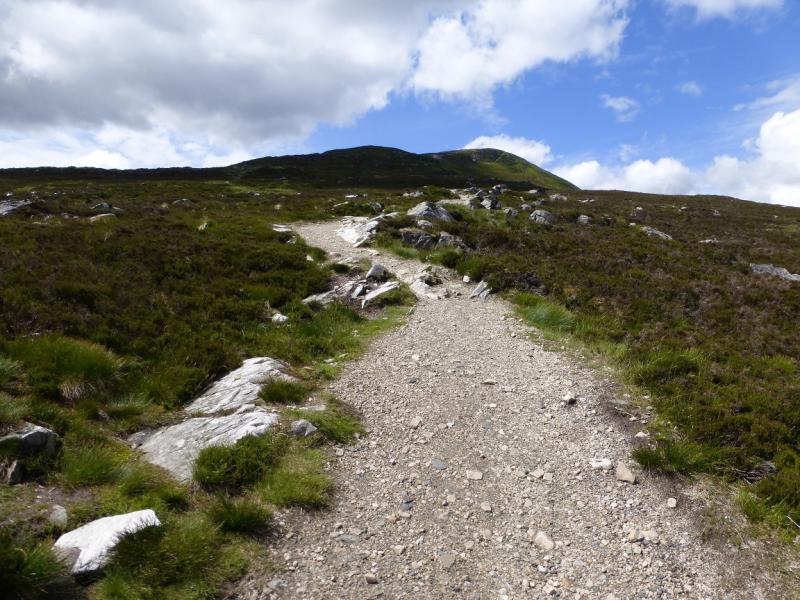
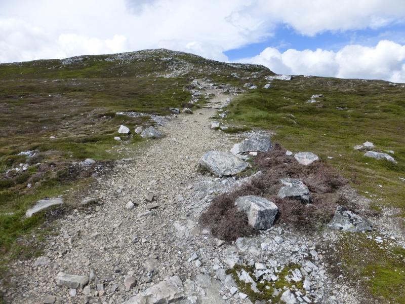
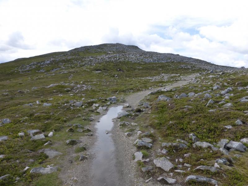
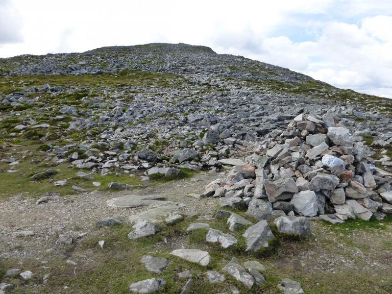
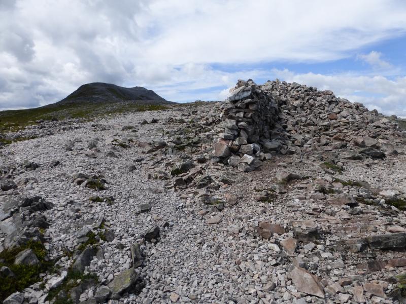
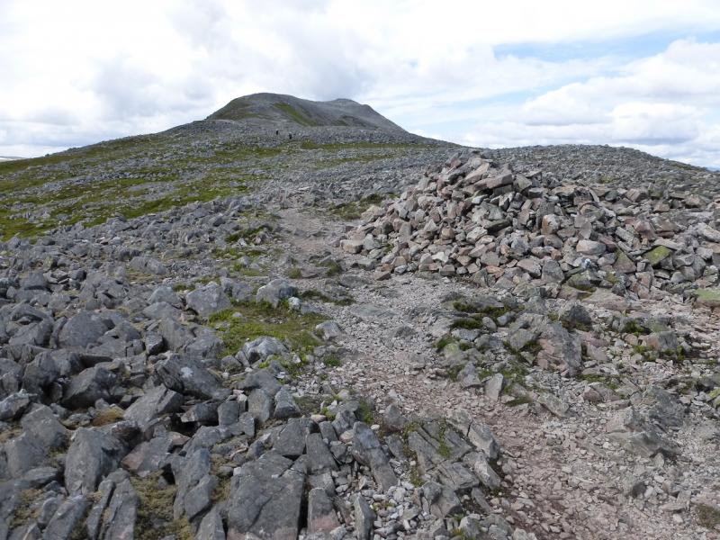
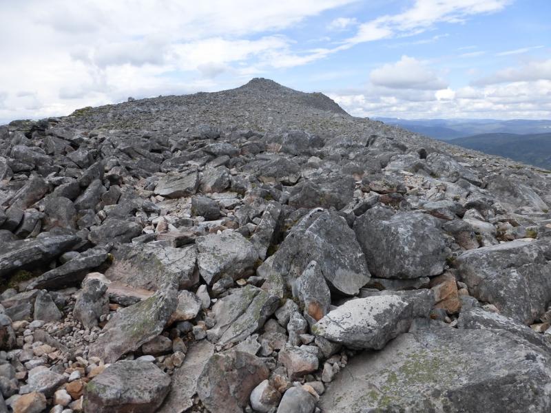
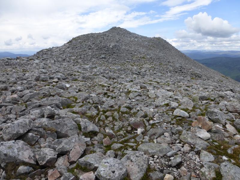
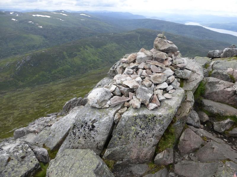
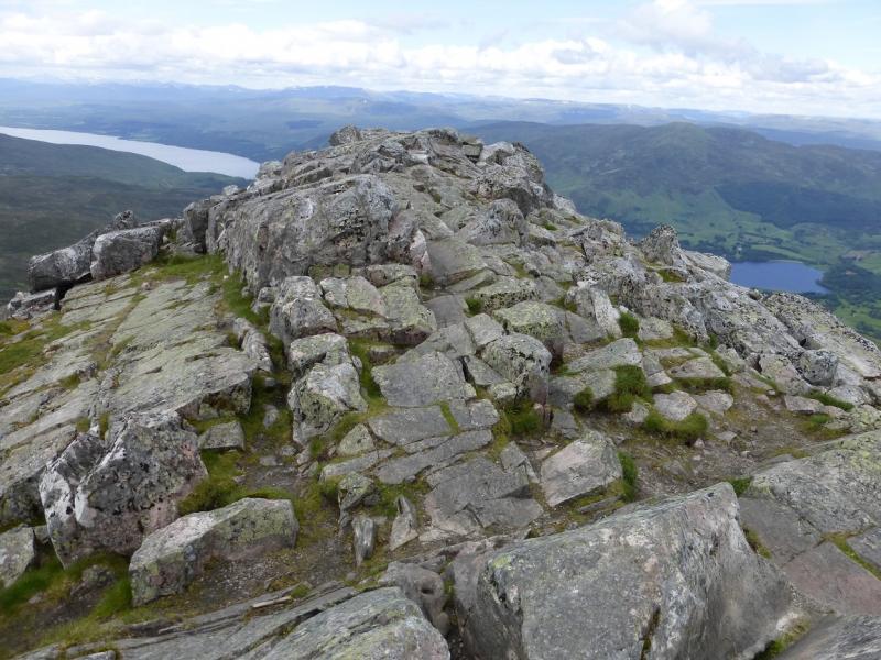
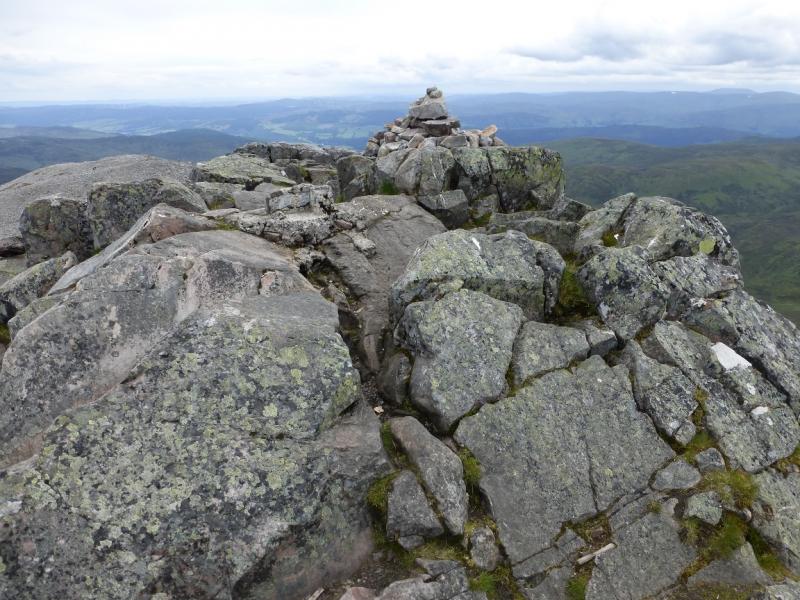
(1) Walk out of the car park, at the opposite end to the entrance, and follow the obvious path which has been much improved over the years. It takes one about two thirds of the way up the mountain to a large cairn. From here the going is more stony and the path harder to follow. Higher up, there is another cairn with a short wall after which the crest narrows but is still quite wide. When the last shoulder before the summit is reached, the best way is on the left, S side, of the crest otherwise one goes through boulder fields. The finish can be made up easy rock ribs – fine when dry but slippery when wet. The highest point is, itself, a rocky rib where a small cairn marks the summit of Schiehallion, 1083 m.
(2) Retrace the route of ascent.
Notes
(a) This walk took place on 6th July, 2015, and about 10 and 20 years previously.
Photos - Hover over photo for caption. Click on to enlarge. Click on again to reduce.