Get Lost Mountaineering
You are here: Scotland » 02 River Tay to Rannoch Moor » Ben Lawers Range including Tarmachan Ridge and Meall nam Maigheach
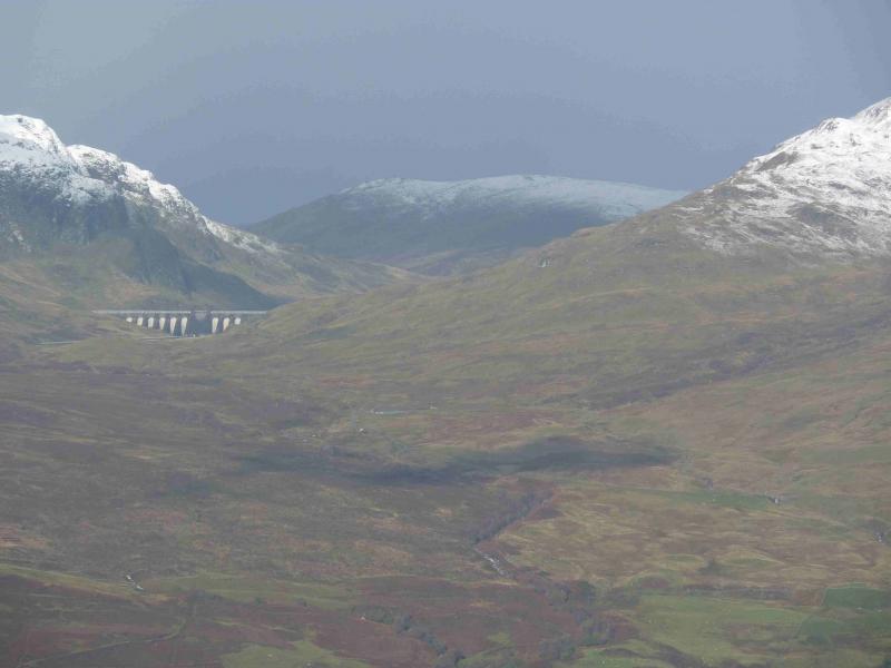
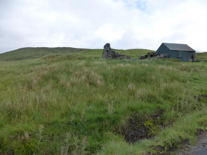
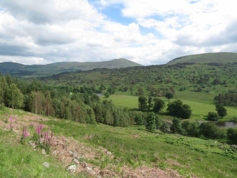
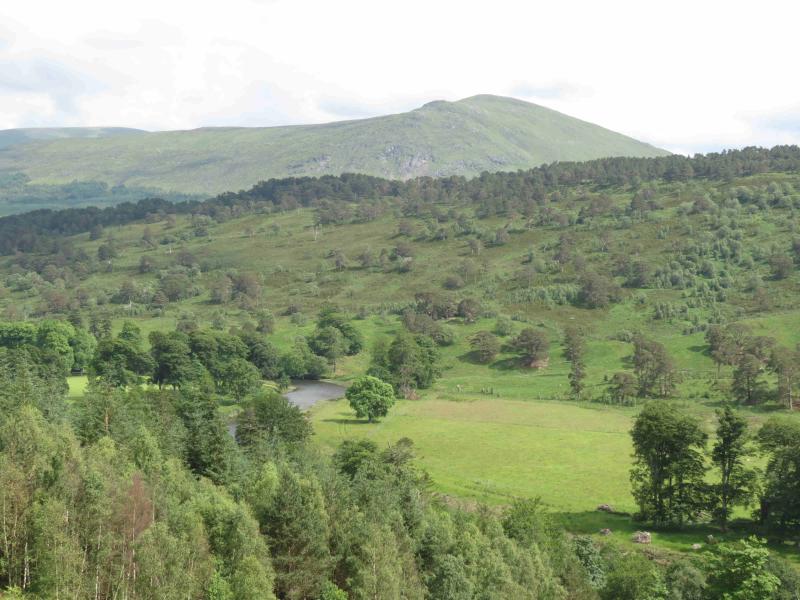
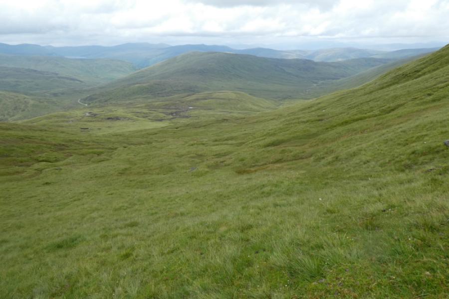
Meall nam Maigheach from Bridge of Balgie road Updated August 2023
Meall nam Maigheach from Bridge of Balgie road Updated August 2023
Start/Finish
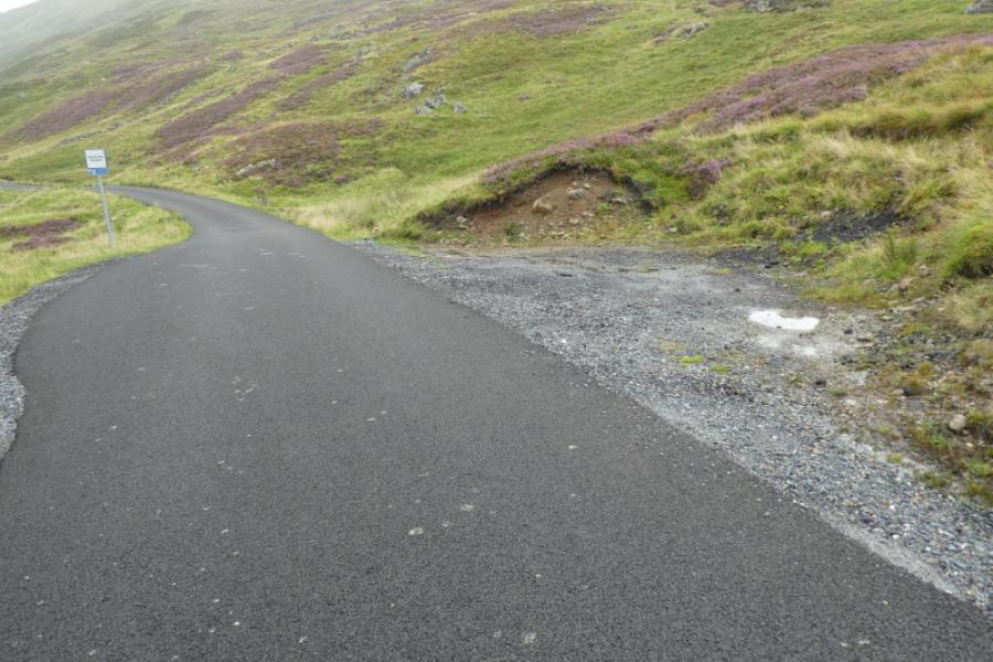
As close as possible to the shed and ruin on the OS Map at NN 582 417. This is on the road to the Bridge of Balgie from the A827 Killin to Kenmore road along the north side of Loch Tay. Drive up this road, steep in places, which is not treated in the winter so may not be accessible in the colder months. Higher up there are car parks on the left for Beinn Ghlas and Ben Lawers. Continue past Lochan na Lairige. About 500 m past the northern end of the lochan, the road turns left and then, after about another mile turns right with a large green shed on the right. Parking is very limited, often due to early arrivals not parking sensibly and taking up too much space. Some of the makeshift “lay bys” are deep enough to park at right angles to the road so please park sensibly. Do not park in the signed passing places.
Distance/Time
6 km About 2 – 3 hours
Peaks
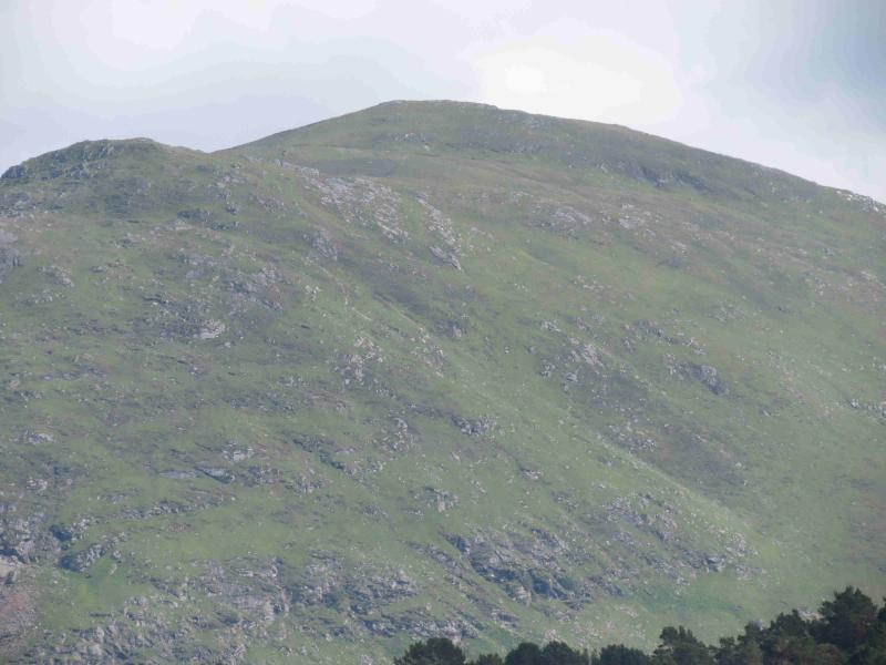
Meall nam Maigheach,, 779 m, NN 585 436. OS Sheet 51: Loch Tay
Introduction
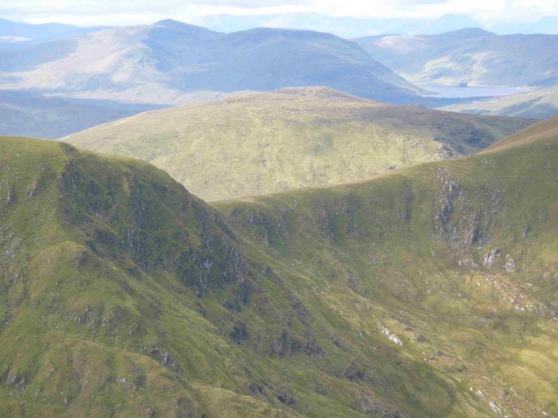
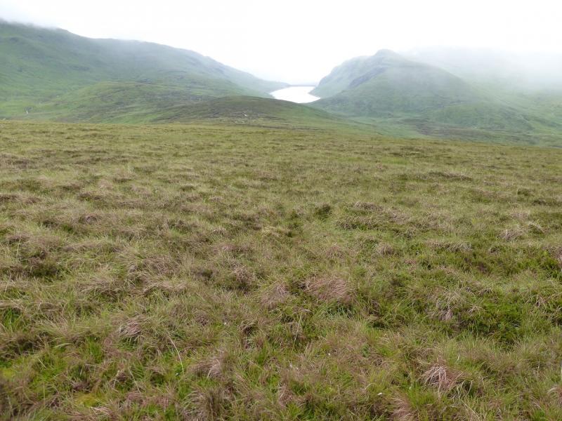
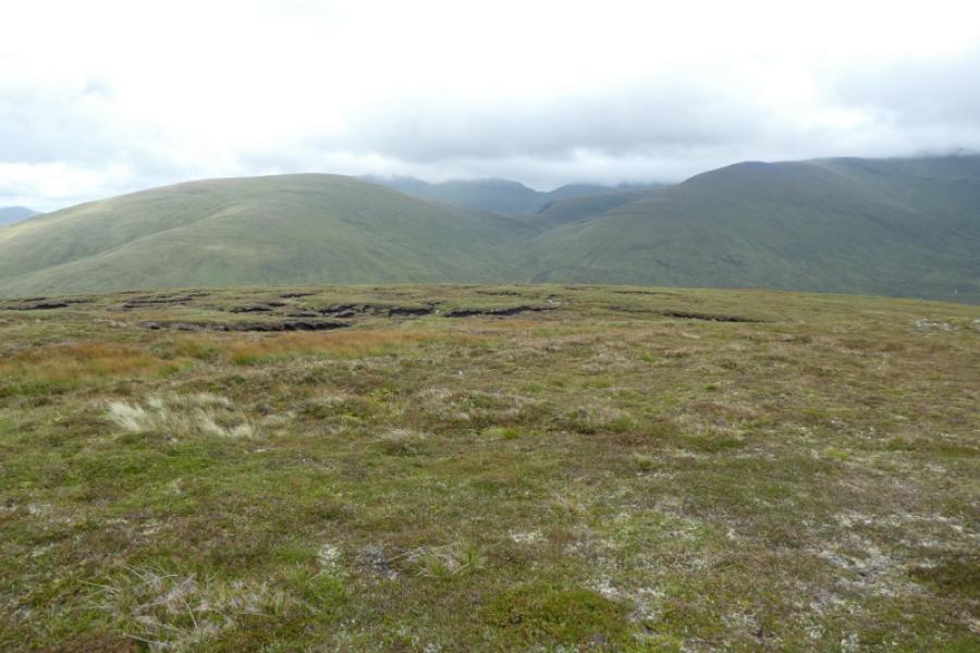
This is a fairly easy walk and many will reach the summit in little more than an hour. Navigation is very straightforward even in mist as a wall goes almost to the summit. This is an ideal peak for a bad weather day with a short good weather window. Many climb it when the higher surrounding hills are in cloud so do not realise how good a viewpoint it is. All the Ben Lawers range, Meall nan Tarmachan, Beinn nan Oighreag, Stuchd an Lochain, Meall Buidhe, Cam Chreag, Meall a' Mhuic, Beinn Dearg, Carn Gorm and Carn Mairg are all well seen on a clear day.
Route
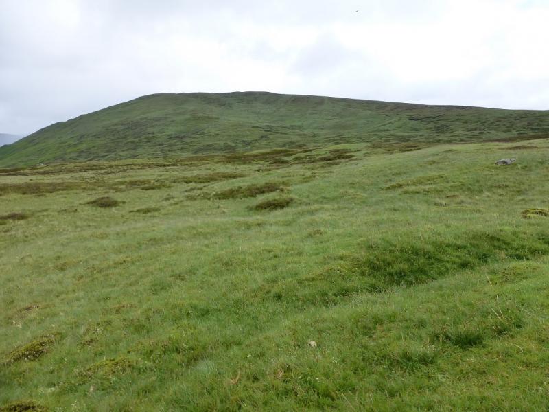
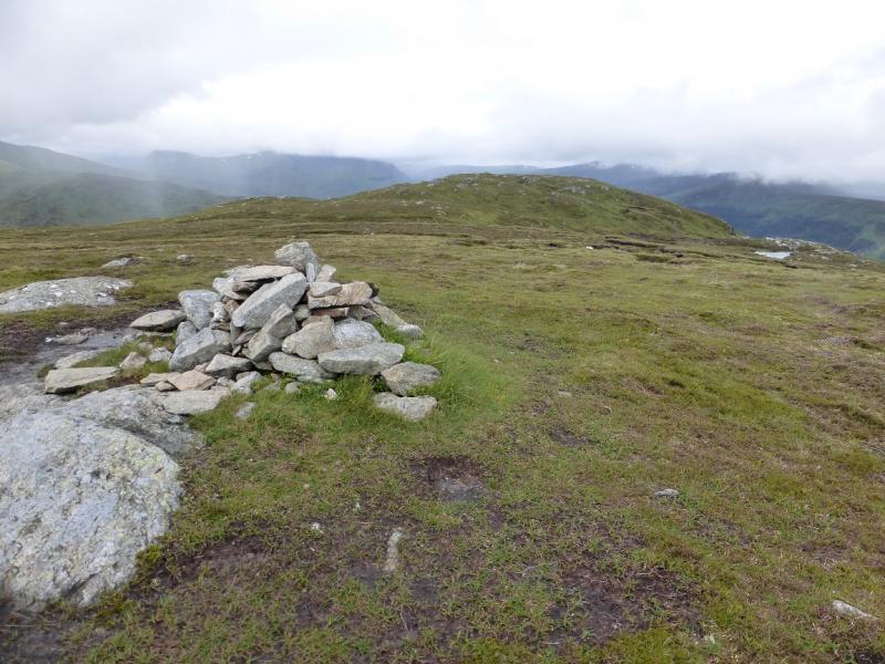
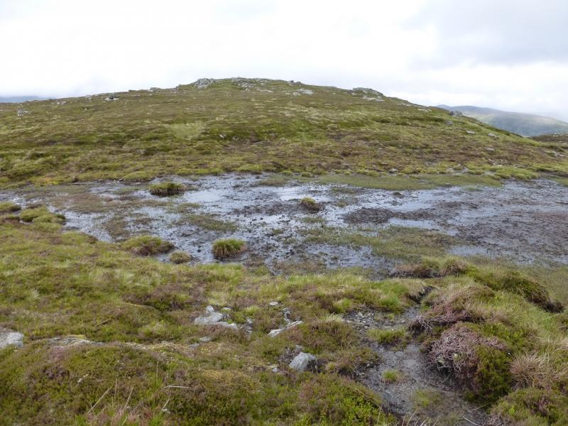
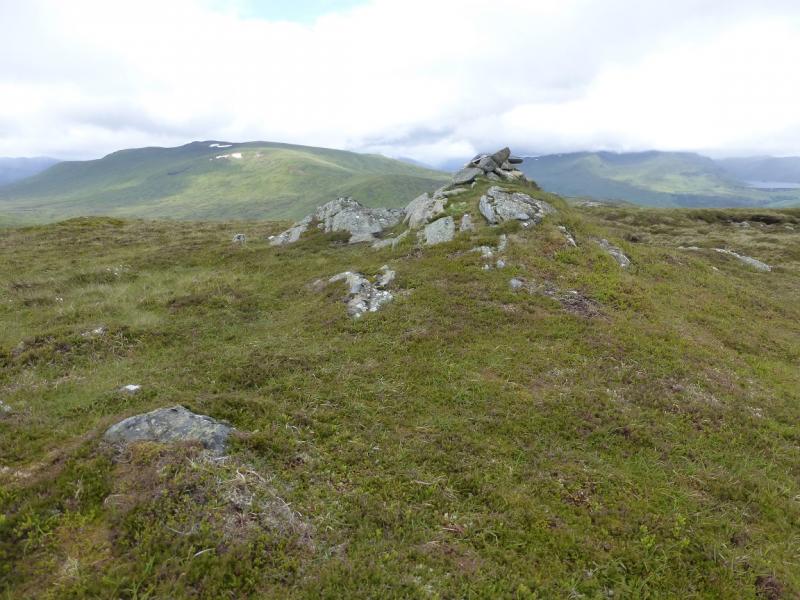
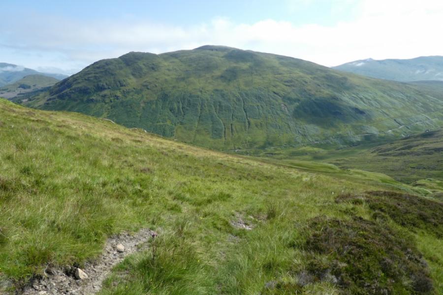
(1) Ascend to the left, N, of the ruin next to the shed and pick a way, roughly NE, up grassy slopes which can be wet and boggy in places. The ground undulates somewhat lower down but once steeper slopes are reached, the going becomes much more pleasant. Aim for anywhere on the S ridge above the col to Meall nan Eun, easily skirting any peaty areas. Once on the ridge, walk up gentle slopes to reach a plateau where a medium cairn marks the summit of Meall nam Maigheach,, 779 m. About 500 m to the WNW, lies another, slightly lower, top with a smaller cairn with the two cairns connected by a fairly obvious path. The lower top offers better views to the N which are even better if one continues a short distance beyond the cairn.
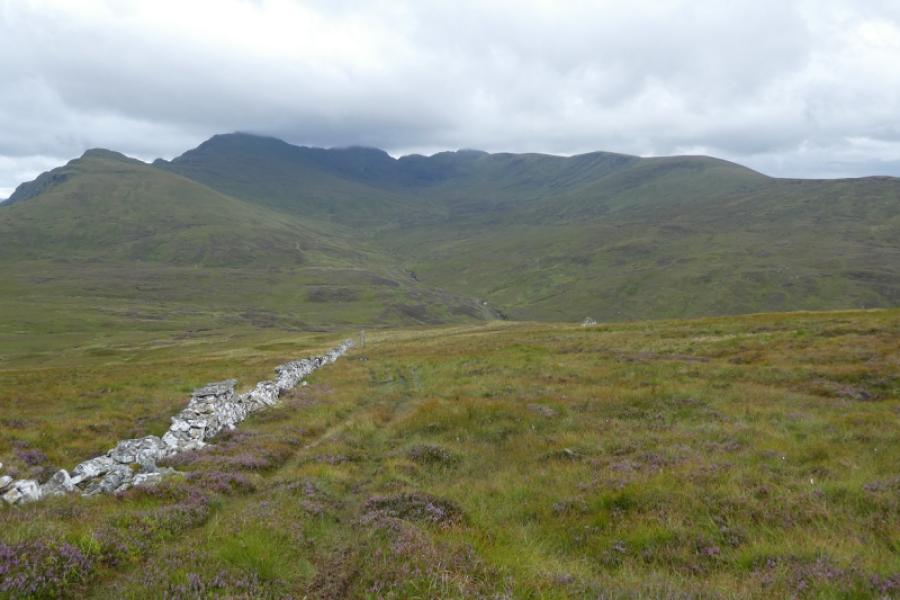
(2) Walk back towards the summit and see the top of a wall. Follow this down to the road – there is now an ATV track all the way down to the road – then walk the short distance back up the road to the start.
Notes
(a) This walk took place on 21st August, 2023, 7th July, 2015, and about 10 years earlier.
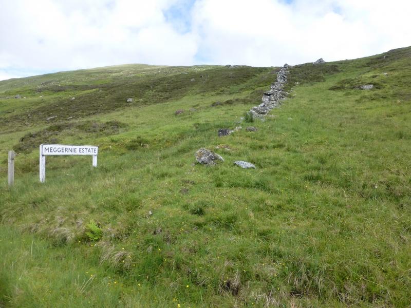
(b) In thick weather, it would be better to use the wall for both the ascent and descent so, coming from Loch Tay, drive past the shed to reach where the wall (it is the only wall) crossing the road by a sign for the Meggernie Estate. Walk up the wall to its end then continue for a few metres to reach the path on the crest. Turn right and soon reach the summit cairn.
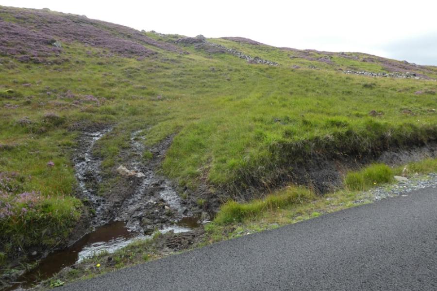
(c) Given the existence of the ATV track by the wall, using this would now give the quickest way up and down. In ascent, follow it to its end. The summit is slightly off to the right with the lower top further off to the left. If using the wall ATV track both ways then it is best to park lower down the road where there is a deep parking space opposite a passing place just before the road crosses a stream just above the Meggernie Estate sign. If using this parking space then park at right angles to the road so space is left for others to park.
Photos - Hover over photo for caption. Click on to enlarge. Click on again to reduce.