Get Lost Mountaineering
You are here: Scotland » 08 Cairngorms and Buchan » Eastern Cairngorms to Lecht Road
Beinn a' Bhuird & Tops from Keiloch
Beinn a' Bhuird & Tops from Keiloch
Start/Finish
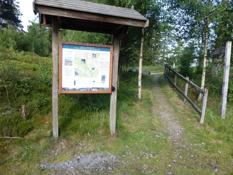
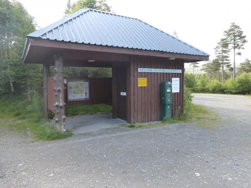
Keiloch walkers' car park which is well signposted off the A93 Braemar to Ballater road. From Braemar, drive towards Ballater for about 3 miles. The turning is on the left, just after the Invercauld Bridge over the River Dee. The car park is pay and display. It was £2.50 per day in 2015. There is a shelter and a toilet plus some information.
Distance/Time
15 km bike + 19 km walk. About 10 - 11 hours.
Peaks
Beinn a' Bhuird South Top, 1179 m, NO 093 986.
Beinn a' Bhuird North Top, 1197 m, NJ 092 006.
Stob an t-Sluichd, 1107 m, NJ 112 027.
Cnap a' Chleirich, 1174 m, NJ 107 010. OS sheets 36 & 43.
Introduction
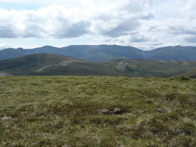
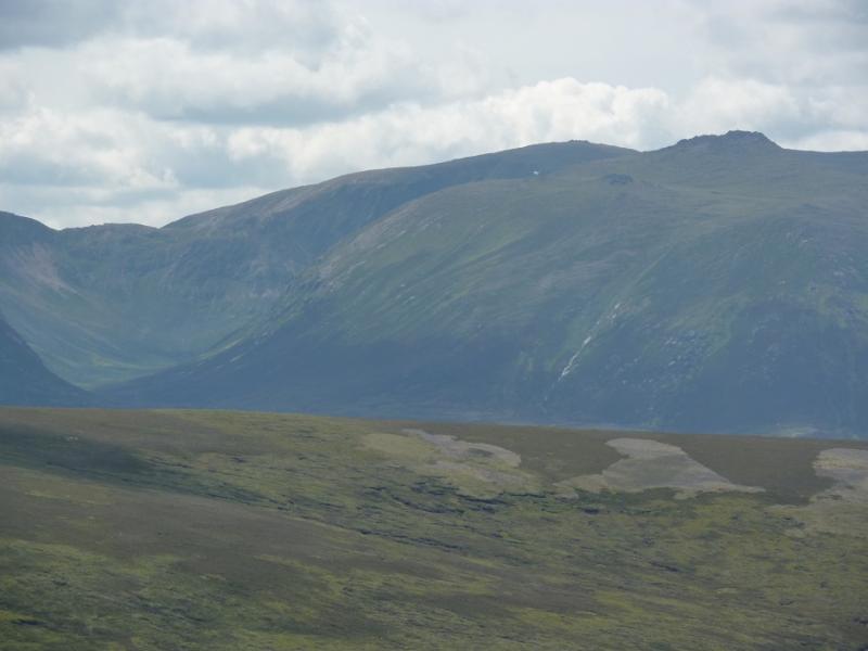
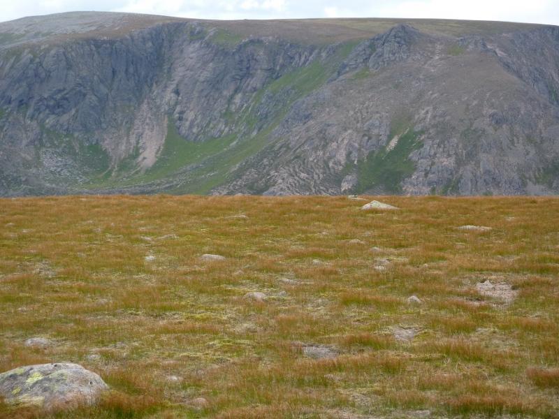
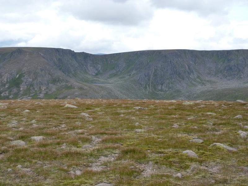
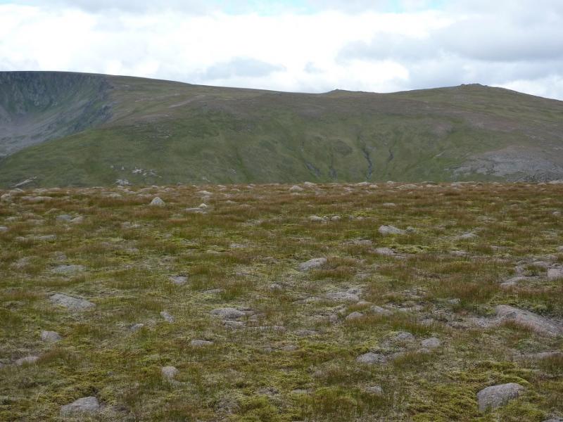
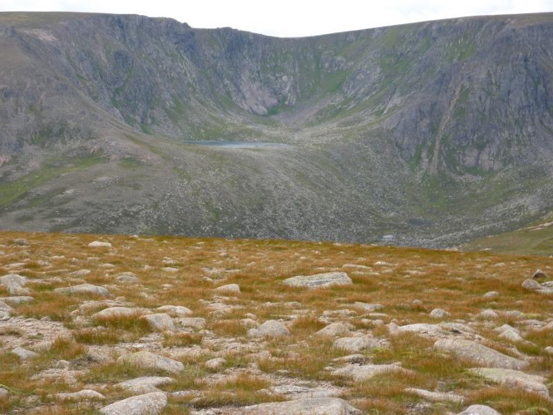
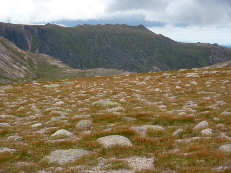
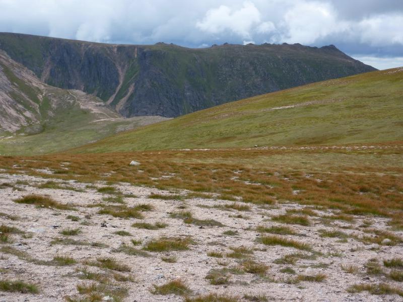
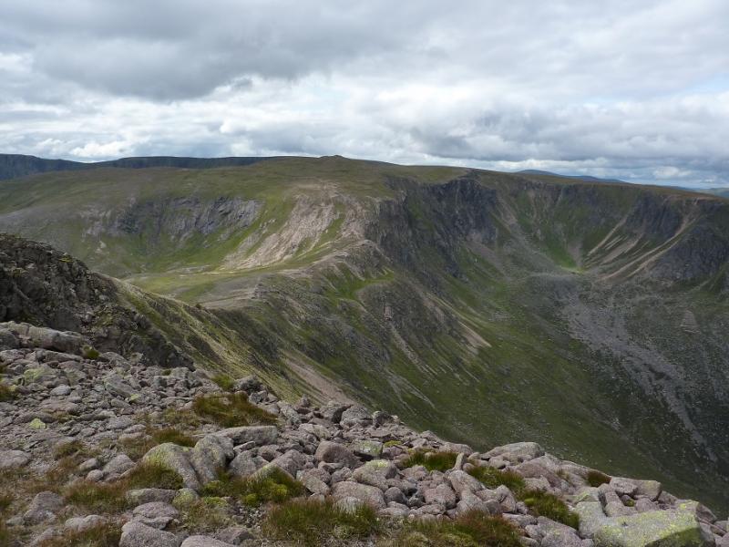
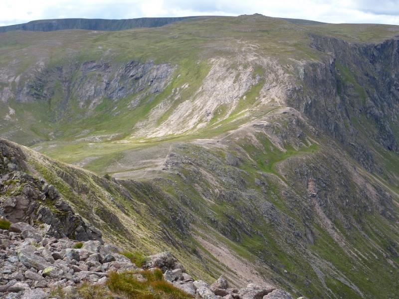
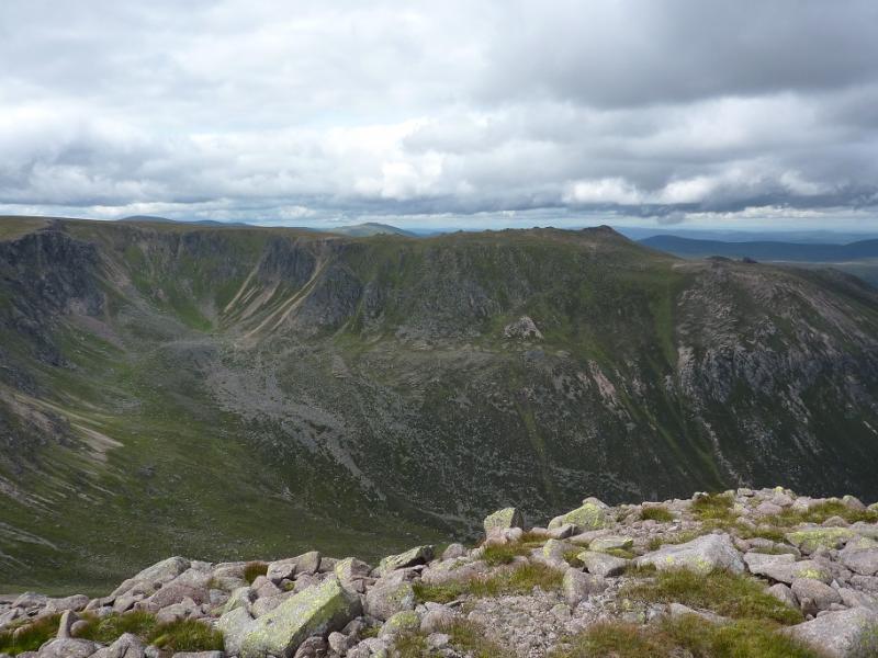
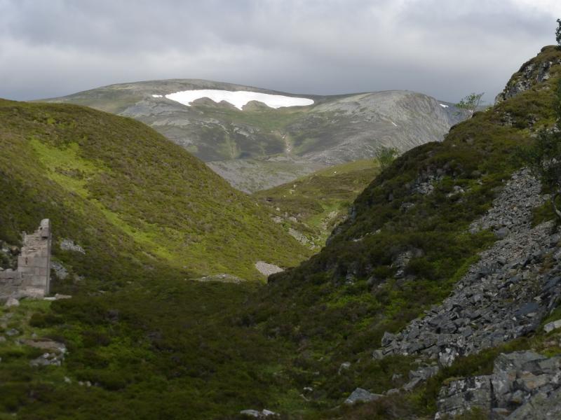
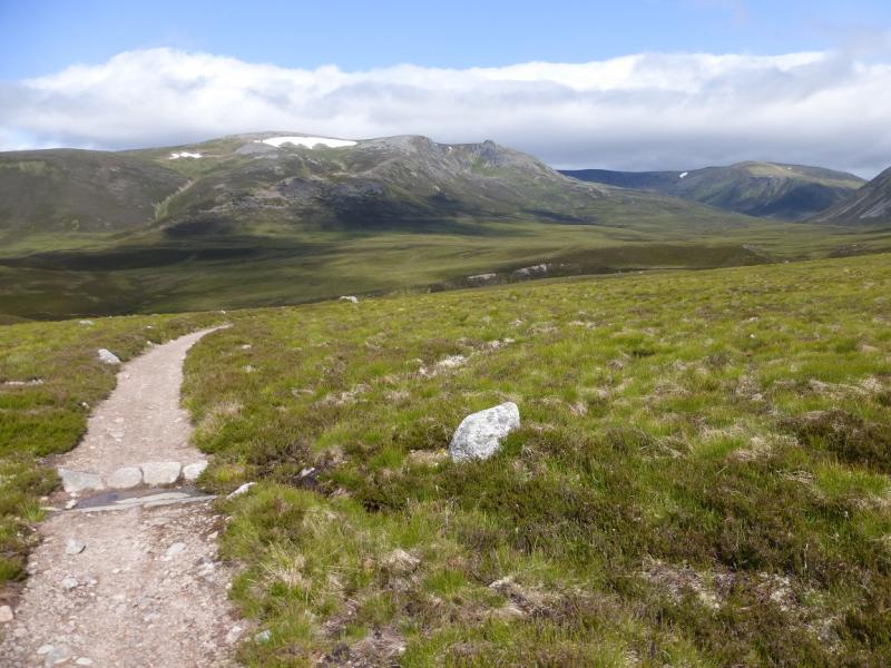
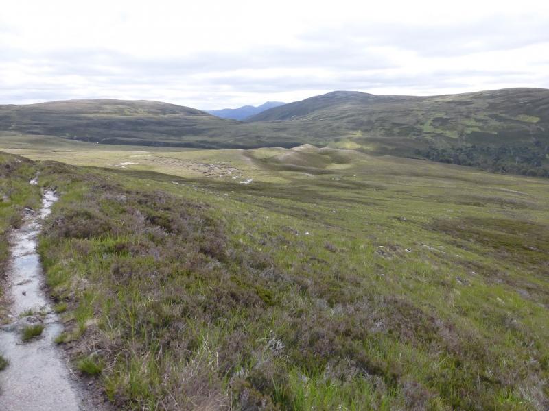
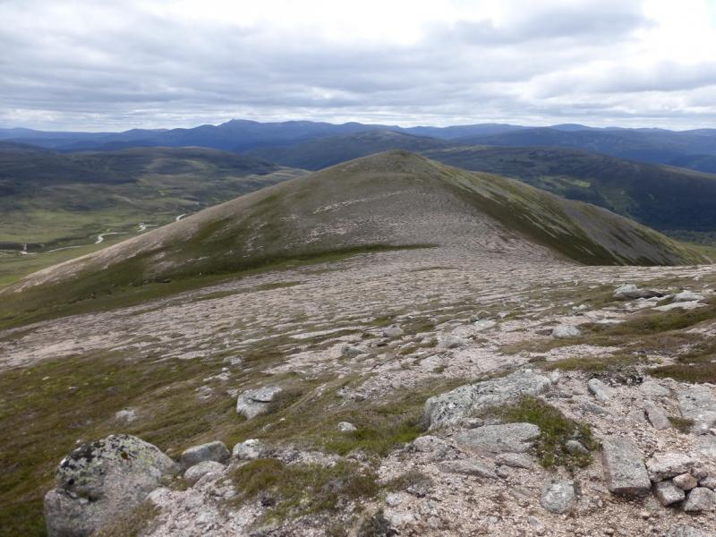
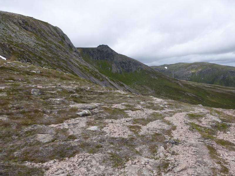
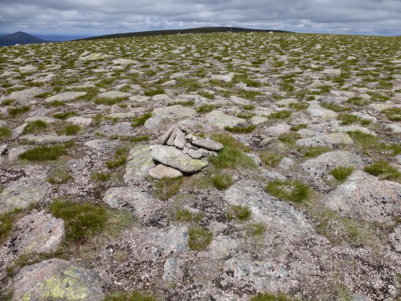
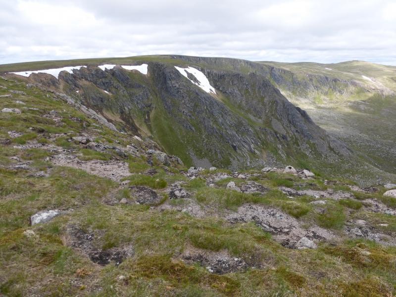
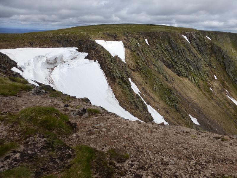
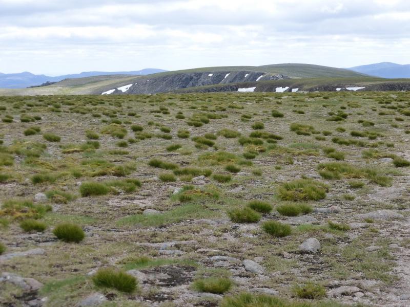
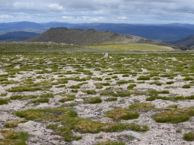
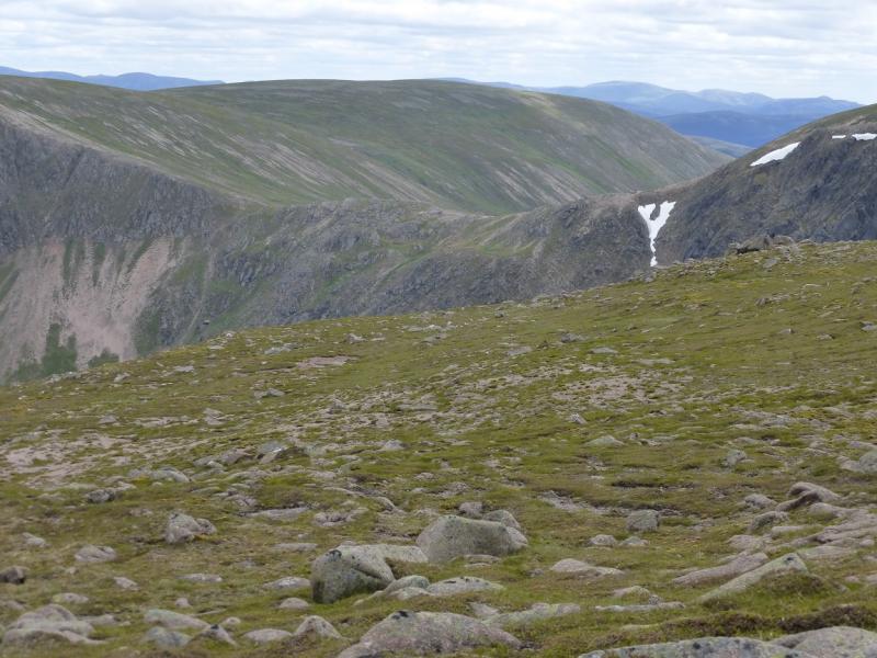
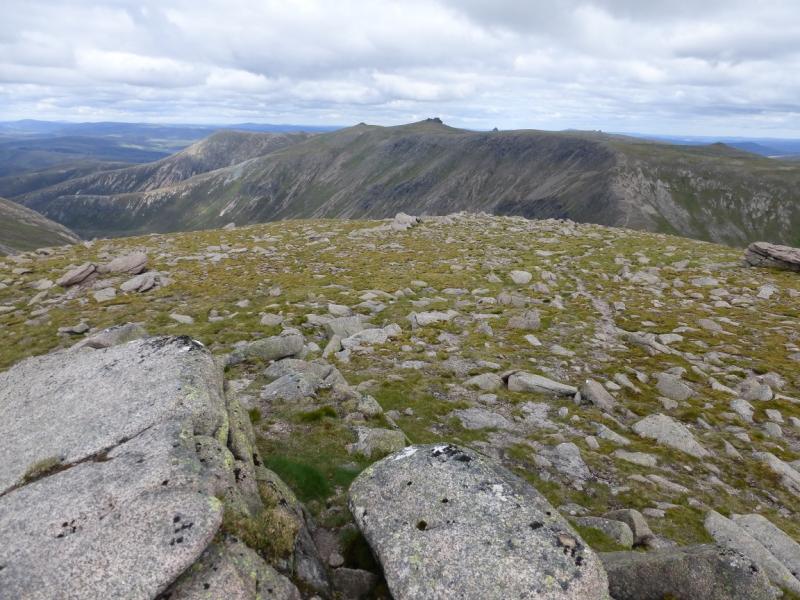
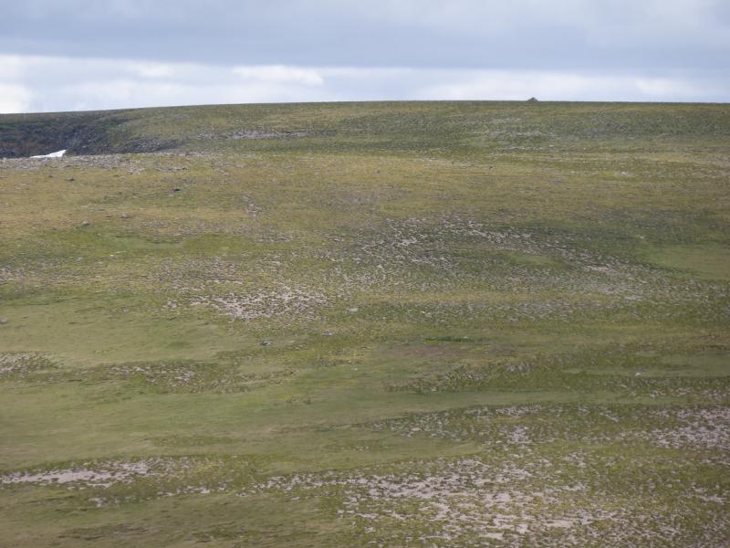
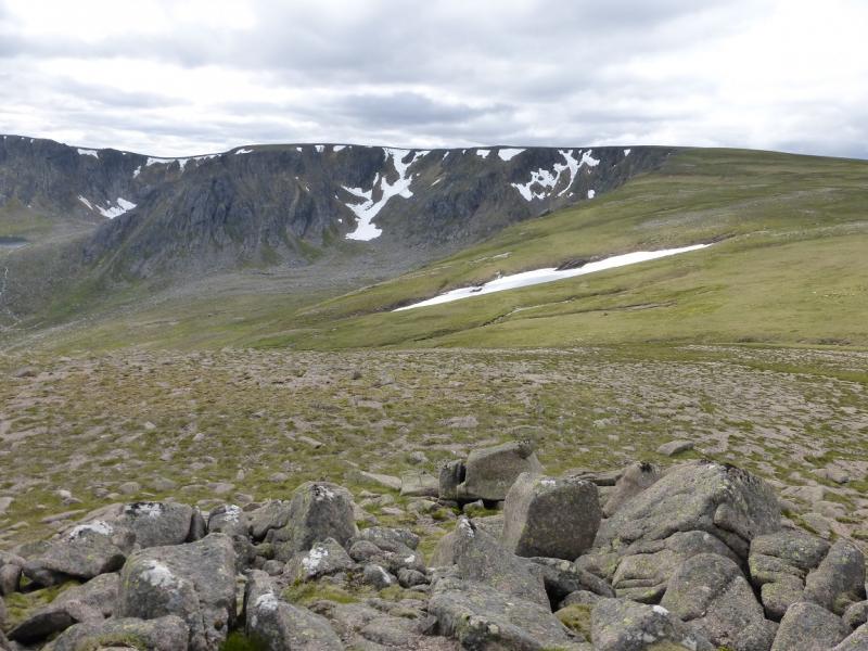
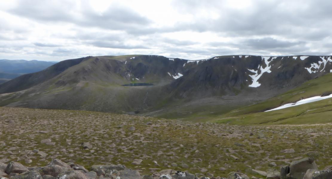
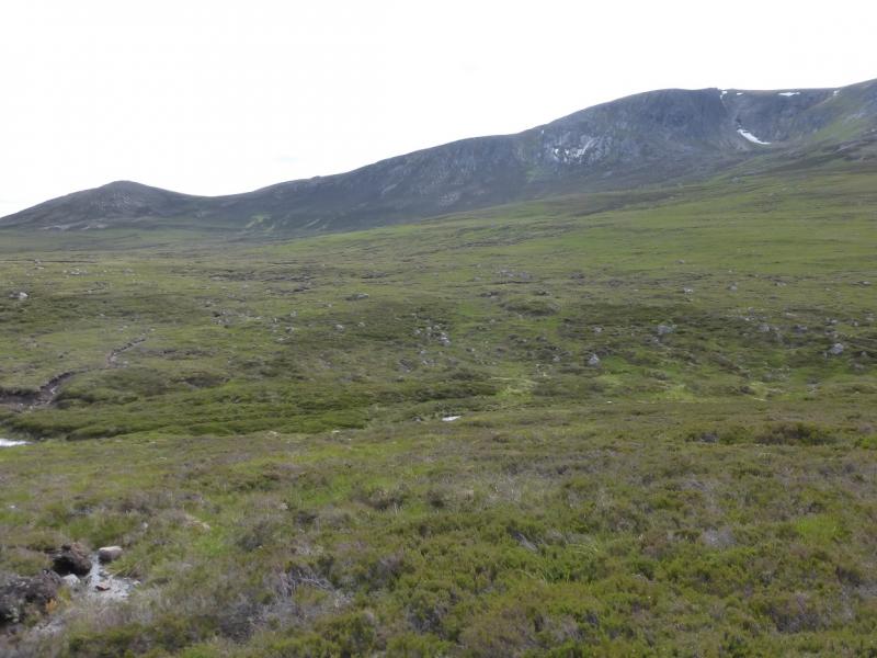
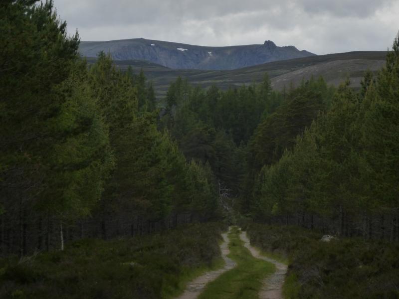
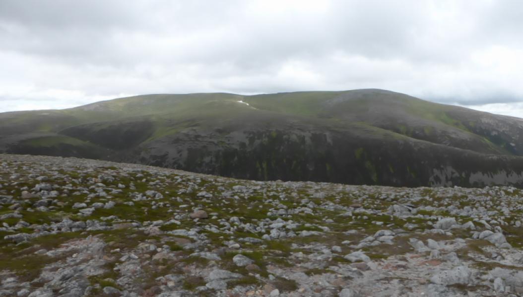
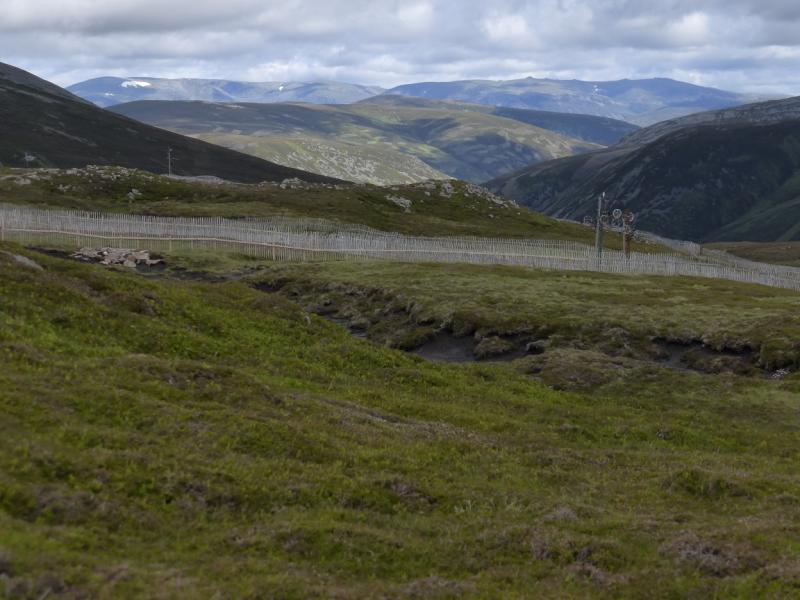
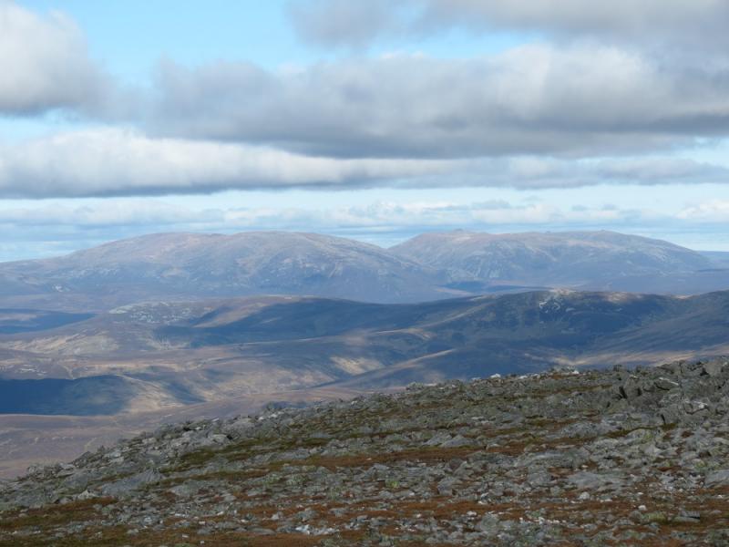
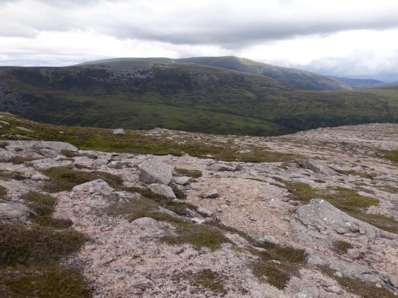
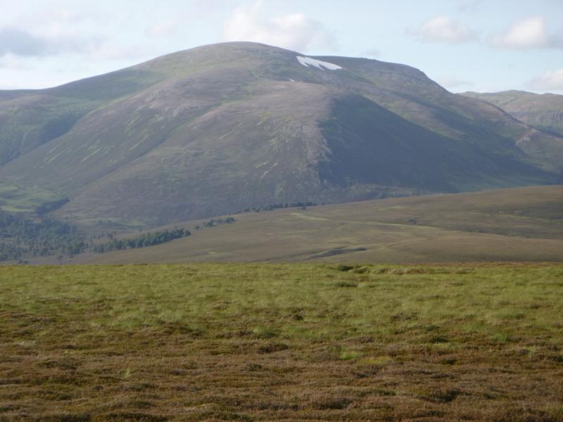
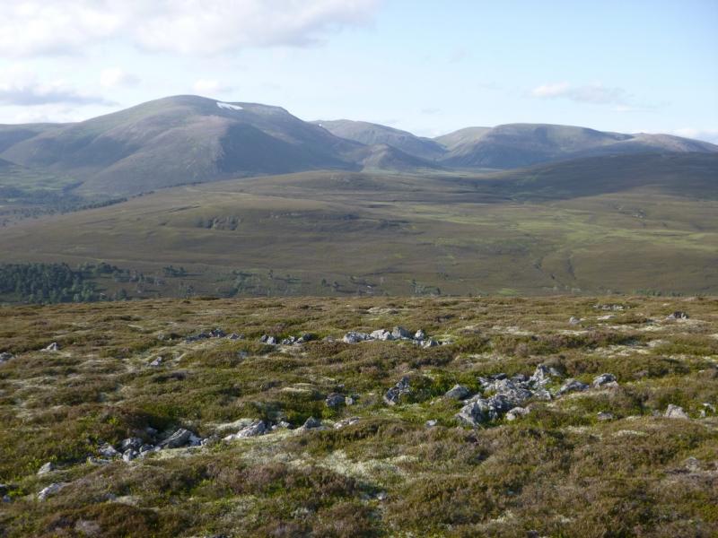
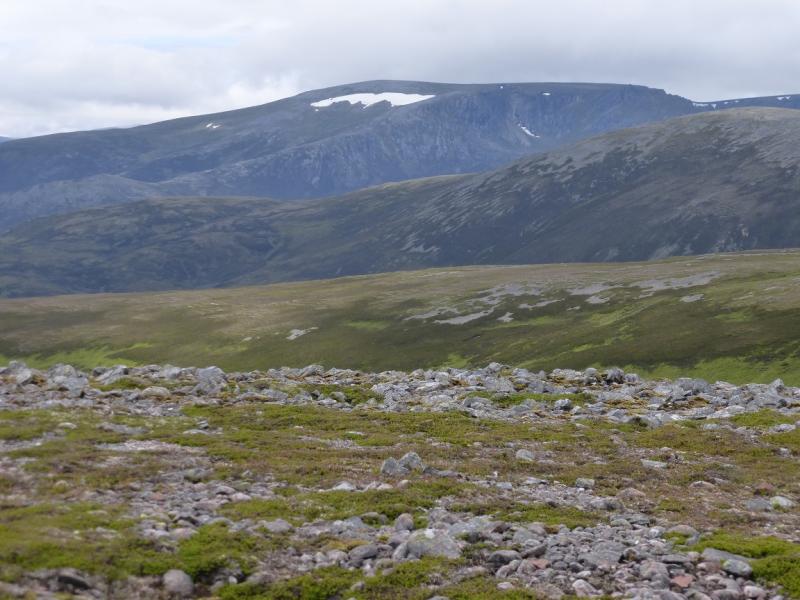
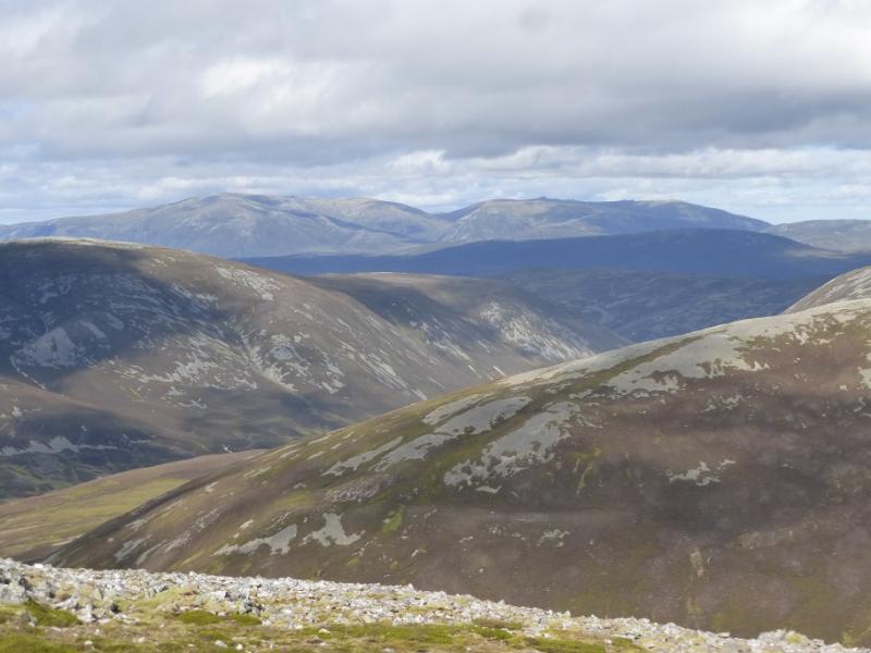
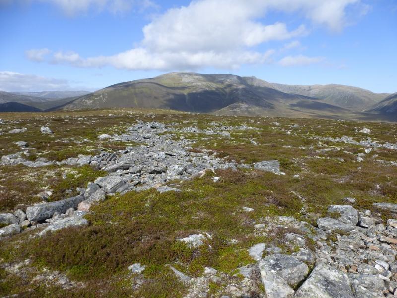
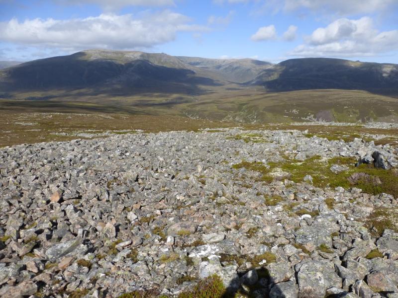
This is obviously a tough walk over some very high tops but using a bike considerably helps and there are good paths on much of the route. On the outward route, Quoich Water is crossed at NJ 111 959. There is a good path to this crossing and on the other side but it can be very difficult to cross here – impossible in spate conditions. On 10/7/15, there was no bridge or stepping stones. The South Top has been “moved” in Munro's Tables and is now about 800 m north of where it used to be. The old South Top had a large cairn so it was obvious when one was there. There is a cairn close to the new grid reference – it is about 150 m south west of the reference – and it is a very small cairn indeed. Even in clear weather, no other cairn is obvious. The ground is very flat and it is difficult to tell where the highest point actually is but either the grid reference is wrong or the GPS was inaccurate on the day. They can't both be right! The best feature of Beinn a' Bhuird is its east facing corries which are well seen from Ben Avon. This route gives as good a view as possible of them by descending the south ridge of Cnap a' Chlerich which also avoids much of the rough stony path from The Sneck (col between Beinn a' Bhuird and Ben Avon). The best of the tops is Stob an t-Sluichd which is a rocky spur out to the north. On a clear day, the views are superb, especially to the adjacent Ben Avon (to the east), but most of the main Cairngorm peaks are visible as is Lochnagar. The featureless nature of the high terrain suggests that this walk is kept for a clear day.
Route
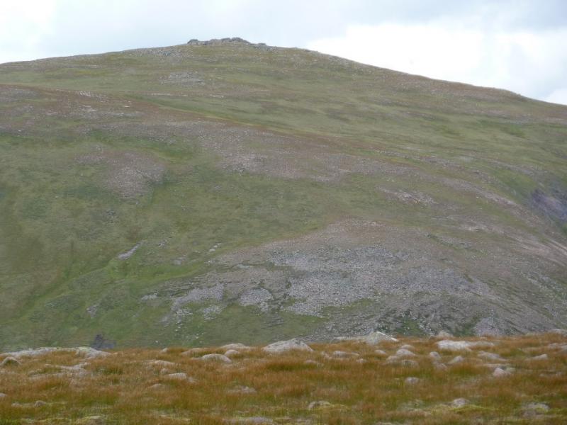
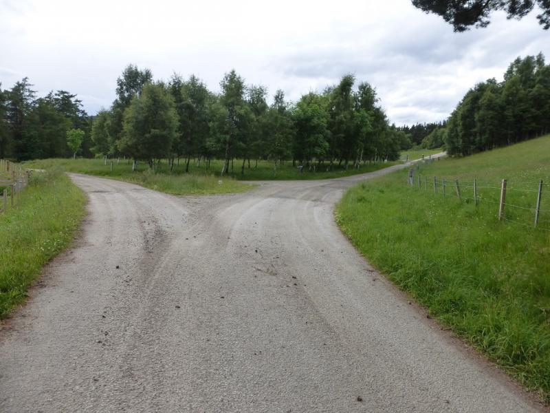
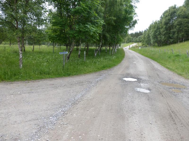
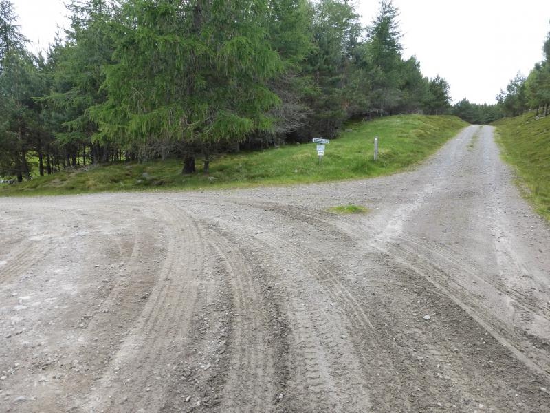
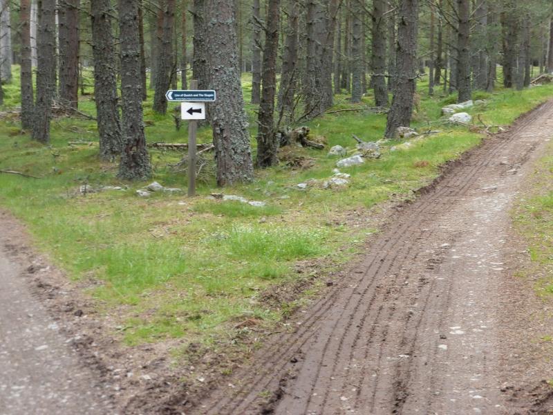
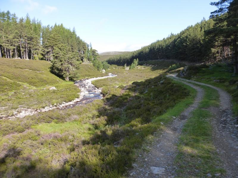
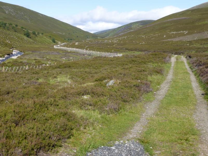
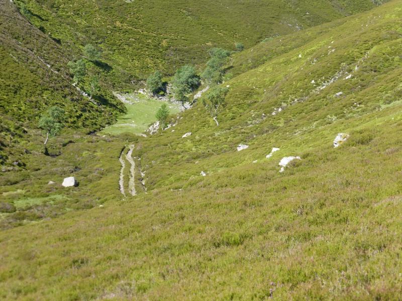
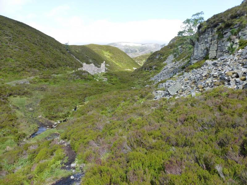
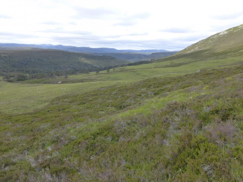
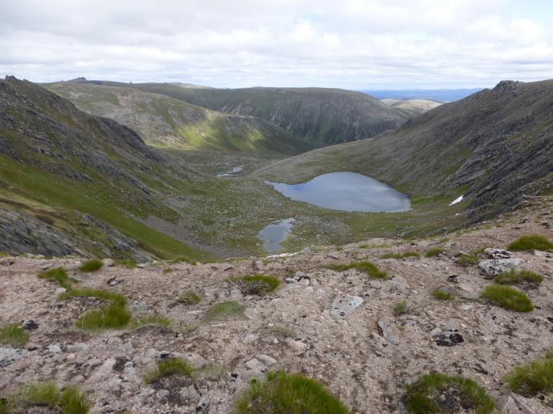
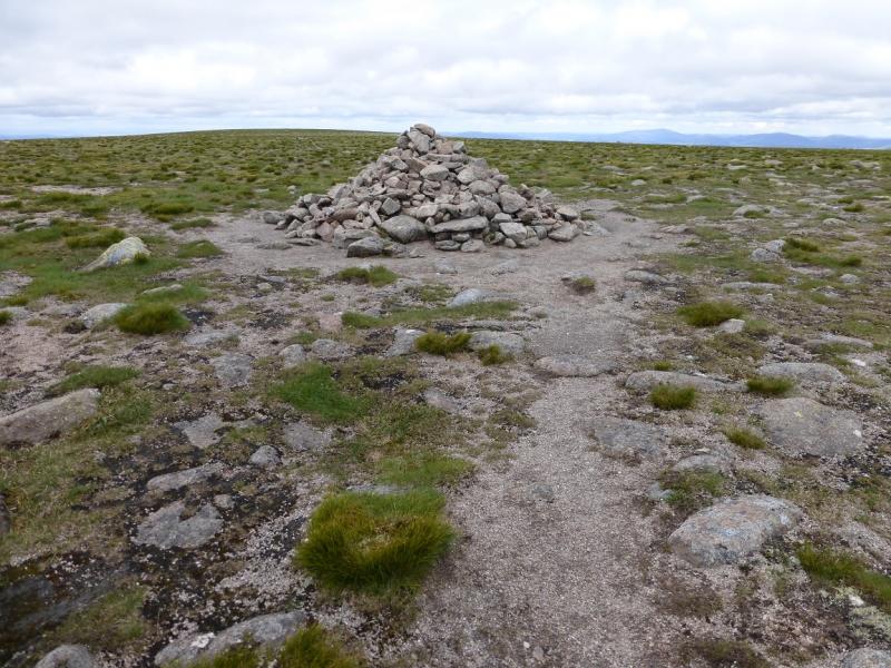
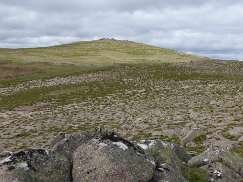
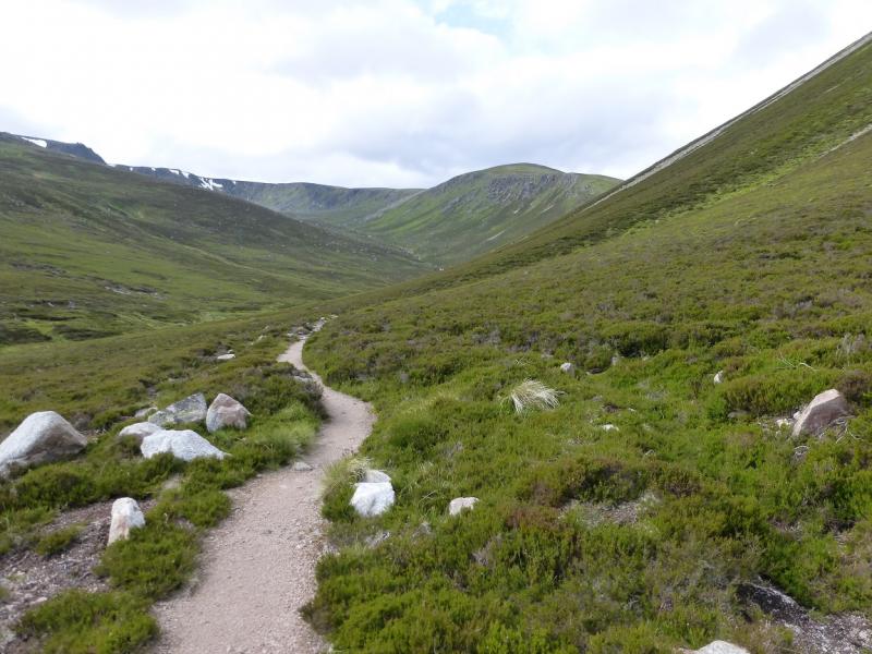
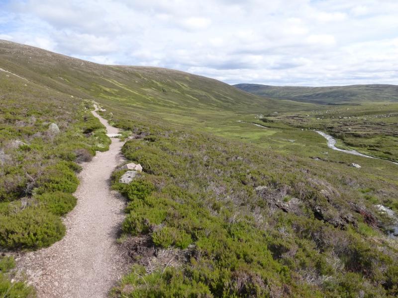
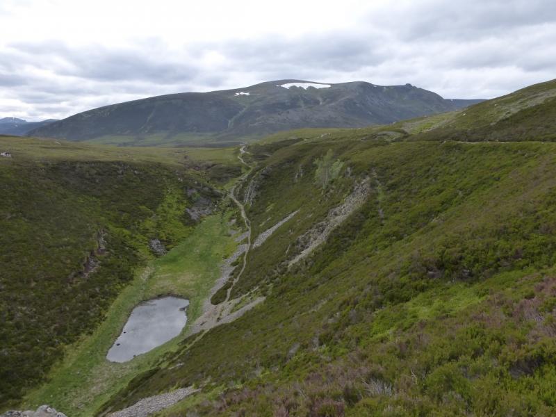
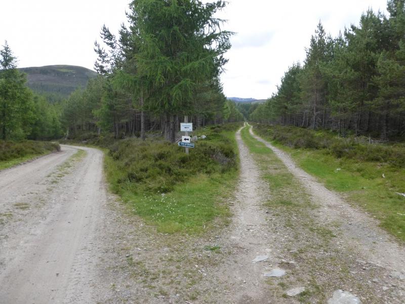
(1) Walk or cycle up the road from the car park. It is tarmac for some distance. Go past Invercauld House (not seen). There are some signs. Follow those for the Linn of Quoich and The Slugain. If there is no sign continue ahead!When the sign only says Linn of Quoich (left fork) then take the right fork which is a track through a wide clearing in the forest. Before long, it joins the river and continues up: NW then WNW. It is not really steep anywhere. Some wide streams are crossed but these shouldn't be a problem. Once clear of the trees, continue for over 2 km to where the track splits. Ignore the left fork and continue up the track as far as you can get then leave the bike and continue up the track, rough and stony in places. Pass the ruin, well below to the left, and continue to the high point before starting to descend towards Quoich Water. One can either follow the path shown on the map then branch off or take a “shortcut” across some wet ground to reach the crossing more directly. As stated above, this will be awkward unless in a very dry spell and may have to be waded (see notes below for some hints). The water may be up to 50 cm deep, more in spate, and fast flowing over rocks. On 9/7/15, a crossing point was found by going upstream to the next island, after the one by the path's crossing point, then carefully picking a way across. Once across, head up an obvious green grassy strip, which may be wet, to intersect with a path. This seems to be heading E rather than N but follow it as it meanders around and is the path shown on the map which goes up the W side of Carn Fiaclach. Higher up, it is a good path. Once on the crest, N of Carn Fiaclach, continue up the ridge, more or less on the crest. When a boulder field is reached, the path goes up its left side before regaining the crest higher up. It is worth going to the edge of Coire na Ciche then heading WNW to the highest part of the very flat plateau where there is a very small cairn (which may or may not be in the correct location as stated above!) which seems to mark the summit of Beinn a' Bhuird South Top, 1179 m.
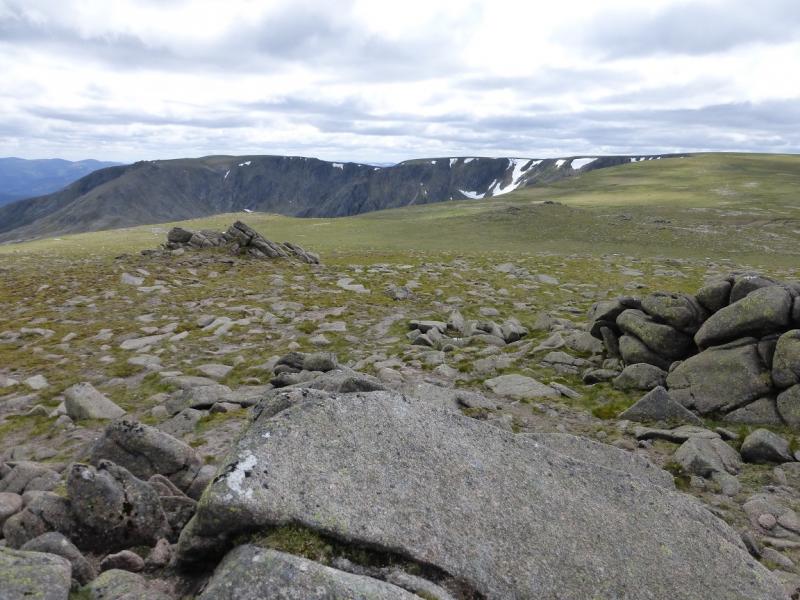
(2) After this uncertainty, the way ahead, in clear weather, is fairly obvious. Head N and follow the corrie rim before leaving it, or not, to make a direct line for the summit. It is worth looking down to Dubh Lochan in the corrie. Again this is over very featureless ground but there is a path and in about 2 km, reach a large cairn which is the summit of Beinn a' Bhuird North Top, 1197 m, the highest point on the mountain.
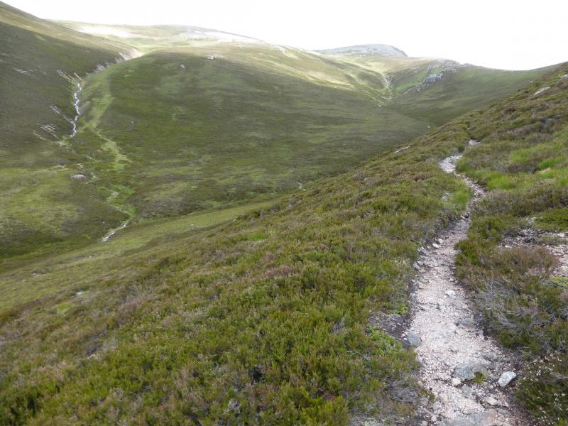
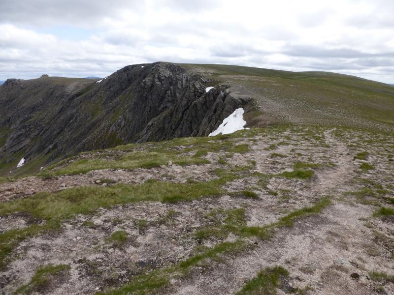
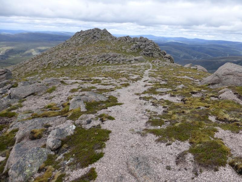
(3) Descend easy, mainly grassy slopes, NE, aiming for the most westerly part of the rim of Gairbh Choire. Follow the rim N but leave it at the foot of spur N to Stob an t-Sluichd. Go easily along the rocky spur – there is a path on the right of the outcrops – until the path leads on to the crest. The highest point is an outcrop (no cairn) which is the summit of Stob an t-Sluichd, 1107 m.
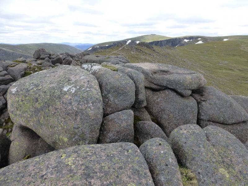
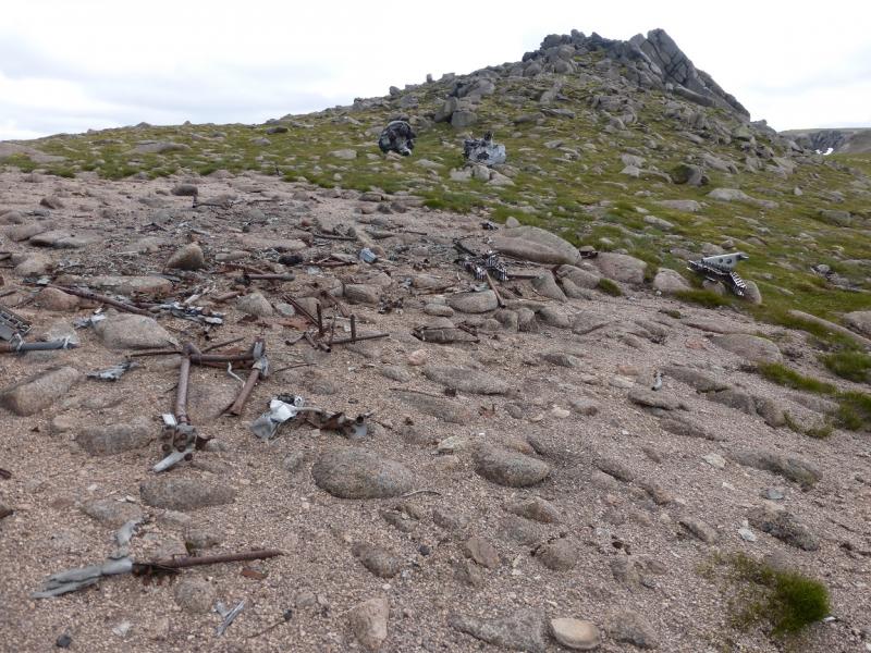
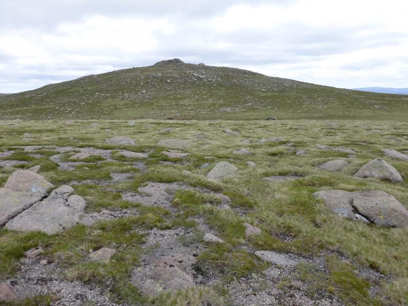
(4) Retrace along the ridge with good views of The Sneck. If one looks right, some aircraft wreckage (not much left) may be seen. Rejoin the corrie rim of Garbh Choire but leave it when it turns E and ascend easy slopes SE to reach a top with outcrops on it. The highest seems to be the most easterly but they are close and all are easily ascended. This is Cnap a' Chleirich, 1174 m. Again, there is no cairn.
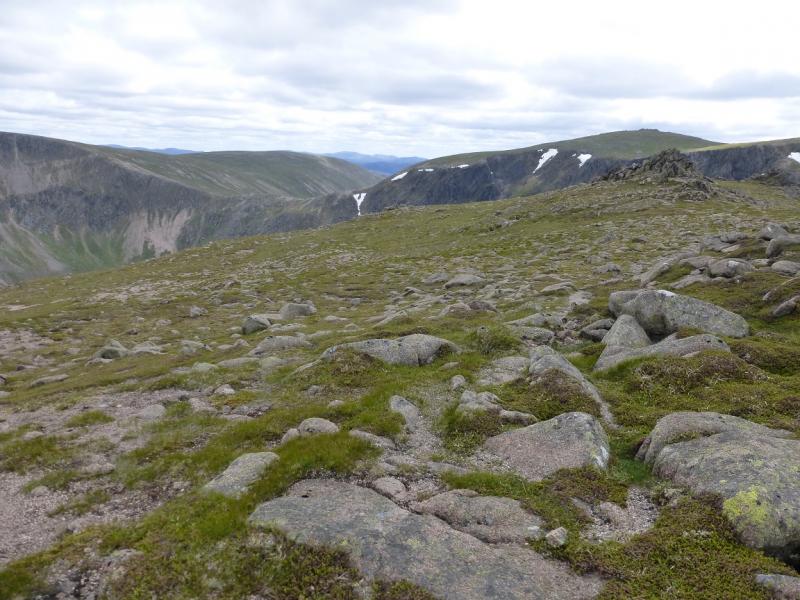
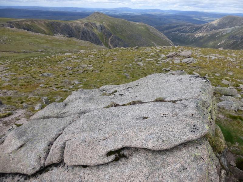
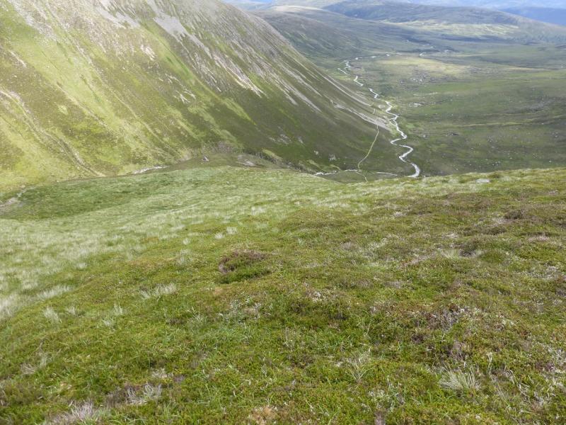
(5) Descend S down easy slopes with good views to the right, W, of the eastern corries of Beinn a' Bhuird, especially if one keeps to the right of the crest. Lower down the ridge steepens and goes more SSE but the ground is medium grass and dwarf heather which is ideal for such a descent. Any crags are well over to the right and should not be encountered. Way down below is a large isolated boulder. The path coming down from The Sneck should be clearly visible. When lower, drift right to meet this path as late as possible as it is rough and stony before suddenly improving. Follow the path to the stream flowing down from The Sneck. This is a much easier crossing than earlier but not that easy! Once across, follow the path easily back to the head of Gleann an t-Slugain and the bike for an easy return back to Keiloch.
Notes
(a) This walk took place on 9th July, 2015, and about 10 and 20 years previously.
(b) One way of crossing a deep stream and staying dry is to carry a very light pair of beach sandals, or similar, and a very small towel. Put these on to cross so that the soles of the feet are protected then dry your feet before putting back on your socks and boots. Another way is to carry sturdy bin liners and put these over your legs and boots but they will need to be tied on.
Photos - Hover over photo for caption. Click on to enlarge. Click on again to reduce.