Get Lost Mountaineering
You are here: Scotland » 07 Glen Shee, Cairn O'Mount and Glen Clova to Glen Esk » Glas Maol Hills to Blairgowrie
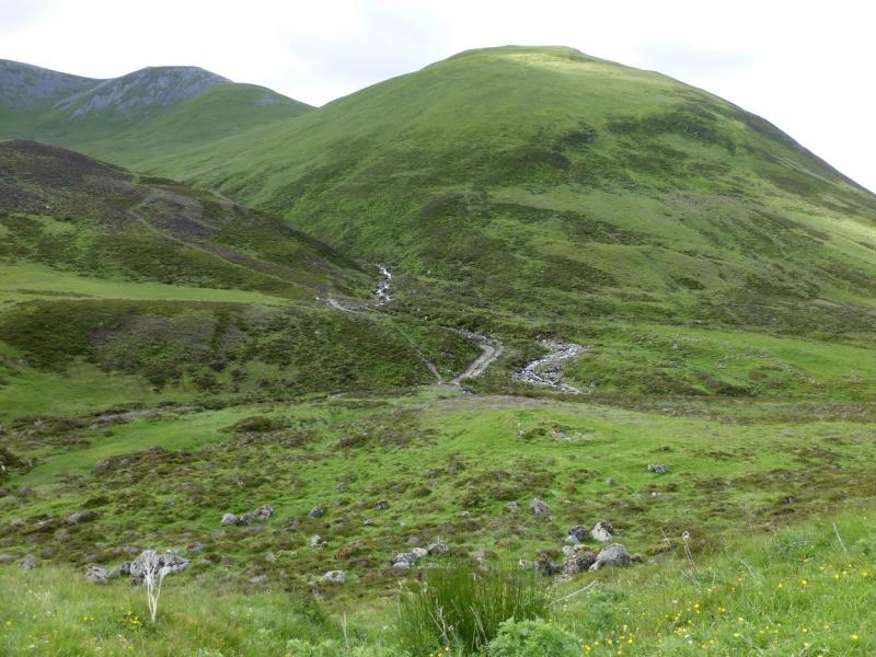
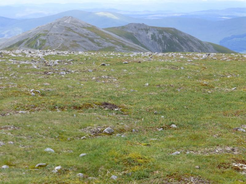
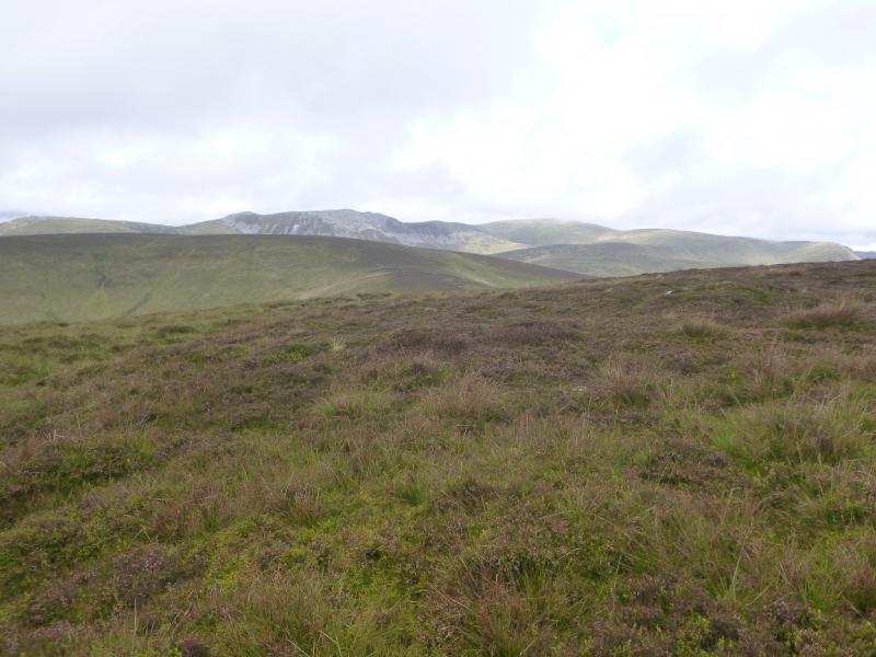
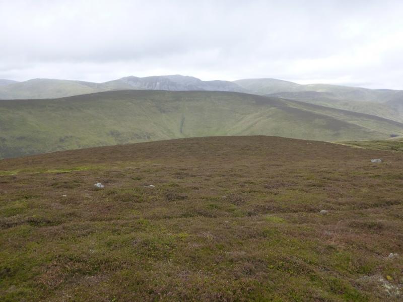
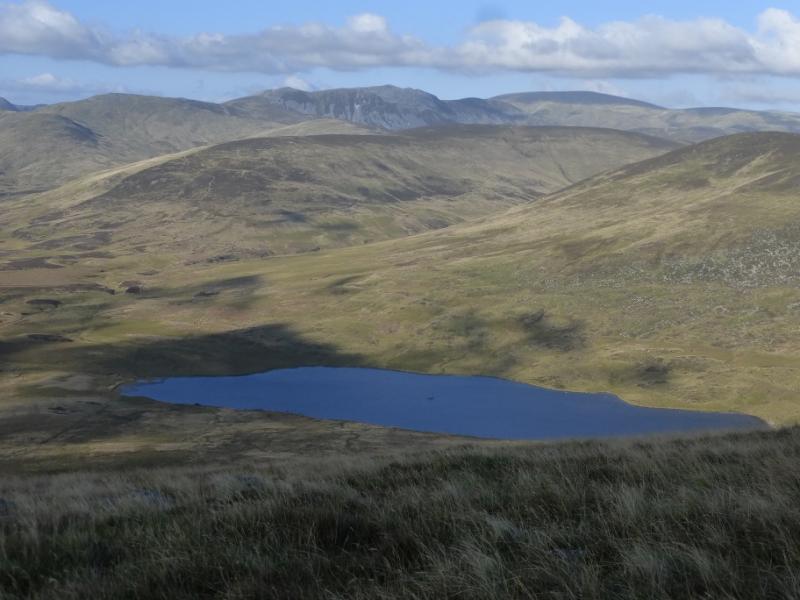
Glas Maol & Creag Leacach from Top of Glen Shee Pass
Glas Maol & Creag Leacach from Top of Glen Shee Pass
Start/Finish
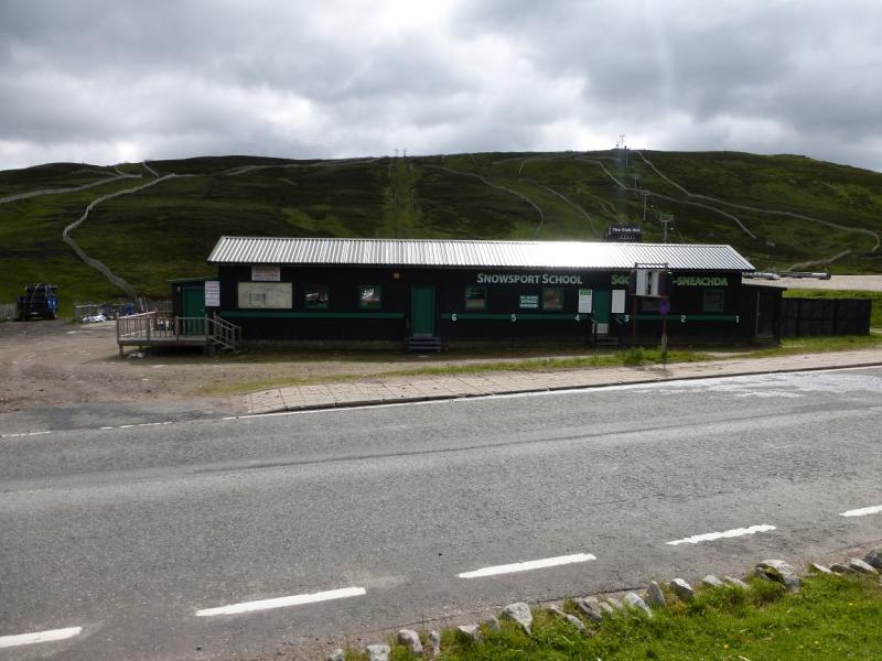
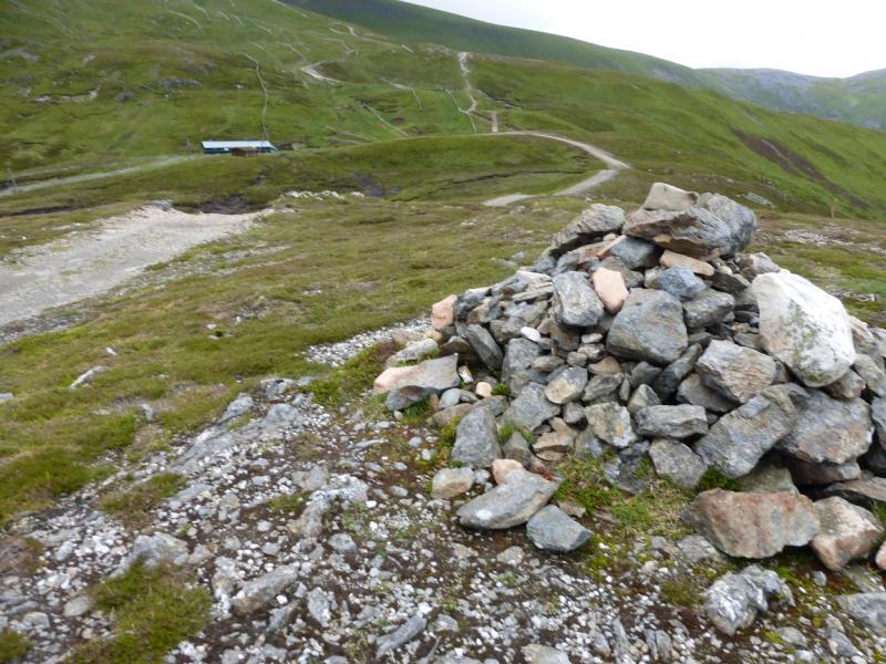
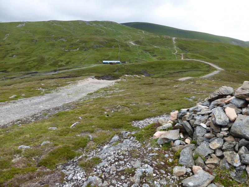
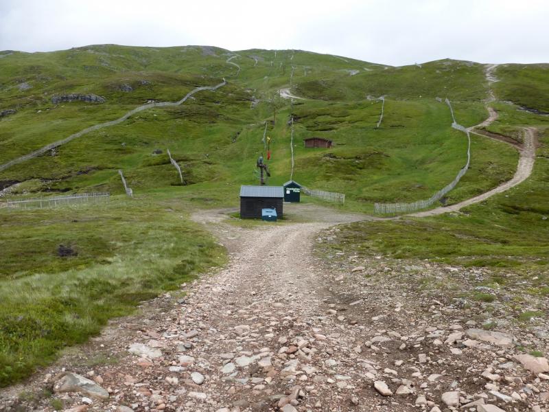
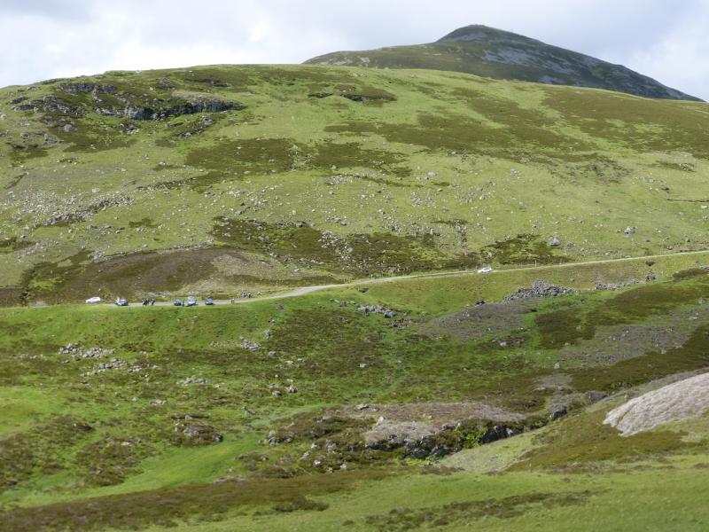
Top of the Glen Shee Pass (Ski area) which is about 9 miles south of Braemar on the A93. Despite the horrendous appearance of the top of the pass, the cafe is quite good and there are toilets. The cafe is at a height of about 650 m which gives a good start. This walk is best with two cars as the sensible finish is at the bottom of the pass. Options for one car are in the notes below. In winter, access to the top of the pass may be blocked by snow although much effort is made to keep the road open for ski slopes.
Distance/Time
12 km (two cars). About 4 hours.
Peaks
Meall Odhar, 922 m, NO 156 773.
Glas Maol, 1068 m, NO 167 765.
Little Glas Maol, 973 m, NO 175 758.
Creag Leacach, 987 m, NO 154 745.
Creag Leach SW Top, 943 m, NO 149 741. OS sheet 43.
Introduction
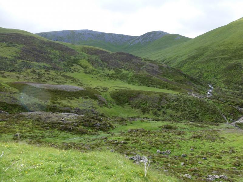
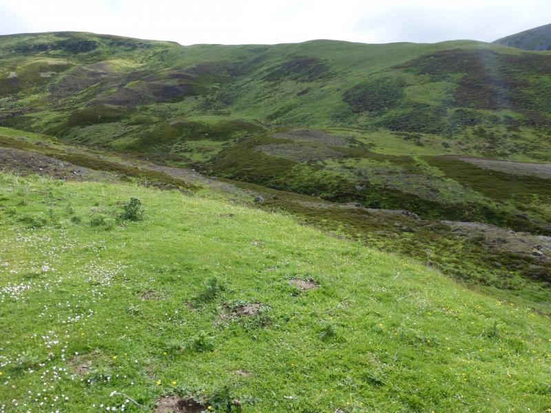
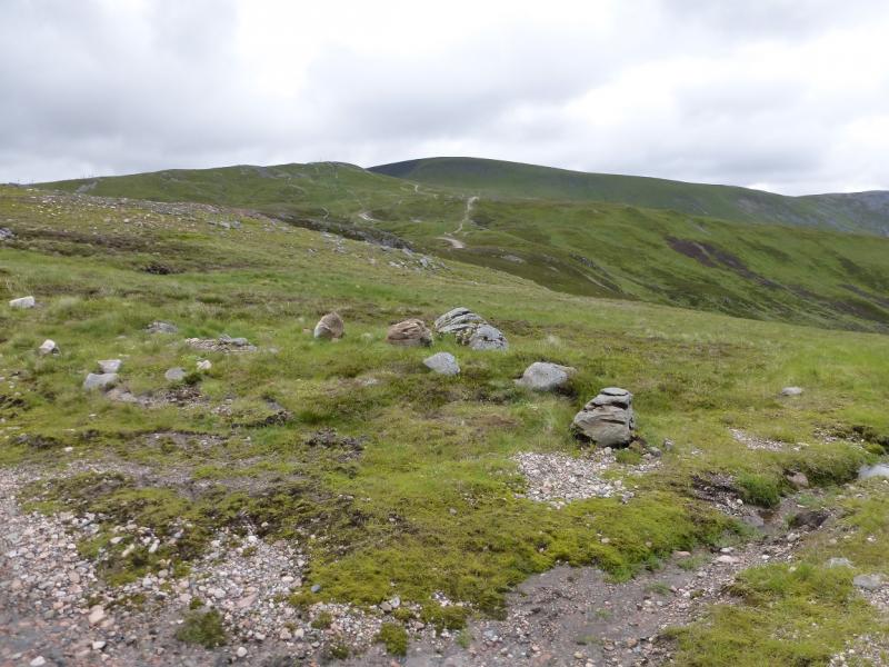
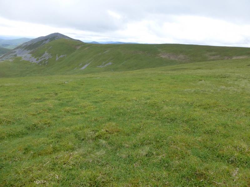
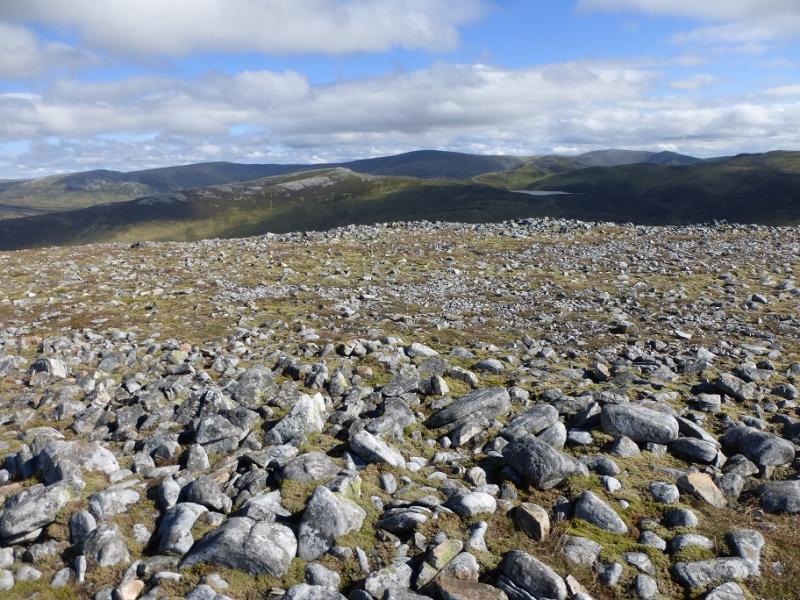
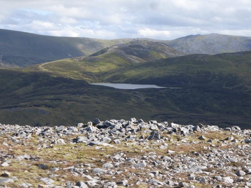
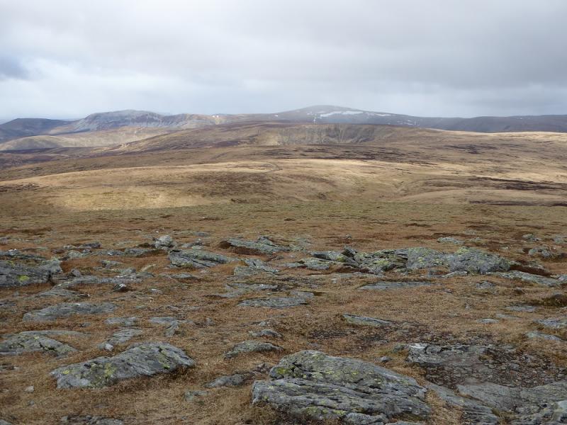
This is a straightforward walk with good views despite the ugly scars from the skiing developments around the top of the pass. On a clear day, one can see as far as Beinn a' Bhuird and Ben Avon. Lochnagar will also be seen. All the hills (and scars) around the Glen Shee road (A93) are well seen. In summer conditions, navigation is not too difficult in mist although the large grassy plateau of Glas Maol may be difficult for some to navigate. At the end of the walk, some of the streams will be difficult to cross in spate.
Route
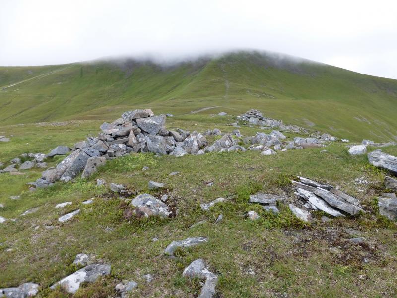
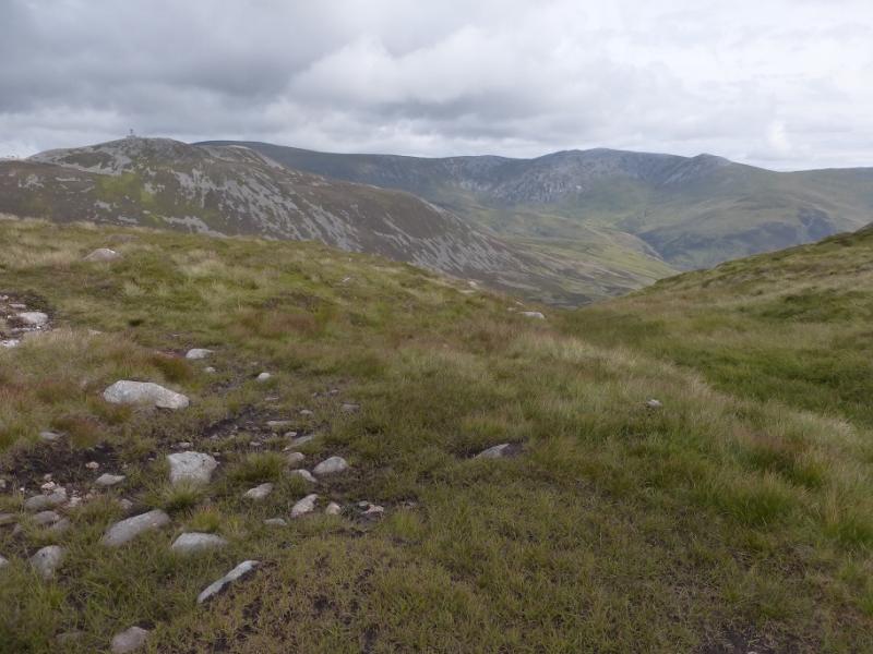
(1) From the cafe, walk S towards the top of the pass from where an obvious good path/track goes E up the hill. Follow this over a minor cairned top before reaching the cairn (with other cairns beyond) which marks the summit of Meall Odhar, 922 m.
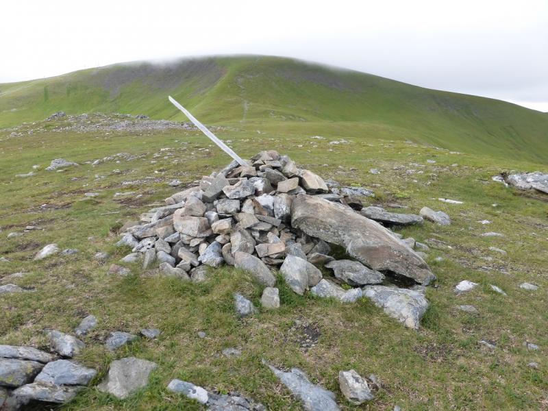
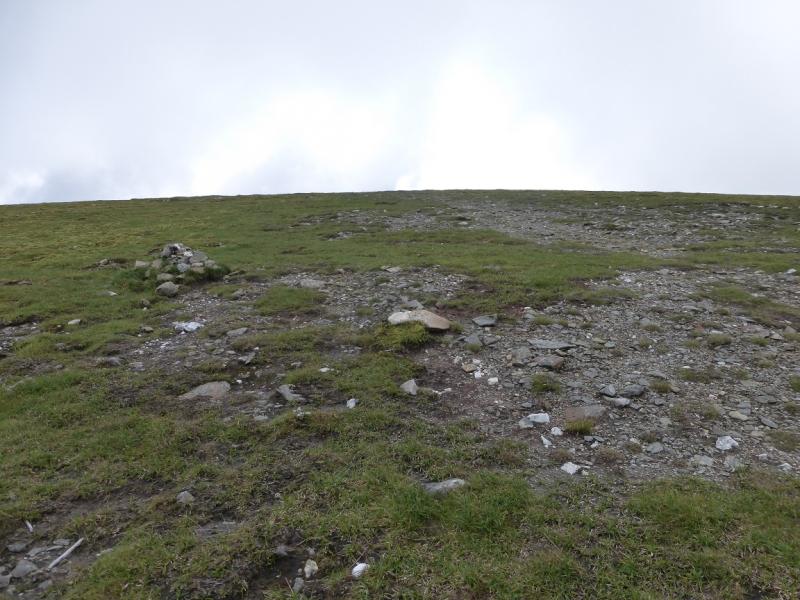
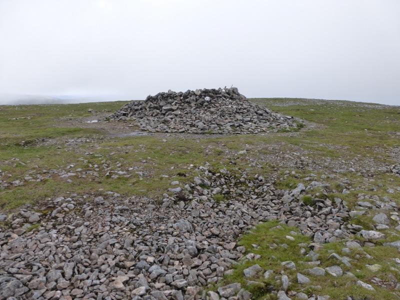
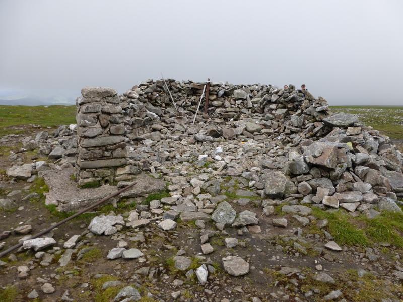
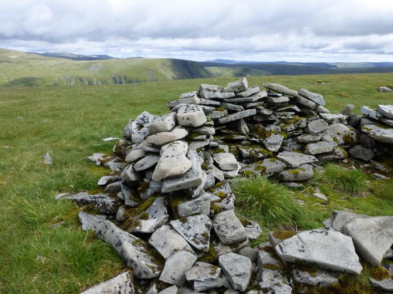
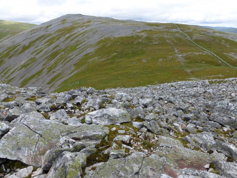
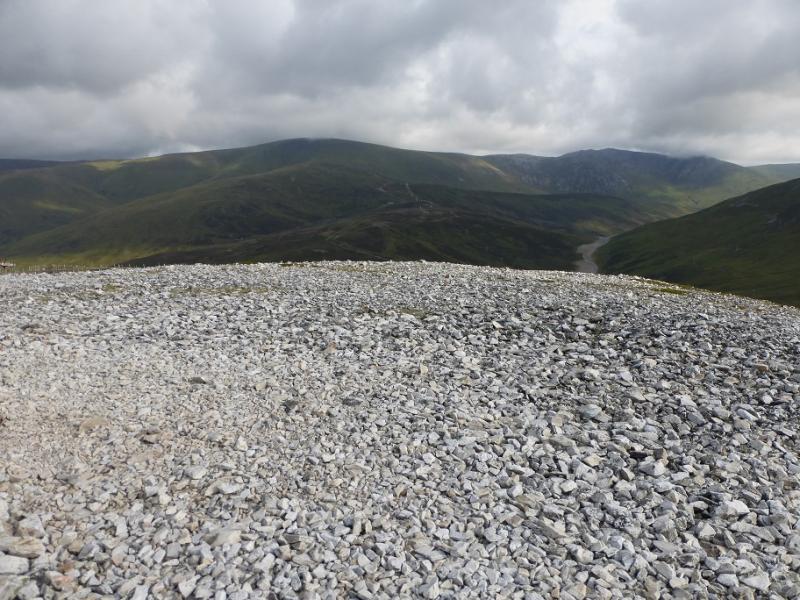
(2) Descend slightly then continue ahead on a path which zig-zags up the steep NW flank of Glas Maol. When the angle eases, a small cairn is soon reached. Continue ahead, on the featureless gentle grassy slopes, to reach a stone trig point by a large shelter cairn which is the summit of Glas Maol, 1068 m.
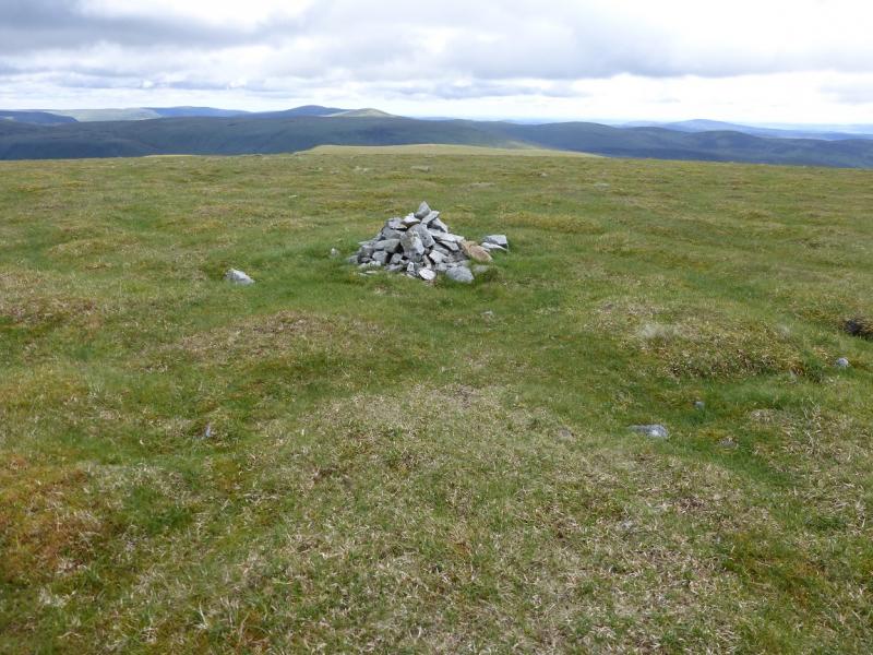
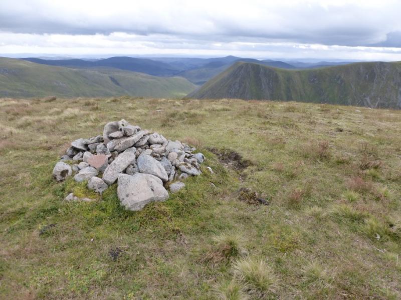
(3) Descend SE down gentle grassy slopes to reach a grassy col. Continue up, passing a small shelter cairn, before reaching a small cairn which is the summit of Little Glas Maol, 973 m.
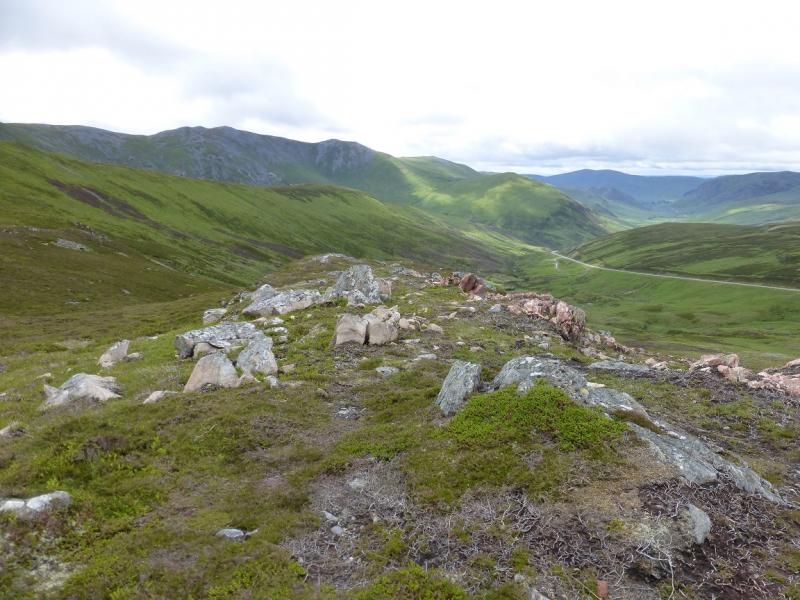
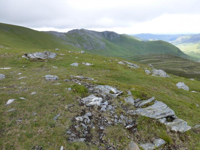
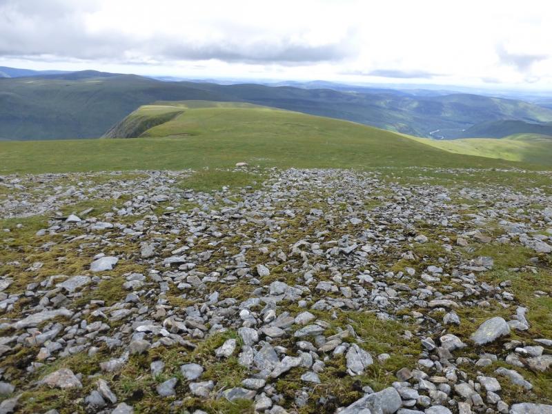
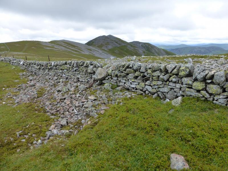
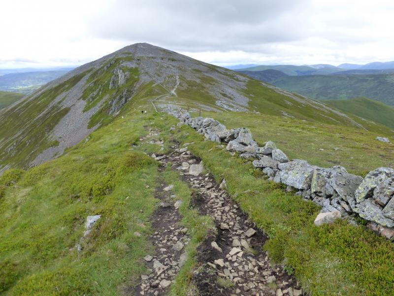
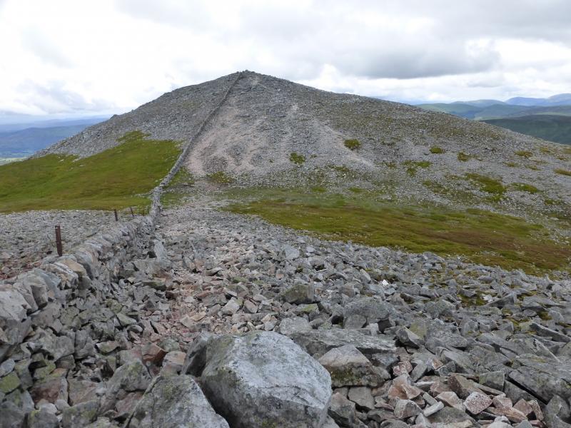
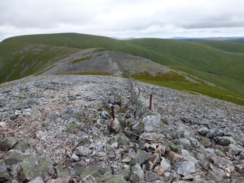
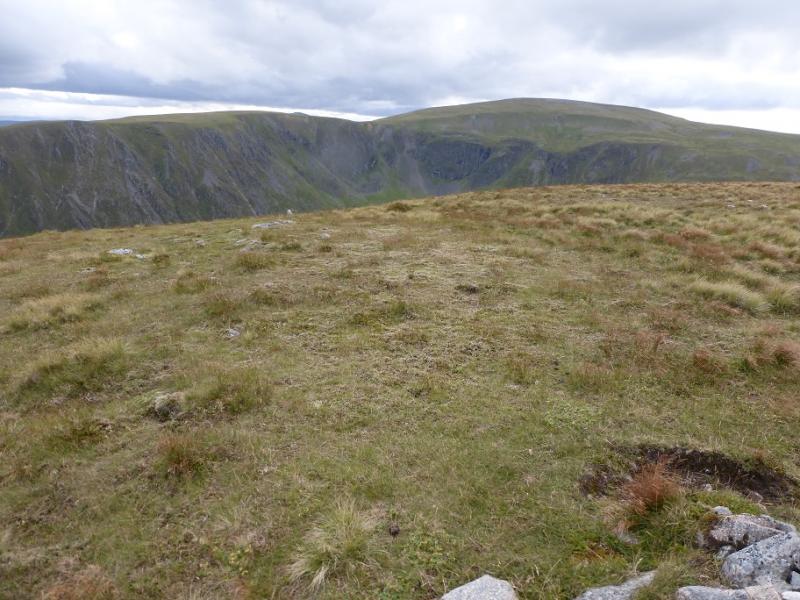
(4) Retrace to the col then contour around the SE flank of Glas Maol to reach the ridge between Glas Maol and Creag Leacach. The traverse is on easy grass but there are a few wet areas which are easily avoided. Try not to lose any height as it will have to be regained. Once on the ridge, soon reach a wall which can be followed all the way along the crest although the path wanders around a little to avoid some of the boulder fields. Reach a medium cairn which is the summit of Creag Leacach, 987 m.
(5) Continue along the crest, still following the wall which soon swings W, descending to a dip then rising to the medium cairn, on an outcrop, which is the summit of Creag Leach SW Top, 943 m.
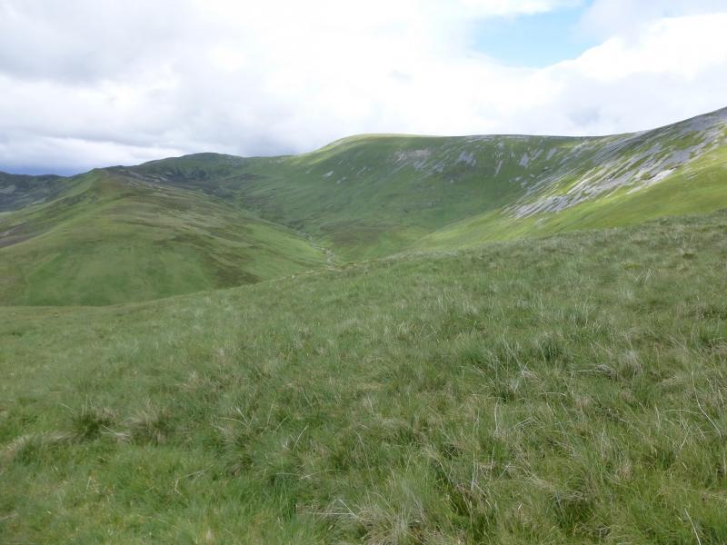
(6) The direct descent goes down to the col before Meall Gorm but this would mean going through some boulder fields. A path goes around the left, S, of these before coming back on to the crest and descending to the col. A faint path then descends roughly NNE to the bottom where two streams join. These can be crossed separately a few metres upstream of their confluence. The second stream may be awkward in spate conditions. Once across, ascend up the bank and follow a path WNW. This reaches the stream below the car park which can also be awkward in spate conditions. This stream is close enough to the car park to check its condition before setting off. Once across, ascend back to the car park.
Notes
(a) This walk took place on 12th July, 2015, and about 10 and 20 years earlier.
(b) Omitting Little Glas Maol would save about 40 minutes.
(c) With only one car, this route would be best done in reverse from the bottom of the pass then returning from Meall Odhar by descending W, towards the top of the pass, for about 500 m then descending the ridge running S. Another possibility is to see if there is a service bus which would take you up the pass. The worst alternative is having to walk up the road at the end of the day.
Photos - Hover over photo for caption. Click on to enlarge. Click on again to reduce.