Get Lost Mountaineering
You are here: Scotland » 06 Drumochter to Glen Shee » Tarf & Tilt Hills to Glen Tromie
Carn an Fhidhleir & An Sgarsoch from Linn of Dee
Carn an Fhidhleir & An Sgarsoch from Linn of Dee
Start/Finish
National Trust Scotland car park over the bridge at Linn of Dee which is 6 miles west of Braemar village. Parking is free to NT and NTS members who display a parking sticker.
Distance/Time
24 km bike + 16 km walk. About 9 – 10 hours.
Peaks
Carn an Fhidhleir, 994 m, NN 905 842.
An Sgarsoch, 1006 m, NN 933 837. OS sheet 43.
Introduction
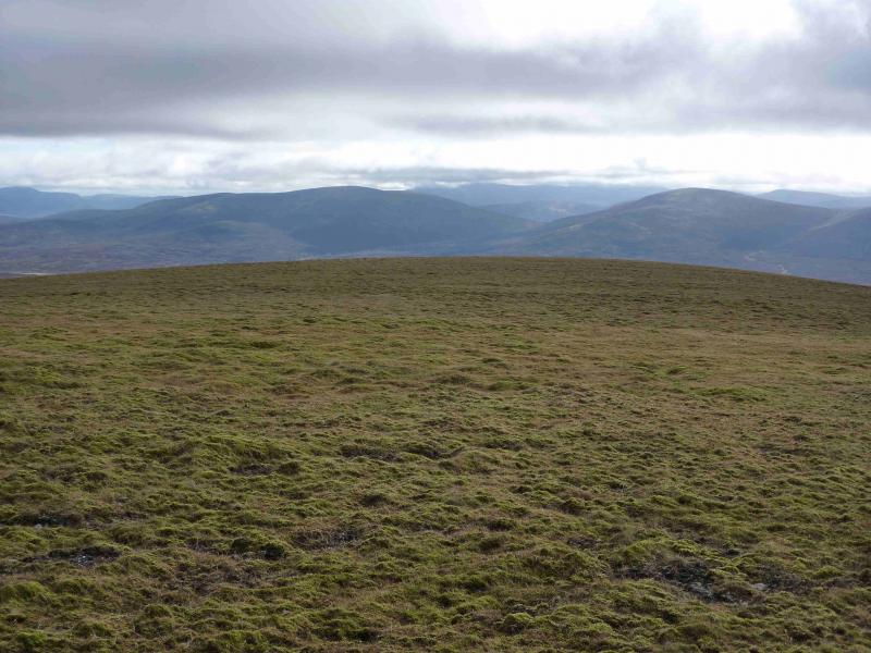
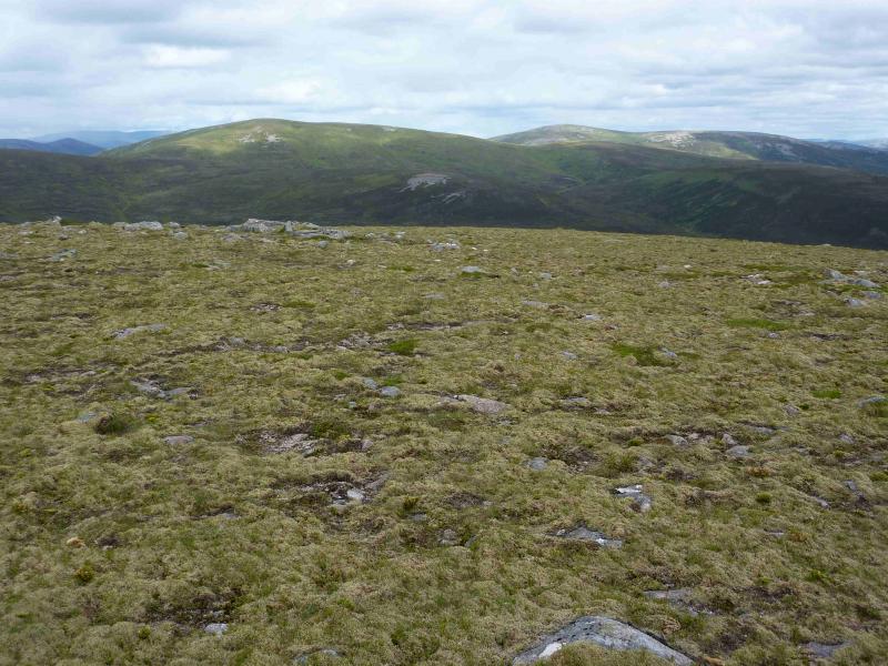
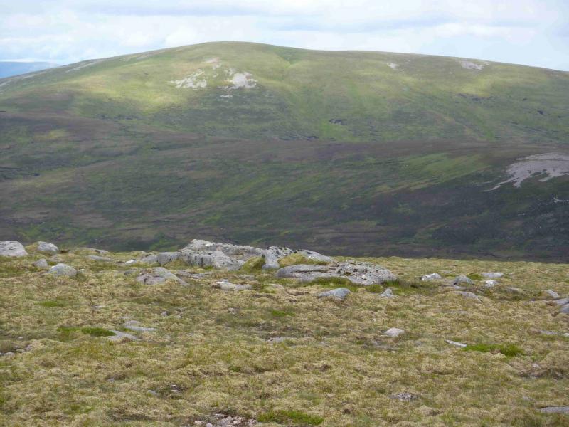
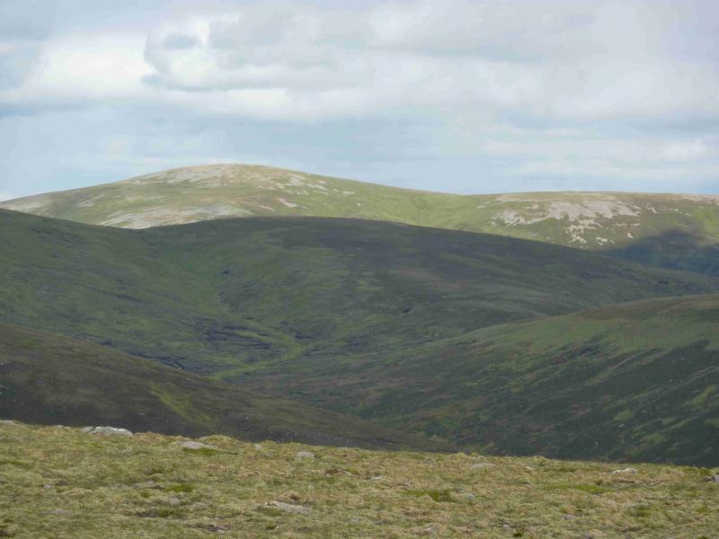
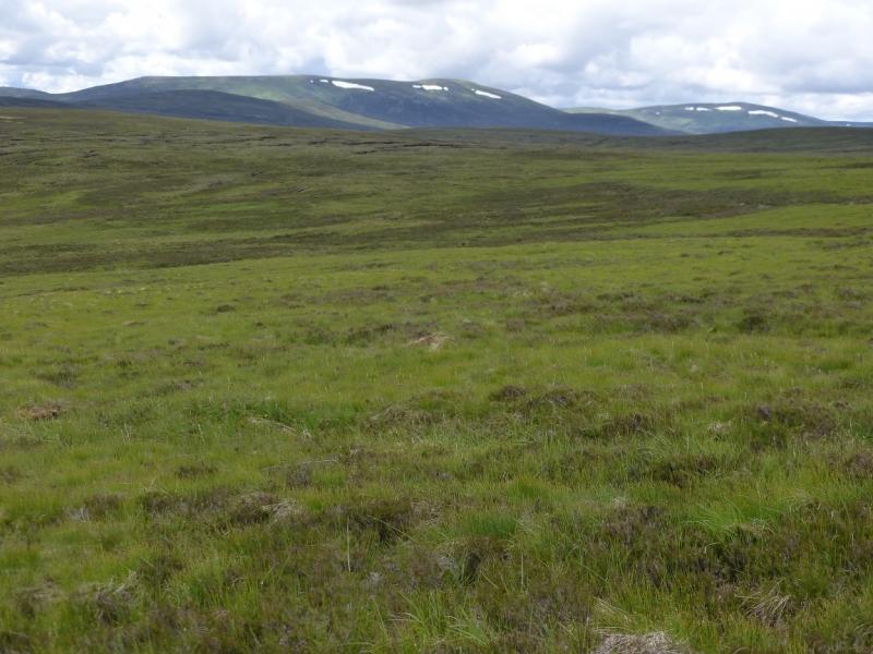
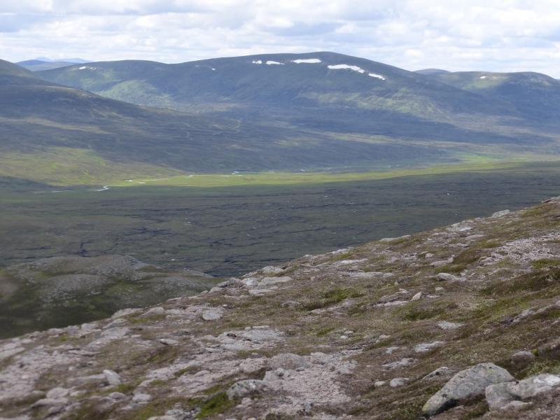
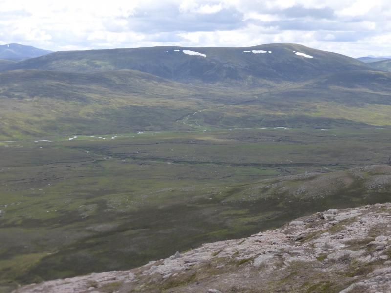
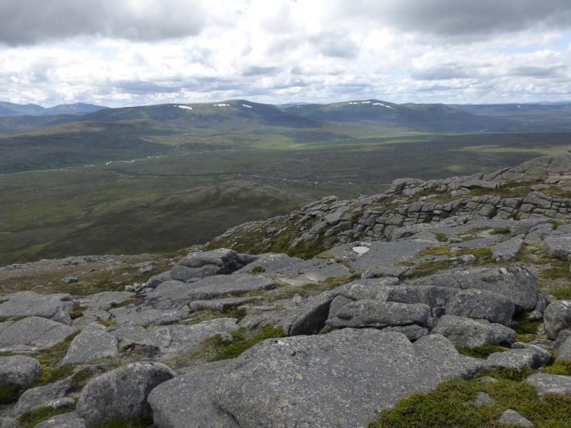
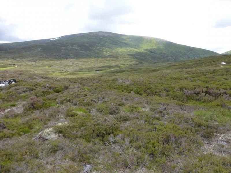
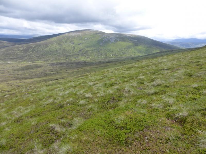
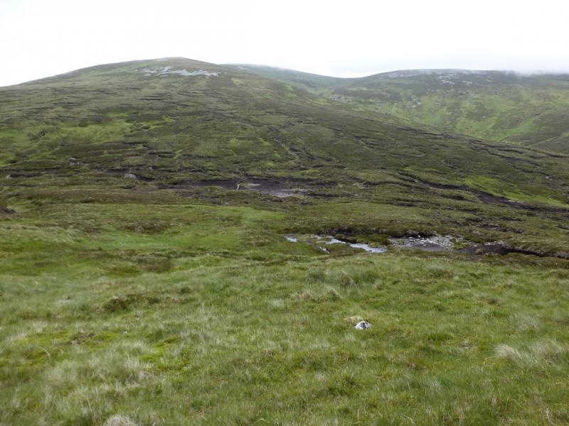
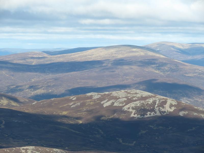
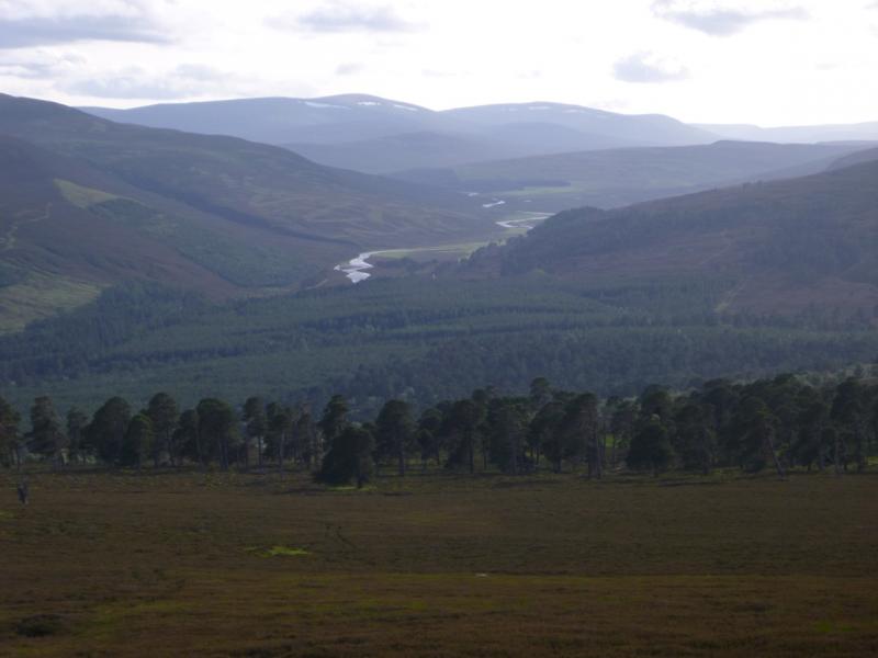
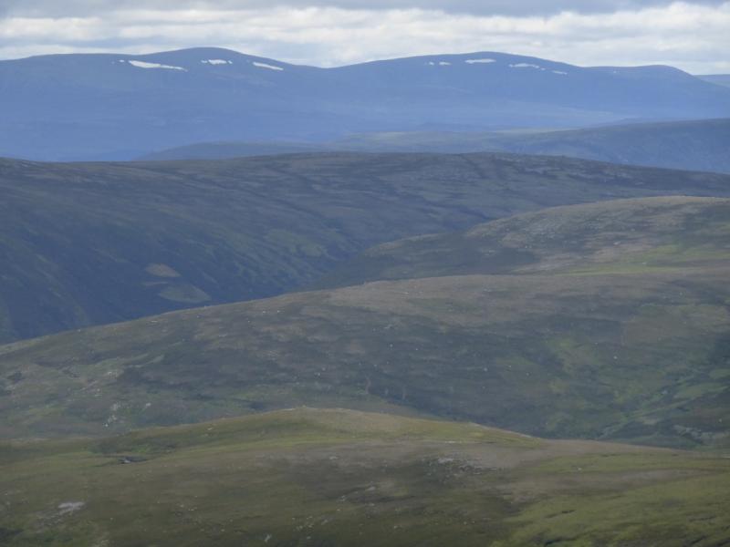
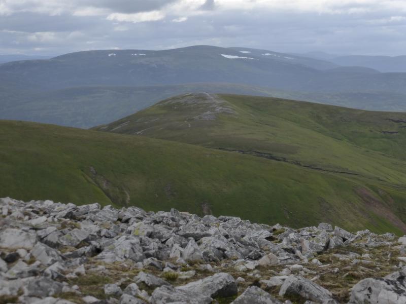
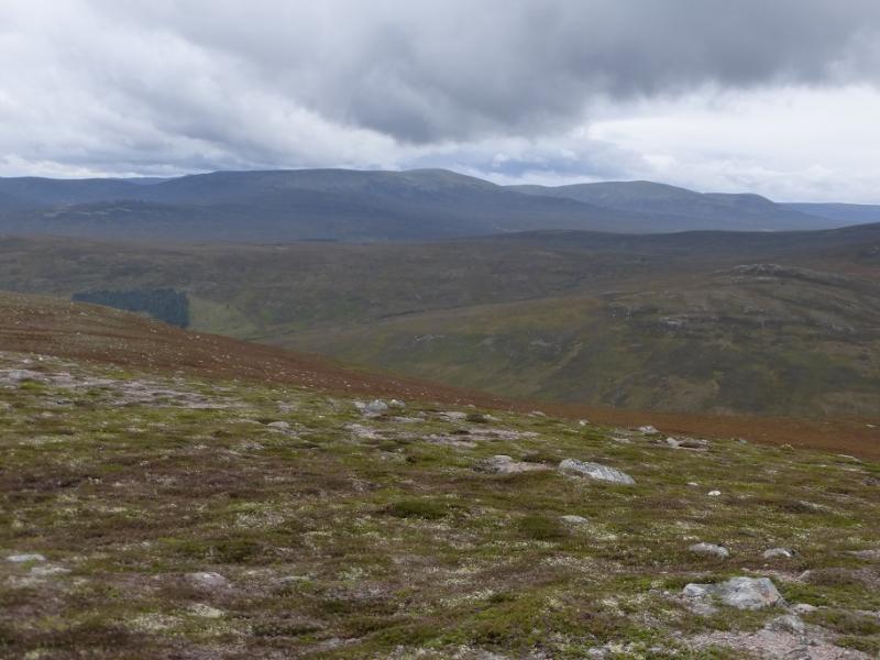
This is a long tough walk to two very remote hills. The cycling is straight forward as far as White Bridge and then to the disused cottage at the start of the Geldie Burn. After this, the track becomes rougher but can still be cycled and there are no steep sections. The track crosses the Geldie Burn and continues to the ruin of Geldie Lodge where a very good path (essentially a narrow track) takes over for about 4 km. All this could be cycled but for the Geldie Burn which can be very difficult to cross even without a bike so most people leave their bikes at the burn which is what this route assumes. In a wet spell, this route may not be possible because of the Geldie Burn crossing. Some hints on crossing streams are given in the notes. From the end of the Geldie Lodge path, much of the route is rough, heathery and pathless. Where paths exist, they can be impossible to spot from a distance because of the heather. The hills themselves are fairly featureless and would be very rarely visited if they were not Munros. There are views to other similar “moorland” hills such as Beinn Dearg and Beinn Bhreac. The best view is to Monadh Mor, Beinn Bhrotain and Carn Cloich-mhuilinn which lie to the NNE across Glen Geldie.
Route
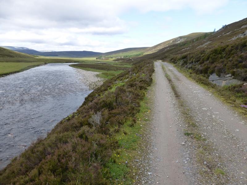
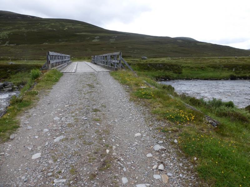
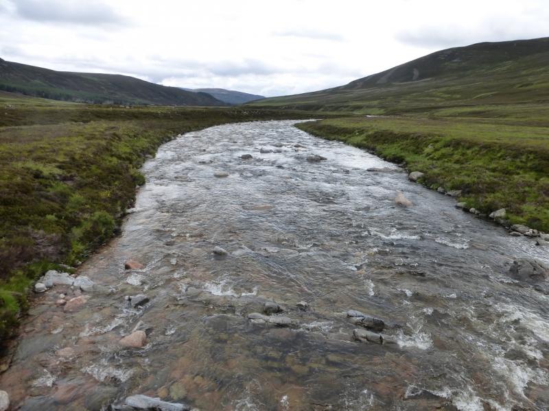
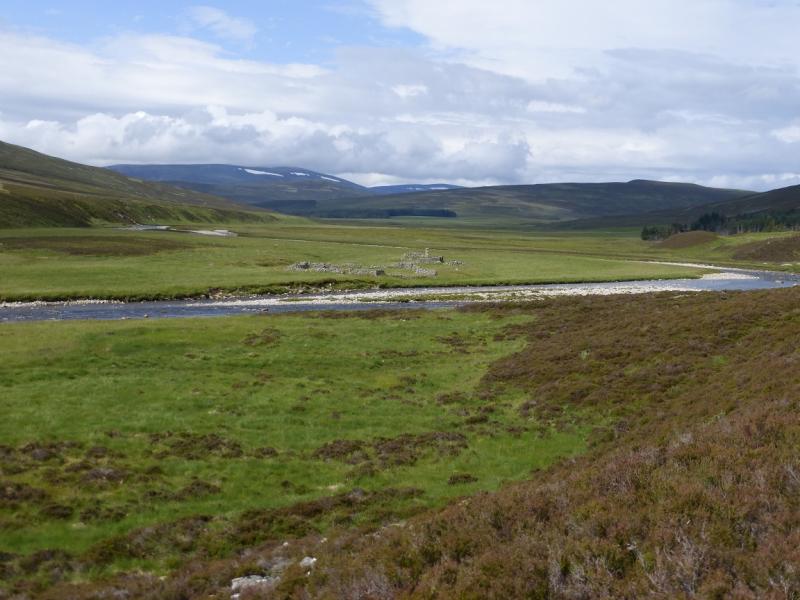
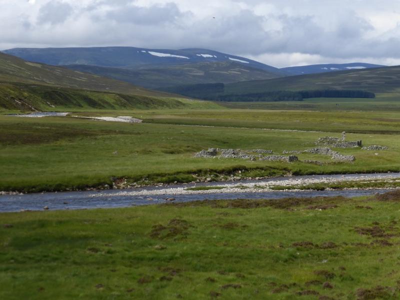
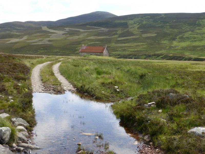
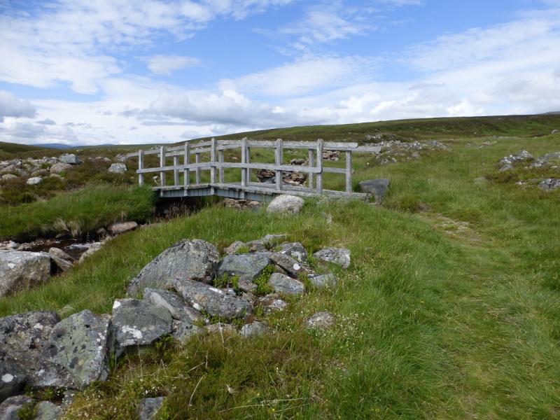
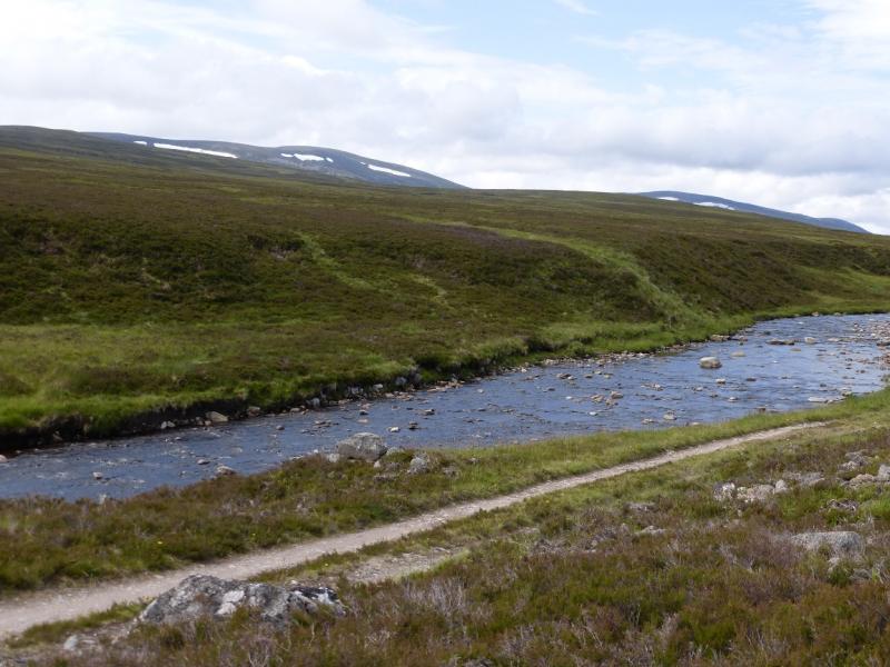
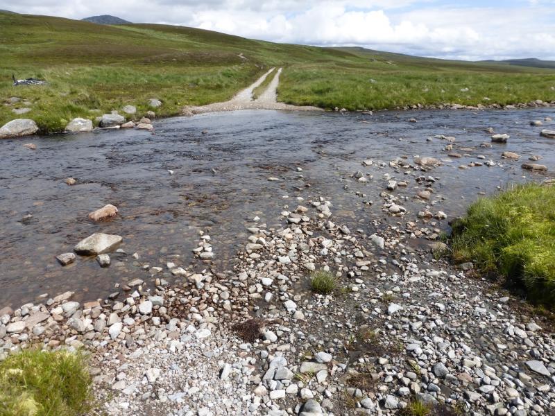
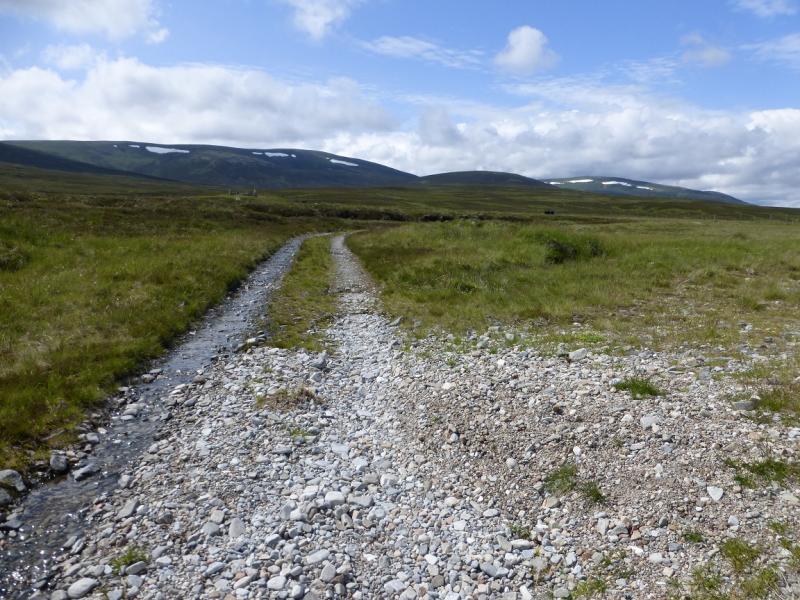
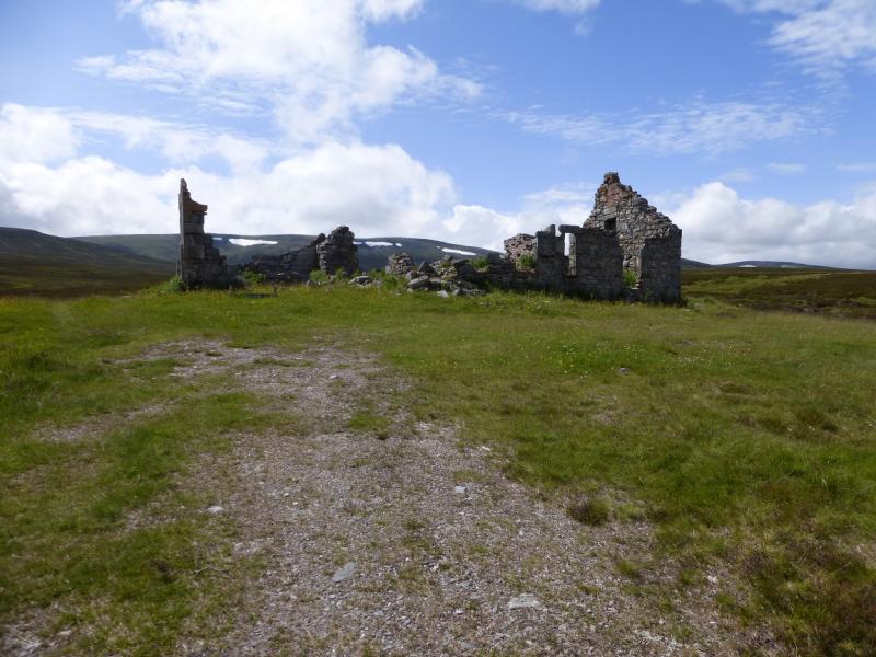
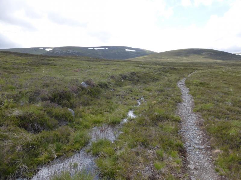
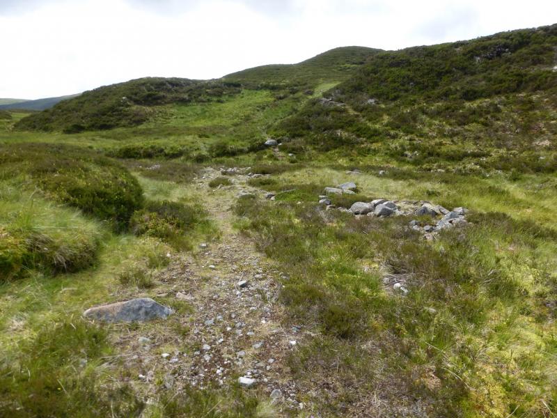
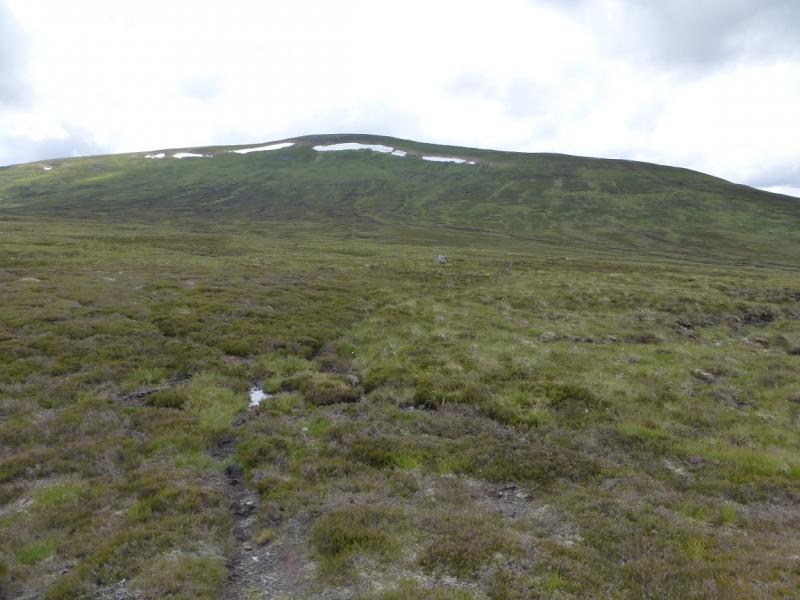
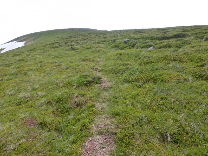
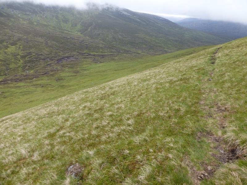
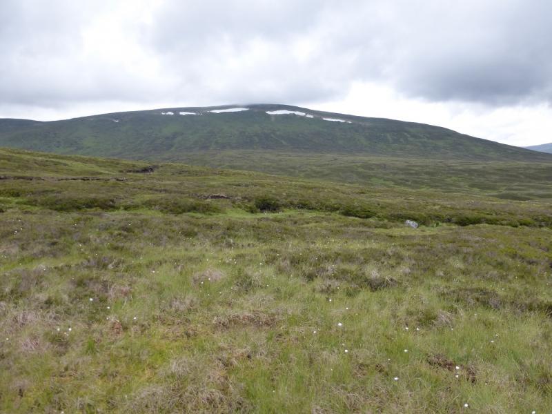
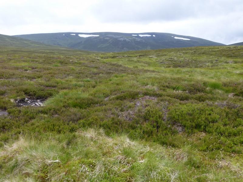
(1) From the car park, go out on to the public road. Turn right, back towards the Linn of Dee but take the track straight ahead where the road goes left to cross the river. Follow the track, on the N side of the River Dee, for about 4 km to White Bridge. Cross over then go ahead, leaving the River Dee (goes W) and head SW towards a plantation. After about another 2 km, the track swings right, W, to a disused cottage by the Geldie Burn. Continue on this track/path for about 4 km. Two significant tributaries are crossed. The first has a footbridge, the second doesn't and is larger. If you cannot cross the second tributary then you won't be able to cross the Geldie Burn later. Continue to where the track crosses the Geldie Burn where bikes are usually left unless the burn is very low. Crossing on the line of the track is not recommended as the water is deep. Instead, walk upstream for about 100 m until just past a significant tributary on the opposite bank. It is usually possible to cross just upstream of this tributary. Once across, walk to Geldie Lodge then follow the very good path which initially heads W. This path meanders for about 4 km. When it turns N, follow it to where it soon peters out just above the Allt a' Chaorainn. Cross over – not usually a problem. If it is you won't have got across the Geldie Burn so won't be here anyway! There is a hint of a path which can be used to get clear of the stream. After that it is best to pick a way as directly as possible to the N ridge of Carn an Fhidhleir, trying to avoid as much of the heathery ground as possible. There are hints of paths taking you below the ridge but little is gained by following them. Once on the N ridge, follow it up. If you are not on a path, one will soon appear but it could still be 2 km to the top. Eventually reach a level crest where a medium cairn marks the summit of Carn an Fhidhleir, 994 m. The summit is very exposed to the weather with nowhere close by to shelter.
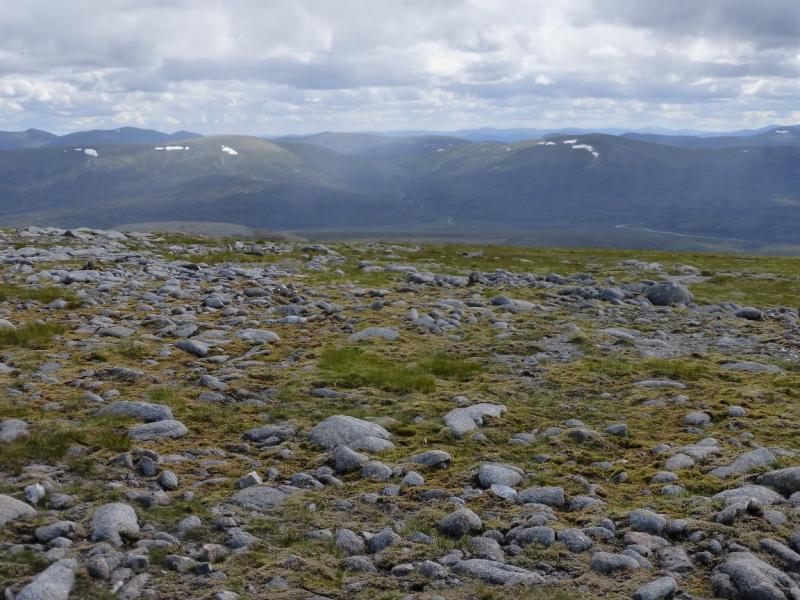
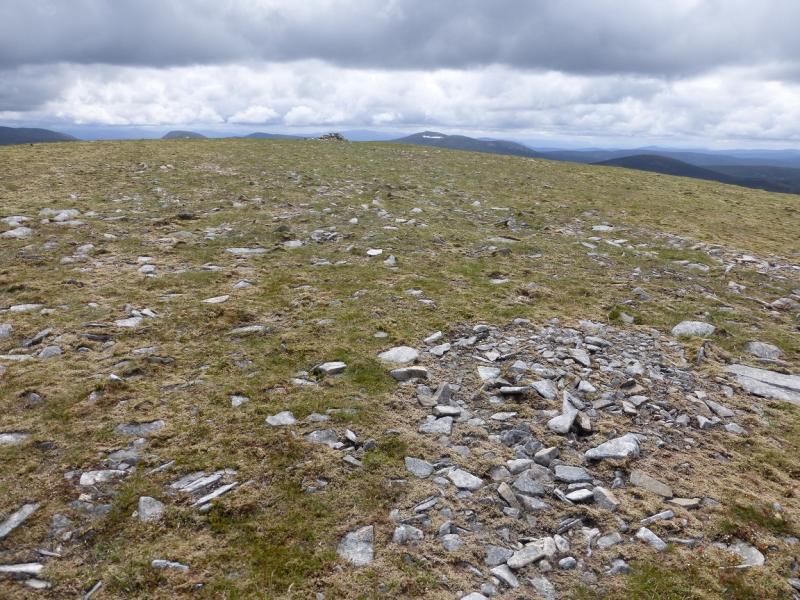
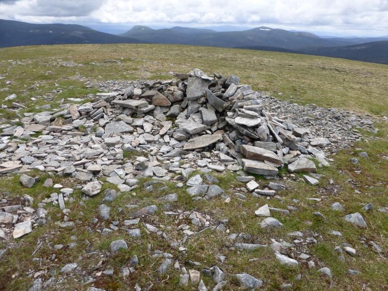
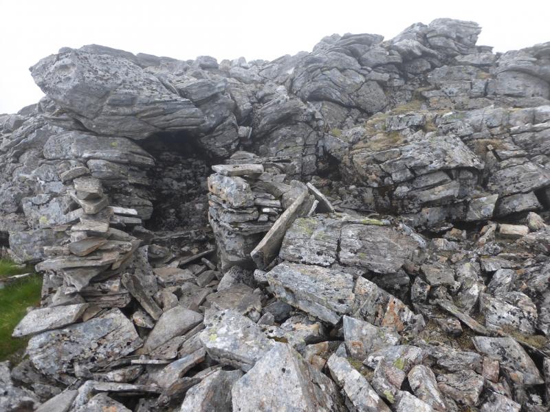
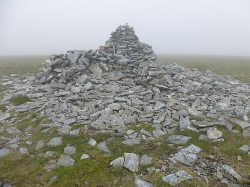
(2) Continue along the crest, descending gently SSE. There is a path which drifts off left and keeps below the crest but it take one further than one needs to go so be careful not to go past where you need to drop down SE, ESE then ENE to the boggy bealach. There are some peaty mounds downstream to the N of the bealach. Pick a way up ENE soon clearing the heather. If it is clear, aim for the right hand side of some distinctive scree patches and you should find a good path before reaching them. About 400 m before the summit is a rough shelter seemingly made on the side of a small outcrop. Continue and soon reach a very large cairn which can offer shelter on three sides. This is the summit of An Sgarsoch, 1006 m.
(3) Descend NNW, on easy ground soon becoming a ridge to the left, W, of Scarsoch Bheag. There are hints of a path here and there. Lower down, the going becomes rough, wet and heathery but slog through it to regain the Geldie Lodge path then retrace the outward route which is mainly downhill and a much more pleasant cycle than the outwrad route.
Notes
(a) This walk took place on 16th July, 2015, and about 10 and 20 years earlier.
(b) One way of crossing a deep stream and staying dry is to carry a very light pair of beach sandals, or similar, and a very small towel. Put these on to cross so that the soles of the feet are protected then dry your feet before putting back on your socks and boots. Another way is to carry sturdy bin liners and put these over your legs and boots but they will need to be tied on. Another possibility is to put on waterproof leggings which can be tightened around the ankle and allow one to quickly pass through water deeper than your boots before any water gets in. Poles obviously help with balance if “rock hopping”.
Photos - Hover over photo for caption. Click on to enlarge. Click on again to reduce.