Get Lost Mountaineering
You are here: Scotland » 08 Cairngorms and Buchan » West of Lairig Ghru
Beinn Bhrotain & Monadh Mor from Linn of Dee
Beinn Bhrotain & Monadh Mor from Linn of Dee
Start/Finish
National Trust Scotland car park over the bridge at Linn of Dee which is 6 miles west of Braemar village. Parking is free to NT and NTS members who display a parking sticker.
Distance/Time
14 km bike + 16 km walk. About 9 – 10 hours.
Peaks
Carn Cloich–mhuilinn, 942 m, NN 968 907.
Beinn Bhrotain, 1157 m, NN 954 927.
Monadh Mor, 1113 m, NN 938 942. OS sheet 43.
Introduction
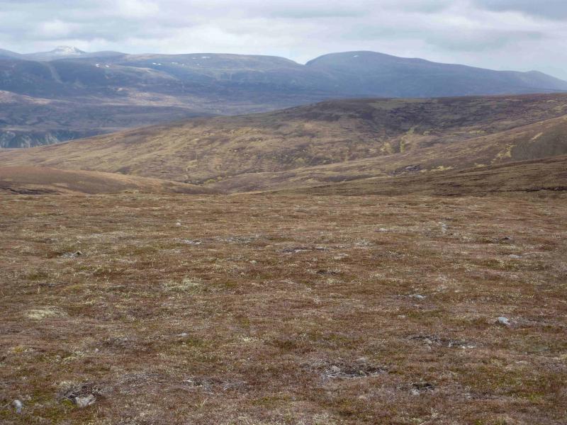
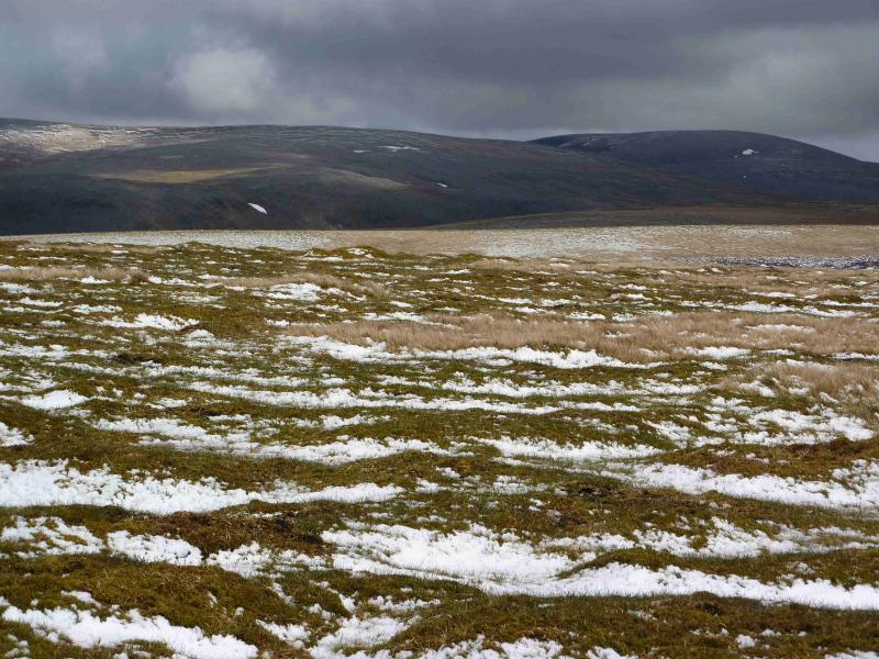
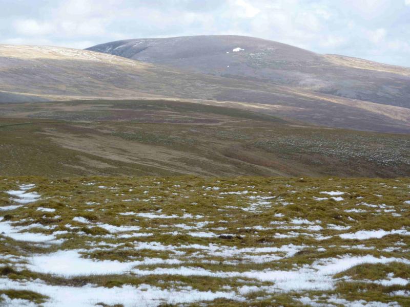
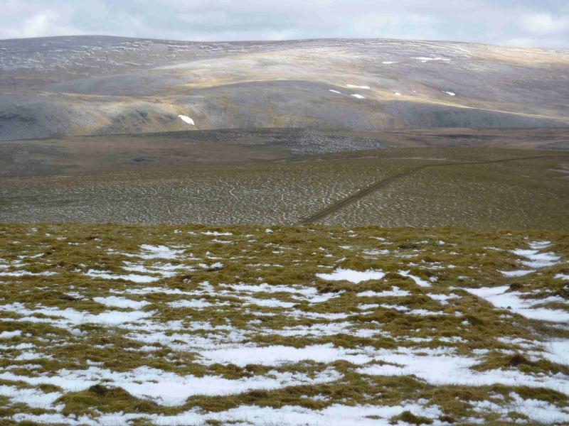
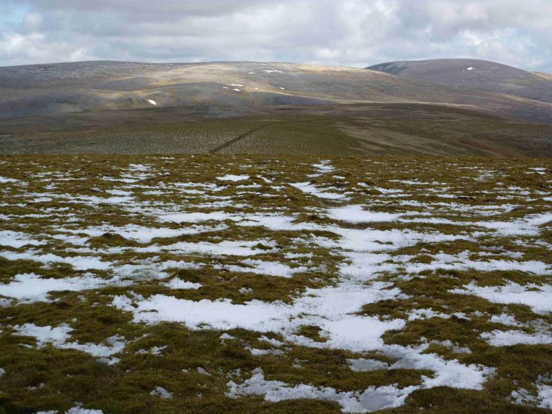
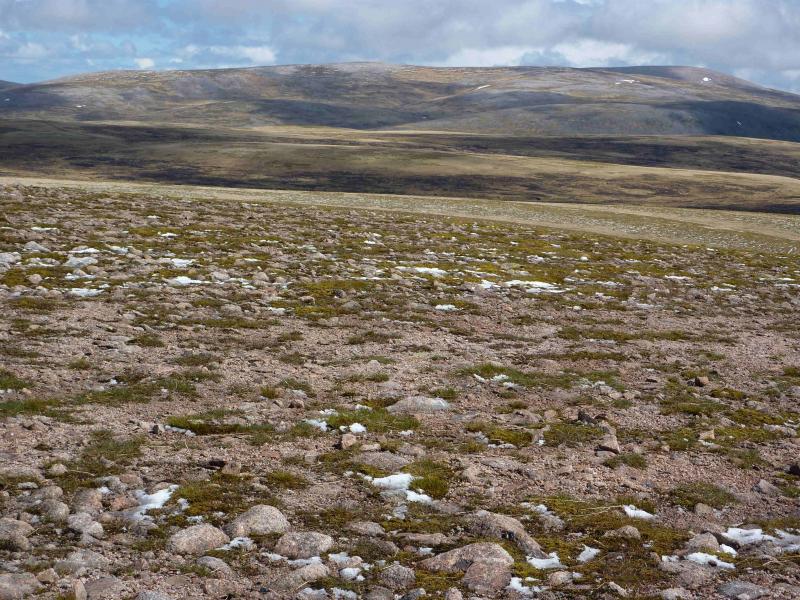
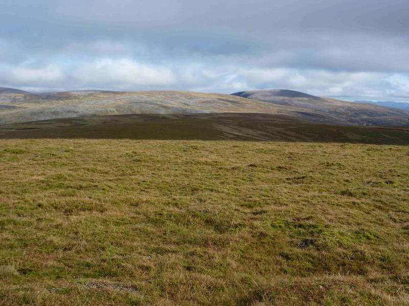
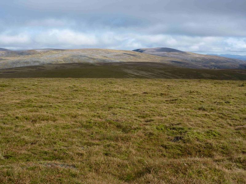
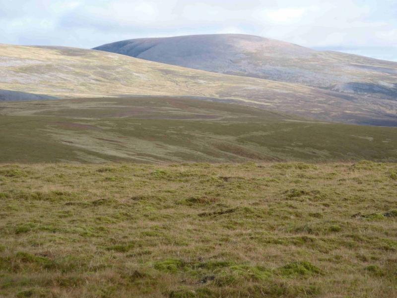
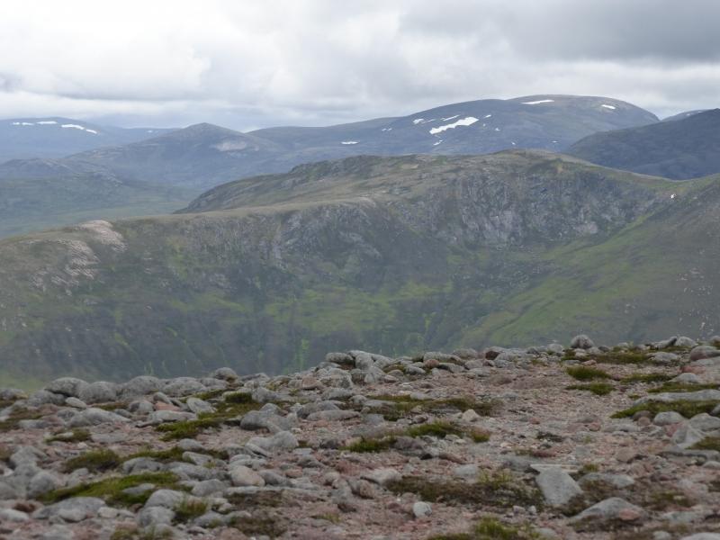
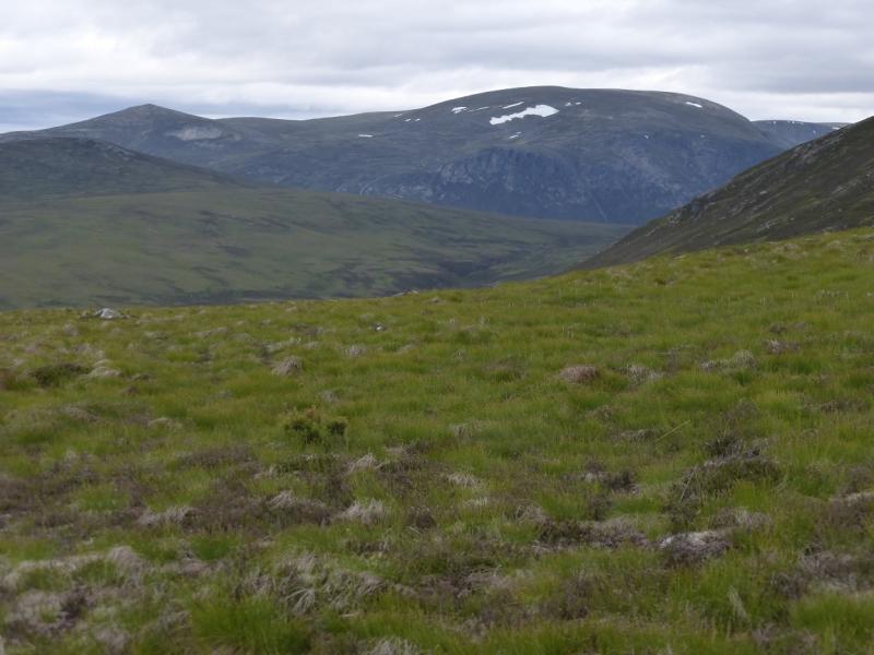
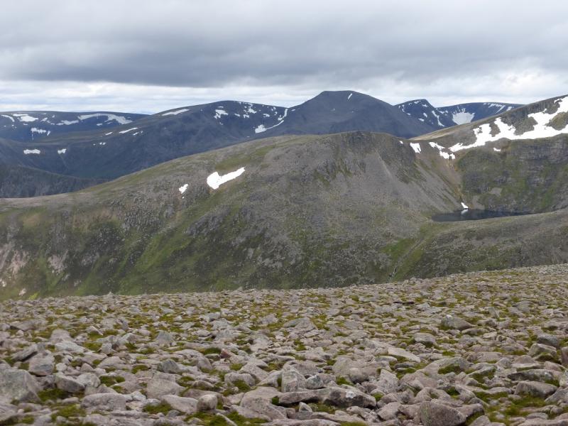
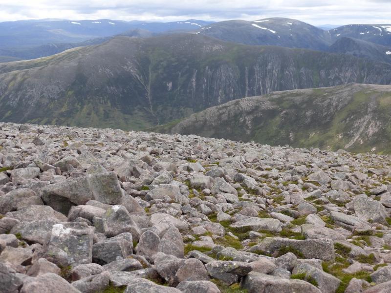
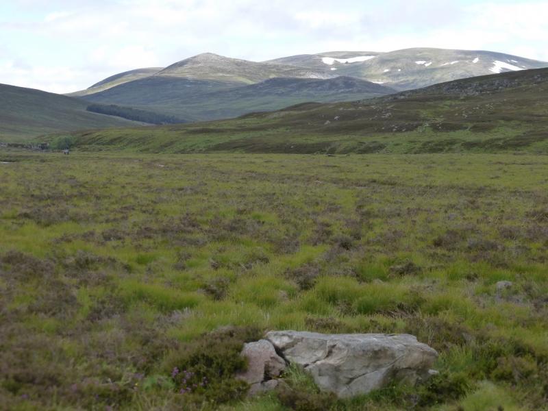
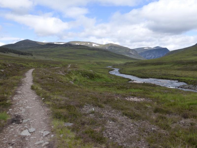
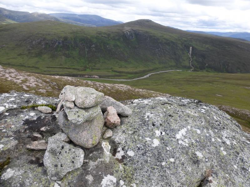
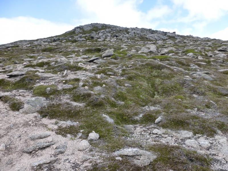
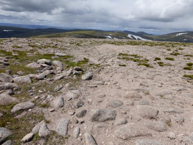
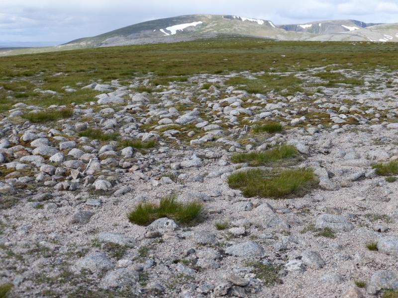
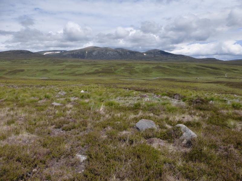
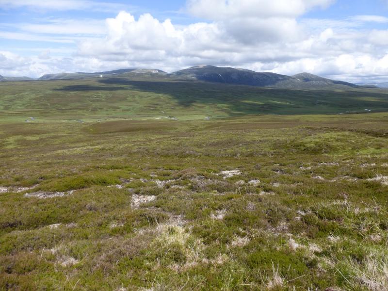
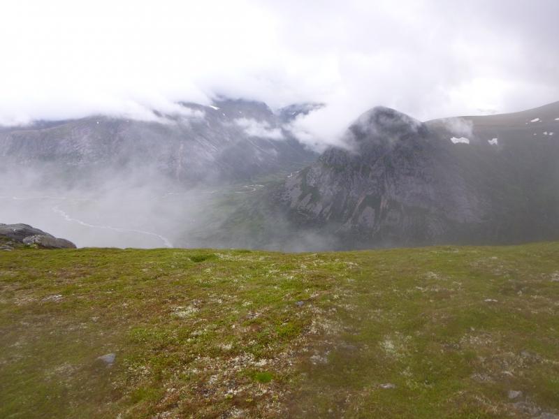
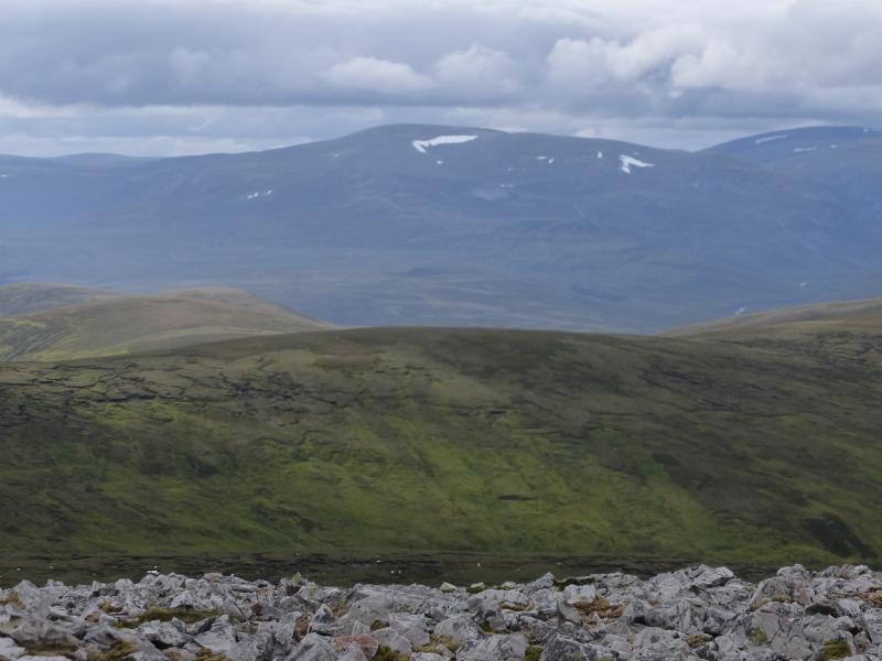
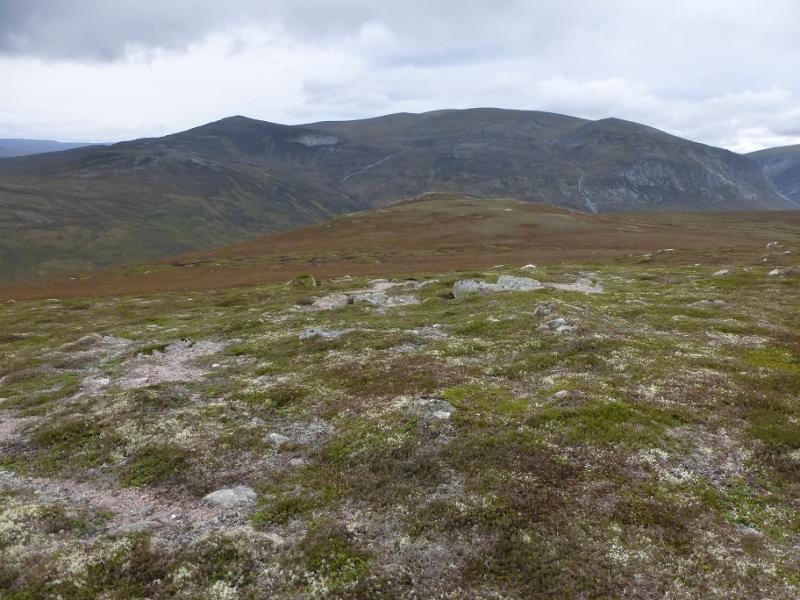
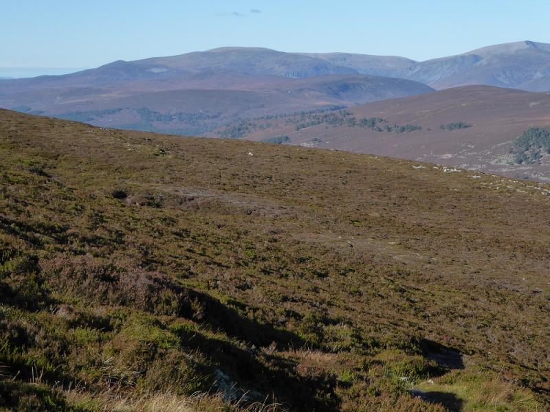
This is one of the most enjoyable walks in the Cairngorms and offers some of the finest views including Ben Macdui, Carn a' Mhaim, An Sgarsoch, Carn an Fhidhleir but especially Braeriach, The Angel's Peak, Cairn Toul and the Devil's Point which are so close by. The cycling is straight forward as far as White Bridge after which the path/track is fine but there are lots and lots of drainage “dips” which slow progress. The initial ground up Carn Cloich-mhuilinn can be wet and boggy in places but once high up, the ground is as good as it gets. Even the large boulder field on the WNW flank of Beinn Bhrotain is very gently angled with many flat stones. The walk is so pleasant that the return has to be made by the same route. Save this walk for a clear day and you will not be disappointed. Carn Cloich-mhuilinn is one of the most friendly tops for those wishing to sit down – there are scores of suitable rocks.
Route
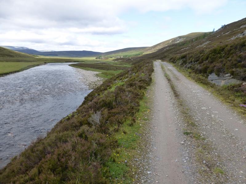
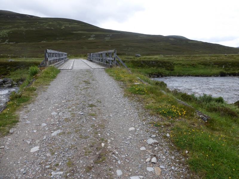
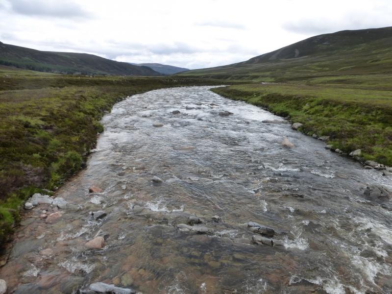
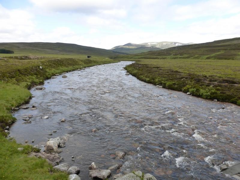
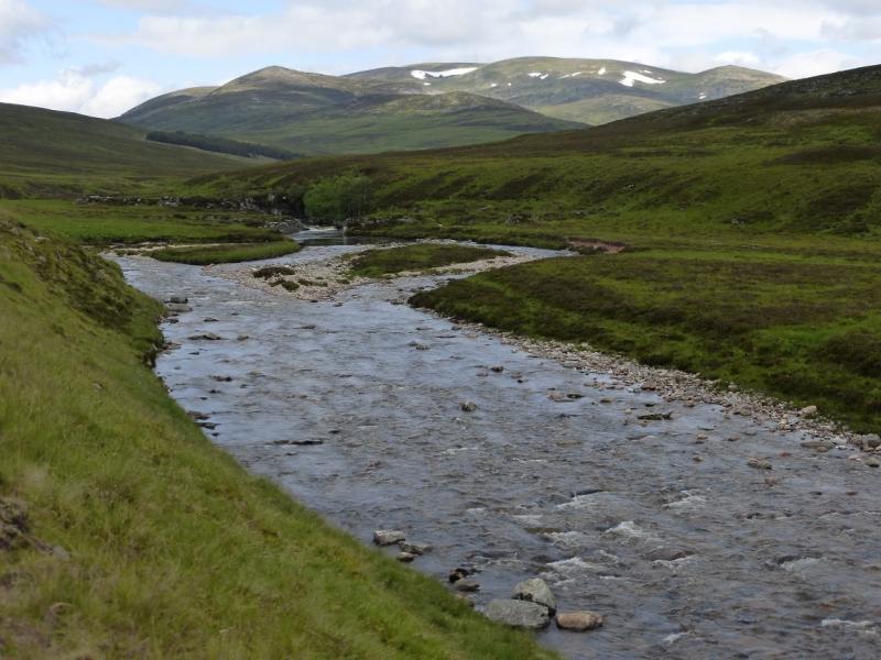
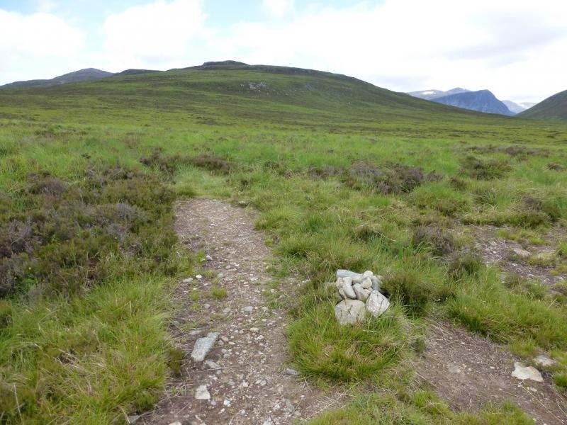
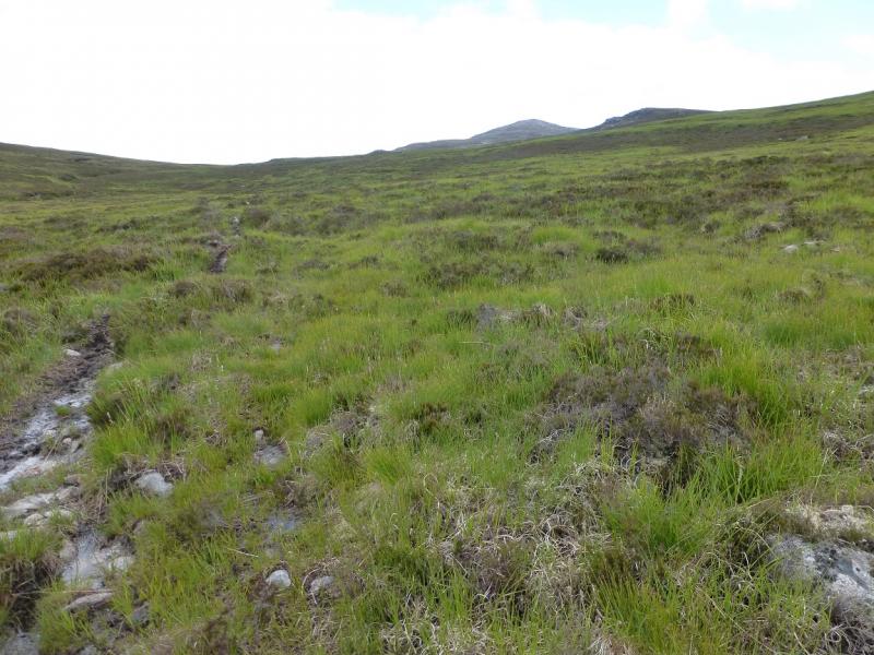
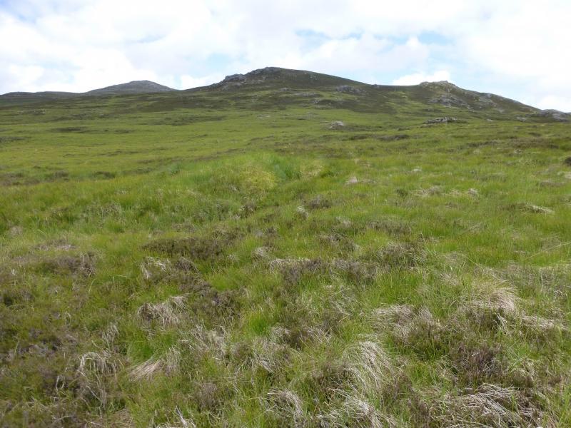
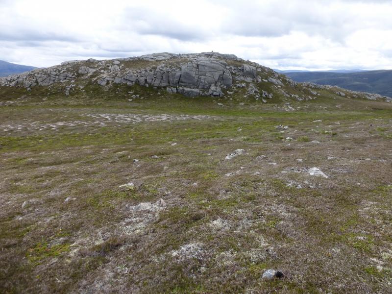
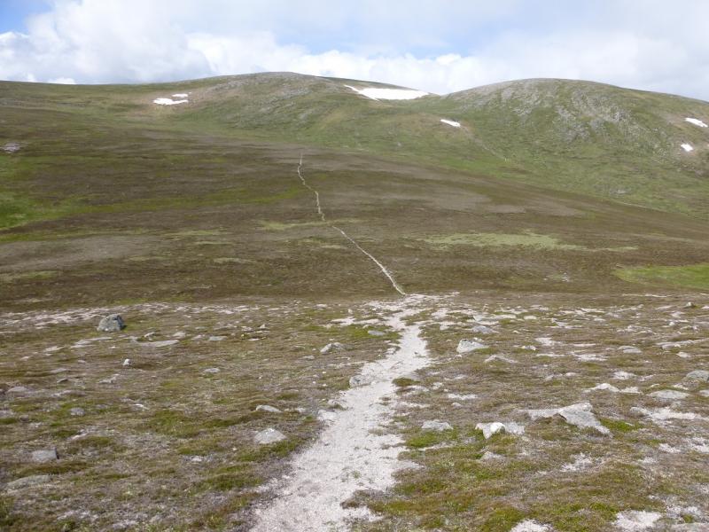
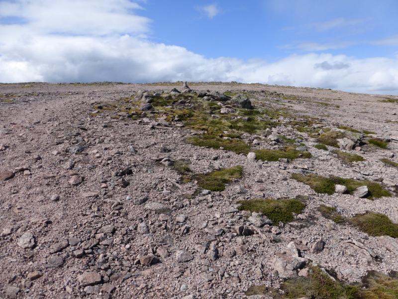
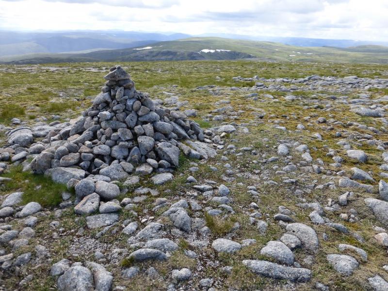
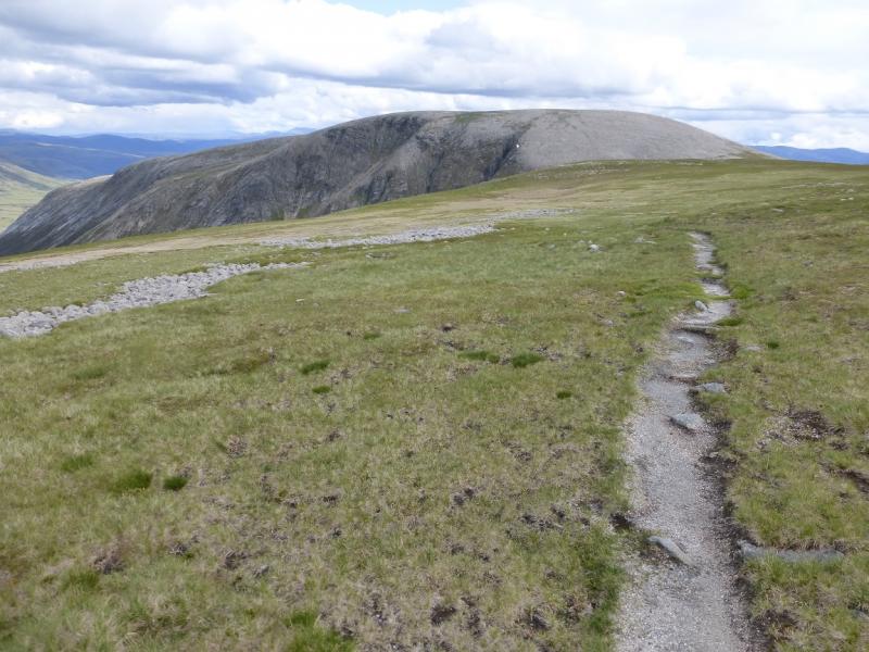
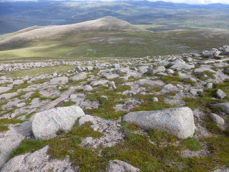
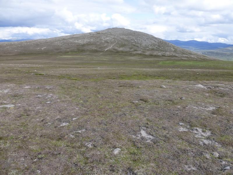
(1) From the car park, go out on to the public road. Turn right, back towards the Linn of Dee but take the track straight ahead where the road goes left to cross the river. Follow the track, on the N side of the River Dee, for about 4 km to White Bridge. Cross over then go immediately right and follow the path/track on the S side of the river. After nearly 3 km, and passing a plantation (currently looks as if it is being felled) on the left, cross a stream and, very soon after, reach a small cairn which is where the walking starts so leave bicycles here. A path starts at the cairn. Follow it but it can be wet and boggy so try to pick a drier route up on to the ridge above to the N. The top/shoulder at about NN 981 903 is well worth a visit; it has a small cairn. From here, go W. Once on the SE ridge of Carn Cloich-mhuilin, a path will be found which leads up the rocky but pleasant slopes to the medium cairn which marks the summit of Carn Cloich–mhuilinn, 942 m.
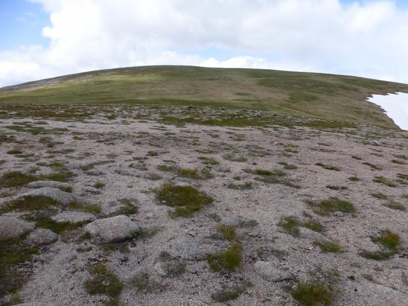
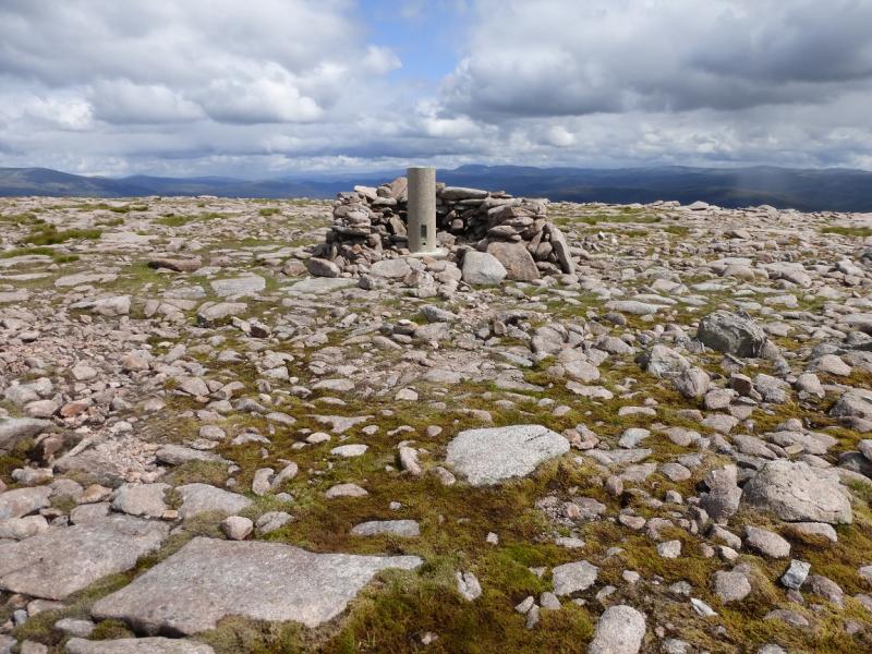
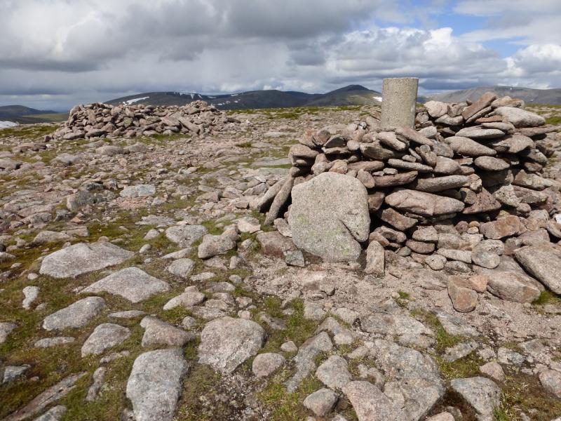
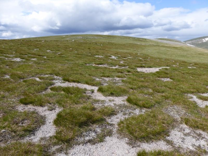
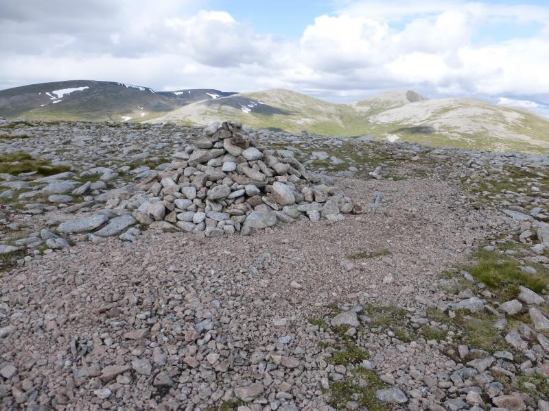
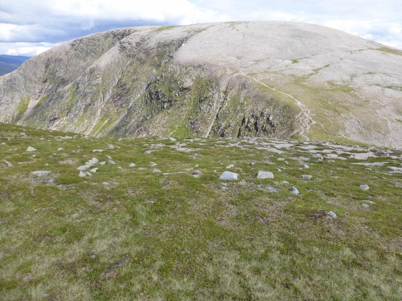
(2) In clear weather, an obvious path will be seen crossing the grassy ground on the way to Beinn Bhrotain. Descend NW, over some small easy boulder fields, to reach largely level ground. The path peters out when it reaches softer grassy, often wet, ground but continue in the same direction and you are likely to find it again before too long. Ascend the moderately steep slopes ahead. These are grassy with scattered boulder fields which can easily be outflanked. Cross a shoulder before the final ascent leads up on to a stony plateau where there is both a trig point in a shelter cairn and another shelter cairn close by. The trig point is the summit of Beinn Bhrotain, 1157 m.
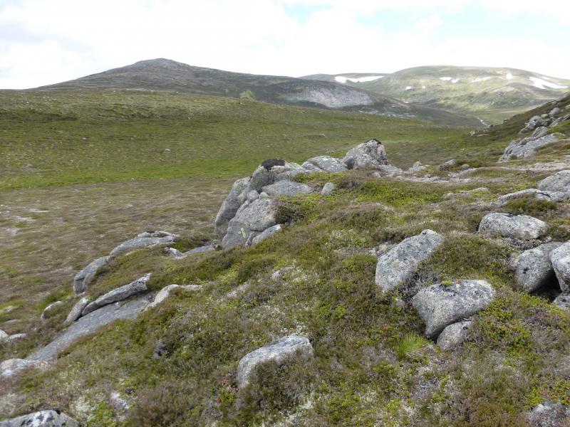
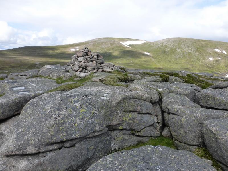
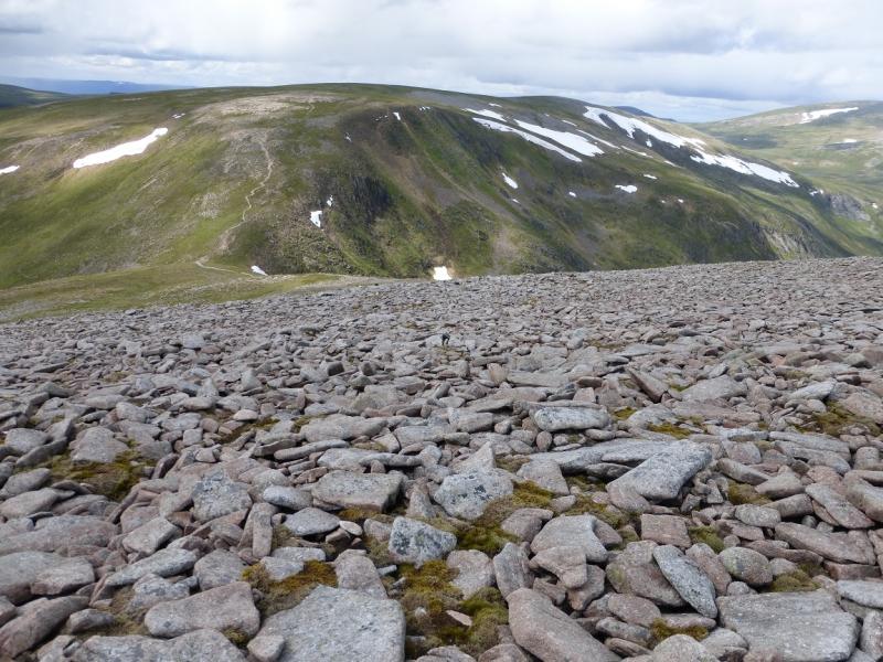
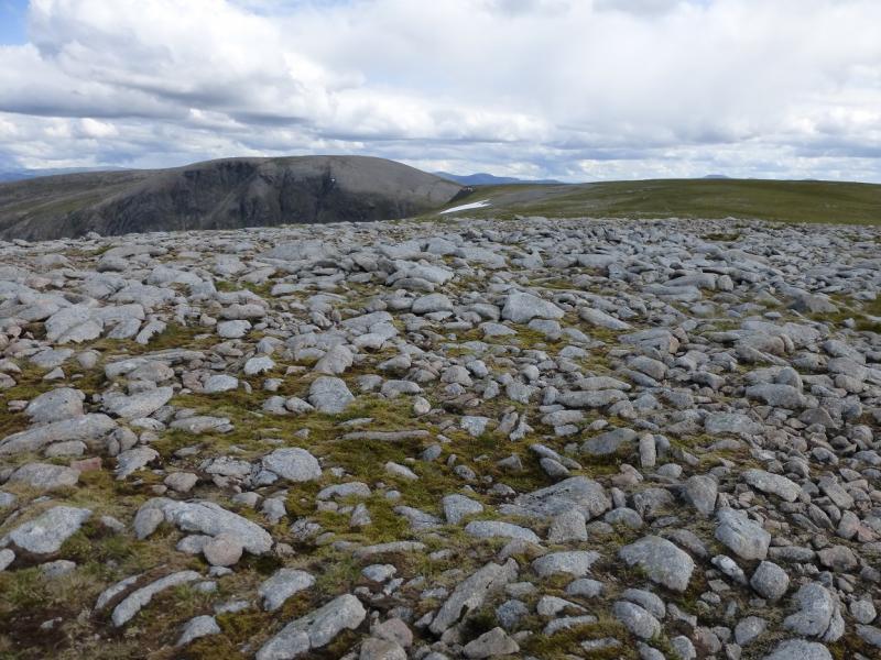
(3) Descend NW, soon reaching a long boulder field. Many of the boulders are flat and almost level making for easier walking than might be expected. Lower down, the boulders end and a good path takes over which leads down to a well defined bealach. There is a cairn above the bealach on the Beinn Bhrotain side. The path continues up the other side of the bealach. It is steep but zig-zags a lot. When the angle eases, it is worth continuing in the same direction and visiting the S Top (1110 m) which has a medium cairn. From here, go almost due N for about 800 m to reach a slightly larger cairn which is the summit of Monadh Mor, 1113 m. The crest of Monadh Mor is quite featureless but is not that wide so should not be too difficult to navigate in mist.
(4) A path leads back from the summit before petering out so be careful to locate the path down to the bealach. The re-ascent of Beinn Bhrotain is helped by being better able to see any path amongst the boulder field. Be careful to go SE from Beinn Bhrotain to pick up the path to Carn Cloich-mhuilinn from where the path down its SE ridge can be followed to traverse the top/shoulder, visited earlier, on its S side. The path does become faint in places but can be followed back to the cairn where the bicycle was left.
Notes
(a) This walk took place on 15th July, 2015. In the past, the hills had been climbed separately with Monadh Mor being ascended from Achlean in Glen Feshie. Beinn Bhrotain could also be included in such a walk but is probably too far to also include Carn Cloich-mhuillin.
(b) Those wishing to ascend the Munro Top of Monadh Mor known as Tom Dubh then this can be included with the Sgor Gaoith route which has already been uploaded.
Photos - Hover over photo for caption. Click on to enlarge. Click on again to reduce.