Get Lost Mountaineering
You are here: Scotland » 08 Cairngorms and Buchan » East of Lairig Ghru to Lairig Laoigh Hills
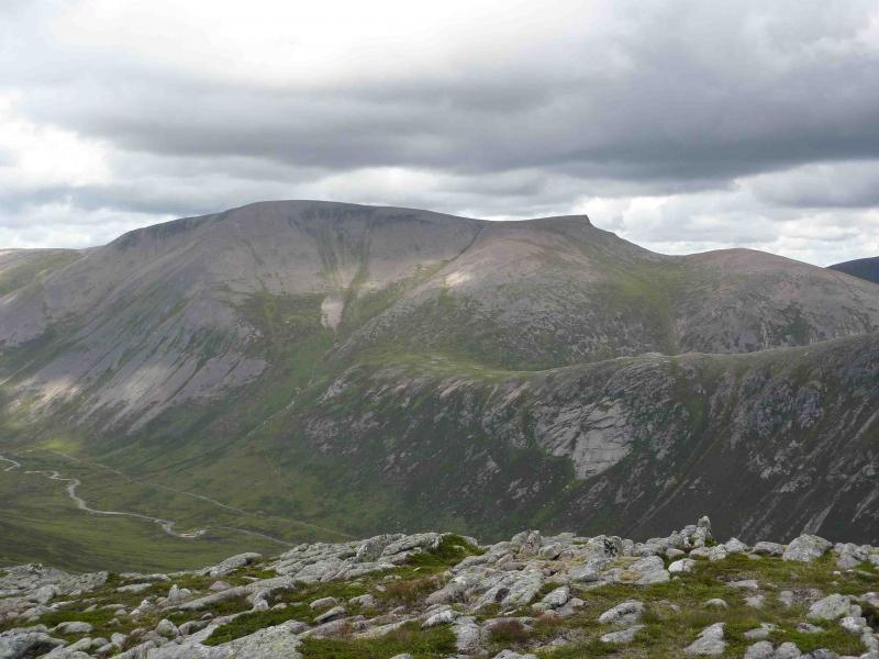
Derry Cairngorm, Ben Macdui & Carn a' Mhaim from Linn of Dee
Derry Cairngorm, Ben Macdui & Carn a' Mhaim from Linn of Dee
Start/Finish
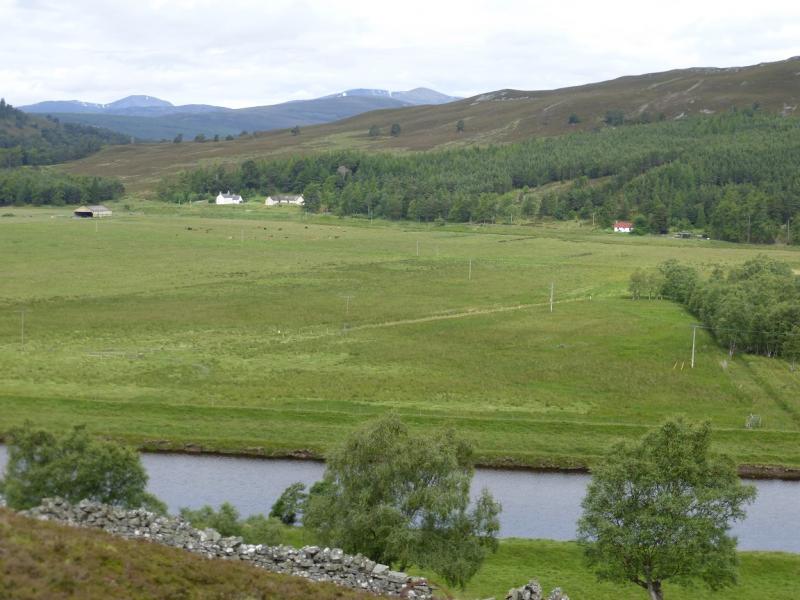
National Trust Scotland car park over the bridge at Linn of Dee which is 6 miles west of Braemar village. Parking is free to NT and NTS members who display a parking sticker.
Distance/Time
11 km bike + 24 km walk. About 10 – 11 hours.
Peaks
Derry Cairngorm, 1155 m, NO 017 980.
Sgurr an Lochain Uaine, 983 m, NO 025 991.
Creagan a' Choire Etnachan, 1108 m, NO 011 996.
Ben Macdui, 1309 m, NN 989 989.
Sron Riach, 1110c, NN 999 977
Carn a' Mhaim, 1037 m, NN 994 951. OS sheets 36 & 43.
Introduction
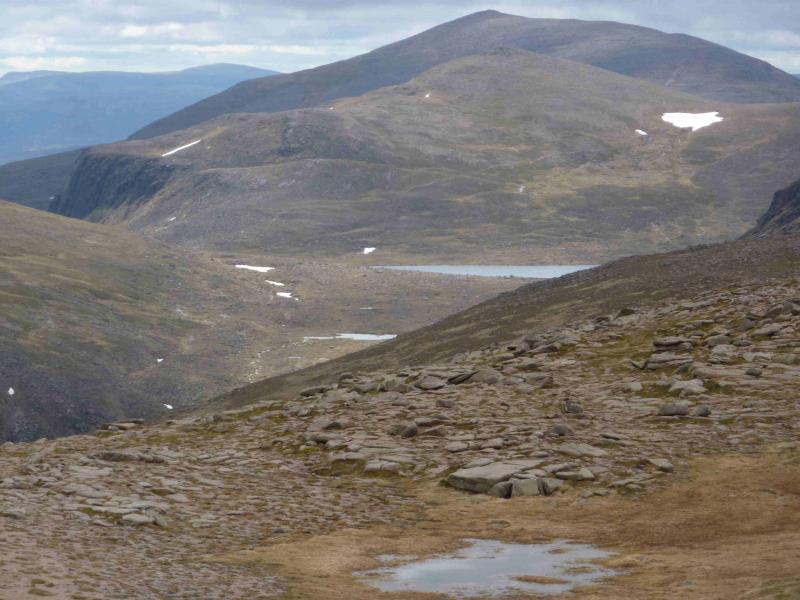
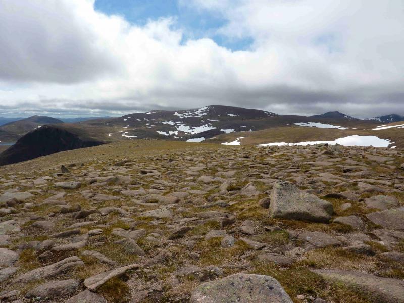
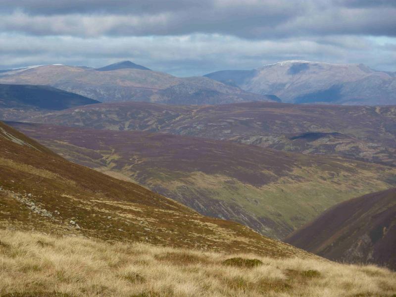
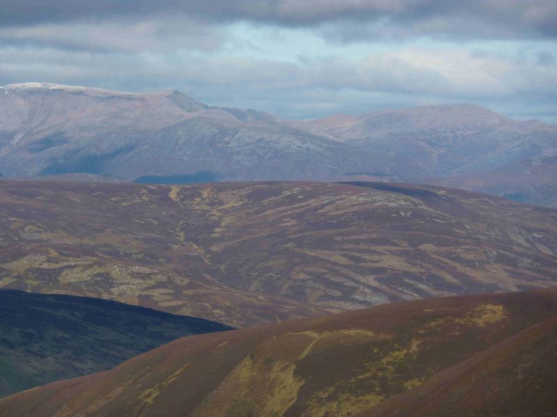
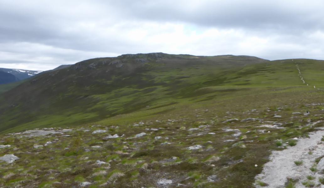
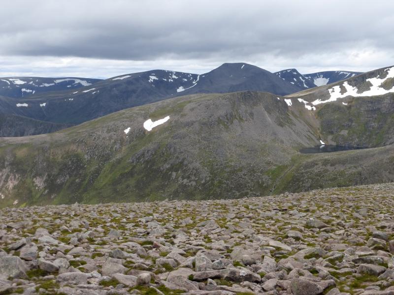
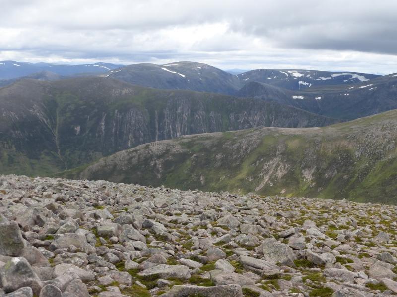
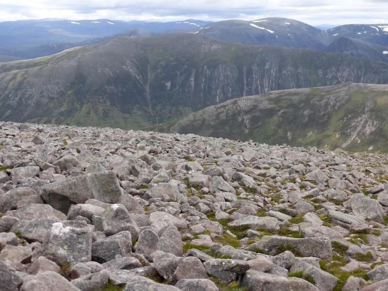
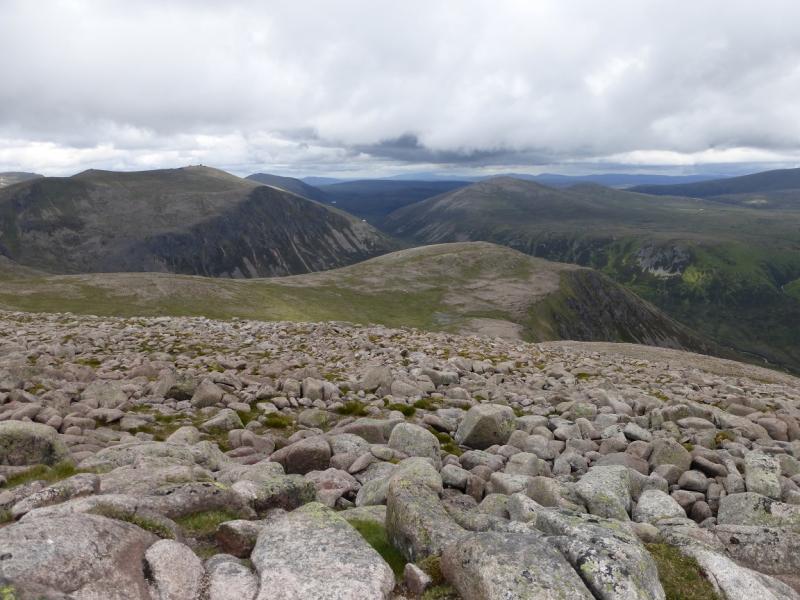
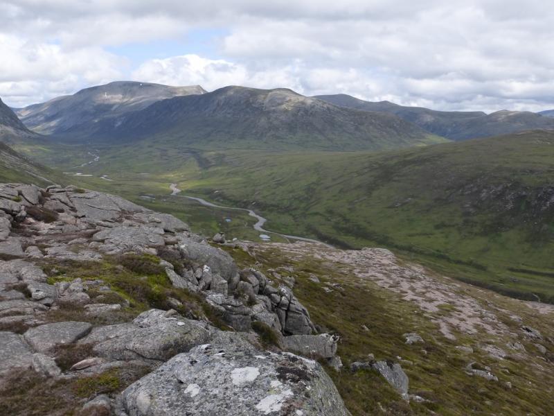
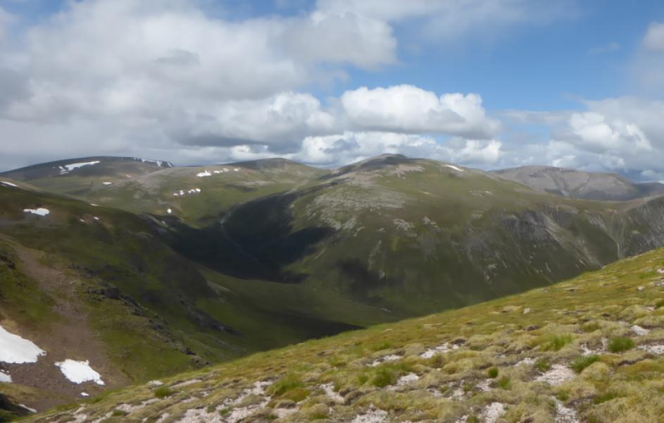
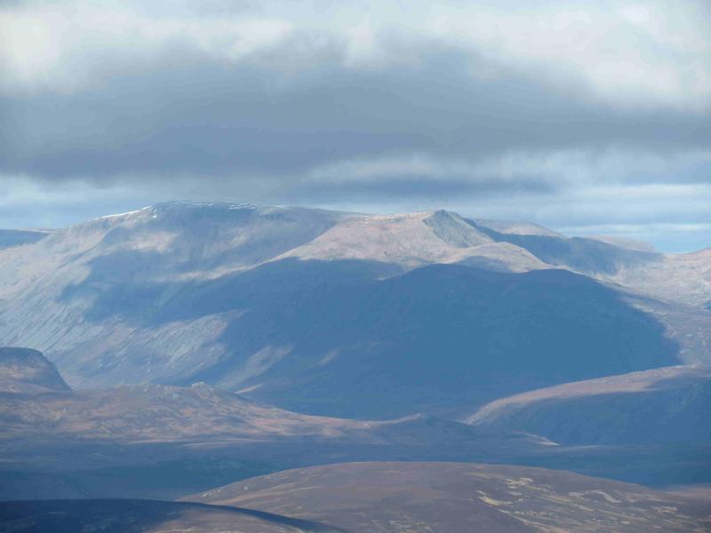
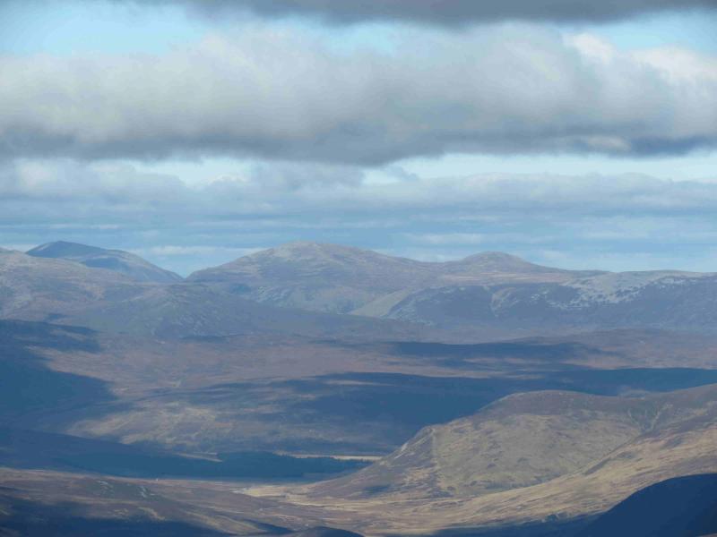
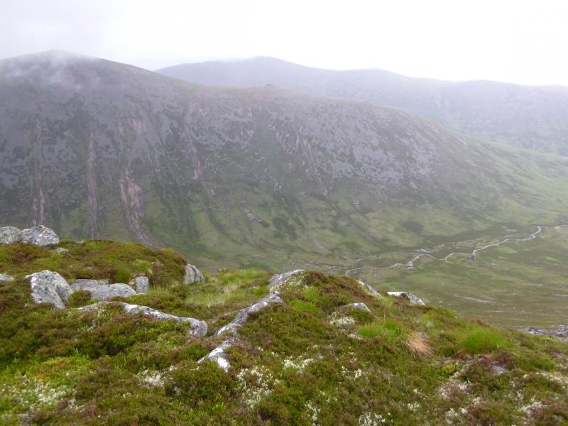
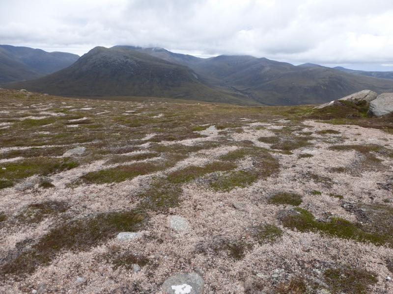
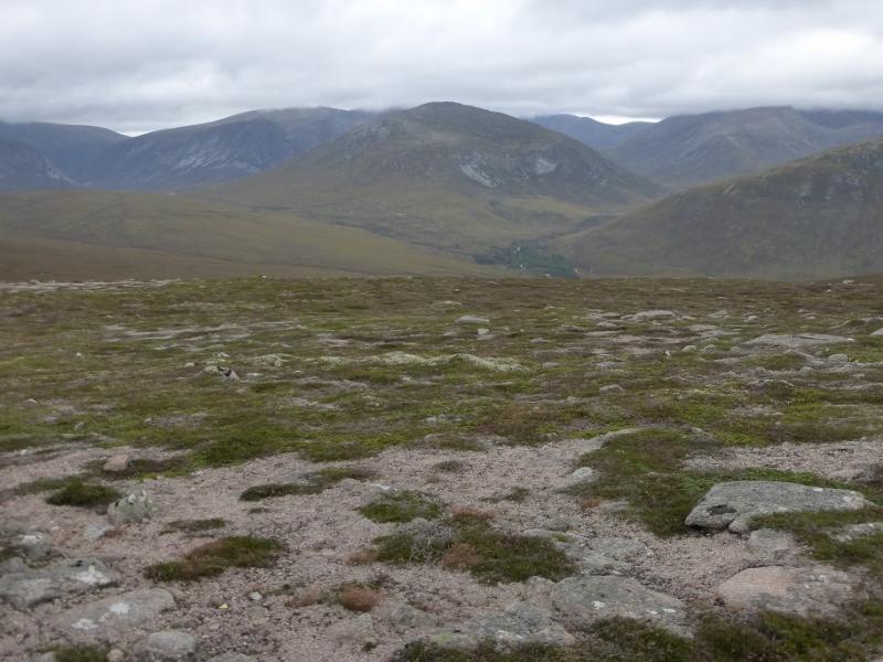
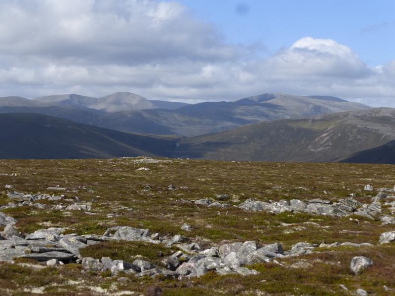
This is a long and tough round – more so because three extra Munro Tops are included. Omitting these saves about 2 -3 hours. Using a bicycle for the relatively easy cycle to Derry Lodge saves at least an hour over walking the entire route. On a clear day, there are, obviously superb views including Cairngorm, Beinn Mheadhoin, Bynack More, Beinn a' Chaorainn, Beinn Bhreac, Beinn a' Bhuird, Beinn Bhrotain, Monadh Mor, Devil's Point, Cairn Toul and Braeriach plus other mountains further afield. Ben Macdui is a taxing place to navigate in mist as its plateau is fairly featureless. One could get away with just using sheet 43 as all the route is, just, on the map but having sheet 36 will help to identify hills to the north of the route such as Cairngorm, Beinn Mheadhoin and Bynack More. All the tops associated with the three Munros are visited on this walk apart from Carn Etnachan which seems to fit better with the route to Beinn Mheadhoin from the Cairngorm Ski car park.
Route
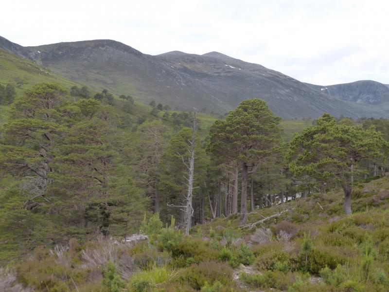
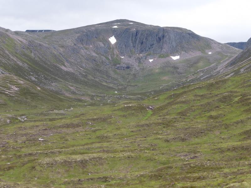
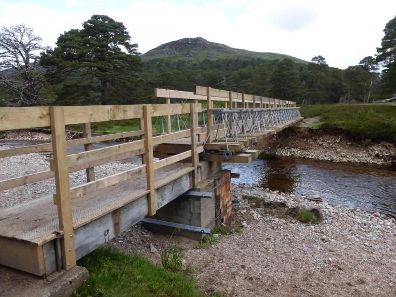
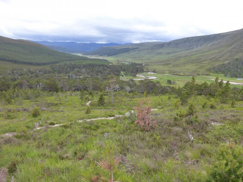
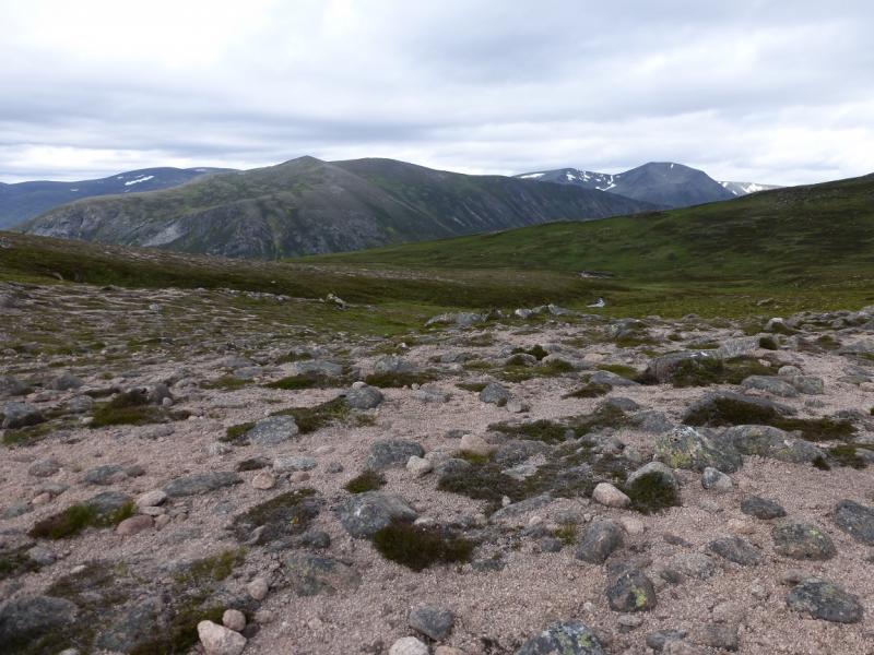
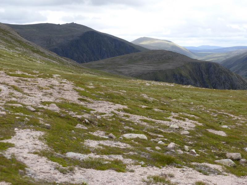
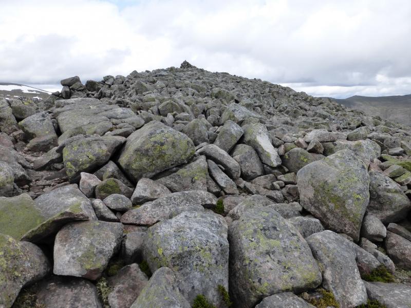
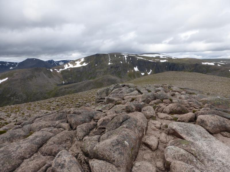
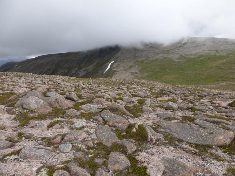
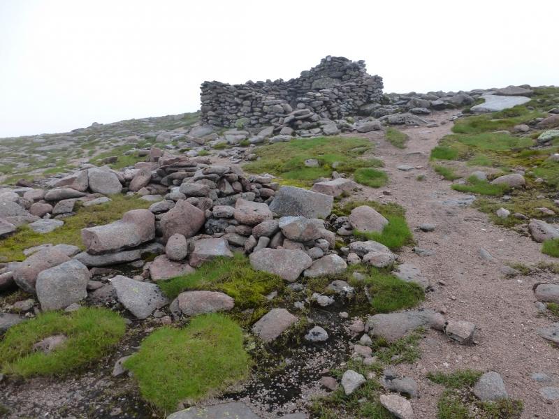
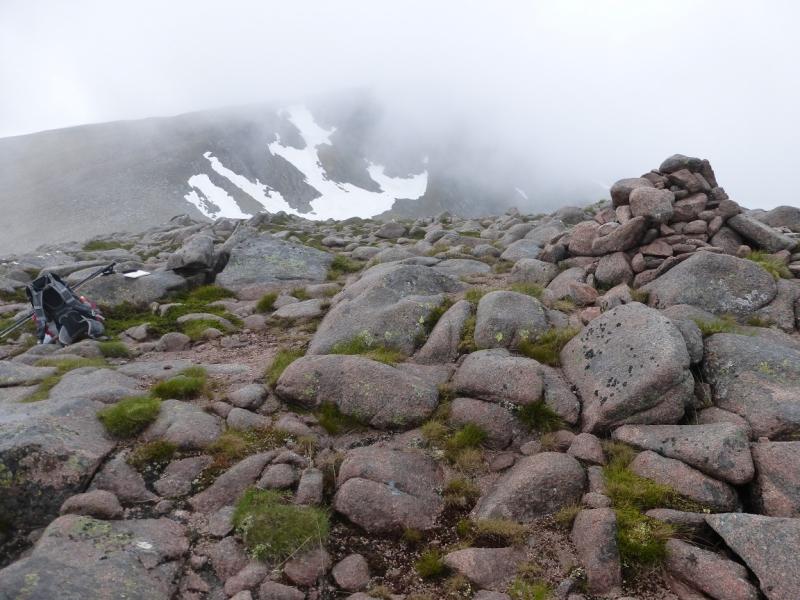
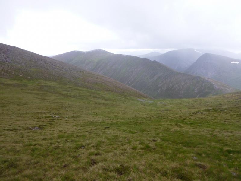
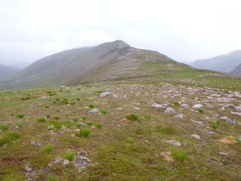
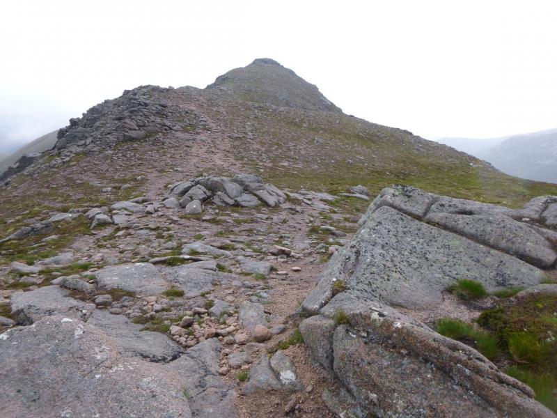
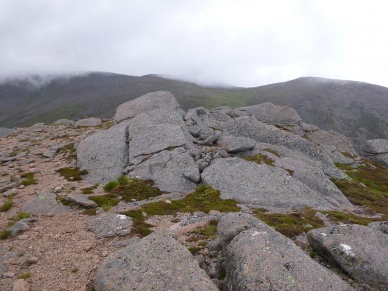
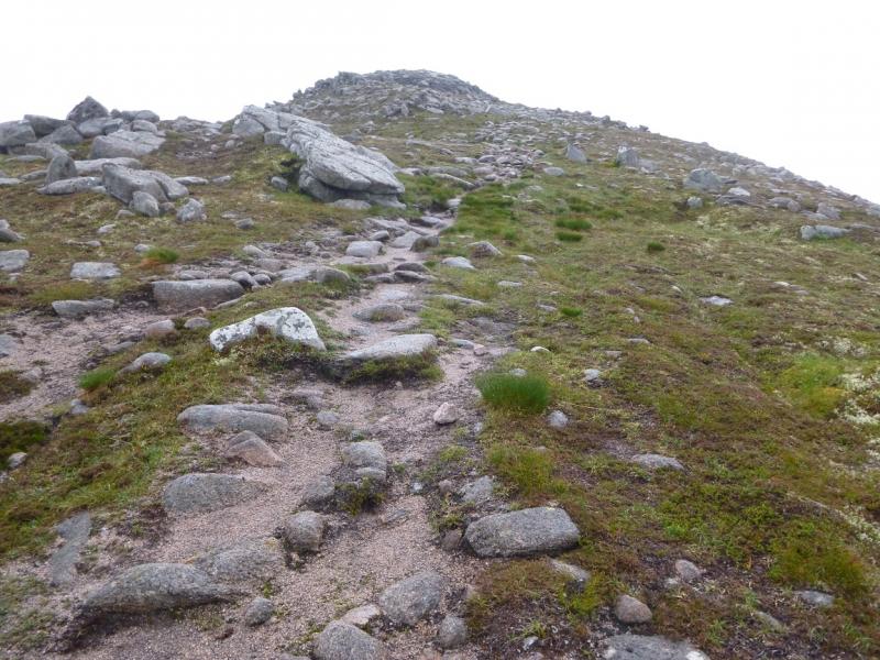
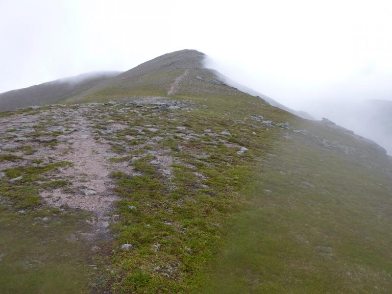
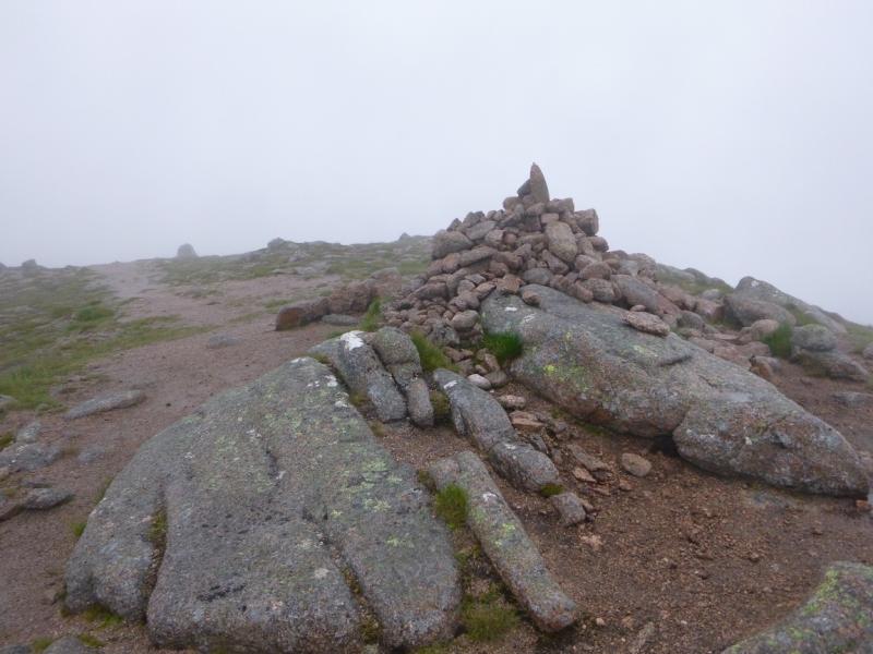
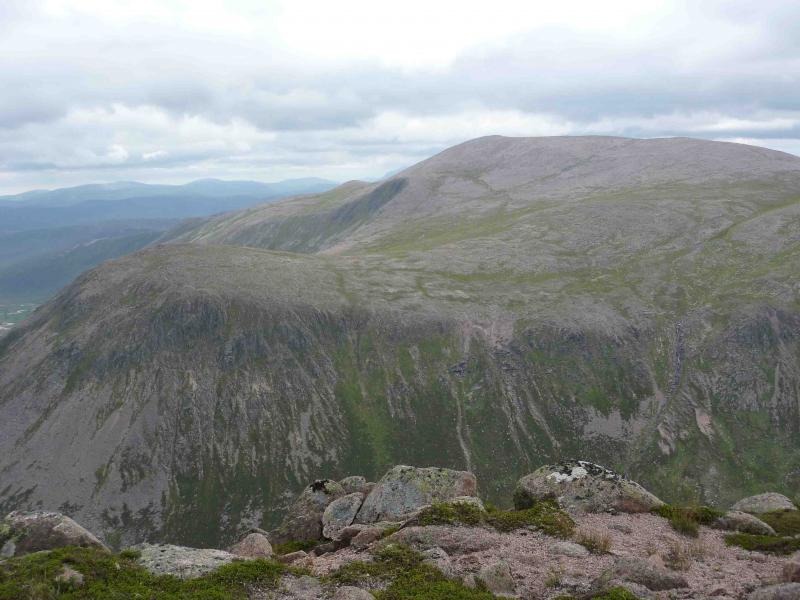
(1) From the car park, follow the path/track signed for Glen Lui. This soon reaches the estate track for Derry Lodge. The track crosses a bridge over the river then goes left before reaching the old stone lodge which is now boarded up. Just past here is a mountain rescue hut. Bicycles can be left here. Cross the Derry Burn by the obvious footbridge then continue straight ahead on a path which heads for the S end of the Derry Cairngorm ridge. This picks its way through the natural pine wood before starting to climb up the SE/SSE ridge of Carn Crom. Much work had been done on this path and it is very easy to follow with steps on the steeper sections. The path passes to the E of the summit of Carn Crom before continuing roughly N along the ridge. The view of Derry Cairngorm is mainly blocked by top 1040. When the good path finally runs out, follow a natural one below the boulder field on the right, E, side of the ridge before a final ascent, over some of the boulder field to reach the short summit crest with a cairn at each end – the N end seems to be the higher and its large cairn marks the summit of Derry Cairngorm, 1155 m.
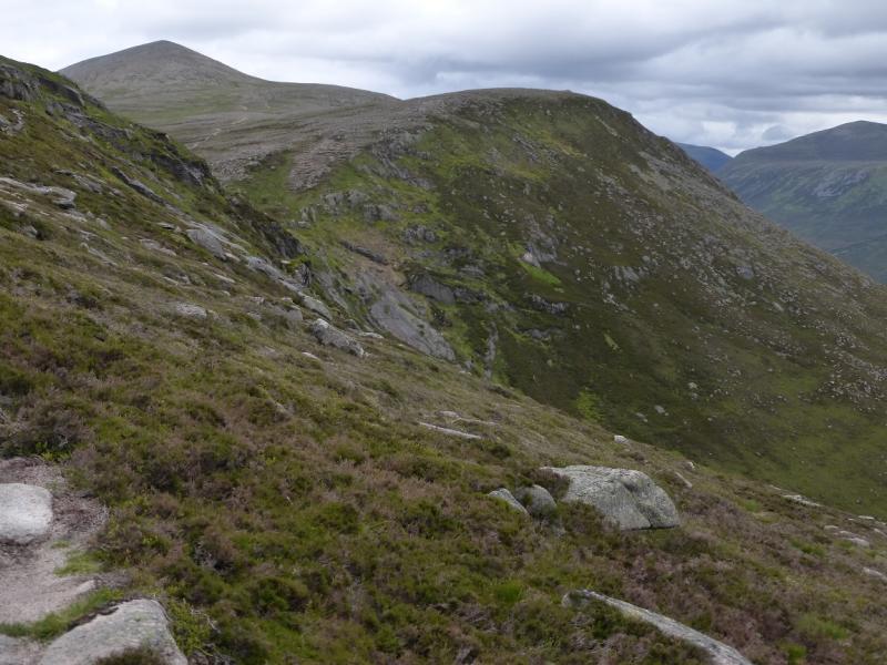
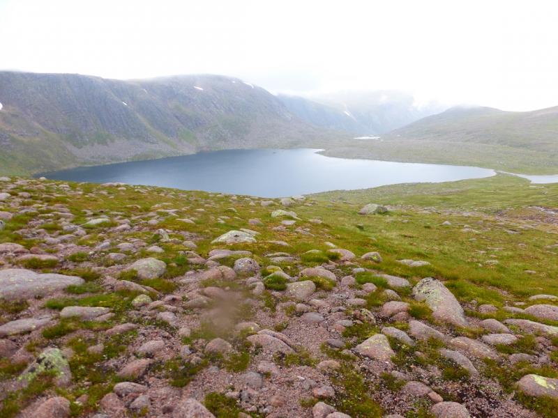
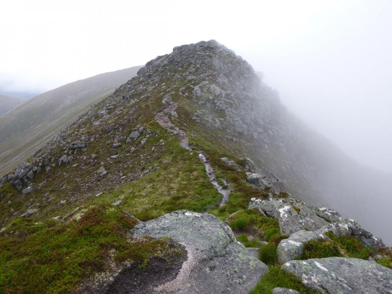
(2) Continue NW along the crest, descending bouldery terrain to reach the bealach before Creagan a' Choire Etnachan. Descend almost due E from here using the grassy strips to avoid the boulder field. Reach another bealach then a short ascent leads to the medium cairn which is the summit of Sgurr an Lochain Uaine, 983 m. Slightly further E there are cliffs dropping towards Glen Derry.
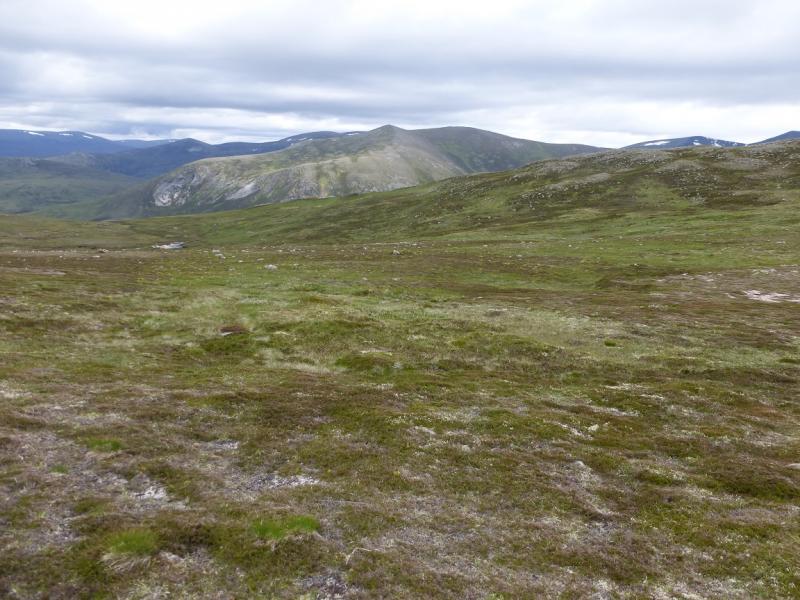
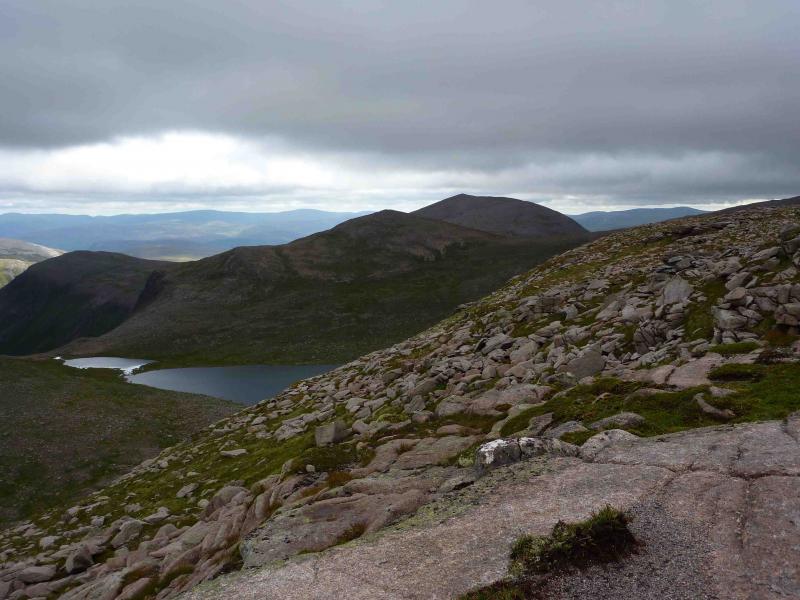
(3) Retrace back to the bealach between Derry Cairngorm and Creagan a' Choire Etnachan and walk N up its S ridge. (The main path traverses this top on its SW flank.) Reach a medium cairn which is the summit of Creagan a' Choire Etnachan, 1108 m, which is a fine viewpoint for Beinn Mheadhoin and its characteristic tors.
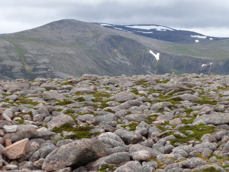
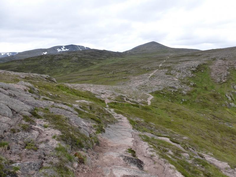
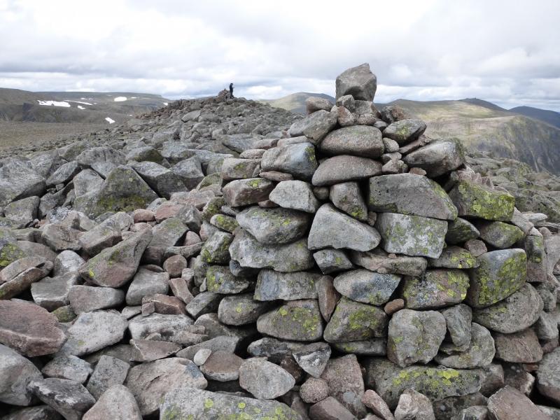
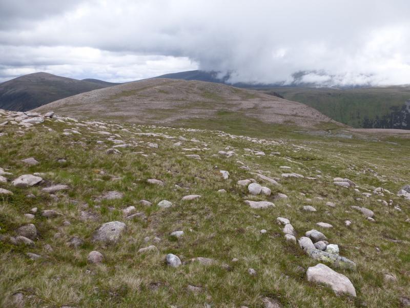
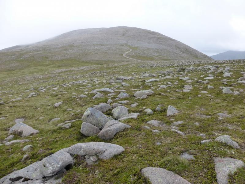
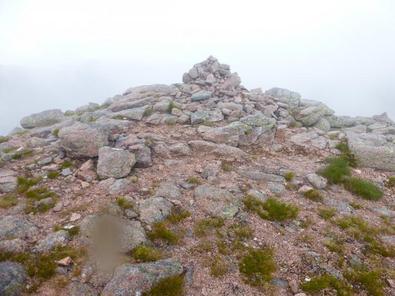
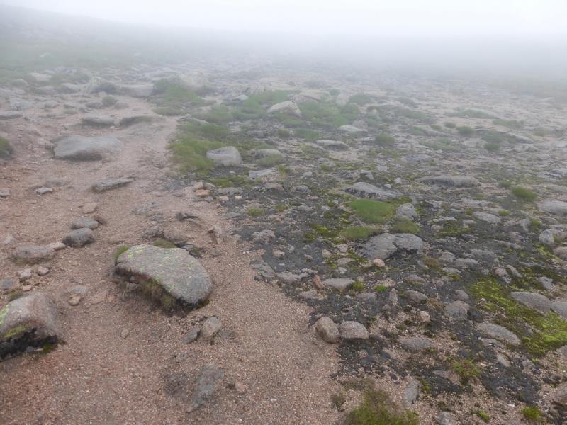
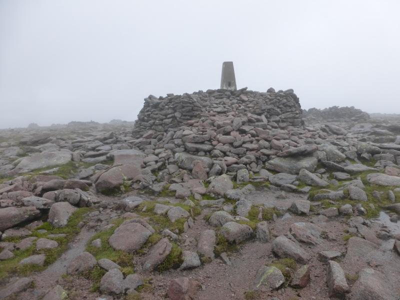
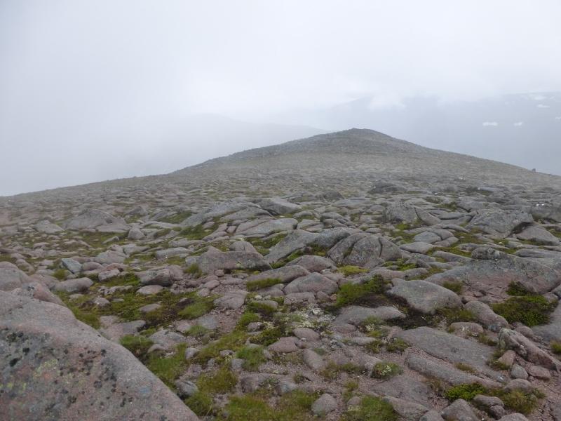
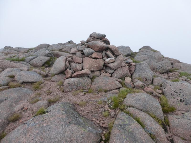
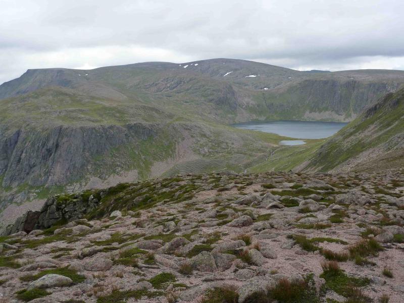
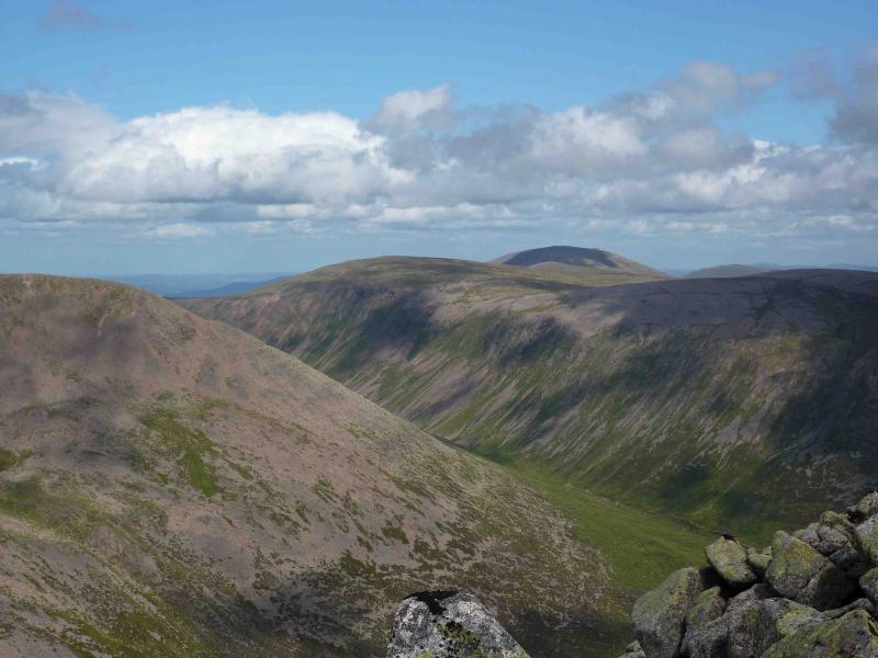
(4) Descend W and regain the path from Derry Cairngorm. Keep looking back to spot a major path coming up from Glen Derry via the Hutchison Memorial Hut and passing close to Loch Etnachan. Join this path as soon as possible as it is the main path up Ben Macdui from this direction. Other paths can peter out on featureless ground. Follow the main path up a ridge heading SW for about 1 km when it gets close to the edge on the left, E. The path then swings W and the gradient eases. After just over another 1 km, reach a massive cairn and trig point which is the summit of Ben Macdui, 1309 m, the second highest mountain in Scotland (and the whole of the UK). There is a viewpoint indicator near to the trig point.
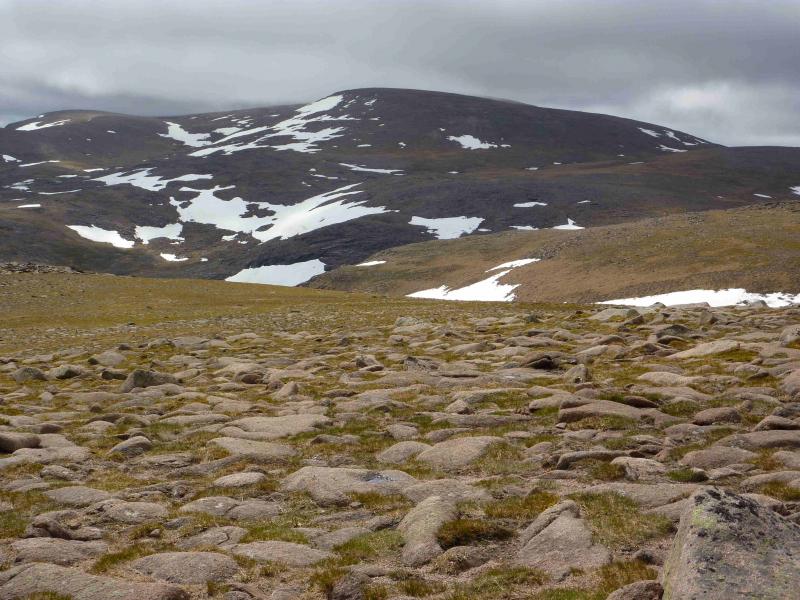
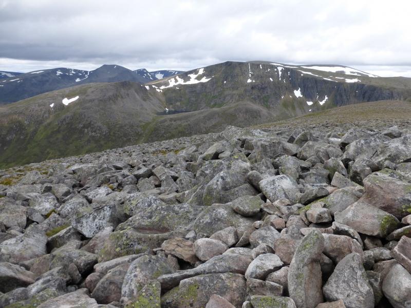
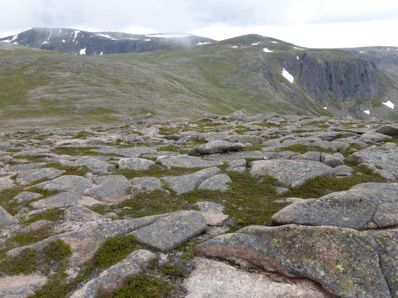
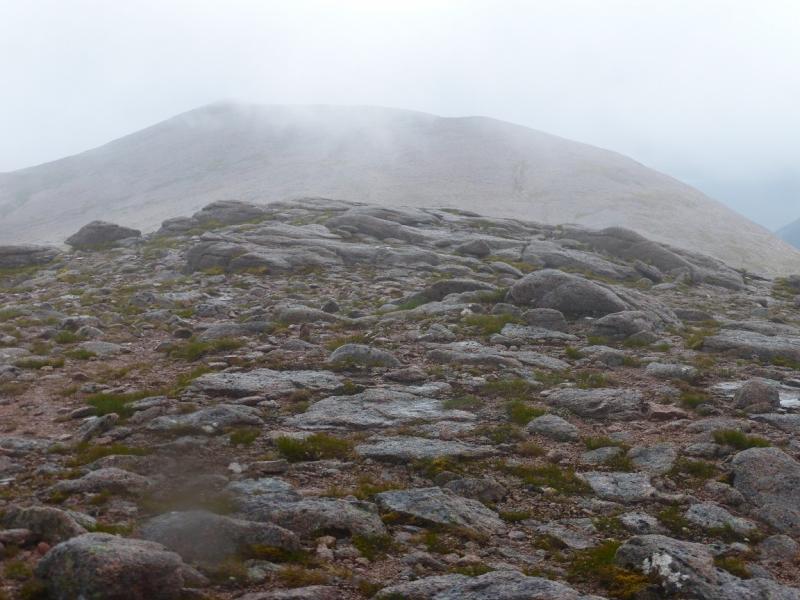
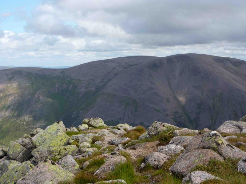
(5) In mist, navigating off the Ben Macdui plateau can be very demanding so go carefully. Walk ESE heading for the “mound” just before the E edge of the plateau at about NN 998 986. Be careful about following a path as it may be the ascent path. If it starts swinging NE, it is! Once by the E edge, follow it down, roughly S, using a path where possible. It is steep and bouldery in places but eventually reaches an obvious bealach. Ascend up the other side (still close to the E edge) to reach a medium cairn which is the summit of Sron Riach, 1110c. The summit area is fairly flat and about 150 m further, there is another cairn which seems lower but visit both just to be sure …
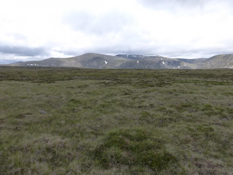
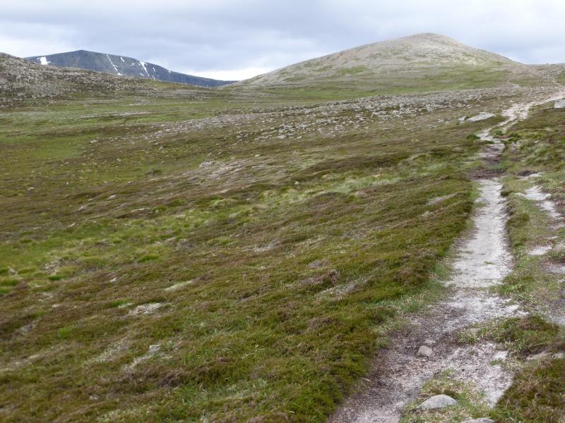
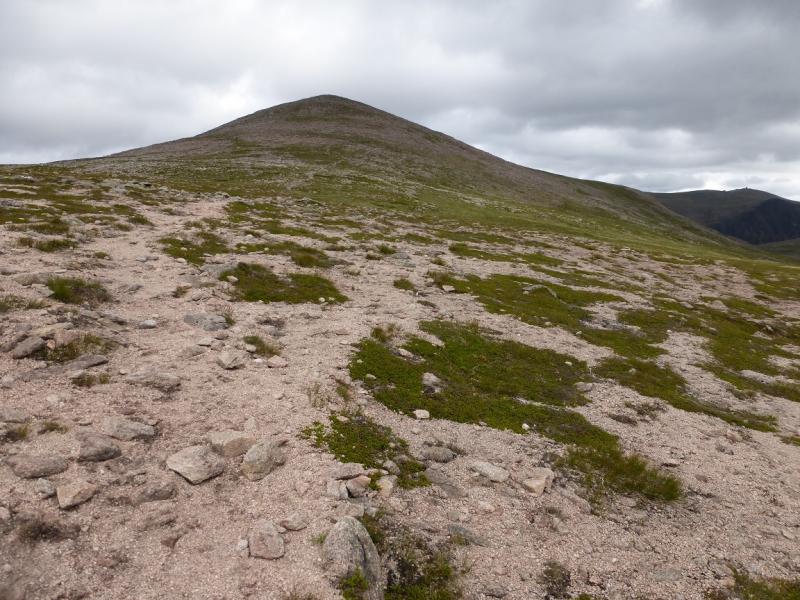
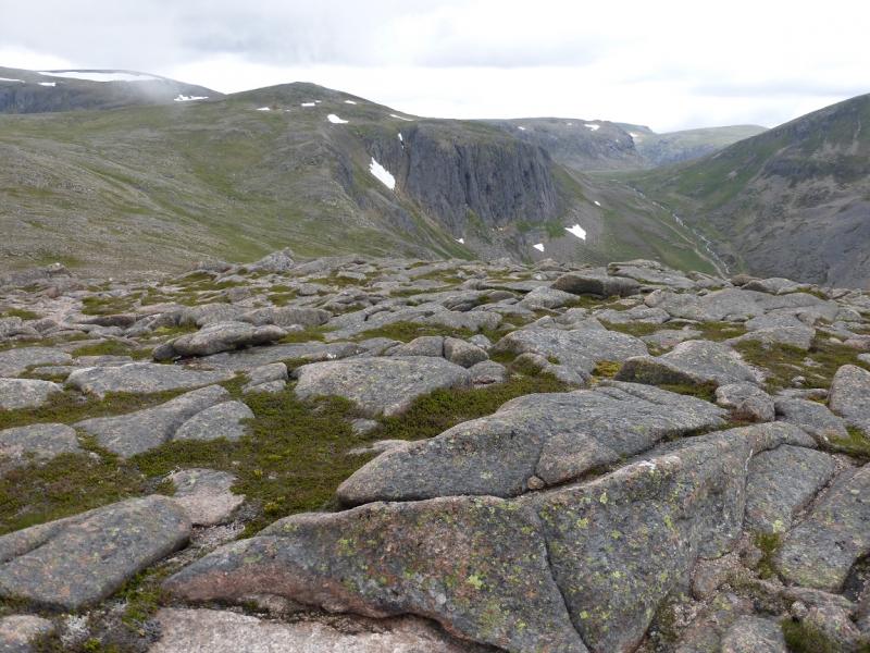
(6) From the second top, make a gentle descending traverse NW – there is a hint of a path and the going is mainly grassy. Do not go as far as the burn known as the Allt Clach nan Tailear. Traverse until on the ridge descending SW to the bealach at the NNW end of Carn a' Mhaim. Some bouldery sections will have to be crossed but it isn't too bad. Eventually, the main path coming down from Ben Macdui will be met and can be followed down to the bealach. When the grassy bealach is reached, ascend the obvious ridge heading SSE on a reasonable path. It is about 2 km befor ethe medium cairn is reached which is the summit of Carn a' Mhaim, 1037 m.
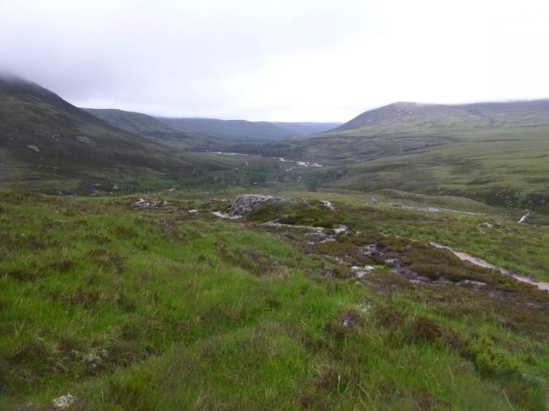
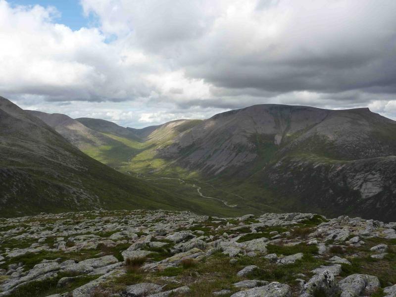
(7) A good path continues beyond the summit and one can visit the lower SE top before descending S then SE down the obvious ridge. There is a good path but it can be lost in mist so be careful as, off the path, the ground is quite rough. Lower down the path steepens and eventually joins the path from Derry Lodge to the Lairig Ghru. Go left, E, and follow the path towards the Luibeg Burn which can only be forded in a dry spell. The bridge is a short diversion N on an old, sometimes boggy, path. Once across the burn, follow the path through Glen Luibeg. After it becomes a track, there are some very wet and boggy sections before the bridge over the Derry Burn is reached just before Derry Lodge from where the track leads back to the Linn of Dee.
Notes
(a) This walk took place on 14th July, 2015, and about 15 years earlier.
(b) For those just wishing to climb Ben Macdui, the shortest route goes from the top Cairngorm Ski car park by a purpose built path. This route has yet to be uploaded but, in clear weather, it is very straightforward.
(c) Omitting Sgurr an Lochain Uaine saves nearly an hour as there is much re-ascent.
(d) Omitting Creagan a' Choire Etnachan saves, maybe, 15 minutes as the path just by passes the summit but it is a very good viewpoint and well worth visiting.
(e) Omitting Sron Riach will saves around 45 minutes.
(f) Including Carn Etnachan is a significant addition (up to 4 km and 1 – 2 hours) and, logically, the detour should be made before reaching the top of Ben Macdui. This extension has not been checked out.
Photos - Hover over photo for caption. Click on to enlarge. Click on again to reduce.
 from Aviemore Station.jpg)