Get Lost Mountaineering
You are here: Scotland » 08 Cairngorms and Buchan » Eastern Cairngorms to Lecht Road
Carn Liath & Culardoch from Keiloch, Invercauld
Carn Liath & Culardoch from Keiloch, Invercauld
Start/Finish
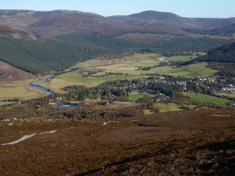
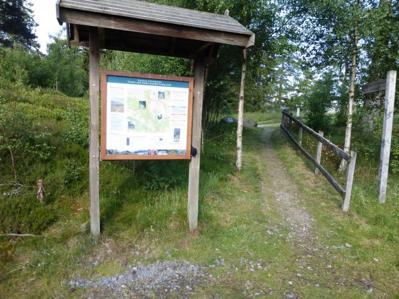
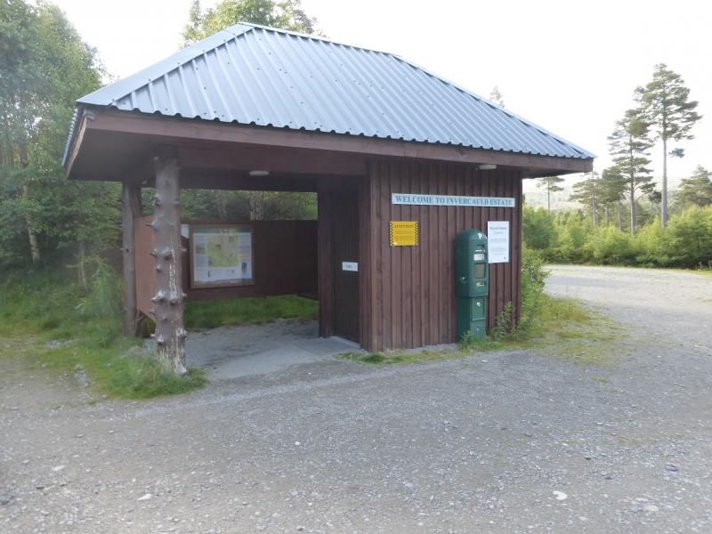
Keiloch walkers' car park which is well signposted off the A93 Braemar to Ballater road. From Braemar, drive towards Ballater for about 3 miles. The turning is on the left, just after the Invercauld Bridge over the River Dee. The car park is pay and display. It was £2.50 per day in 2015. There is a shelter and a toilet plus some information.
Distance/Time
15 km bike + 10 km walk. About 7 hours.
Peaks
Carn Liath Central Top, 862 m, NO 165 977.
Carn Laith NW Top, 862 m, NO 157 981.
Culardoch, 900 m, NO 194 988. OS sheet 43.
Introduction
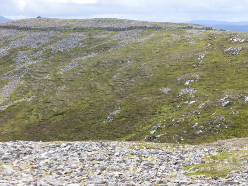
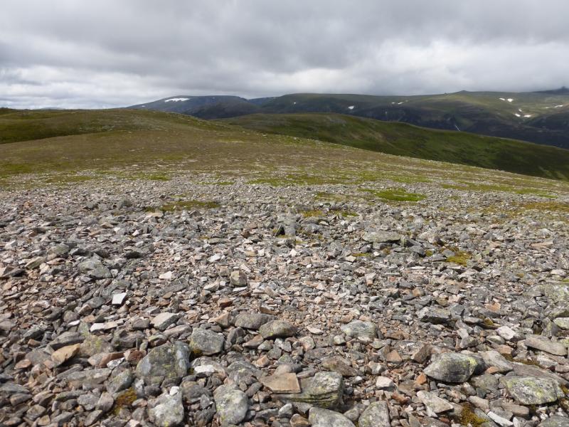
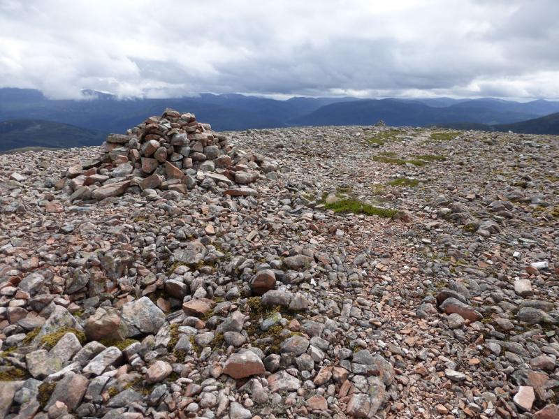
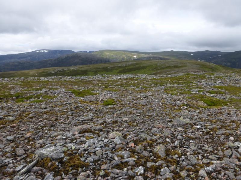
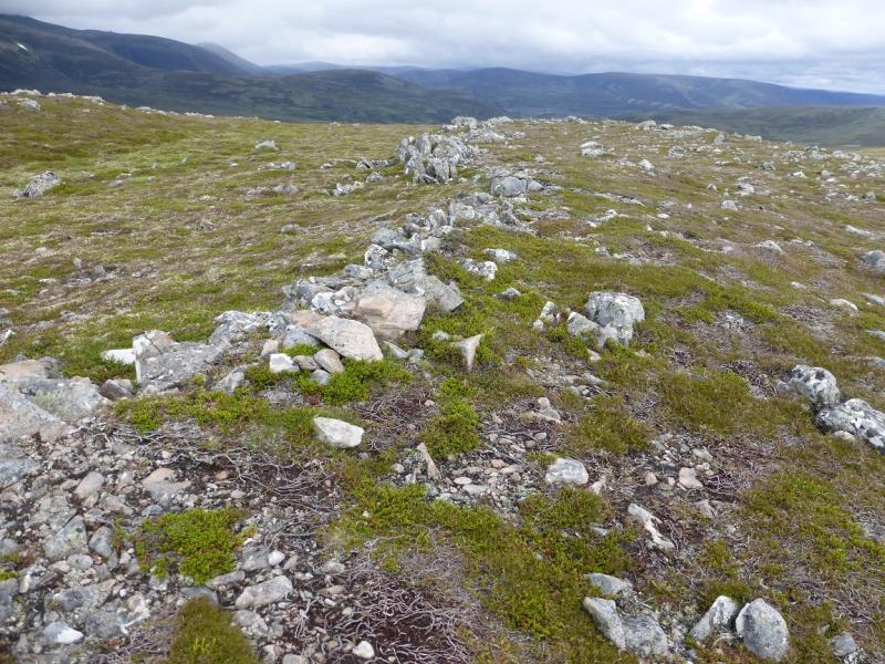
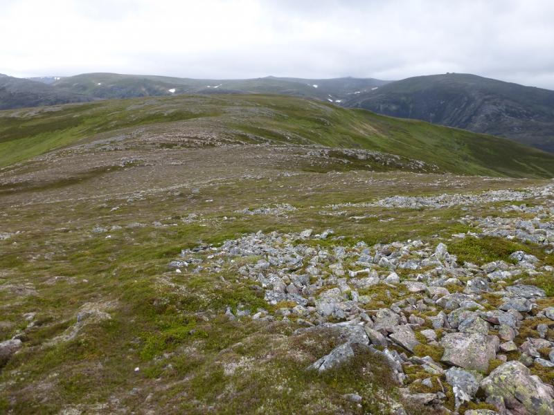
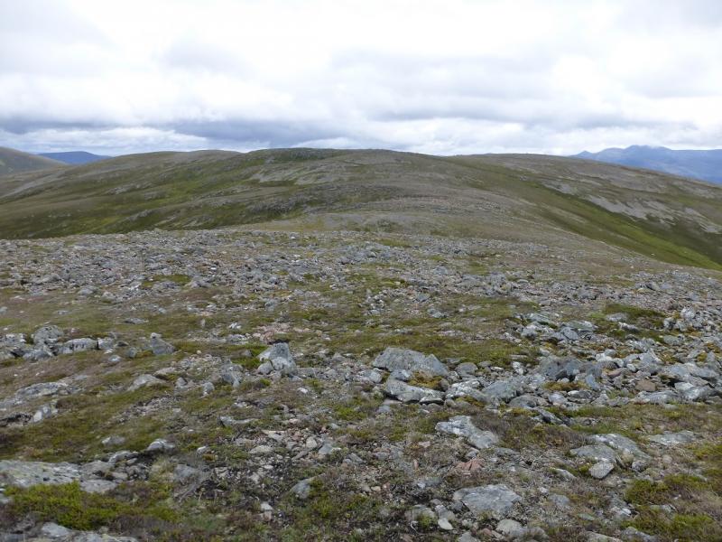
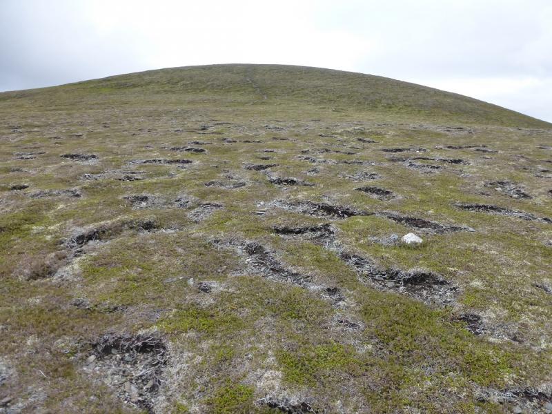
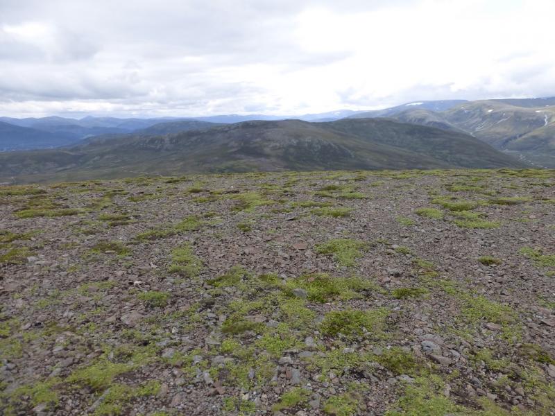
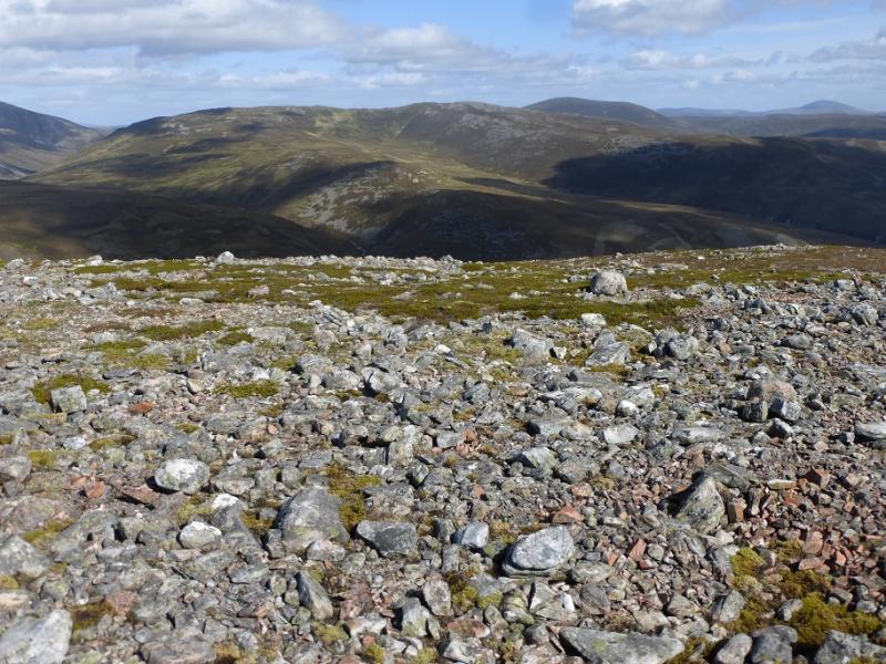
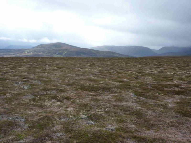
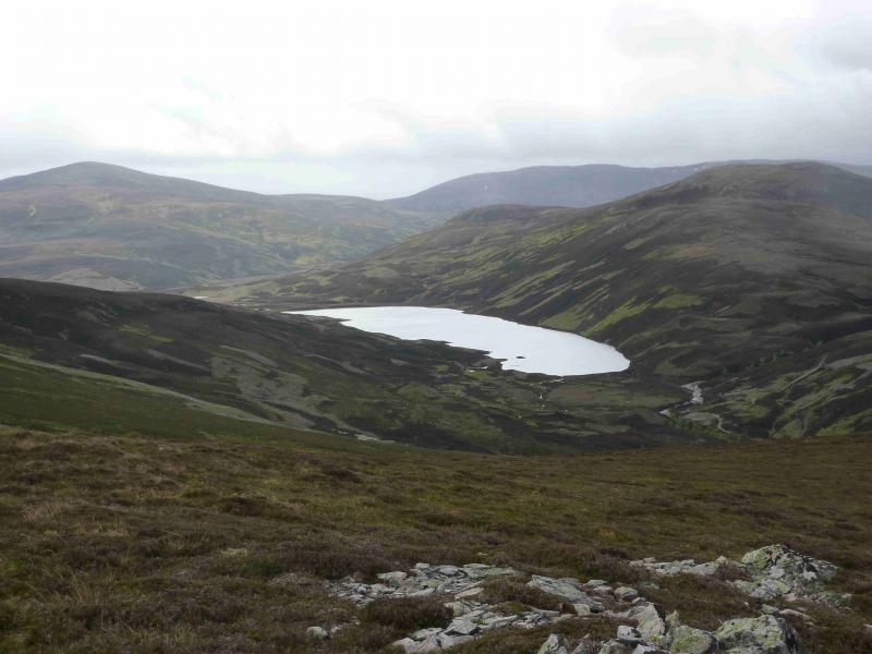
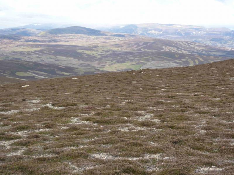
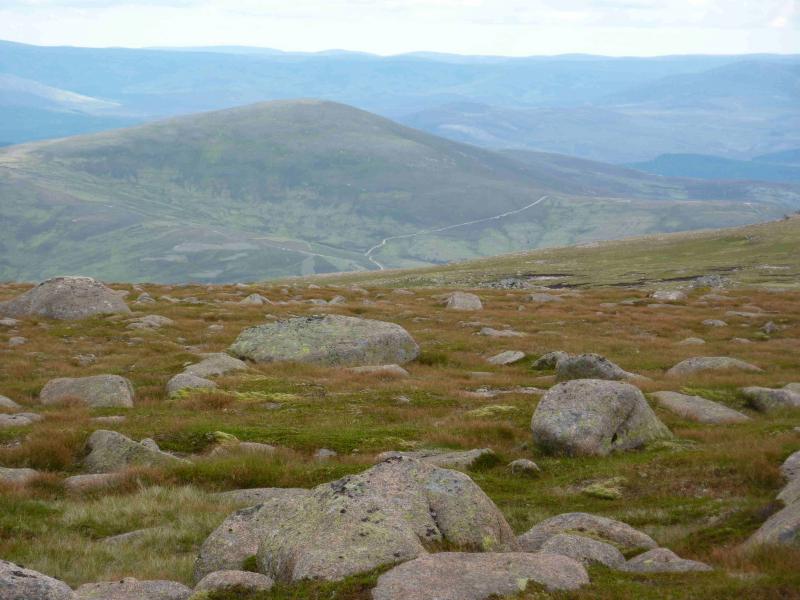
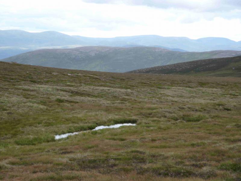
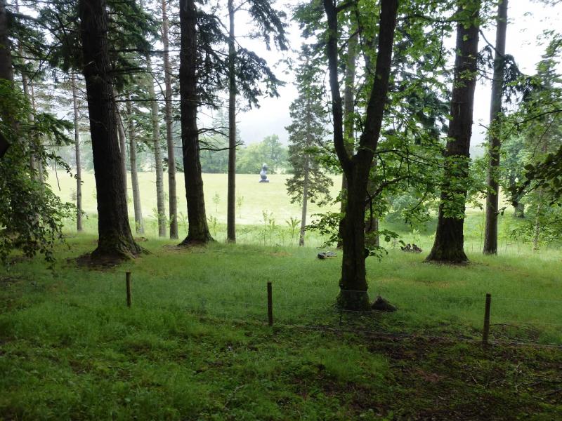
This is a pleasant walk on what are essentially high moorland hills. The cycle in is more strenuous than most others in this area but is, mainly, a long free wheel on the return. Both hills are good viewpoints for the surrounding hills especially Ben Avon and Lochnagar which are both well seen on a clear day. Carn Liath has lots of tops of about the same height and it is hard to tell which is/are the highest. The OS map shows two tops of 862 m, Central & NW) but visual observations on the ground suggest that the NW top is lower than the Central one but this may be an illusion of perspective! Given that many tops are under review, it would be prudent to visit every top which might be the summit just in case … Given all this, it makes much sense to visit Carn Liath on a clear day.
Route
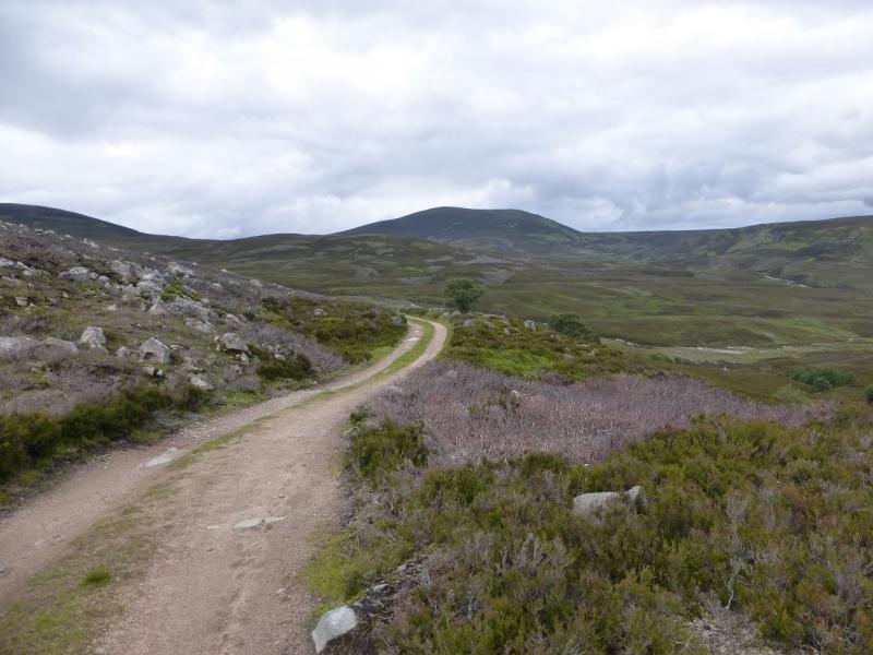
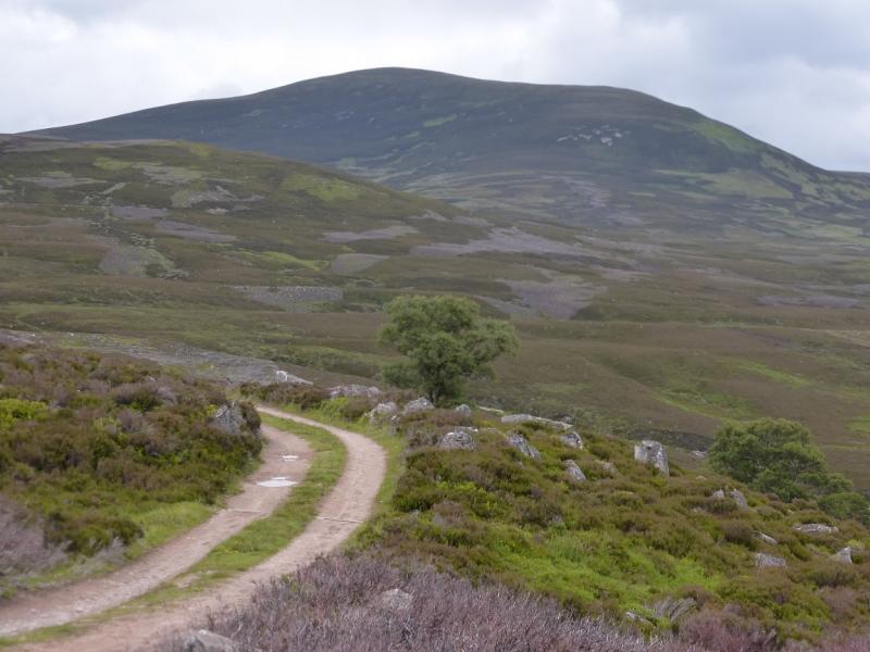
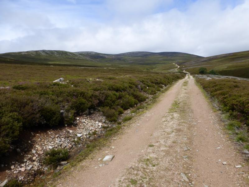
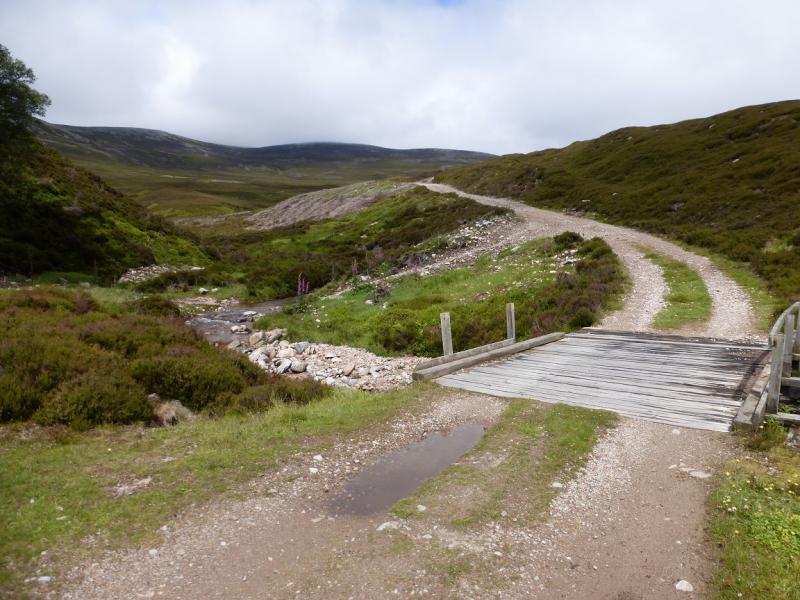
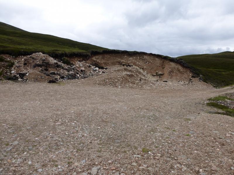
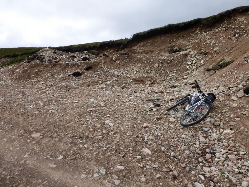
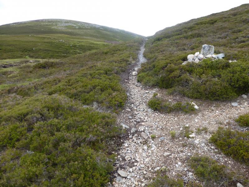
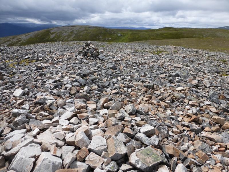
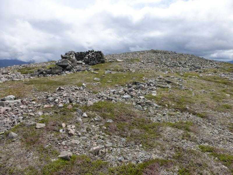
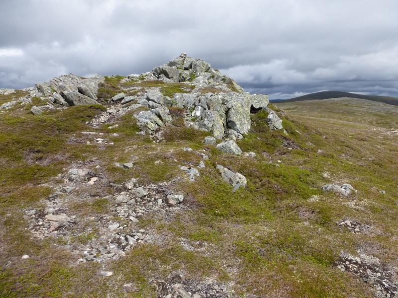
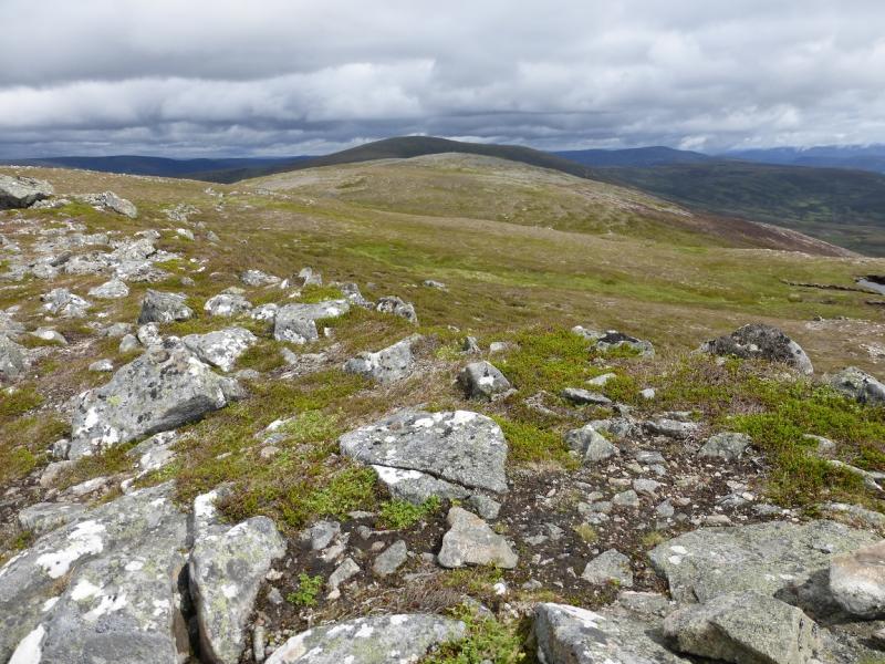
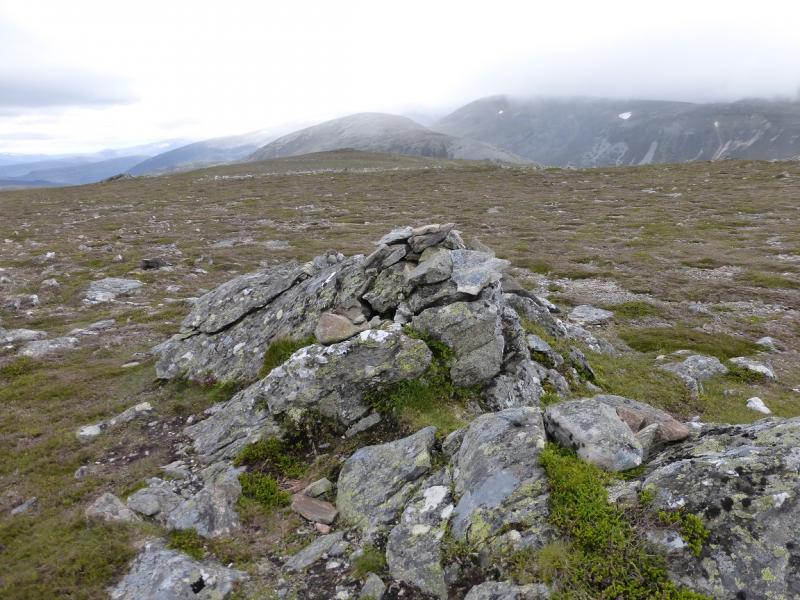
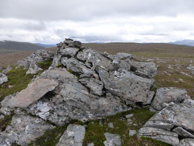
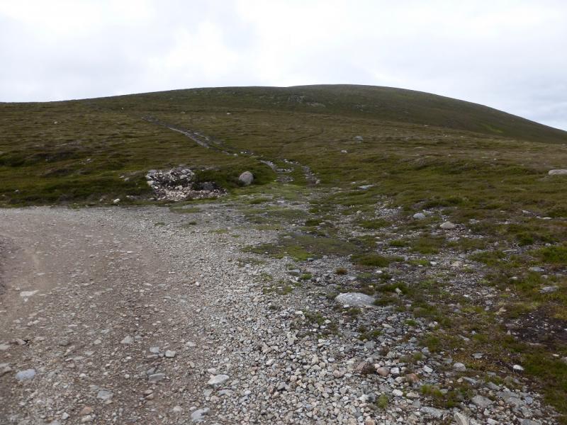
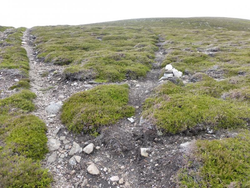
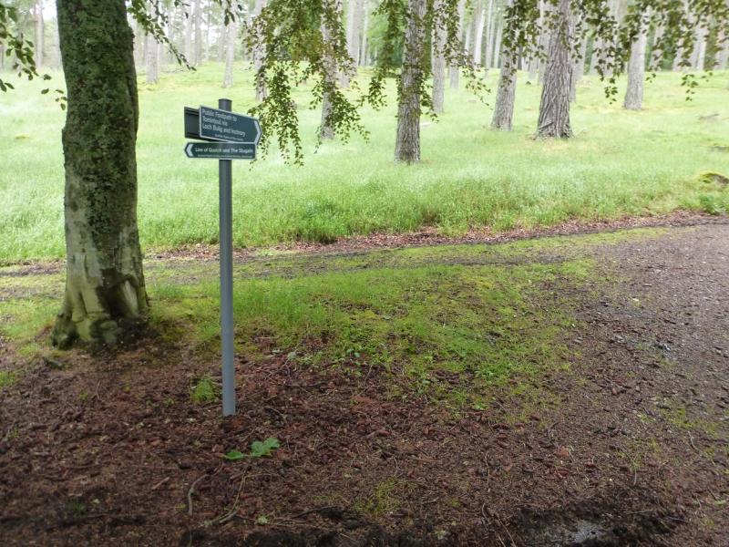
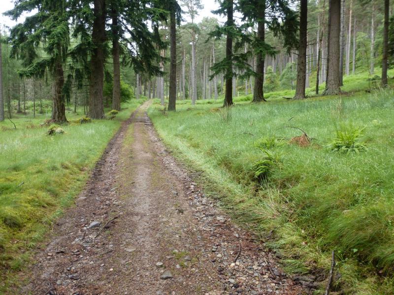
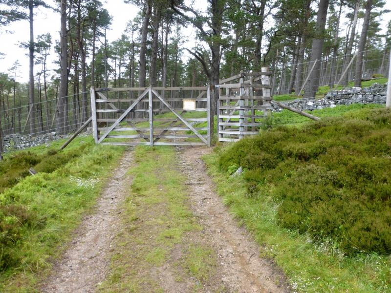
(1) From the car park, continue up the private road, for about 1.5 km, where a signed track (Loch Builg, etc) goes right roughly opposite Invercauld House (largely hidden by trees). This track is old, rough in places and can be muddy; it goes N for about 3 km, climbing almost continually, before leaving the trees behind just after it joins a better and newer track. The track now undulates for the next 3 km but there is more up than down. It reaches the Bealach Dearg, between the two hills at a wide point where stone has been extracted, creating much rubble. Leave bikes here. On 19/7/15, there was no sign of the building shown on the 1984 map. Continue up the track for less than 100 m to reach a cairn and path on the left. Follow this path a short distance before branching off left on a path which heads for the E ridge of Carn Liath. (The path just left descends down to the River Gairn). Lower down, the ground can be wet but, once on the ridge, it improves considerably. Follow the path up; it can be faint in places. Eventually reach the E Top which has a medium cairn. Continue and contour around the top of a grassy corrie to reach the end of a wall. The S Top is a little beyond here with two lower cairns a little further still. Retrace back along the wall and follow a path up to a small cairn which is the Central Top and one of the (current) summits of Carn Liath, 862 m.
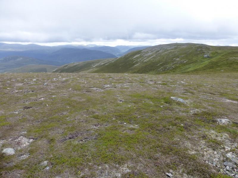
(2) Descend NW, crossing a shallow dip, then ascend to a plateau where there is a cairn which seems not to be the highest point. Continue on. The highest point may not be marked by a cairn! A little further there is a small cairn on an outcrop which may be the other (current) summit of Carn Liath, 862 m.
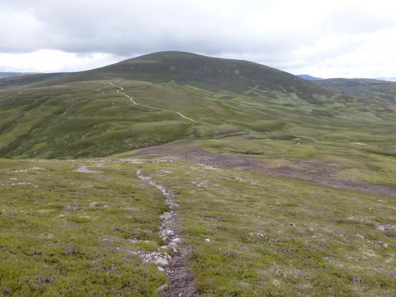
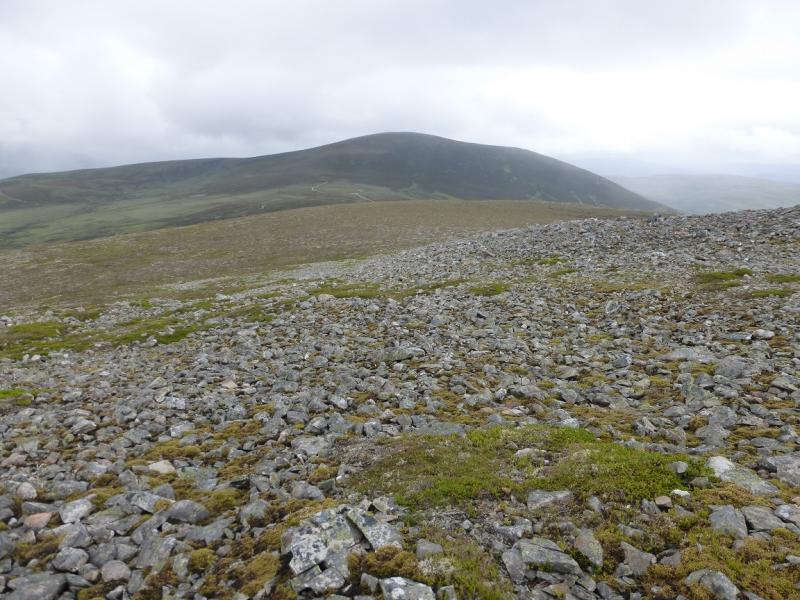
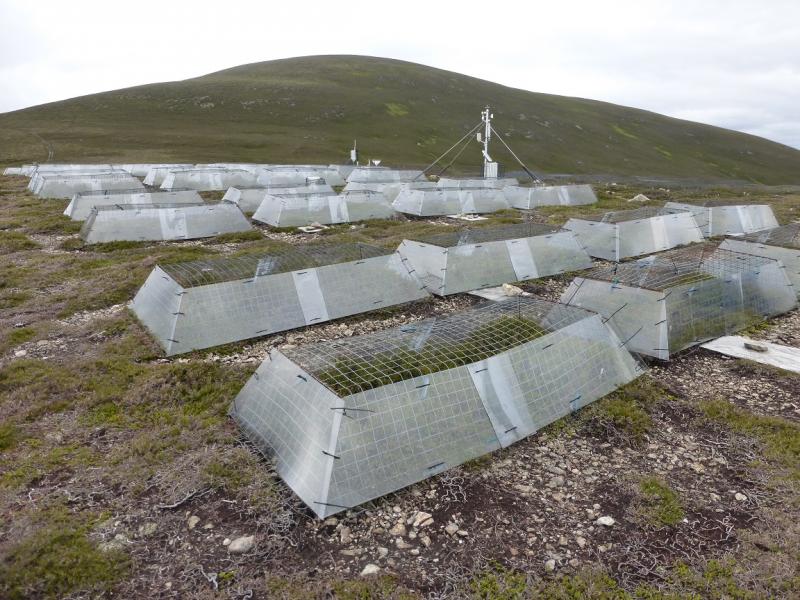
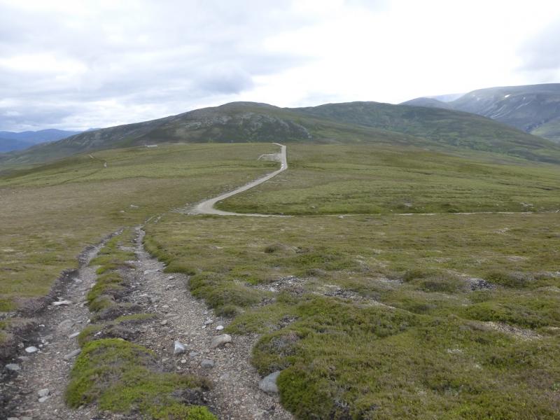
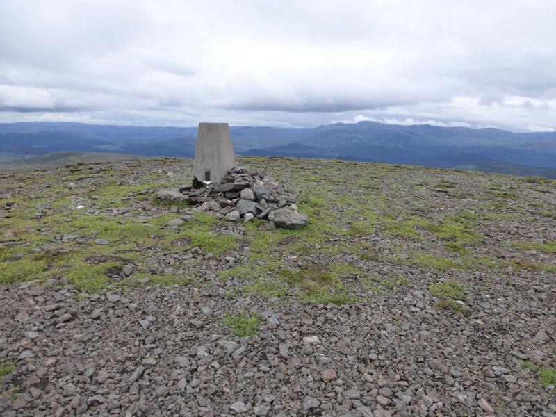
(3) Retrace to the Central then E Top and descend the path down the E ridge to regain the main track in the Bealach Dearg. Follow the track up on to a shoulder. On 19/7/15, there seemed to be an experiment going on here involving heather. A little further, leave the track on a corner and take a rougher track then leave this for a path at a cairn. Follow the path (not always distinctive) up the W ridge of Culardoch to the flat top where a trig point marks the summit of Culardoch, 900 m.
(4) Retrace back to the main track and follow it back to the Bealach Dearg then back to the private road by Invercauld House and then to Keiloch,
Notes
(a) This walk took place on 19th July, 2015, and about 15 years previously.
(b) The better and newer track referred to above seems to start at Alltdourie. This will only be recent maps and is not on the 1984 edition. The Alltdourie track may be a better option although it looks slightly longer. It has not been checked out.
Photos - Hover over photo for caption. Click on to enlarge. Click on again to reduce.
 meets new track.JPG)