Get Lost Mountaineering
You are here: Scotland » 06 Drumochter to Glen Shee » West of Cairnwell Pass
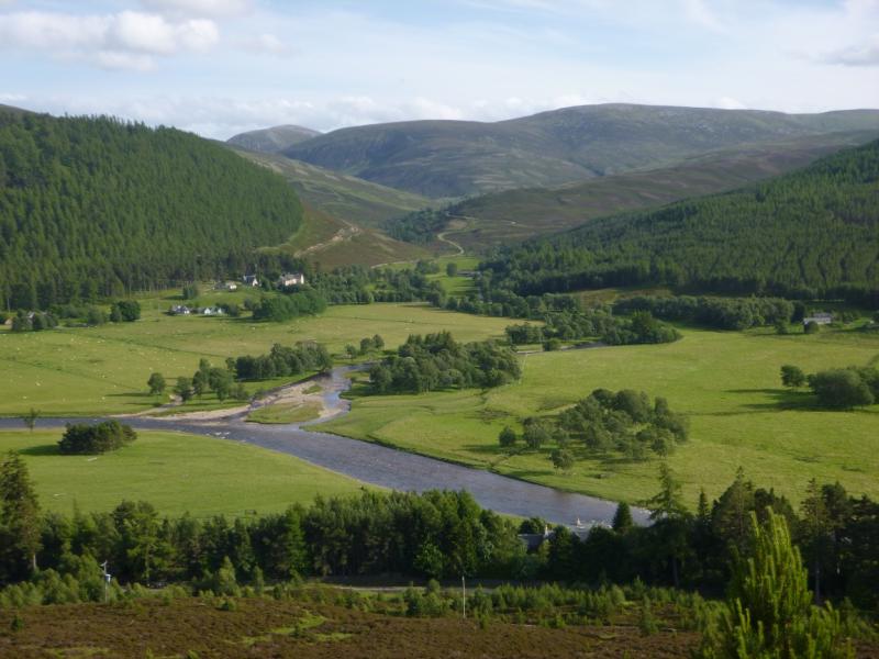
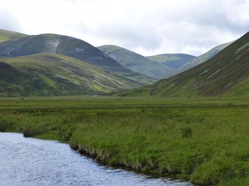
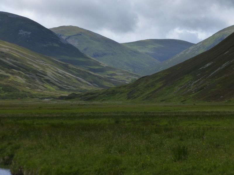
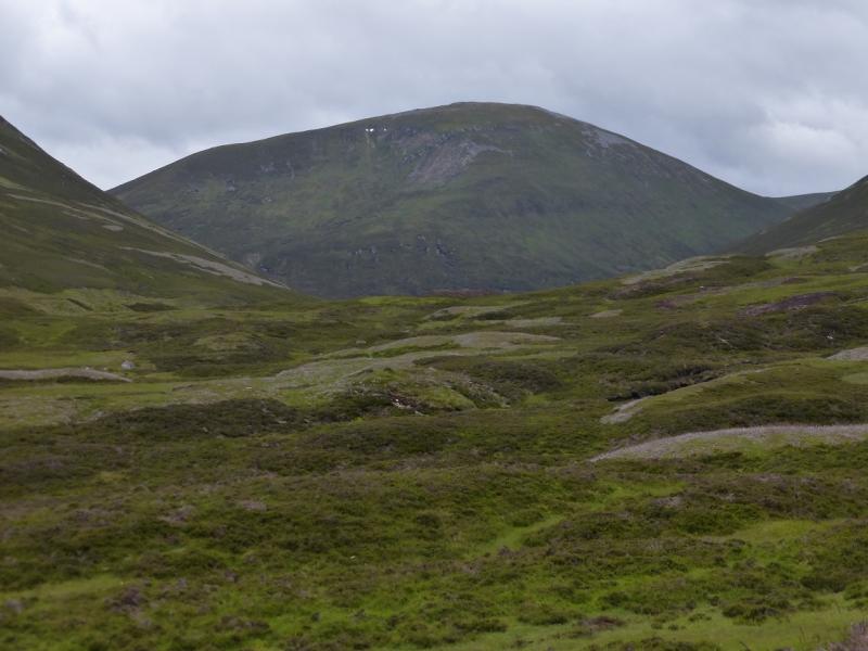
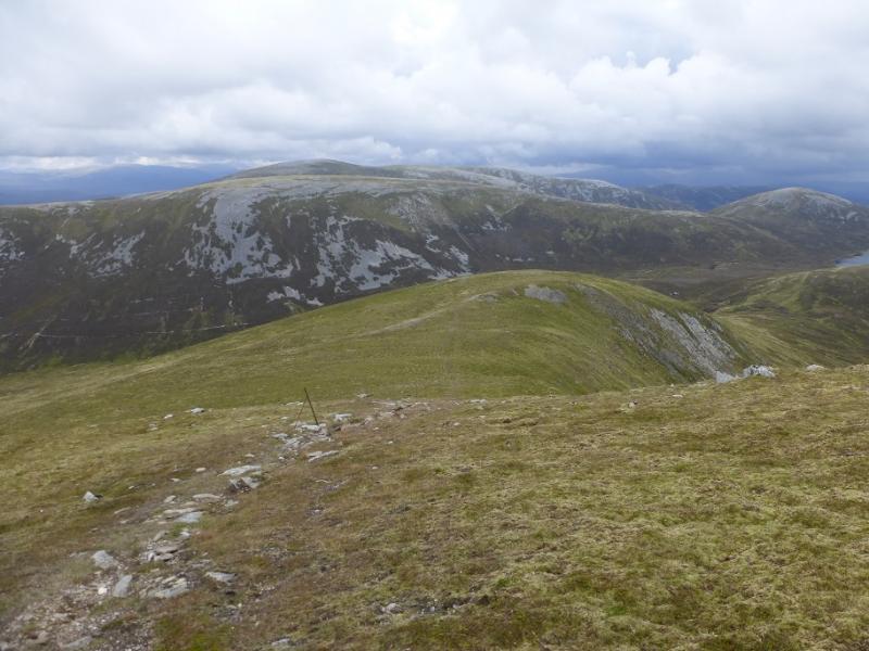
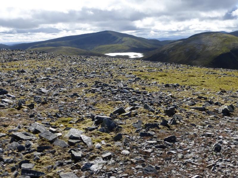
Beinn Iutharn Mhor & Carn Bhac Range from Inverey near Braemar
Beinn Iutharn Mhor & Carn Bhac Range from Inverey near Braemar
Start/Finish
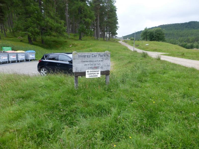
Free car park at Inverey which is about 4 miles west of Braemar on the minor road to Linn of Dee. It is rarely full.
Distance/Time
16 km bike + 18 km Walk. About 8 - 9 hours.
Peaks
Beinn Iutharn Bheag, 953 m, NO 065 791.
Mam nan Carn, 986 m, NO 049 779.
Beinn Iutharn Mhor, 1045 m, NO 045 792.
Carn Bhac SW Top, 920 m, NO 041 827.
Carn Bhac, 946 m, NO 051 832. OS sheet 43.
Introduction
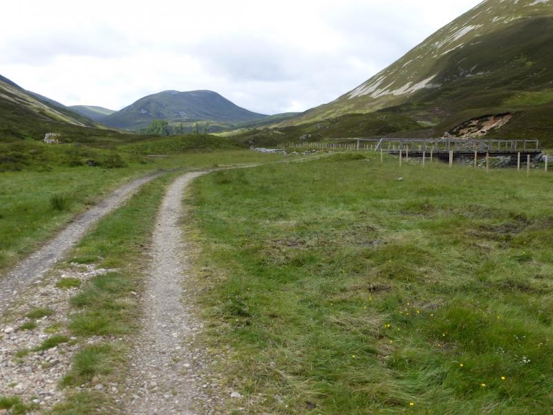
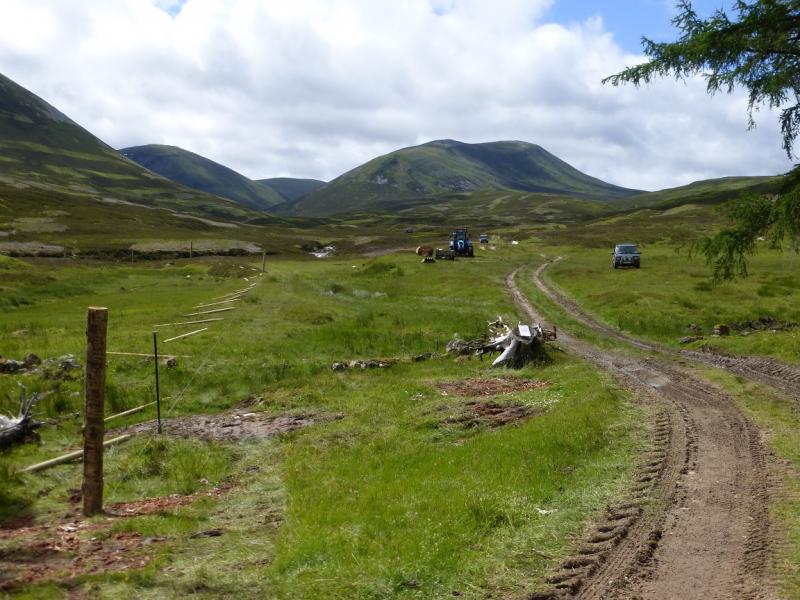
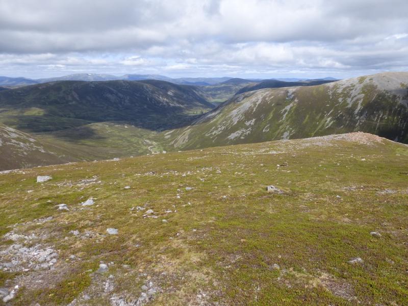
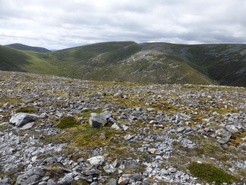
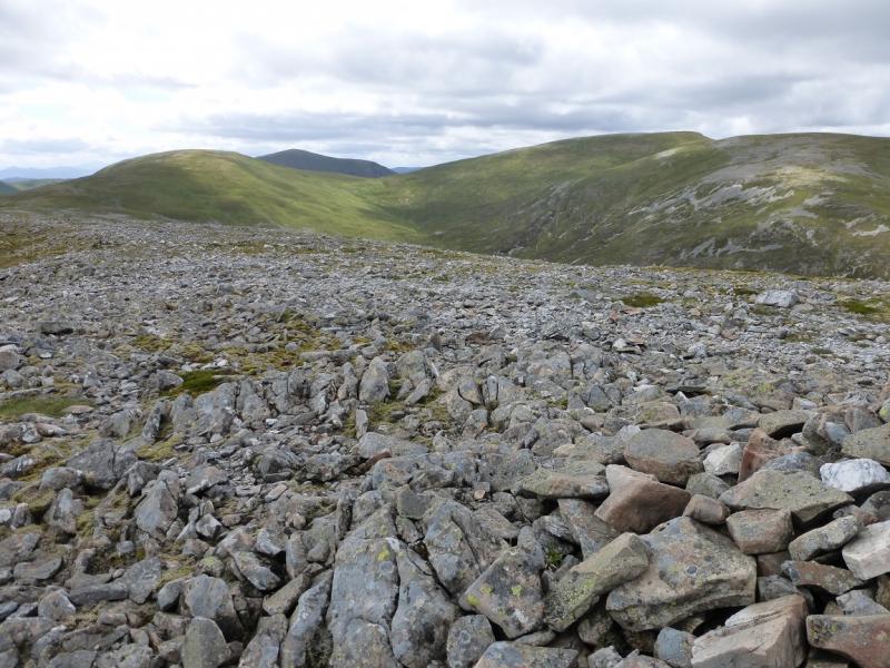
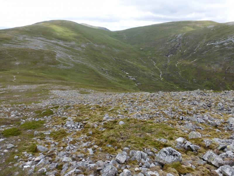
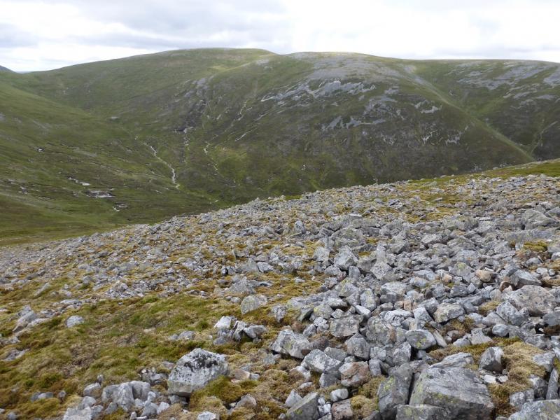
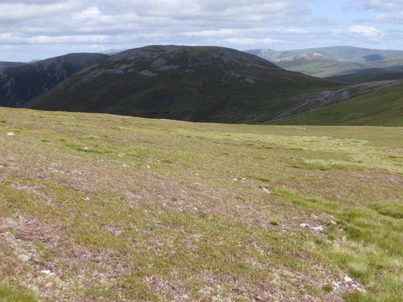
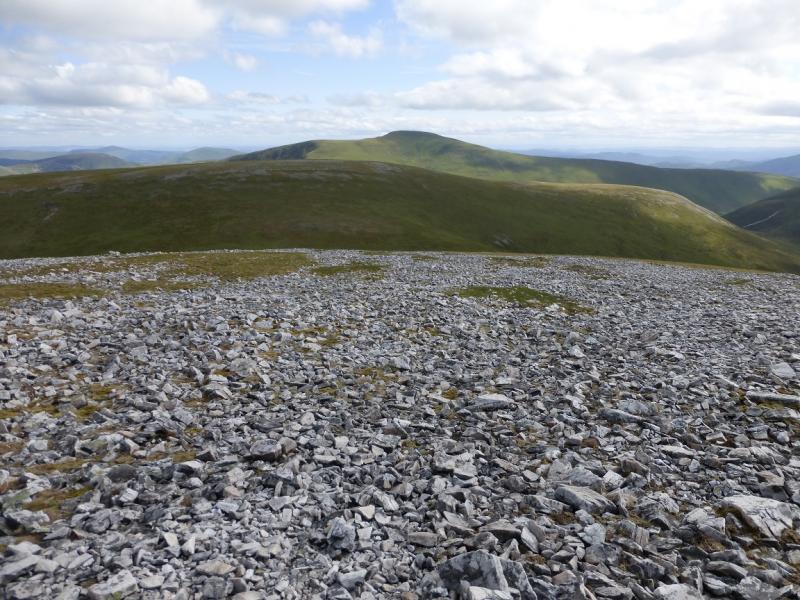
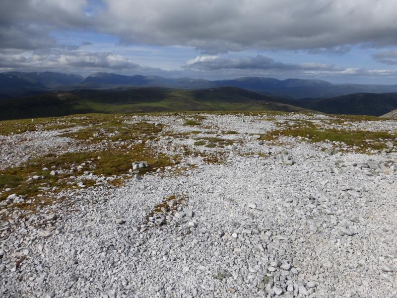
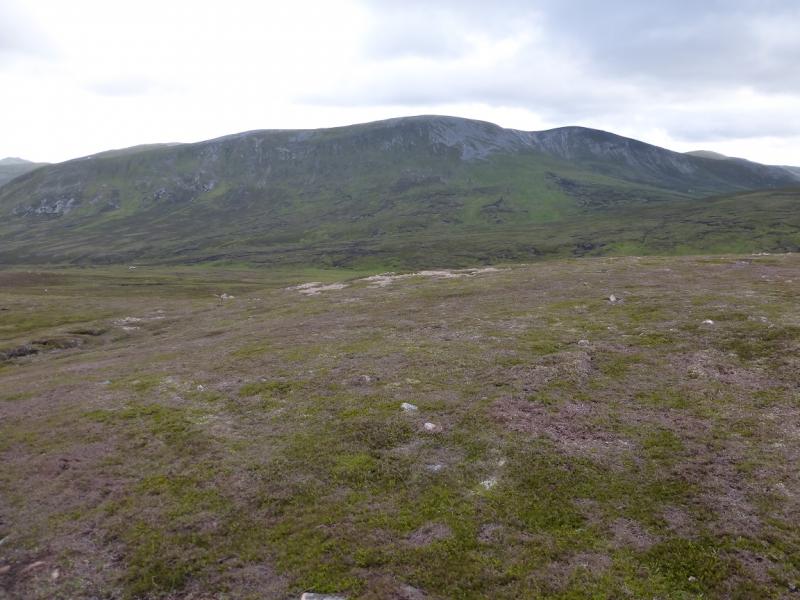
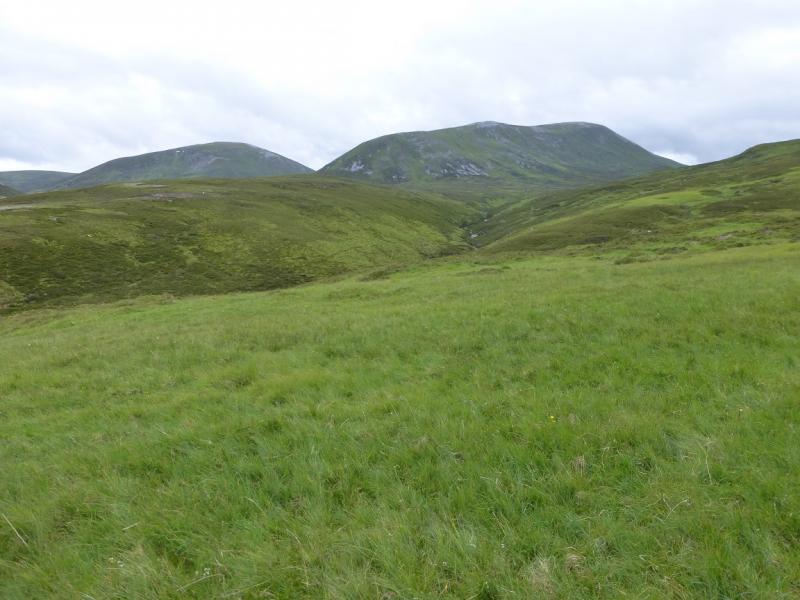
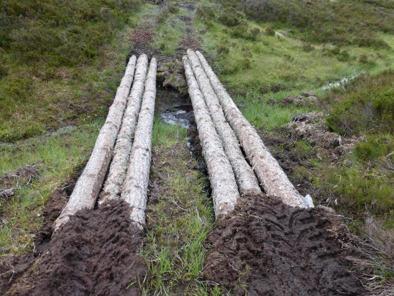
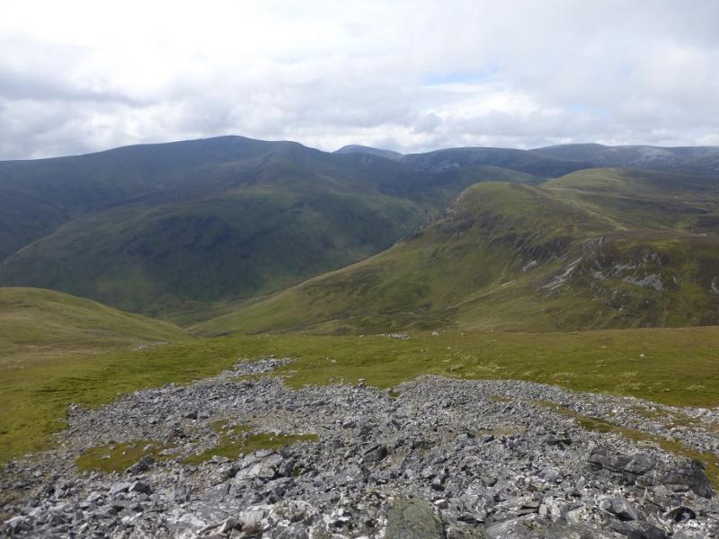
These hills lie just south of the Cairngorms but do not, for one moment, think that they offer an easy day. They are steep, rough, tough and often pathless once the access track has been left. Many of the Cairngorm Munro walks are much easier. Some tree planting is going on at Altanour (end of the Glen Ey track) and some heavy machinery (diggers, etc) has been brought in and this has had a negative impact on the quality of the track which is becoming increasingly damaged and muddy. From the moment you leave your car it is a long arduous slog to the summit of Beinn Bheag: an 8 km cycle ride almost all uphill, a few km through wet and boggy ground then a very steep ascent up the north ridge of the mountain. Once there, there are significant drops and larger re-ascents to both Mam nan Carn and Beinn Iutharn Mhor. About 300 m of height is lost when descending Beinn Iutharn Mhor, by a steep slope, with about 170 m to be regained to reach Carn Bhac SW Top as well as crossing a boggy and peaty area. In mist, navigation will be very testing. The steepness and length of some of the slopes will put them out of bounds to many in winter conditions. The summits are very exposed and there is little shelter from strong winds. On a clear day, there are good views to Carn Aosda, The Cairnwell, Carn a' Gheoidh, Glas Tulaichean, Carn an Righ, Ben Vuirich and Beinn a' Ghlo plus much of the Cairngorms.
Route
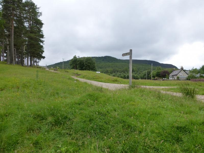
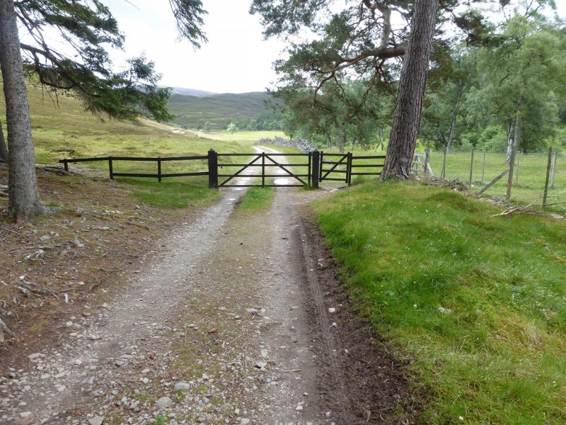
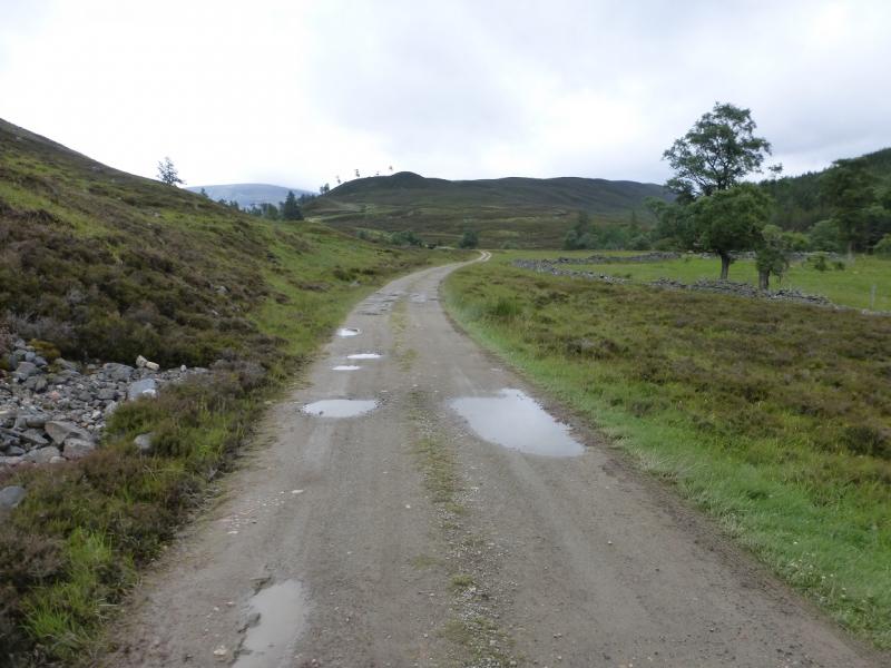
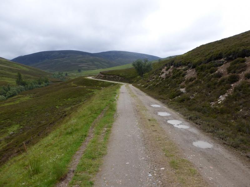
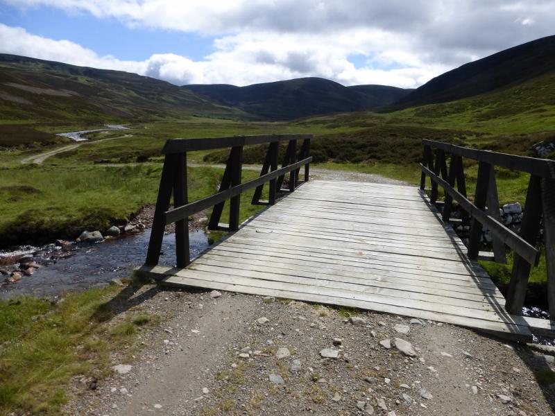
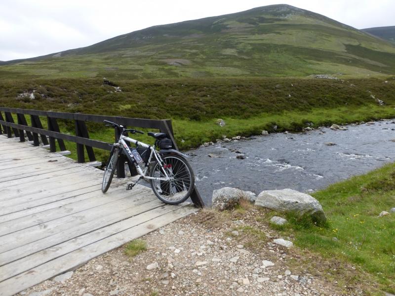
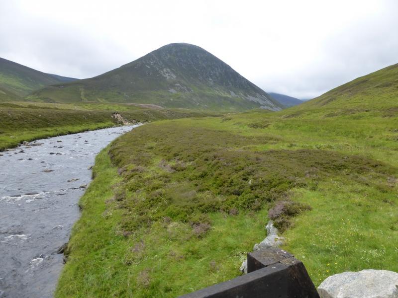
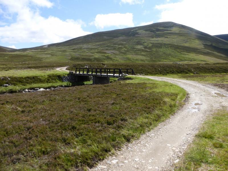
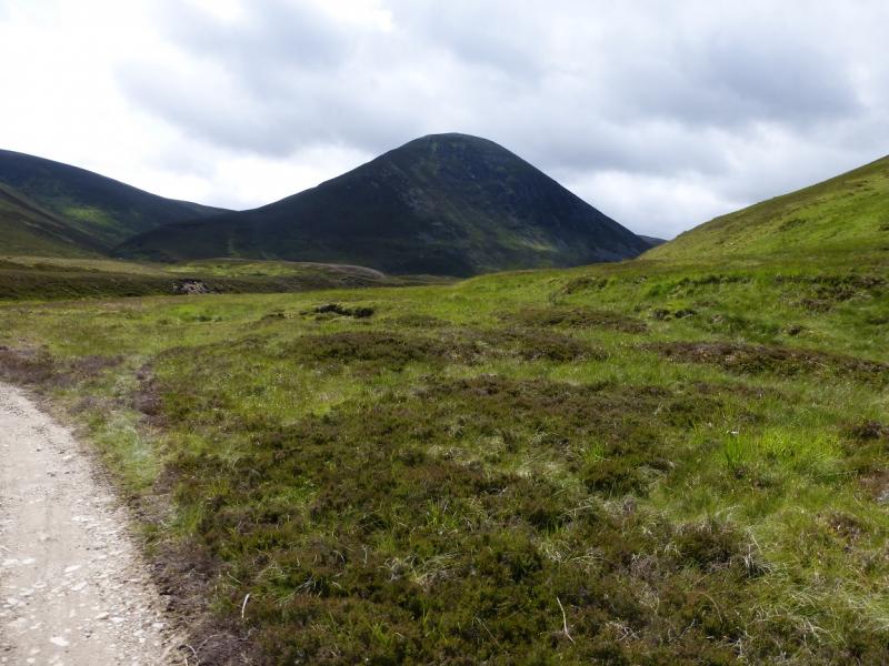
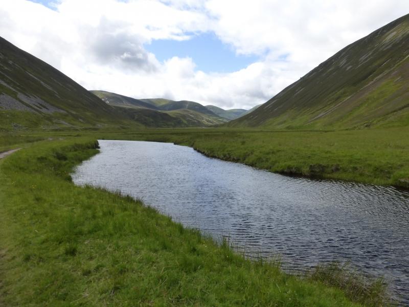
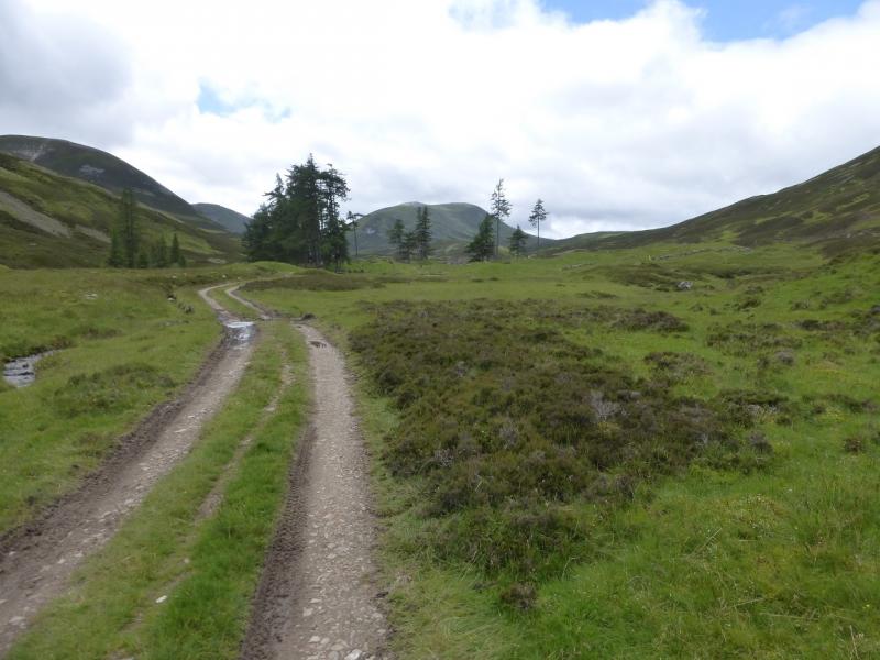
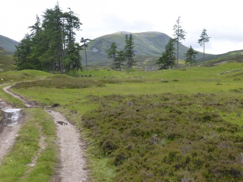
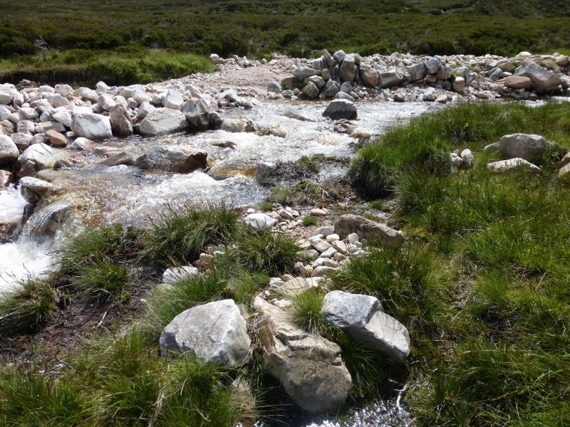
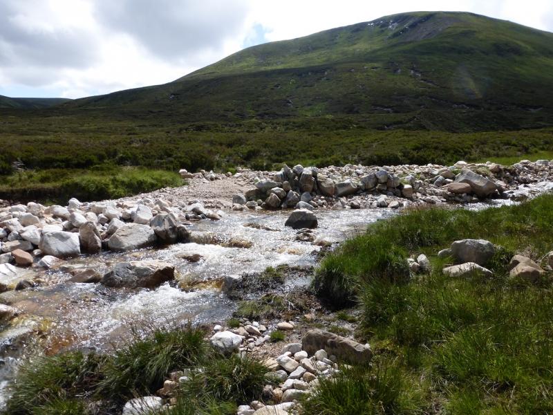
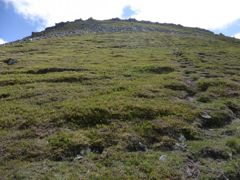
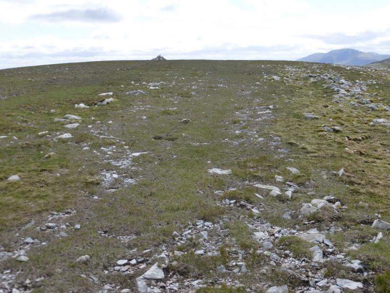
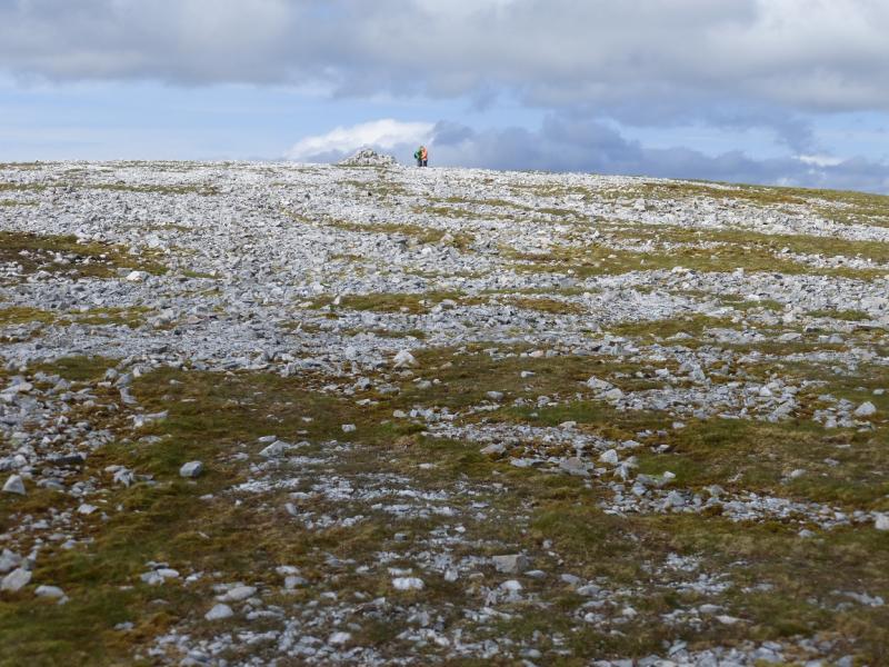
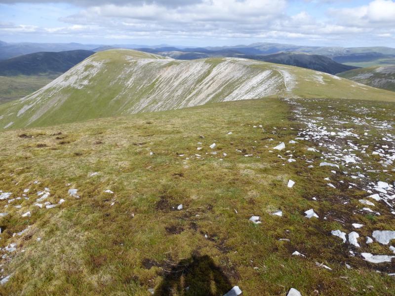
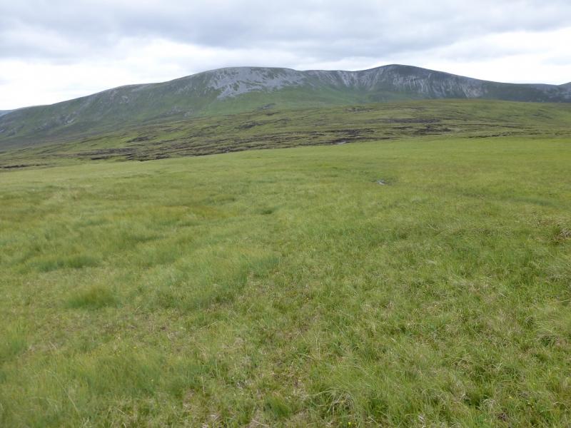
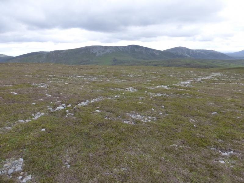
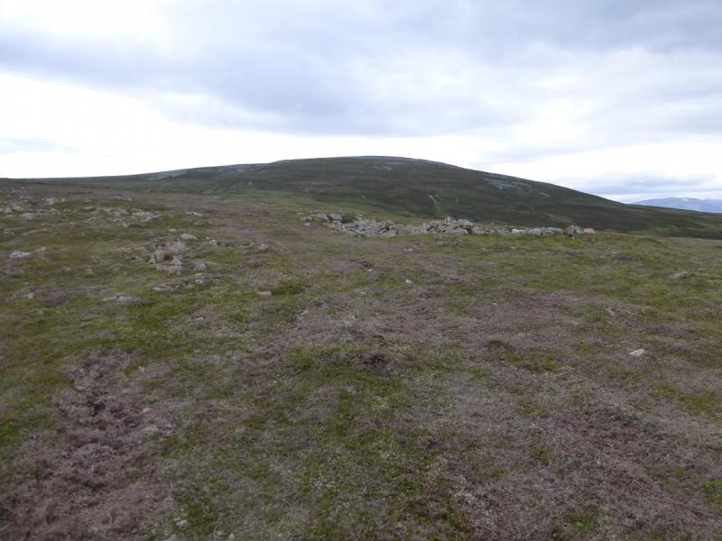
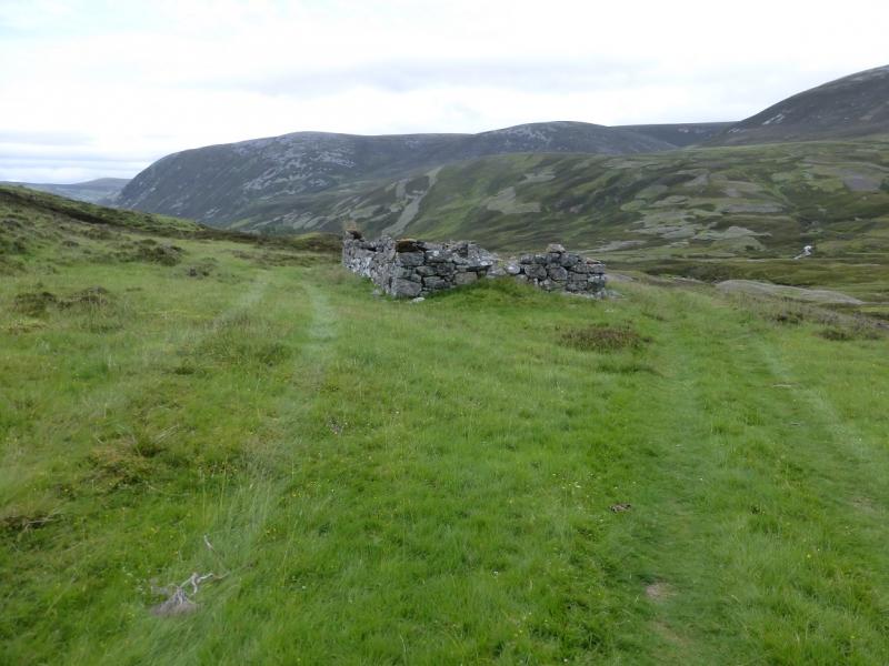
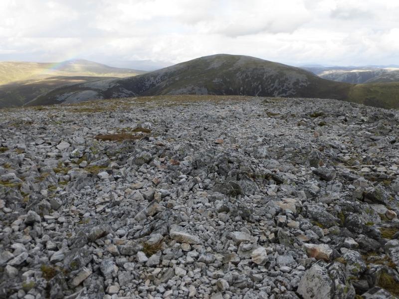
(1) Cycle up the Glen Ey track on the E of the river for about 8 km to reach the ruin at Altanour where the track ends. Leave bikes here. There is a path but it is hard to find amonst ATV tracks. Roughly follow the main river SW keeping on its NW side. The track out of Altanour can be followed initially but soon leave it when a fainter track forks left. There is a bridge, not far from Altanour, over a significant tributary coming down from Carn Bhac. The bridge will not be seen if you stray too far from the river as the undulating mounds will hide it from view. Once over the bridge, follow the path which shadows the river on its W side. Sometimes the path is by the river, sometimes it is up the undulating bank! It is not easy to follow. After a slow 2 km from Altanour, reach a confluence of the stream coming down from between Beinn Iutharn Mhor and Beinn Iutharn Bheag and the stream coming down from Between Beinn Iutharn Bheag and An Socach. This is at NO 070 802. Continue for a short distance up the former stream then cross over. There is no bridge but this is not usually a problem. Once over, a path is very difficult to find so try to pick the best way up the N ridge of Beinn Iutharn Bheag. It is wet, peaty, boggy and heathery but there are a few grassy channels. Soon the angle steepens so head up trying to follow the ill-defined ridge (more of a corner) with an open “corrie” to its left, E. The going is easier once the heather is left behind but no less steep. There is a path higher up which helps and this leads through a stony/rocky area before the angle eases but only slightly. Eventually, the angle does ease significantly and one can walk across stony ground to reach the large cairn which marks the summit of Beinn Iutharn Bheag, 953 m. Glas Tulaichean, to the SSW, dominates the view and one could be forgiven for thinking that it is the next top on the route but it isn't!
(2) From the summit, descend SSW/SW, down stony ground with not much in the way of a path near the summit, to reach a broad grassy bealach. Ascend the other side, initially SW, on a path which soon disappears, then WSW to reach a featureless stony plateau where a medium cairn marks the summit of Mam nan Carn, 986 m. Again Glas Tulaichean dominates the view.
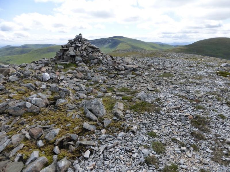
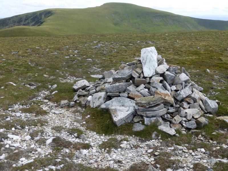
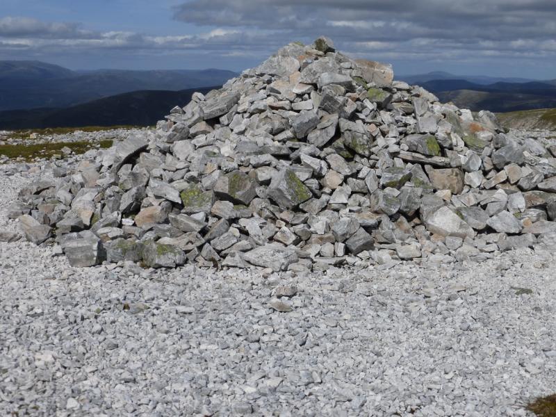
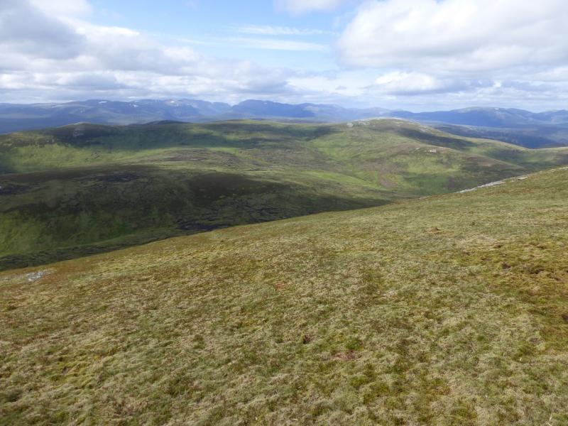
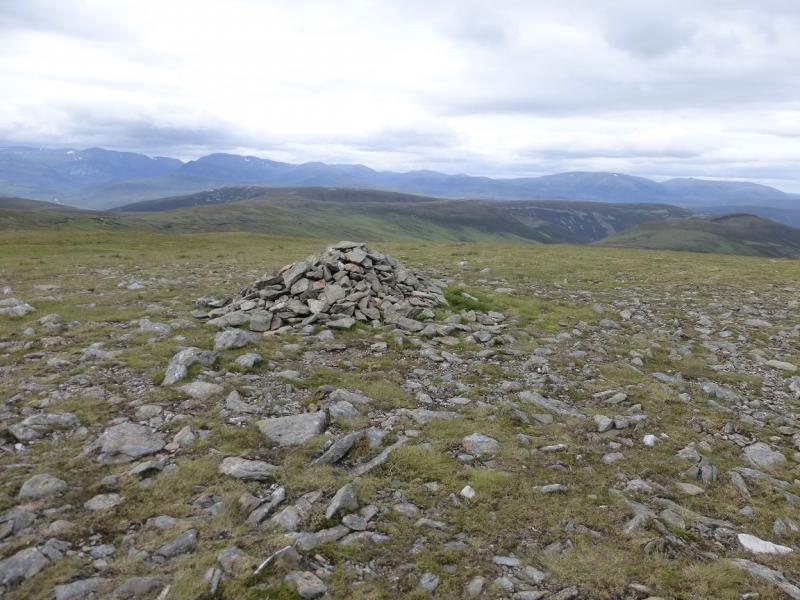
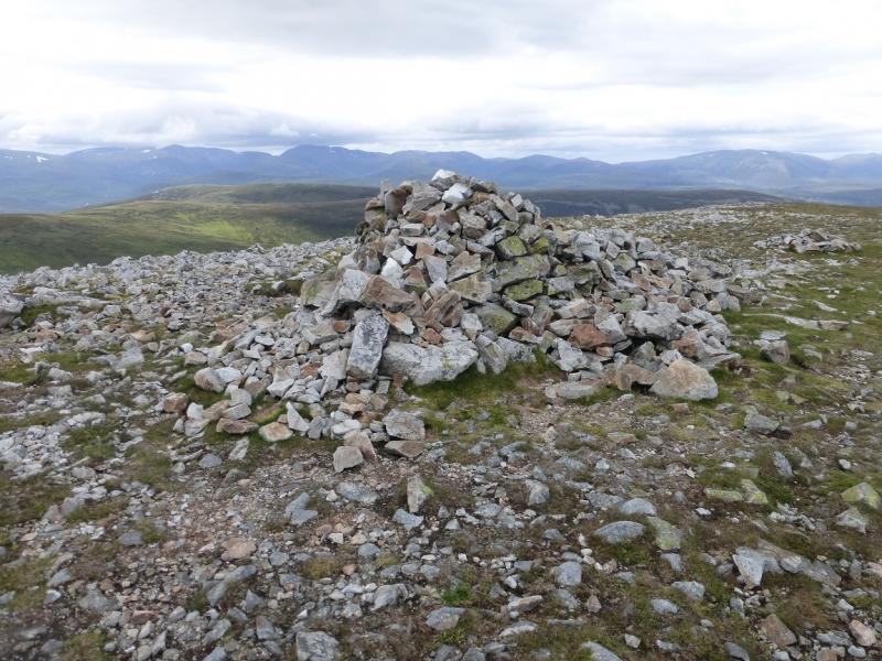
(3) Descend NNW down mainly grassy slopes with, again, little in the way of a path to reach a broad bealach where a good path ascends roughly N. This can disappear in some of the stony sections. Reach a broad crest running from S – N then a very large cairn which is the summit of Beinn Iutharn Mhor, 1045 m.
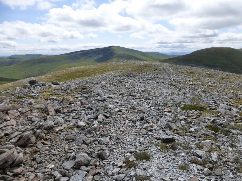
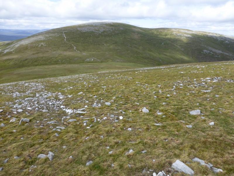
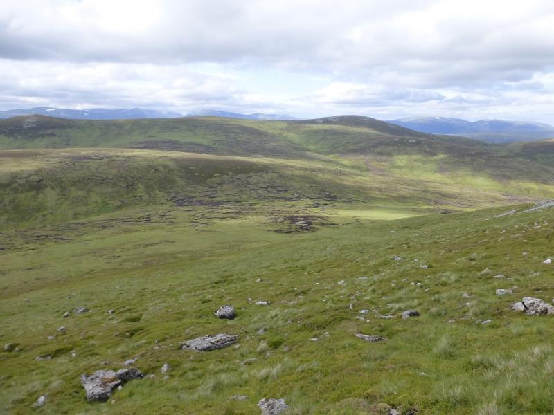
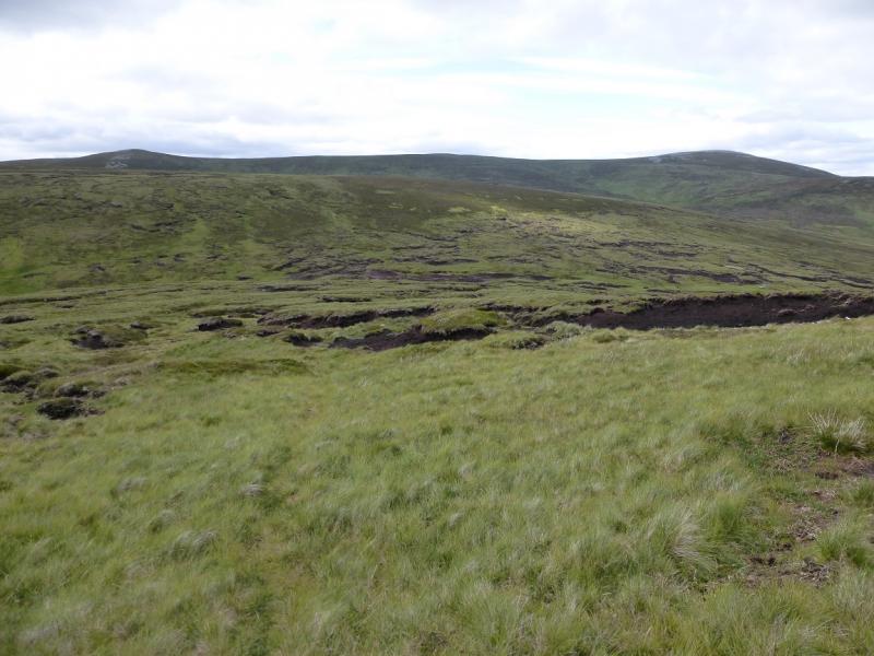
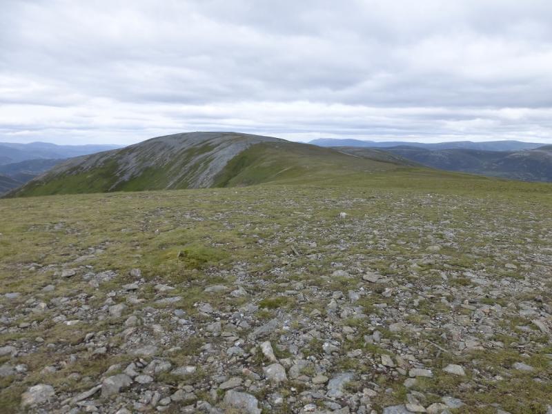
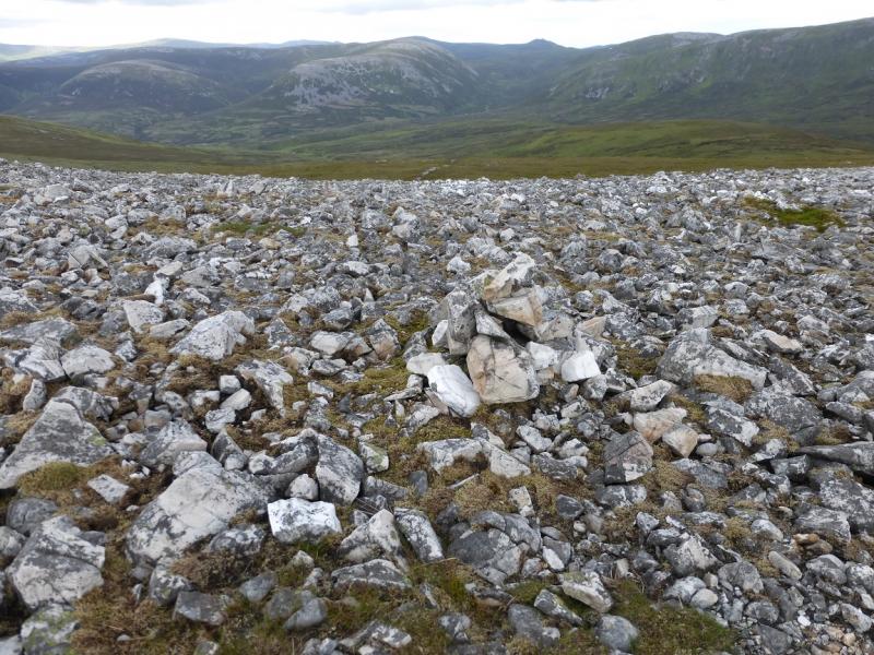
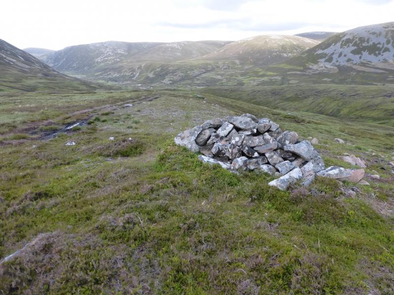
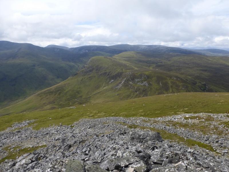
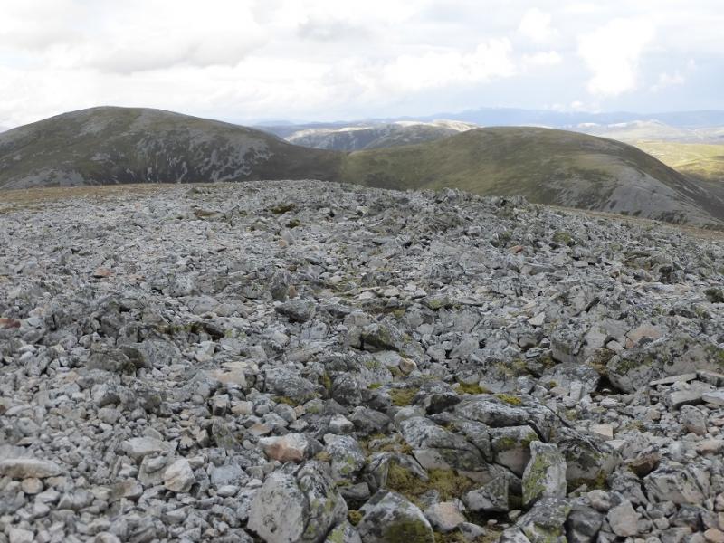
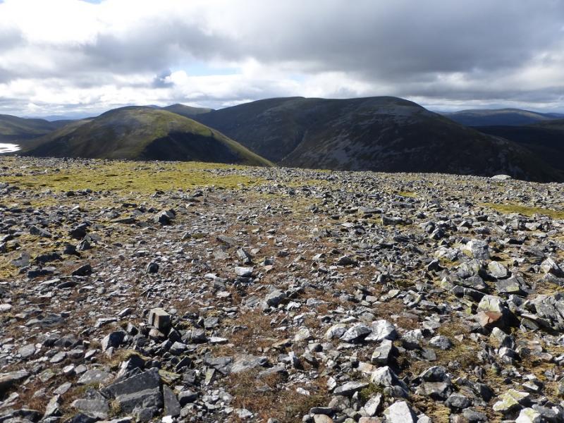
(4) The crest goes ENE then N and crosses a shallow dip. Leave the crest about here or go a little further then carefully pick a way down the steep W flank. Going too far along the crest will mean descending through lots of steep scree. Lower down, it becomes more grassy but becomes increasingly wet, peaty and boggy. Cross a bealach below Top 818 which can be circumvented by going around to its right, E, then regaining the “ridge”. The going is not too bad but there are only hints of a path. Soon some peat hags have to be negotiated with lots of little detours but try to stay with the line of the ridge which leads up on to a ridge running SW to NE. Carn a' Bhutha is the prominent top at the SW end and Carn Bhac at the NE end with the “centre” looking as if there is no top but the centre is where you need to head as the next summit is set well back so once the approach crest has led you on to the crest, go NE/NNE up gentle slopes which lead to the medium cairn of Carn Bhac SW Top, 920 m.
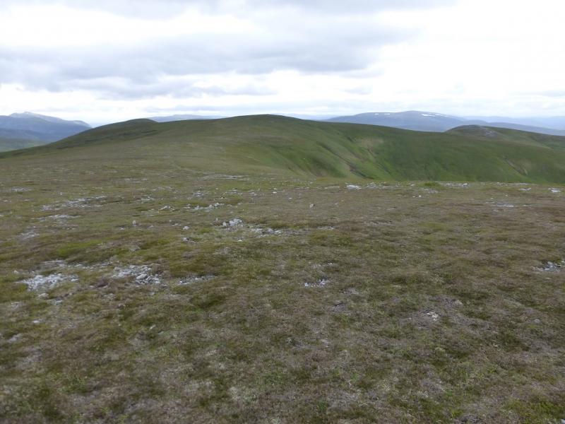
(5) Go slightly N of E, with little descent, then follow the crest up NE, with some path, to reach the large cairn of Carn Bhac, 946 m.
(6) The way back to Altanour goes down the SE ridge of Carn Bhac. There is a cairn on the edge of the summit plateau which marks the start of a short stony section after which a path takes over. The path follows the ridge line, with one small ascent. Further down it joins an ATV track which can be boggy in places but leads back to Altanour. Lower down there is a stream crossing, after which the track climbs but a path avoids the climb and rejoins the track soon after. From Altanour the track can be freewheeled for much of the way back to Inverey.
Notes
(a) This walk took place on 21st July, 2015, and about 10 and 25 years earlier years earlier. The former was effectively the same route but in reverse. The latter was entirely on foot and took the track W of the river to Carn Liath then S along the undulating ridge to Geal Charn before going to Carn Bhac SW Top then Carn Bhac then back to the SW Top and on to Beinn Iutharn Mhor, Mam nan Carn and Beinn Iutharn Bheag before descending its steep N ridge then picking up the track at Altanour. Memories are sketchy so this route will not be listed separately. Seem to remember managing to squeeze An Socach and its top in on the return and made it to the track just before it went dark as it was late October!!!
Photos - Hover over photo for caption. Click on to enlarge. Click on again to reduce.