Get Lost Mountaineering
You are here: England » Lake District » 3 Central Fells
Langdale Pikes via Jack's Rake: Pavey Ark, Thunacar Knott, Harrison Stickle, Pike o' Stickle & Loft Crag from New Dungeon Ghyll Hotel
Langdale Pikes via Jack's Rake: Pavey Ark, Thunacar Knott, Harrison Stickle, Pike o' Stickle & Loft Crag from New Dungeon Ghyll Hotel
Start/Finish
National Park car park (Pay and Display) in Great Langdale, roughly opposite the New Dungeon Ghyll Hotel. This is about 2 miles beyond Chapel stile. The car park can fill up quickly at peak times of the year. In 2015, it was £8 per day to park here. About 200 m further, on the opposite side of the road in a small conifer wood, is a National Trust car park which is free to National Trust members but £6.50 to non-members. On 2/9/15, the New Dungeon Ghyll Hotel had opened a field (on the road) for parking at £5 per day.
Distance/Time
8 km About 5 - 6 hours
Peaks
Pavey Ark, 700 m, NY 285 079.
Thunacar Knott, 723 m, NY 279 080.
Harrison Stickle, 736 m, NY 282 074.
Pike o' (of) Stickle, 709 m, NY 274 073.
Loft Crag, 680 m, NY 277 071. OS 90 Penrith & Keswick. OL6 South Western Lakes.
Introduction
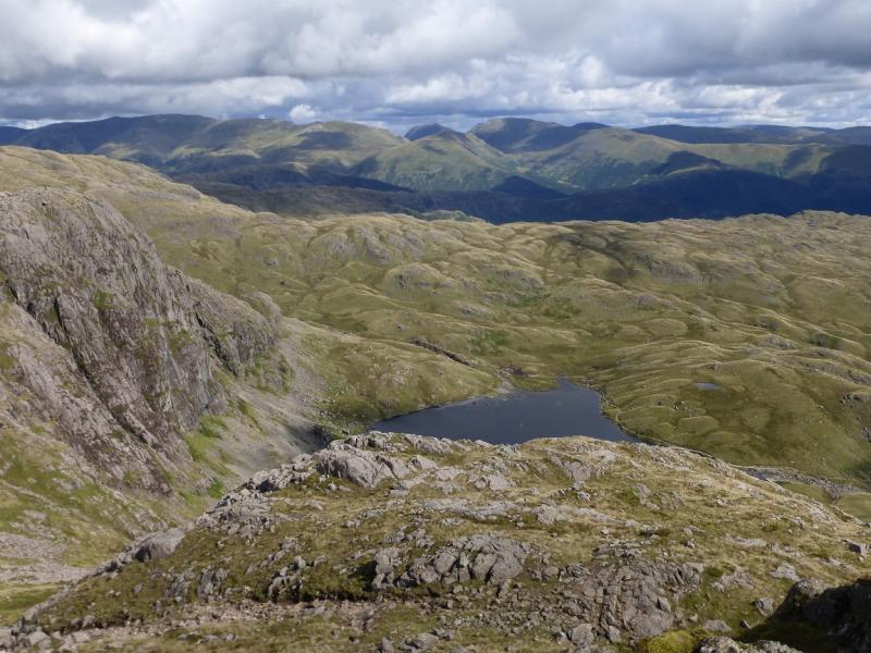
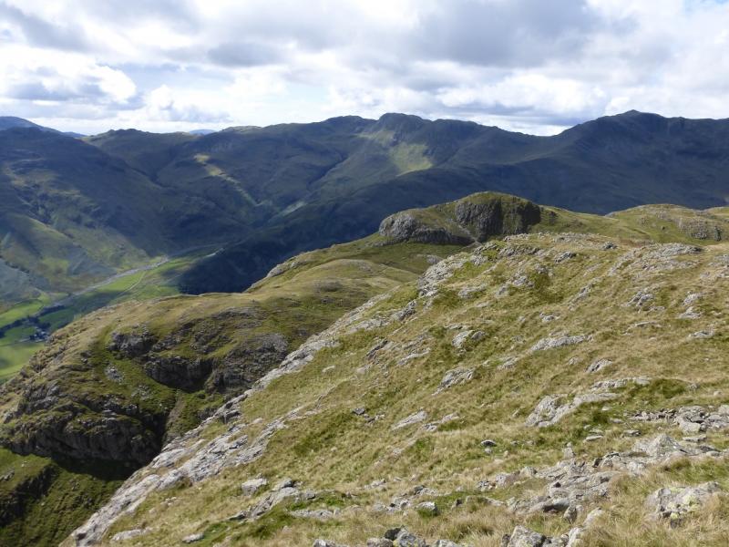
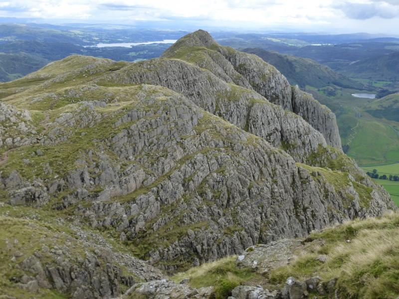
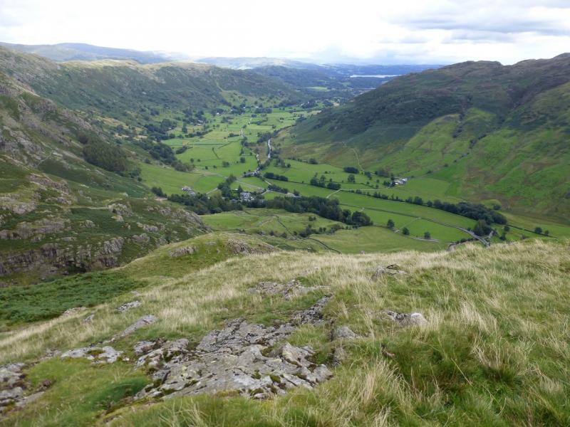
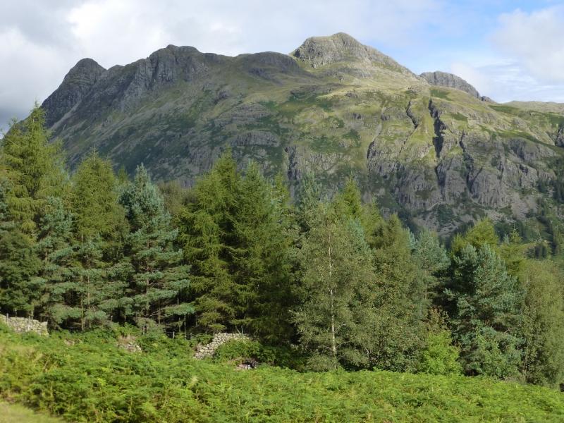
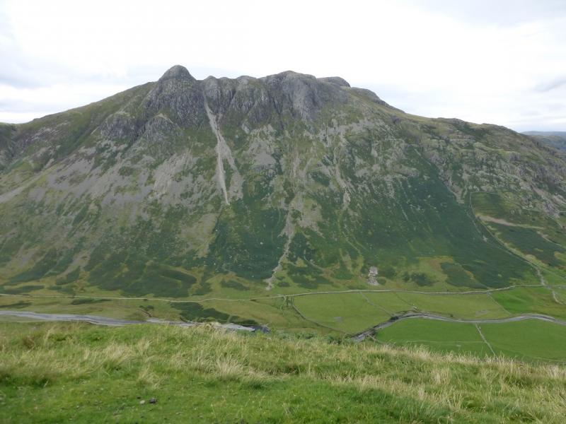
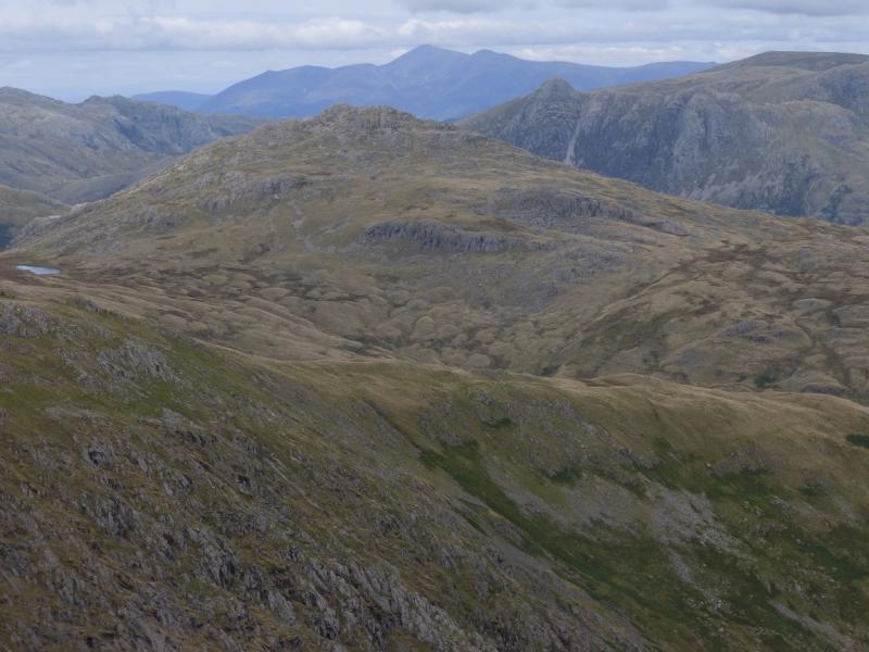
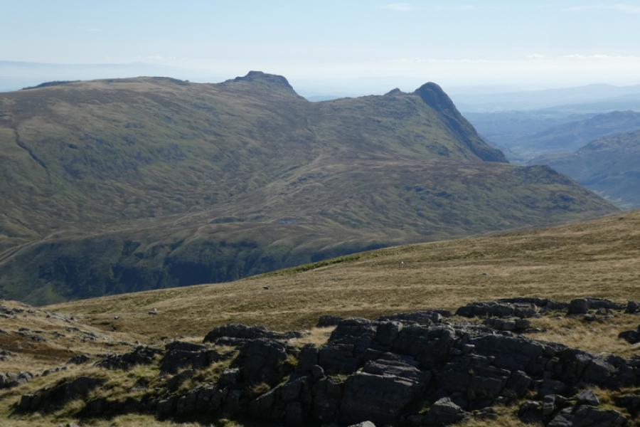
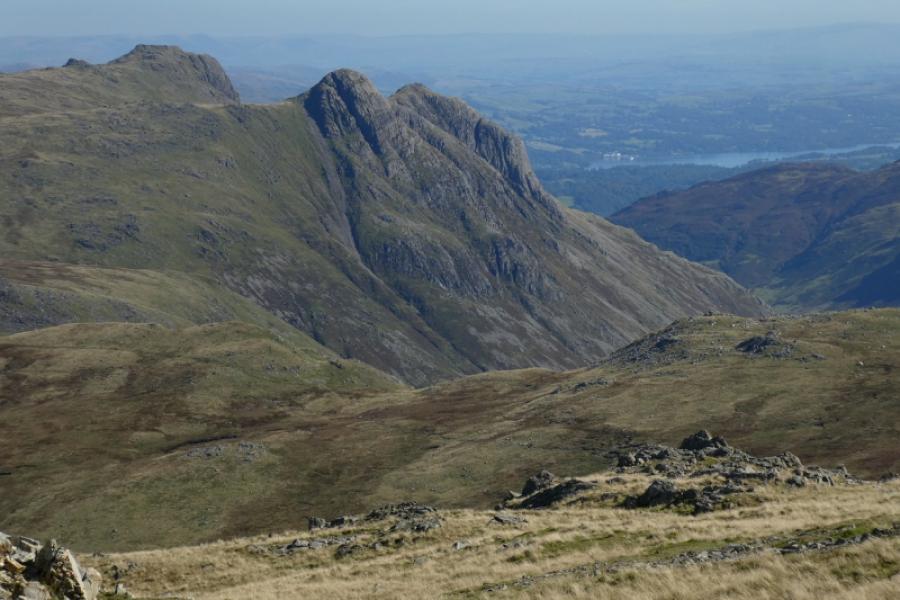
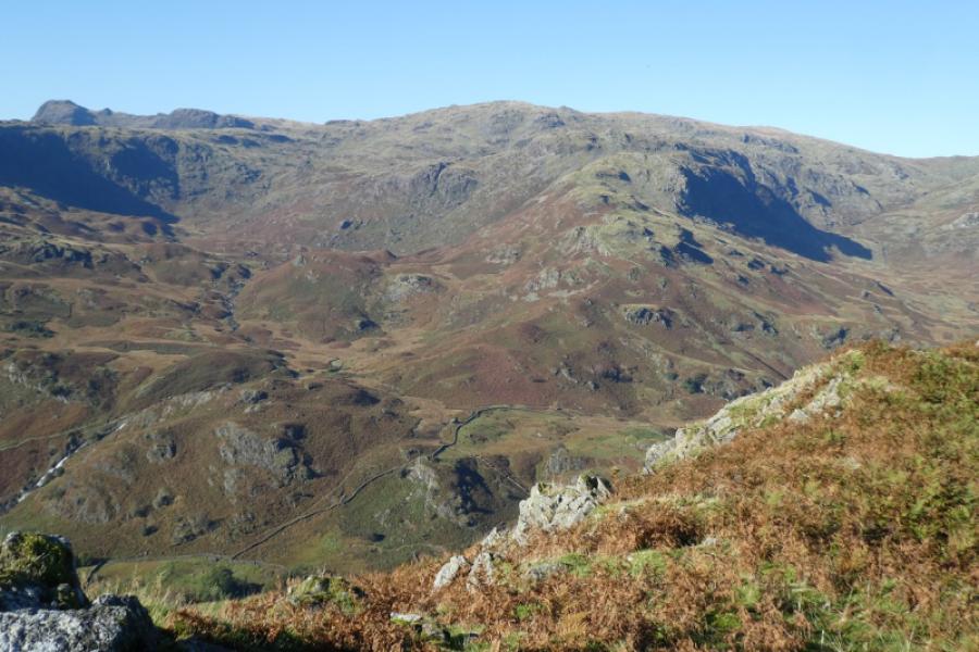
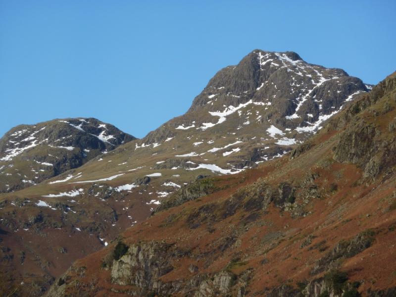
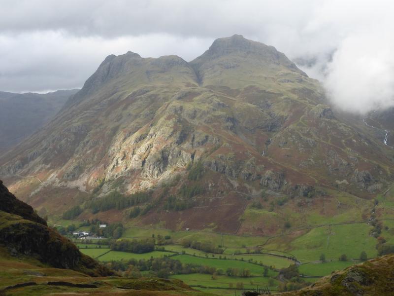
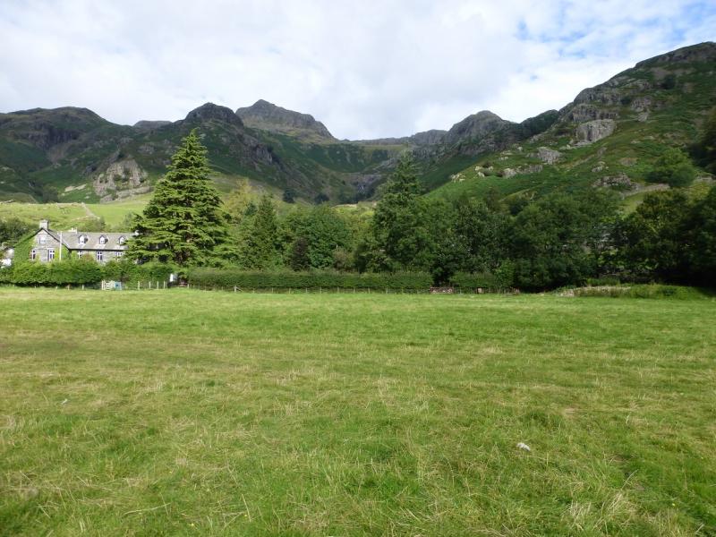
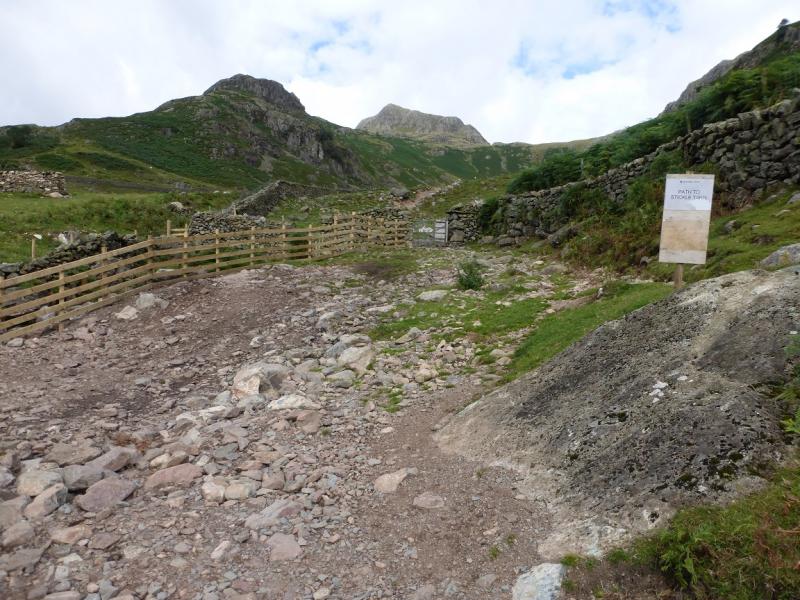
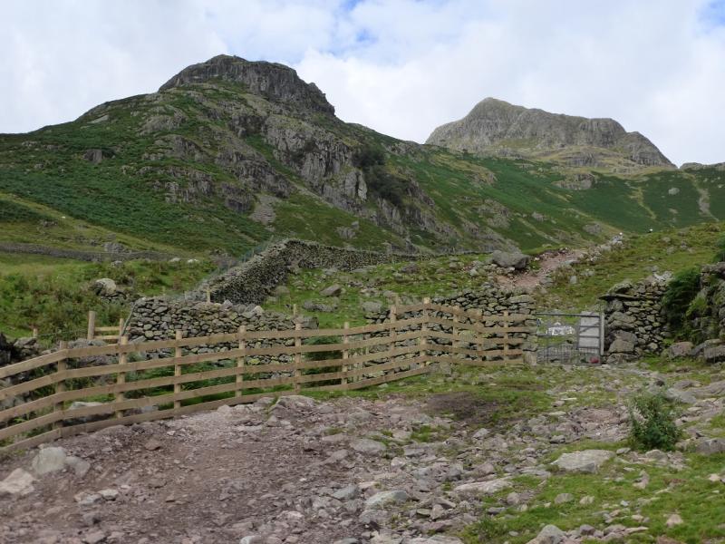
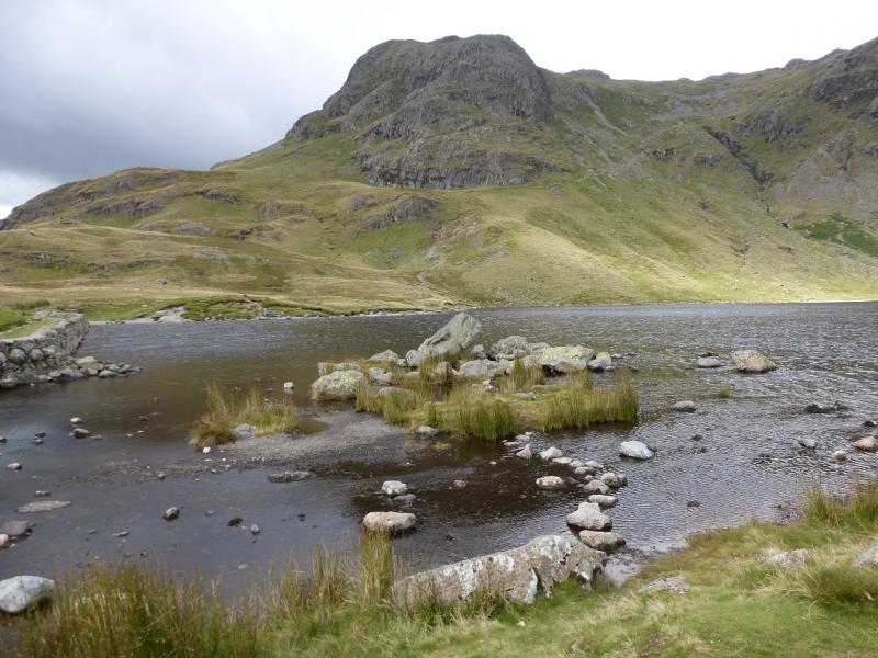
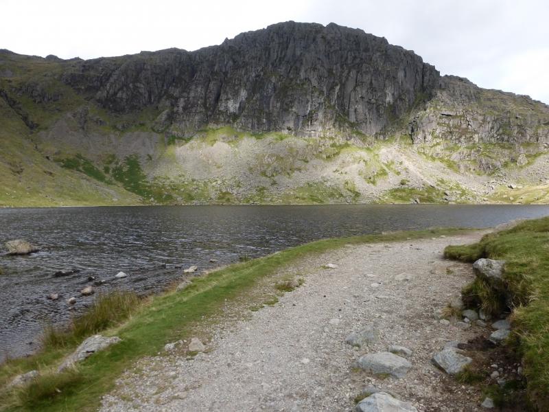
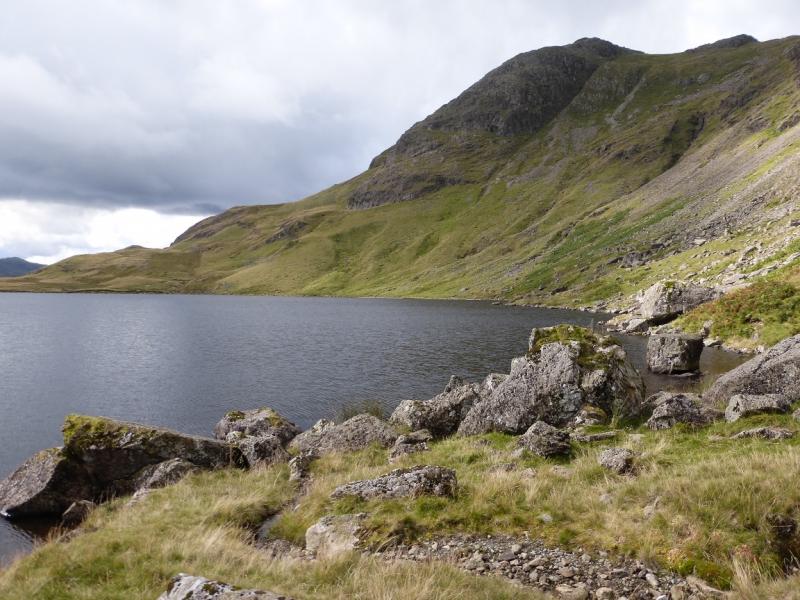
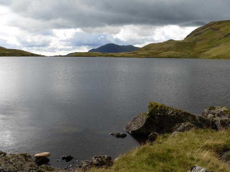
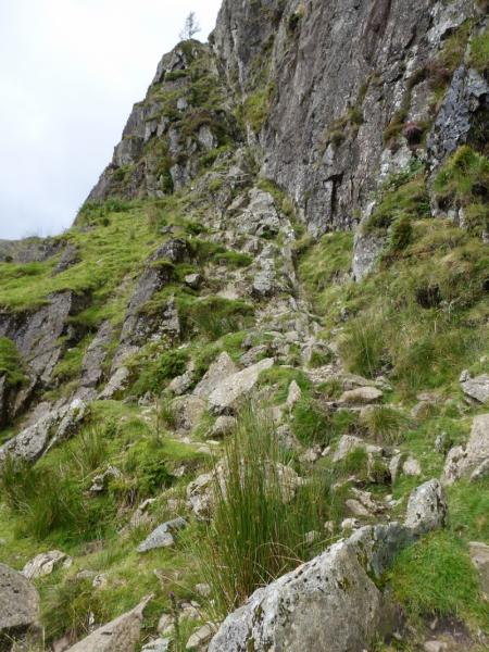
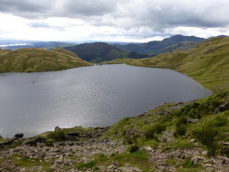
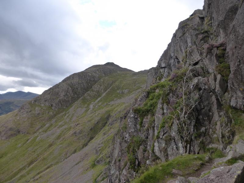
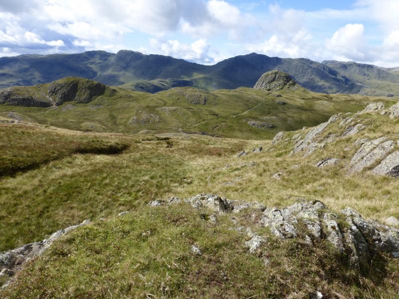
The Langdale Pikes is one of the most well known groups of mountains in the Lake District. They are well seen from many places but two worth noting are the Lowwood Hotel on the Ambleside to Windermere road and from Blea Tarn on the minor road to the west of Lingmoor Fell. Despite the short distance of this walk, the paths are quite steep but most have been improved. In descent, they can be sore on the knees. The route goes up Jack's Rake on Pavey Ark. This is mainly a rocky groove but it is steep and in places exposed. A fall would almost certainly be fatal. A large rock flake has now fallen into the top part of the groove which is awkward to pass. The rake can be slippery after rain. The rake is well seen from across Stickle Tarn. To avoid the rake, take the path, boggy in places, to the east of Stickle Tarn until the rocky part of Pavey Ark is passed to reach an easy path up on to the N ridge of Pavey Ark. The Langdale Pikes are superb viewpoints. On a clear day, Pike of Blisco, Crinkle Crags, Bow Fell, Esk Pike, High Raise, Sergeant Man and Lingmoor Fell are all well seen. Further afield, the Coniston Fells, Great End, Great Gable, the Helvellyn range and Skiddaw can also be seen.
Route
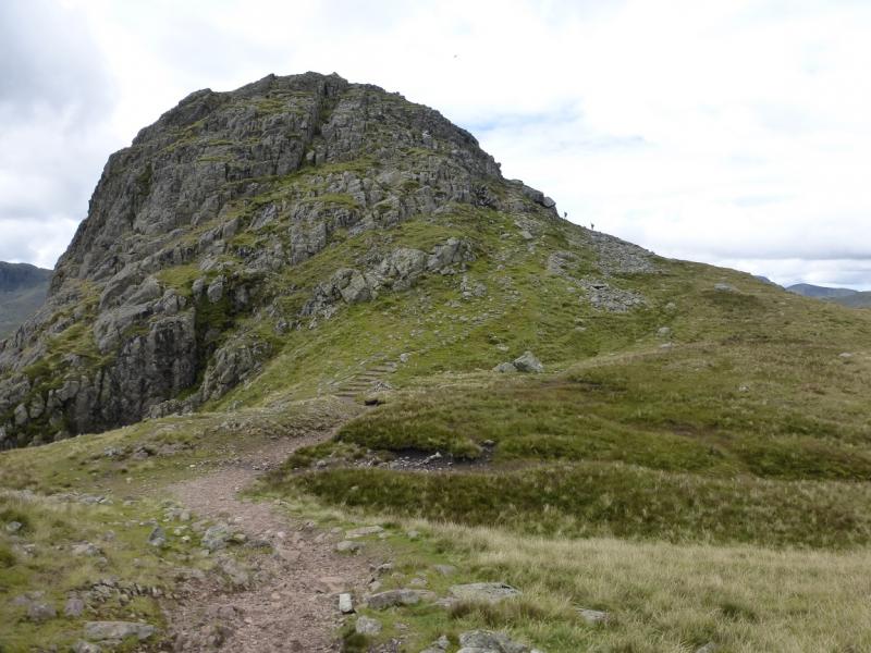
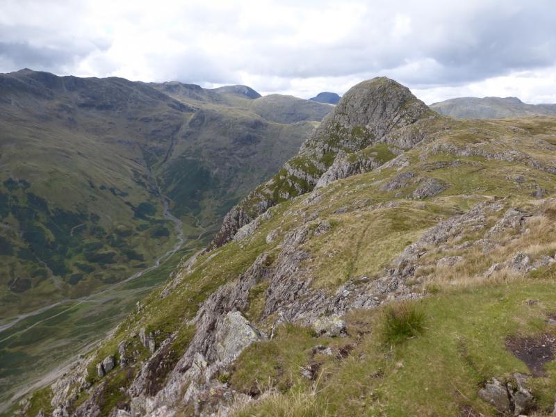
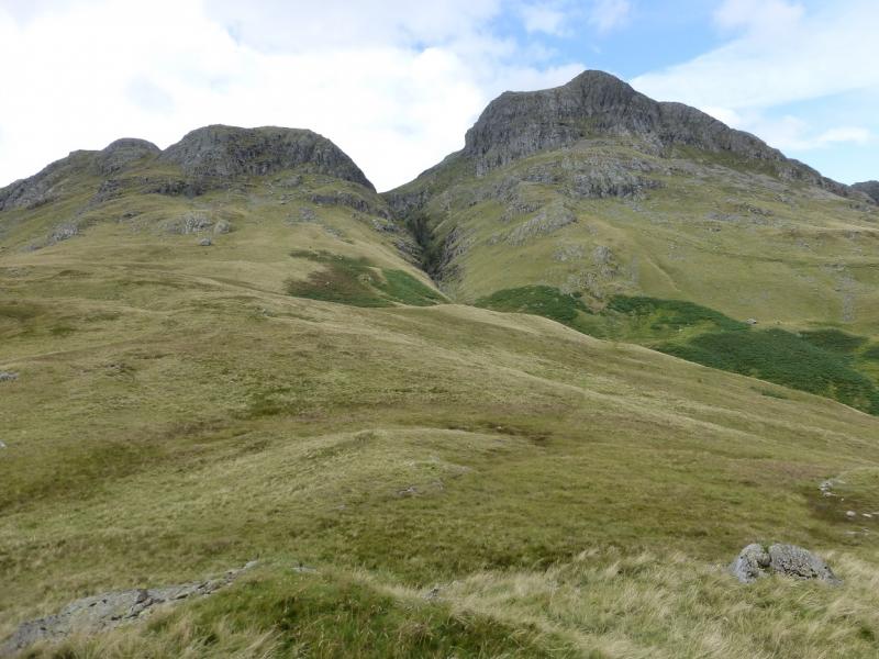
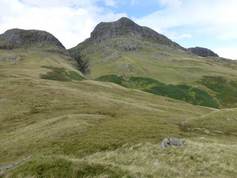
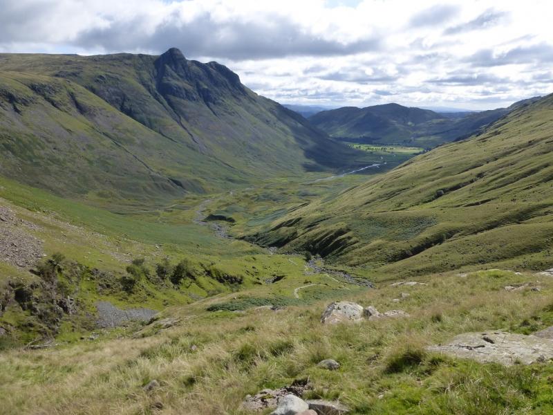
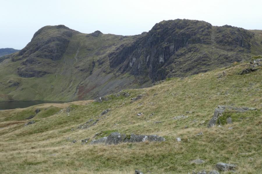
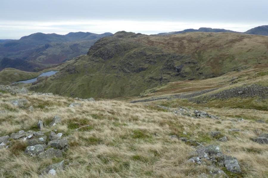
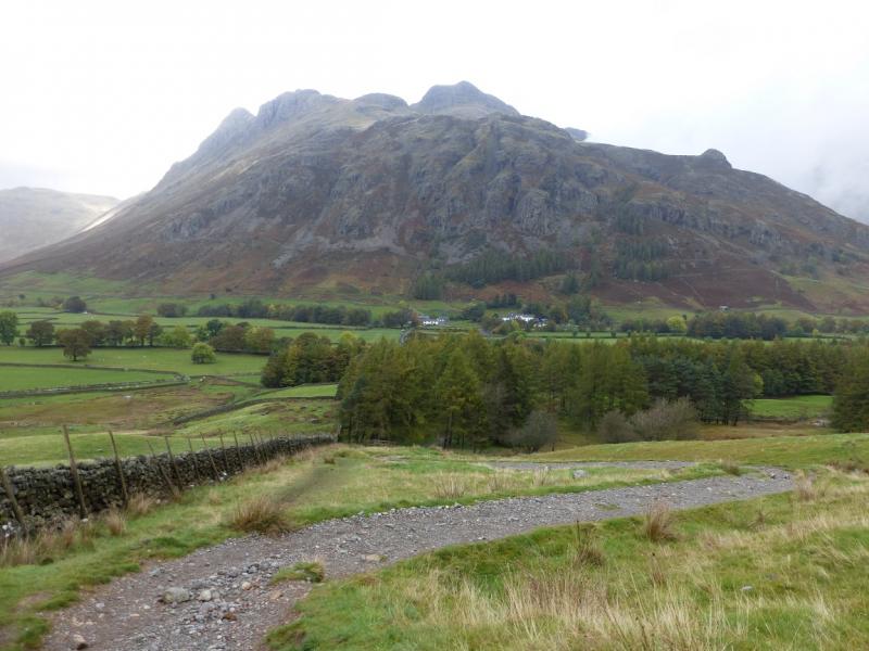
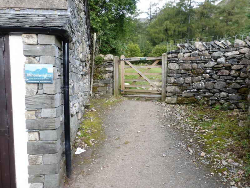
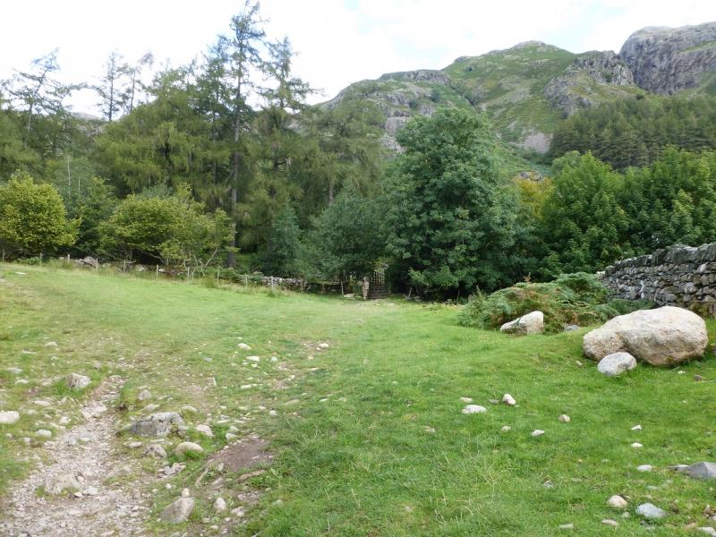
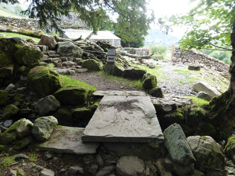
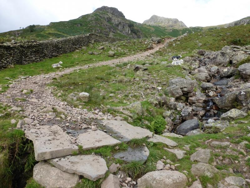
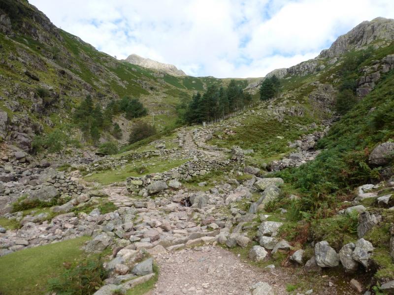
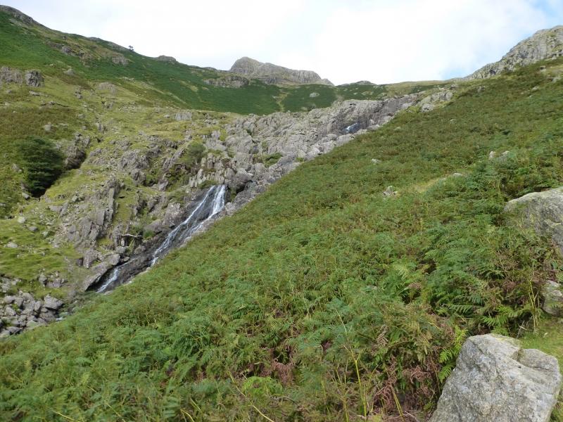
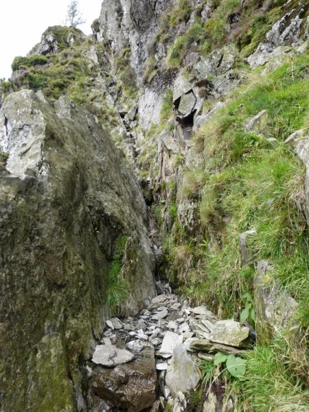
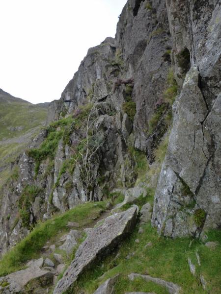
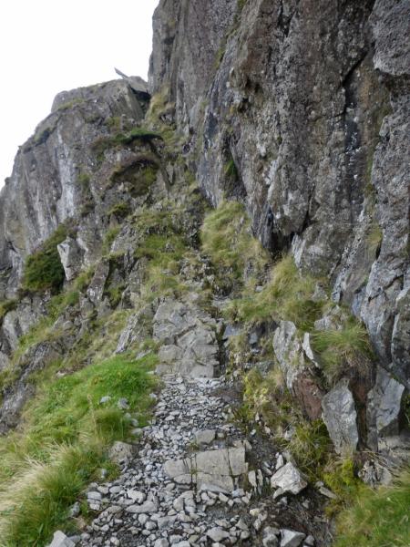
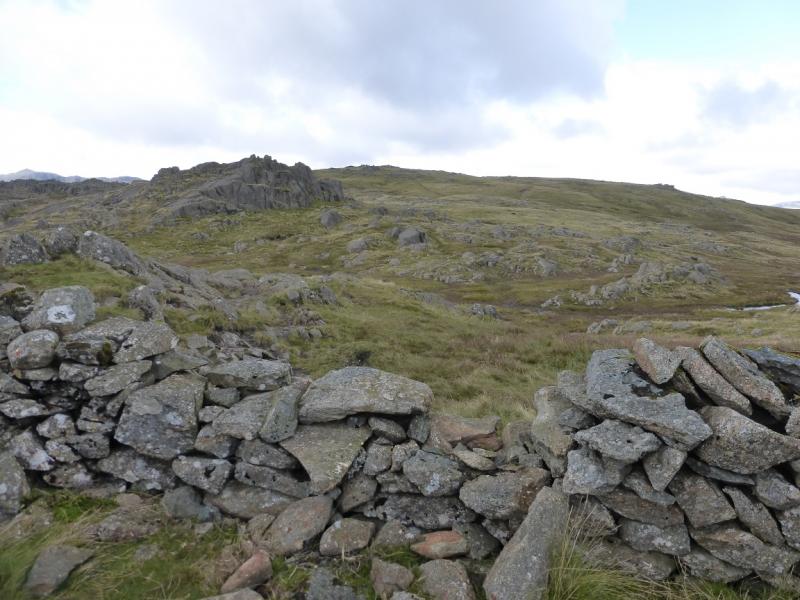
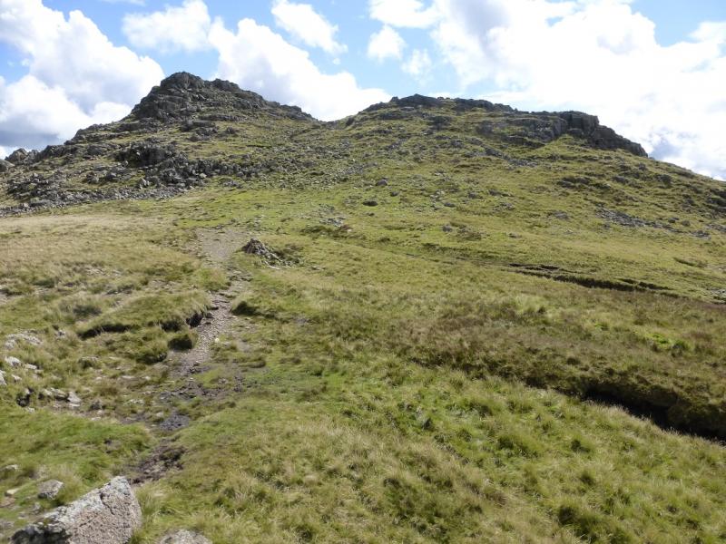
(1) From the New Dungeon Ghyll Hotel, continue ahead, passing to the right of Wheelwrights Cottage which is where the path starts. Unfortunately, there are no signs to help. Follow the path until it reaches the broad path going up the E side of Stickle Ghyll. Higher up, the path crosses the ghyll on huge stepping stones and continues towards the dam at the S end of Stickle Tarn. Cross back over the ghyll as soon as possible as it may be too difficult near the dam and continue up the path to reach Stickle Tarn. Pavey Ark is obvious across the tarn and a path will be seen going up which soon splits with the left fork being Jack's rake. Walk around the E and N side of the tarn which can be boggy. A loose and rough path leads up from the NW corner of the tarn to the start of Jack's rake which is the left fork higher up. Carefully, pick a way up the rocky groove. It is mainly up with very few brief descents between sections. In places, the groove is very narrow and it may be necessary to climb out on to the left rib which is quite exposed in places. The awkward rock flake higher up has to be passed on its left so be extra careful. There are very good holds all the way up the rake so do look around and make sure you find them. Almost at the top, the route starts to curve around and moves away from the cliff on easy angled rock. Soon reach a stone wall and follow this up before going right, on a path, to a rocky top which is Pavey Ark, 700 m. Surprisingly, on 1/9/15, there was no cairn.
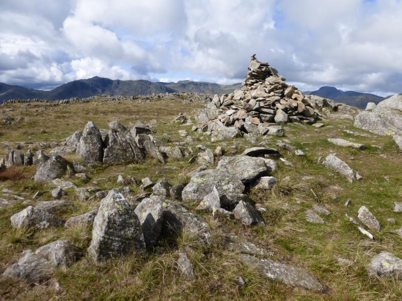
(2) Retrace to the wall, then head WNW. Initially, the ground is boggy so some detours may be needed. Once past the wet ground, look for a path which soon leads to the distinctive narrow cairn on Thunacar Knott, 723 m.
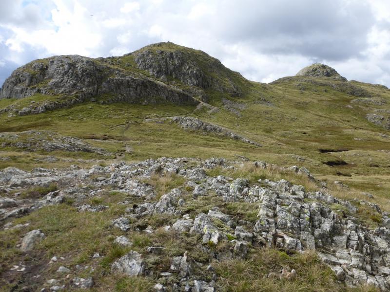
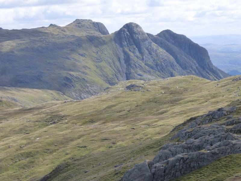
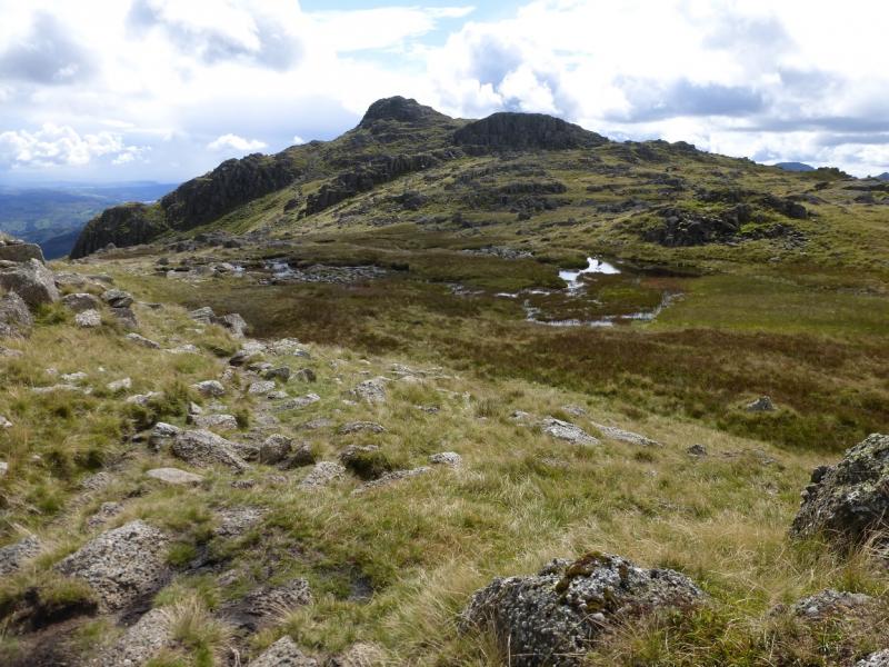
(3) Descend roughly N, on a reasonable path then ascend up. The path joins the crest past the summit so one would have to walk back a short distance along the crest to reach the small cairn (there are others around) which is the summit of Harrison Stickle, 736 m. It is possible to leave the path and ascend directly up to the summit by the N ridge.
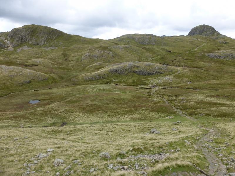
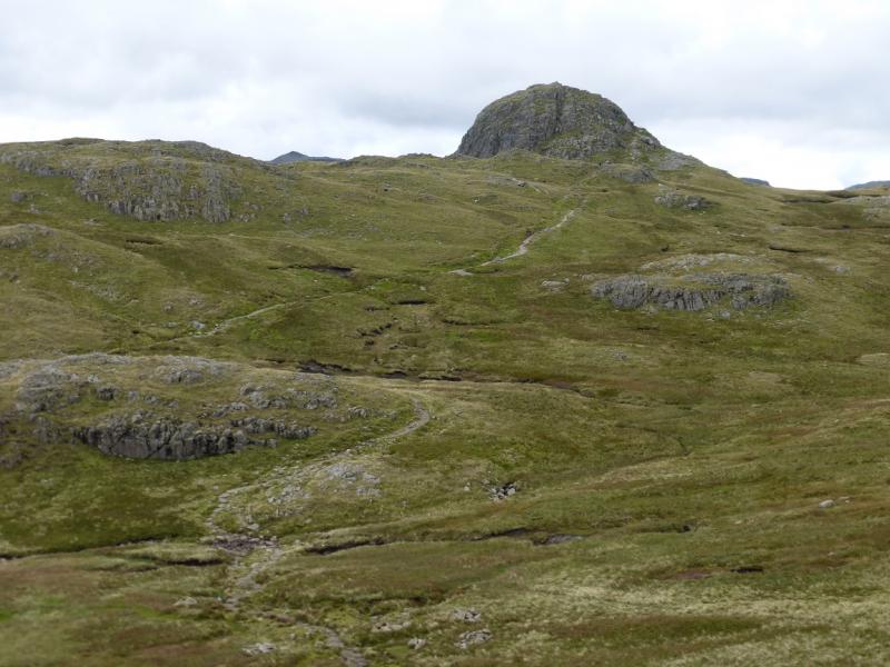
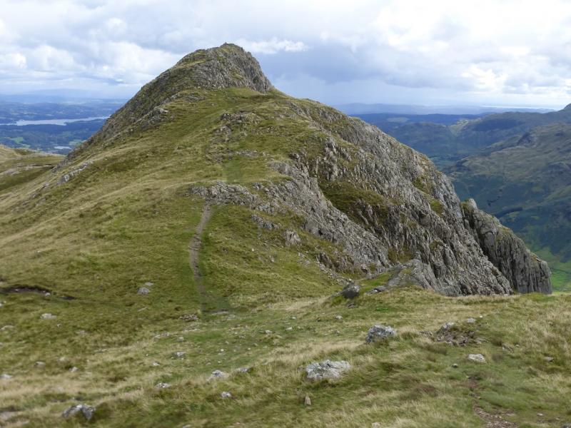
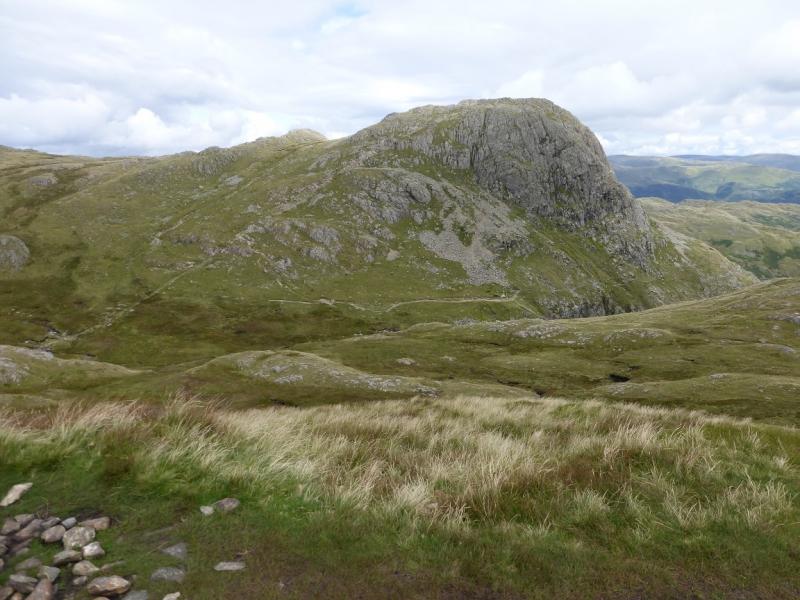
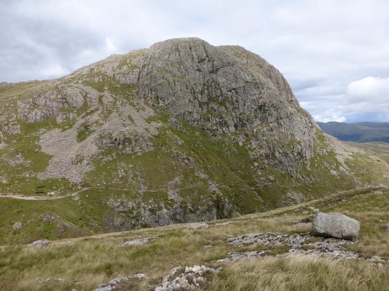
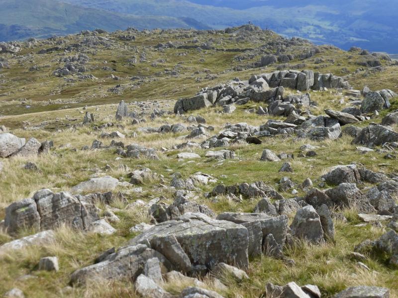
(4)Descend, on a reasonable but rocky path, heading roughly W. Lower down, the path splits. The left fork is rocky and needs care; the right fork is more straighforward. Both lead into the broad hollow between Harrison Stickle and Pike of Stickle. Follow the obvious path up crossing the top of a steep gully just before the final climb. Beyond here, there is a choice of paths and there is optional scrambling if one wishes. Soone reach the medium cairn which is the summit of Pike o' (of) Stickle, 709 m.
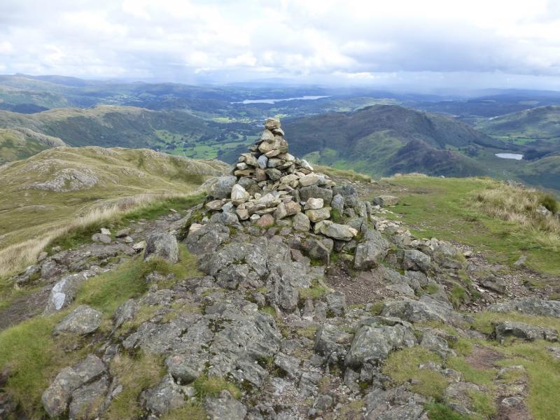
(5) Retrace back to the top of the gully then follow the path along the crest which soon leads up to the medium cairn which is the summit of Loft Crag, 680 m.
(6) Follow the obvious path along the crest which descends left just before a minor cairned top. Reach a path by a large cairn. Go right and follow the path down. It is quite steep and stony and may be sore on the knees. Just before the buildings at New Dungeon Ghyll, the path splits. Take the right fork which comes out at the National Trust car park. An alternative descent is to stay on the crest past the large cairn and reach another top. Descending from here can be tricky but possible on ill-defined grassy and rocky ledges to reach the path which is down to the right.
Notes
(a) This walk took place on 2nd September, 2015, and many times previously.
Photos - Hover over photo for caption. Click on to enlarge. Click on again to reduce.
 across Stickle Tarn.JPG)
 from Stickle Tarn.JPG)


 from Harrison Stickle.JPG)