Get Lost Mountaineering
You are here: Scotland » 03 North-west Argyll, Appin and Glencoe » Ballachulish & Connel to Loch Etive
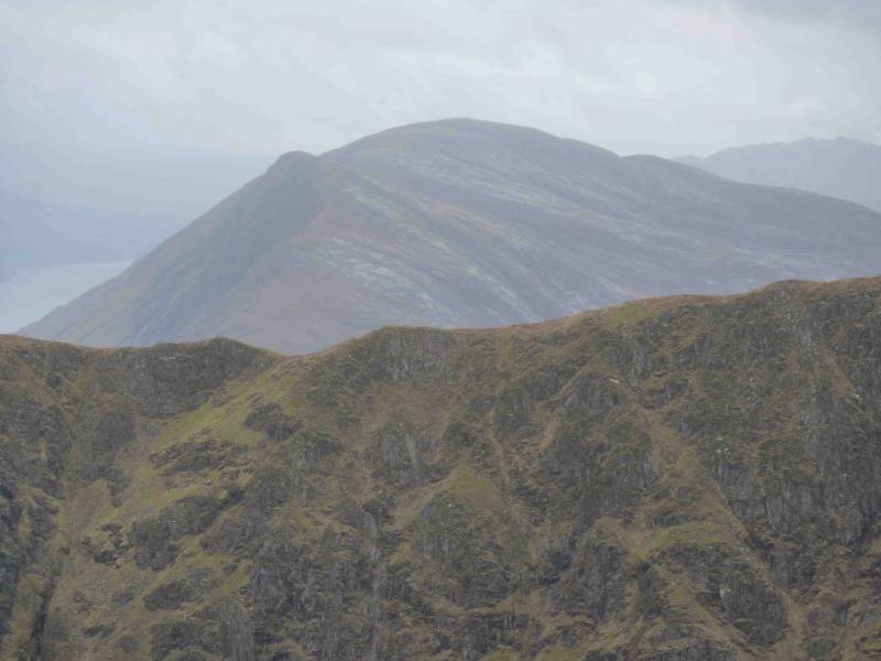
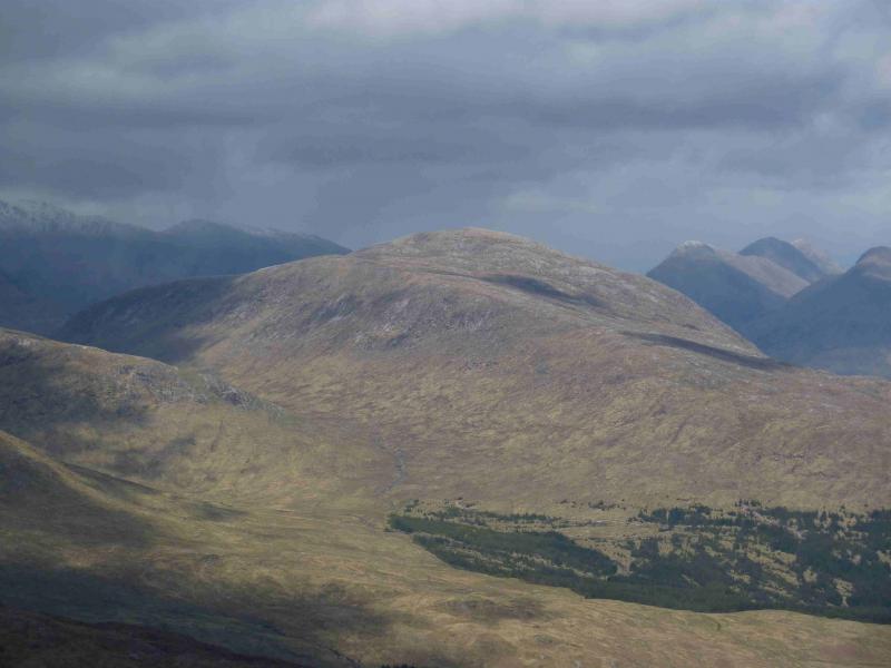
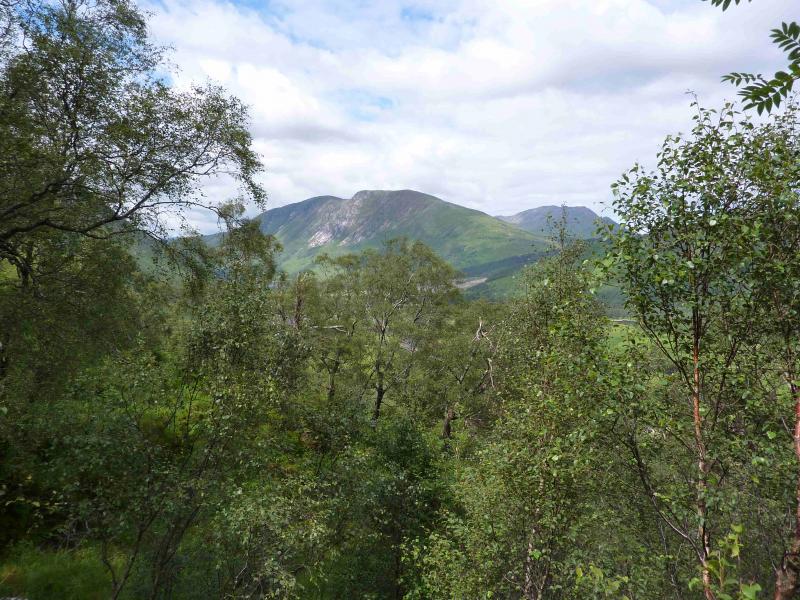
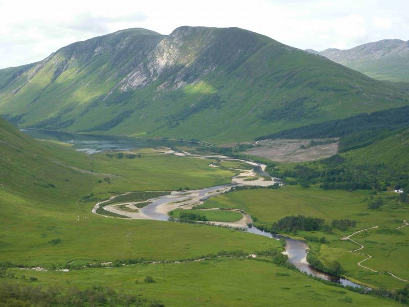
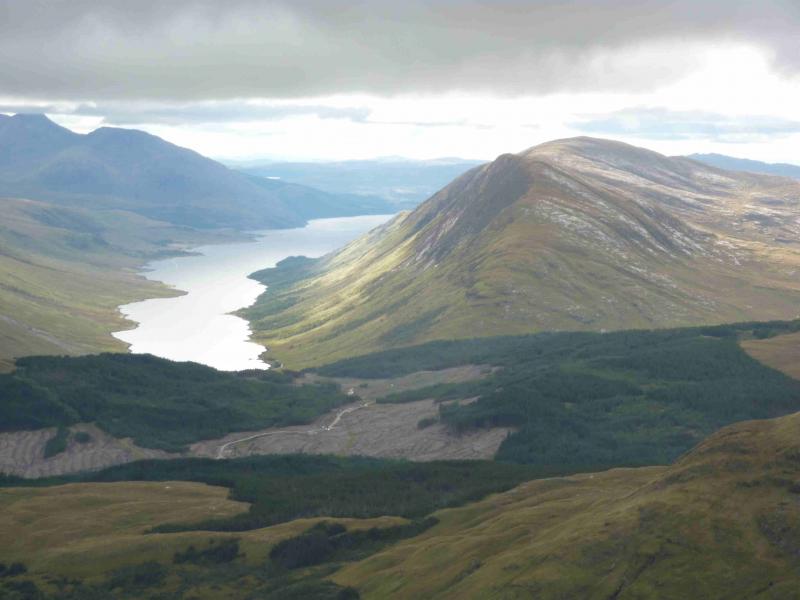
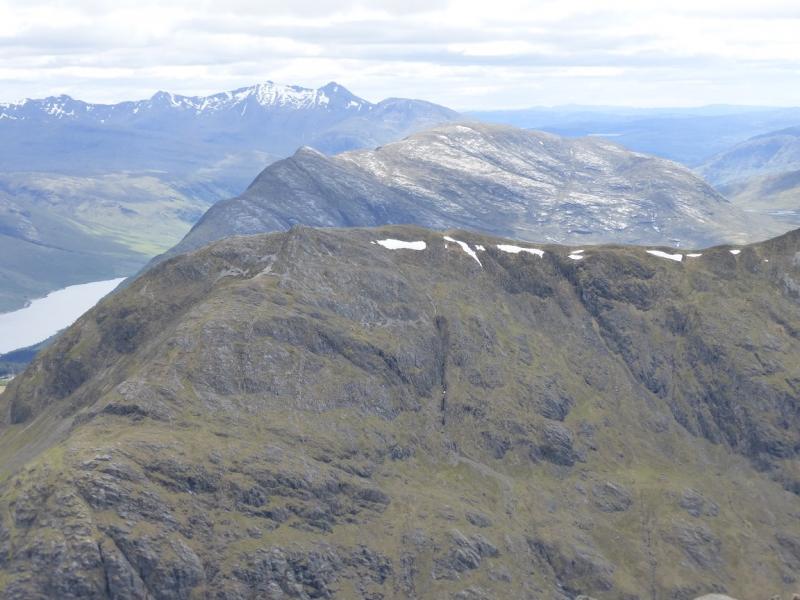
Beinn Trilleachan
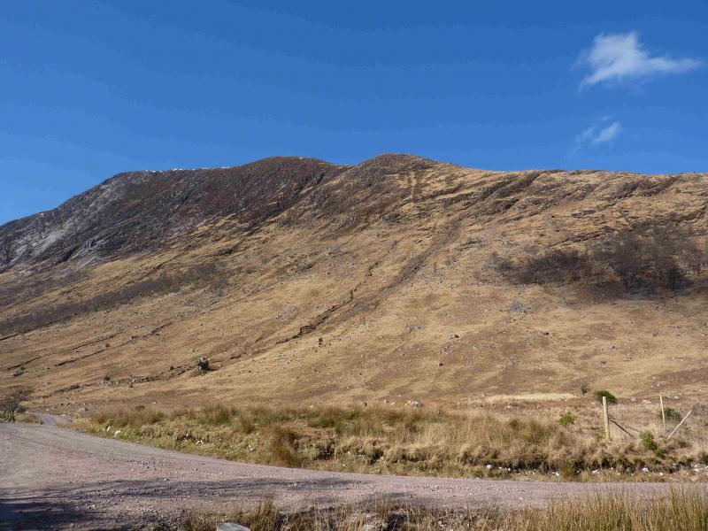
Beinn Trileachan from Glen Etive
Start/Finish
New car park near the end of the road in Glen Etive just before Loch Etive.
Distance/Time
11 km Approx 5½ hours
Peaks
Beinn Trileachan, 840 m, NN 086 439. OS Sheet 50
Introduction
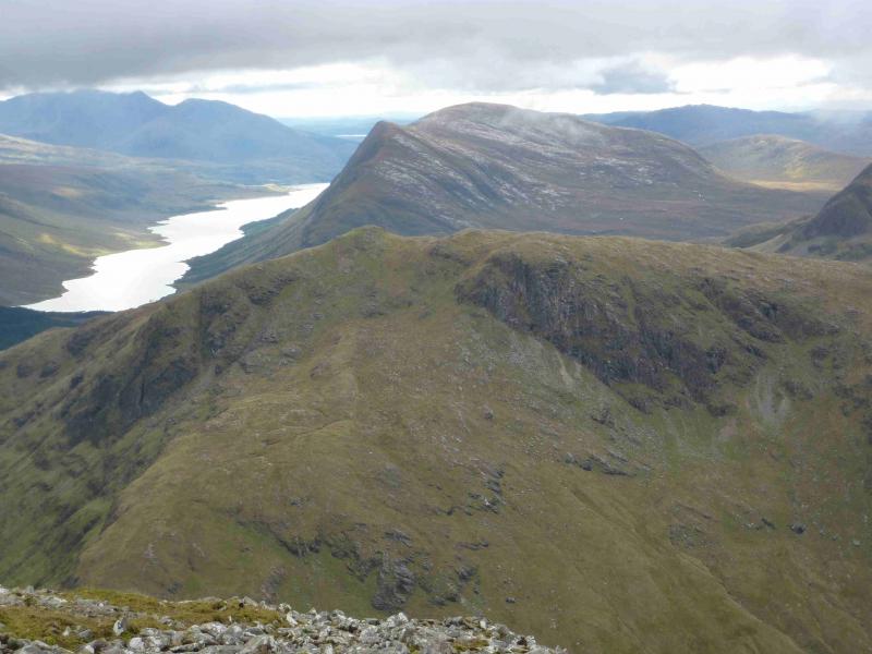
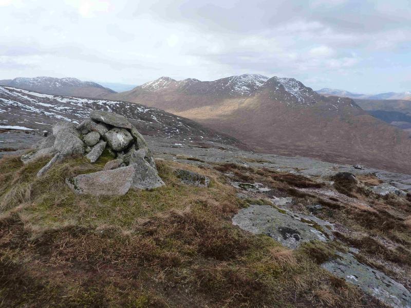
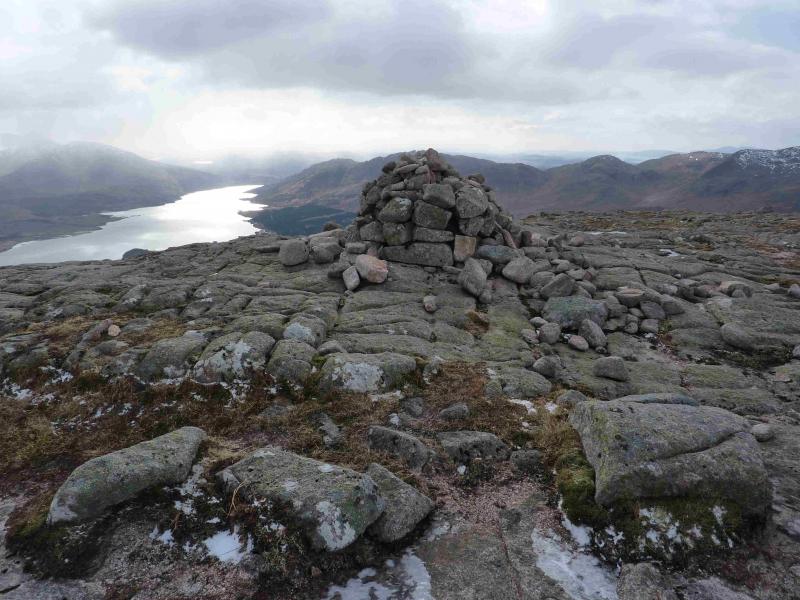
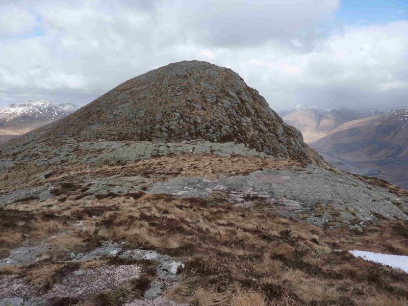
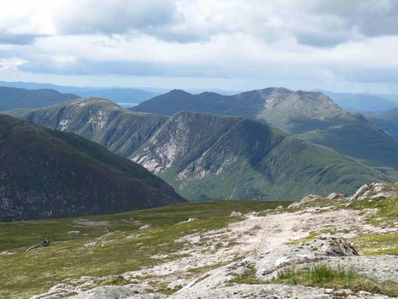
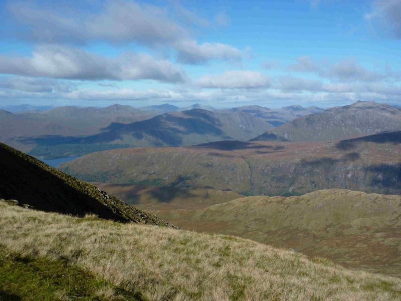
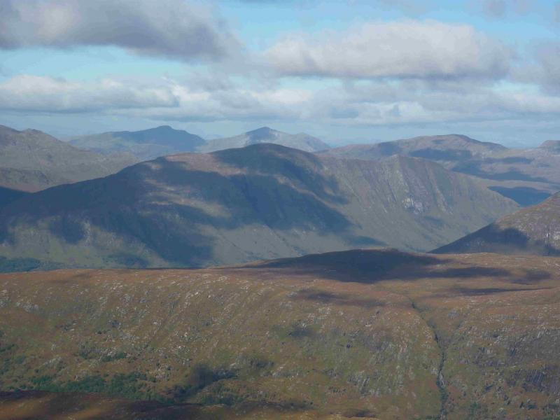
This Corbett dominates the right-hand skyline in lower Glen Etive. The Trileachan Slabs are popular with climbers and the summit could be reached easily from the top of the slabs. The views are outstanding in all directions. On the down side, the lower approach can be very hard going.
Route
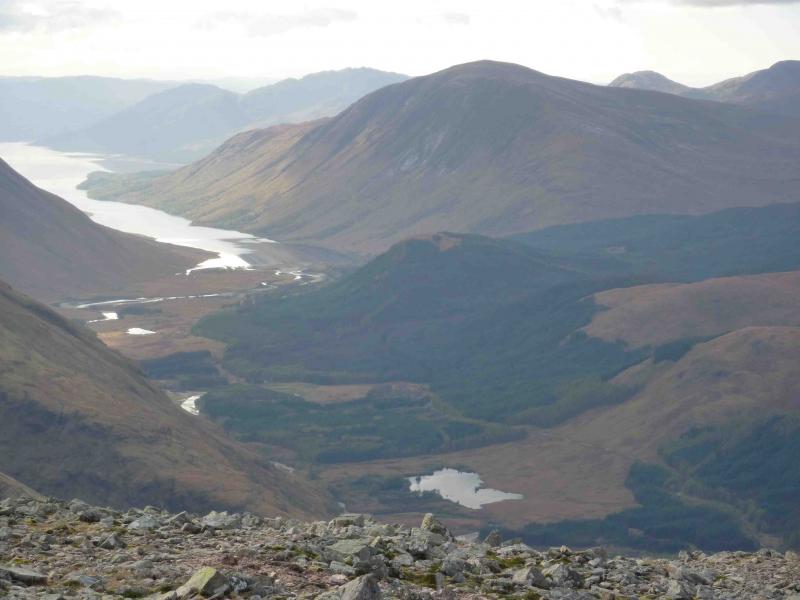
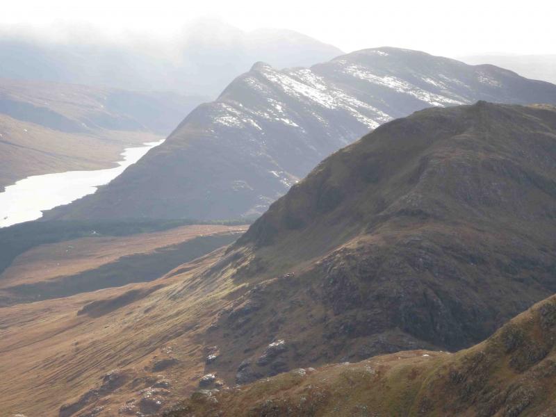
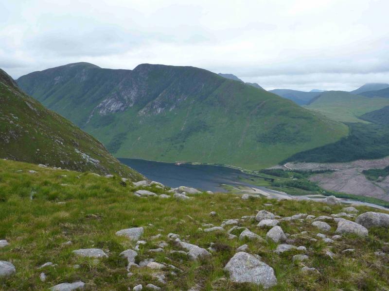
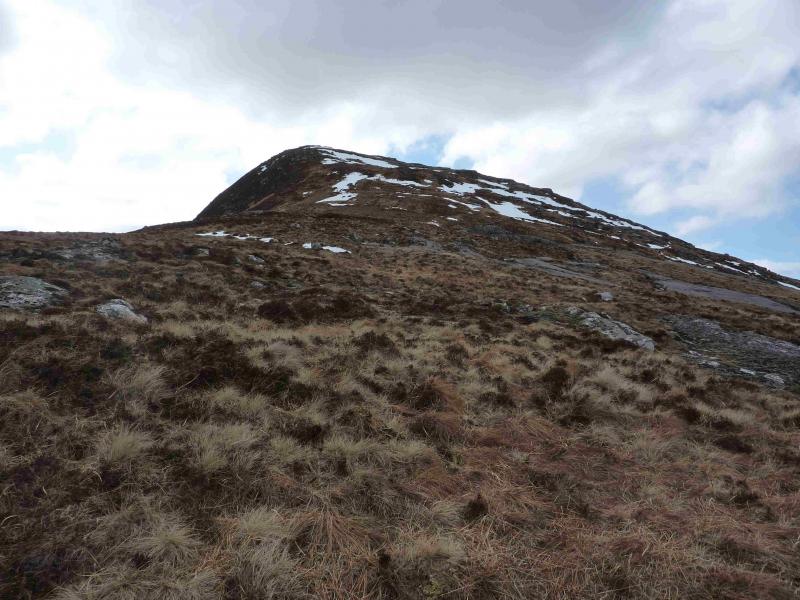
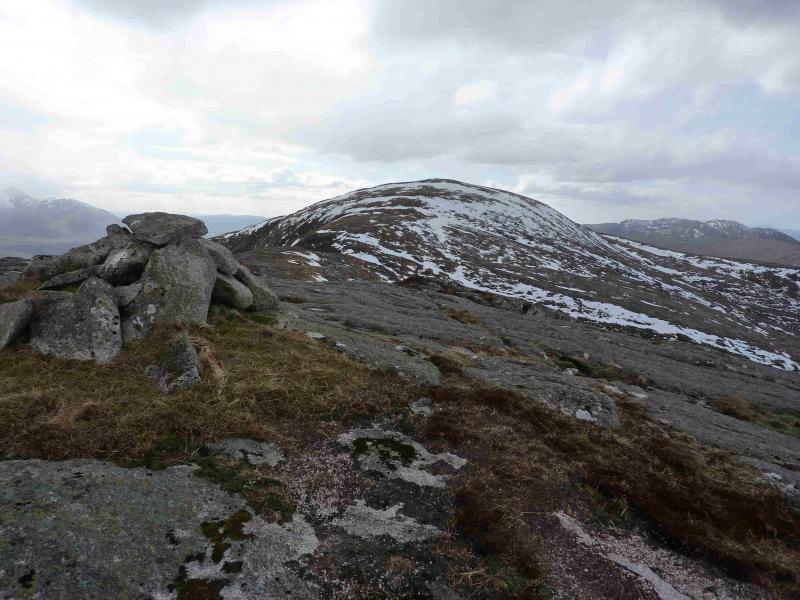
(1) Walk up a “path” along the W edge of the forest. This can be very wet and boggy with hidden, deep holes in the grass. As the path starts to level off, slant off left on another path and start to climb the NE ridge heading SW on an intermittent path. When the first shoulder: Meall nan Gobhar is reached, the ridge becomes rockier with granite slabs but there are no difficulties. Continue to climb to the next shoulder after which the angle eases considerably to reach the cairn above the Trileachan/Etive Slabs (787 m).
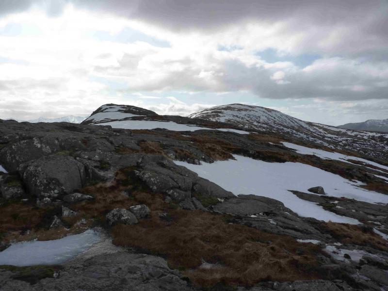
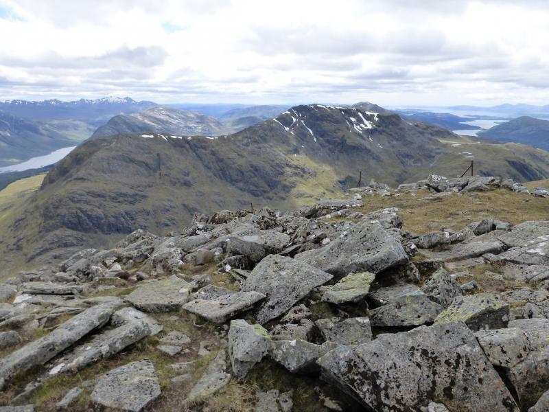
(2) The steep descent SSW to the bealach can be eased by going well to the right (SW) then climb easy slopes to the large summit cairn of Beinn Trileachan, 840 m.
(3) Return by the same route. It is possible, in good weather, to descend from the ridge, down one of the easier angled gullies, to Loch Etive but it is steep and pathless. A track seen from above soon peters out and becomes a boggy path. Descents to the NW are less steep but may lead to even more boggy ground.
Notes
(a) This walk took place on 18th November, 2009 and 10th March, 2013.
Photos - Hover over photo for caption. Click on to enlarge. Click on again to reduce.