Get Lost Mountaineering
You are here: England » Lake District » 7 Western Fells
Pillar, Little Scoat Fell, Steeple & Red Pike from National Trust Car Park/camp Site near Wasdale Head
Pillar, Little Scoat Fell, Steeple & Red Pike
from National Trust Car Park/camp Site near Wasdale Head
Start/Finish
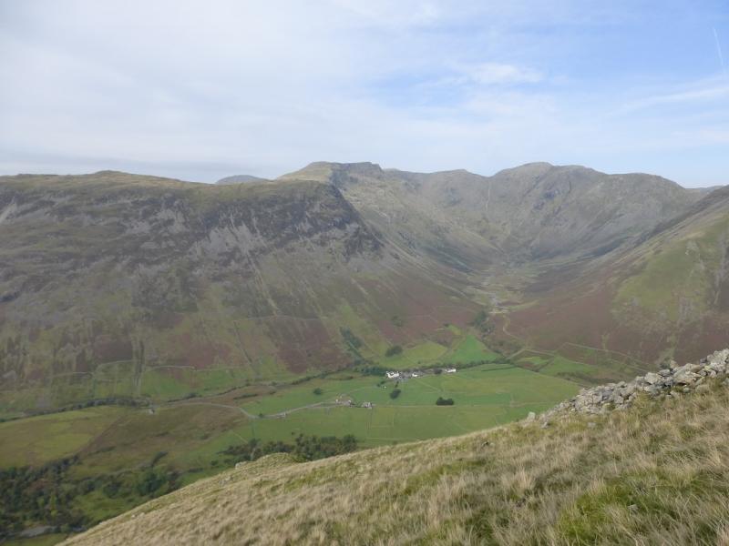
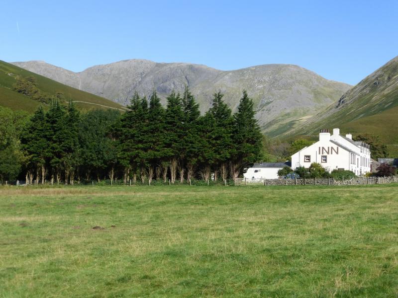
National Trust car park near the head of Wastwater. Drive along the road by the lake towards Wasdale Head. Once past the end of the lake, look for a rough road going right and over a girder bridge. Follow this for a short distance to the National Trust car park. Do not drive past the car park as the access is for private buildings and Mountain Rescue only. Parking is free for National Trust members. With two cars, one could start at the Village Green at Wasdale Head (where parking is free in 2015 but will be charged in 2016) and leave the second car in Over Beck car park (free in 2015) at the foot of the SW ridge of Yewbarrow. However, the distant between the two is only about 2.5 km or about 30 minutes walking.
Distance/Time
16 km About 6 – 7 hours
Peaks
Pillar, 892 m, NY 171 121.
Little Scoat Fell, 841 m, NY 160 114.
Steeple, 819 m, NY 157 117.
Red Pike (Wasdale), 826 m, NY 165 106.
OS 90: Penrith & Keswick. OL4 North Western Lakes.
Introduction
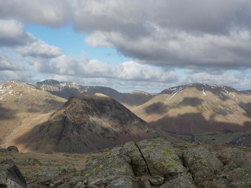
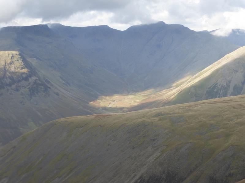
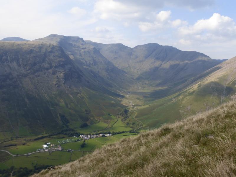
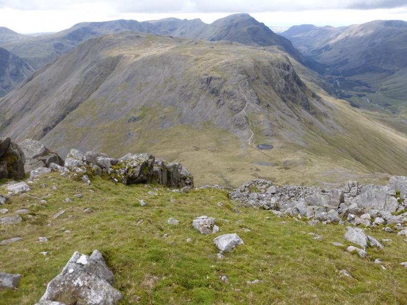
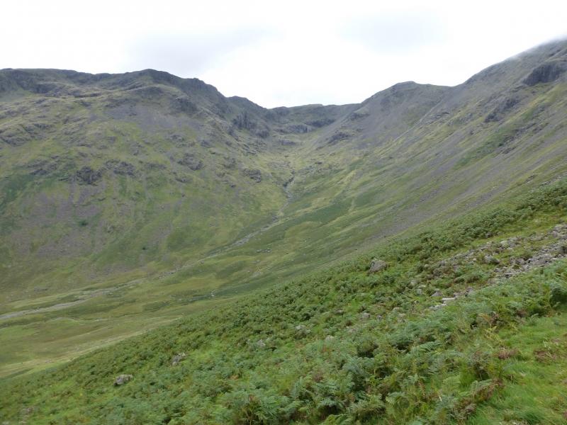
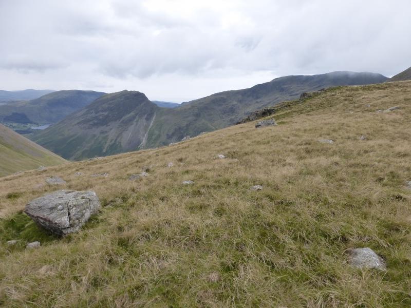
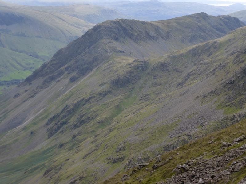
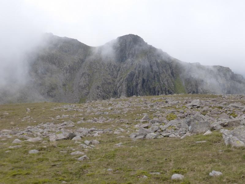
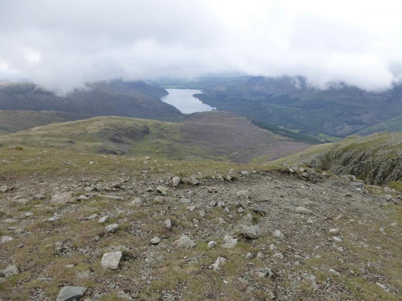
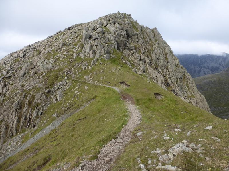
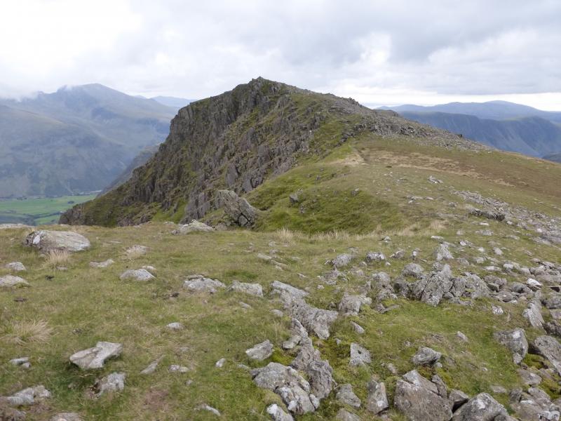
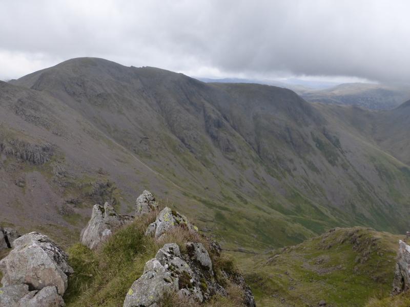
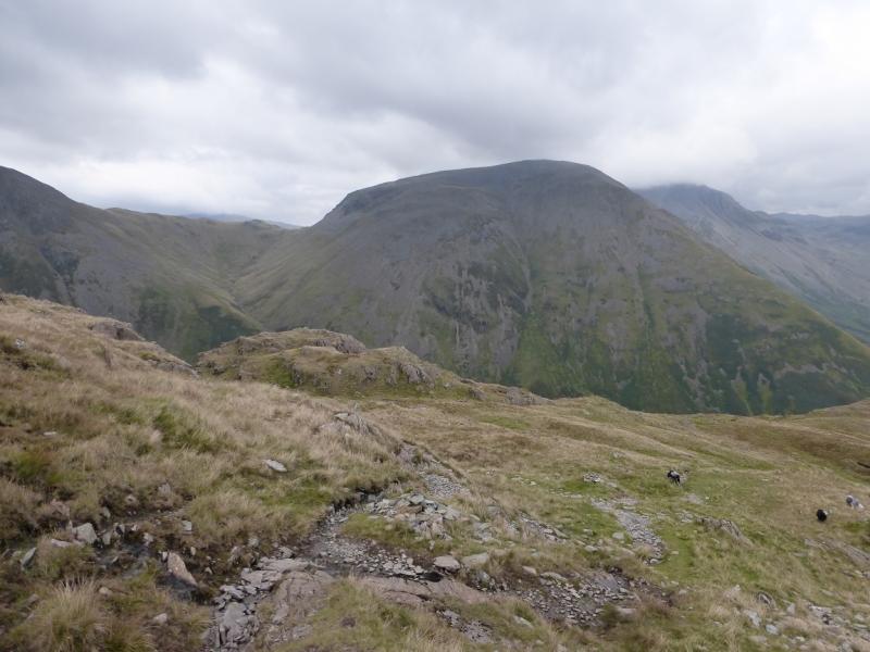
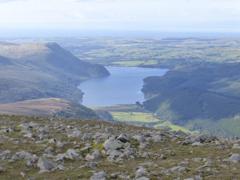
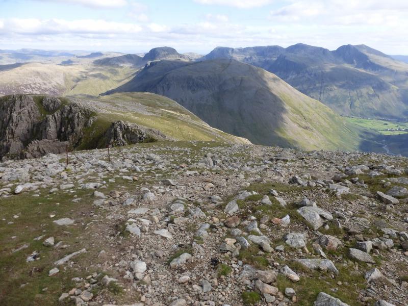
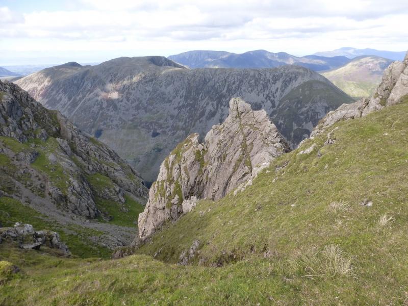
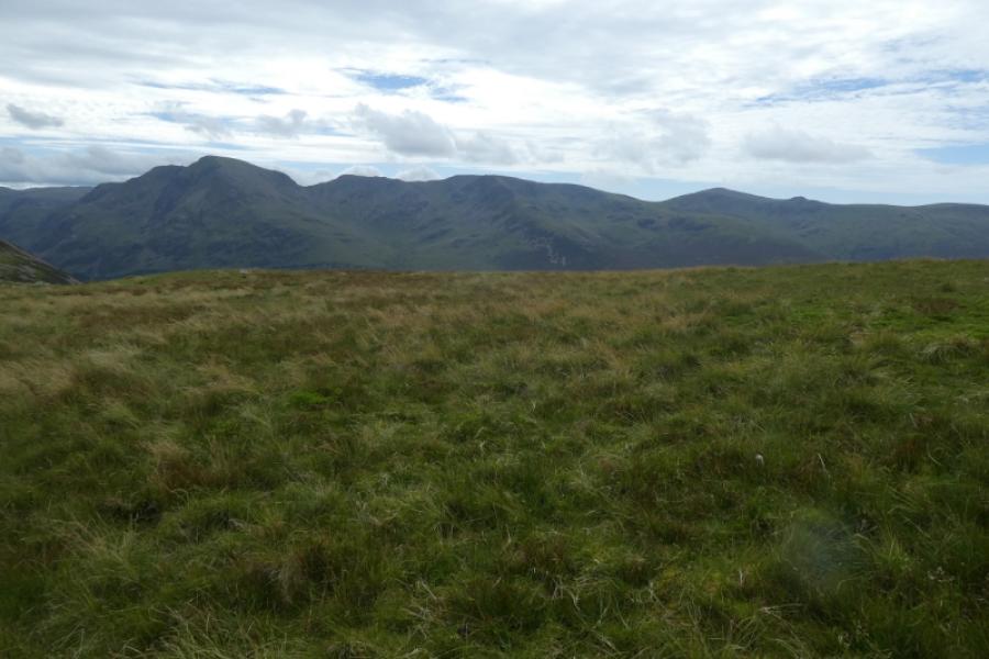
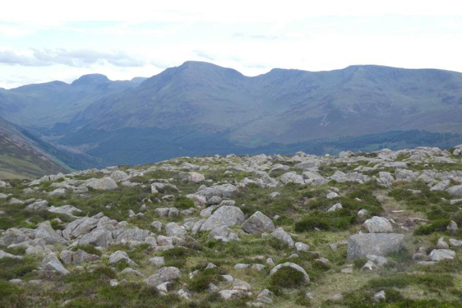
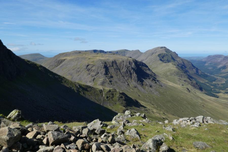
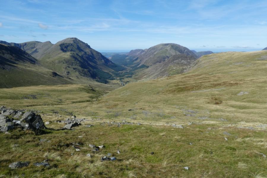
This is a tough walk but there are excellent views in clear conditions which include Scafell, Scafell Pike, Great Gable, Kirk Fell, Haystacks, Red Pike (Buttermere), Seatallan & Illgill Head. There is no scrambling but boulder fields have to be negotiated on Pillar and Scoat Fell. Strangely, the highest point on Scoat Fell is Little Scoat Fell not on Great Scoat Fell! There are good paths most of the way which are well cairned. The descent of the SW ridge of Pillar is steep and loose especially above its col to Scoat Fell, known as Windy Gap. Yewbarrow could easily be added to this walk by ascending it from Dore Head via the steep, loose and rocky Stirrup Crag. Yewbarrow is posted separately. A direct descent from Dore Head to Wasdale Head is not recommended as it is very steep and loose.
Route
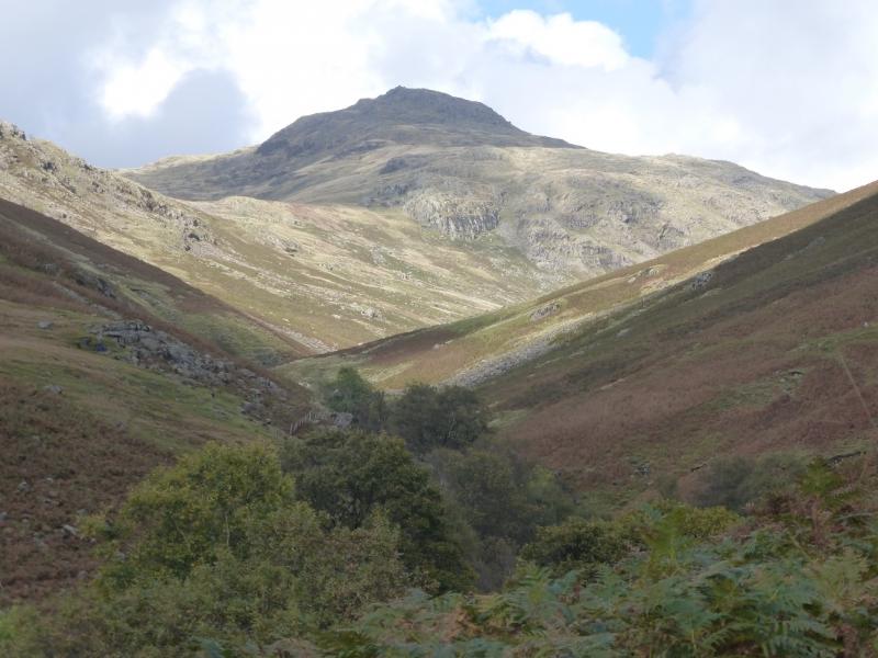
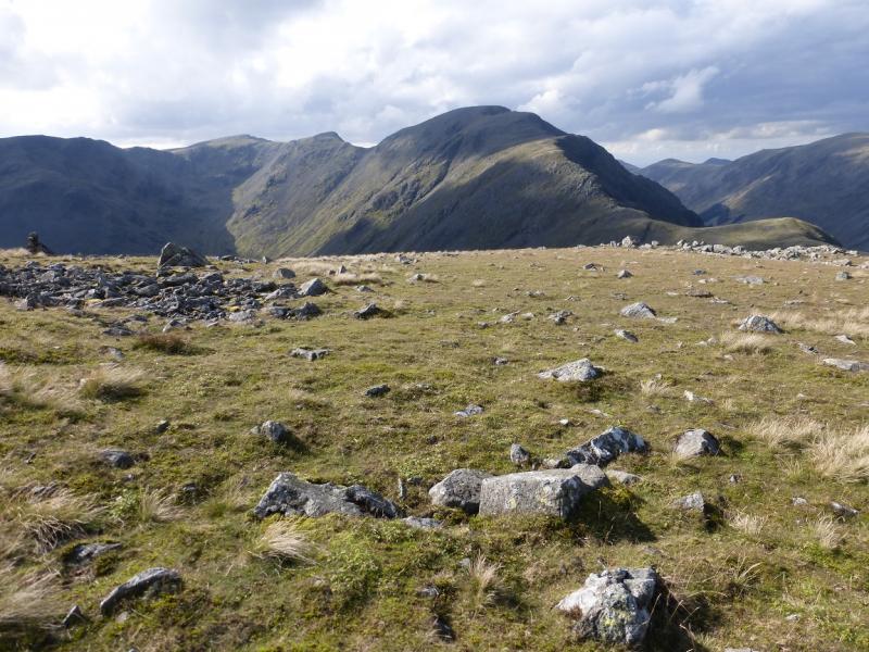
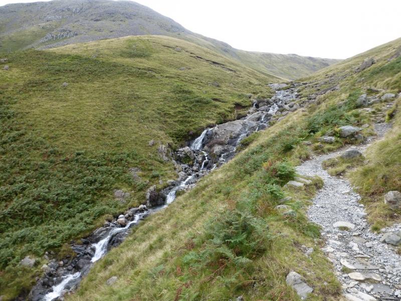
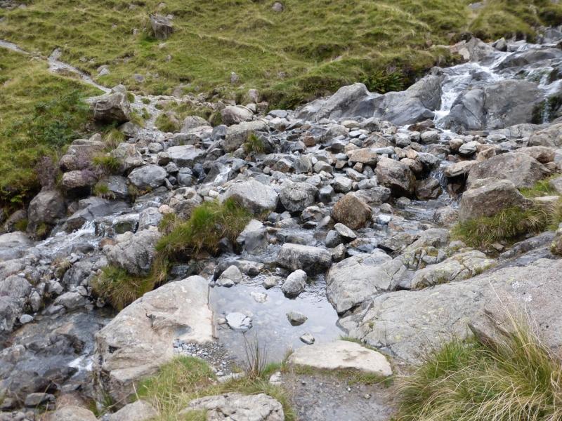
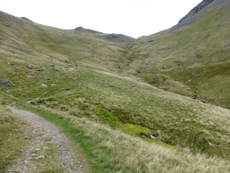
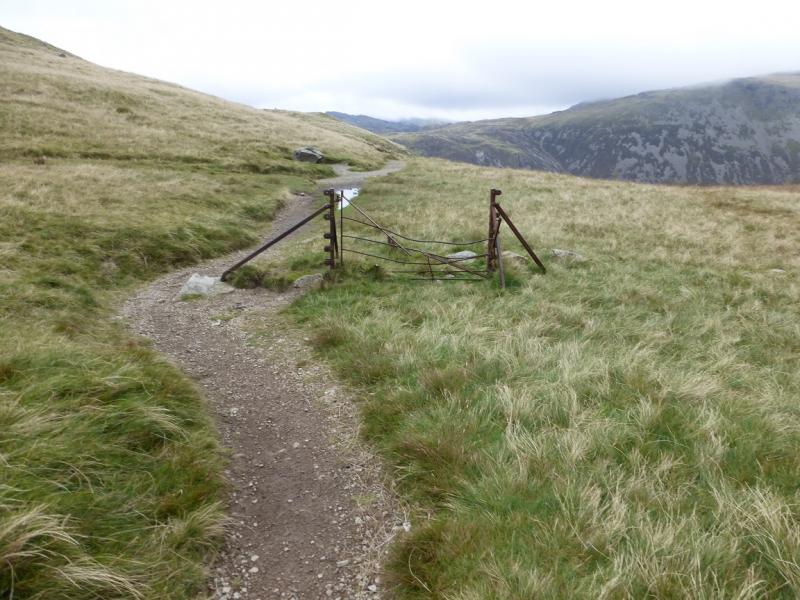
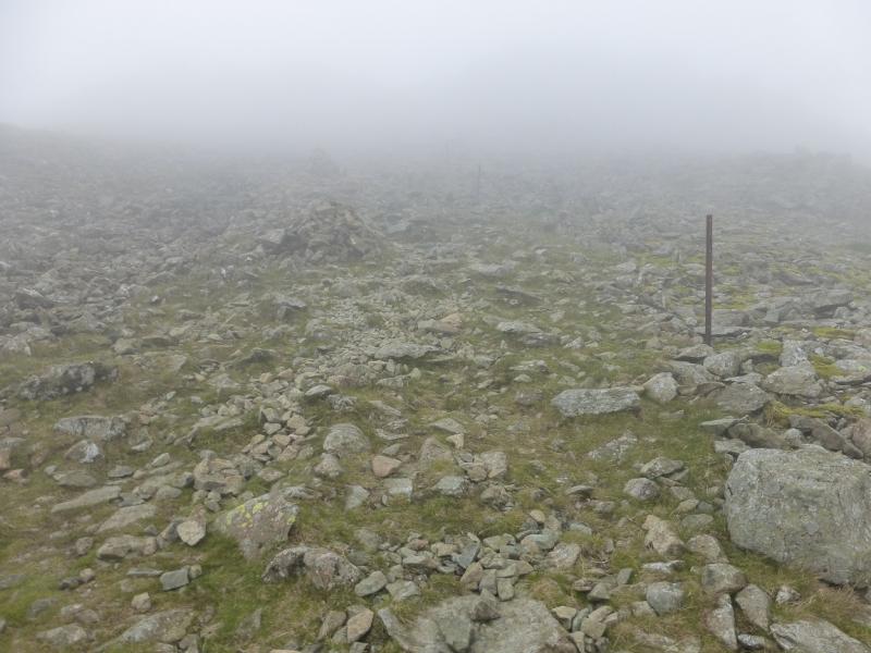
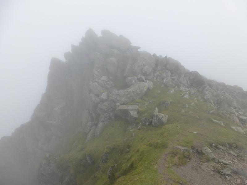
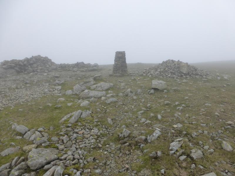
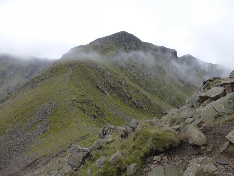
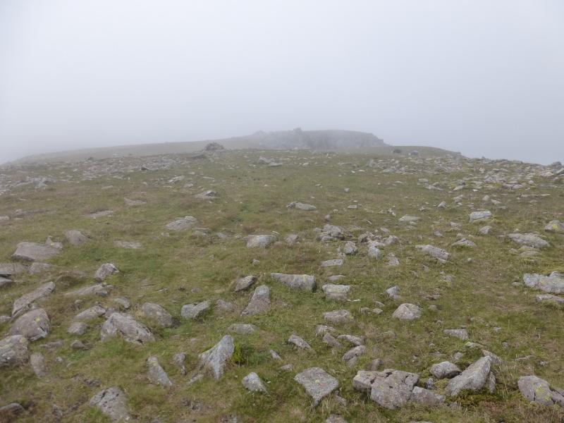
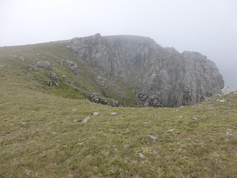
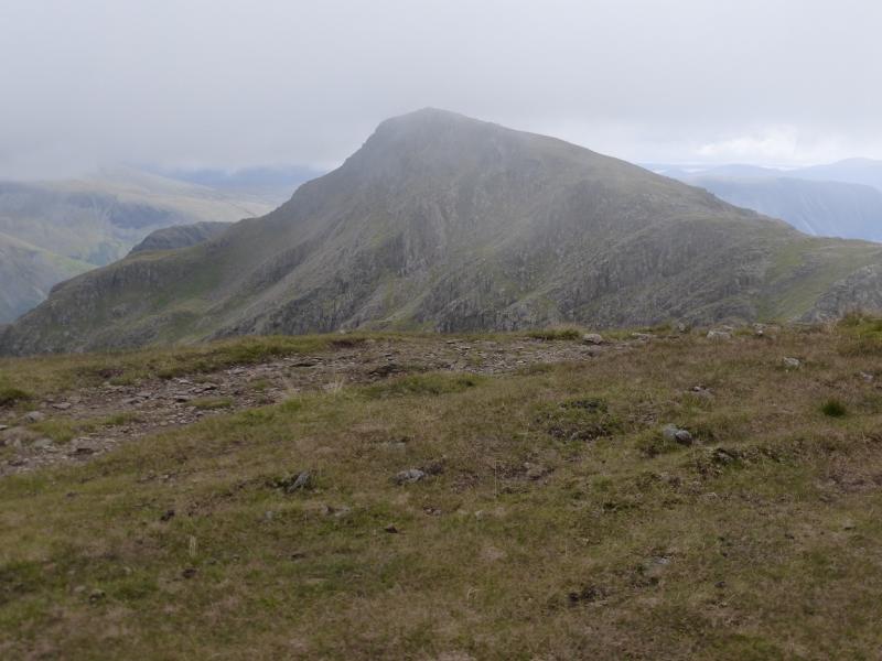
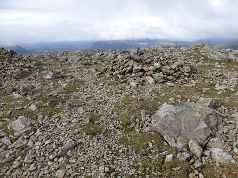
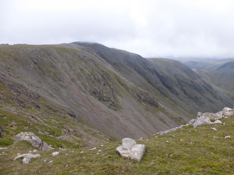
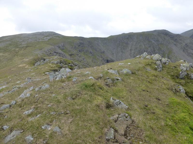
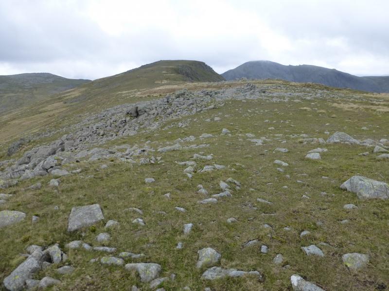
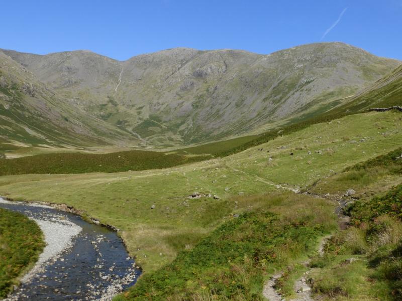
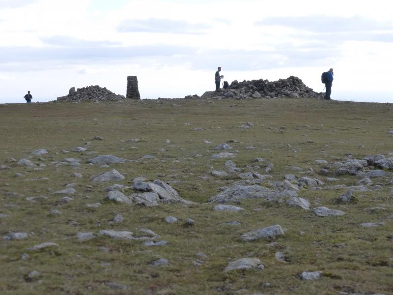
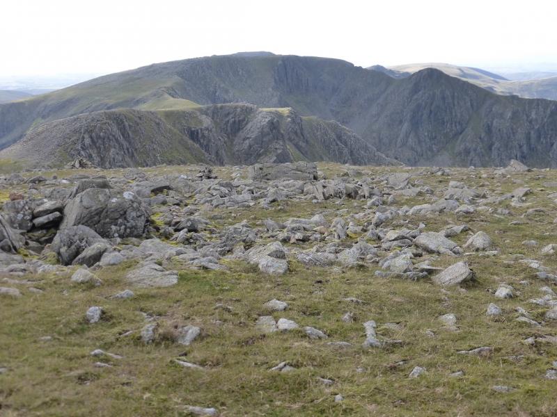
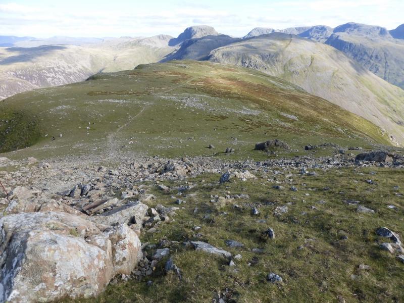
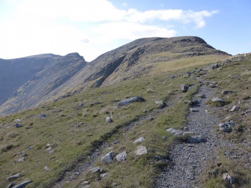
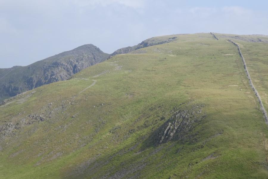
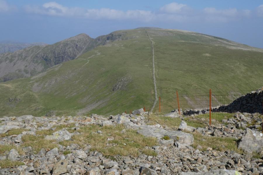
(1) From the car park, continue up the rough road. Cross the cattle grid to reach the Mountain Rescue car park. Go through the gate on the left and follow the track through another gate then go right on a track at the back of but within the camp site. Follow this to the river which is so wide that it is crossable in most conditions and is often dry. Continue on the path, through gorse bushes, to join the road just before Wasdale Head. Walk between the Wasdale Head Inn and the shop opposite then turn right alongside the river and follow the very obvious path heading roughly N on the E side of the river. This is the well trodden path to Black Sail Pass which rises gradually then crosses Gatherstone Beck just above a series of small waterfalls. There is no bridge but the crossing is normally very straightforward unless there has been heavy rain. Once across, continue up to reach the top of the pass at a large cairn. Soon after this, there is an old iron gate which is where the path goes off left, NW, towards Pillar. Follow the obvious path which is initially on the left of the crest. There is also a line of old fence posts which is never far from the path. It is worth joining the crest after a while to reach the top known as Looking Stead where there is a small cairn after which it is easy to rejoin the main path. Continue up, with several path options being available at times. When the rocky sections and boulder fields give way to mainly grass, the summit is close. The fence posts point the way but don't go all the way. A trig point and large shelter cairn mark the summit of Pillar, 892 m.
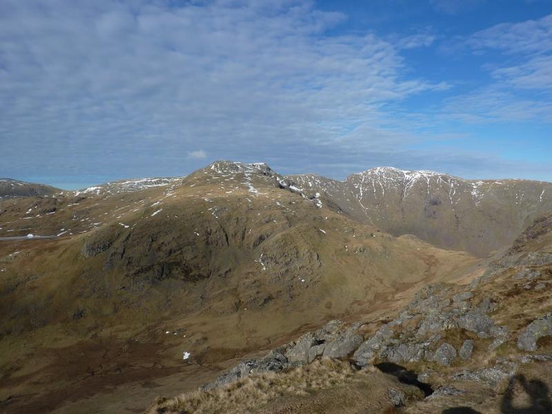
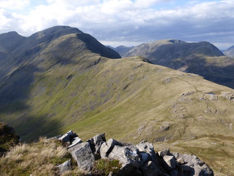
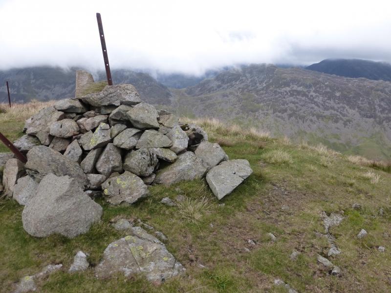
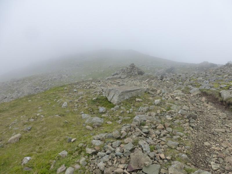
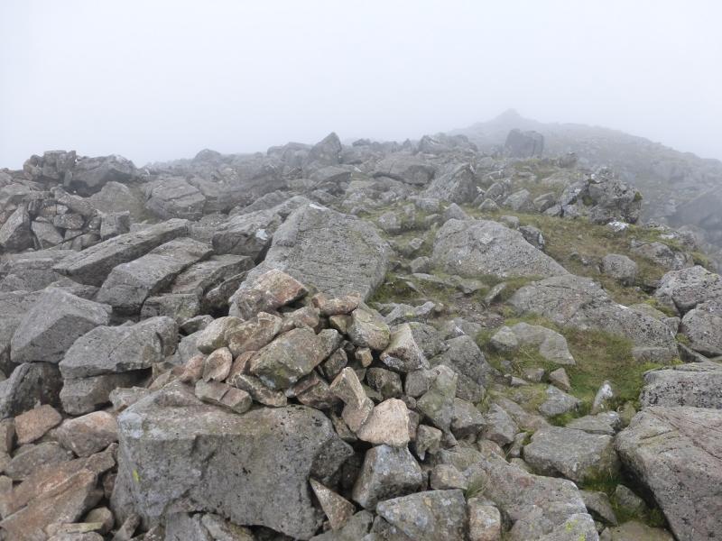
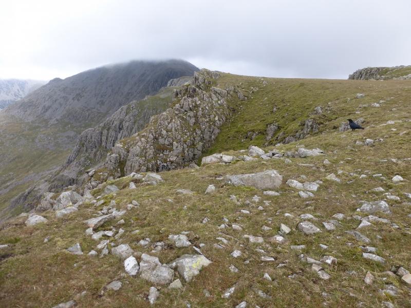
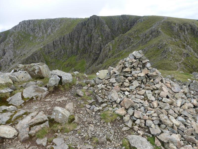
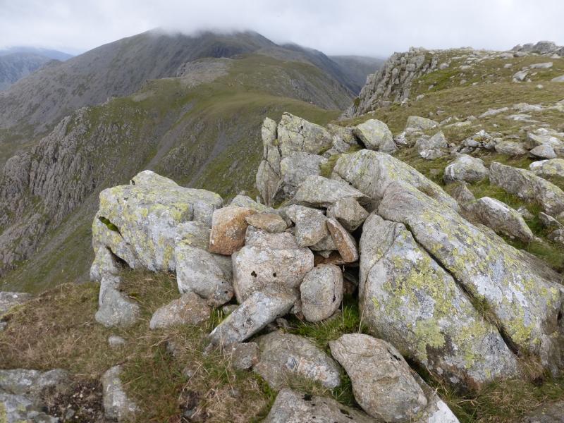
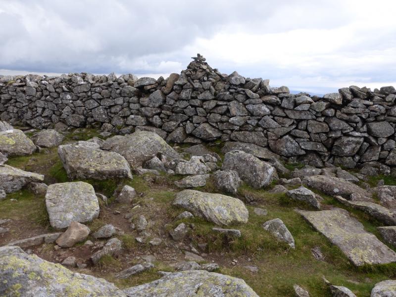
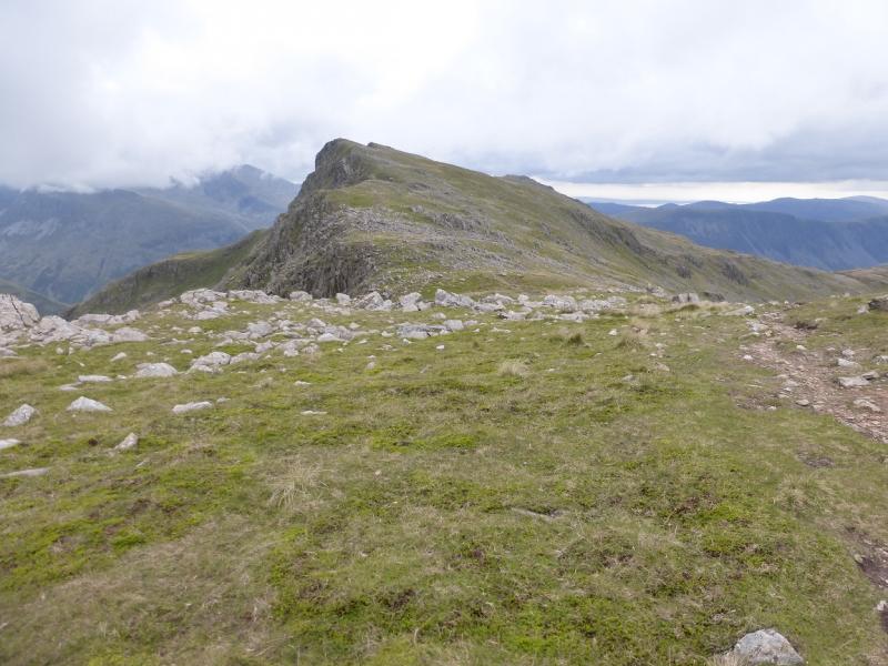
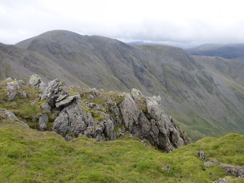
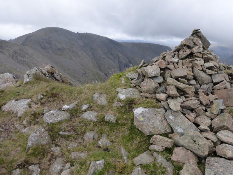
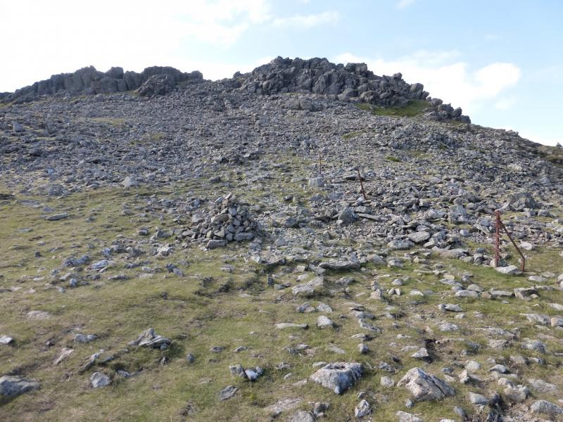
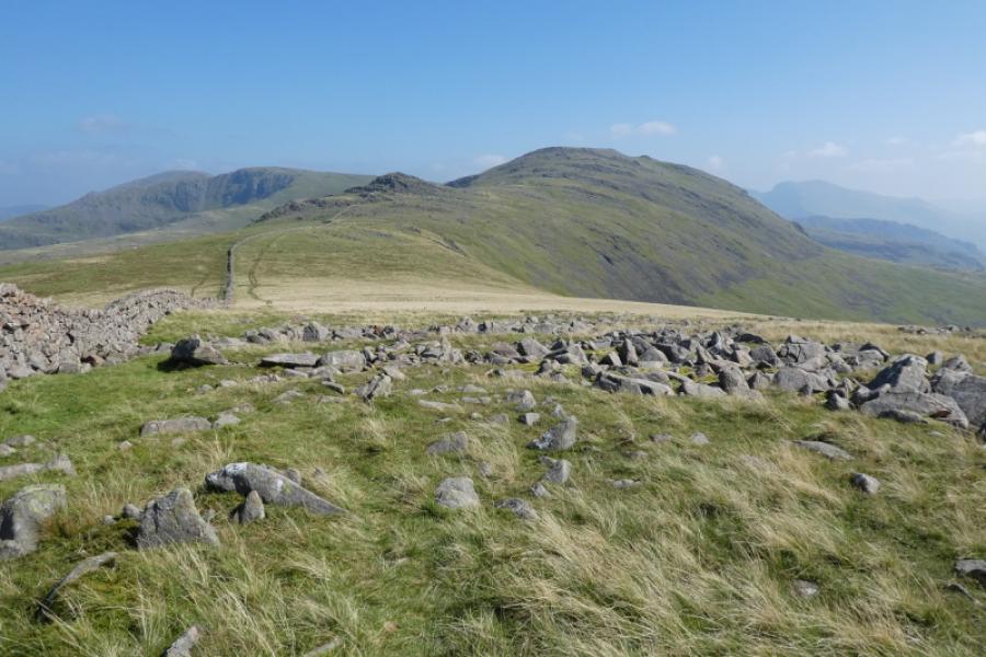
(2) Descend roughly SW, following a line of cairns, until an obvious path forms. Follow this down rocky ground which steepens lower down and leads to a grassy col known as Windy Gap. Continue up the other side on grassy then rocky ground including a large boulder field. When the ground levels out, reach a small cairn and shelter cairn then a larger (seemingly, slightly lower) cairn about 100 m further on. This is the top of Black Crag and should not be confused with Little Scoat Fell, about 600 m further. Another ascent over boulders leads to the start of a stone wall after which the ridge becomes almost level. Cross the wall as soon as possible and follow it to the unusual cairn on top of the wall. The summit cairn is small and about 10 m to the right of this cairn and this is Little Scoat Fell, 841 m.
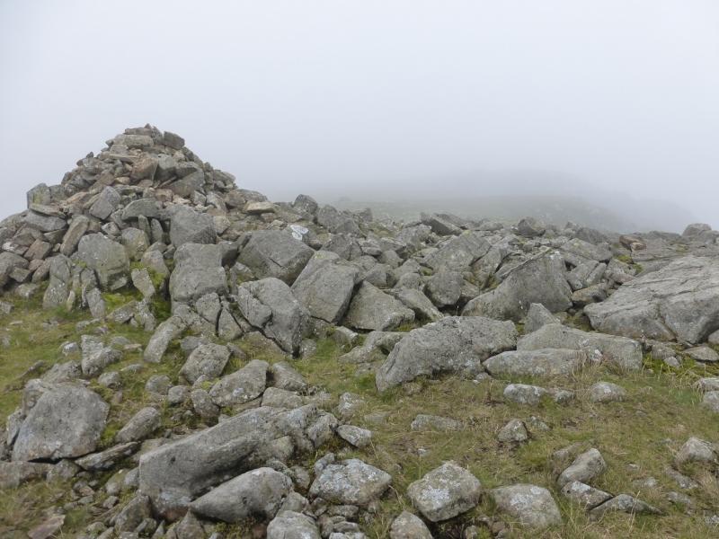
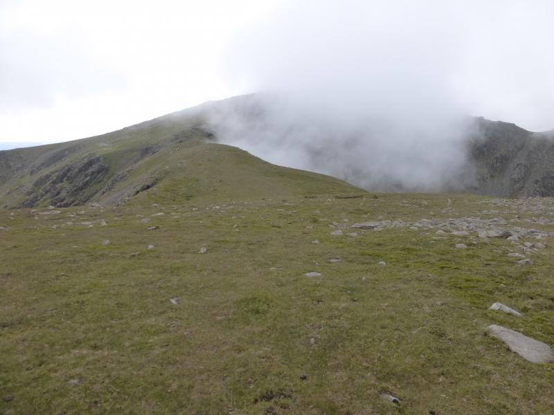
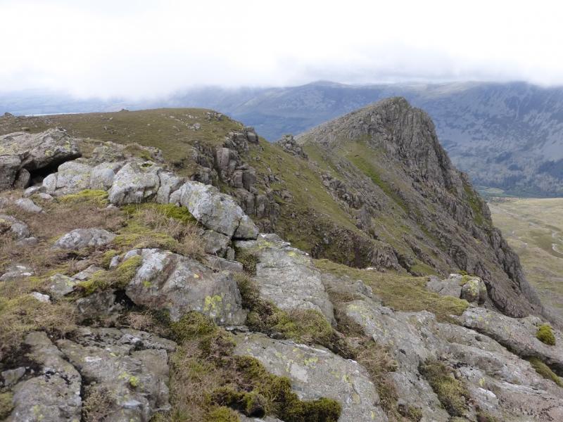
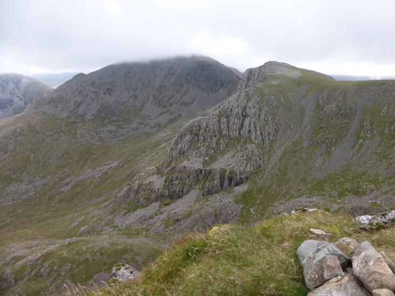
(3) Continue along the crest for about 300 m to reach a cairn and shelter cairn. Follow the edge around to the N here and soon find an obvious path which leads down to a small col then up about 30 m to a medium cairn which is the summit of Steeple, 819 m.
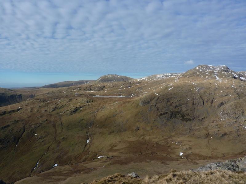
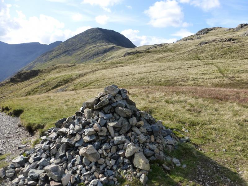
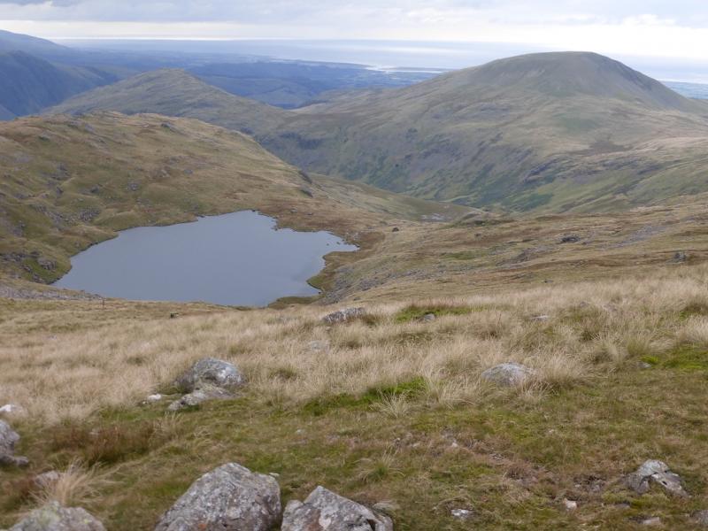
(4)Retrace to Scoat Fell and its summit then cross the wall and descend roughly SE crossing stony ground. Reach the E edge of the ridge where there is good path coming from Black Crag. Follow this up to the medium cairn which marks the summit of Red Pike (Wasdale), 826 m.
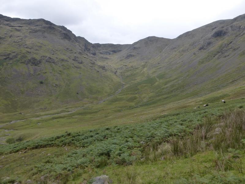
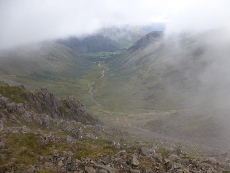
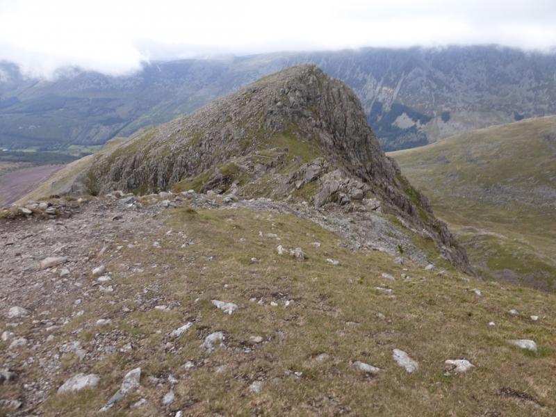
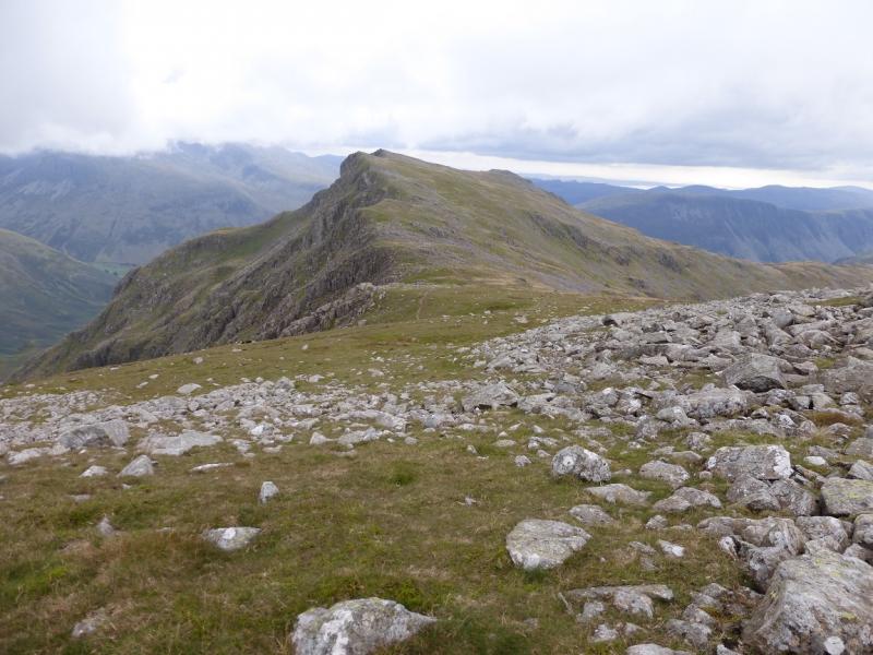
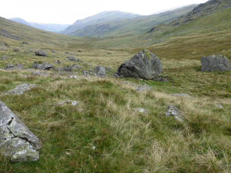
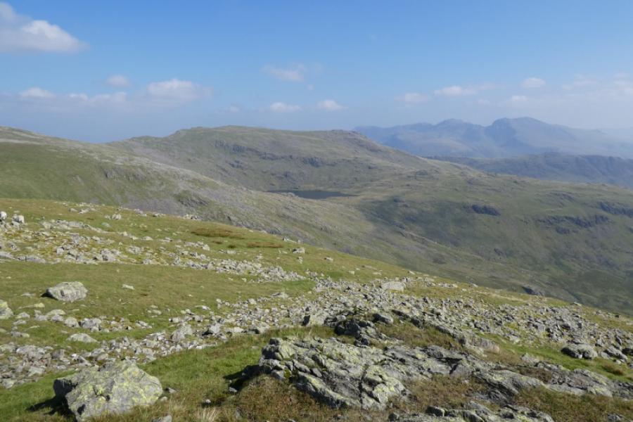
(5) Descend S from the summit, on an obvious path. There is a cairn on the next top. Do not traverse this to the right, W, or the path will be lost it goes down the E edge of the ridge. Continue down and eventually reach the col below Yewbarrow known as Dore Head. From here a path goes roughly SW, below Yewbarrow, and continues down keeping to the E of Over Beck. The path can be faint and boggy in places but eventually leads to a stile over a wall, beyond which a path leads down, by the wall, to the Over Beck car park.
Notes
(a) This walk took place on 14th September, 2015.
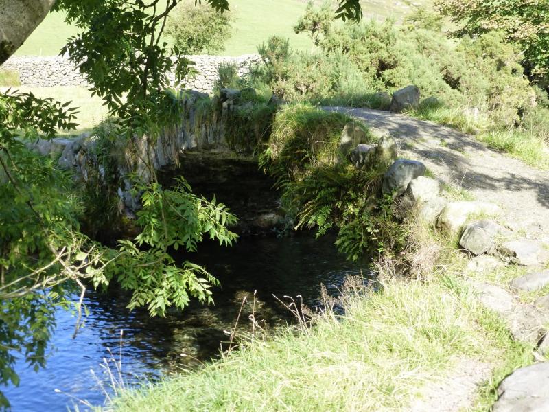
Photos - Hover over photo for caption. Click on to enlarge. Click on again to reduce.