Get Lost Mountaineering
You are here: England » Lake District » 7 Western Fells
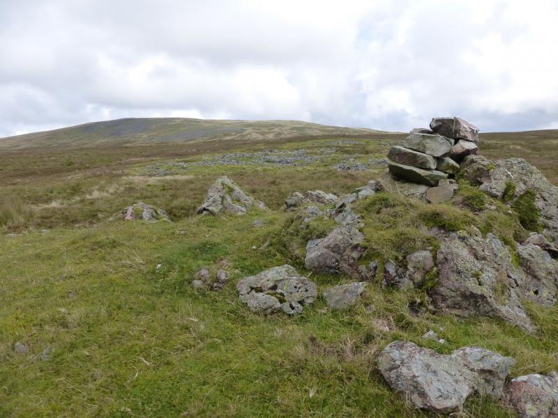
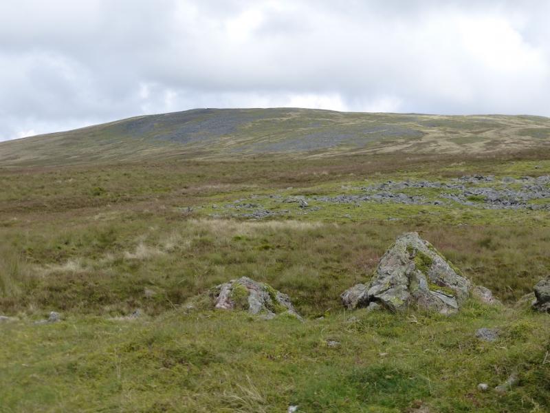
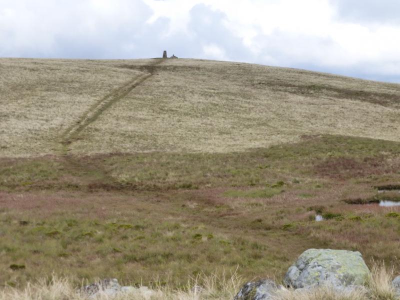
Lank Rigg from South West
Lank Rigg from South West
Start/Finish
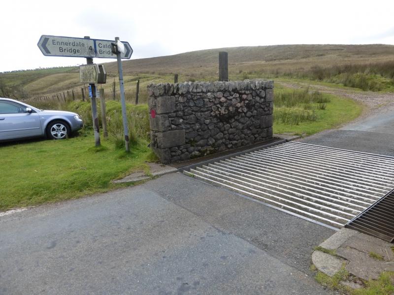
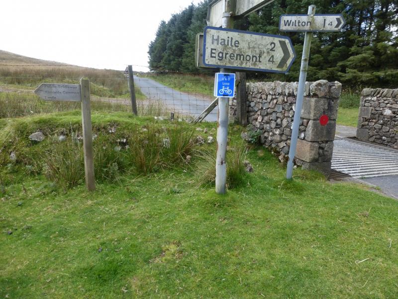
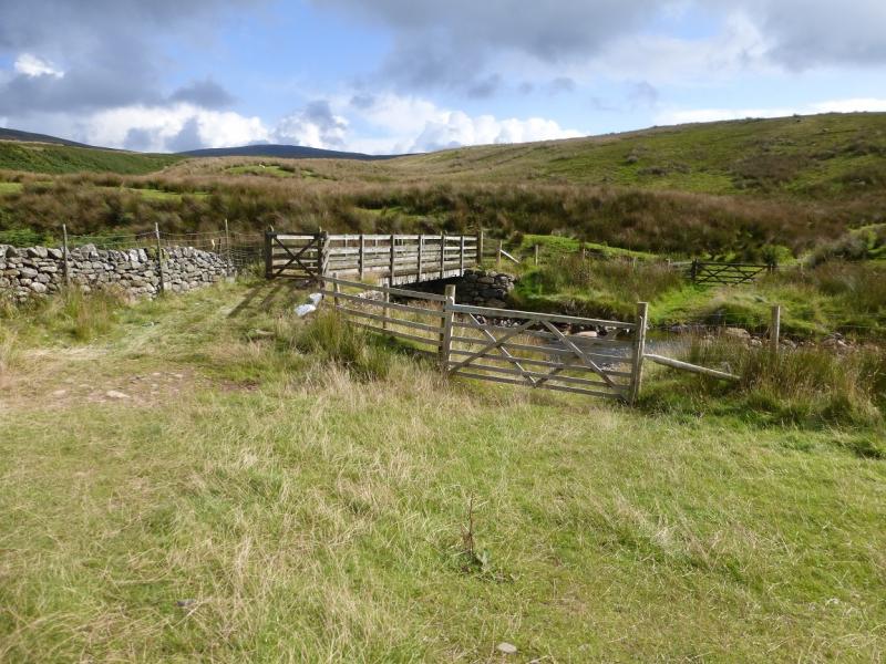
Friar Well (not signed!) on the minor road from Calder Bridge to Ennerdale Bridge. From Calder Bridge on the A595 Cumbrian coast road between Egremont and Gosforth, take the minor road north for Ennerdale Bridge. After about 3 miles, there is a cattle grid with some parking just beyond on the right. A road goes off to the left signed for Wilton and Egremont and splits soon after. By the cattle grid is a wooden sign for Kinniside Common and a track going east.
Distance/Time
12 km About 4 – 5 hours
Peaks
Lank Rigg, 541 m, NY 092 120. OL4 North Western Lakes
Introduction
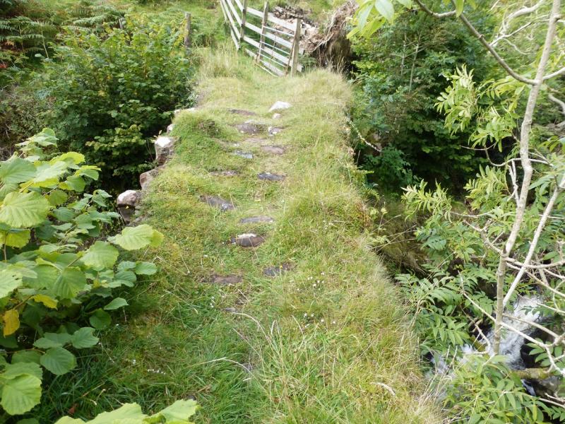
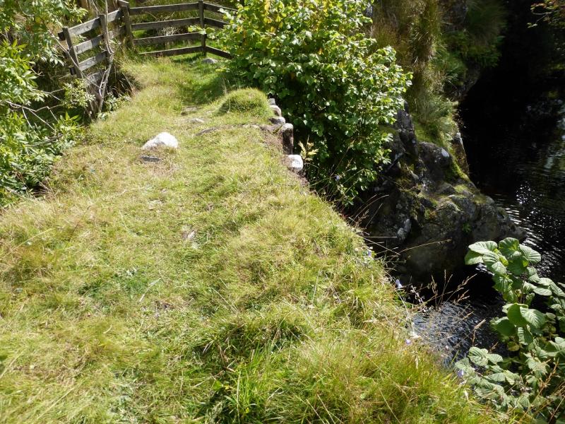
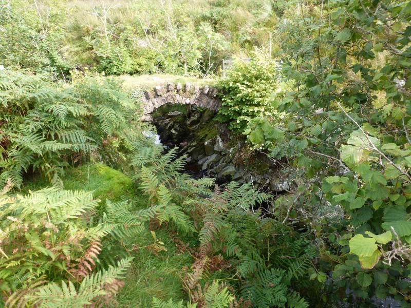
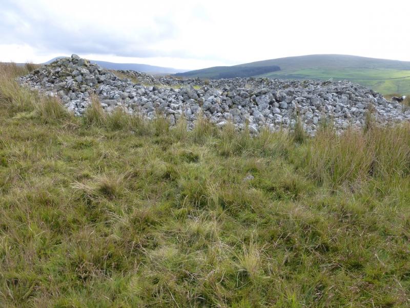
Lank Rigg is a mainly grassy moorland type of hill. It is a very good viewpoint for Iron Crag, Caw Fell, Haycock and Seatallan. Ponsonby Fell and Swainson Knott are also visible to the south west. On a clear day, Steeple, Pillar, Scoat Fell and Scafell will be seen as well as the Isle of Man. Some will consider it unfortunate that it is also a good viewpoint for Sellafield. There is not much in the way of a path to the summit and much of the pathless ground is mossy but not steep. The return uses an old track which is rough and flooded in places necessitating frequent short detours. A shorter route is from Near Thwaites to the north of Friar Well and to the west north west of the hill. This may be a more pleasant route but has yet to be checked out. One bonus of this route though is that it allows a short detour to an ancient packhorse bridge over the River Calder. There is also an unusual stone circle which is a ring of small stones piled up to about a metre high. There are few features on this hill so navigation will be taxing in poor visibility.
Route
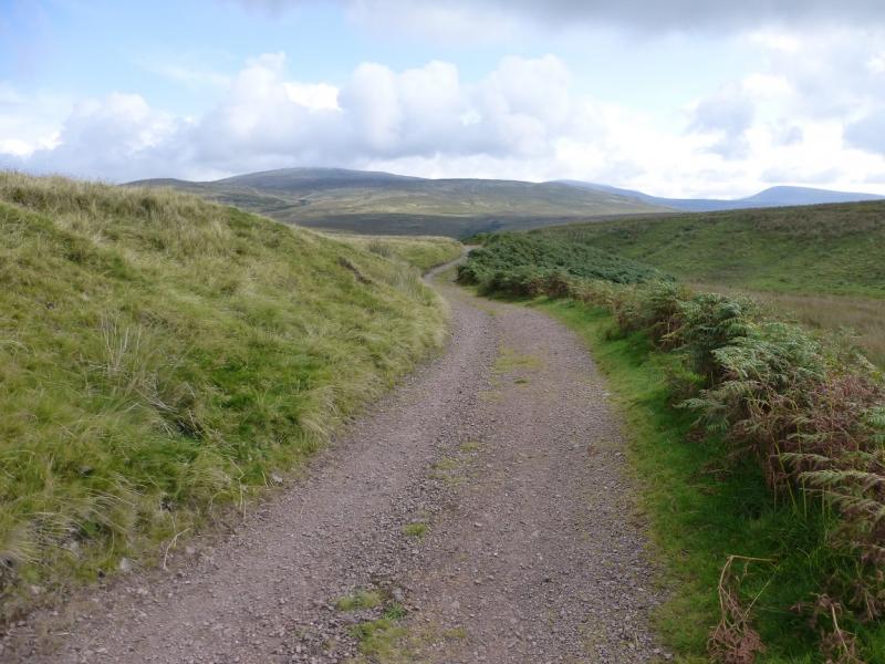
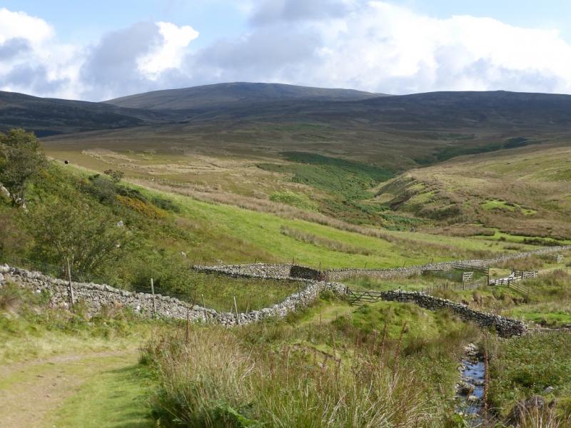
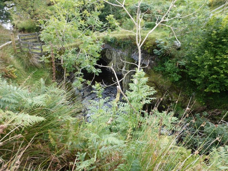
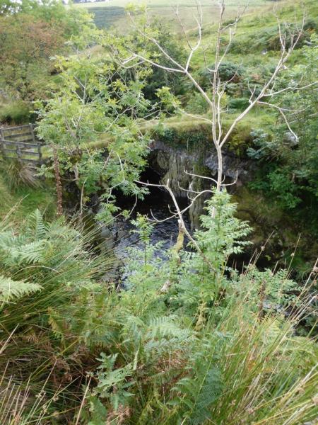
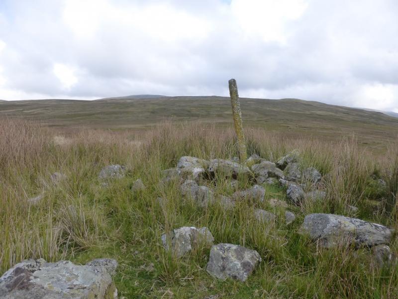
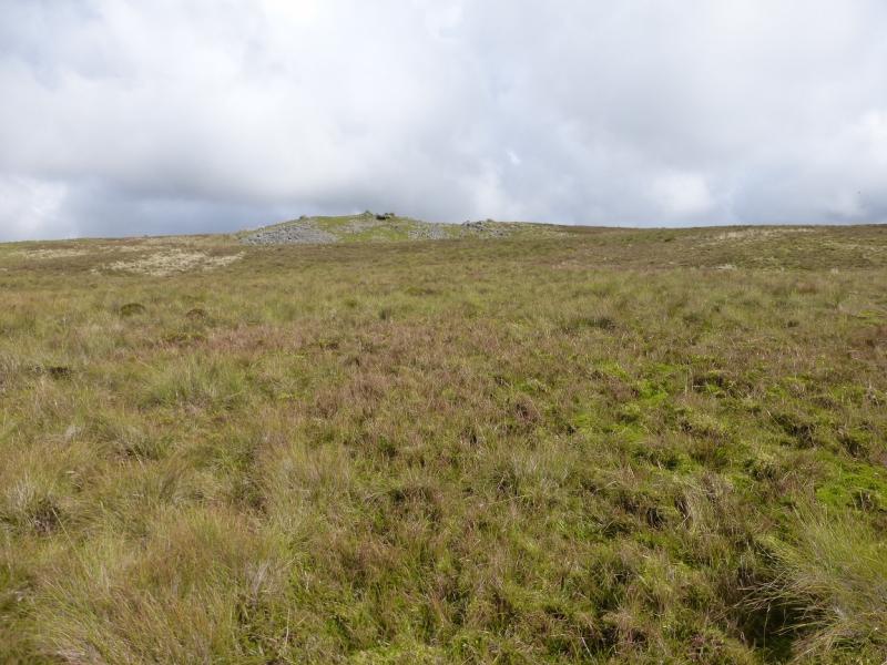
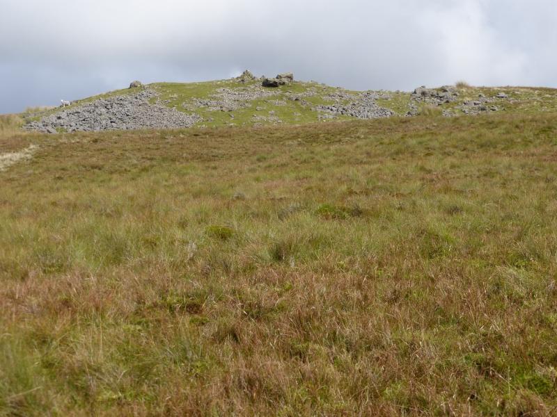
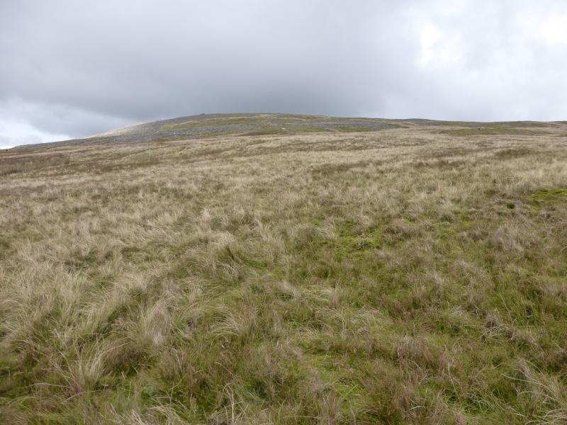
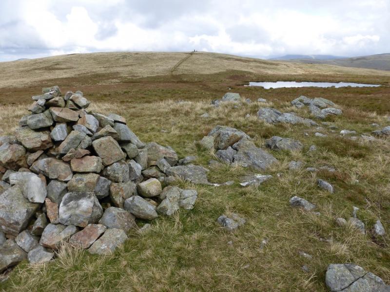
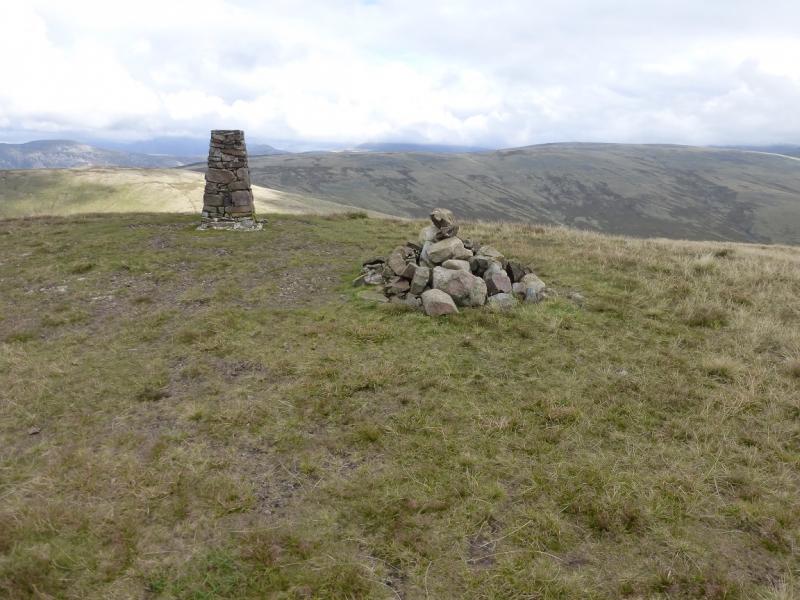
(1) Take the track from the parking spaces and follow it roughly E. It descends for about 800 m to reach a wooden bridge over the River Calder. Cross over then follow a path up the far bank of the river for about 150 m. Hidden in the trees is an ancient packhorse bridge, about a metre wide, over a small gorge. Cross over then follow a path back to the initial track and recross the wooden bridge. Continue ahead up the obvious track until a fainter track goes off left. Follow this, roughly E, up rough grass to reach the large stone circle then continue to reach a cairn with a pole sticking out of it. Continue up, trying to follow the best ground. There is a long brow ahead which runs left to right and it seems to have two cairned tops. Aim for the left one of the two which is a small outcrop and cairn. The summit is roughly NNE from here and a large cairn may be seen but this is not the summit. There are some boulder fields which can be outflanked by going below them by heading N then heading up a wide grassy section. Pass the large cairn seen from below then continue to a smaller cairn from where a path leads past a small tarn, on the OL 6 map, to a trig point and medium cairn which is the summit of Lank Rigg, 541 m.
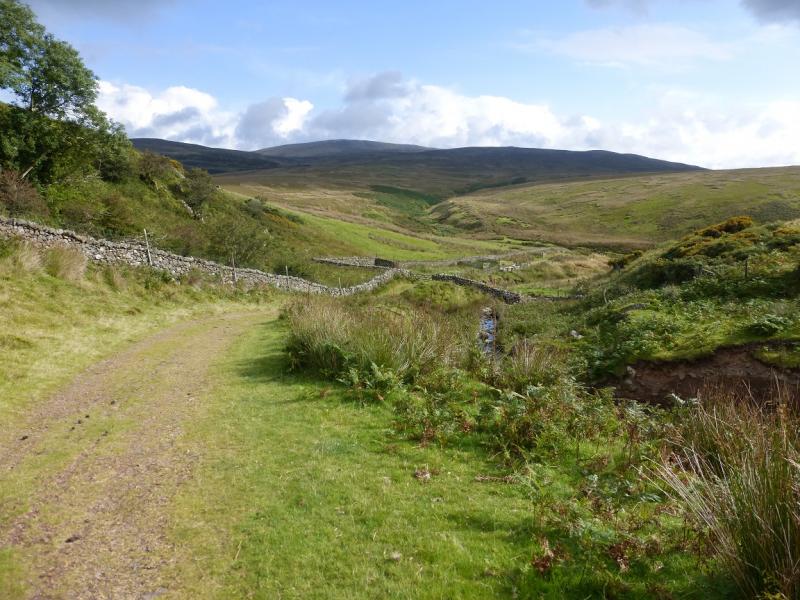
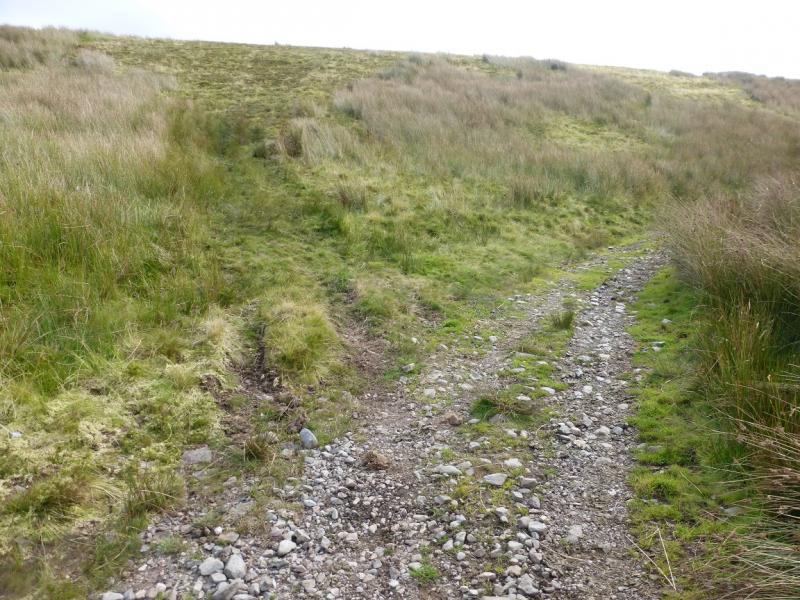
(2) Descend S down a broad ridge with scattered stony areas. Pass a cairn then continue down to cross Swarth Beck almost at its foot. A path/track is joined here and this can be followed SW above Worm Gill. The track is in a poor state and flooded in places; it also climbs steadily. After about 1 km, it turns roughly W and eventually leads to the cairn with a pole in it. About here the track becomes very difficult to follow but, if it is lost, continue roughly W to reach the main track which leads back to the wooden bridge and then to the start.
Notes
(a) This walk took place on 15th September, 2015.
Photos - Hover over photo for caption. Click on to enlarge. Click on again to reduce.