Get Lost Mountaineering
You are here: England » Lake District » 1 Eastern Fells
Catstye Cam by NW ridge, Helvellyn via Swirral Edge, Striding Edge & Birkhouse Moor from Glenridding
Catstye Cam by NW ridge, Helvellyn via Swirral Edge, Striding Edge & Birkhouse Moor from Glenridding
Start/Finish
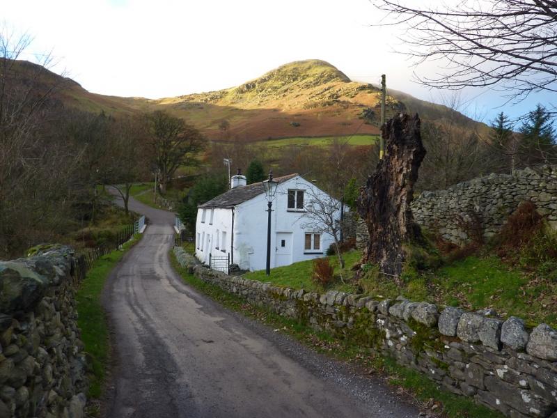
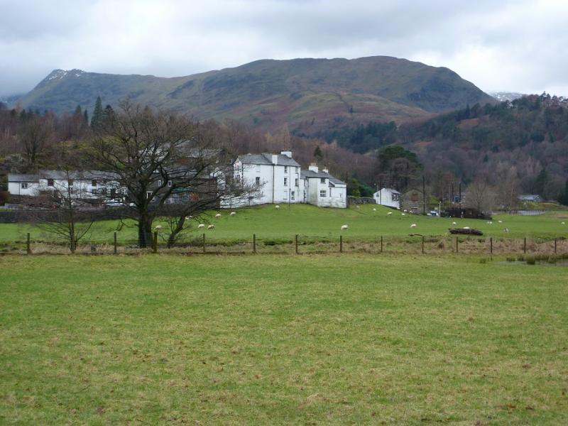
Glenridding Village at the south end of Ullswater. There is an expensive public car park, with the same charges all year round (£8 per day in 2015), but out of season parking (1st November to Good Friday) is allowed on some nearby roads. Please do not park where residents could be inconvenienced.
Distance/Time
12 km About 6 – 7 hours
Peaks
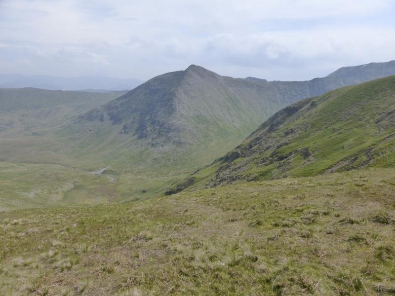
Catstye Cam, 890 m, NY 348 158.
Helvellyn, 950 m, NY 342 151. OS 1: 50 000, Sheet 90.
OS 1: 25 000 Outdoor Leisure 5, English Lake District NE Area.
Introduction
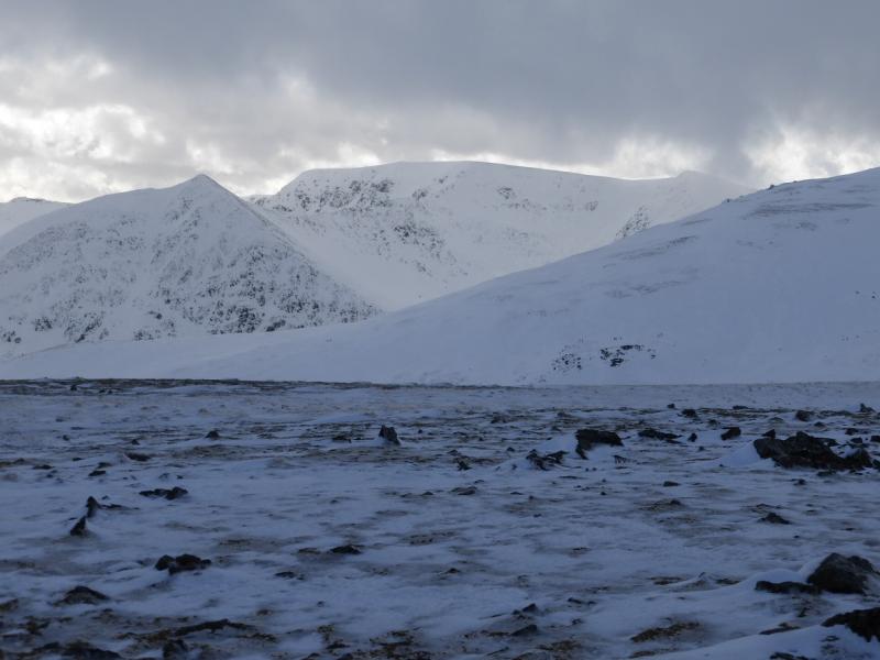
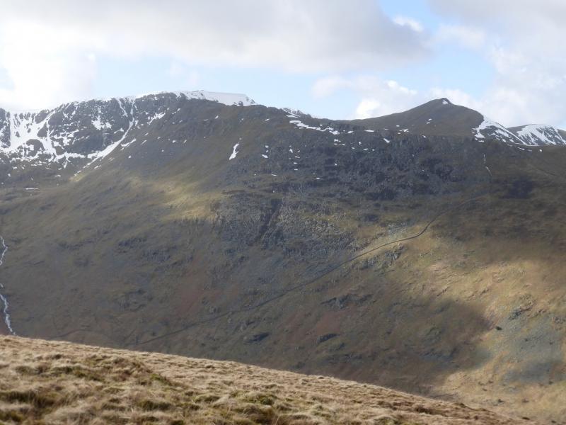
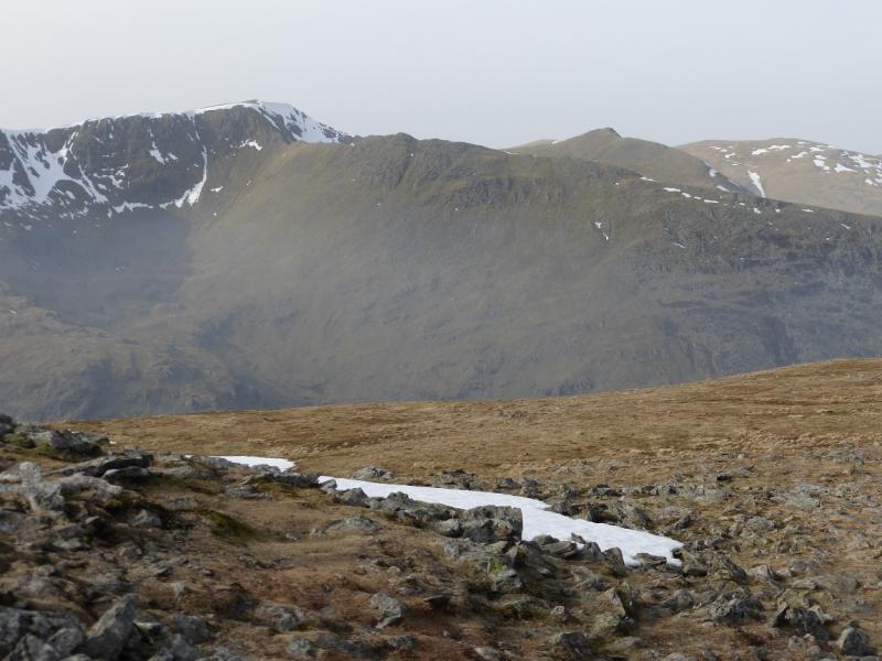
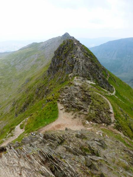
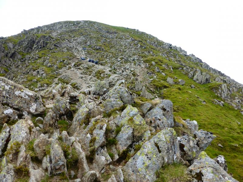
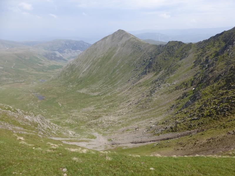
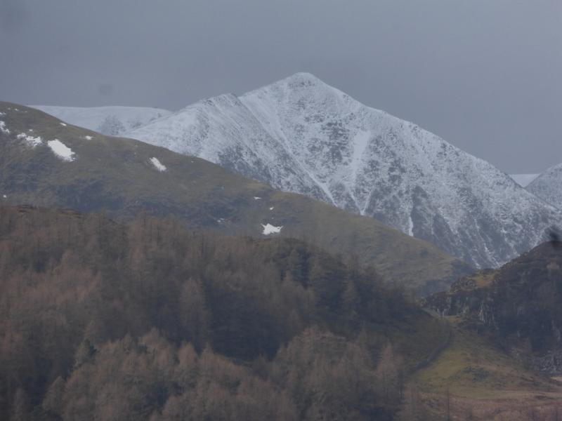
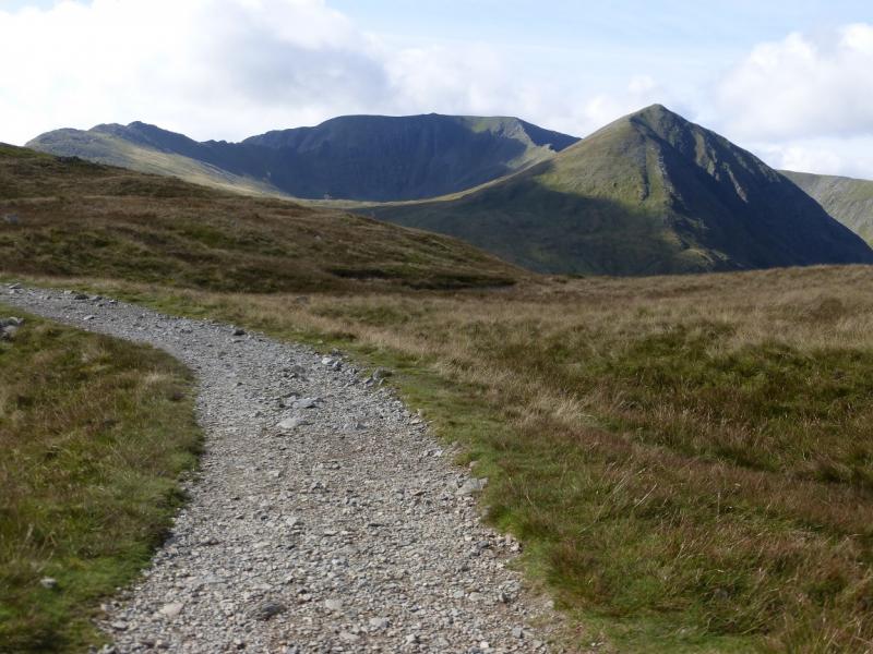
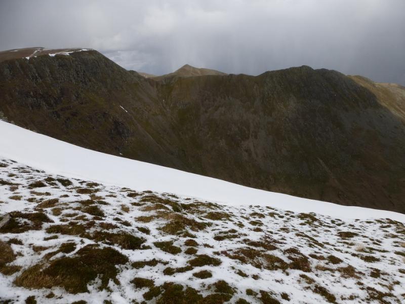
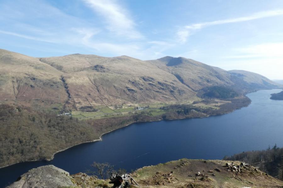
This is a shortish walk, ideal for a mid-winter's day. However, the ascent of Swirral Edge and the descent via Striding Edge are major undertakings in winter conditions and are only for the experienced winter walker under such conditions. Having said that, if there is no snow or ice and it is a dry and clear day, this route should be well within the capability of an experienced summer walker who, in mid-week, could have the mountains to himself whereas in summer, the route can be exceptionally busy. Despite its reputation, Swirral Edge is relatively straight forward if the rock is dry. There are several paths below the crest for those who find the crest itself somewhat unnerving. Swirral Edge has a steeper crest but is no more difficult than the less steep crest of Striding Edge and is much shorter than Striding Edge. The NW ridge of Catstye Cam is steep and will be a problem to many in winter conditions although there is a path all the way up. On a clear day, views are extensive to most of the high Lakeland peaks including the Scafell range, Langdale ranges, Skiddaw and Blencathra and the High Street range. Closer hills such as Fairfield, St. Sunday Crag, Sheffield Pike and Place Fell dominate the near landscape.
Route
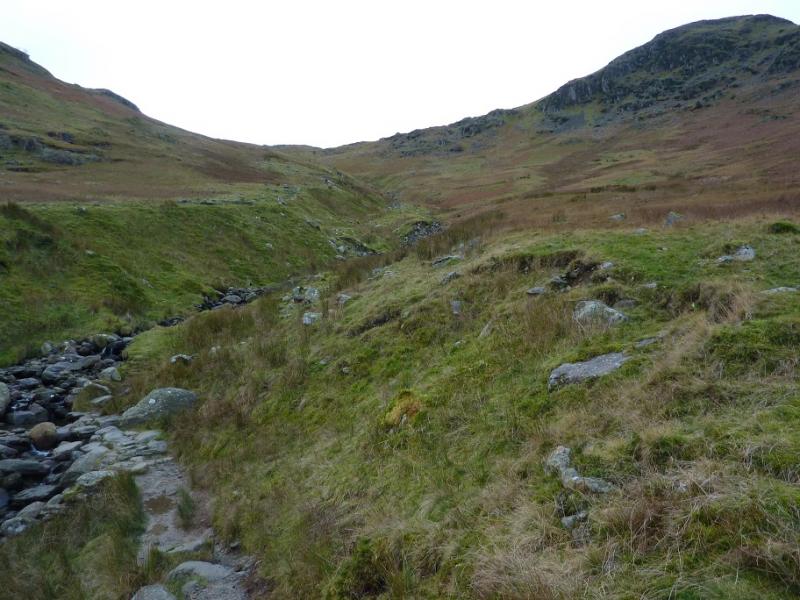
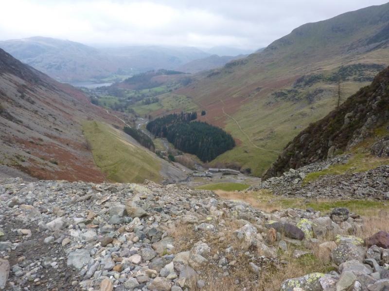
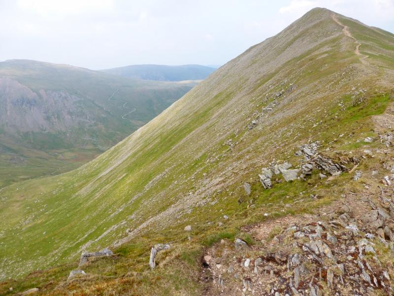
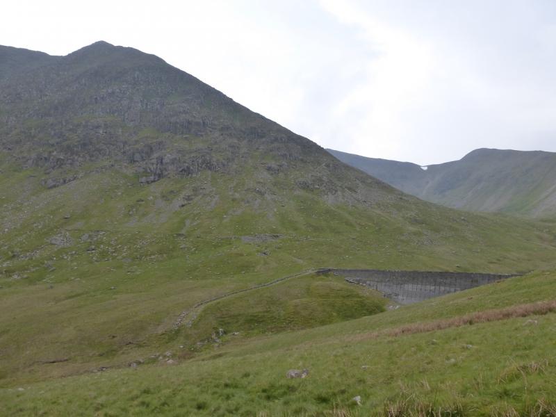
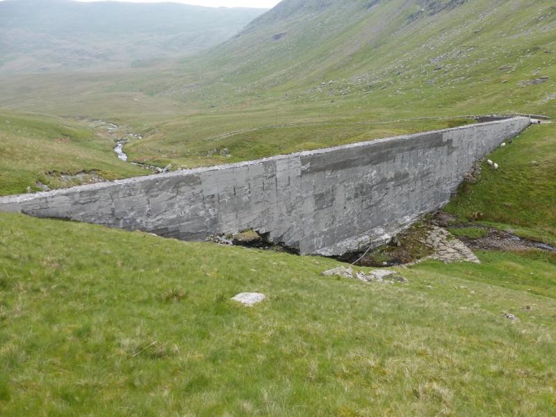
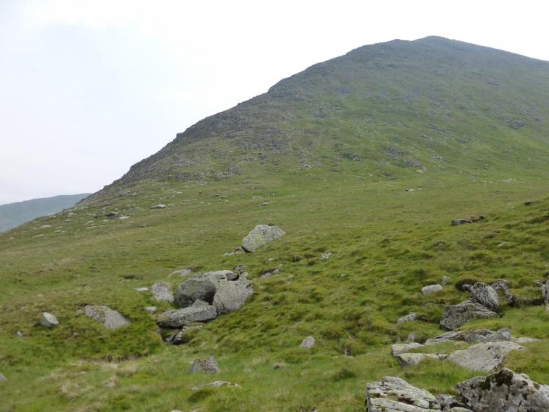
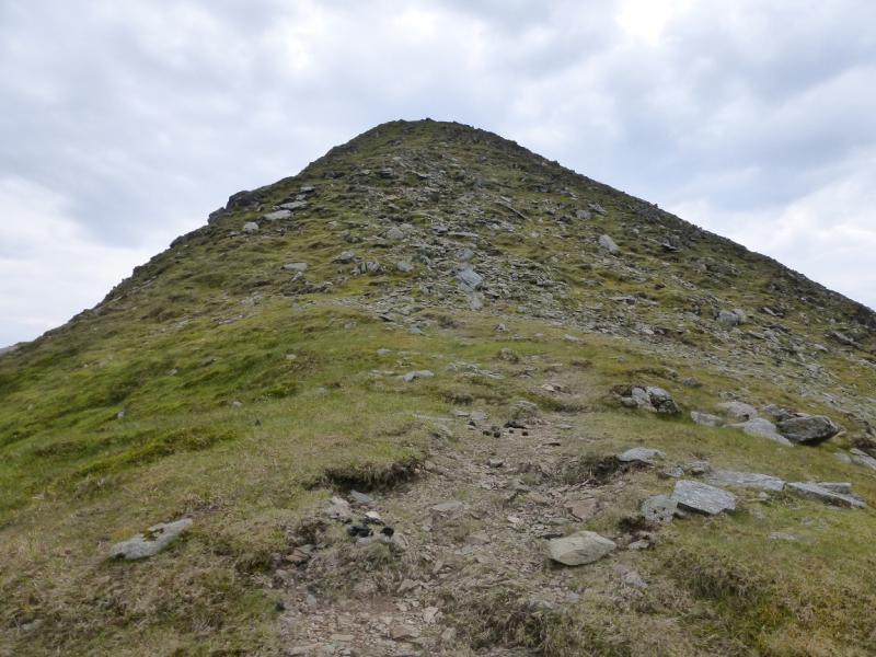
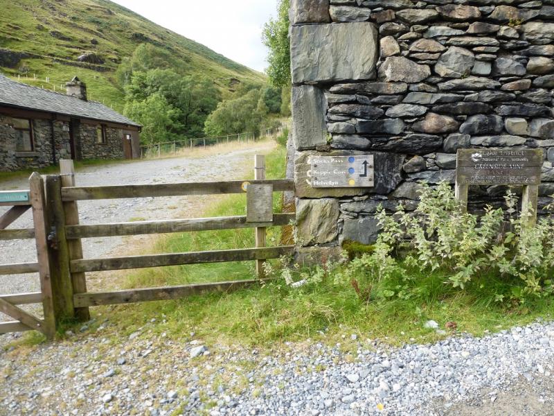
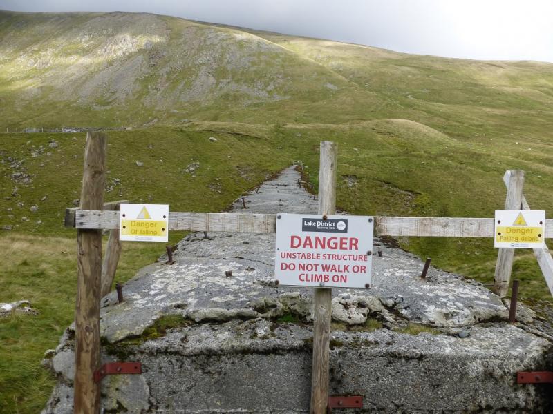
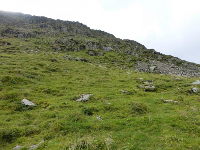
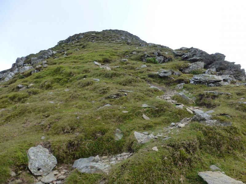
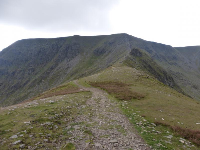
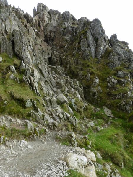
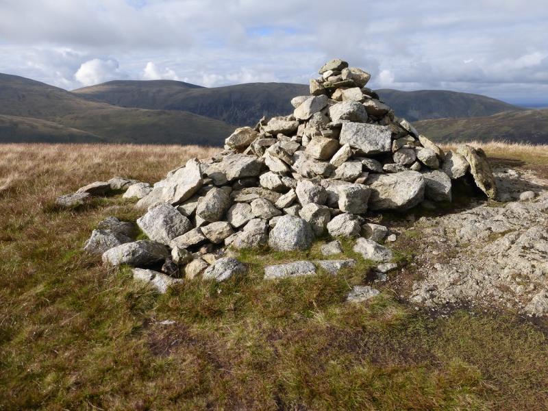
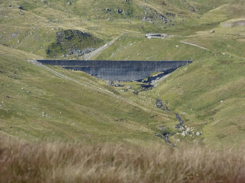
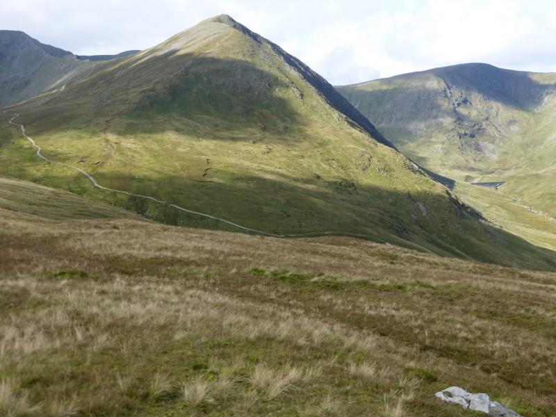
(1) From Glenridding village, walk up the road to the N of the car park and to the N of Glenridding Beck. Continue past the Traveller's Rest public house. When the tarmac road swings right, follow it. It then swings left, passing some houses before becoming a track which continues to the old Greenside mining area where there is a hostel, a school's outdoor centre and a car park for skiers. Go right past here to pick up the higher track which then continues up the valley. Do not cross the bridge after the weir as you will be on the wrong side of the river. About 1.5 km further, go past a track on the right which is the start of the zig-zags up to Whiteside and continue to the old dam. The dam is in a poor state and is unsafe to cross so find a safe crossing point over the stream. The path up the NW ridge starts on the far side of the dam. Pick a way carefully up the steep slopes. Once some height is gained, the path on the steep crest is very obvious and can be followed up to a medium cairn which marks the summit of Catstye Cam, 890 m.
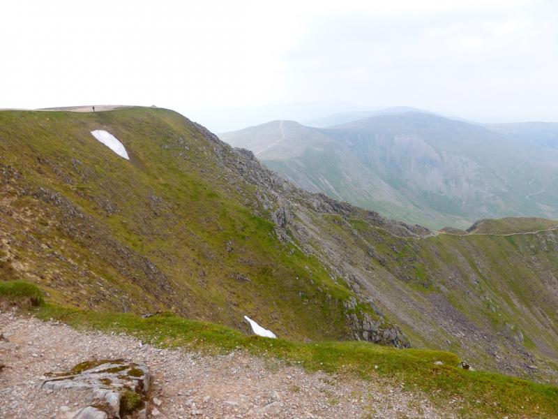
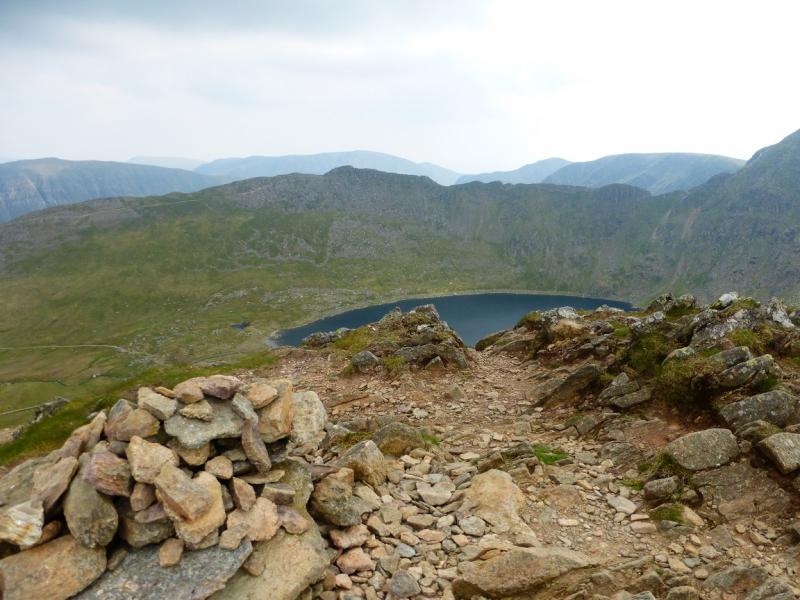
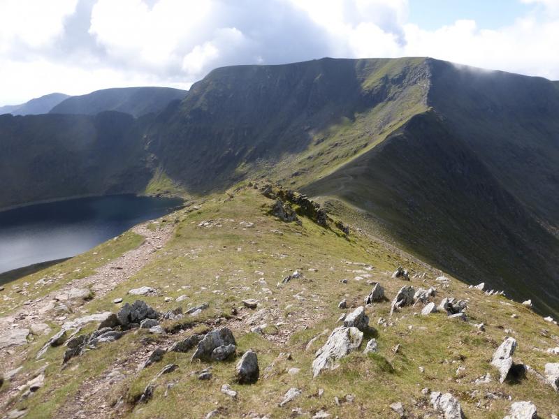
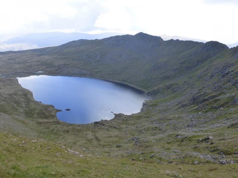
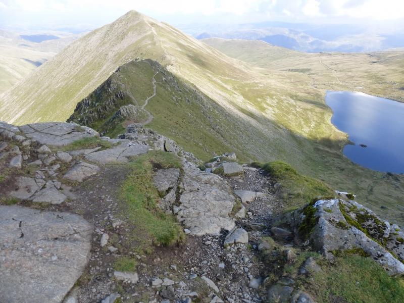
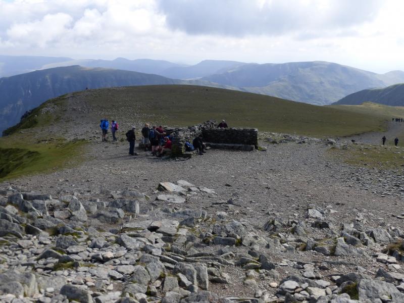
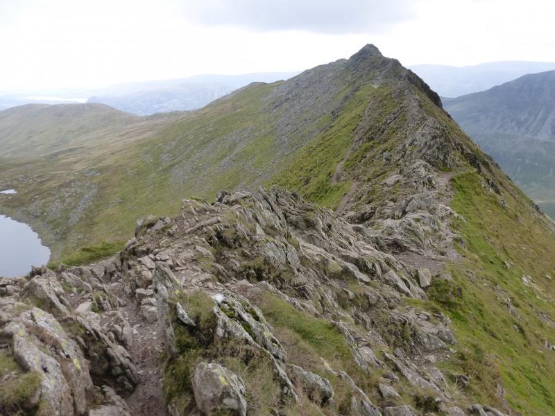
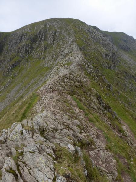
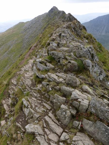
(2) Walk SW from the summit on a more obvious path and follow it down to a col. Continue along the crest to reach the start of Swirral Edge where the crest steepens and becomes much more rocky. Pick a way up the rocky crest – there is an easier path for some of the way – until a final steep section leads to a large cairn on the edge of the Helvellyn plateau. Turn left, S, and follow the edge to the trig point. A little further is a large cairn which marks the summit of Helvellyn, 950 m. A little further still is a good shelter cairn in the shape of a cross which, if one is in the right quarter, can offer good protection from cold winds.
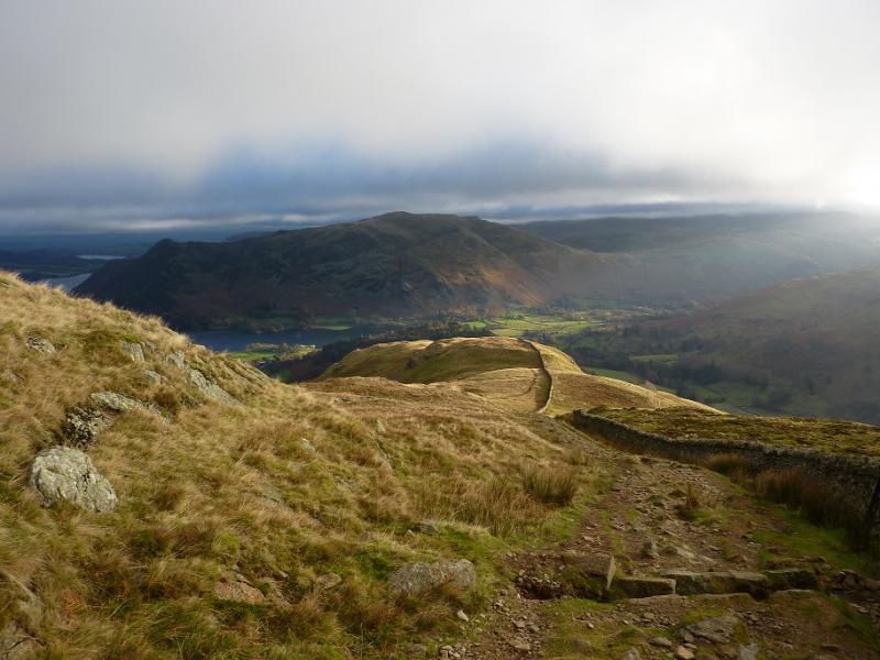
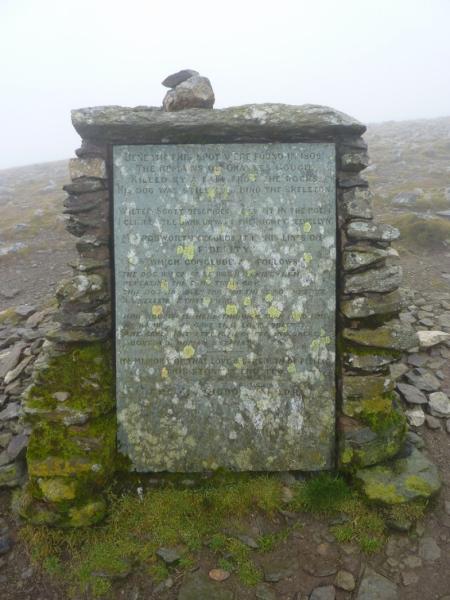
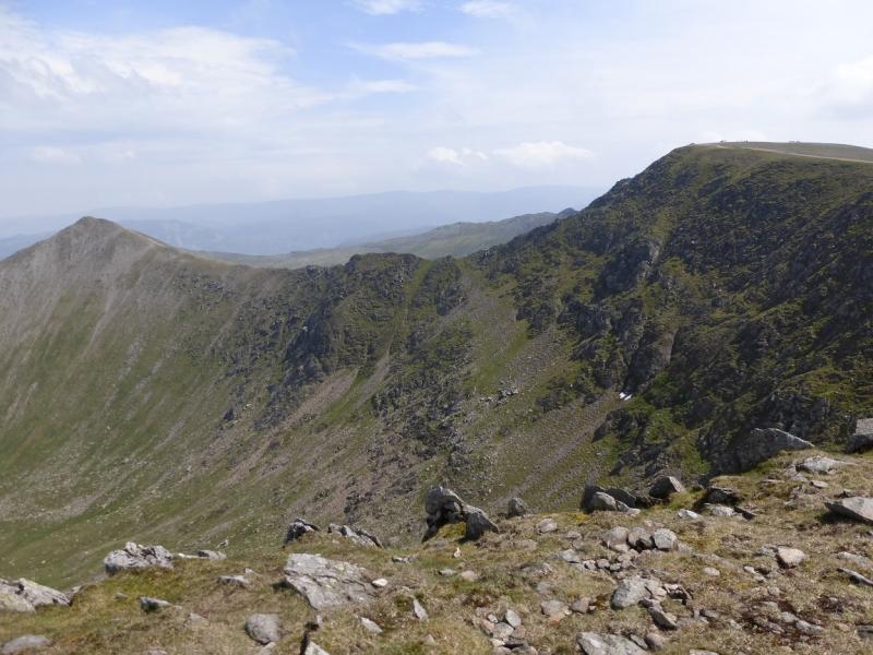
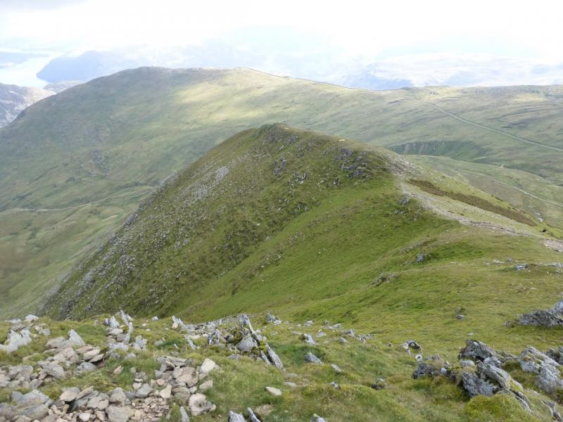
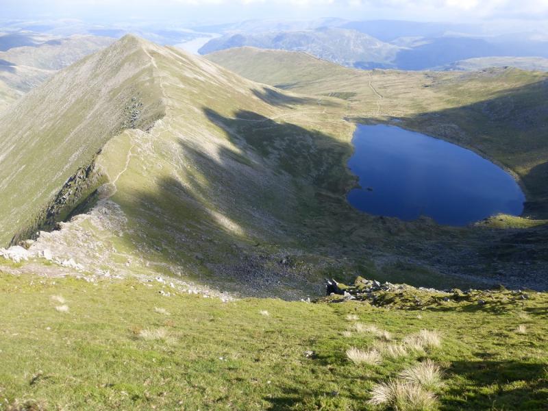
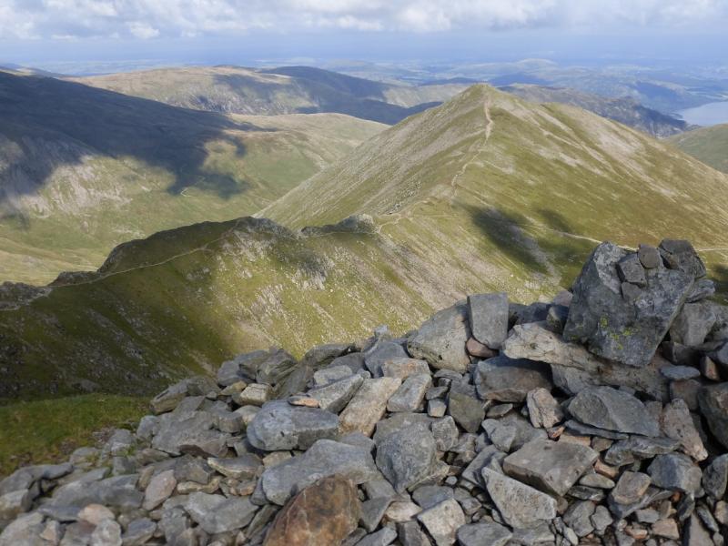
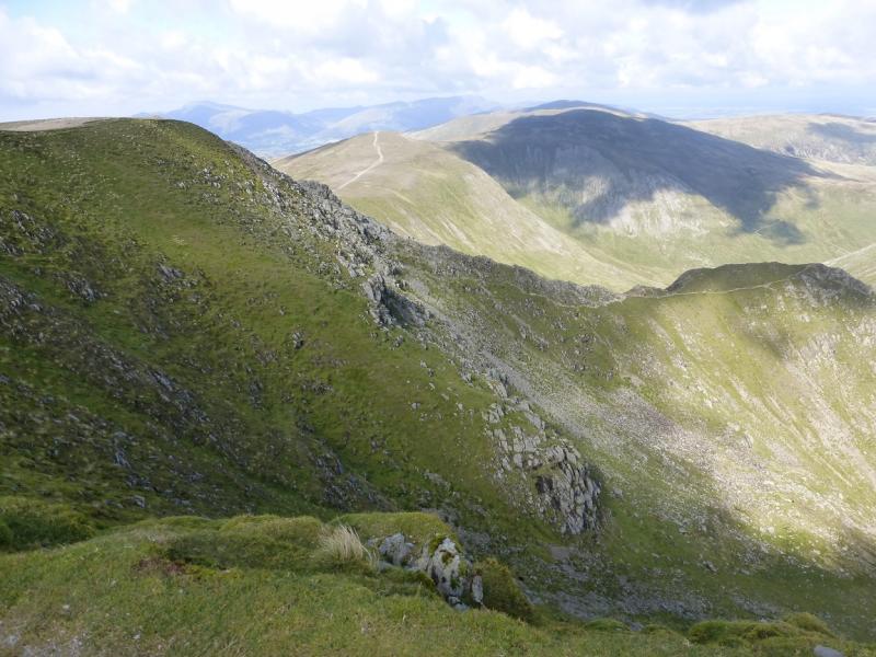
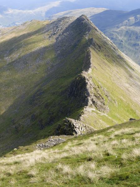
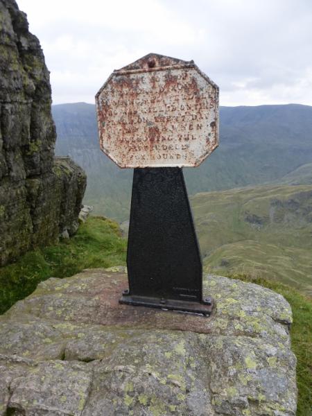
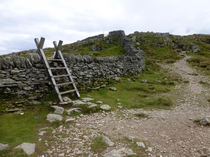
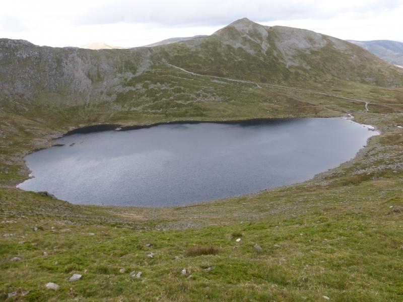
(3) From the shelter cairn, walk roughly S along the path on the eastern edge which overlooks Red Tarn. This path gradually drifts left away from the main path, heading due S, to Nethermost Pike. A stone memorial is passed just before the path descends towards Striding Edge. There are numerous routes down but there is a lot of loose rock and scree. An average walker should have no difficulties if the descent is taken slowly and carefully. Eventually arrive, after a final minor top, at the col before Striding Edge. The usual route up on to the edge is by an easy angled rock groove which is mainly a series of rock steps although to some it may look like a scramble or even a climb. It is short and there are lots and lots of hand and foot holds. Those wishing to avoid it can follow a path around to the right, S, of the rock groove. Once on the crest, there are many possibilities. Some will want to stay on the crest as much as possible, others will readily accept the avoiding paths which are often on the left. The crest is quite rocky but is mainly a walk requiring good balance. Reach the highest point on Striding Edge which has no cairn, passing a memorial on the way which is on the right near some boulders and not obvious to those using the avoiding paths on the left. From the highest point, the ridge becomes easier and leads down to merge with the main avoiding path and then the major path coming up from Red Tarn. A wall is soon met which has a “hole” in it with a stile; this is the “Hole in the Wall”. Do not cross the stile but stay on the left, NW, of the wall. The path ascends about 30 m to a cairn which seems to be the highest point on Birkhouse Moor. Continue on the very obvious path heading roughly NE. When the path swings E, continue for a few hundred metres, on an obvious, grassy path, to reach a cairn which is a fine viewpoint down Ullswater. Retrace to the main path and follow it as it zig-zags down to a flatter section with a wall running down to the right (not always visible). From the flatter section, the path swings NE and starts the descent which will soon be alongside Mires Beck. This path has been improved and is stepped for some of the way. At the bottom, the path eventually leads, trending right, to a track then the end of a tarmac road. Descend this (left) but do not cross the river at Rattlebeck Bridge. Instead, take the track on the right just before the bridge and follow it past the camp site. It leads down to Glenridding on the opposite side of the beck to the National Park car park.
Notes
(a) This walk took place on 18th September, 2015.
Photos - Hover over photo for caption. Click on to enlarge. Click on again to reduce.