Get Lost Mountaineering
You are here: Scotland » 03 North-west Argyll, Appin and Glencoe » Blackmount & East of Glen Etive
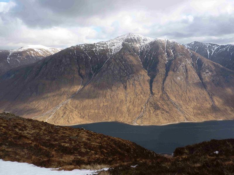
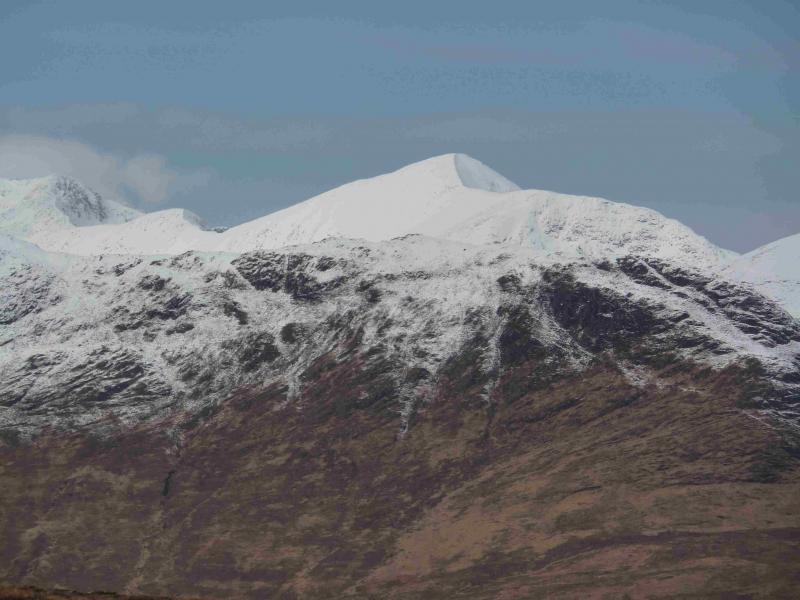
Ben Starav, Glas Bheinn Mhor & Beinn nan Aighenan
Ben Starav (& tops), Beinn nan Aighenan & Glas Bheinn Mhor
from lower Glen Etive
Start/Finish
Small “car park” (holds about 4 cars) at about NN 137 468 in lower Glen Etive. This is just before the track which cuts back down to the River Etive to Coiletin and about 2 miles before Loch Etive.
Distance/Time
22 km Approx 12 hours
Peaks
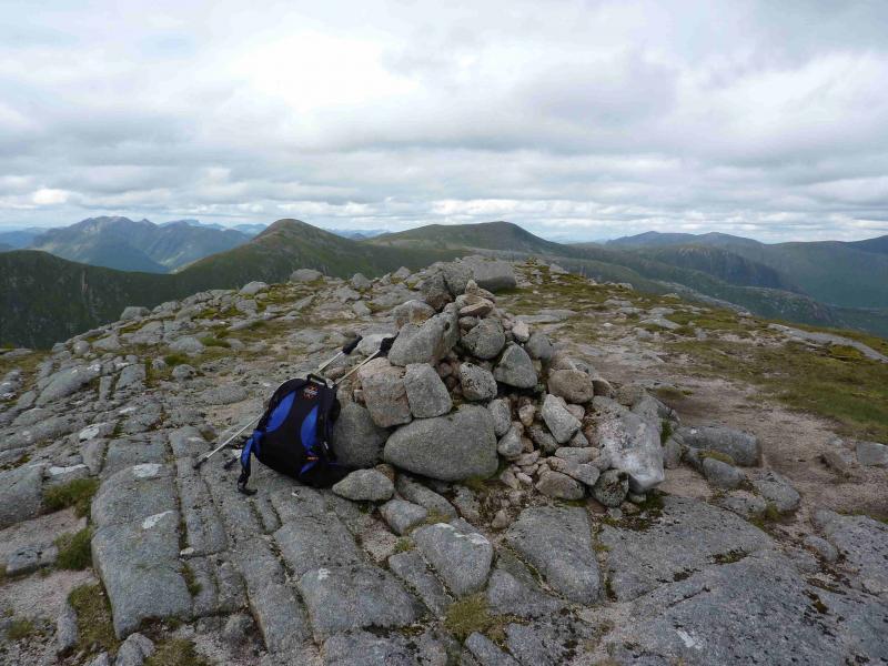
Ben Starav, 1078 m, NN 125 427.
(Stob Coire Dheirg, 1028 m, NN 131 426).
Meall Cruidh, 930 m, NN 129 415.
Ston an Duine Ruaidh, 918 m, NN 124 410.
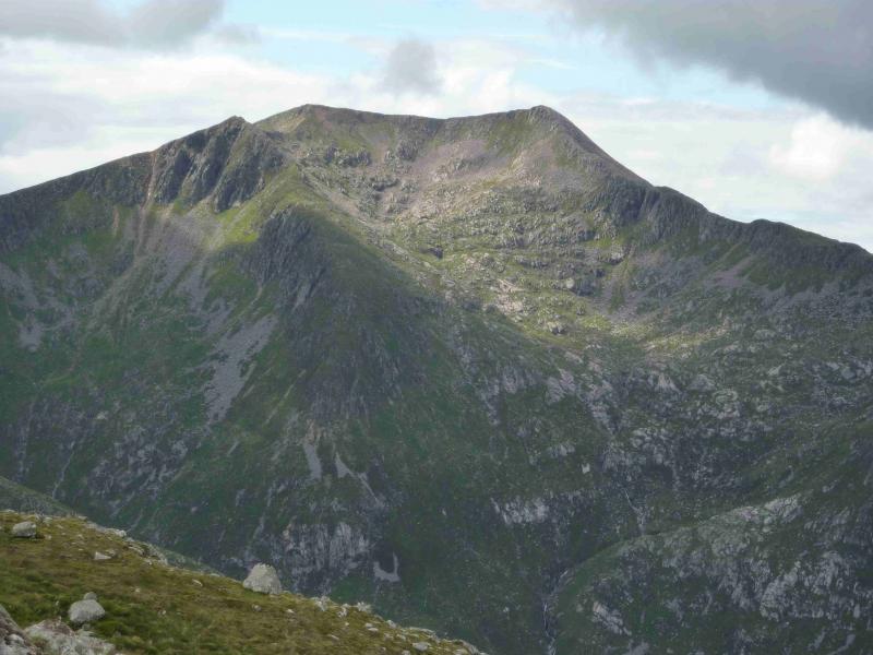
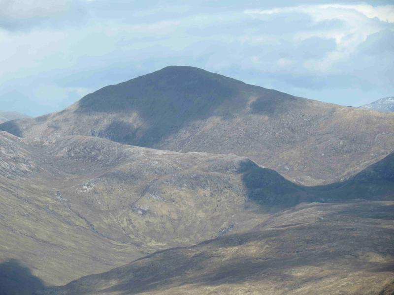
Beinn nan Aighenan, 960 m, NN 148 405.
Glas Bheinn Mhor, 997 m, NN 153 429. OS Sheet 50.
Introduction
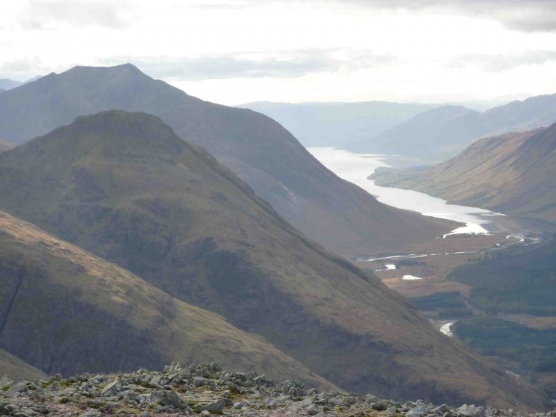
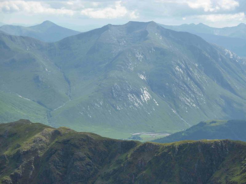
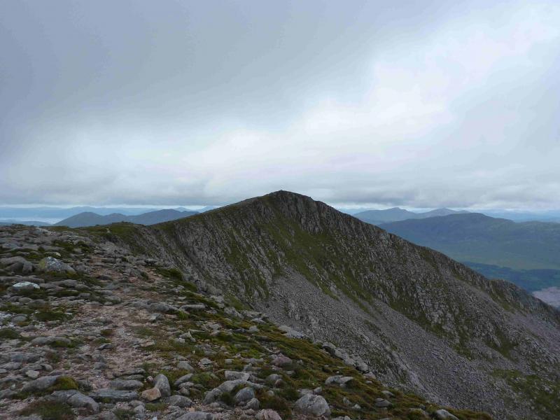
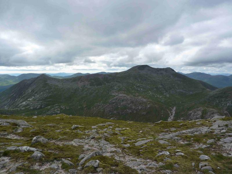
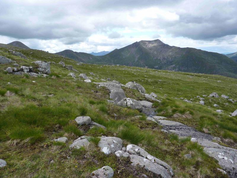
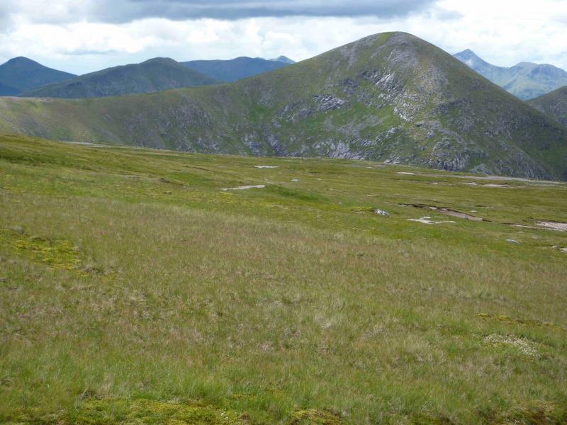
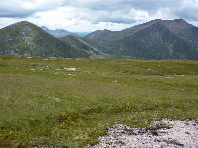
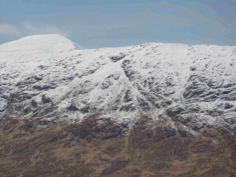
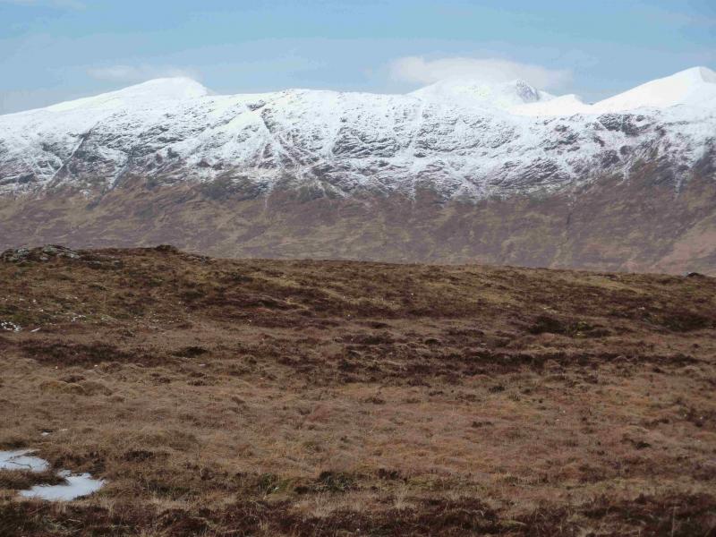
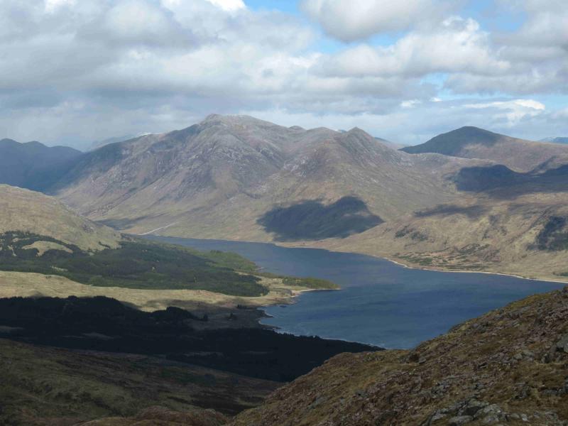
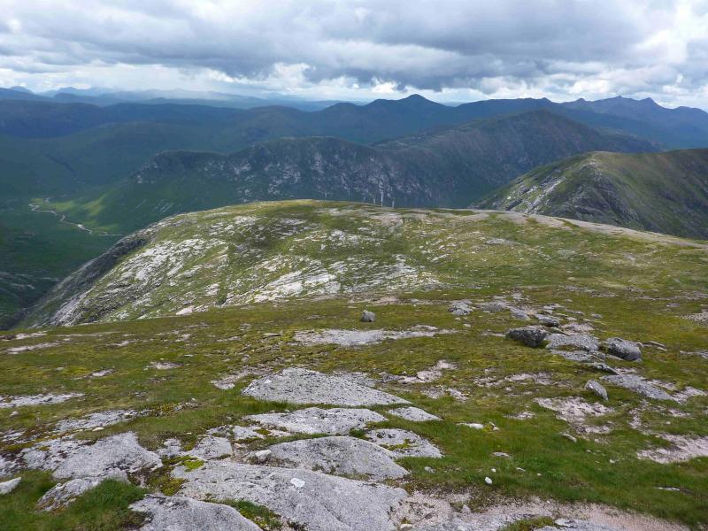
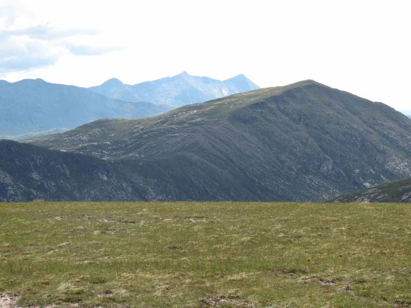
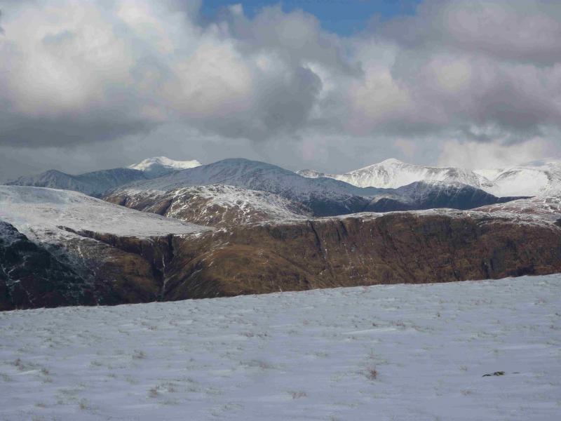
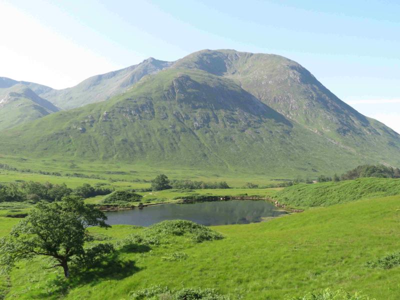
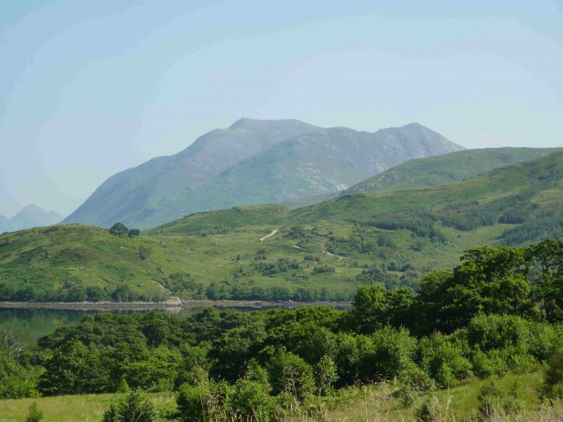
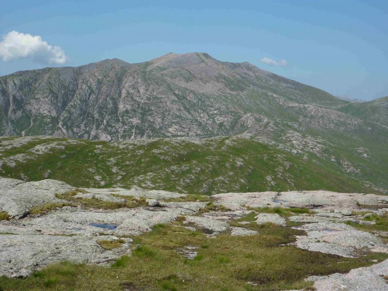
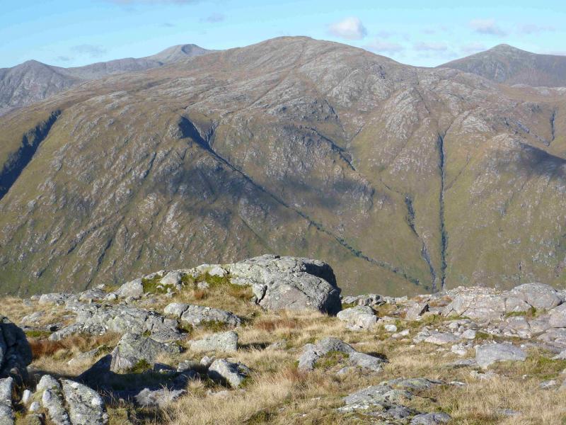
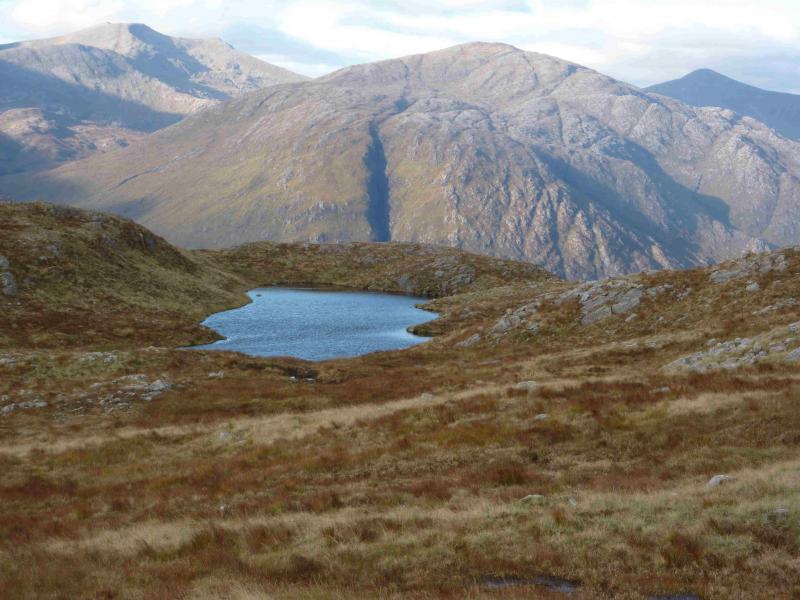
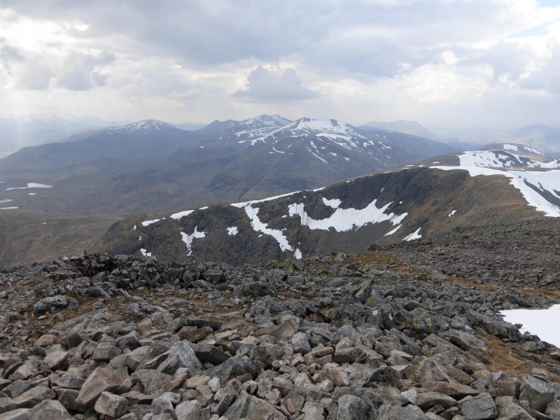
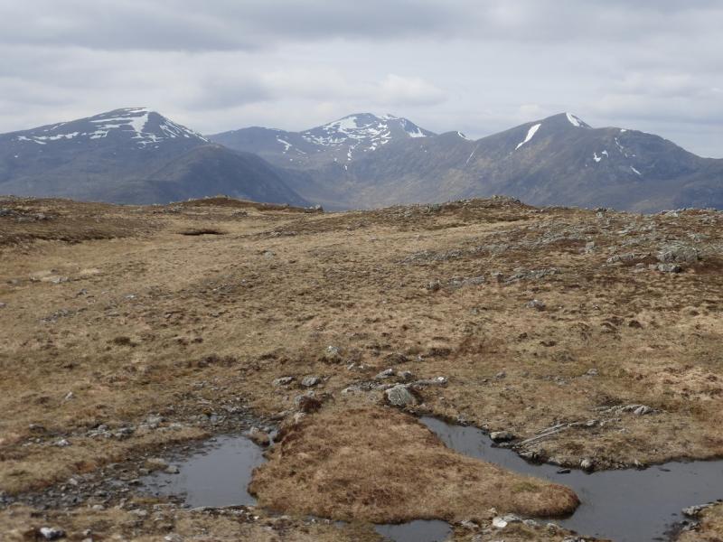
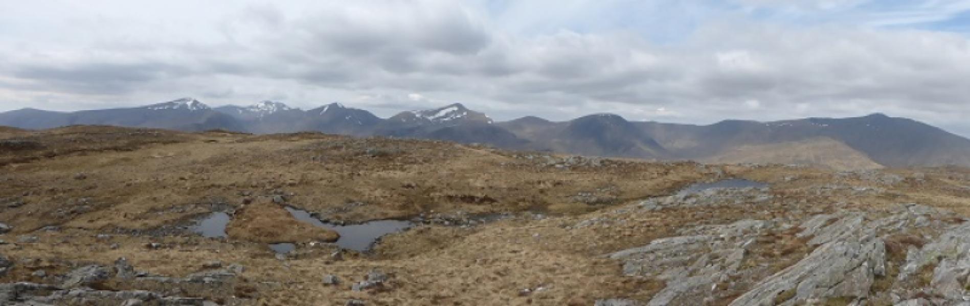
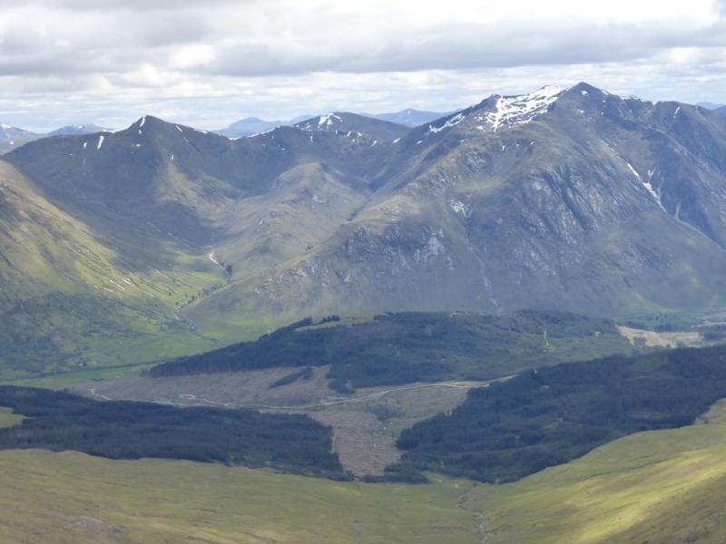
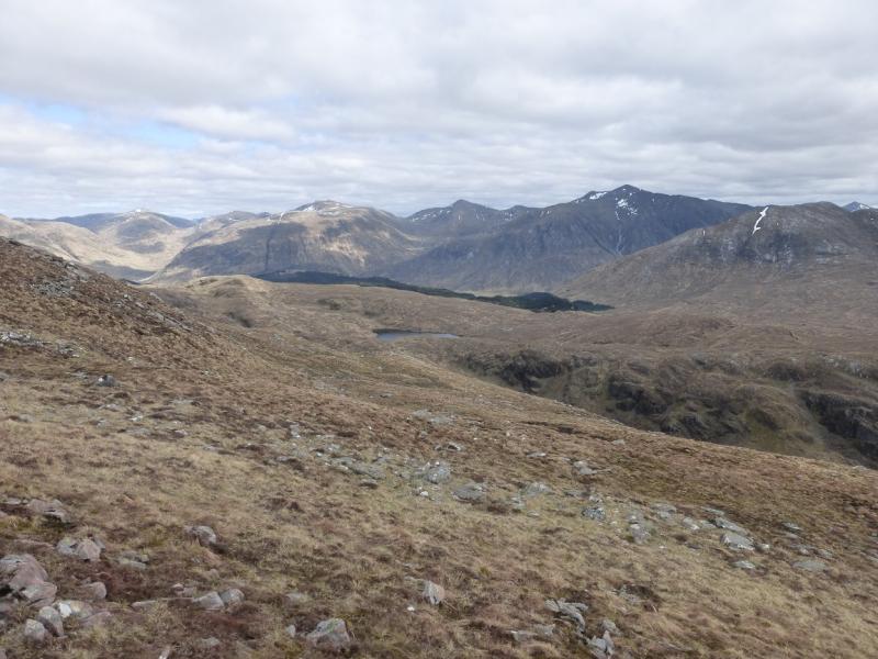
This is a very strenuous walk over lots of rough and boggy ground. Its seriousness should not be underestimated. All the tops of Ben Starav, apart from Stob Coire Dheirg are visited and this top could also be included. The return from Glas Bheinn Mhor is rough and, in the lower glen, very boggy. On a clear day, the views are as good as they get with all the Glencoe and Blackmount peaks visible plus Ben Nevis and Ben Cruachan.
Route
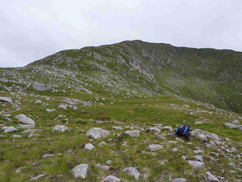
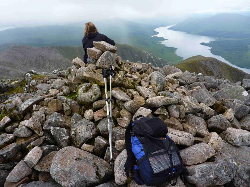
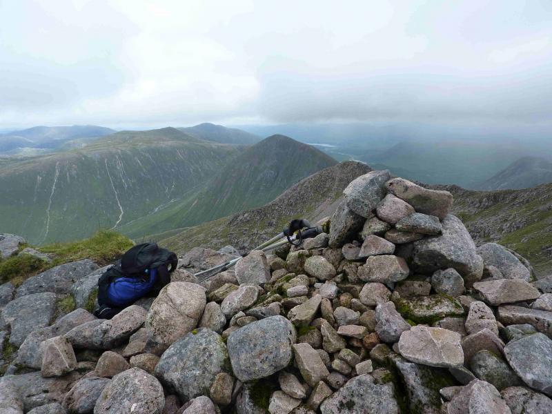
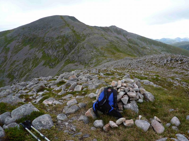
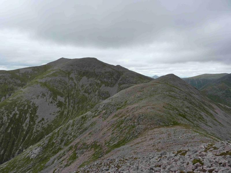
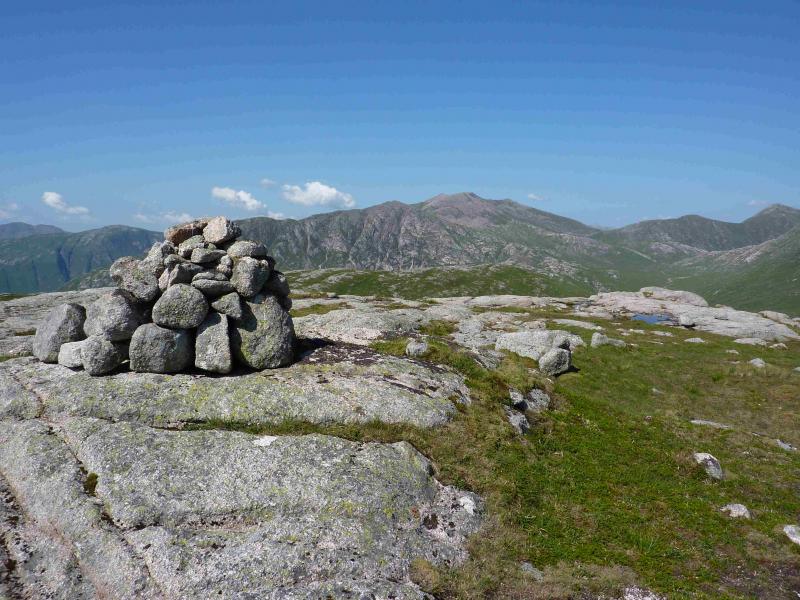
(1) From the car park, walk about 50 m towards Loch Etive then take the track down to the bridge over the River Etive. Continue across the bridge, ignoring the left turn, to reach the boundary of the renovated, and now inhabited, cottage at Coiletin. Walkers are now directed around the boundary fence which is quite wet and boggy in places. Once back on the proper path (no longer a track), follow this to the bridge over the Allt Mheuran and walk up the boggy path on the opposite bank. The most distinct path goes over the N ridge of Ben Starav and follows the Allt nam Meirleach. It is easy to miss the path going up the N ridge of Ben Starav but once located it is quite distinct and climbs the N ridge. A few shoulders ease the grind of the long ascent. The last 100 m go through a boulder field and the path becomes intermittent before emerging on to the plateau where there is a medium cairn which is the summit of Ben Starav, 1078 m.
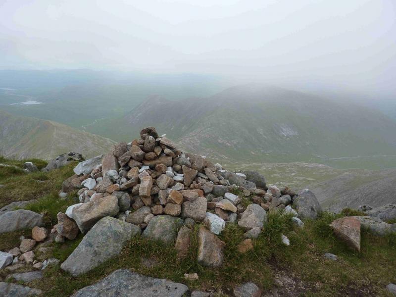
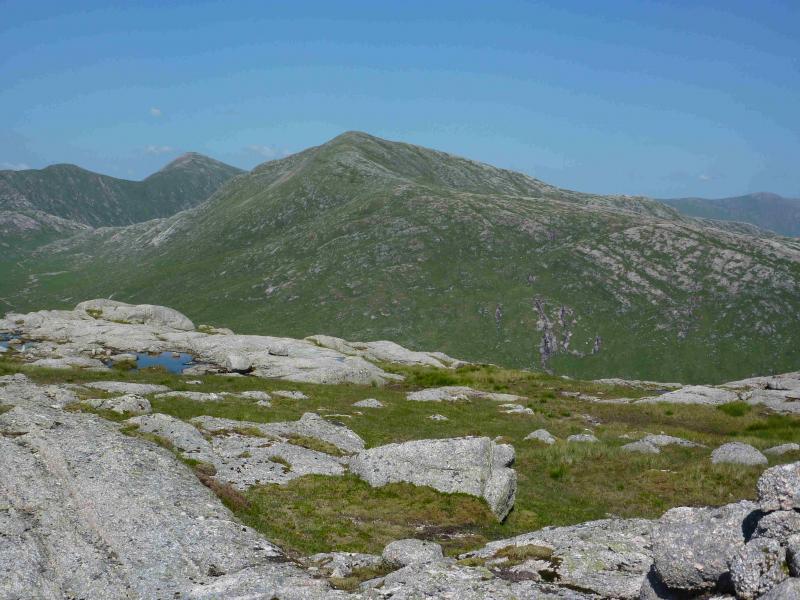
(2) Walk SE along the rim of the plateau to another cairn then descend SSE then S down a gentle ridge. There is a faint path through the stony areas but a grassy strip on the right, W, may be a better option although this has to be left before the bealach. Continue along the ridge to a bealach and climb up easy slopes on the other side to reach the medium cairn which is the summit of Meall Cruidh, 930 m.
(3) Descend roughly SW into another bealach and ascend the other side to the medium cairn which is the summit of the pointed peak Stob an Duine Ruaidh, 918 m.
(4) On a clear day, one can take a direct route to the foot of Beinn nan Aighenan. Walk roughly ENE over generally pleasant grassy ground. Aim for the right flat spot of two at the bottom of the N ridge of Beinn nan Aighenan. This involves crossing the Allt Hallater, high up, which, at the most likely crossing point, flows through a small rocky gorge which should present no problem. In poor visibility, it is recommended to retrace back to Ben Starav and down the ridge to Stob Coire Dheirg but this would add about an extra hour. Walk up the distinct path on its N ridge to reach the medium cairn which is the summit of Beinn nan Aighenan, 960 m.
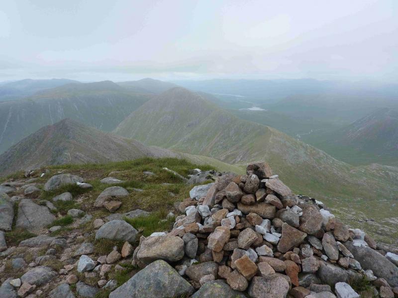
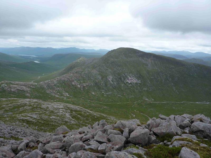
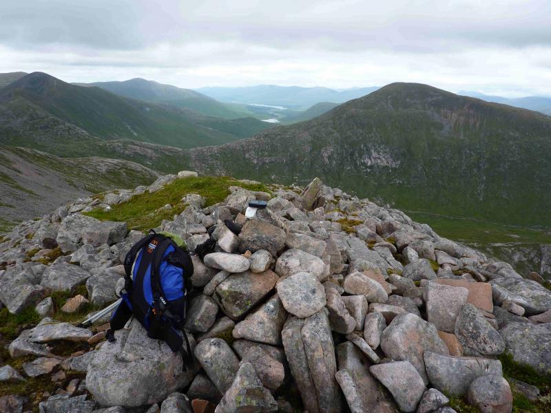
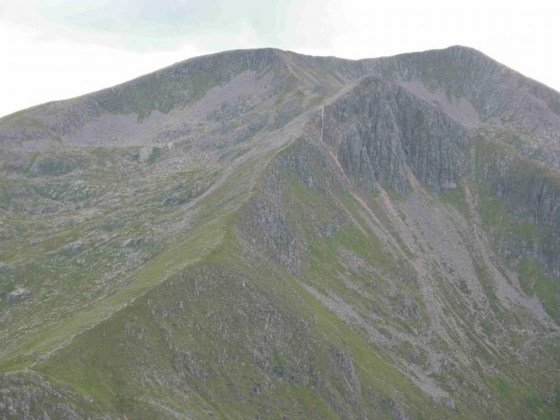
(5) Retrace down the N ridge into the deep bealach then follow the path up to the bealach between Ben Starav and Glas Bheinn Mhor. Turn right, E, and follow the distinct path up Meall nan Tri Tighearnan where there is a cairn. Continue on the path, descending some way into a grassy bealach the climb out the other side to reach the medium cairn which is the summit of Glas Bheinn Mhor, 997 m.
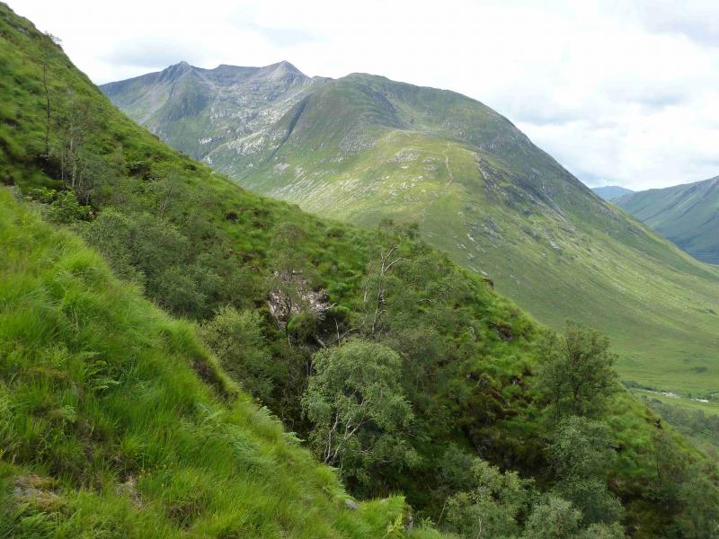
(6) The direct descent NW is too steep and craggy so continue E, still on the path which eventually turns NE and descends to the bealach between Glas Bheinn Mhor and Stob Coir' an Albannaich. Turn left and follow the path NW down the glen. Lower down the path becomes less distinct and very boggy even in a dry spell! At the bottom, the path can disappear into ferns during the summer where faint paths go across the rough moorland to join the outward route.
Notes
(a) This walk took place on 20th July, 2011, and 3rd August, 1994.
(b) To include Stob Coire Dheirg means either diverting to it from Ben Starav then retracing before going to Meall Cruidh or retracing from Stob an Duine Ruaidh to Ben Starav. Its inclusion could add about an hour although it is shorter and quicker to access it before going to Meall Cruidh.
(c) Omitting Meall Cruidh and Stob an Duine Ruaidh saves about an hour if the direct route to Beinn nan Aighenan is used or about two hours if the route is retraced to Ben Starav.
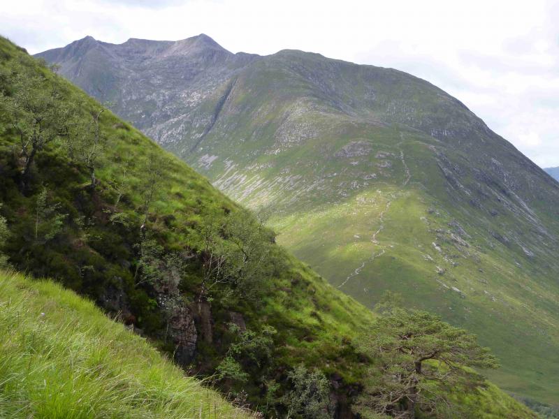
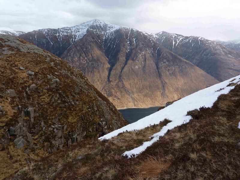
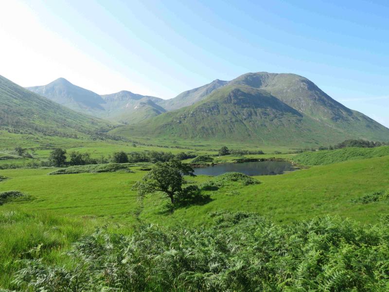
Photos - Hover over photo for caption. Click on to enlarge. Click on again to reduce.