Get Lost Mountaineering
You are here: Scotland » 00 Galloway and the Borders » Dumfries and Galloway Hills
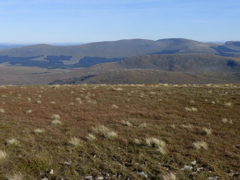
Corran of Portmark, Bow, Meaul & Cairnsgarroch from Bridge-end
Corran of Portmark, Bow, Meaul & Cairnsgarroch from Bridge-end
Start/Finish
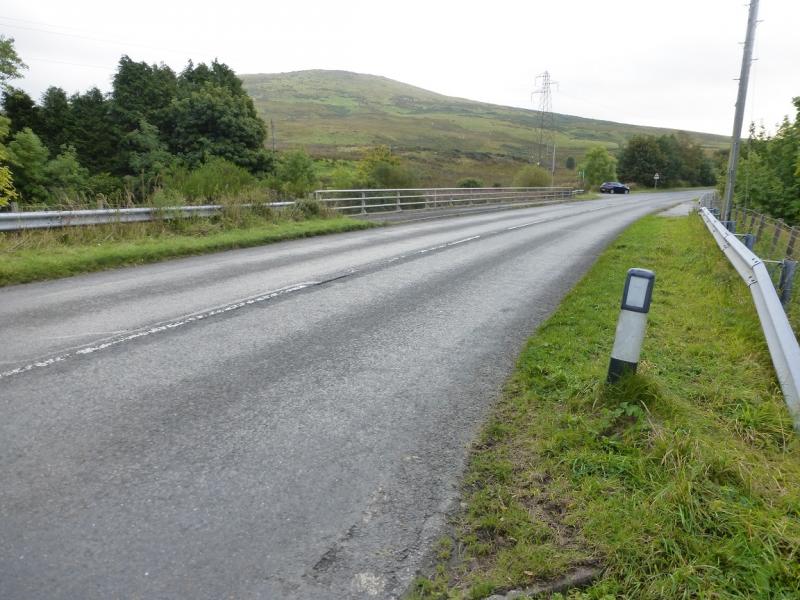
Bridge-end on the A713, Ayr to Castle Douglas road, where the road crosses the Water of Deugh about a mile north of the village of Carsphairn. There is some limited rough off road parking here. There are public toilets on the A713 in Carsphairn. Do not be tempted to drive up the minor road towards Garryhorn as not only is there nowhere to park but also there is nowhere to turn around! The road surface may also damage the underside of your car! It is, however, possible to cycle to the lead mines area.
Distance/Time
17 km About 6 - 7 hours
Peaks
Corran of Portmark, 623 m, NX 509 936.
Bow, 613 m, NX 508 928.
Meaul, 695 m, NX 500 909.
Cairnsgarroch, 659 m, NX 515 913. OS Explorer sheet 318, Galloway Forest North.
Introduction
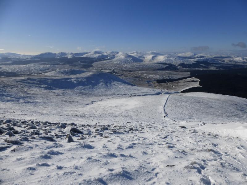
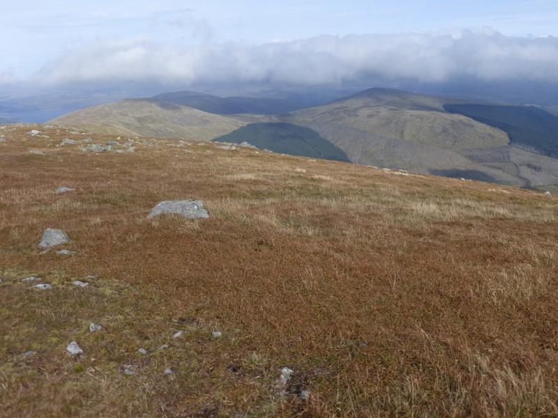
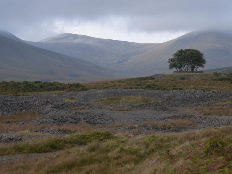
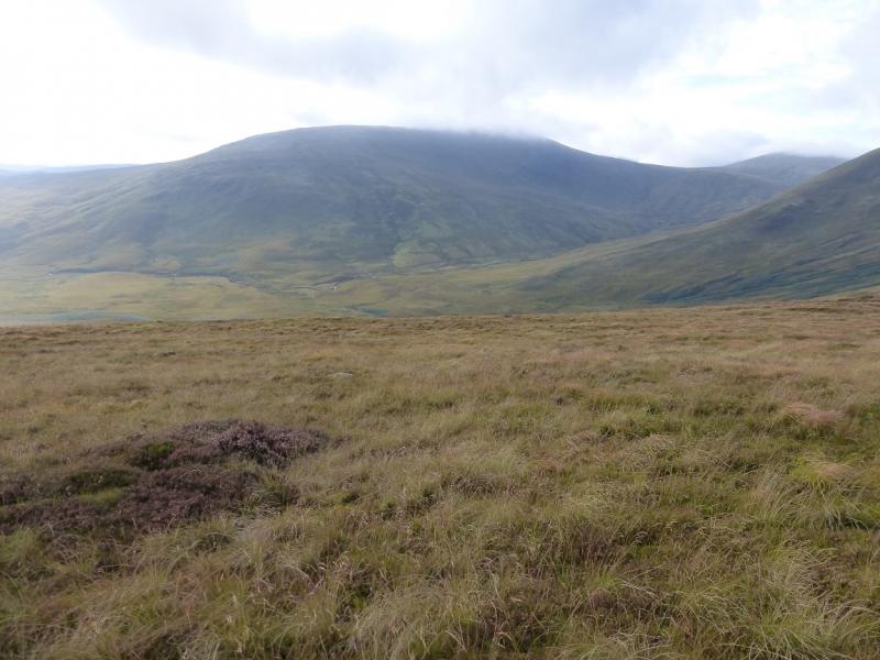
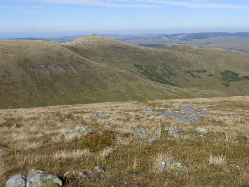
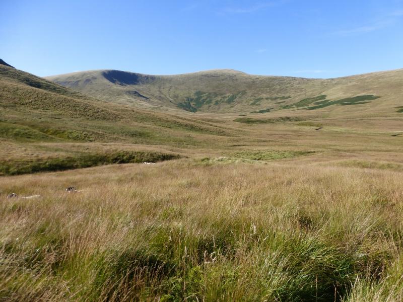
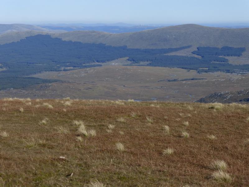
Corserine is the highest point on a long ridge known as the Rhinns of Kells which stretches from Corran of Portmark in the north to Meikle Millyea in the south with Corserine roughly halfway. With suitable transport arrangements, it is possible to walk the whole ridge but with just one car it is better to split the ridge into two sections. This route covers the northern part of the ridge and does not include Corserine which is in the southern half. The whole ridge contains nine distinct tops but Corserine is the only Corbett and there are no Grahams on the ridge as all the other tops have less than 150 m on all sides. However, the ridge contains many Donalds. The lower ground is very rough at this end of the Rhinns of Kells and there is much overgrown grass which is difficult to walk through as one cannot see the ground so not know how far down their foot will go or at what angle it will hit the ground. Much of this grass is in wet areas with much of the water hidden below the grass. The going will be slow and boggy even in a dry spell. The return route crosses the Garryhorn Burn which would be a problem outside of a dry spell. On a clear day, one can see the Merrick range, Craignaw, Dungeon Hill, Mullwharchar and the Cairnsmore of Carspahirn as well as Corserine and Carlin's Cairn. Note that some sources spell Corran (of Portmark) with one “r” and some with two “r” s.
Route
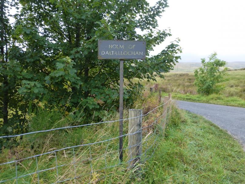
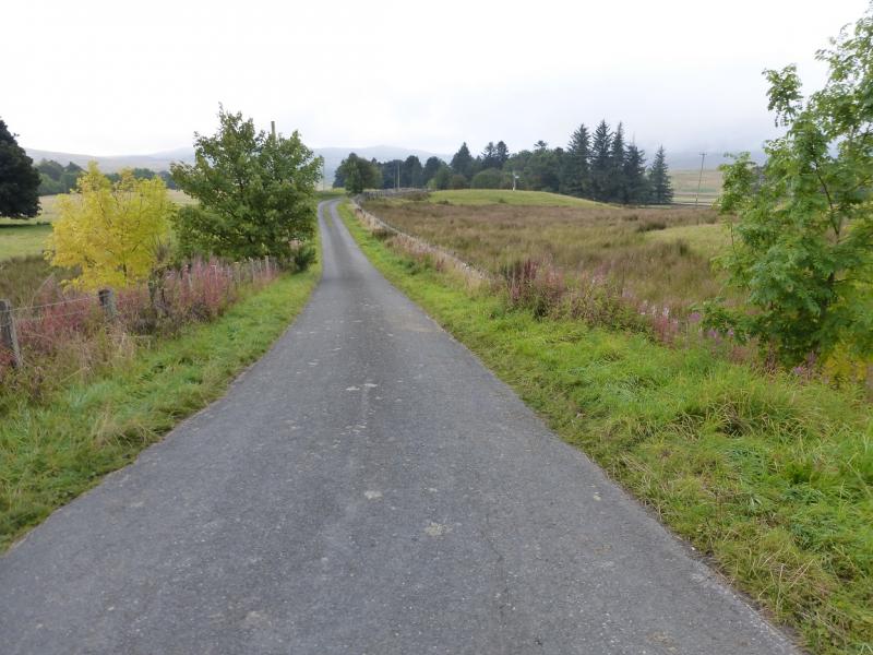
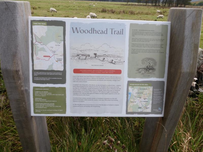
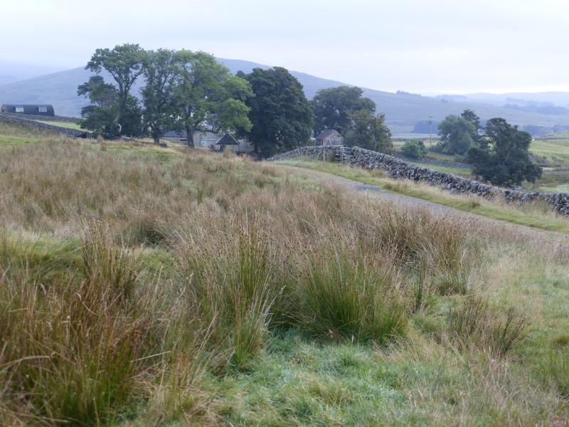
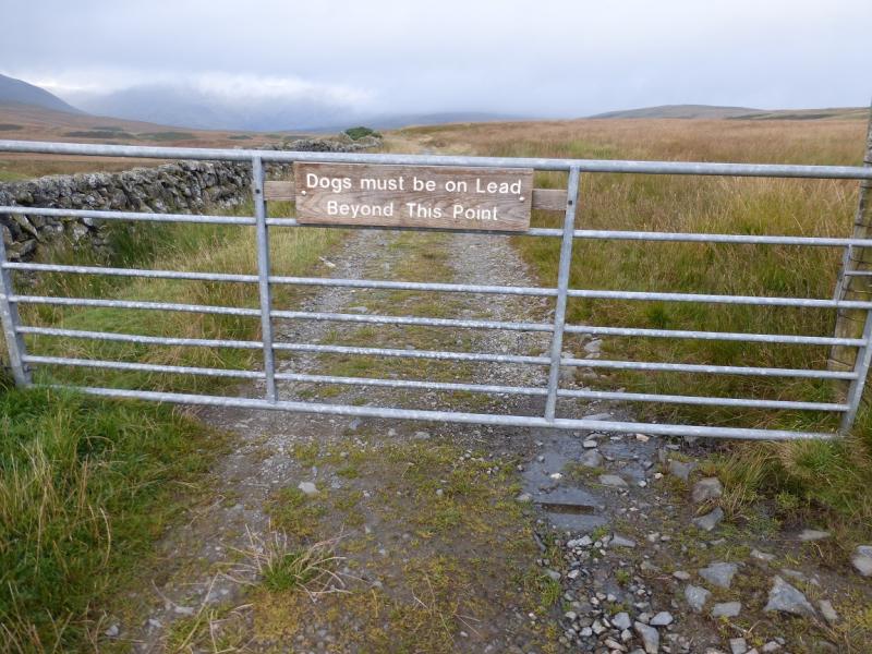
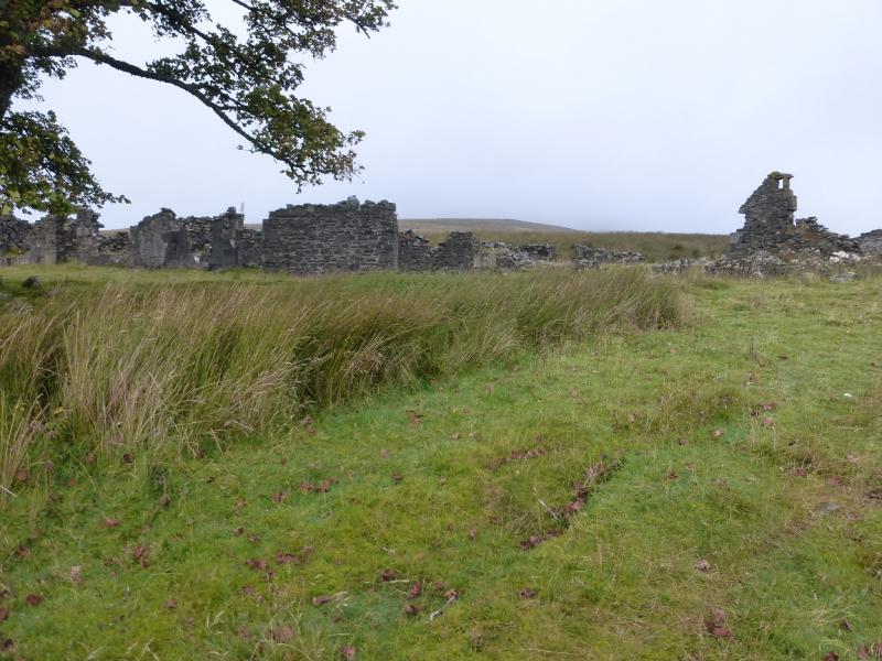
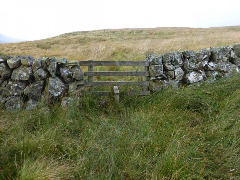
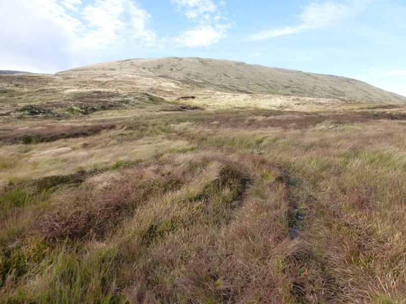
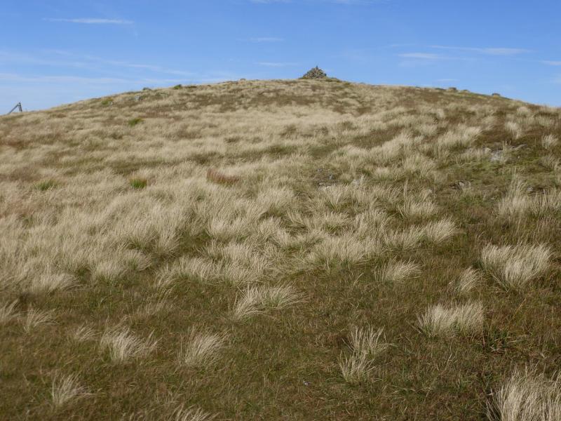
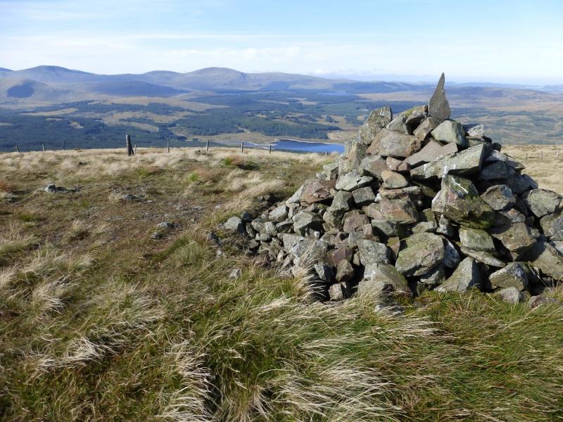
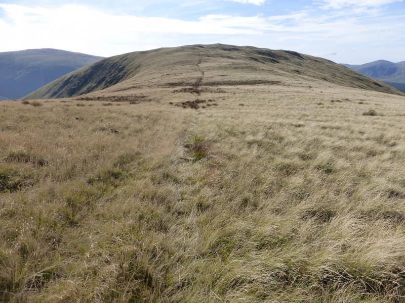
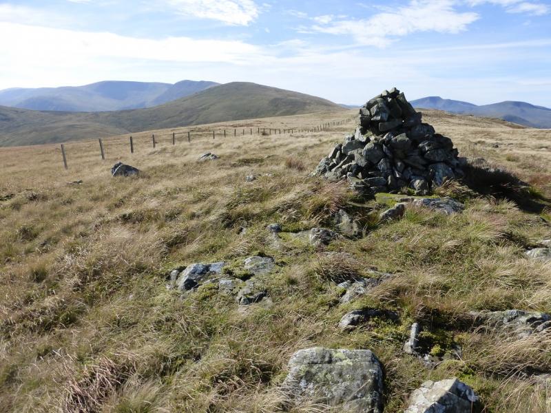
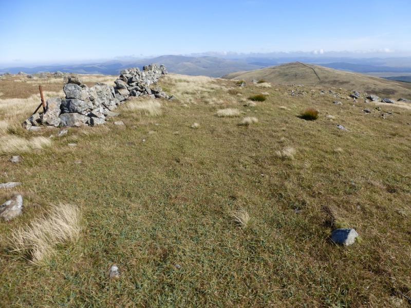
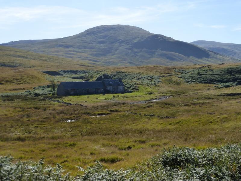
(1) From Bridge-end, walk up the minor road for Holm of Daltallochan. The tarmac stops at a gate by a bridge after an information board. Continue up the track, past Garryhorn, to reach the lead mines area, passing an old chimney which is to the right. Stay on the main track until it peters out then head for the highest ruins of old houses named on the map as “Higher Row”. The map shows a path from here going roughly W and crossing a wall where there is a stile. Do not go this way as the going will be very rough and there will be enough of that on the return. Instead, follow a track, roughly N, until a fence is seen going roughly W up the hill. Look for a rough track past the fence and follow it up. If you cannot locate the track lower down then follow the fence until it is seen then join it. Rough though the track is, it is much, much better than the rough ground. The track leads up to the bealach (col) between Corran of Portmark and Knockower then continues up the Corran of Portmark. At its highest point, a path goes off to the right and this leads to the medium cairn which is the summit of Corran of Portmark, 623 m.
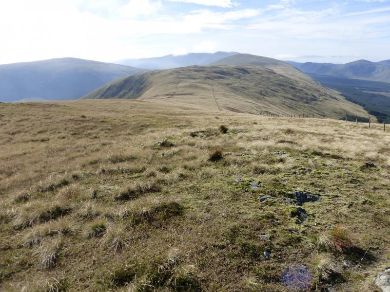
(2) Retrace along the path either to rejoin the track or cut the corner and head straight towards Bow and rejoin the track a little later. The track leads up to pass close to a medium cairn which is the summit of Bow, 613 m.
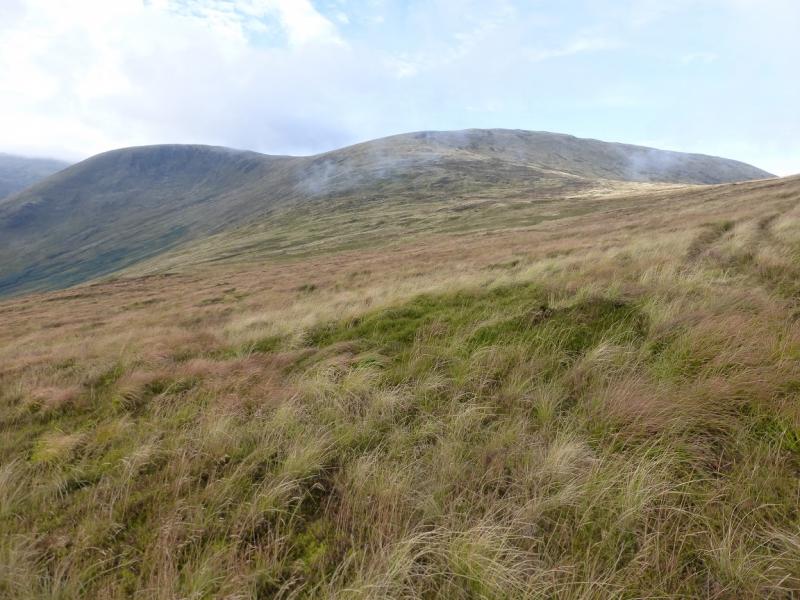
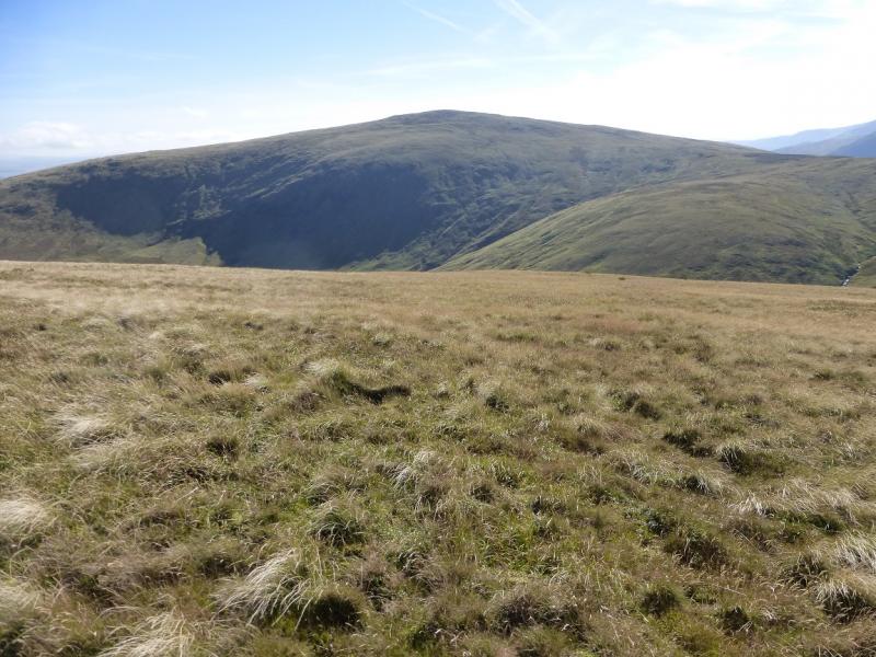
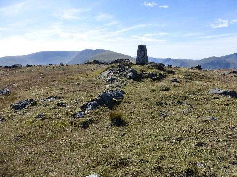
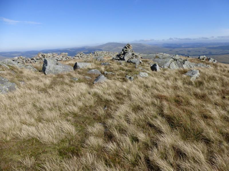
(3) Continue along the crest, still on the track and now following a fence. Cross a grassy bealach then continue up. There are some short boggy sections around here. When the fence drifts left off the crest, continue ahead and reach the flattish top where there is a small cairn and trig point which is the summit of Meaul, 695 m.
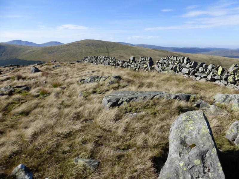
(4) Descend NE and soon reach a stone wall. Follow this down using a faint path. The fence previously followed meets the wall then the wall continues down to a grassy bealach. Continue up the other side following a fence and wall. When the fence goes right, cross it easily and follow the wall up to the summit area where a medium cairn marks the summit of Cairnsgarroch, 659 m.
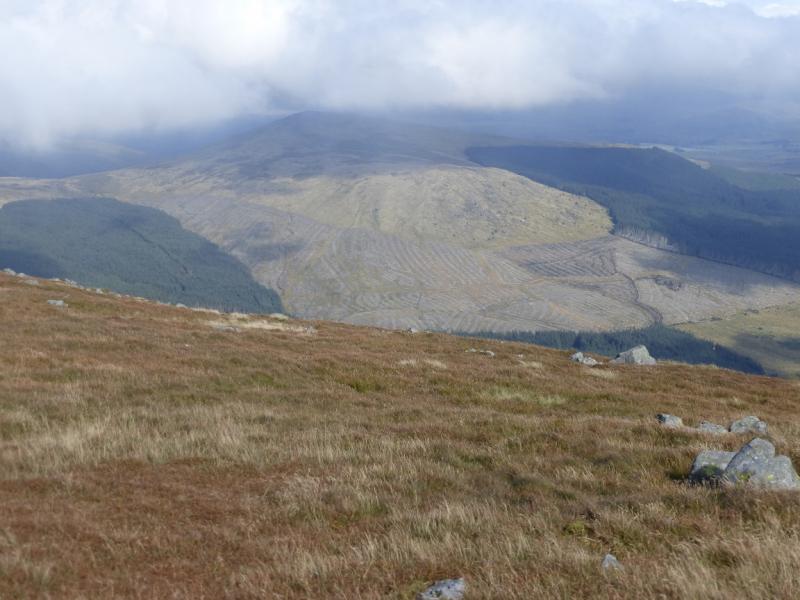
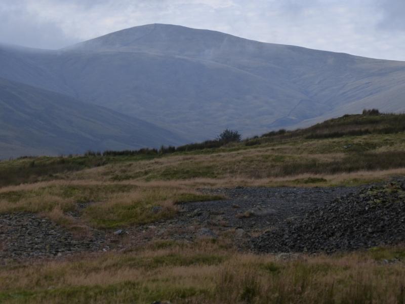
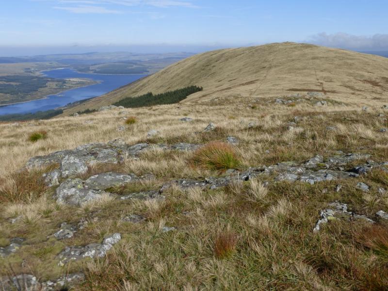
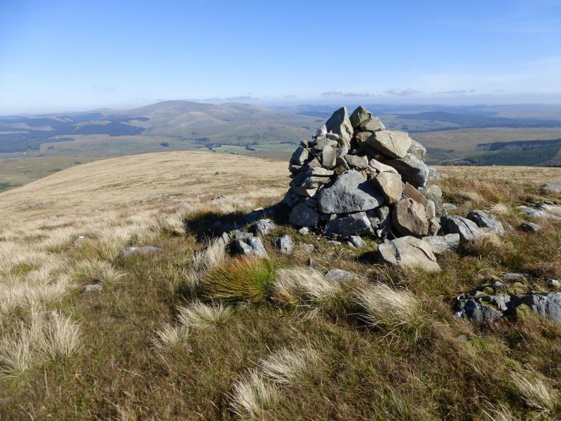
(5) Descend the ENE ridge soon passing another cairn which is a fine viewpoint for the Cairnsmore of Carsphairn across the main road. There is a faint path in places but it soon becomes too difficult to follow so it is a case of picking a way down trying to avoid the roughest ground. Head NE, aiming for the ruined houses. Lower down, the going becomes very rough indeed in places with deep wet grass. There are hints of paths and tracks but they soon peter out. Aim to reach the wall in the valley bottom. Progress may be very, very slow. The Garryhorn Burn can be crossed easily in a dry spell. The Footbridge shown on the map was not visited so may not be there! Once across the burn, pick a way across the rough ground to the wall then cross it and reach the lead mines area. Pick the shortest route back to the main track, which won't be far away, and follow it back to the start.
Notes
(a) This walk took place on 29th September, 2015.
(b) The whole ridge was walked about 20 years ago in the early 1990's.
(c) Those wishing to avoid the unpleasant descent of Cairnsgarroch could retrace towards Meaul but contour around it to reach its col with Bow then retrace the outward route. This may be longer in time and distance but is worth considering especially in a wet spell.
Photos - Hover over photo for caption. Click on to enlarge. Click on again to reduce.