Get Lost Mountaineering
You are here: Scotland » 00 Galloway and the Borders » Dumfries and Galloway Hills
Shalloch on Minnoch via N Top from The Summit on the Carrick Pass
Shalloch on Minnoch via N Top from The Summit on the Carrick Pass
Start/Finish
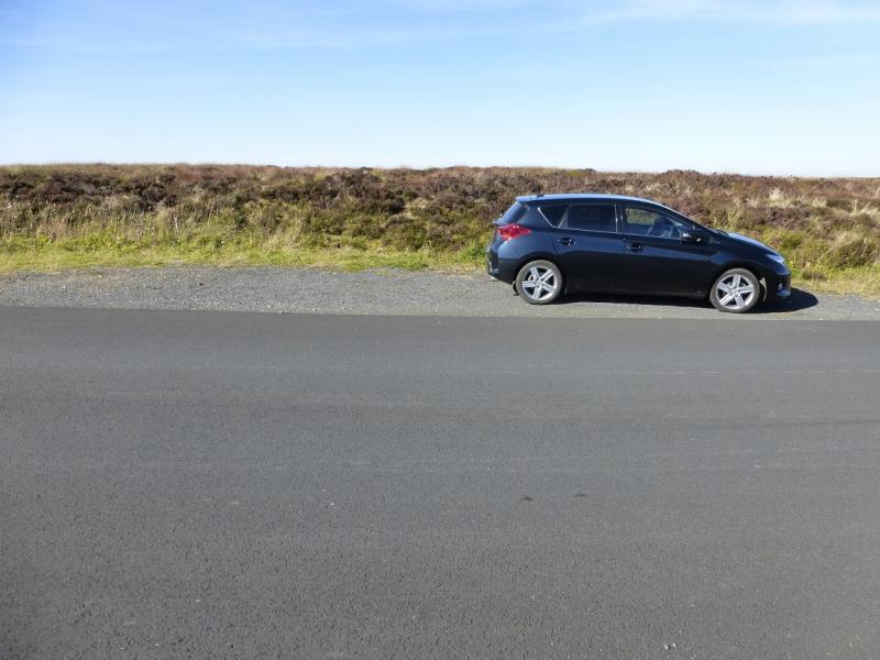
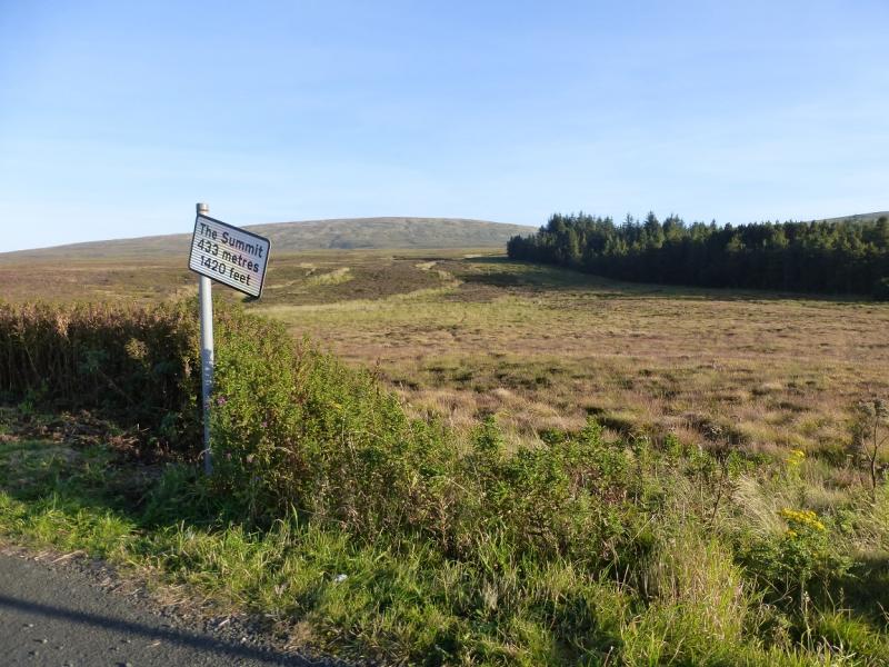
The Summit (sign to this effect) at the top of the Carrick Pass, 433 m, at NX 385 939, which is the minor road between Glen Trool and Straiton. This road may be impassable in winter conditions. There is a small area of off road rough parking at The Summit and a small lay by about 300 m north.
Distance/Time
9 km. 3 – 4 hours.
Peaks
Shalloch on Minnoch N Top, 659 m, NX 400 920.
Shalloch on Minnoch, 775 m, NX 407 905. OS Explorer sheet 318.
Introduction
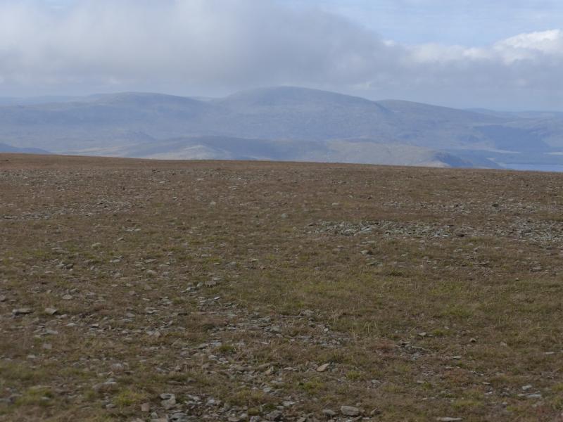
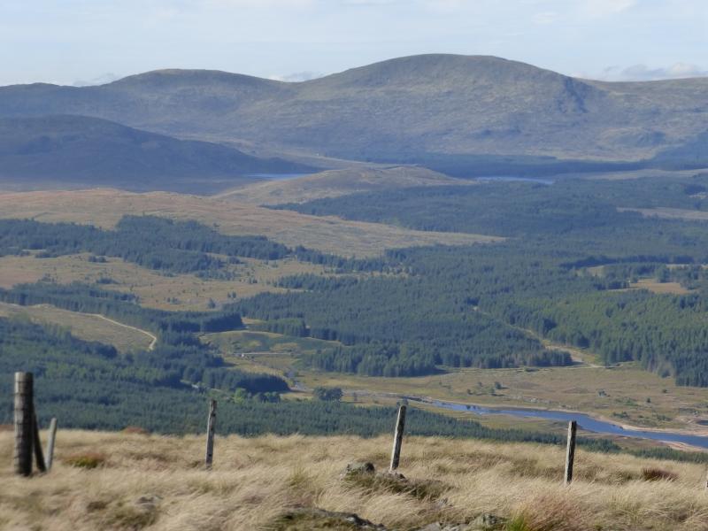
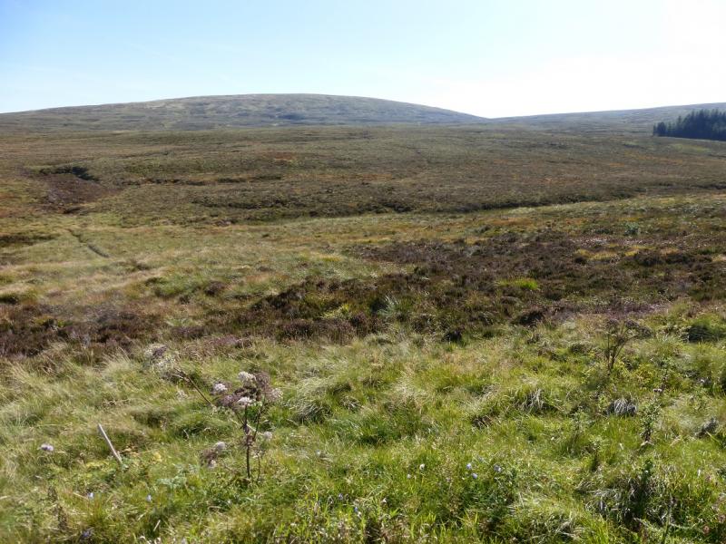
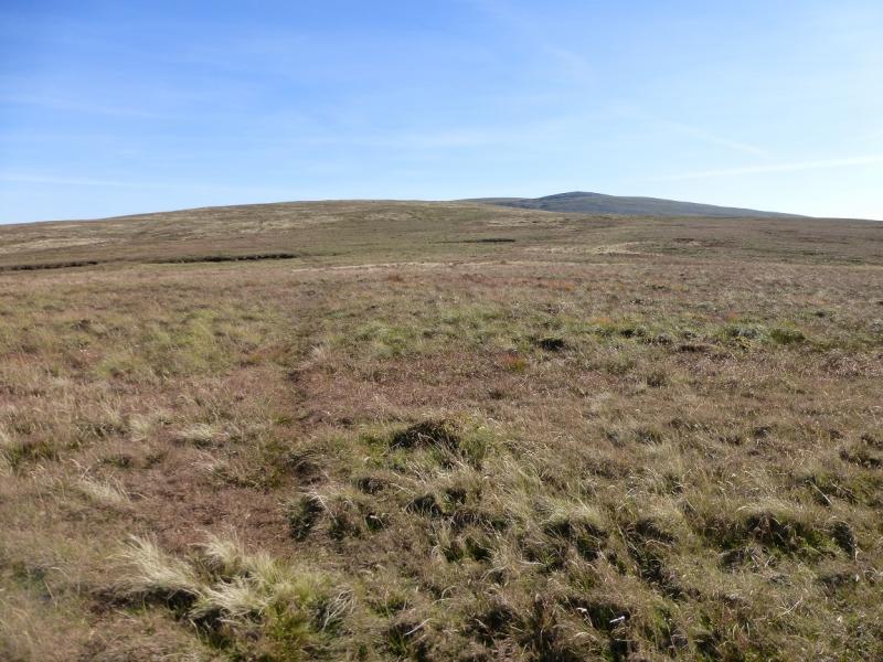
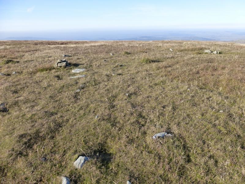
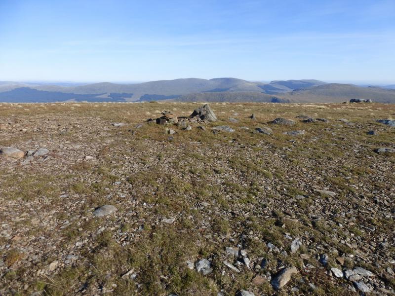
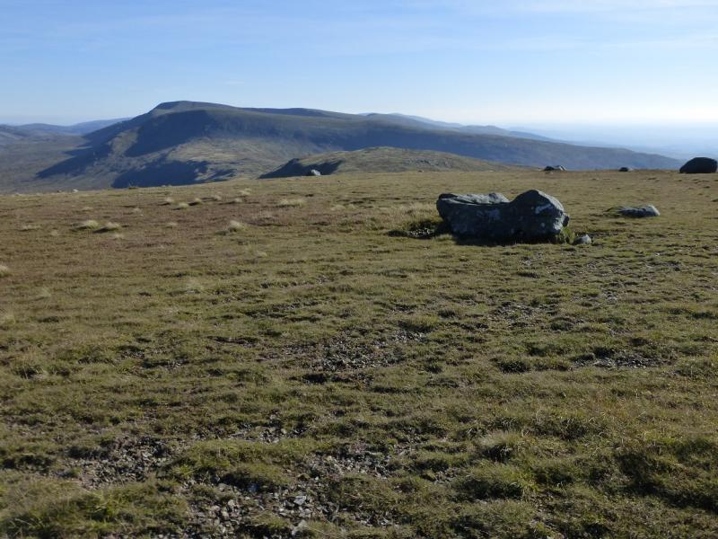
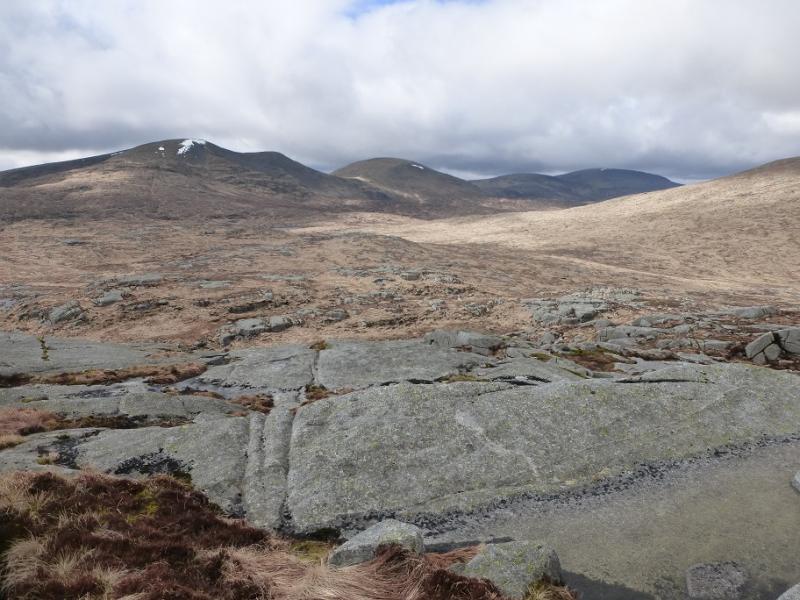
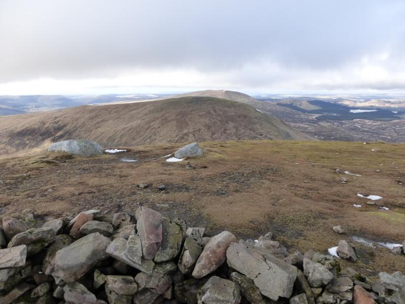
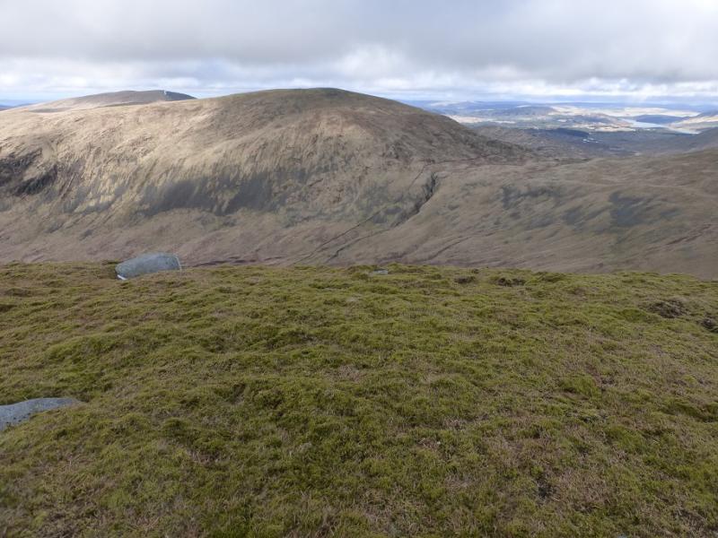
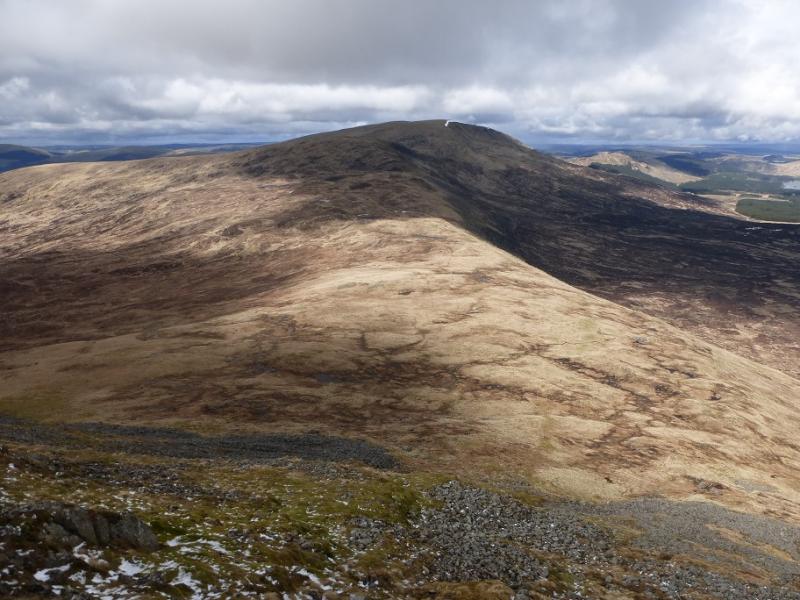
Shalloch on Minnoch is a Corbett in the same range as Merrick. Forestry makes it difficult to reach from most directions. This route starts at the top of the Carrick Pass (not an official name) at a height of 433 m giving only about 350 m of ascent via the North Top. However, the going is quite rough, on grass and heather, on the lower slopes although not as rough as it can be in this area. The going is much better once the top of Caerloch Dhu is reached. Navigation is easy in clear weather but would be very taxing as much of the ground is featureless. The views are good and include the Corserine range with Corserine itself and Carlin's Cairn both well seen. Merrick and Kirriereoch Hill are very dominating to the south. Neither Shalloch on Minnoch nor its N top are visible from The Summit. The paths, where they exist, are faint and would soon be hidden by even a light snowfall.
Route
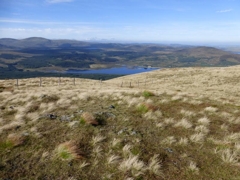
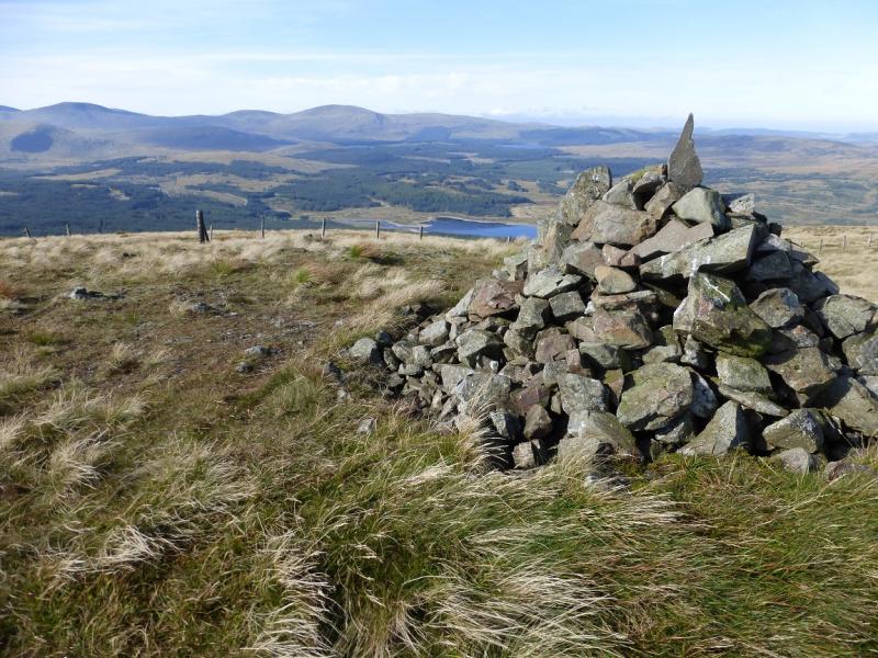
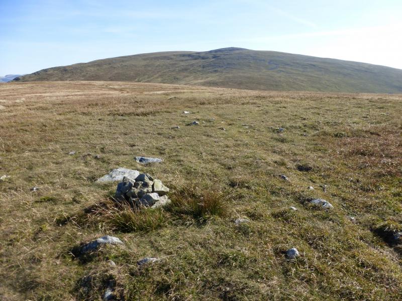
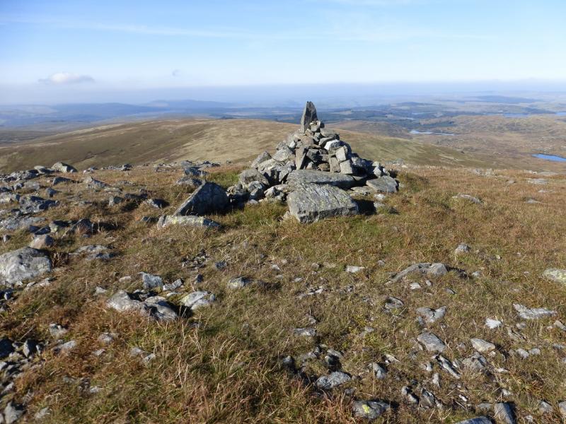
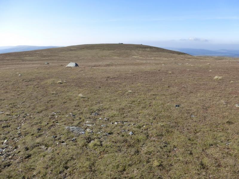
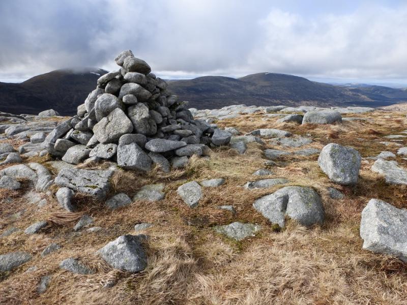
(1) From The Summit sign, look for a faint path passing to the Ne of the rectangular wood. Follow this path, very faint in places. The wall shown on the OS map is actually just a line of old fence posts. There are a few wet patches. Reach the foot of the Caerloch Dhu where the gradient steepens. Pick a way up, on a path if possible, heading for the small isolated boulders high up. Once past these, a more obvious, but still faint, path can be followed along the crest heading, roughly SE, towards the N Top where a tiny cairn (a few stones on a small rock) marks the summit of Shalloch on Minnoch N Top, 659 m. The summit area is fairly flat and it is hard to tell exactly where the highest point is.
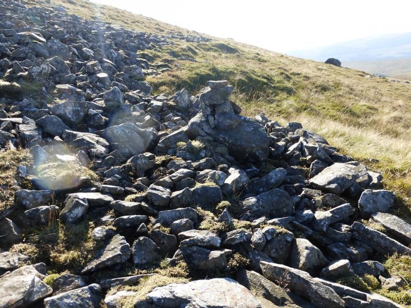
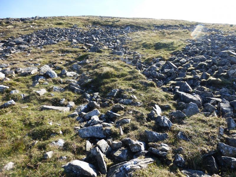
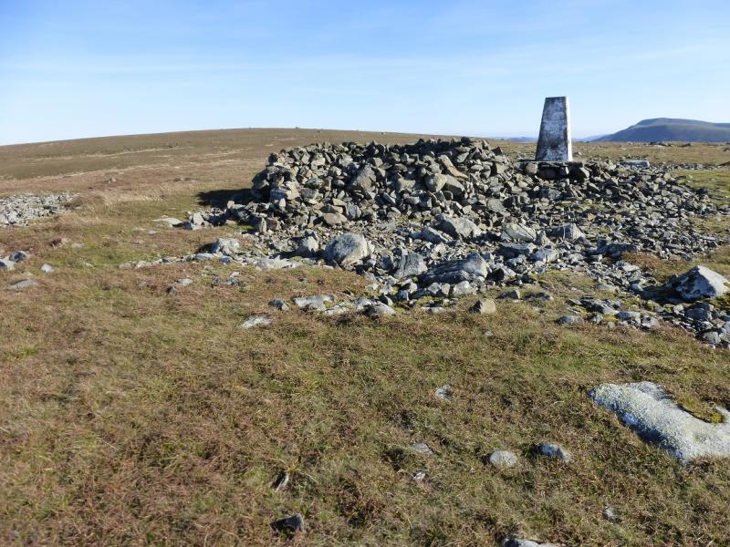
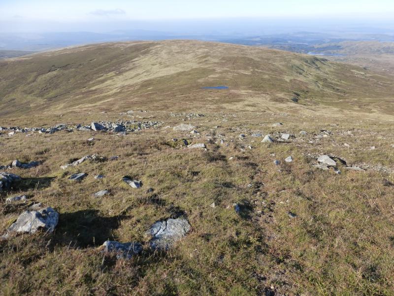
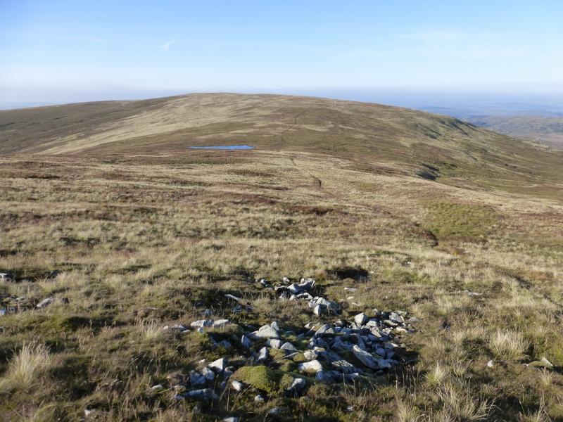
(2) The path continues, roughly SE then S down to a shallow grassy, sometimes wet, bealach (col) where there is a small lochan. The continuation of the path is obvious and it picks its way up the NNW ridge. At one point, the path traverse W to a cairn before continuing up. Higher up leave the path when it levels out and head left up through some stony areas which are easily walked through to reach a pointed cairn, seen from the N Top. A few metres to the SE lies the trig point and a large shelter cairn but this is not the summit. That lies about 400 to the SE across a shallow gap. A path guides one to a small cairn which is the true summit of Shalloch on Minnoch, 775 m.
(3) Return to the N Top then retrace back to The Summit. The advantage of height should allow one to locate one of the faint paths if it was a struggle to find one on the outward route.
Notes
(a) This walk took place on 30th September, 2015.
(b) The approach from Bell's memorial via the abandoned house at Shalloch on Minnoch is not recommended owing to very tough going. This has been uploaded separately.
(c) Local enquiries suggest a decent approach route is from the Firest Drive which starts at Stinchar Bridge at the bottom of the Carrick Pass. One can drive to the junction at NX 428 944 then walk along the track south from here to the edge of the forest then ascend to the col between Shalloch on Minnoch and its North Top. It may even be possible to cycle along the track but none of this route has been checked out.
Photos - Hover over photo for caption. Click on to enlarge. Click on again to reduce.