Get Lost Mountaineering
You are here: Scotland » 01 South of Oban to Stirling and Fife » Arrochar Alps
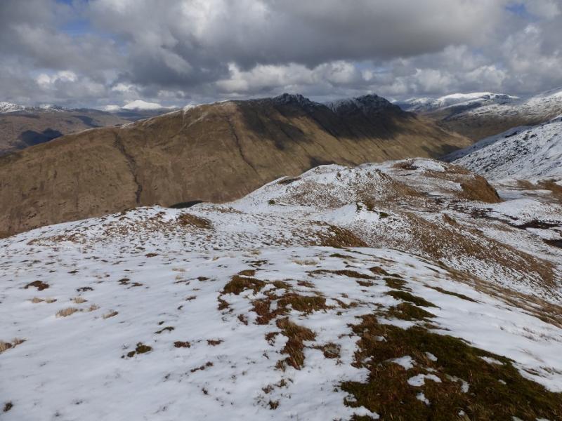
Stob Coire Creagach (Binnein an Fhidhleir) from Butterbridge
Stob Coire Creagach (Binnein an Fhidhleir) from Butterbridge
Start/Finish
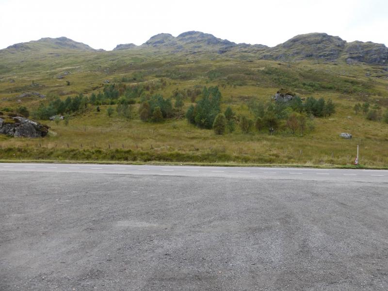
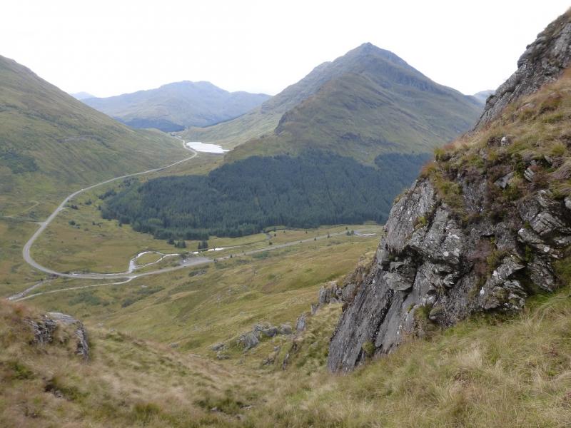
Large car park at Butterbridge on the A83 at the foot of the Rest and be Thankful Pass on its north side. From the top of the pass, if coming from Arrochar, drive down for about 1.5 miles to where the road turns left, west. The car park is just around this bend. Behind it is an old stone bridge on the old military road. If coming from Inverary, go around the head of Loch Fyne and through the hamlet of Cairndow. Just after, the road turns left, east, and passes through Glen Kinglas for about 3 miles before turning right and climbing up to the Rest and be Thankful pass. The car park is just before this right turn. Butterbridge is actually the abandoned building roughly opposite the car park. Note that in winter conditions, the Rest and be Thankful pass may be closed. The road is also prone to closures from landslides.
Distance/Time
4 km. About 4 hours.
Peaks
Stob Coire Creagach (Binnein an Fhidhleir), 817 m, NN 230 109. OS Sheet 56.
Introduction
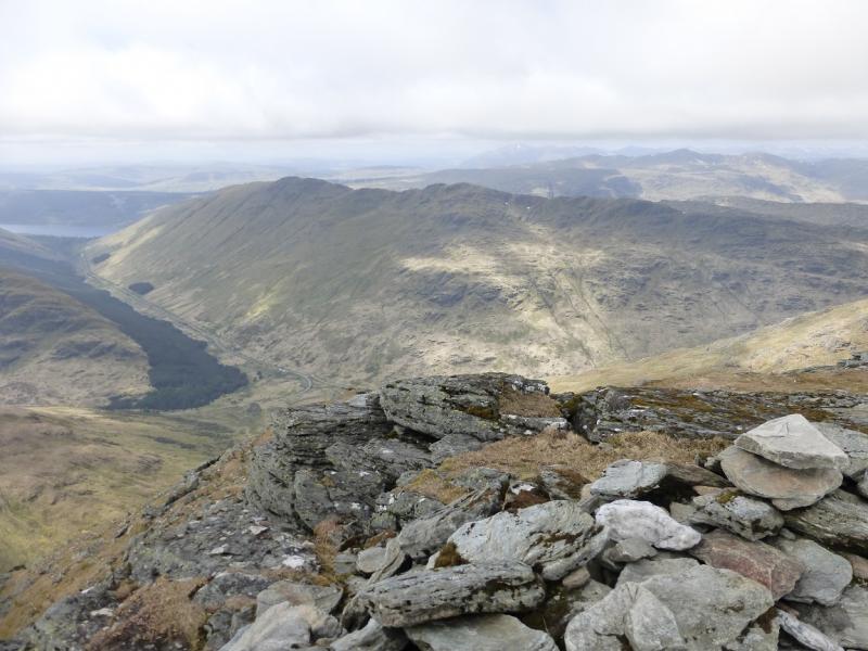
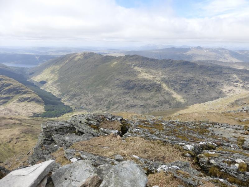
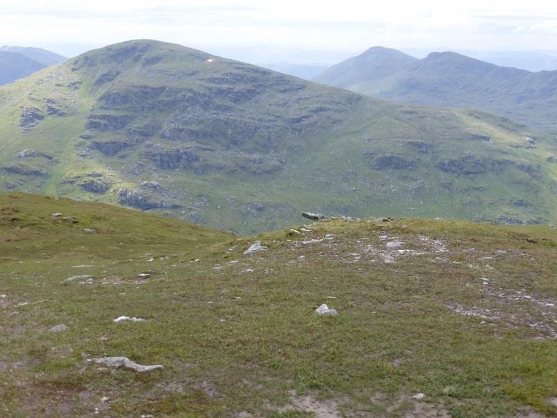
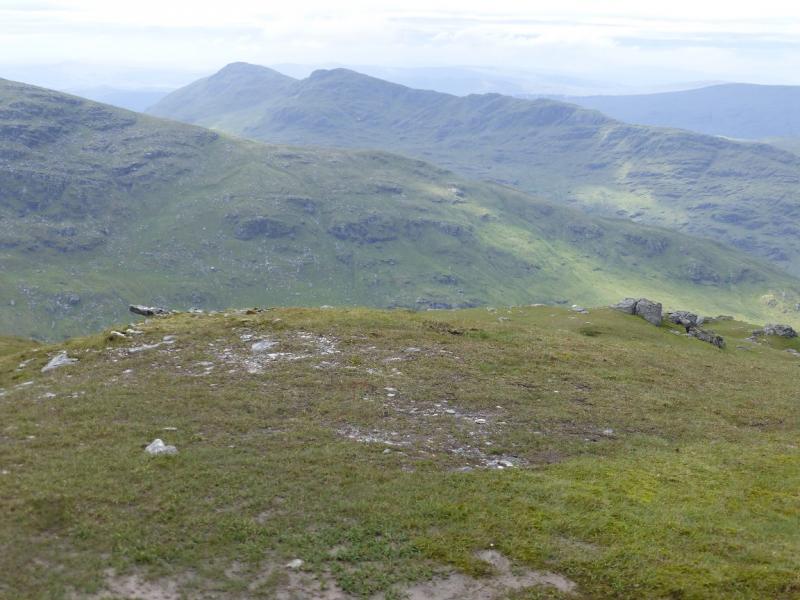
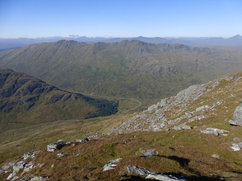
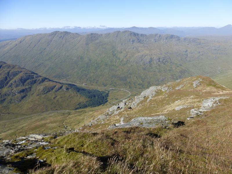
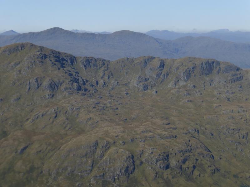
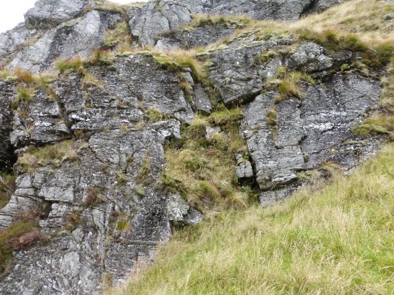
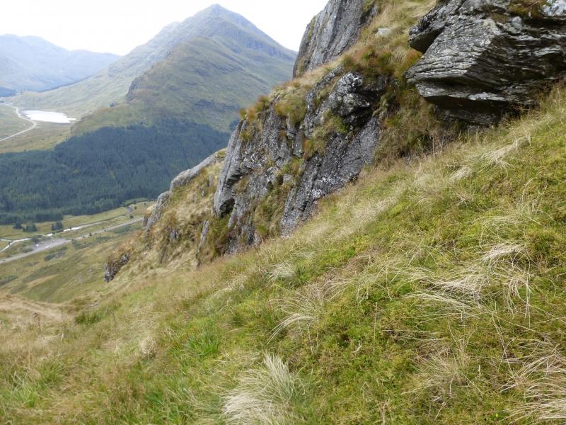
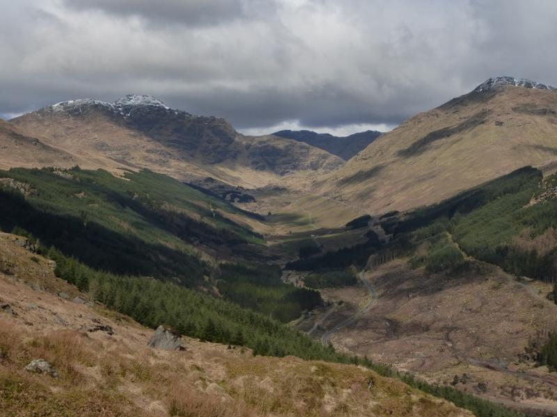
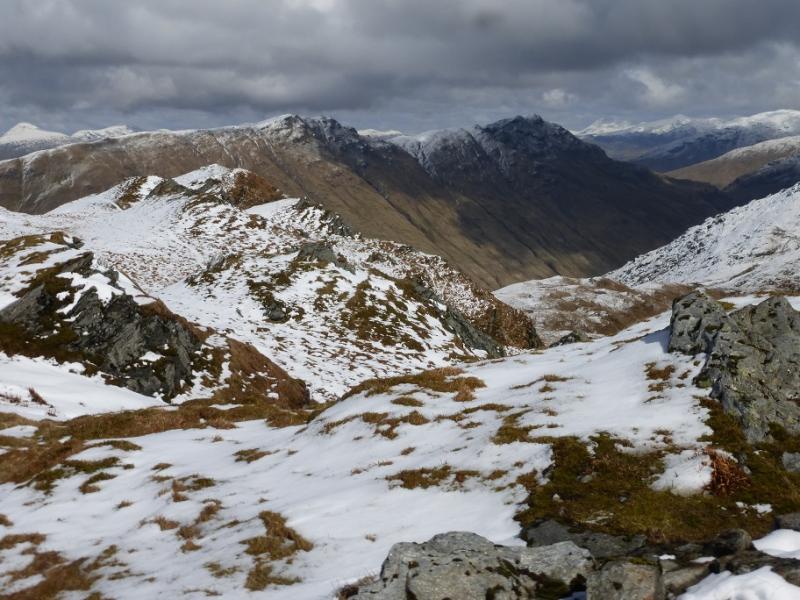
Stob Coire Creagach is a name which may not be on your map and has been coined by the SMC for their Corbetts book. The whole mountain is called Binnein an Fhidhleir as is the 811 m top with a trig point. However, the eastern top is 6 m higher so is the true summit and is what is meant by Stob Coire Creagach.This walk only goes to the true summit but there seems to be no diffculties with continuing west for about 1.5 km to the trig point but this would probably have to be reversed.Surrounded by the more famous peaks of The Cobbler, Beinn Narnain, Beinn Ime and Beinn an Lochain, Stob Coire Creagach (Binnein an Fhidhleir) sees few visitors, most of whom are only probably ascending because it is on their round of The Corbetts. It gives a short day which is straightforward in Summer although there are very steep grassy sections which would need experience and equipment under winter conditions. The route is mainly pathless and lower down can be very wet and rough. There are large crags but all are easily avoided. Views are excellent especially to the surrounding mountains. On a clear day, Beinn Bhuidhe and the Ben Lui range can be seen and even Ben Cruachan but Beinn an Lochain, Beinn Luibhean and Beinn Ime dominate the view as they are so close. Clear weather is almost essential on this hill.
Route
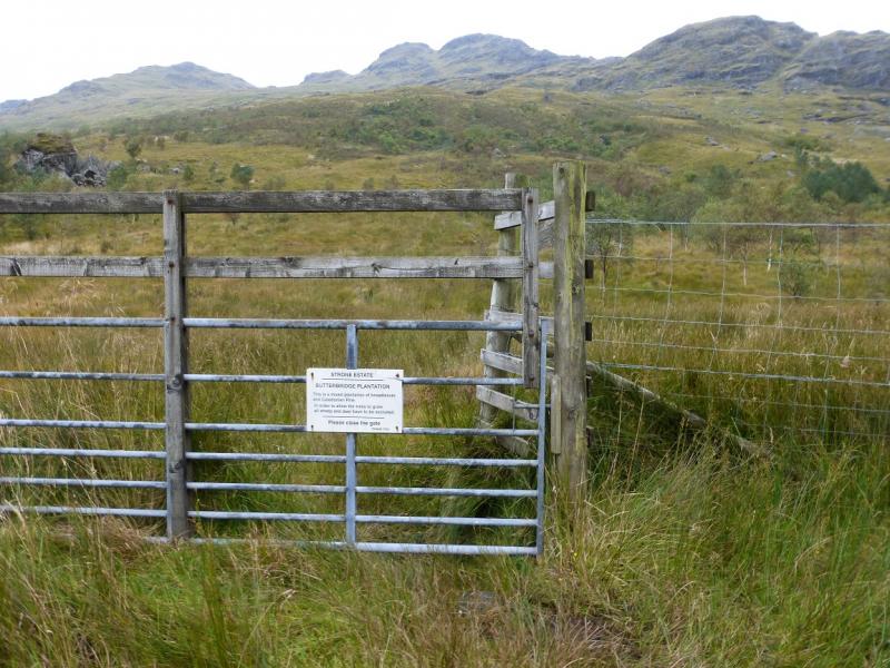
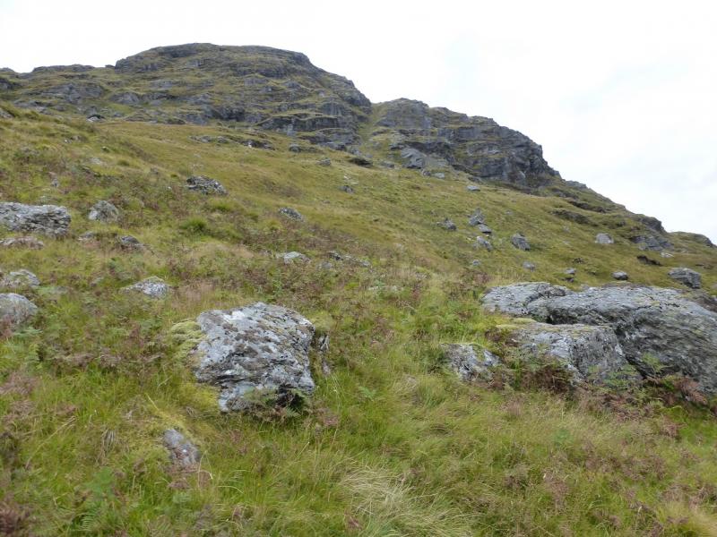
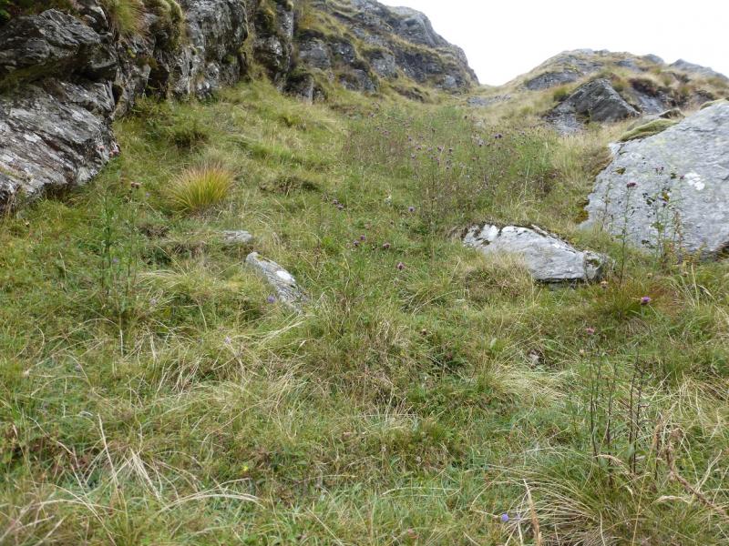
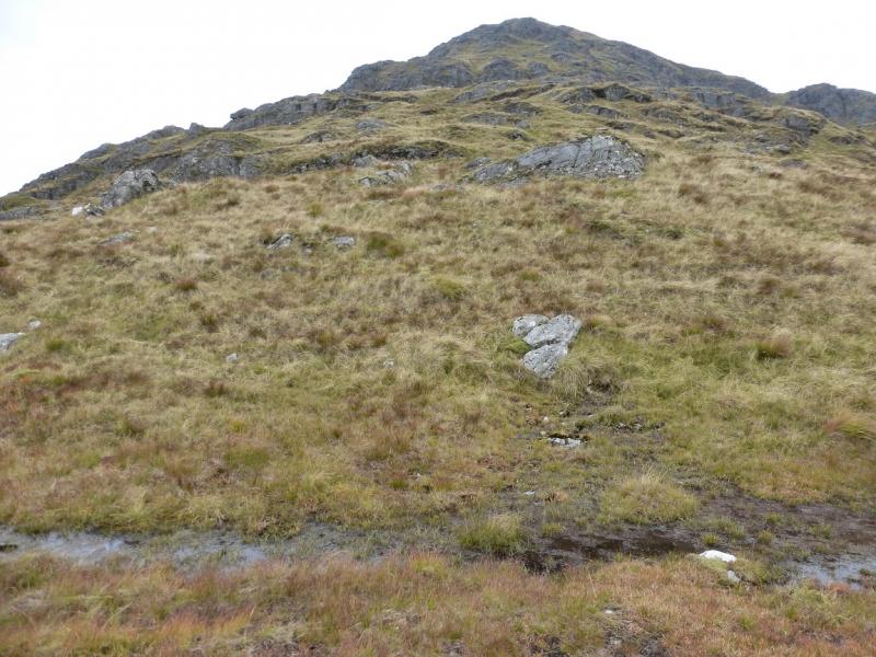
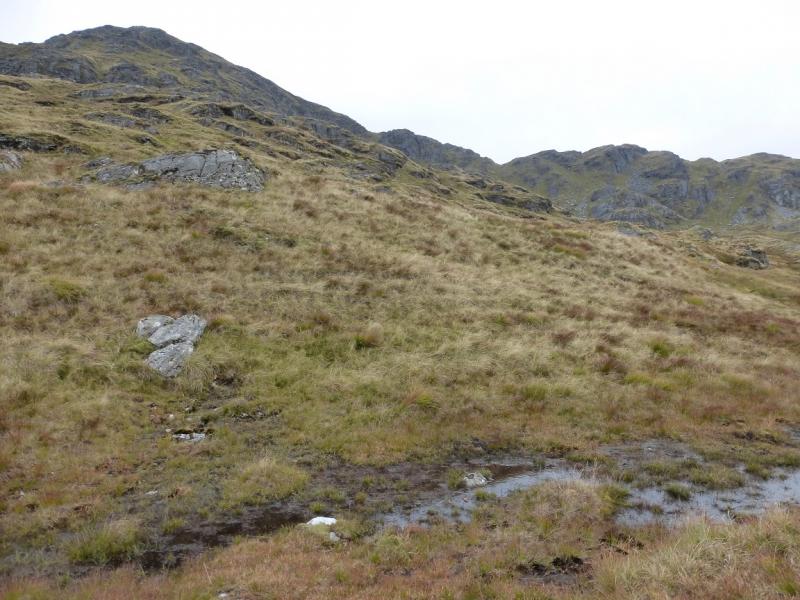
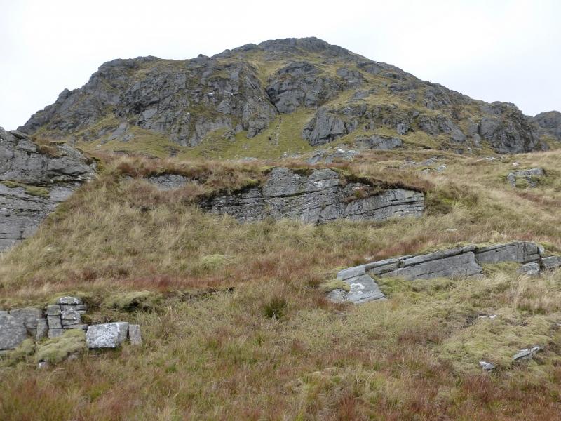
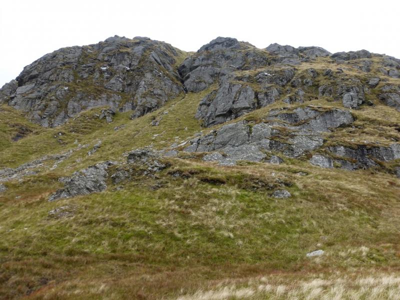
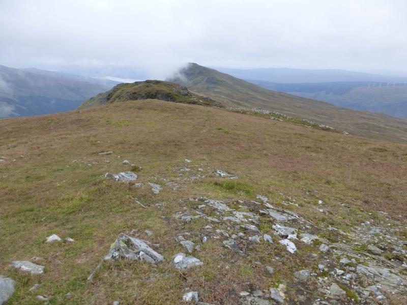
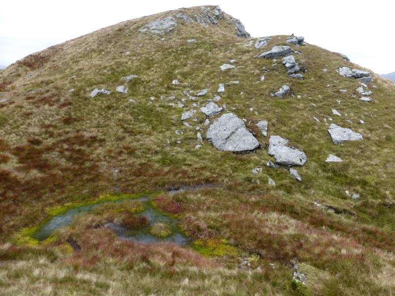
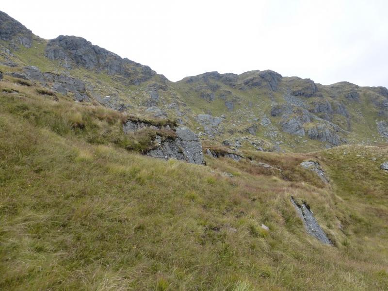
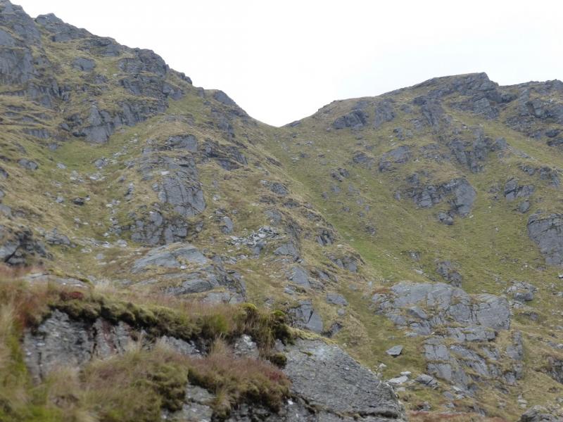
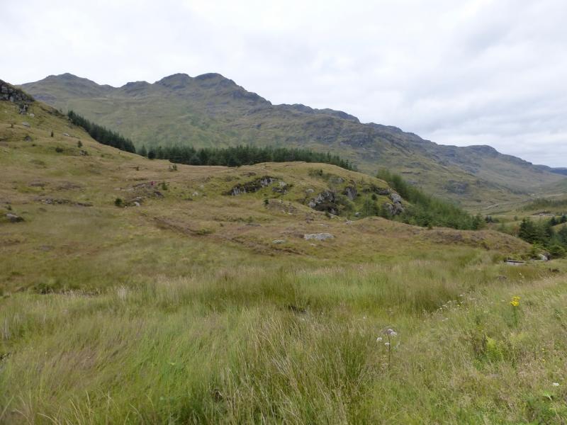
(1) Cross the road and enter the obvious track for Glen Kinglas. Immediately, leave the track and go through the labelled gate for Butterbridge Plantation. Follow the wet and very rough path up. “Path” is not really accurate, more like lightly trodden grass through bog! Reach a ladder stile at the top of the plantation. The “path” continues but becomes very faint. The objective is the obvious grassy gully above and slightly to the right after yet more rough ground. Once the bottom of the gully is reached, the rough ground is left behind and a faint path goes up the gully. At its top, note carefully your position as it can be difficult to locate in descent. Some will seek the reassurance of marking their position with GPS. Bear roughly NW and start picking a way up the SE ridge. There is little in the way of a path but, in clear weather, the route is fairly obvious and one can wander around at will so long as the large crags are avoided. Higher up, there is another grassy gully which slants rightwards. Continue up on ground as easy or as difficult as you wish to make it, some of which is very steep. Eventually, the angle eases and a medium cairn is reached which marks the summit of Stob Coire Creagach (Binnein an Fhidhleir), 817 m.
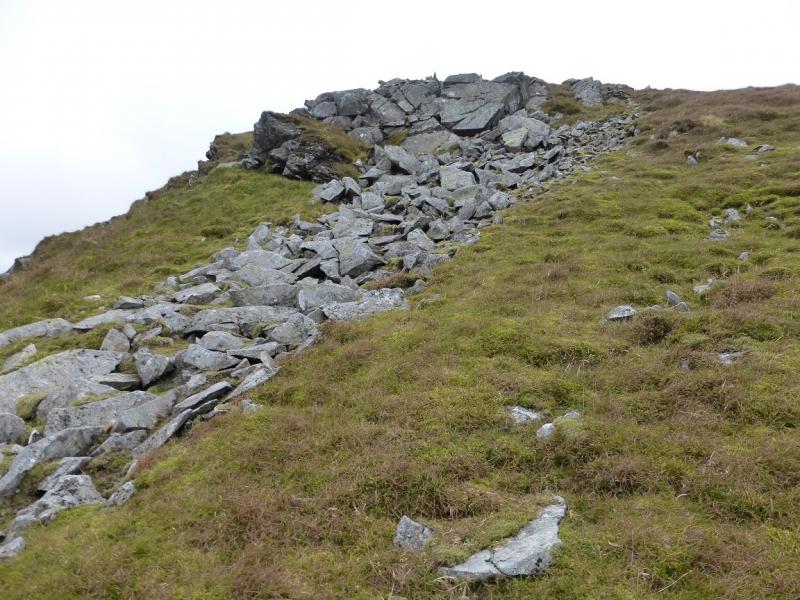
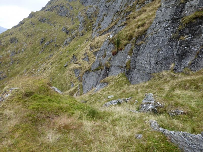
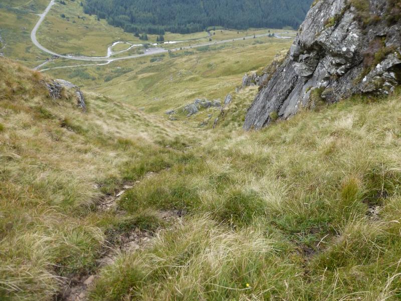
(2) Many will wish to avoid descending by the steep ascent route so walk down the NE ridge (faint path) to reach the second obvious gap which is lower and deeper than the first. This “bealach” is mossy and boggy and the ridge ascends significantly beyond. Leave the crest, turning right, and walk down the shallow gully until it steepens then traverse across to the right on steep grass. Reach a less steep gully when below the large crags and continue down, under the crags, drifting left when easy to do so. Lower down , the going gets easier and one can easily pick a way across the grassy open corrie to the lower part of the SE ridge which was used in ascent. This is where remembering the location of the top of the grassy gully will be key. As a rough guide, when a long thin wet patch is crossed (it will have been crossed in ascent) you are getting close. Continue down but keep looking back up the ridge. When the top of the ridge “disappears”, you are getting very close. There is a very faint path leading to the top of the gully and a broken crag on its right. When looking down it, you are looking straight at the car park. Descend the gully then pick a way across the rough ground to the stile then through the wet and boggy plantation then back to the start.
Notes
(a) This walk took place on 3rd October, 2015, and about 15 years previously under winter conditions.
Photos - Hover over photo for caption. Click on to enlarge. Click on again to reduce.