Get Lost Mountaineering
You are here: Scotland » 01 South of Oban to Stirling and Fife » Dunoon, Lock Eck and Lochgoilhead
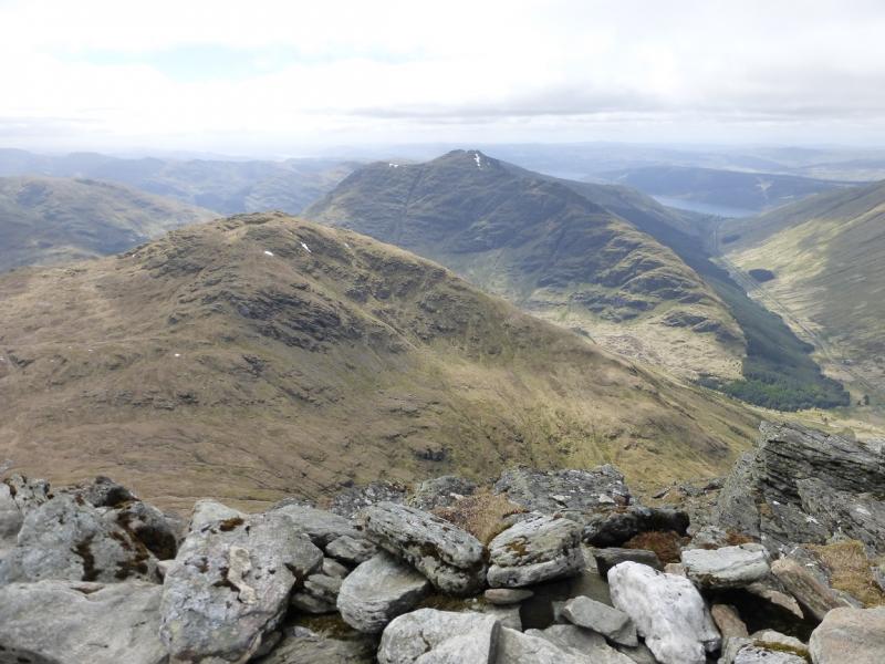
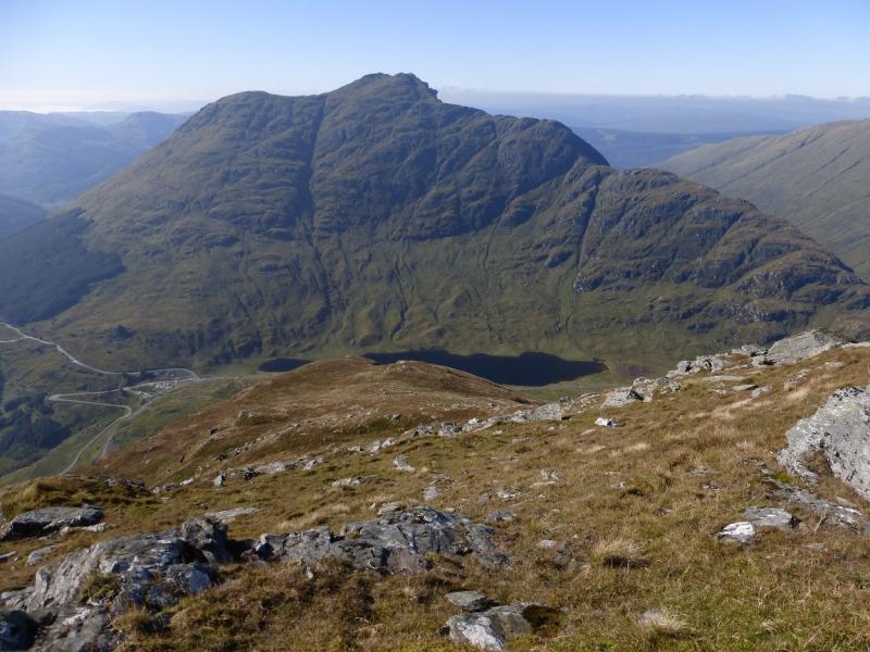
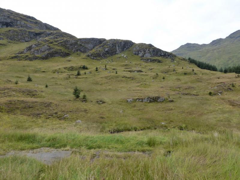
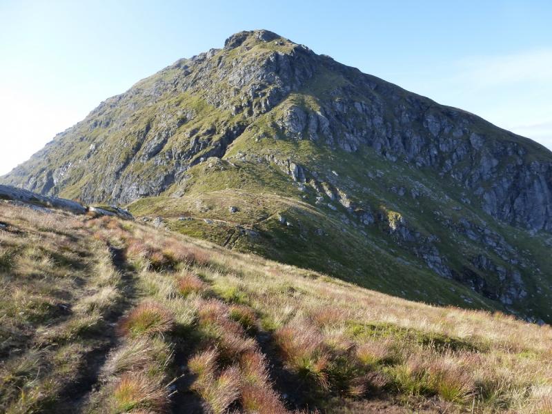
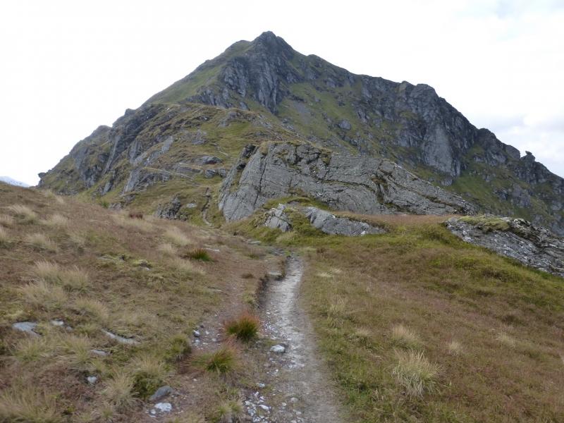
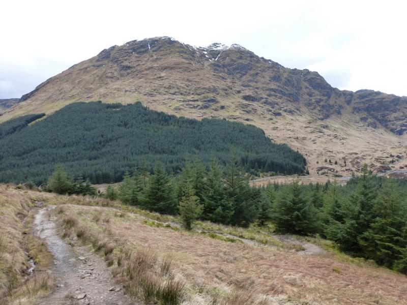
Beinn an Lochain from below Rest and be Thankful
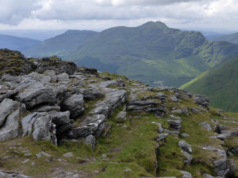
Beinn an Lochain from below Rest and be Thankful
Start/Finish
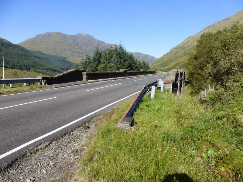
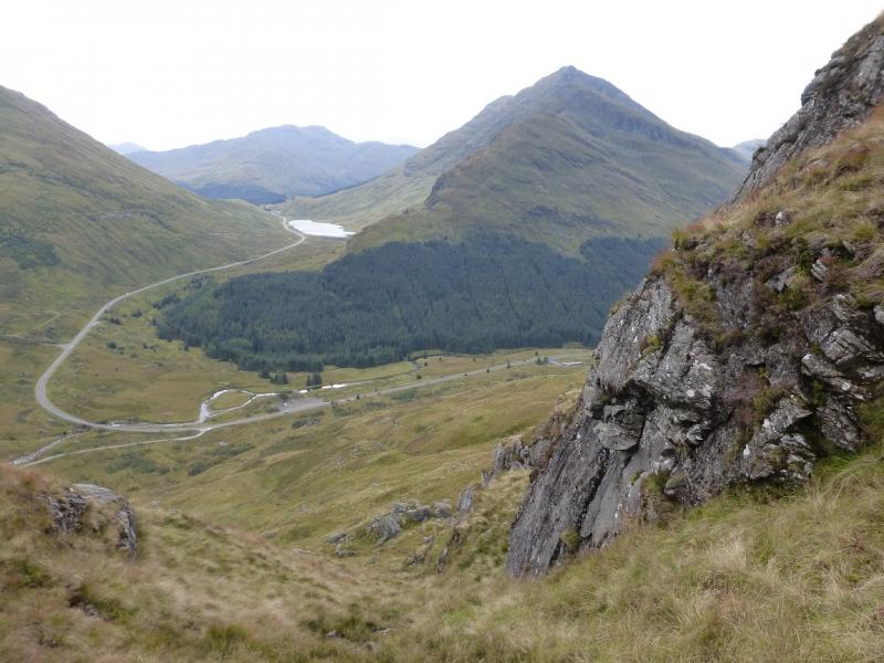
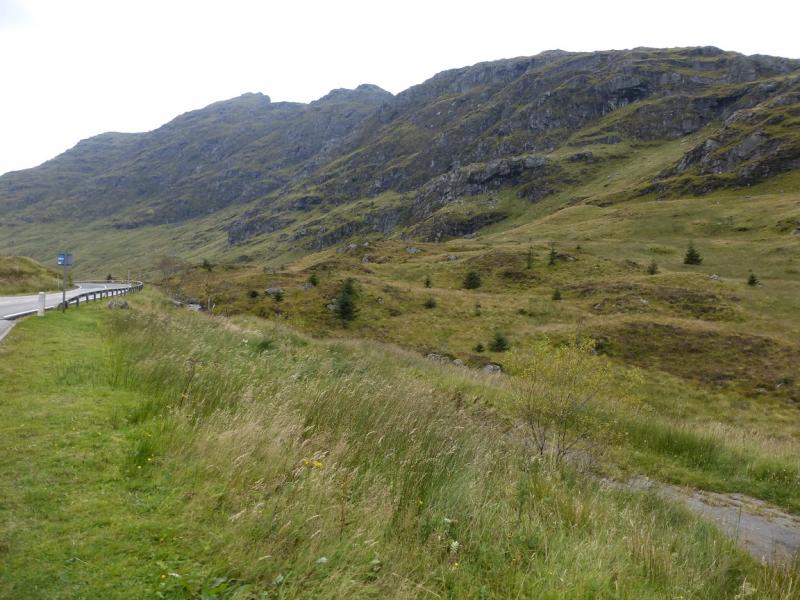
Small lay near Butterbridge (not the large one opposite the old building) on the A83 near the foot of the Rest and be Thankful Pass on its north side. From the top of the pass, if coming from Arrochar, drive down for about a mile, past the loch, to a small lay by on the left above and before where the road turns left, west. There is another similar sized lay by across the road. If coming from Inverary, go around the head of Loch Fyne and through the hamlet of Cairndow. Just after, the road turns left, east, and passes through Glen Kinglas for about 3 miles before turning right and climbing up to the Rest and be Thankful pass. The lay by is just after this right turn. Note that in winter conditions, the Rest and be Thankful pass may be closed. The road is also prone to closures from landslides.
Distance/Time
5 km. About 4 hours.
Peaks
Beinn an Lochain, 901 m, NN 218 079. OS Sheet 56.
Introduction
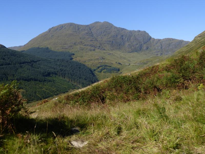
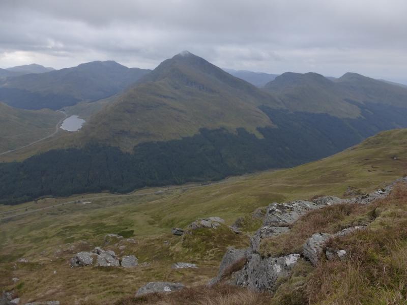
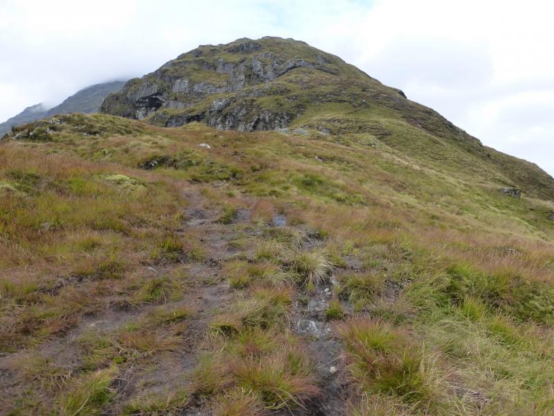
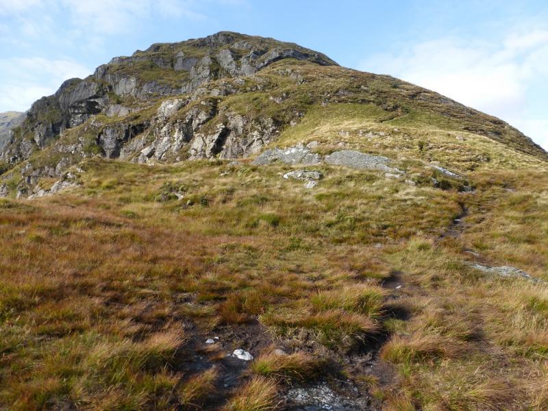
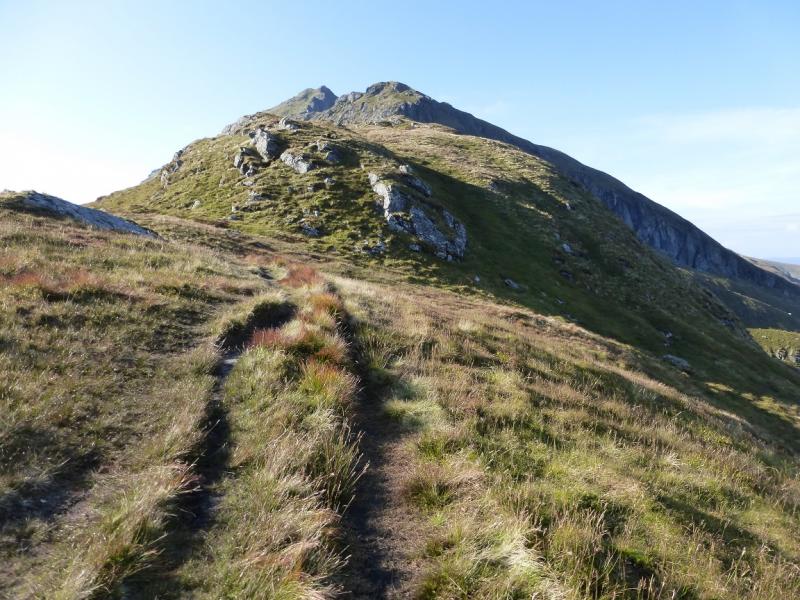
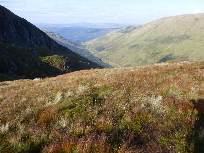
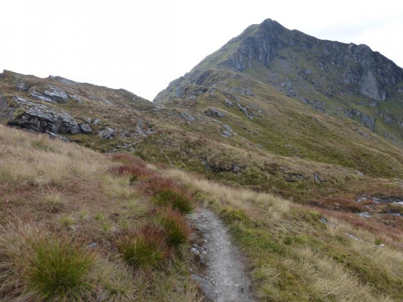
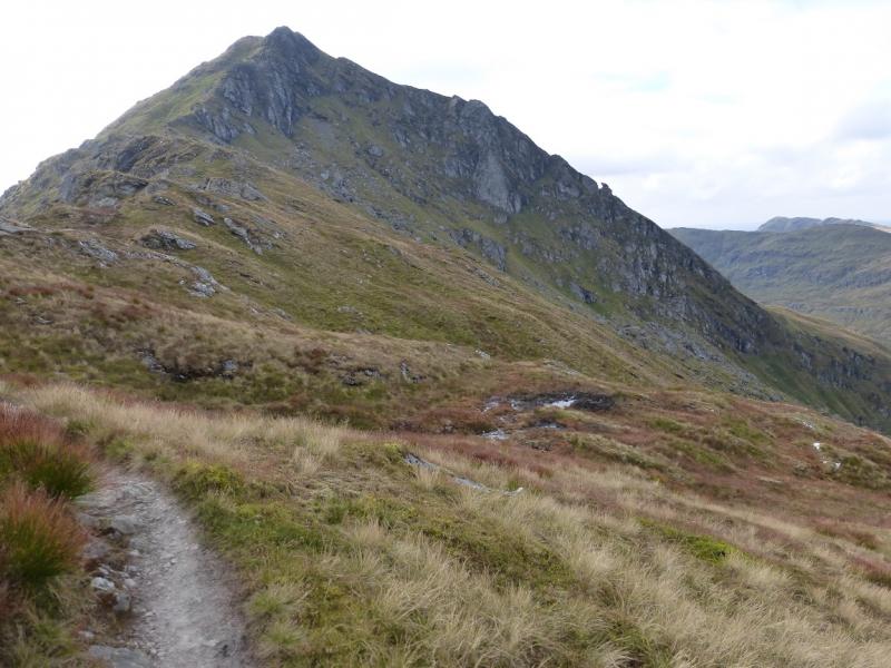
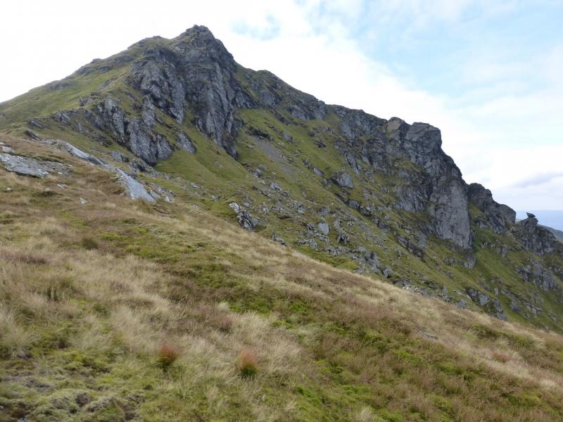
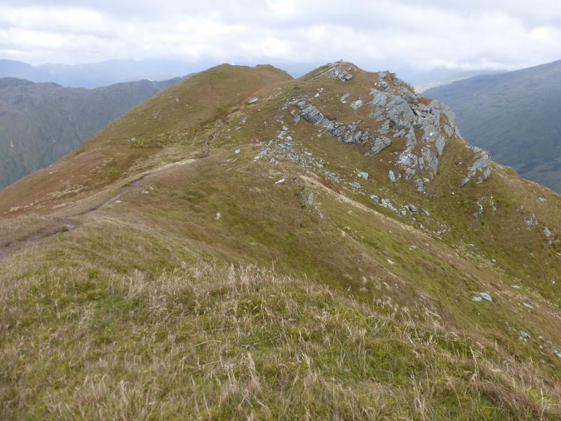
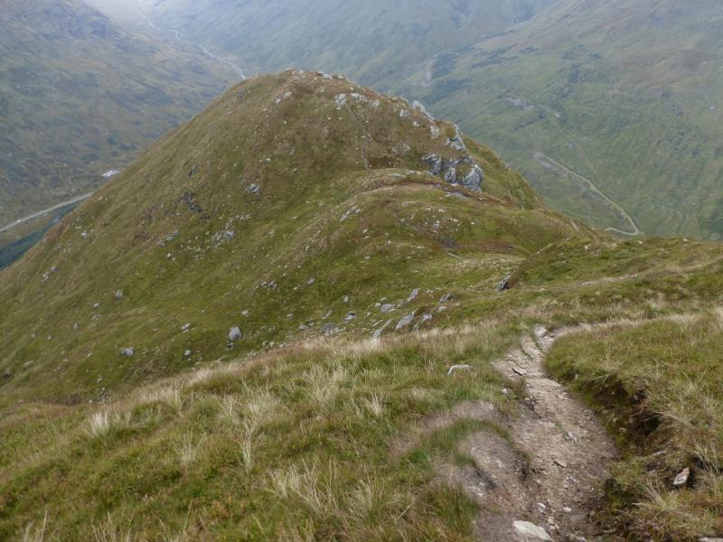
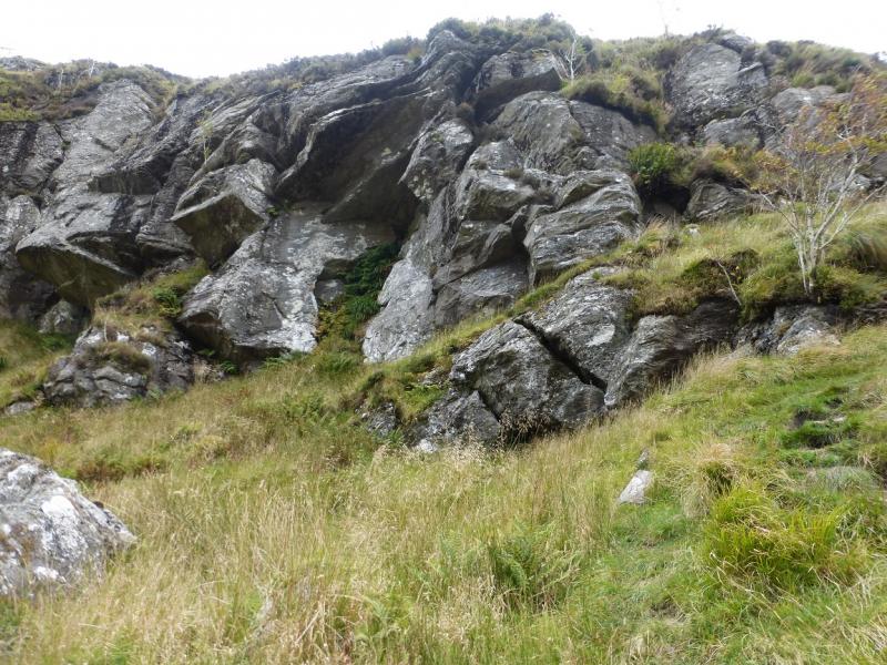
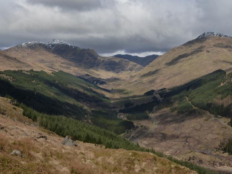
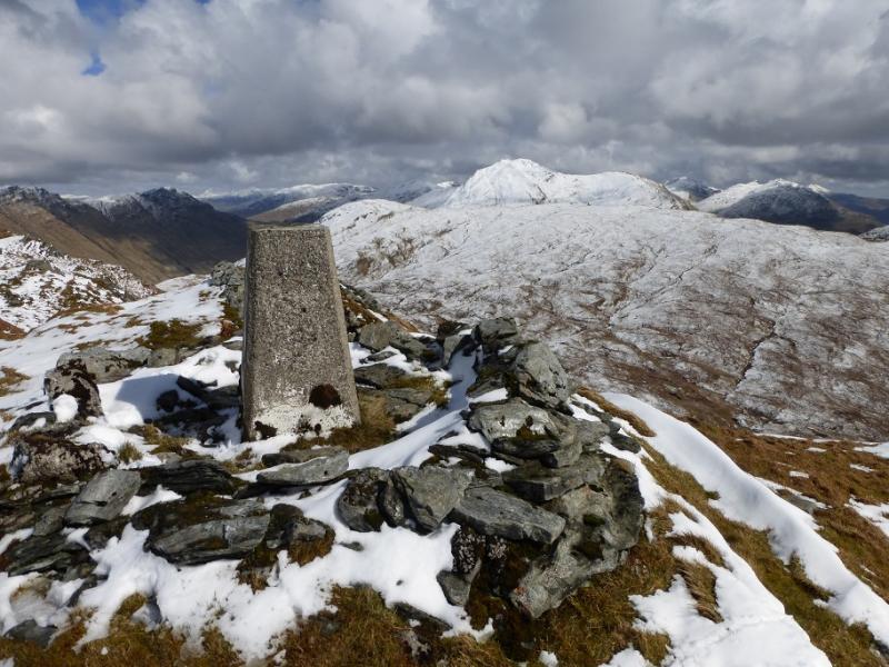
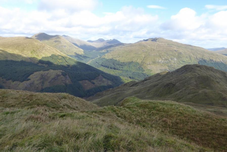
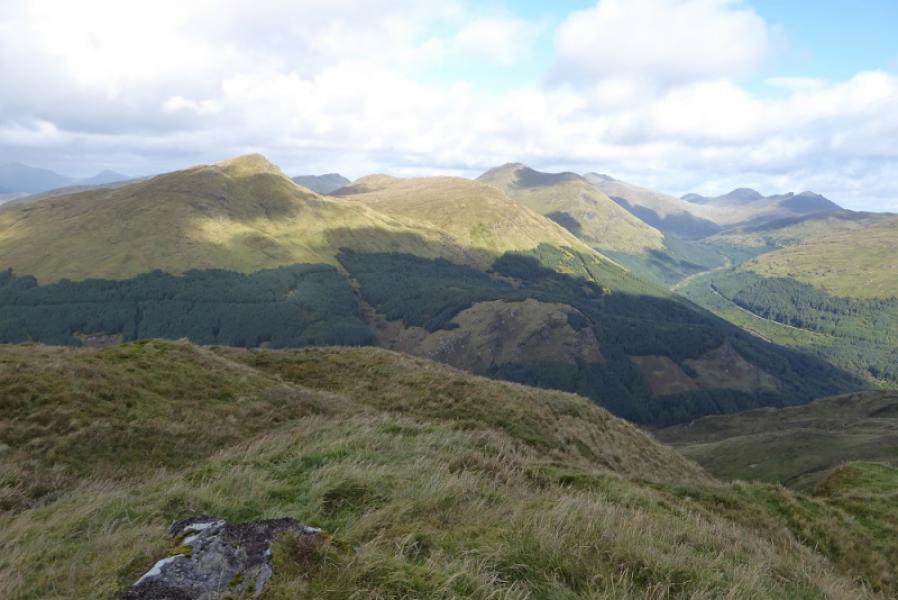
Beinn an Lochain is one of the finest mountains in this area. It was categorised as a Munro in the original list but is now a Corbett as it is about 13 m short of height to be a Munro. There is a path all the way from the road which goes up the north east ridge all the way to the summit. Low down, especially near to the road, the path can be quite boggy but becomes a good mountain path once on the north east ridge. The gradient is steep in places with some rocky sections where hands will be needed but it is not a scramble as the path avoids the crags.Views are excellent especially to the surrounding mountains. On a clear day, Beinn Bhuidhe and the Ben Lui range can be seen and even Ben Cruachan but Stob Coire Creagach (Binnein an Fhidhleir), Beinn Luibhean, Beinn Ime and The Cobbler dominate the view as they are so close. In mist, navigation is still straightforward as the path is so obvious but it would be a shame to climb this fine mountain and not enjoy the views. In Winter conditions, the path may disappear and the steep sections should only be tackled by those experienced and equipped for Winter ascents.
Route
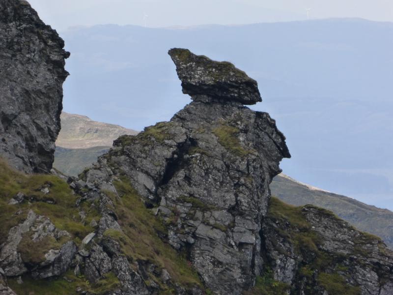
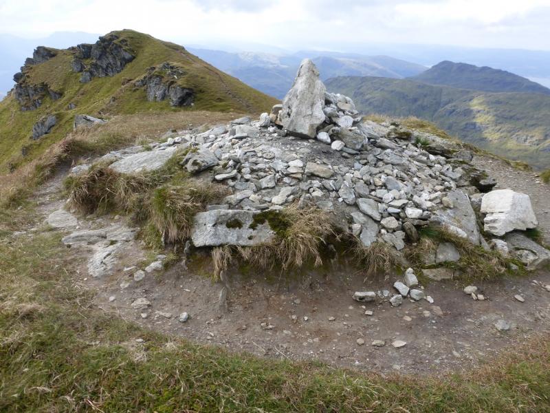
(1) From the lay by on the W side of the road, follow the “trodden grass” path to make a boggy crossing of a burn (stream). Continue on the rough ground, heading for the foot of the NE ridge just above the tree line. As the ridge is ascended, the path improves but is steep and rocky in places before reaching an undulating ridge, at about 600 m, after which there is a short descent then the path climbs rightwards to avoid crags before cutting back to reach a level section, at about 750 m. If one looks right to the steep NW ridge, there is an interesting perched boulder. The final climb to the summit continues up the NE ridge just to the left of the crest. There are steep drops if one strays to the right and a short, 4m, narrow grassy arete at one point. Soon the top is reached where it is quite grassy and a few metres ahead is a small cairn which is the summit of Beinn an Lochain, 901 m. A lower top is about 200 m further to the S along the path with an easy gap in between. It is worth visiting for a different view.
(2) Retrace the outward route, taking care on the steep section.
Notes
(a) This walk took place on 4th October, 2015, and about 15 years previously.
Photos - Hover over photo for caption. Click on to enlarge. Click on again to reduce.