Get Lost Mountaineering
You are here: Scotland » 04 Loch Leven and Loch Linnhe to Loch Ericht » Ben Nevis to Loch Trieg
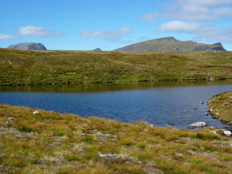
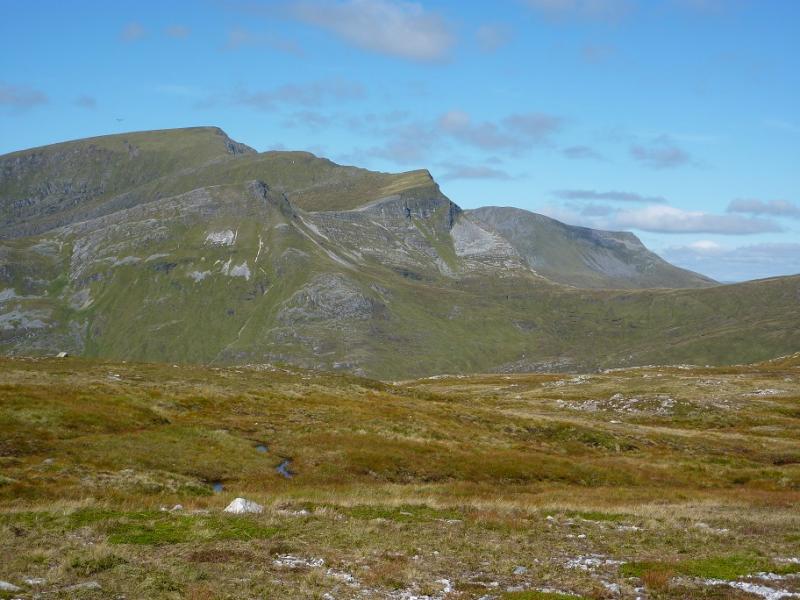
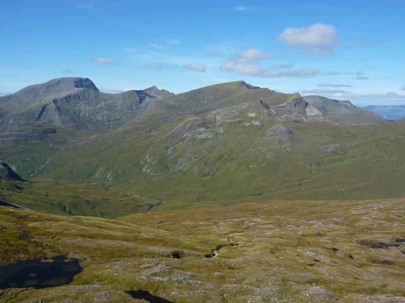
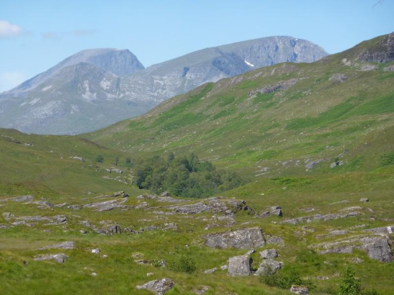
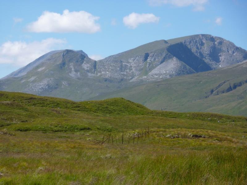
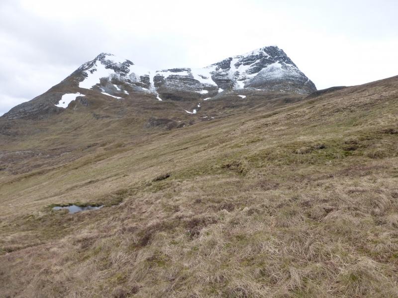
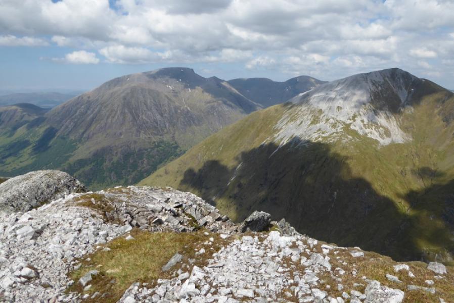
Aonach Beag from Glen Nevis
Aonach Beag from Glen Nevis
Start/Finish
Car park at end of the Glen Nevis road. This can fill up quite quickly so it is best to arrive early.
Distance/Time
16 km About 7 – 8 hours
Peaks
Sgurr a'Bhuic, 963 m, NN 204 701.
Stob Coire Bhealaich, 1100c m, NN 202 709.
Aonach Beag, 1234 m, NN 196 715. OS Sheet 41.
Introduction
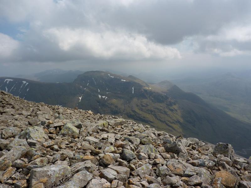
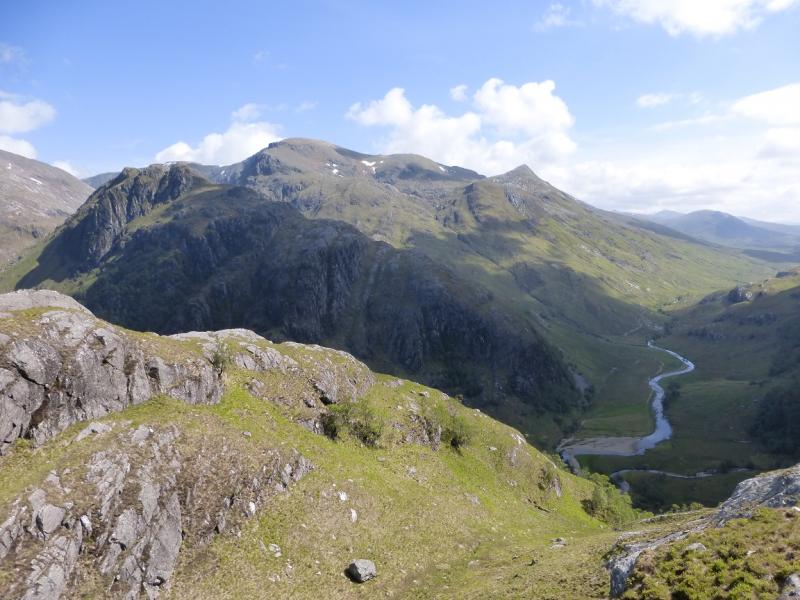
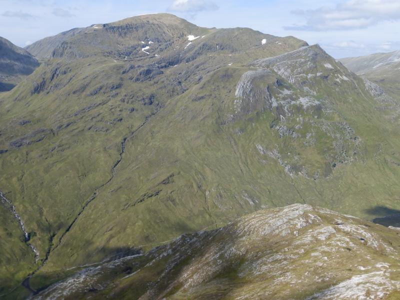
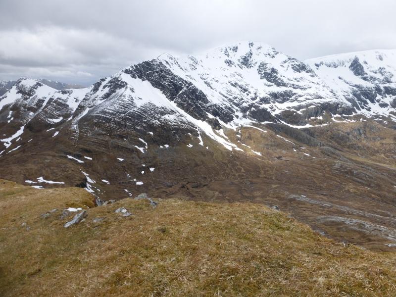
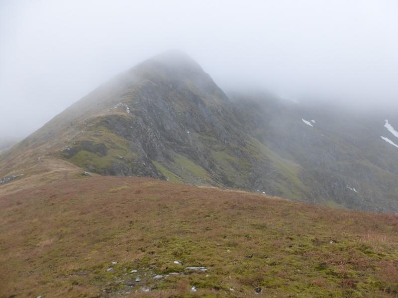
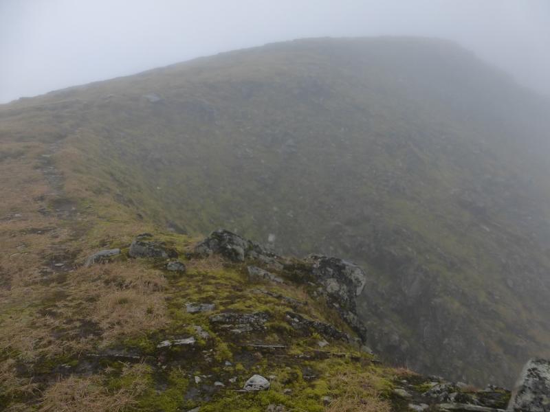
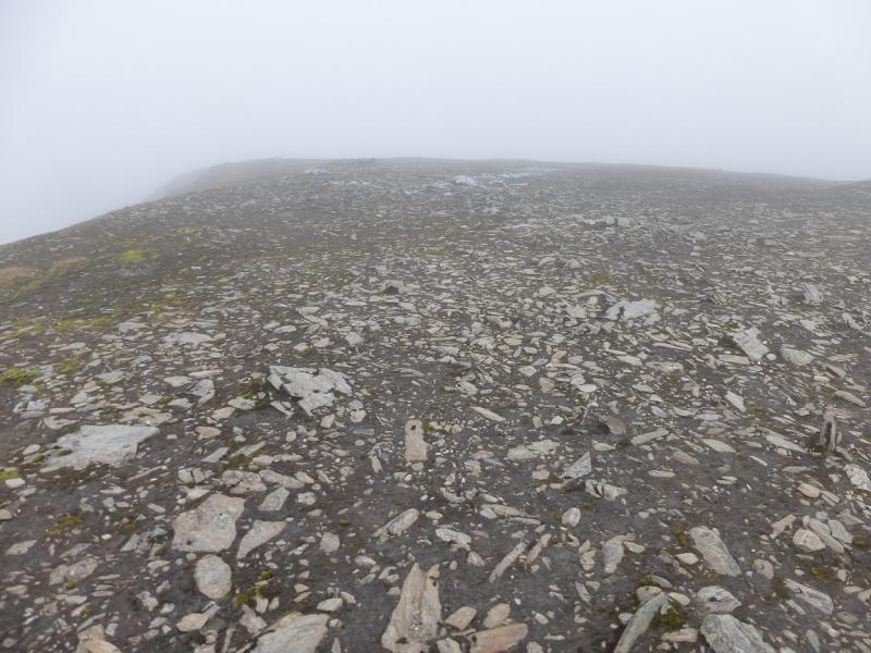
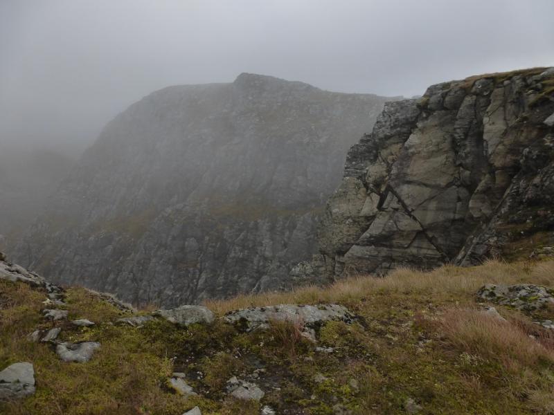
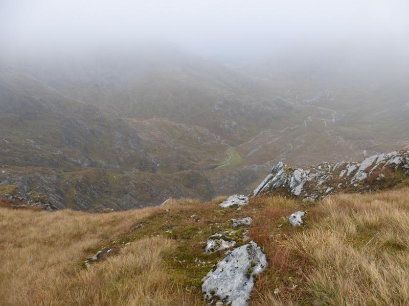
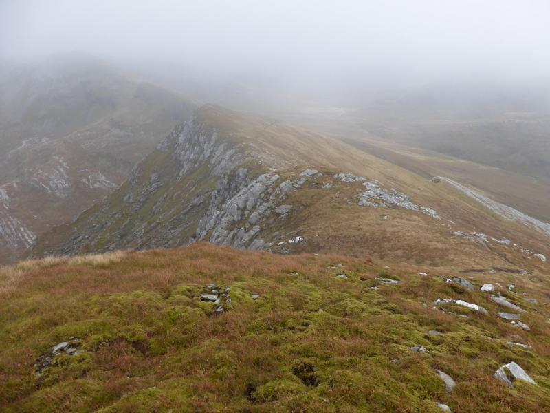
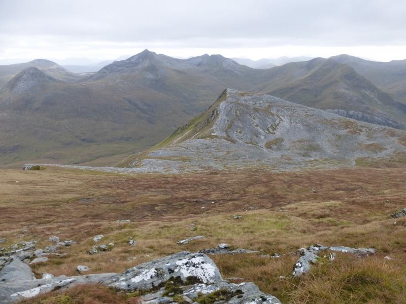
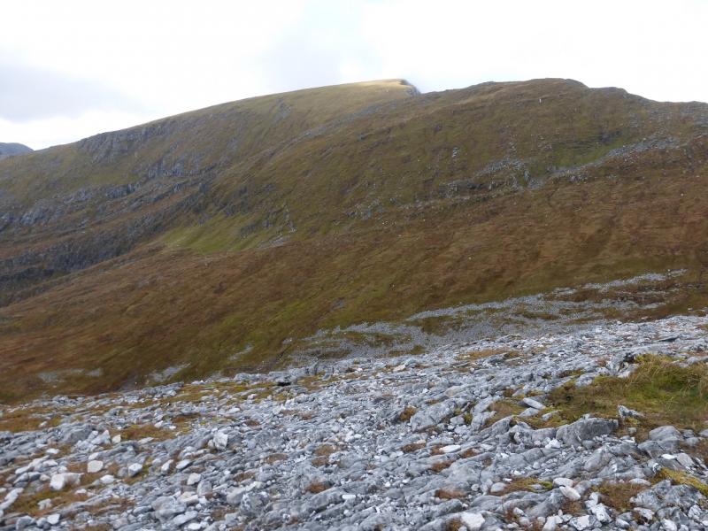
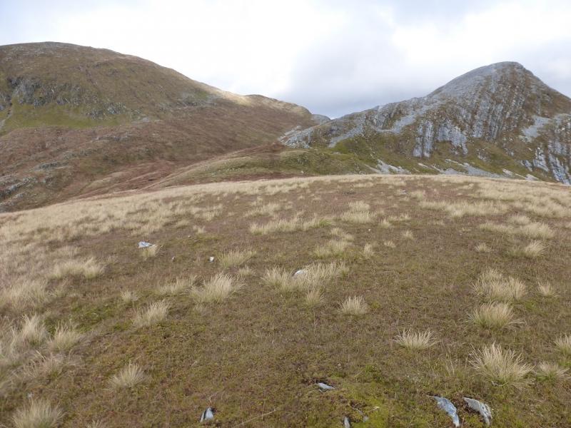
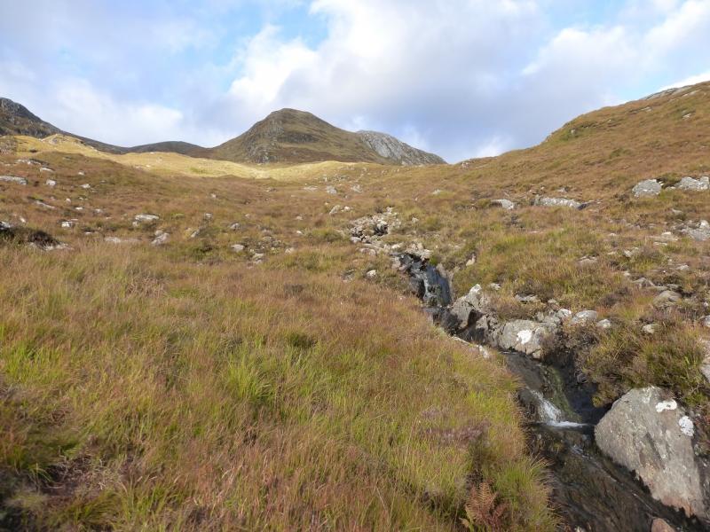
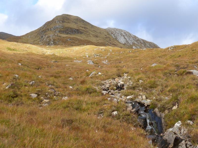
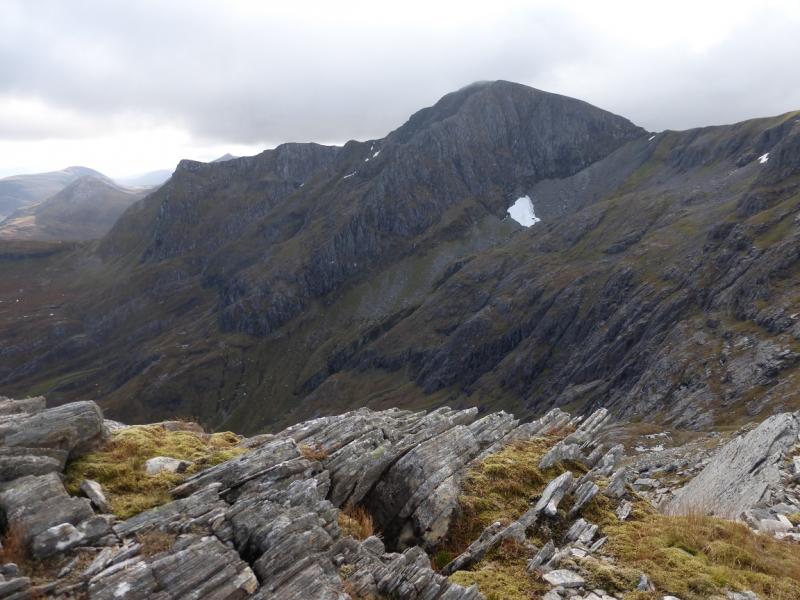
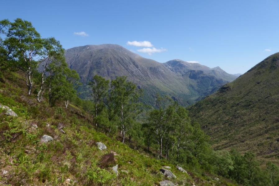
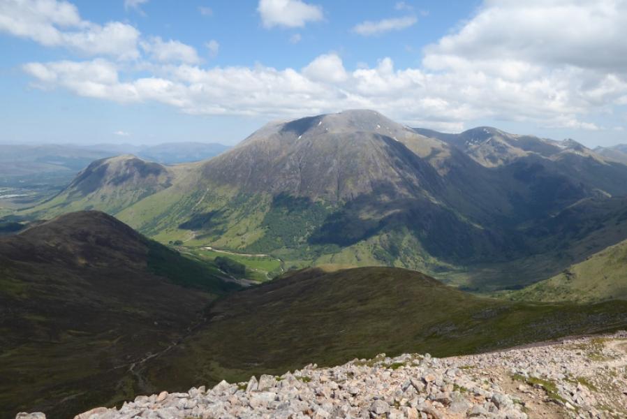
Aonach Beag is the second highest peak in the Nevis range. This route is probably the most pleasant to its summit as it goes over the top of Sgurr a'Bhuic, a fine top in its own right, then follows the edge of a well defined ridge to the summit. In Summer, the route is very straightforward but would be a major undertaking in Winter when it is only for those with the experience and equipment to cope. The route to the summit is so good that it is worth descending the same way especially if the ascent was in mist. In good weather, the views are breathtaking and include Ben Nevis, Carn Mor Dearg, the Choinnichs, Grey Corries, the eastern and central Mamoreswith views to more distant ranges. There is a good path most of the way especially higher up; lower down the path can be boggy. Unlike the summit of Ben Nevis, which is a boulder field, the summit of Aonach Beag is a gentle stony plateau. The only boulder field encountered is around Sgurr a' Bhuic and it is quite short lived.
Route
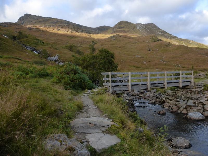
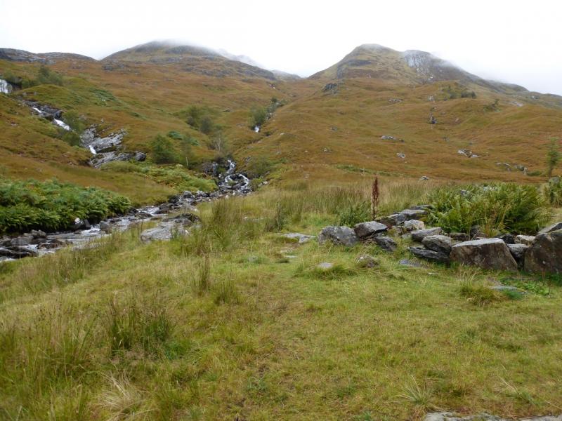
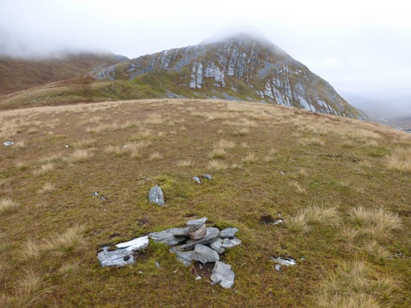
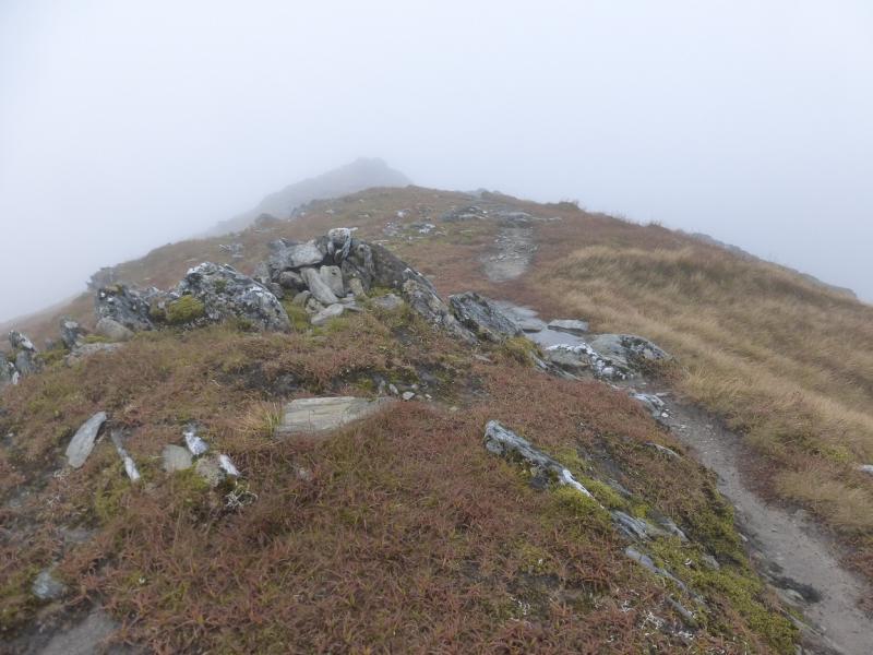
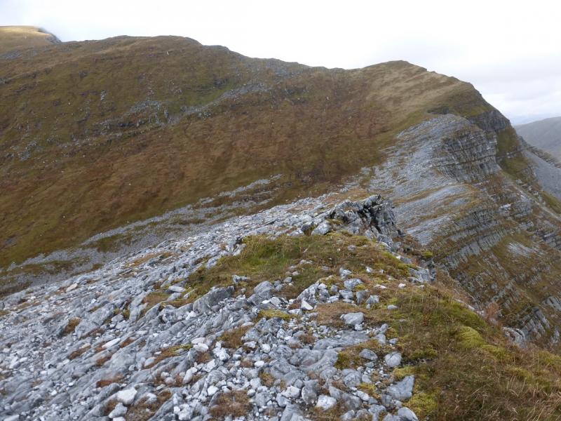
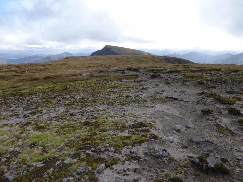
(1) Take the path from the car park to Steall. Part of the path lies above a very steep and rocky gorge. When it emerges from the wood on to a meadow, walk past the wire bridge and Steall Waterfall then continue along the N side of the River Nevis. Reach Steall footbridge just before the ruin at Steall. Cross the bridge then go immediately left on a path ascending roughly NNE by a burn. Follow this up; it can be boggy in places but not too bad. The path can be difficult to follow in places but, if in doubt, continue on the line of the burn and it should soon return. At any suitable point, trend right and gain the crest of the SW ridge of Sgurr a'Bhuic then follow a faint path up the ridge to reach a tiny cairn on a flat top. Descend a little then continue up the SW ridge, the crest of which will now be slightly to the right and quite stony. Walk up easy angled slopes to reach a medium cairn, close to an edge beyond, which is the summit of Sgurr a'Bhuic, 963 m.
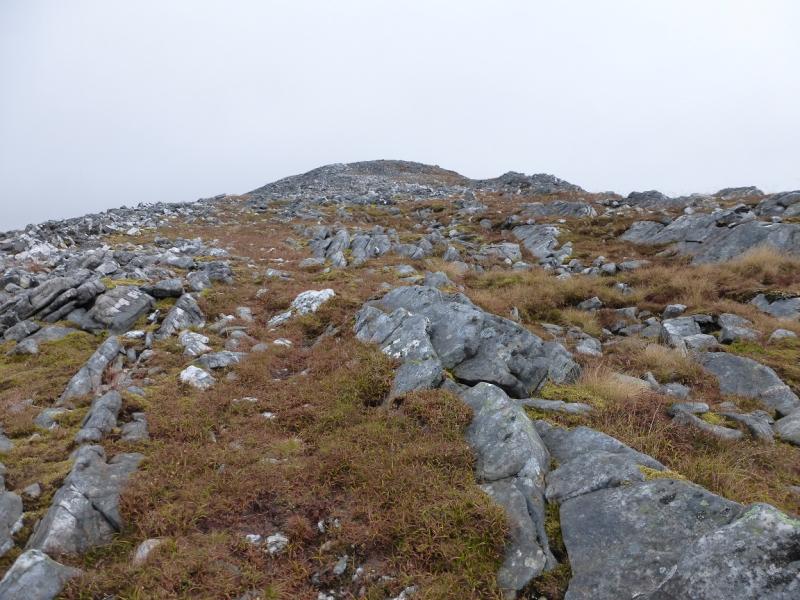
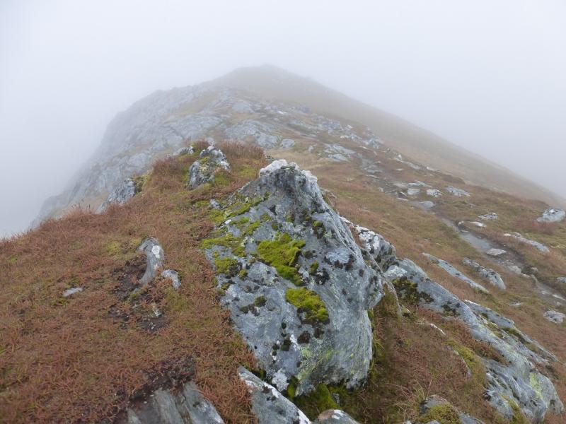
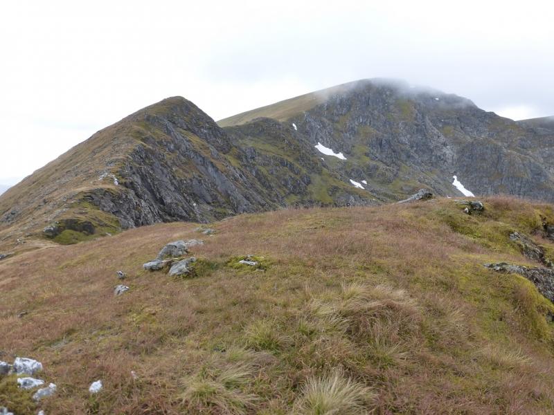
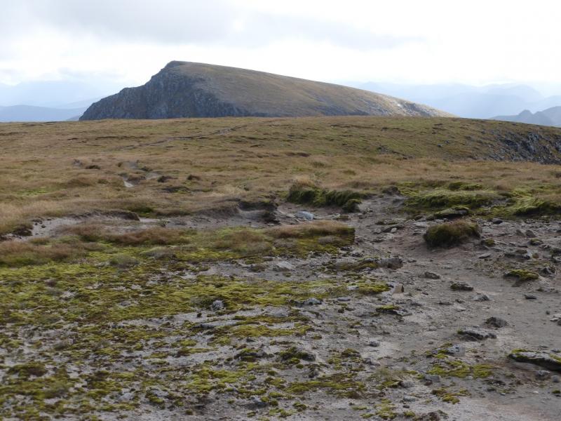
(2) Descend NNE down the well defined ridge to a stony belach full of quartzite rocks and small boulders. Pick a way up through these after which there is an obvious path close to the edge on the right. The path swings left to traverse a minor top but it worth continuing ahead and following the edge which turns left, W, at the highest point to rejoin the path soon after. Continue up with the path mainly following the edge. When it levels out, the highest point on the crest has what is best described as a scattering of stones on a small outcrop which indicates the summit of Stob Coire Bhealaich, 1100c m.
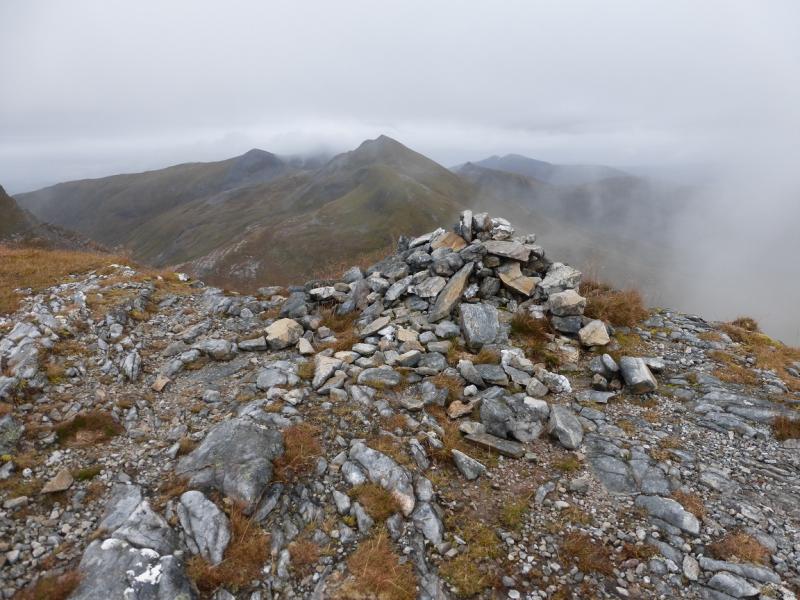
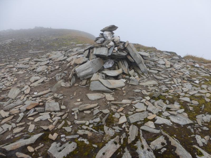
(3) The crest continues then turns more to the N making a short descent before ascending again. Higher up, there is another minor top off the path but on the line of the edge so leave the path again to make the short ascent before turning left and continuing along the edge to rejoin the path. Taking in this minor top avoids the possibility of taking a contouring path which goes off left from the path and looks like the main path. Continue up and reach the summit plateau where a medium cairn marks the summit of Aonach Beag, 1234 m.
(4) As stated above, the best route of descent is to retrace the ascent route. Sgurr a'Bhuic can be traversed on its N side if one so wishes.
Notes
(a) This walk took place on 7th September, 2015, and twice previously by similar routes.
Photos - Hover over photo for caption. Click on to enlarge. Click on again to reduce.