Get Lost Mountaineering
You are here: Scotland » 03 North-west Argyll, Appin and Glencoe » Glencoe
Bidean nam Bian via Lost Valley
Bidean nam Bian via Lost Valley from Glencoe
Start/Finish
Upper car (on right) in Glencoe.
Distance/Time
9 km Approx 7 hours
Peaks
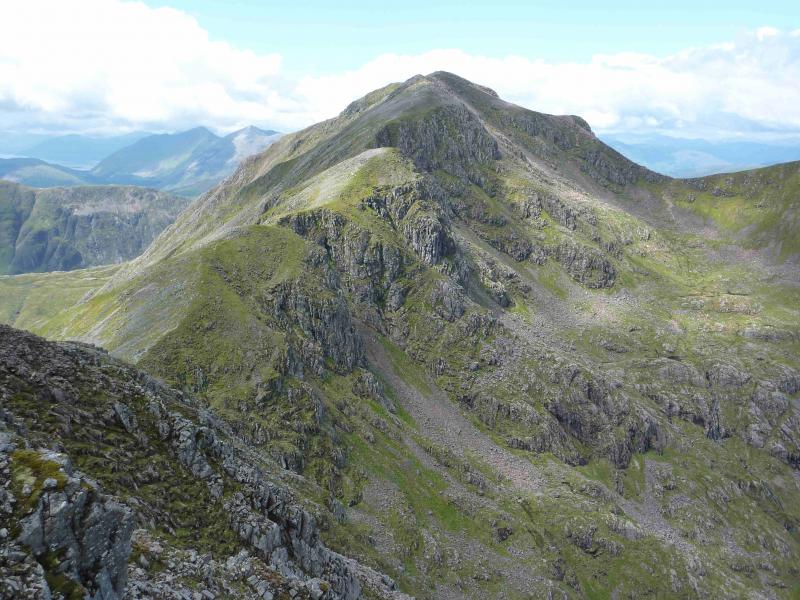
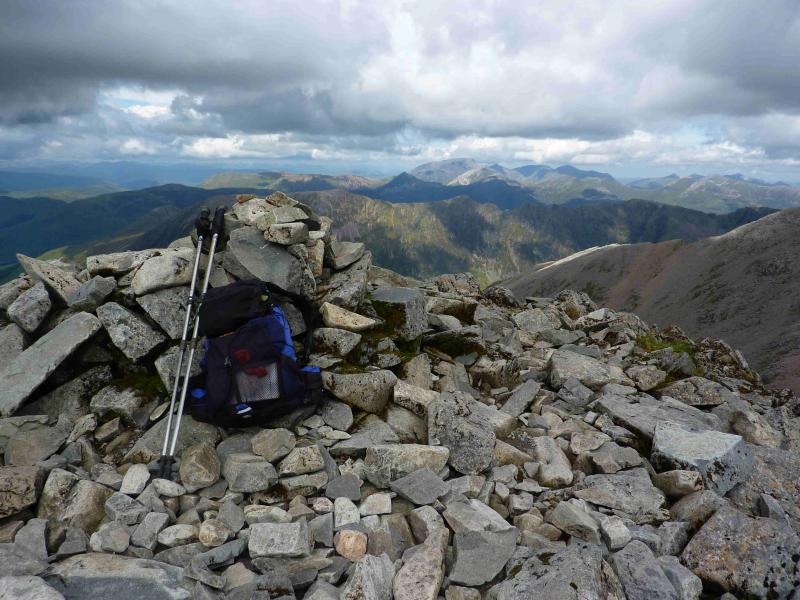
Bidean nam Bian, 1150 m, NN 143 542. OS Sheet 41.
Introduction
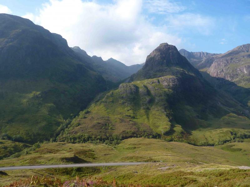
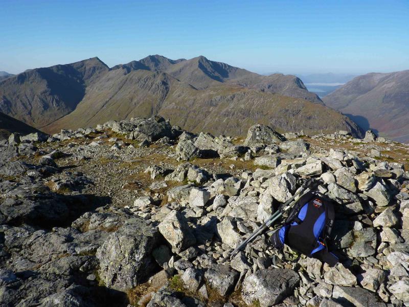
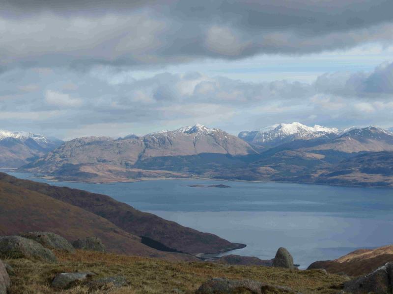
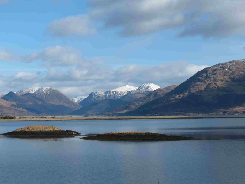
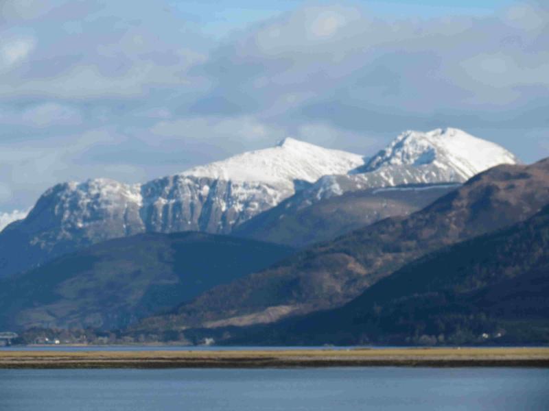
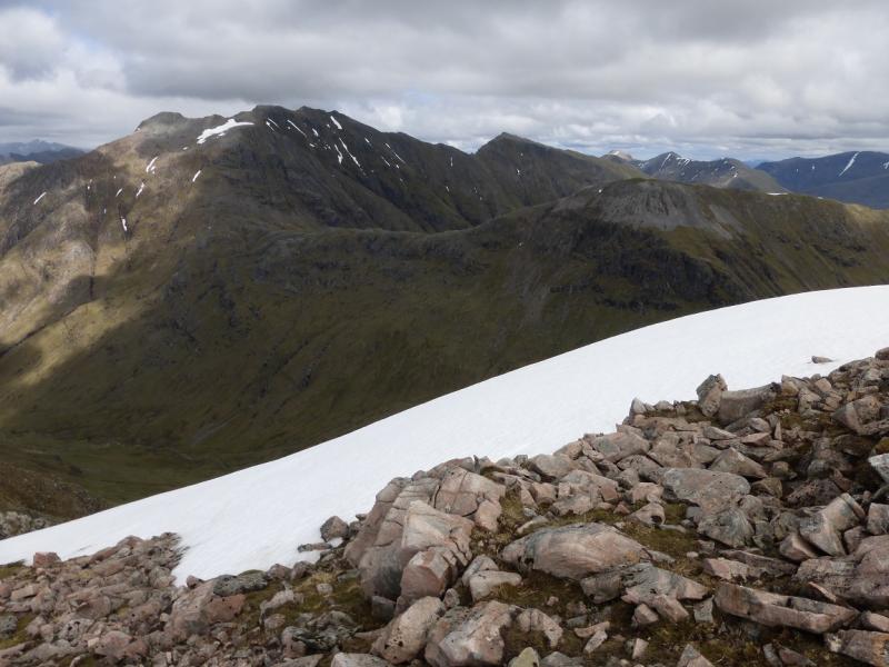
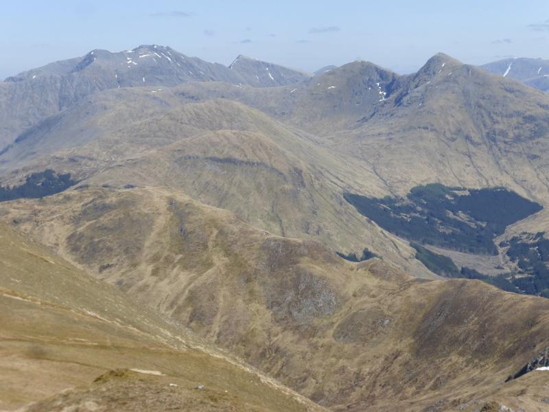
The Lost Valley is, reputedly, where the MacDonalds hid their rustled cattle. It is a high, flat and hidden valley from Glencoe. It is a lovely place. In summer conditions, this is a straight forward walk although care is needed in a few places. Bidean nam Bian is the highest summit in Glencoe so, on a clear day, gives superb views in all directions including the Glencoe peaks, Ben Nevis range, the Mamores, the Glen Etive Hills, the Ardgour hills (across Loch Linnhe) and many more. Even Ben Alder and Schiehallion are visible.
Route
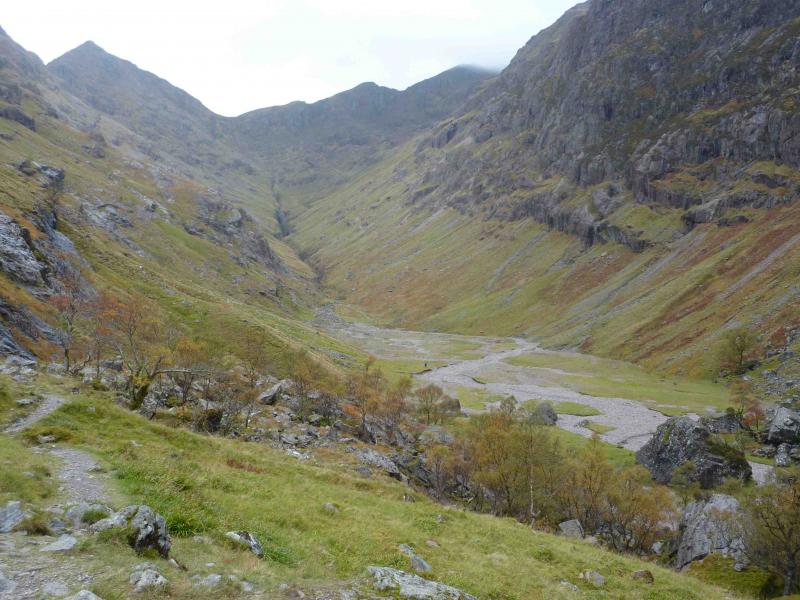
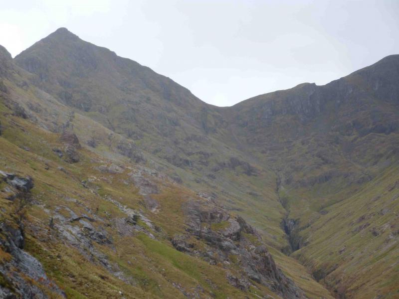
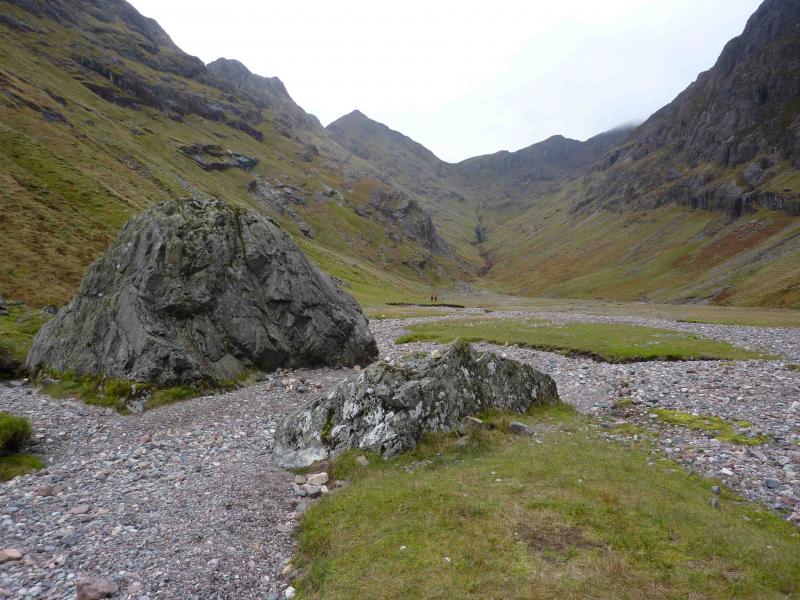
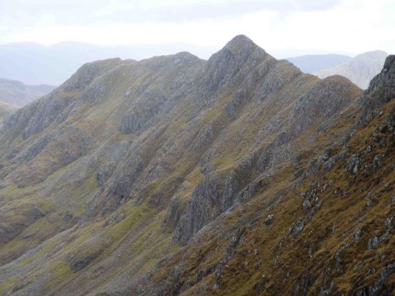
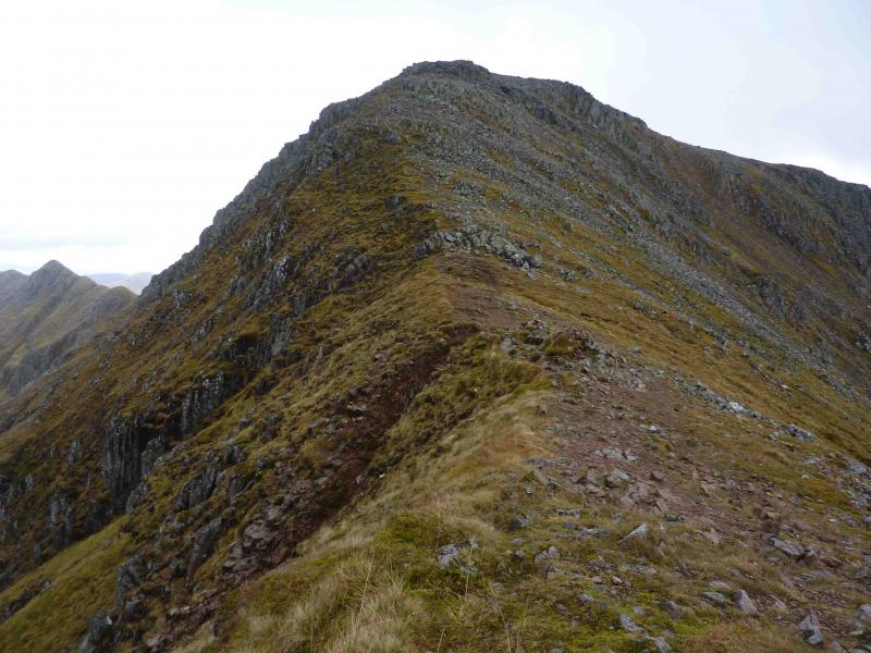
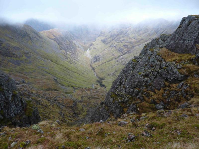
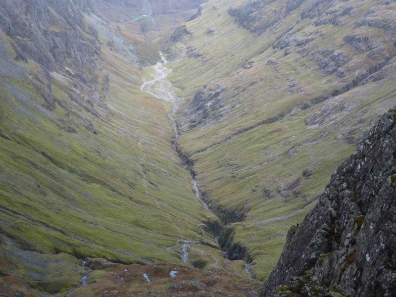
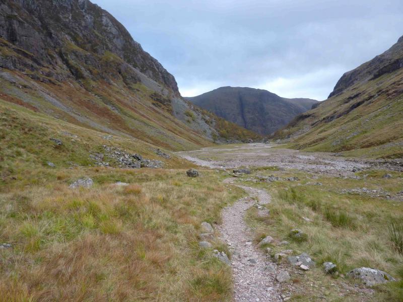
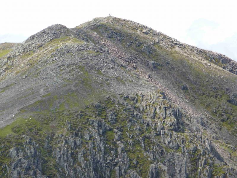
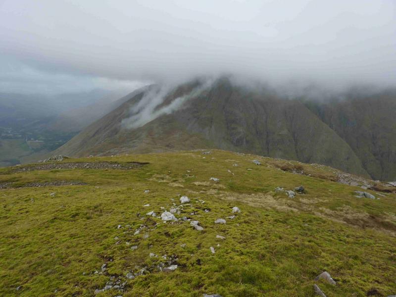
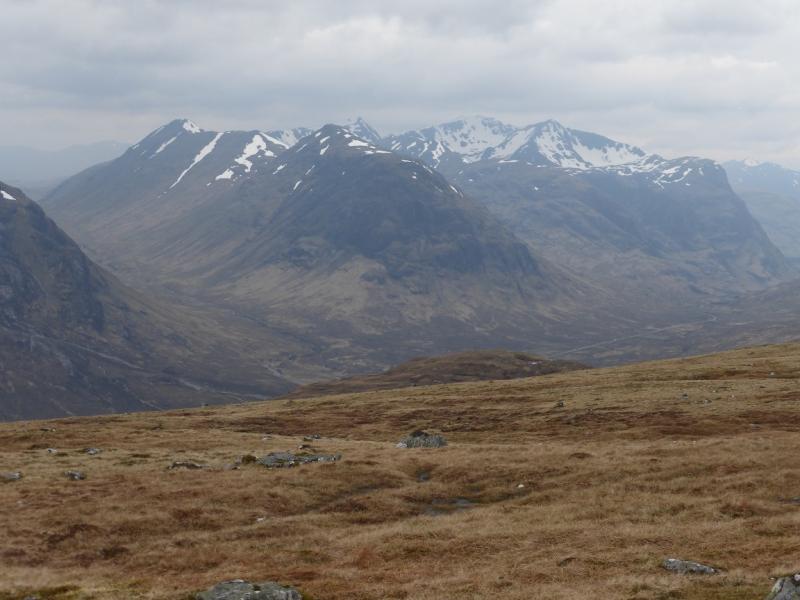
(1) Take the path out of the top of the car park which leads down to a wider footpath which leads towards the River Coe then down some wooden steps. Turn left and cross the bridge about 20 m upstream. Once across, follow the obvious path which climbs steadily, alongside a gorge in places, before it levels off at the entrance to the Lost Valley where there are several huge boulders. The path leads into flattish ground which is grassy and stony and one can walk almost anywhere. Continue up the valley until a good path appears on the right and climbs steadily above a stream which soon becomes another gorge. The path is soon well above the gorge. At an obvious fork, go left/straight on. (The right fork goes up on to the ridge between Bidean nam Bian and Stob Coire nan Lochan.) In between these two paths is a high narrow waterfall set back some distance. Continue on the path, aiming for an obvious red rock gully which climbs on to the crest. This part of the route has red rock on the left and grey rock on the right. There is an obvious scree path through the red rock but there is a better path to the right in the grey rock. Higher up, there is less choice and one is forced into the red rock and scree. The final red rock gully is short and loose but is easy angled so should present no difficulties. It is possible to ascend on the rock to its left with more than a hint of a path. At the top of the gully is a cairn on the crest. Turn right, NW, and follow the obvious path over some cairned intervening tops before the final rise to the medium summit cairn of Bidean nam Bian, 1150 m. On the summit, one path goes NW to Stob Coire nam Beith whilst a second path goes NE to Stob Coire nan Lochan.
(2) Return by the same route.
Notes
(a) This walk took place on 15th October, 2010.
Photos - Hover over photo for caption. Click on to enlarge. Click on again to reduce.