Get Lost Mountaineering
You are here: Scotland » 11 Kintail and Glen Affric to Loch Ness » Invermoriston to North Glen Shiel
Saileag, Sgurr a' Bhealaich & Aonach Meadhoin from Glen Shiel (Brothers)
Saileag, Sgurr a' Bhealaich & Aonach Meadhoin (Brothers)
from Glen Shiel
Start/Finish
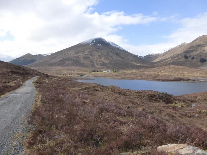
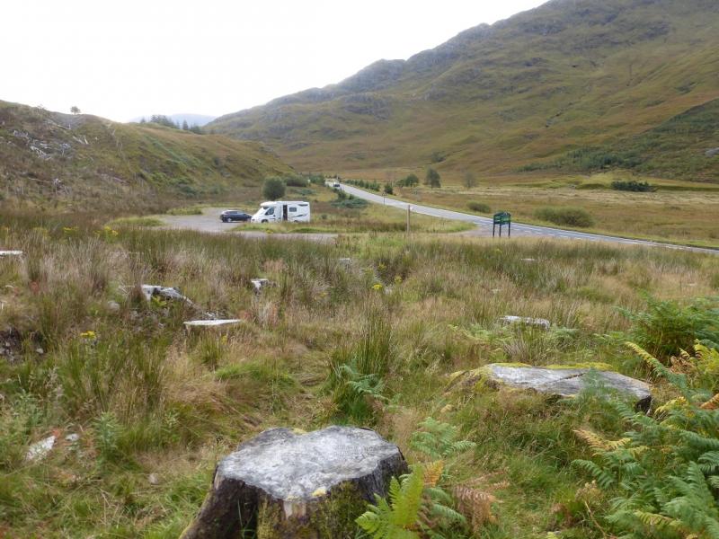
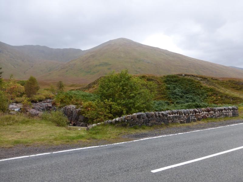
About 6 miles south east of Shiel Bridge garage on the A87 from the Kyle of Lochalsh to Invergarry. There is a rough car park signed Glen Shiel at about NH 007 137. This is just under 6 miles west of the Cluanie Inn. If the car park is full then there is a lay by a short distance to the west. The A87 is on a national bus route which could allow one to leave their car at the end of the walk and take the bus to the start.
Distance/Time
10 km About 7 - 8 hours
Peaks
Saileag, 956 m, NH 017 148.
Sgurr a' Bhealaich Dheirg, 1036 m, NH 035 143.
Aonach Meadhoin, 1001 m, NH 049 137.
Sgurr an Fhuarail, 987 m, NH 054 139. OS sheet 33.
Introduction
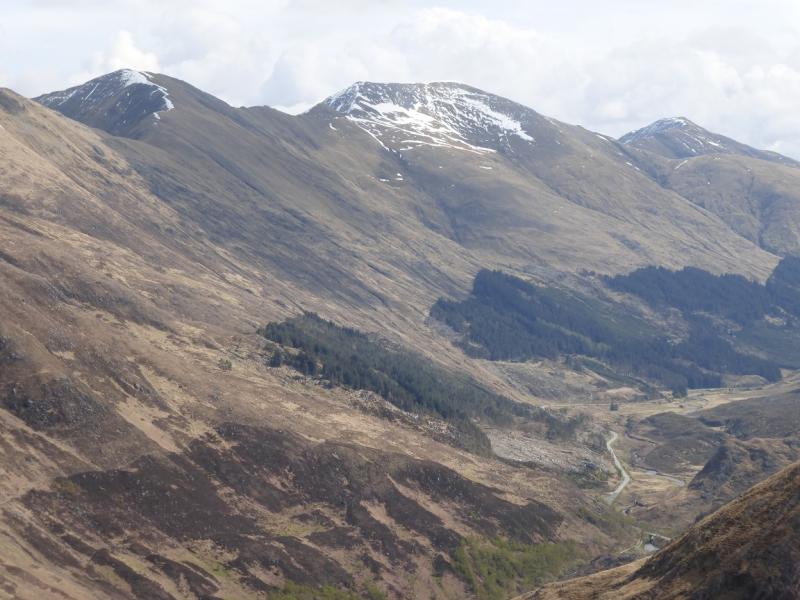
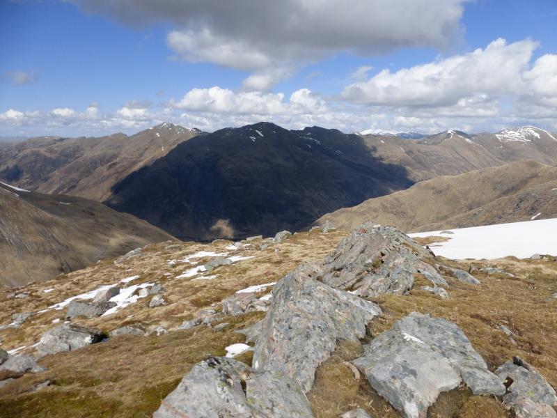
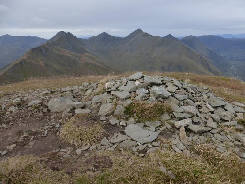
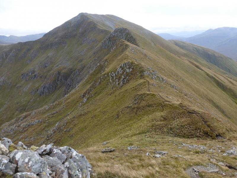
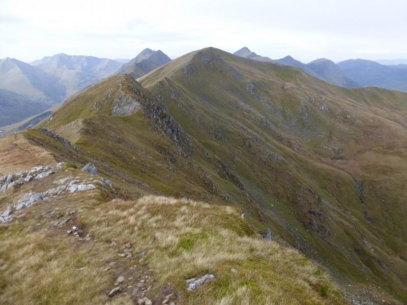
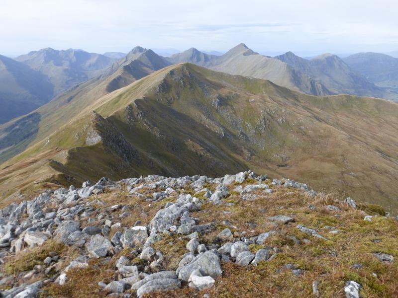
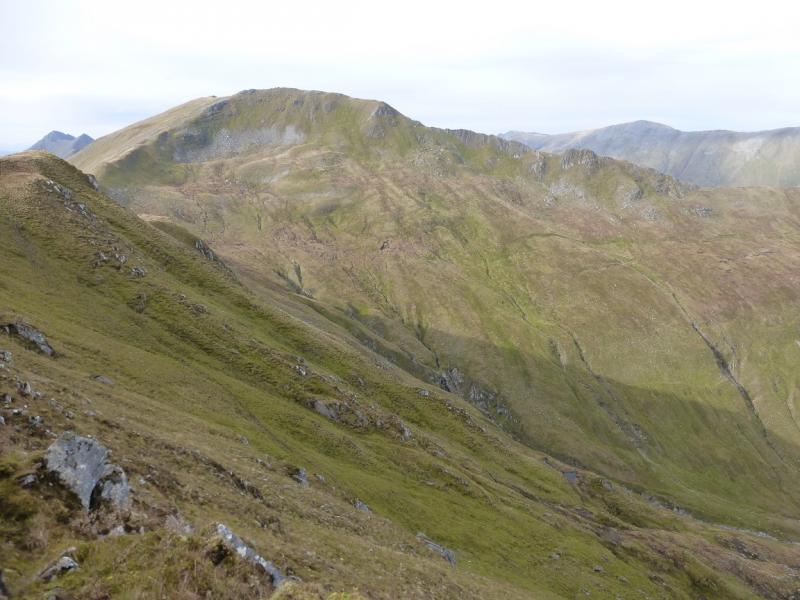
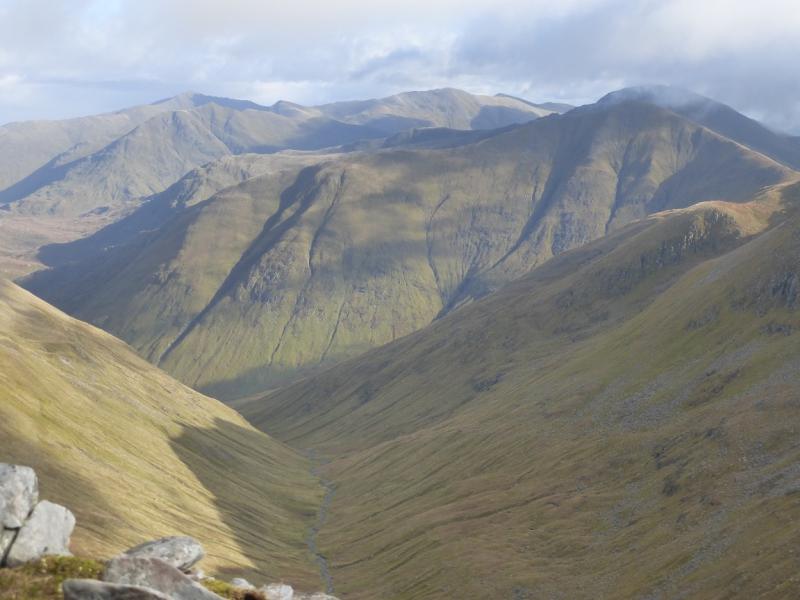
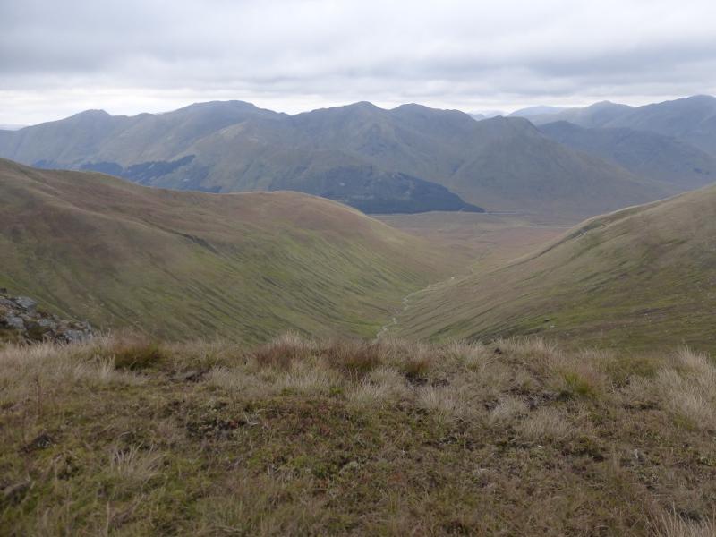
This is a tough walk with steep ascents, especially to the ridge from the start, and a long, rough descent at the end of the day. The crest is often narrow but should not be a problem in dry summer conditions. It is a very serious undertaking in anything but dry summer conditions and is no place for the inexperienced in winter conditions. On a clear day there are superb views to the Five Sisters, South Glen Shiel Ridge, Ciste Dhubh, Mullach Fraoch-choire, A' Chralaig and beyond. Some people refer to these peaks as “The Brothers” since they are the eastern continuation of “The Five Sisters”.
Route
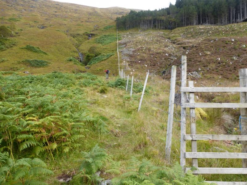
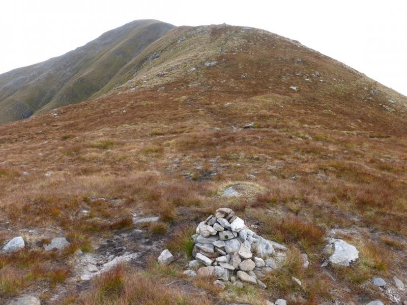
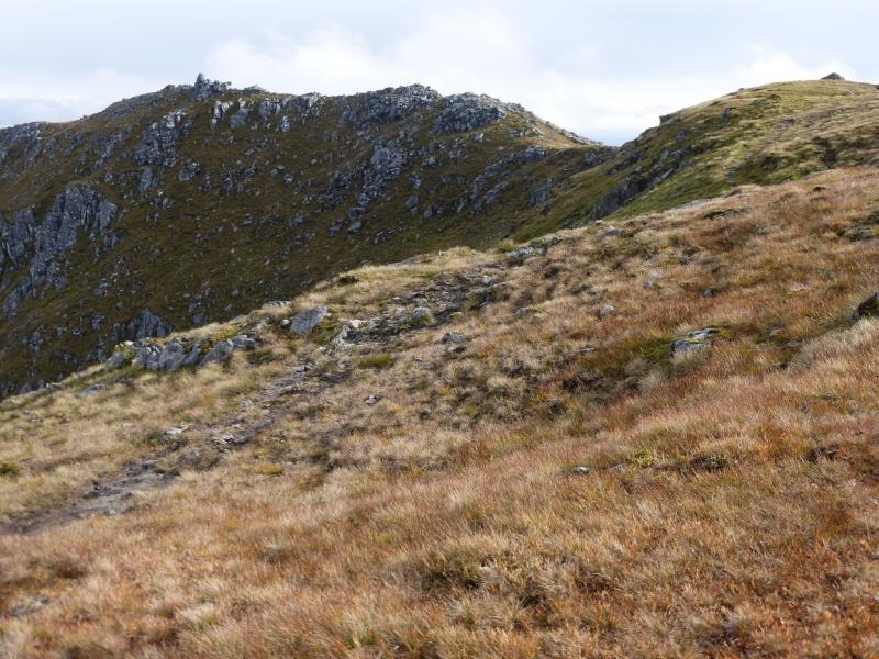
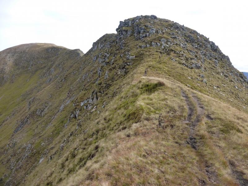
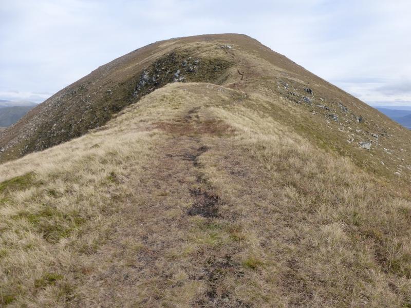
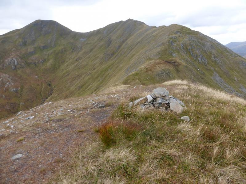
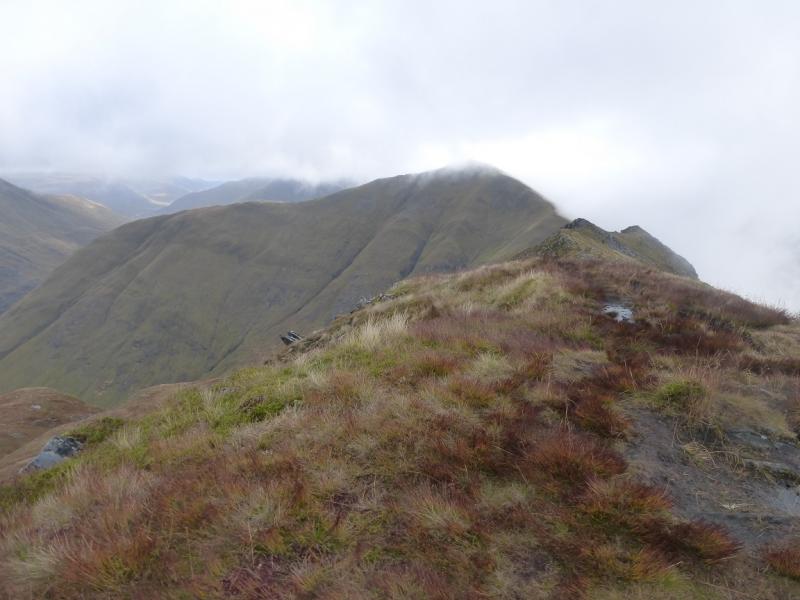
(1) Follow the path up the left side of the fence on the side of the forest. This can be steep and boggy especially lower down. The path weaves around and crosses some burns lower down. It is steep and unrelenting up to the crest but most will not need much more than an hour to reach the small cairn in the Bealach an Lapain. Turn right, E, and follow the obvious path up a well defined ridge and soon reaches a medium cairn which is the summit of Saileag, 956 m.
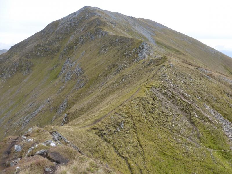
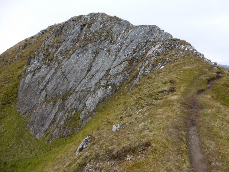
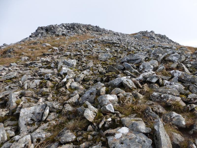
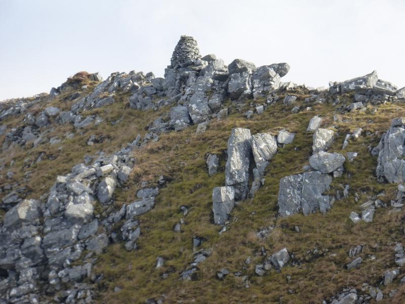
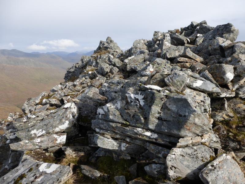
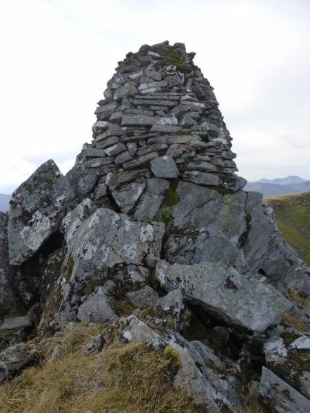
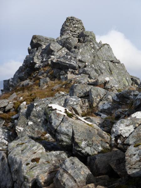
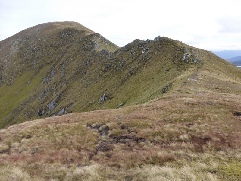
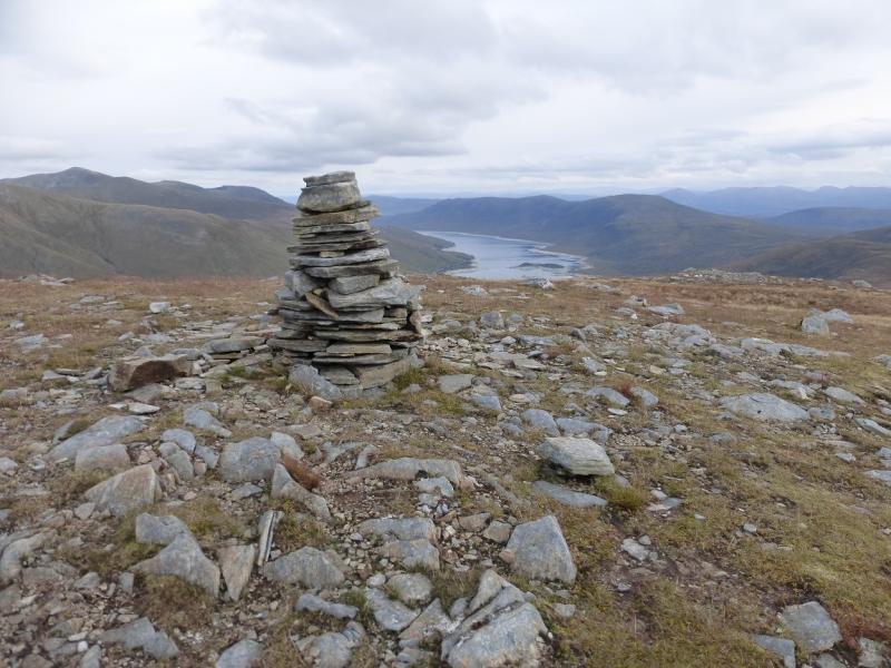
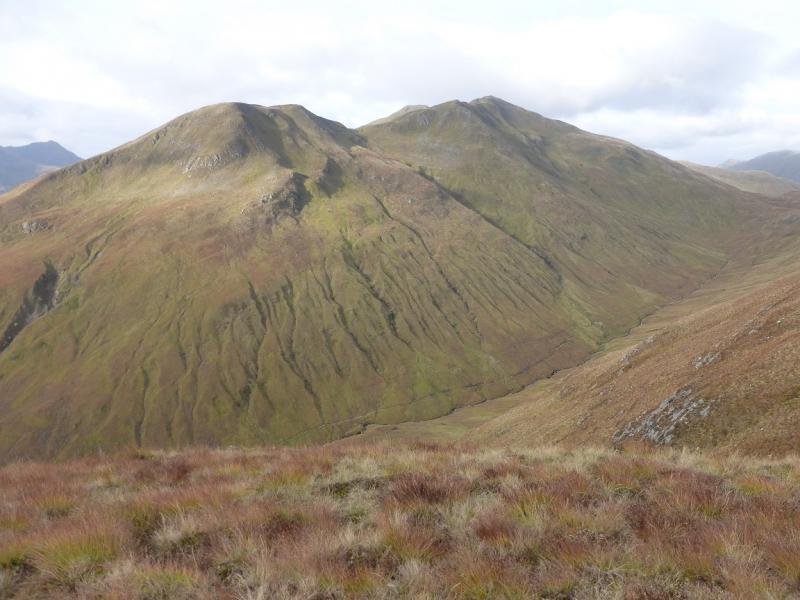
(2) Descend WNW, still on a good path, to a bealach then ascend up a more rocky ridge to reach a cairn marking the start of the long level summit crest. Further along is another similar sized cairn. Beyond this is the start of a dry stone wall which starts along the N ridge before disappearing into a boulder field which needs care to cross. The summit is only about 60 m along the N ridge and is a very distinctive large and tall cairn which marks the summit of Sgurr a' Bhealaich Dheirg, 1036 m. In mist, this cairn might not be visible from the main ridge and one could mistake one of the other cairns for the summit.
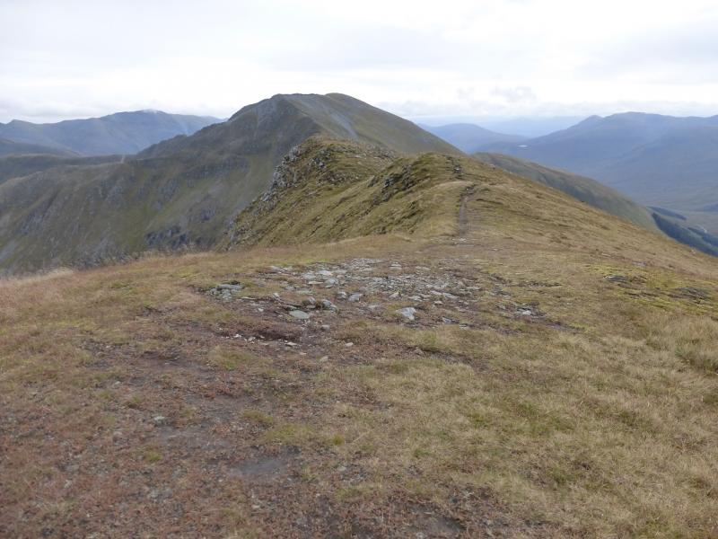
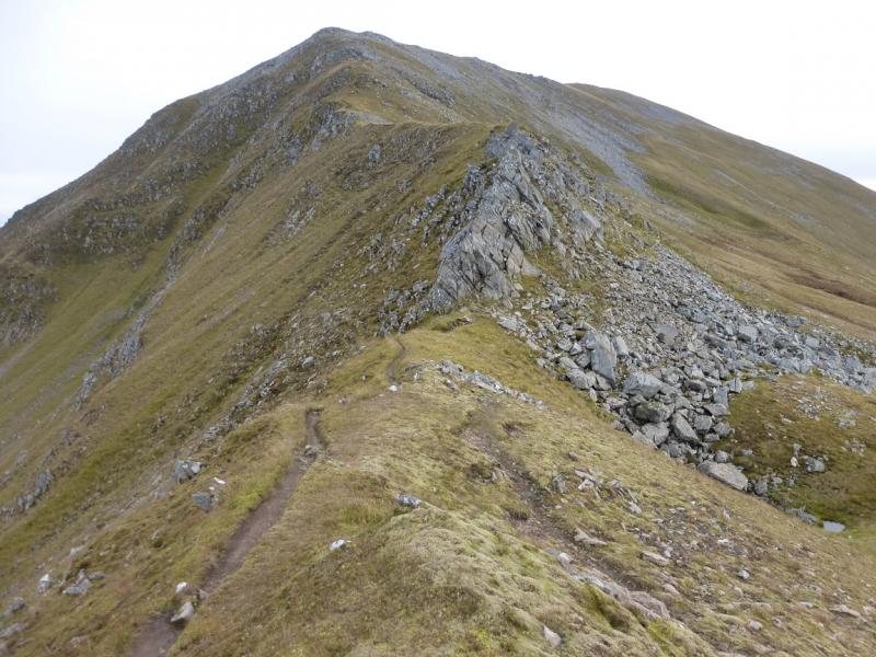
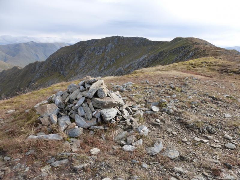
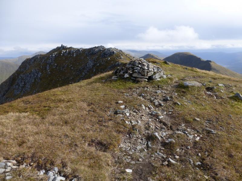
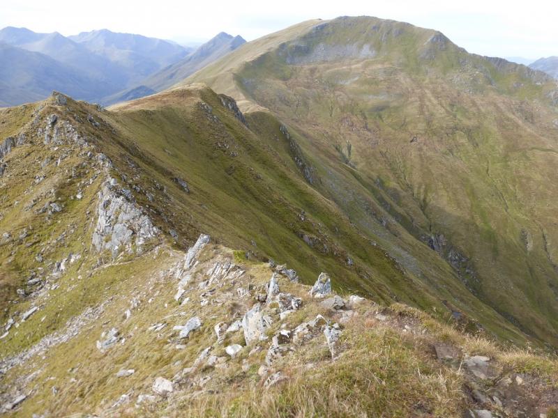
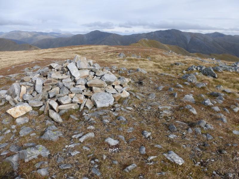
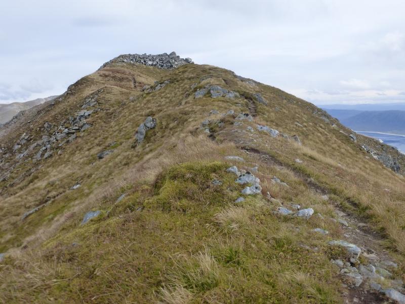
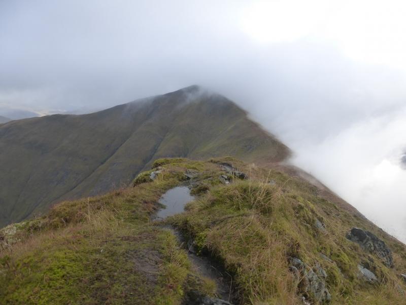
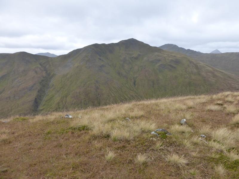
(3) Retrace to the start of the wall where a path continues along the ridge heading mainly WNW down to a bealach before ascending up another well defined ridge with some rocky sections but still on the good path. Eventually, the gradient eases and a medium cairn which marks the summit of Aonach Meadhoin, 1001 m.
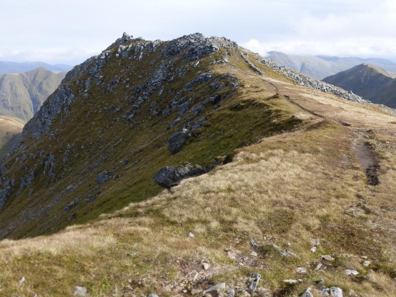
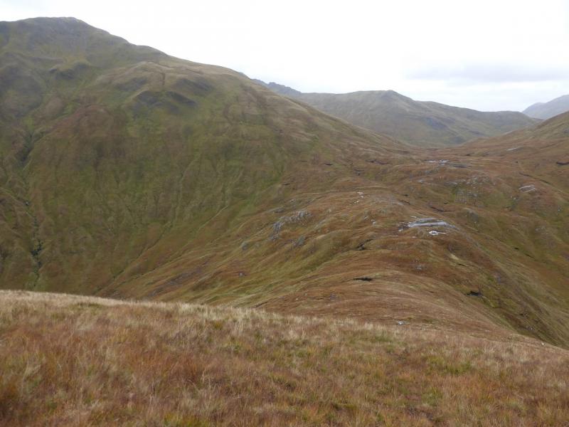
(4) Continue along the crest, descending to a bealach then ascending another well defined ridge to reach the medium cairn which marks the summit of Sgurr an Fhuarail, 987 m.
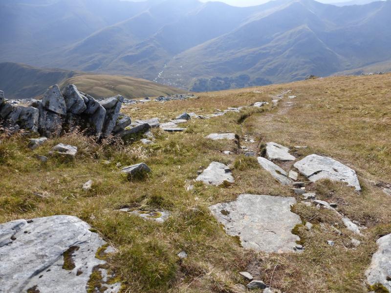
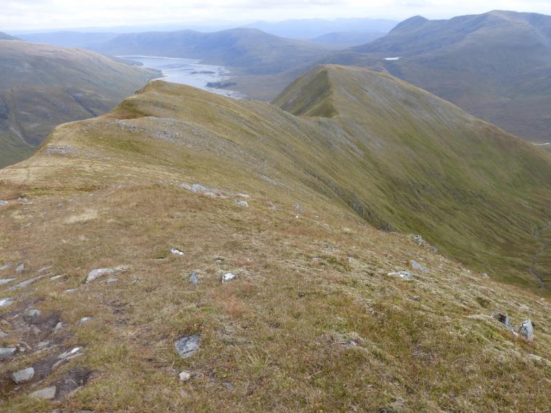
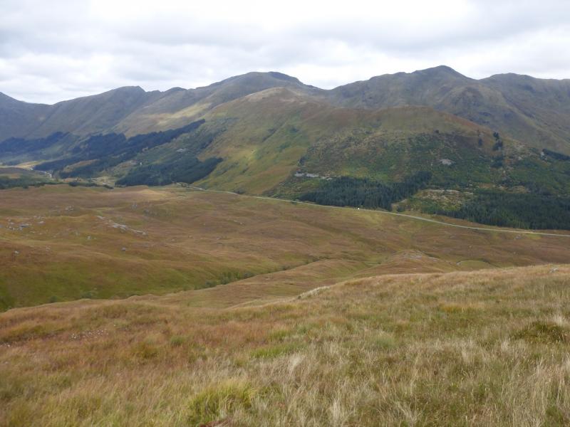
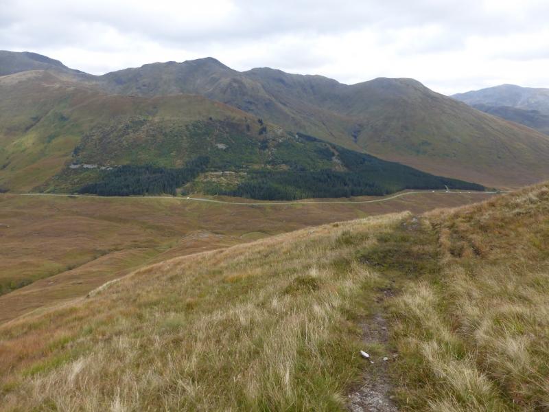
(5) Descend down the well defined path down the SE ridge which includes an ascent to a cairned top. Further on there is another cairned top then a more distinctive cairn well off to the left. If you wish to minimise the road walking then continue S down the ridge which is pathless, steep and rough in places but not too bad. Pick a way down, with the forest a useful guide, until a stalker's path is reached at the foot and follow this back to the A87 about 5 km from the start.
Notes
(a) This walk took place on 11th October, 2015 and twice previously.
(b) Accommodation is limited at Shiel Bridge but there are two camp sites. One behind the garage, the other at Morvich on the old road around Loch Duich. The latter is run by the Caravan Club and has very good facilities including Wi-Fi.
Photos - Hover over photo for caption. Click on to enlarge. Click on again to reduce.