Get Lost Mountaineering
You are here: Scotland » 11 Kintail and Glen Affric to Loch Ness » Invermoriston to North Glen Shiel
Carn Ghluasaid, Sgurr nan Conbhairean & Sail Chaorainn from Lundie near Cluanie
Carn Ghluasaid, Sgurr nan Conbhairean & Sail Chaorainn
from Lundie near Cluanie
Start/Finish
The Cluanie Inn is a well known landmark at the western end of Loch Cluanie on the A87 from Invergarry to Kyle of Lochalsh. Lundie is an old ruin about 4 miles east of the Cluanie Inn or about 2 miles west of the Cluanie Dam. It is a large and rough car park.
Distance/Time
21 km. About 9 hours.
Peaks
Carn Ghluasaid, 957 m, NH 146 125.
Creag a' Chaorainn, 998 m, NH 137 131.
Sgurr nan Conbhairean, 1109 m, NH 130 139.
Sail Chaorainn, 1002 m, NH 133 154.
Carn na Coire Mheadhoin, 1001 m, NH 134 158.
Tigh Mor na Seilge, 929 m, NH 140 166.
Drochaid an Tuill Easaich, 1001 m, NH 120 134. OS sheet 34.
Introduction
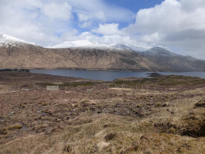
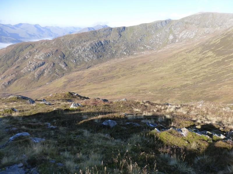
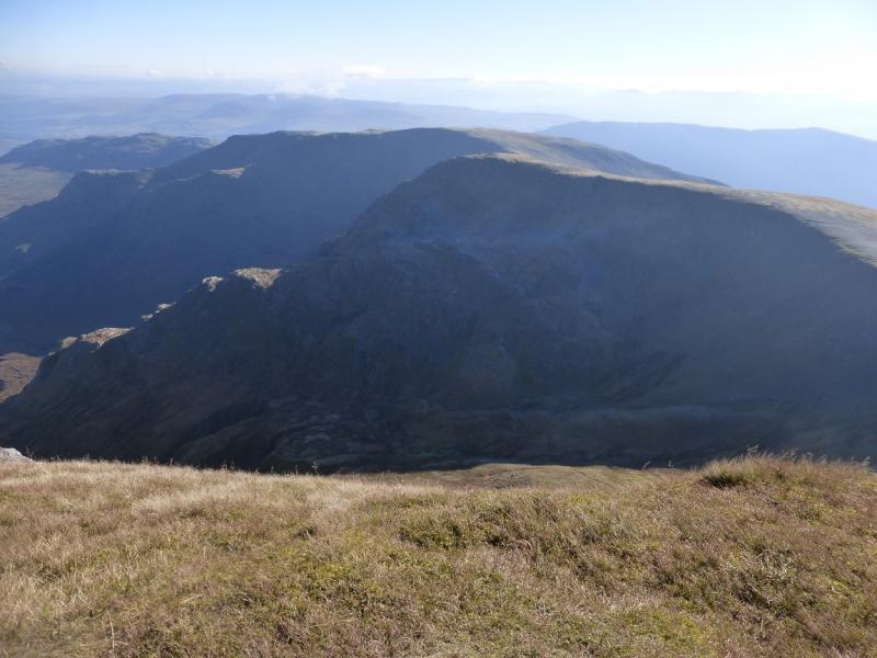
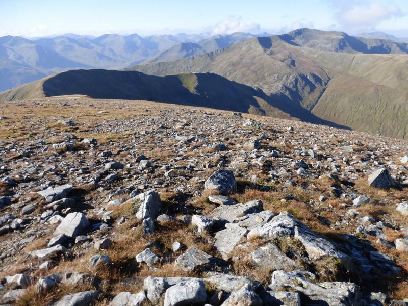
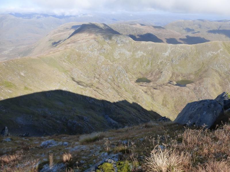
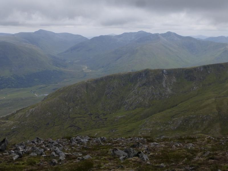
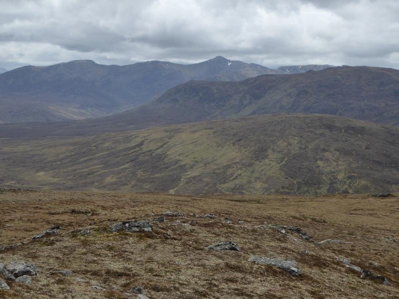
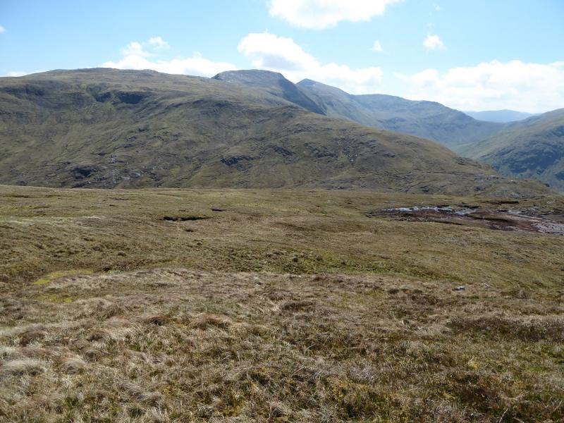
This is a long walk with lots of ascent and re-ascent but it gives superb views on a clear day. The views include the eastern end of the South Glen Shiel, A' Chralaig, most of the Glen Affric hills and many more. The nearest place for accommodation, excluding the Cluanie Inn, is Shiel Bridge to the west. The return path down the south ridge of Drochaid an Tuill Easaich is rough, steep and boggy in places.
Route
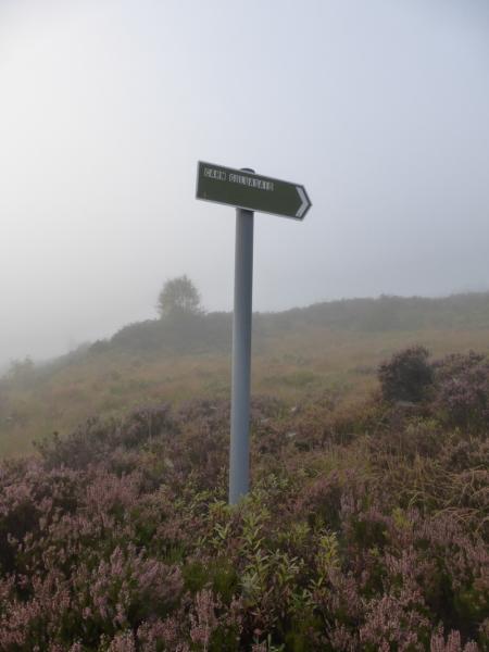
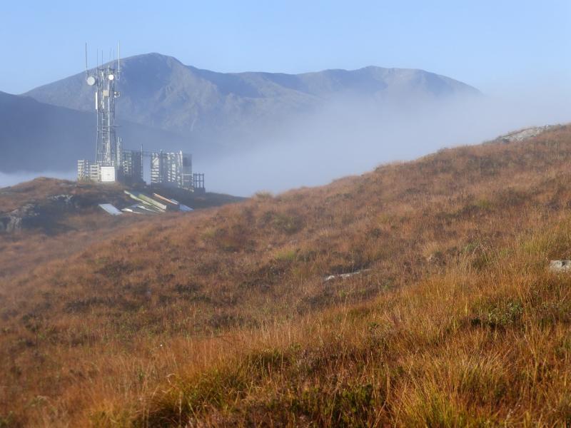
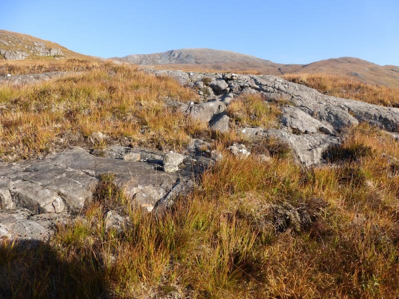
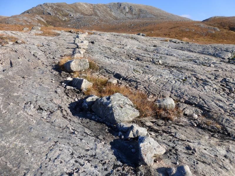
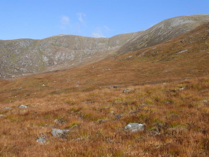
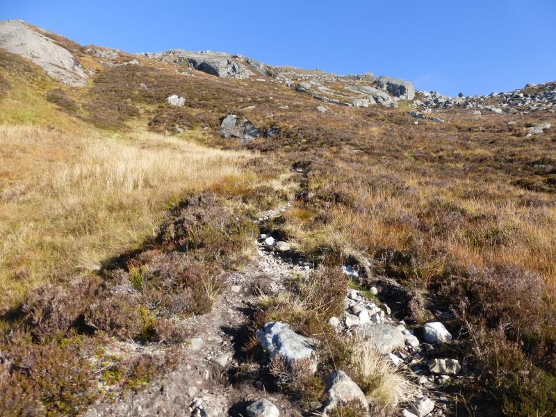
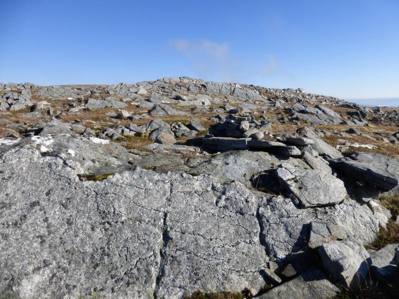
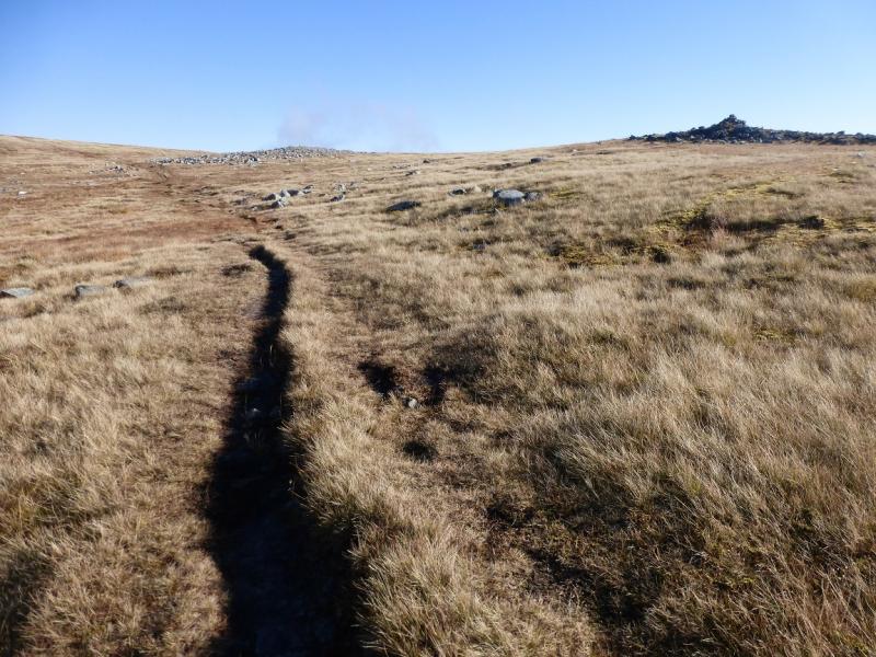
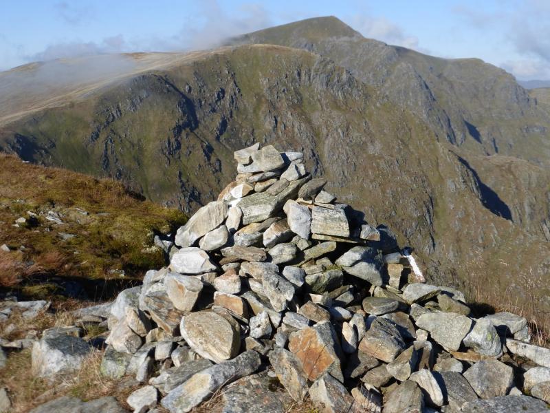
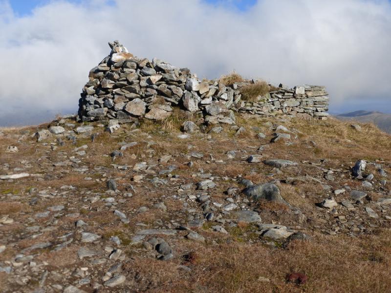
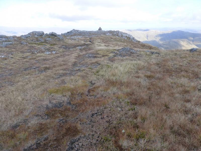
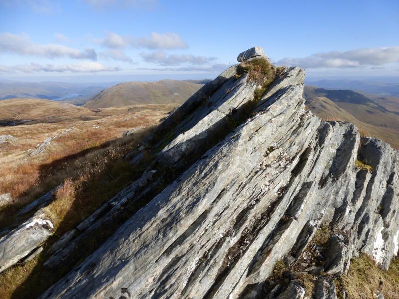
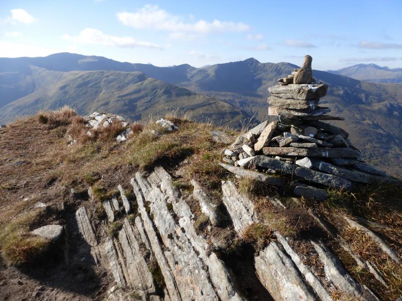
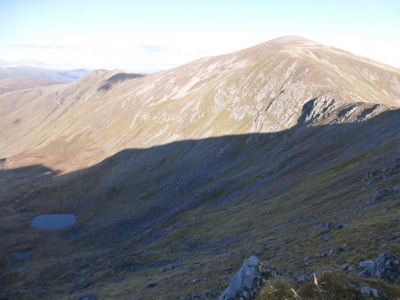
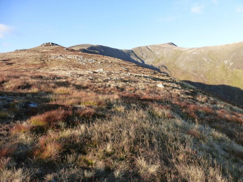
(1) Close to the car park but across the road is a section of the old road. From its S end, follow it until just before a bridge then go left on to a track signed for Carn Ghluasaid. This goes to an telecommunications aerial where it goes right before turning into a path and zig zagging up in a generally N direction. There is a curious section where the path follows a line of large rocks across a slab. Higher up, the path reaches the WSW ridge of Carn Ghluasaid and ascends to the large and featureless summit plateau. A small cairn is passed then there is a larger one well to the right of the path. Further on, two medium cairns close together, at about the same altitude, seem to mark the highest point of Carn Ghluasaid, 957 m. The larger cairn is the one nearer the edge and this may be the true summit.
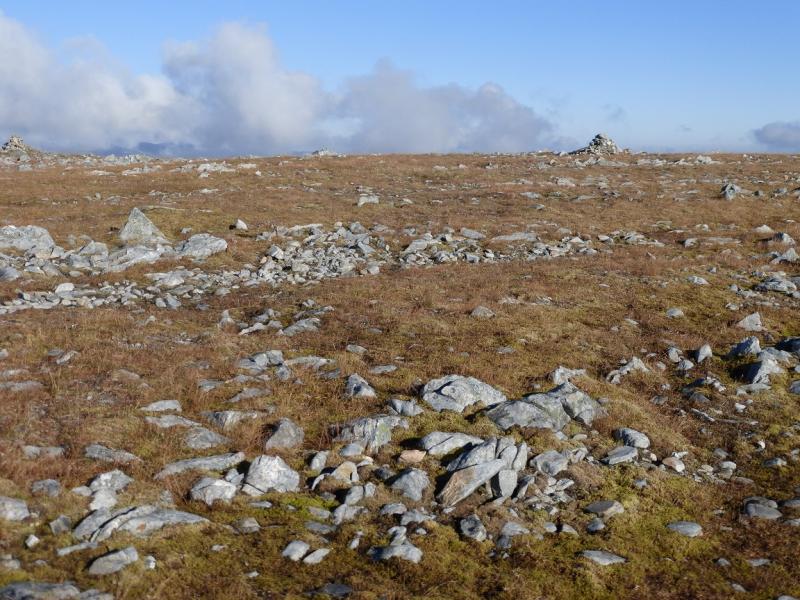
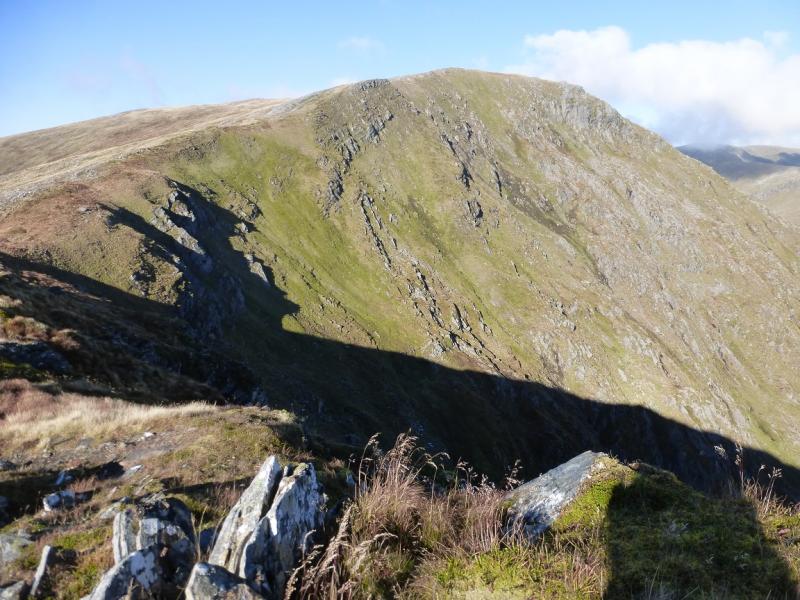
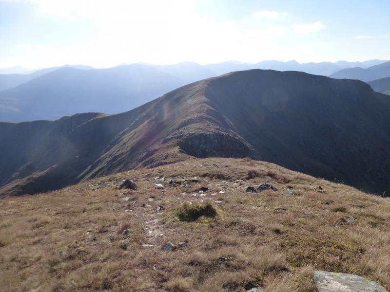
(2) Continue, initailly W, along the edge. Little height is lost in descending to the bealach before ascending up the other side. Stay close to the edge and soon reach a medium cairn which is the summit of Creag a' Chaorainn, 998 m.
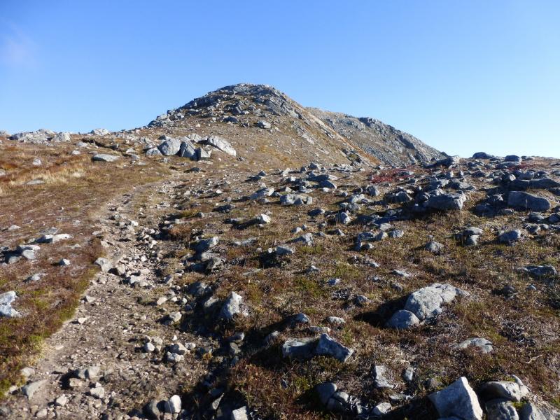
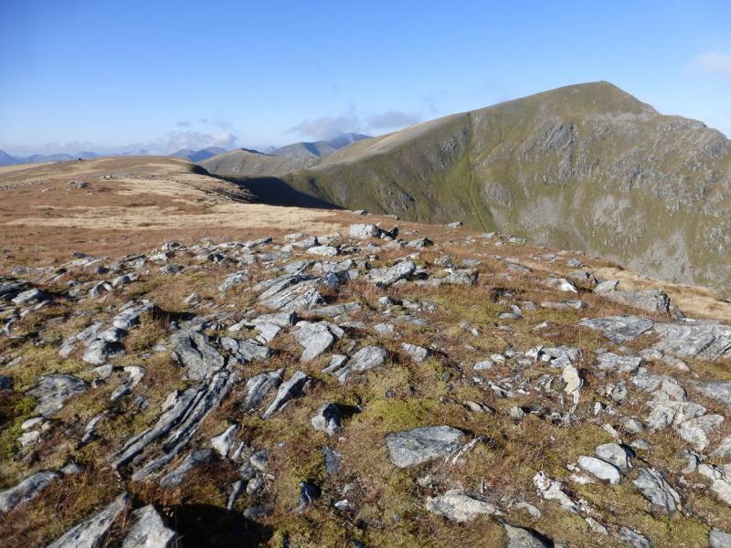
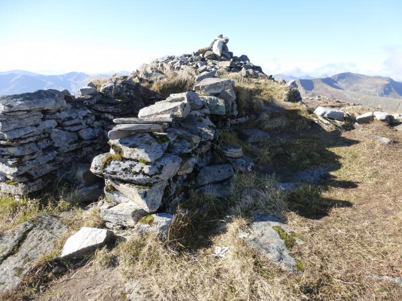
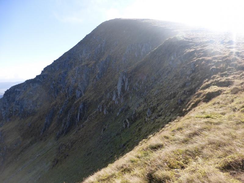
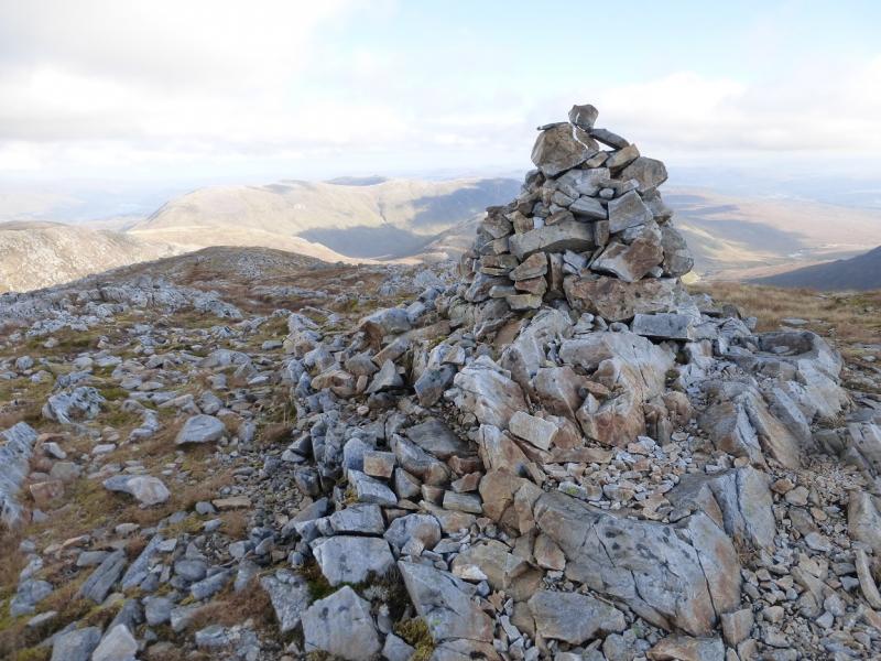
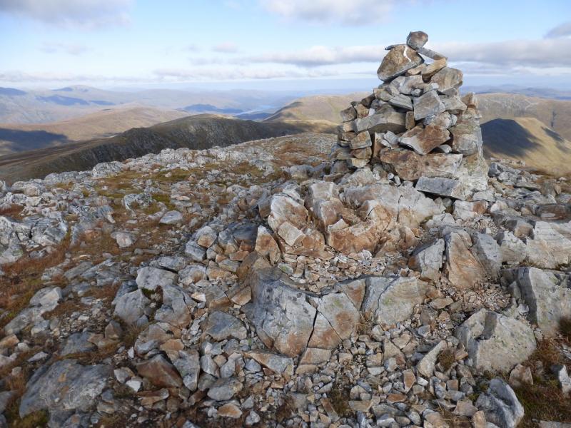
(3) Continue following the edge, W then NW, crossing a bealach then up the SSE ridge to reach a very large shelter cairn which is the summit of Sgurr nan Conbhairean, 1109 m.
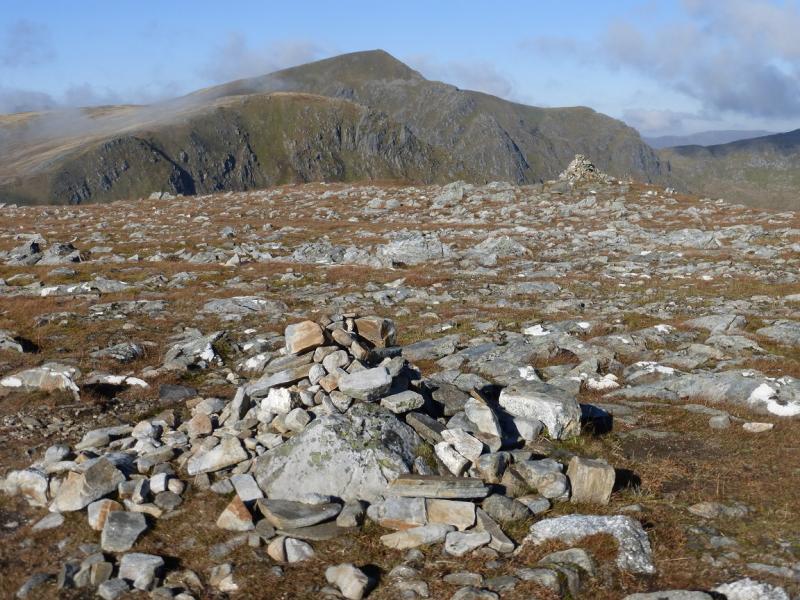
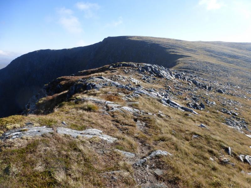
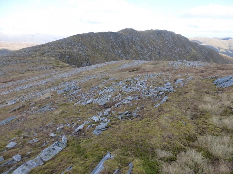
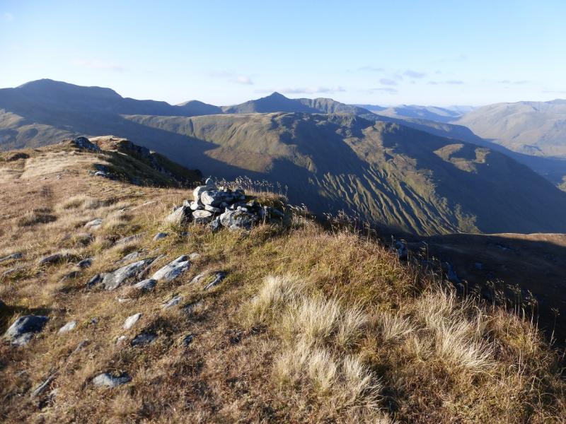
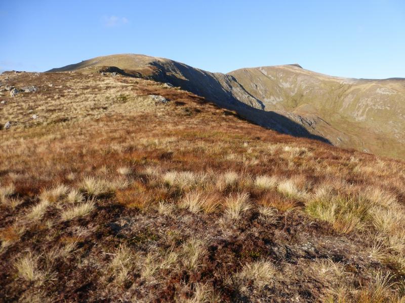
(4) Descend NW initially, still with the edge on the right. The ridge soon turns N and descends to a deep bealach before ascending up easy slopes on a path which goes to the right to avoid boggy ground to reach a medium cairn which is the summit of Sail Chaorainn, 1002 m.
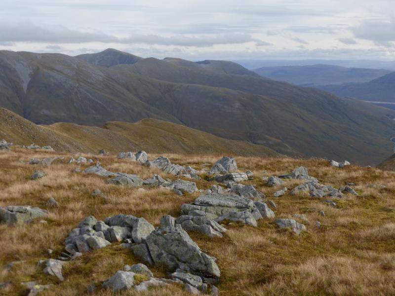
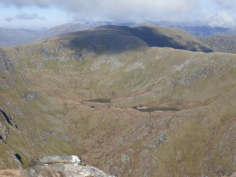
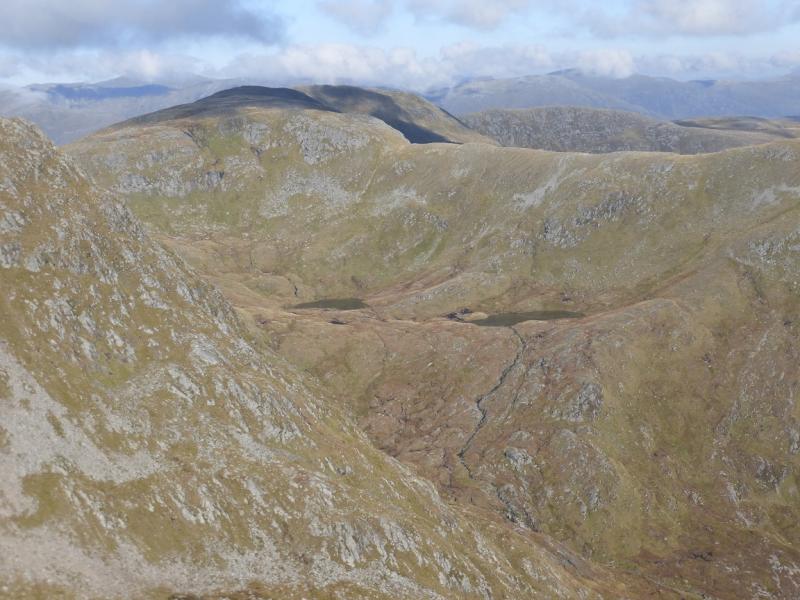
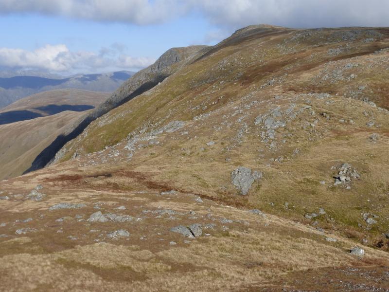
(5) Continue N descending to an obvious bealach then ascending up to a crest running SW to NE. There is a large cairn on this crest which could be the summit of Carn na Coire Mheadhoin, 1001 m. Observations on the ground suggest that this may not be the highest point; there is a smaller cairn nearby and the ground may be higher at the SW end of the crest.
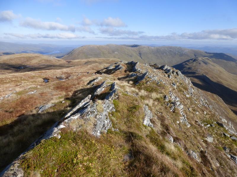
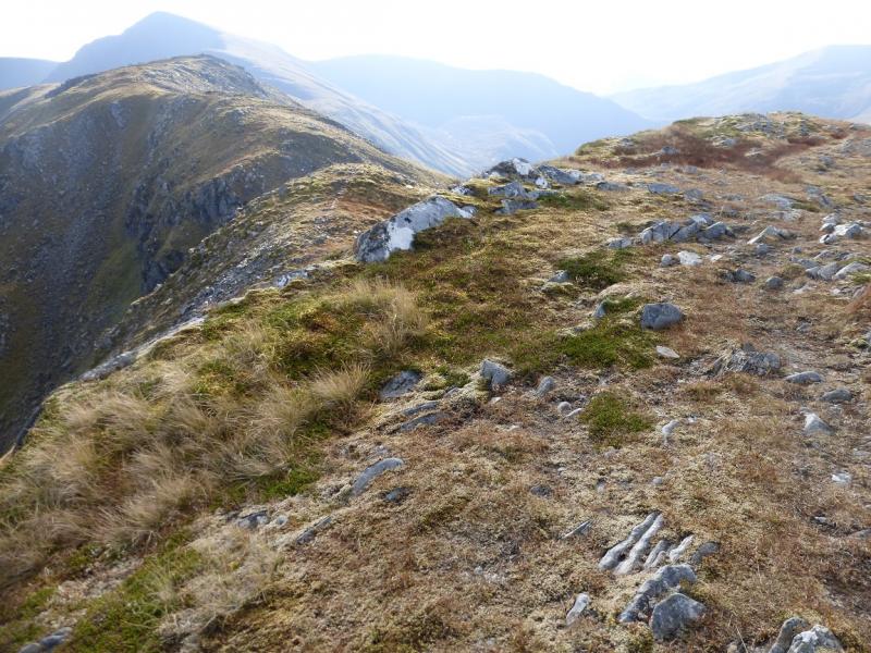
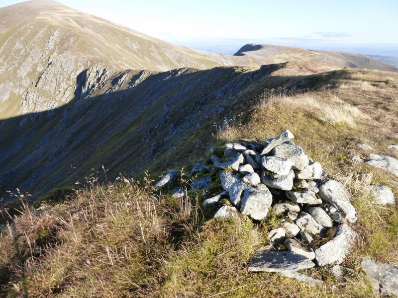
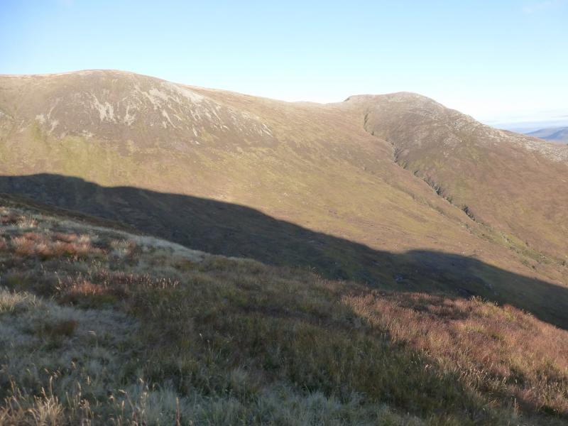
(6) Continue along the crest then go NW down to the grassy bealach or just descend N more directly. Go up N on to a crest curving round to the E. There is a tiny cairn on a rocky rib which is probably the highest point.
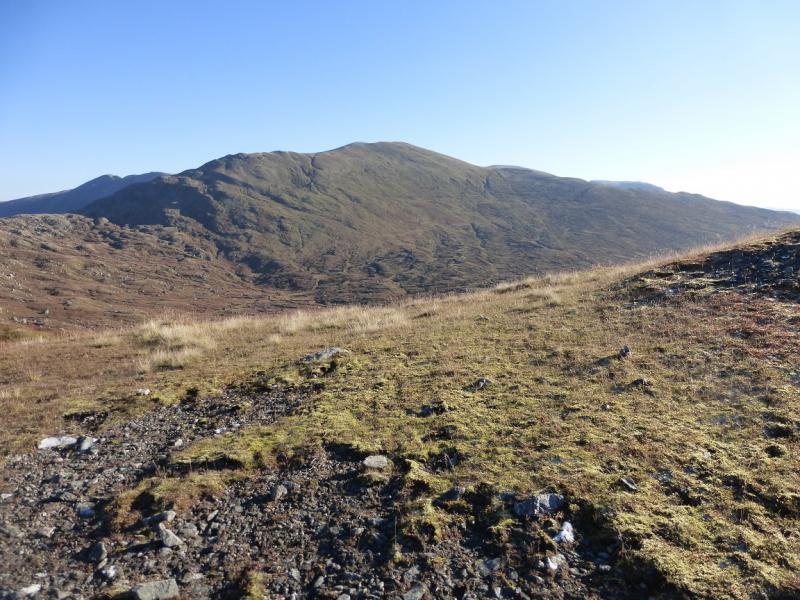
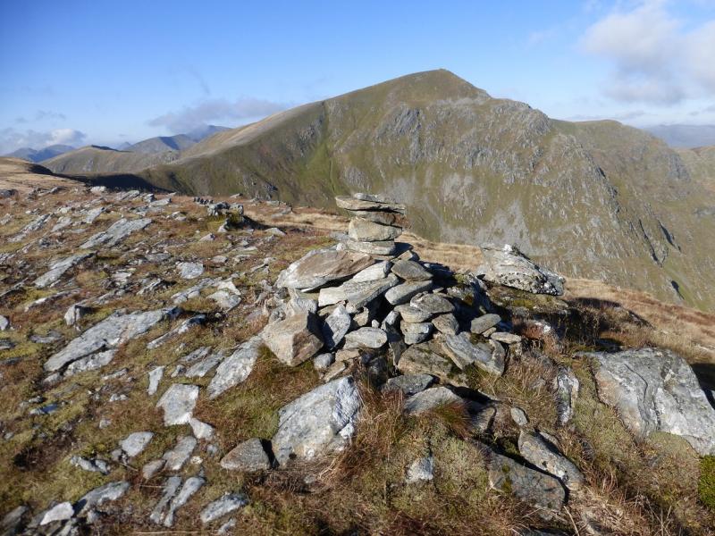
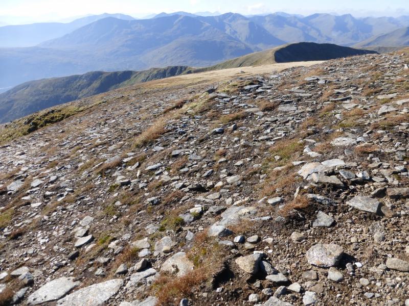
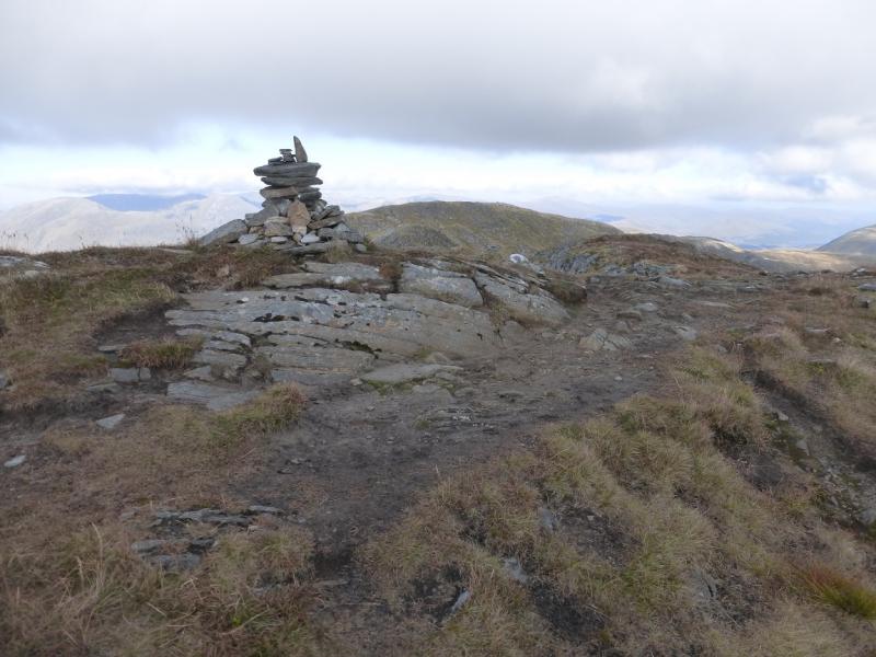
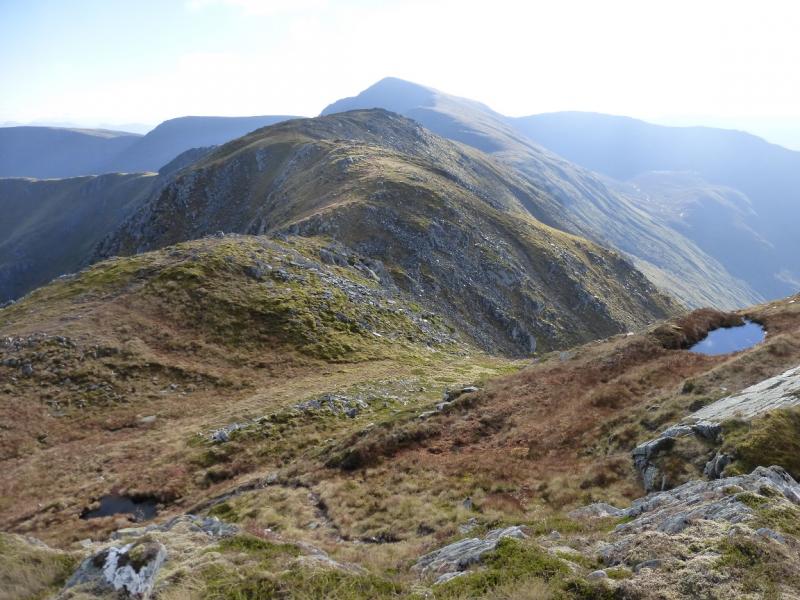
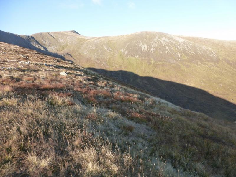
(7) Retrace to Carn na Coire Mheadhoin and Sail Chaorrain then continue towards Sgurr nan Conbhairean. Either return over its summit then go down the SW ridge or traverse across the steep, but mainly grassy W flank from the last shoulder below the summit; there is a faint path which joins the SW ridge above the bealach. Go up the NE ridge to reach amedium cairn, close to the edge, which is the summit of Drochaid an Tuill Easaich, 1001 m.
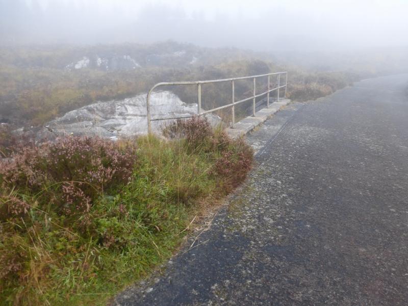
(8) Descend the S ridge, on a good path initially but this is faint and steep lower down and becomes quite eroded. Lower down, the path drifts across to the main stream on the left. There is a path down the E side of this stream or stay on the W side until a clump of trees is reached. In dry conditions, the stream can be crossed here and the path, on the other side, followed up for a short distance before meeting the path down the E side. Turn right here and walk to the road. If the stream is in spate, follow the W bank down to the road which adds a little to the distance. Once on the road, walk E back to the start.
Notes
(a) This walk took place on 17th October, 2015 and twice previously.
(b) Accommodation is limited at Shiel Bridge but there are two camp sites. One behind the garage, the other at Morvich on the old road around Loch Duich. The latter is run by the Caravan Club and has very good facilities including Wi-Fi.
(c) Omitting Carn na Coire Mheadhoin and Tigh Mor na Seilge saves just over an hour. Little time is saved by omitting Creag a' Chaorainn and the summit of Drochaid an Tuill Easaich.
Photos - Hover over photo for caption. Click on to enlarge. Click on again to reduce.