Get Lost Mountaineering
You are here: Scotland » 10b Loch Eil to Glen Shiel » Arnisdale Hills
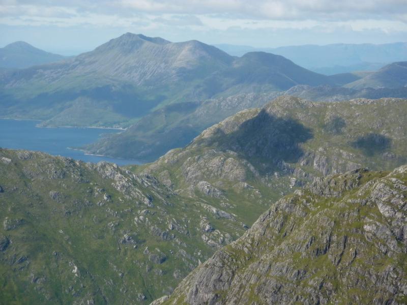
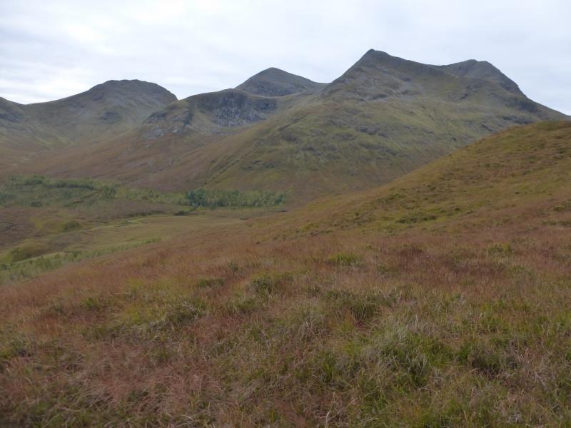
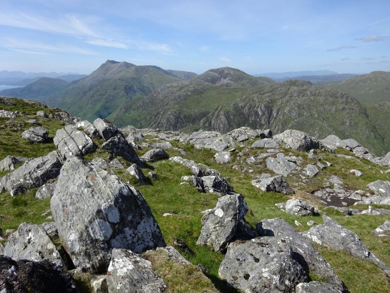
Beinn a' Chapuill & Beinn Sgritheall from Balvraid in Gleann Beag
Beinn a' Chapuill & Beinn Sgritheall from Balvraid in Gleann Beag
Start/Finish
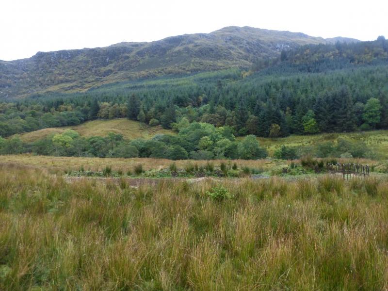
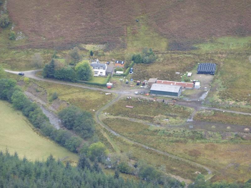
End of the public road, at Balvraid, in Gleann Beag which is about 2.7 miles up the glen from the road between Glenelg and Arnisdale. Parking is very limited near to the entrance to the farm so please park sensibly.
Distance/Time
18 km. About 8 - 9 hours.
Peaks
Beinn a' Chapuill, 759 m, NG 835 148.
Beinn Sgritheal NW Top, 928 m, NG 834 131.
Beinn Sgritheal, 974 m, NG 836 127. OS sheet 33.
Introduction
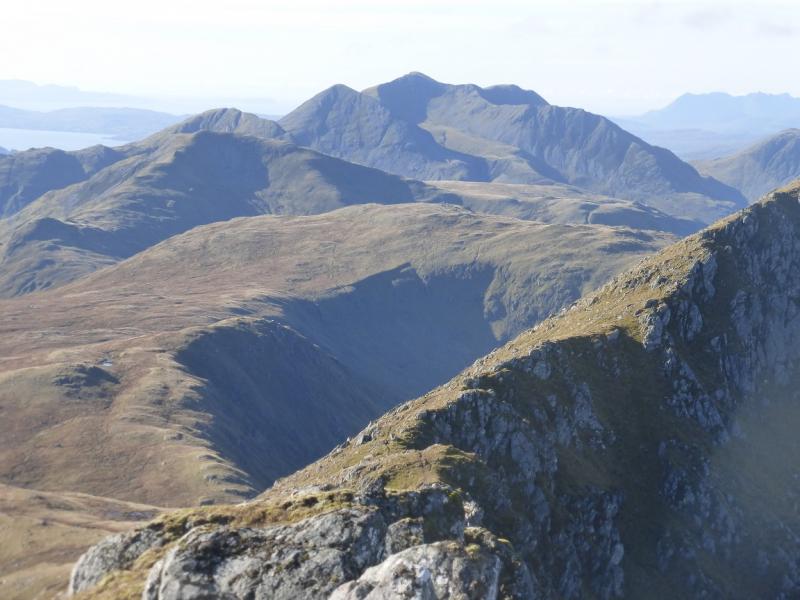
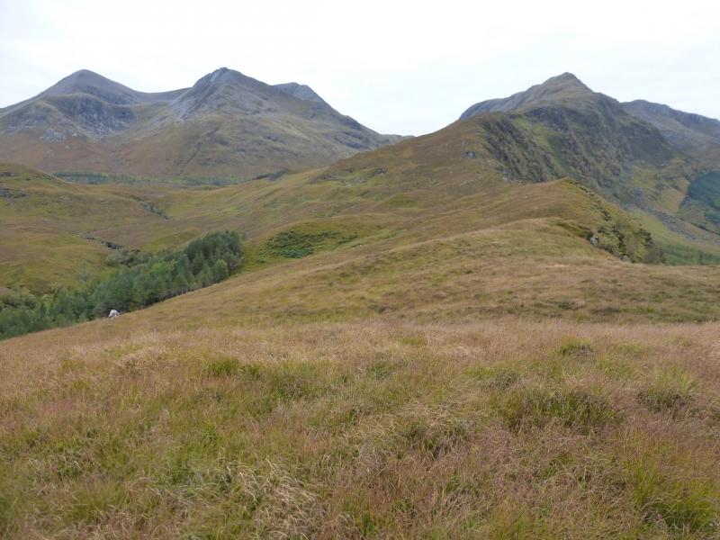
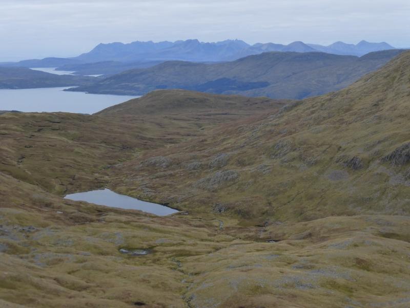
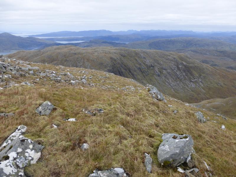
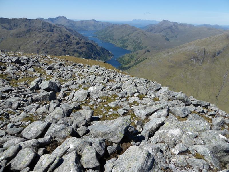
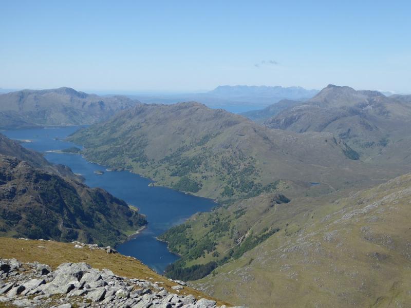
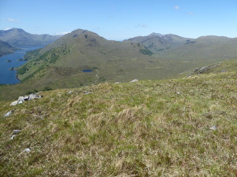
This is a tough walk with much of it pathless but there ares tunning views on a clear day which include Knoydart, Skye, Rum, Eigg and the Glen Shiel hills. Note that the labelling of Beinn a' Chapuill on the 1989 map incorrectly suggests the summit is further north and west of the grid reference given above. The summit area of Beinn a' Chapuill is quite complex so this walk is best saved for a clear day.
Route
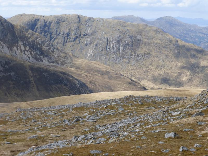
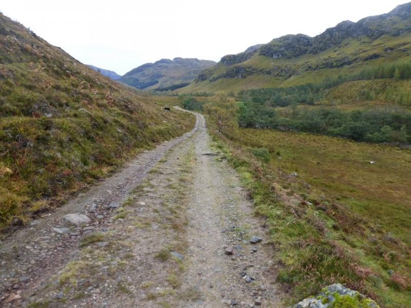
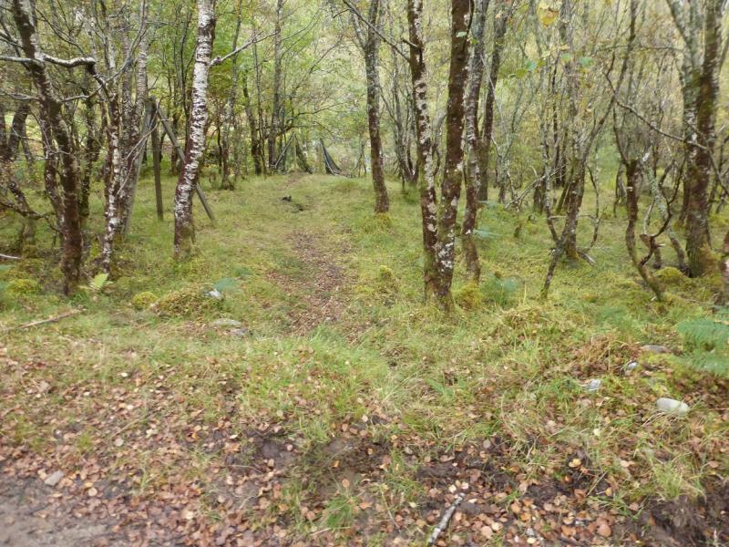
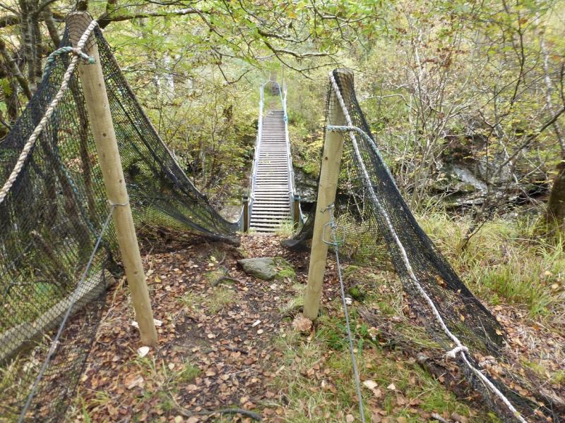
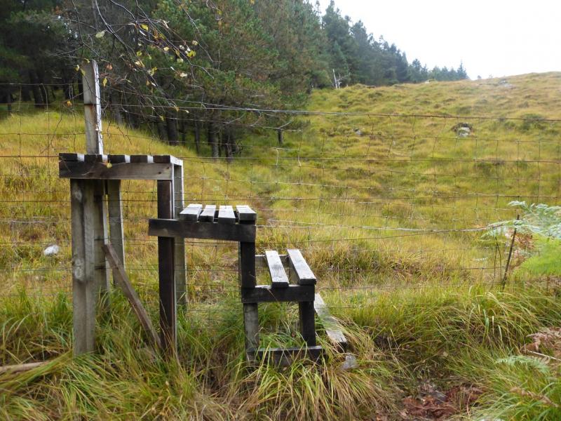
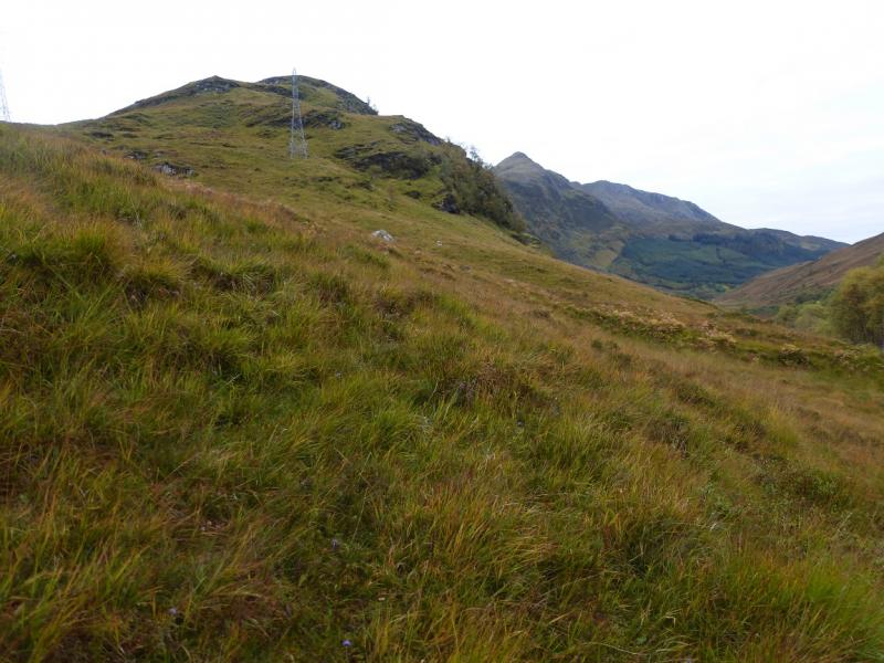
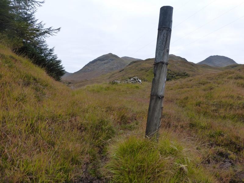
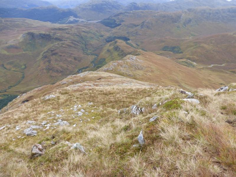
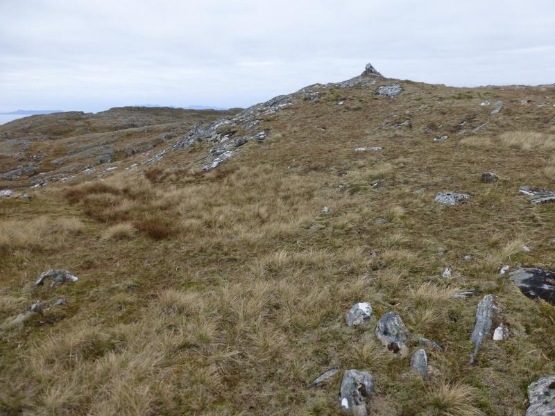
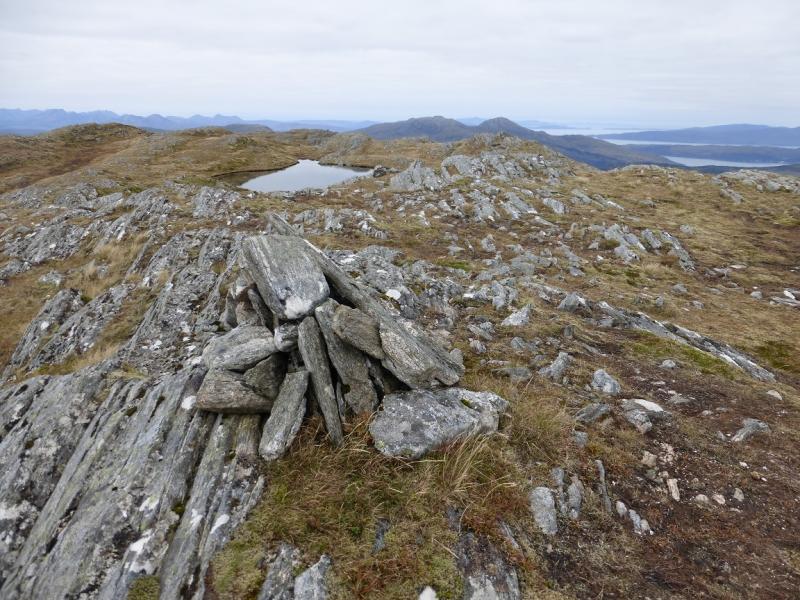
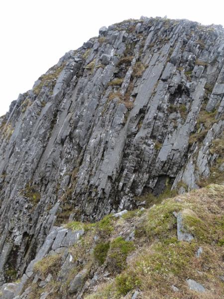
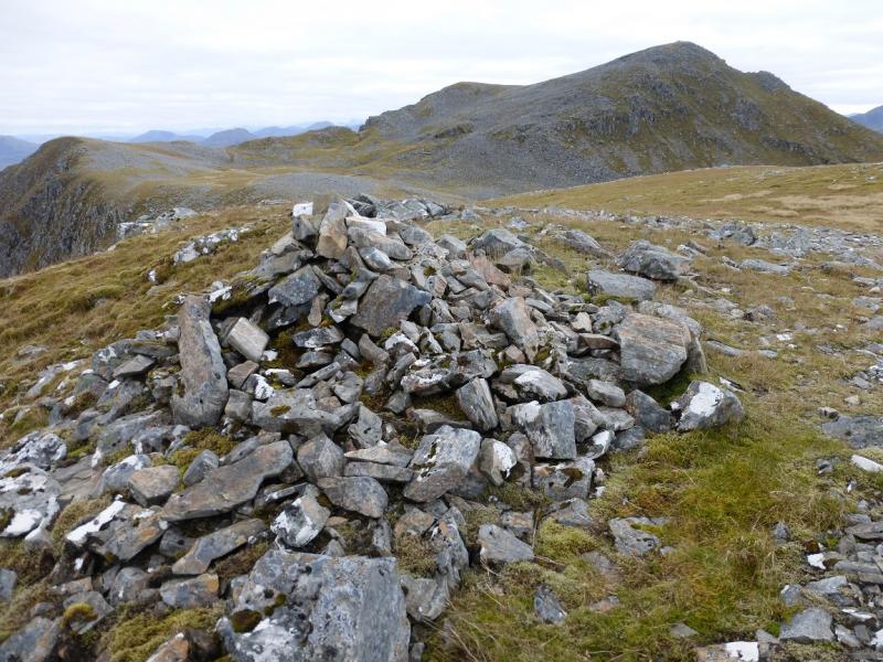
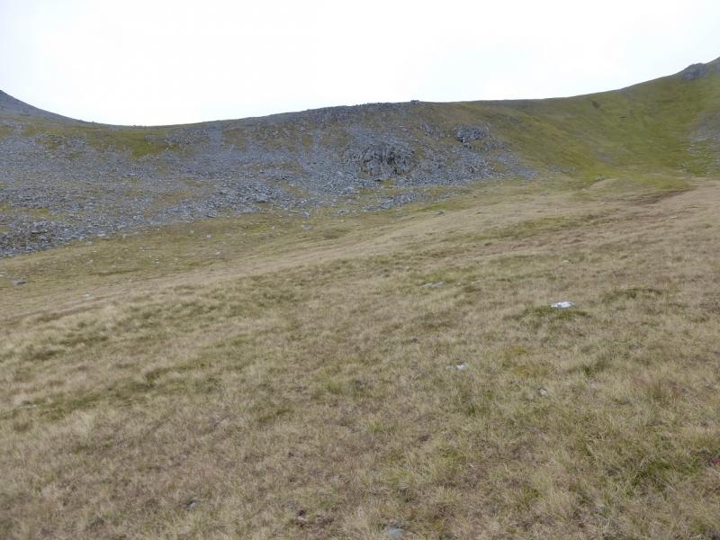
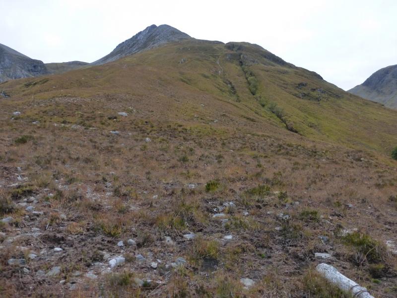
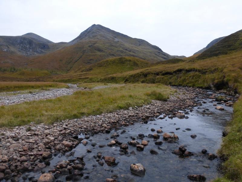
(1) Continue up the track past Balvraid for about 2 km. Just after passing under the pylons, the track passes through a natural wood. Just inside the wood, there is a faint path going off to the right which soon leads to a suspension bridge. This may be difficult to spot from the track. Cross the bridge then go up a boggy short path to reach a stile. Cross this and follow a wet and faint path up the side of a plantation to a post on the crest. Turn right here, WSW, and start up the long ridge which is not too well defined initially but improves. There is a faint path but it can be difficult to follow in places. Follow the ridge up which steepens higher up before the gradient eases. Continue to reach a small cairn with a lochan beyond and to the right; this is the summit of Beinn a' Chapuill, 759 m.
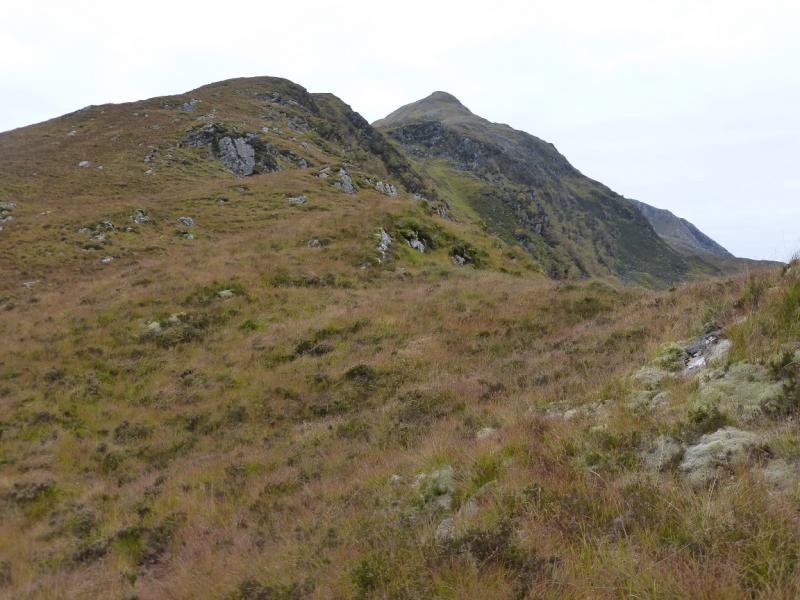
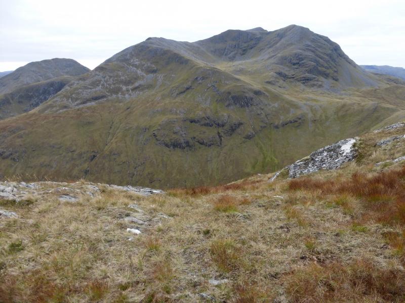
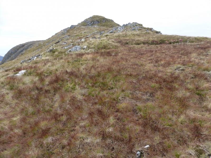
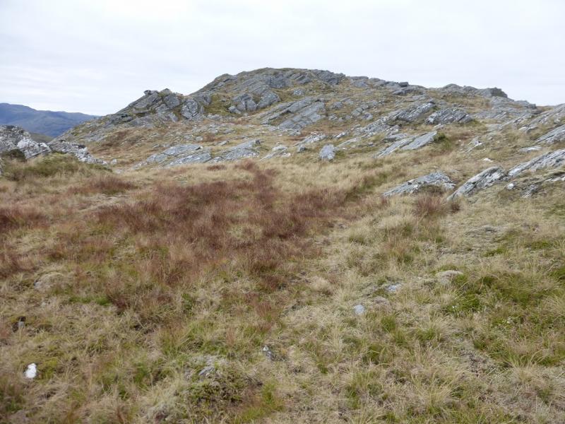
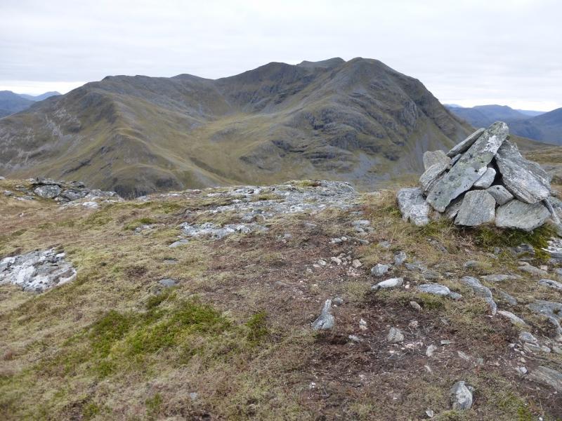
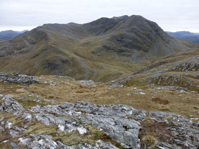
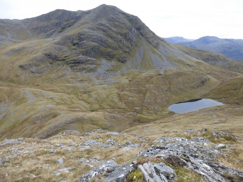
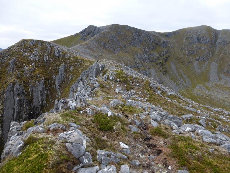
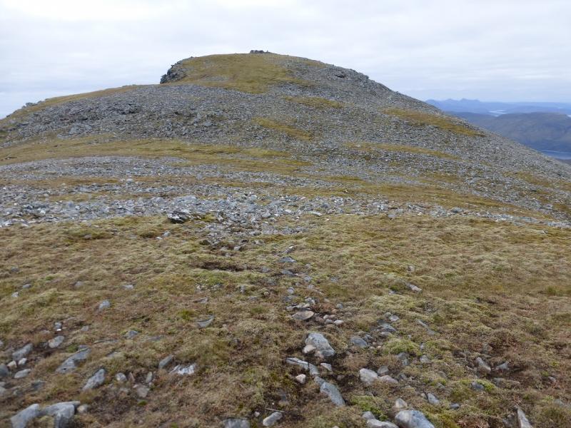
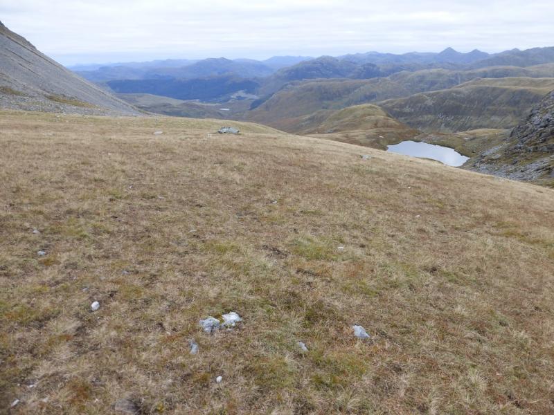
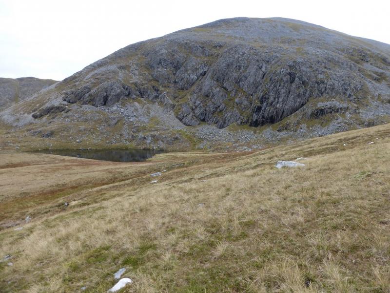
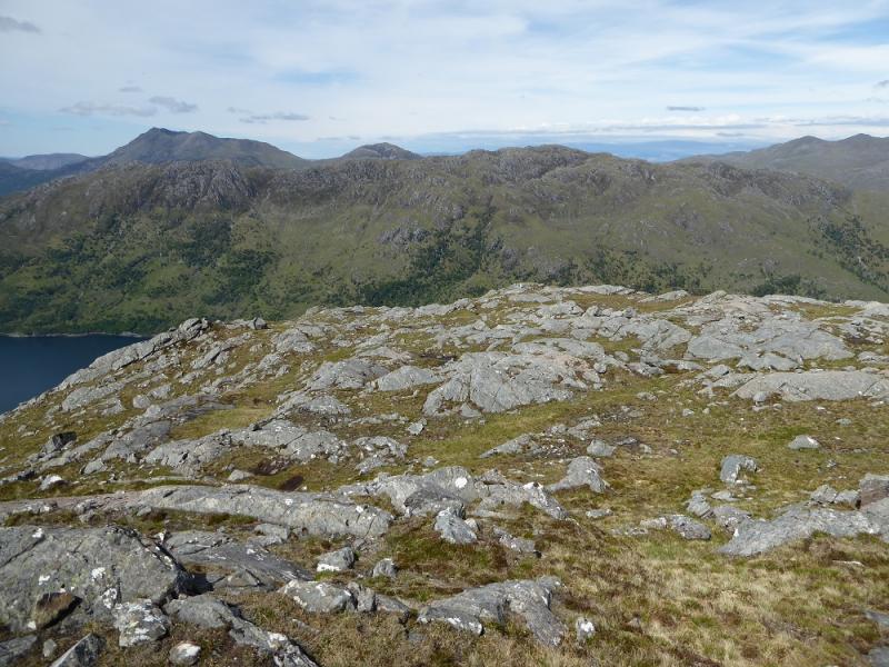
(2) It is not possible to take a direct line down to the bealach between Beinn a' Chapuill and Beinn Sgritheall because of a line of crags so continue across the summit area heading roughly SW for about 300 m then start to descend roughly S. If any crags are encountered, just go a bit further W where the slopes are mainly grassy. Descend down; the Loch Bealach na h-Oidhche is good to aim for although the actual bealach is about 300 m ENE. Once down, pick a way up the curving ridge on the left side of the corrie. There are a few false starts but soon one is on the ridge proper and it is well defined with a path developing higher up. Follow the ridge as it curves around to heading roughly S. After a steep section, the gradient suddenly eases and one is on a V shaped ridge at the bottom of the V. Go right, following the edge for about 400 m to reach the medium cairn which is the summit of Beinn Sgritheal NW Top, 928 m.
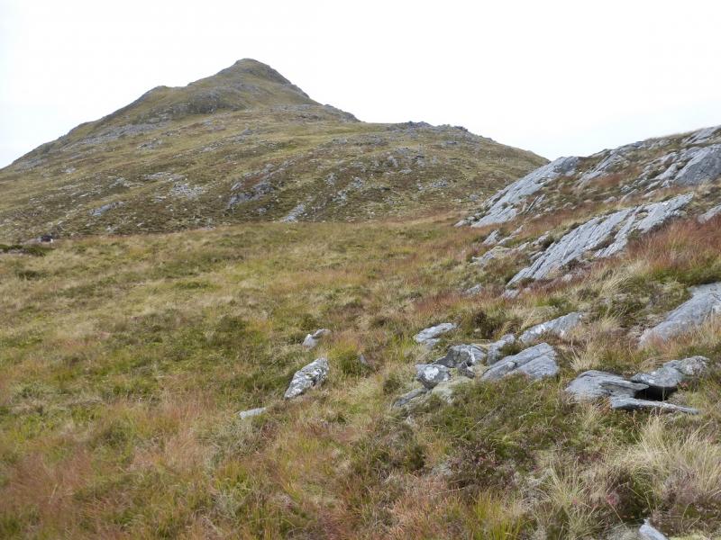
(3) Retrace to the bottom of the V then go the other way and follow the edge up before drifting right to reach the shelter cairn, cairn and fallen trip point which is the summit of Beinn Sgritheal, 974 m.
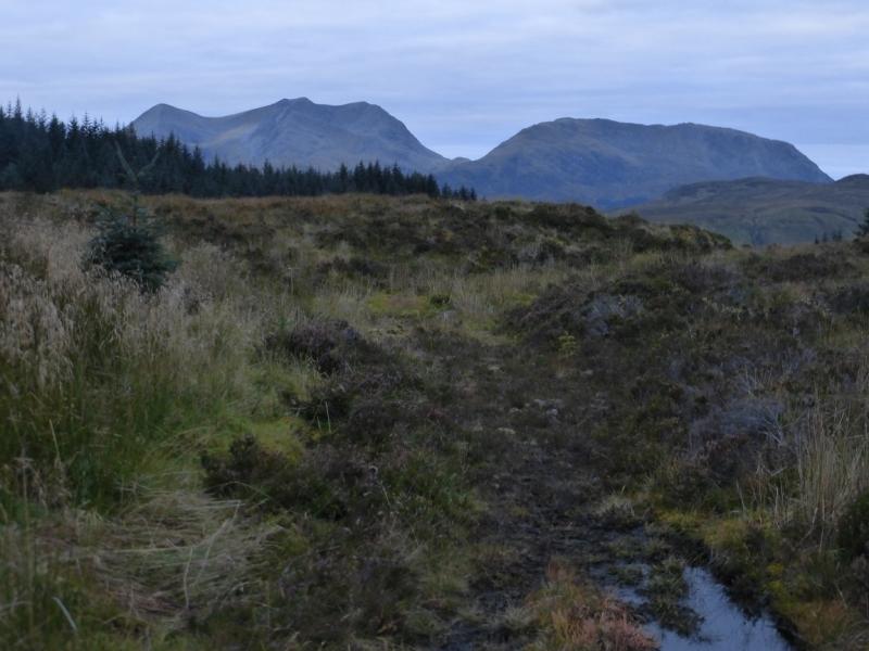
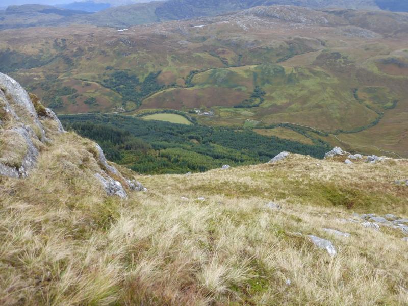
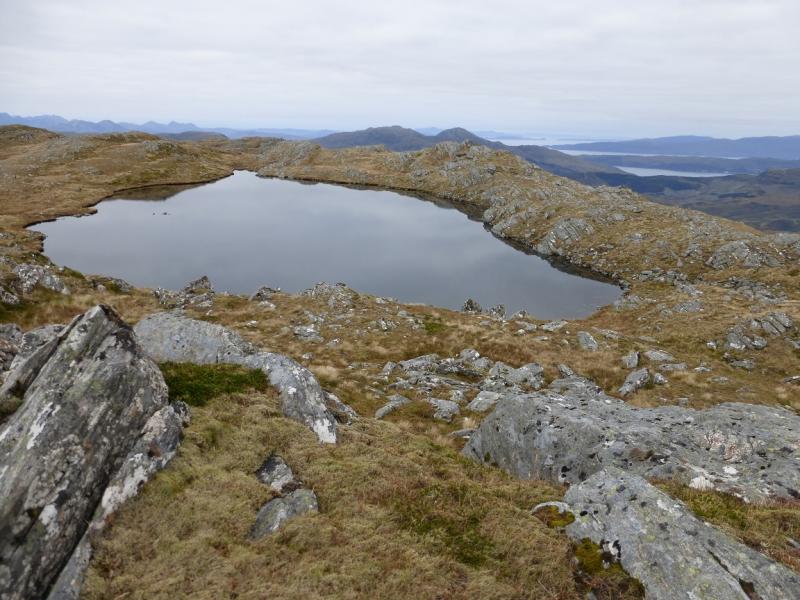
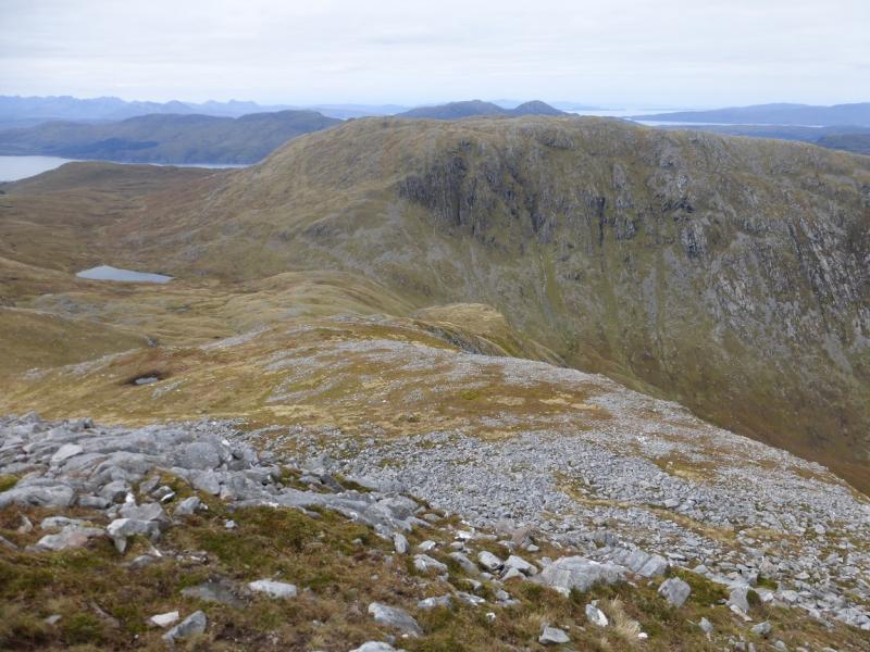
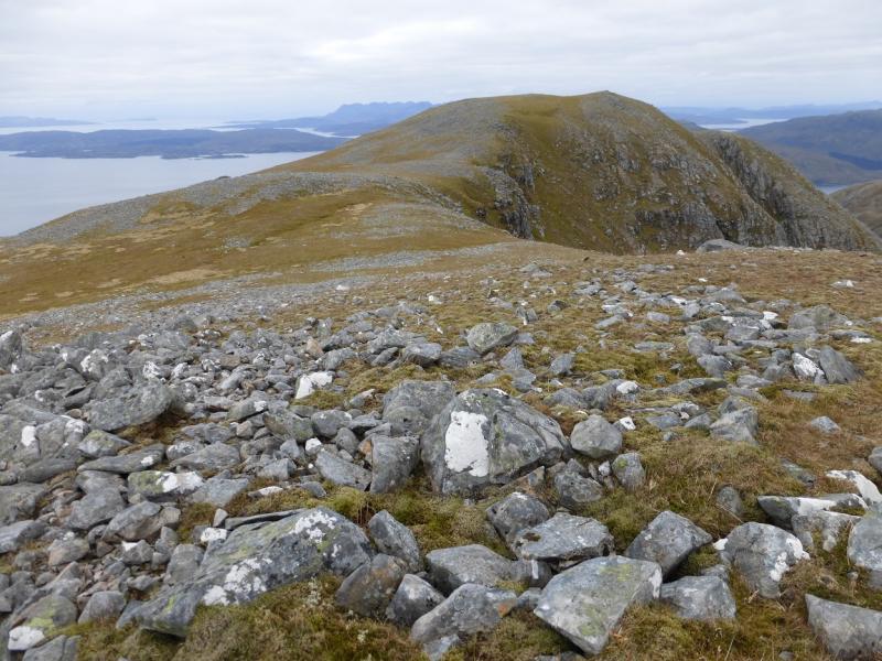
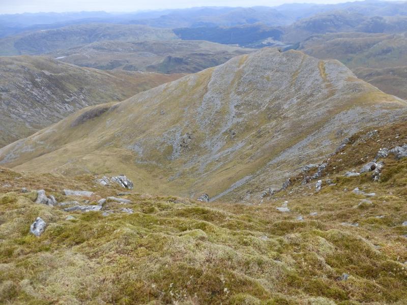
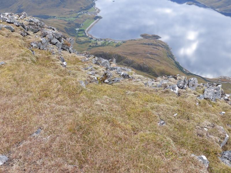
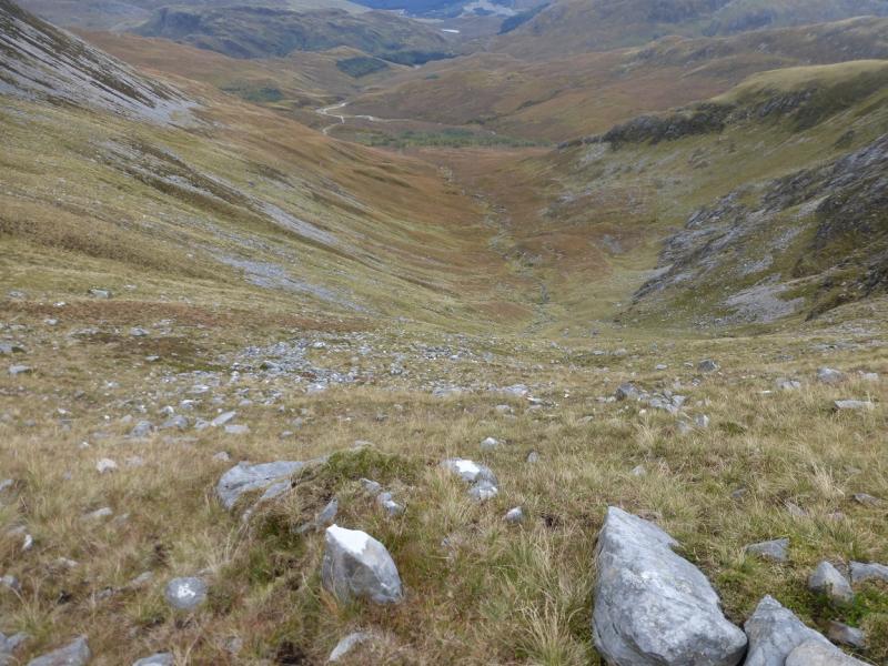
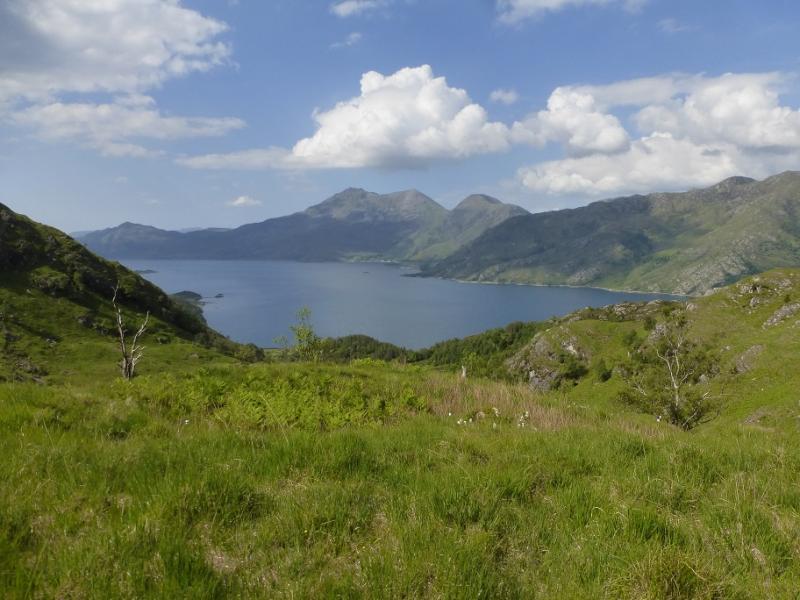
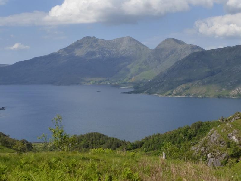
(4) Go SE descending along the crest on a path but after the first short steep section, leave the path and drift left to follow the edge of the corrie down as far as possible before going over the rim and down stony slopes into Coire Min which is largely grassy. Continue down the grassy part of the corrie and drift right to reach the obvious lochan. Go S from here and then make a descending traverse down Coire Dubh staying well above the stream which will be on your right. Pass below the rocky NE ridge and stay below any scree. Further down, gradually drift right towards the stream then walk through a very scattered wood. Emerge and cross the stream then follow it until a track is reached which heads towards the plantation just beyond the pylons. Go left up the side of the plantation and cross the crest to reach the outward stile and suspension bridge and then the outward track which can be followed back to Balvraid.
Notes
(a) This walk took place on 18th October, 2015, and about 10 years previously.
(b) Accommodation is limited at Shiel Bridge but there are two camp sites. One behind the garage, the other at Morvich on the old road around Loch Duich. The latter is run by the Caravan Club and has very good facilities including Wi-Fi.
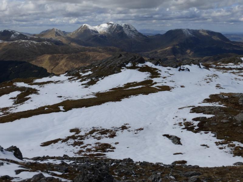
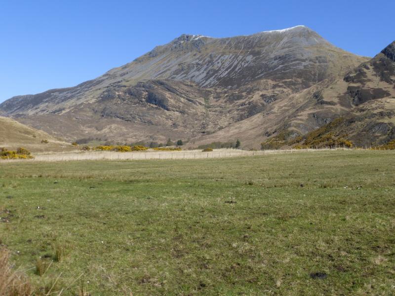
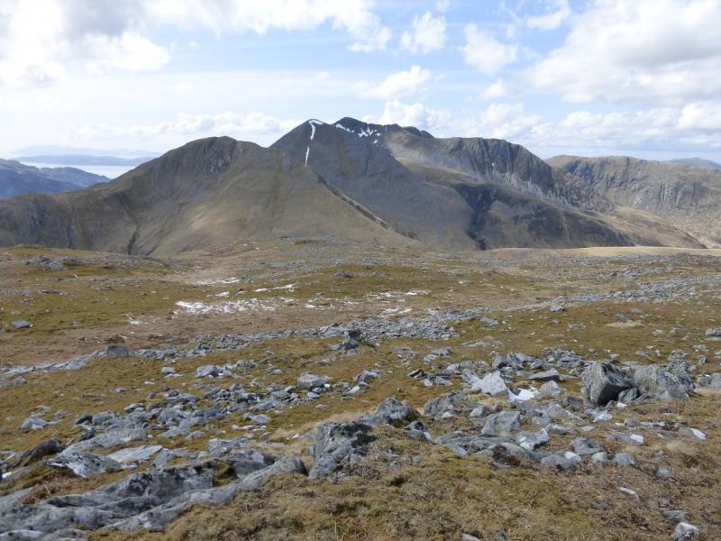
Photos - Hover over photo for caption. Click on to enlarge. Click on again to reduce.