Get Lost Mountaineering
You are here: Scotland » 03 North-west Argyll, Appin and Glencoe » Glencoe
Bidean nam Bian - full traverse
Bidean nam Bian – full traverse from Glencoe
Start/Finish
First car park on right, S, of A82 when it has climbed out of Glencoe and passed the viewing platform, marked as “The Study” on the map, at the top of the glen. Just before car park, there is a sign pointing to a path through the Lairig Eilde
Distance/Time
17 km Approx 9 hours
Peaks
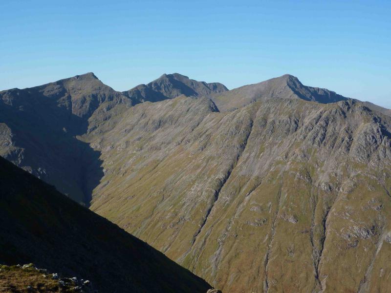
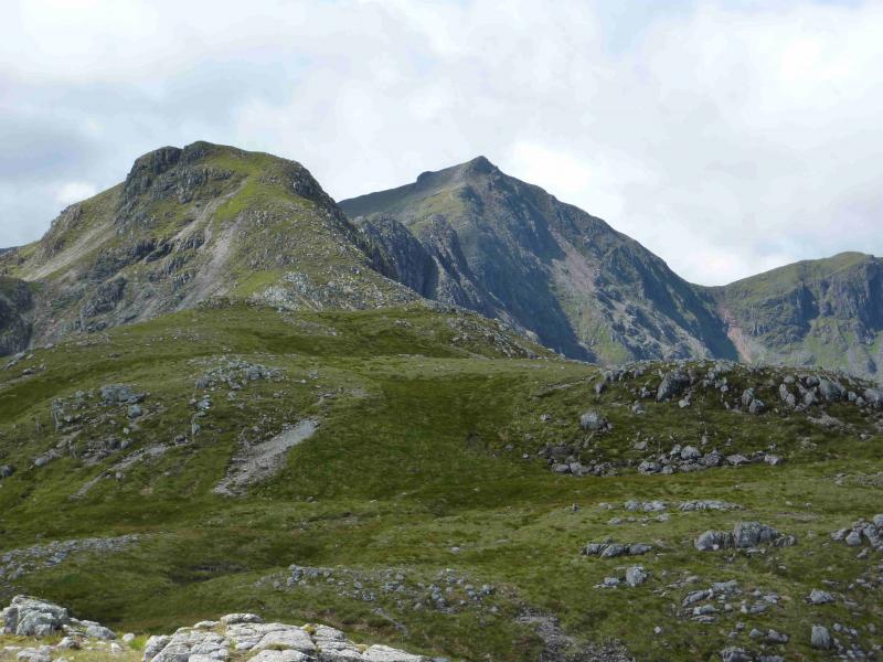
Beinn Fhada, NE Top, 931 m, NN 164 543.
Beinn Fhada, 952 m, NN 159 540.
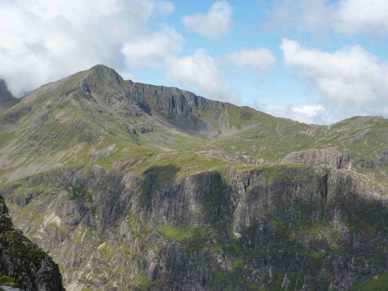
Stob Coire Sgreamhach, 1072 m, NN 154 536.
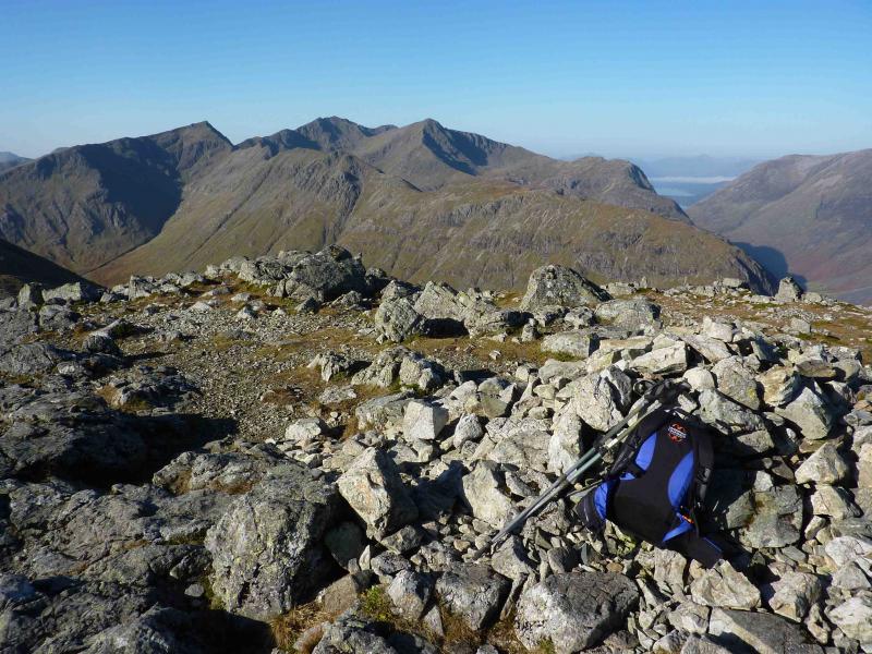
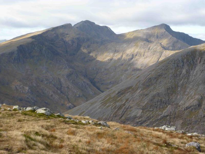
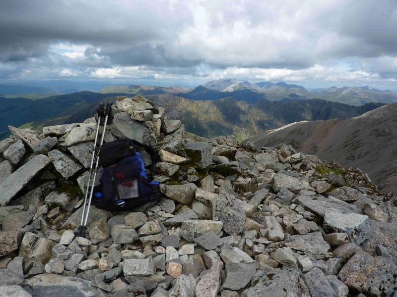
Bidean nam Bian, 1150 m, NN 143 542.
Stob Coire nam beith, 1107 m, NN 139 545.
Stob Coire nan Lochan, 1115 m, NN 148 548. OS Sheet 41.
Introduction
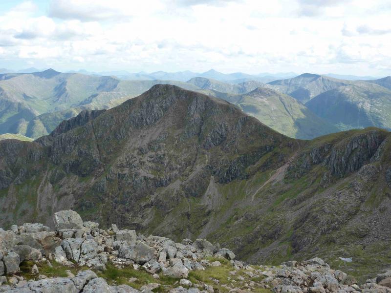
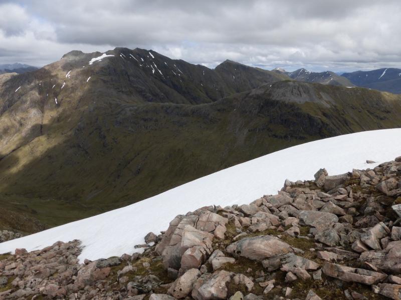
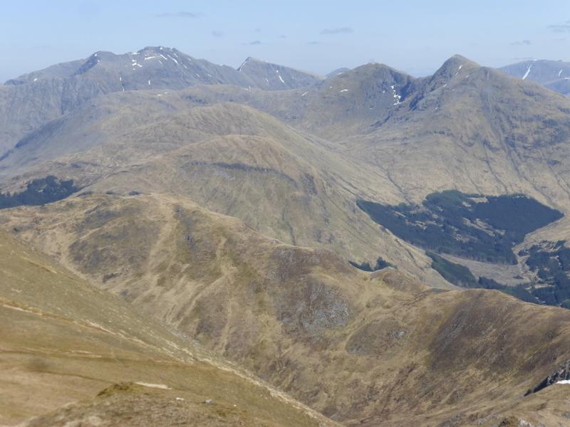
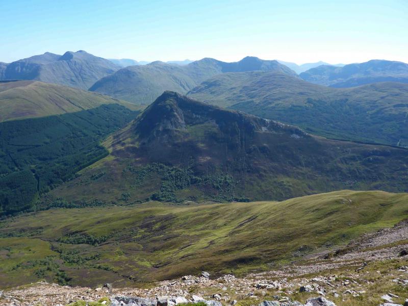
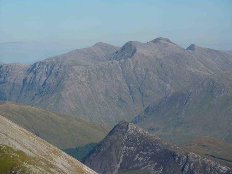
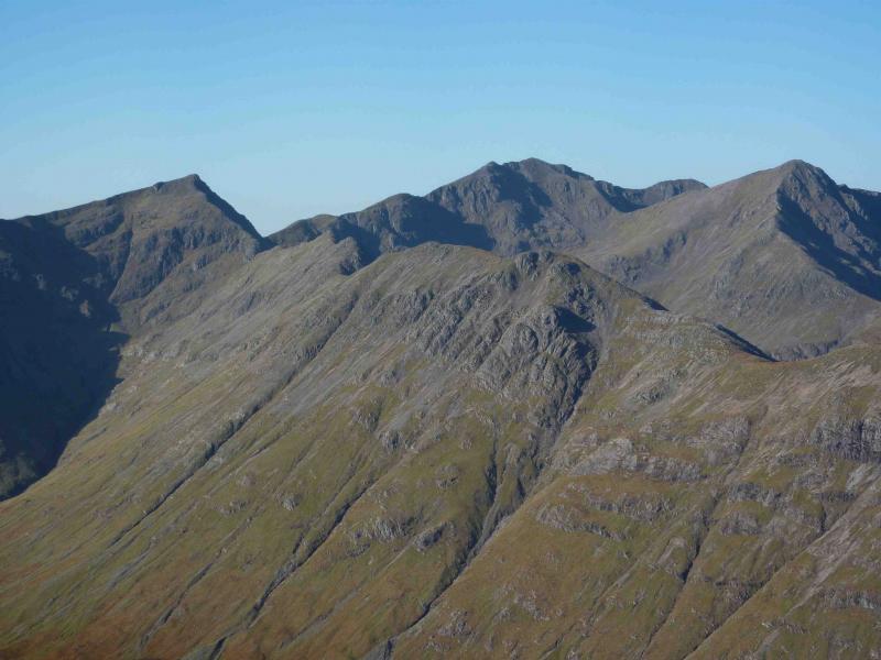
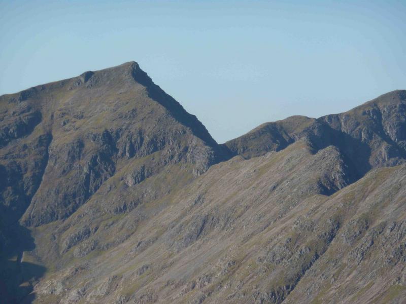
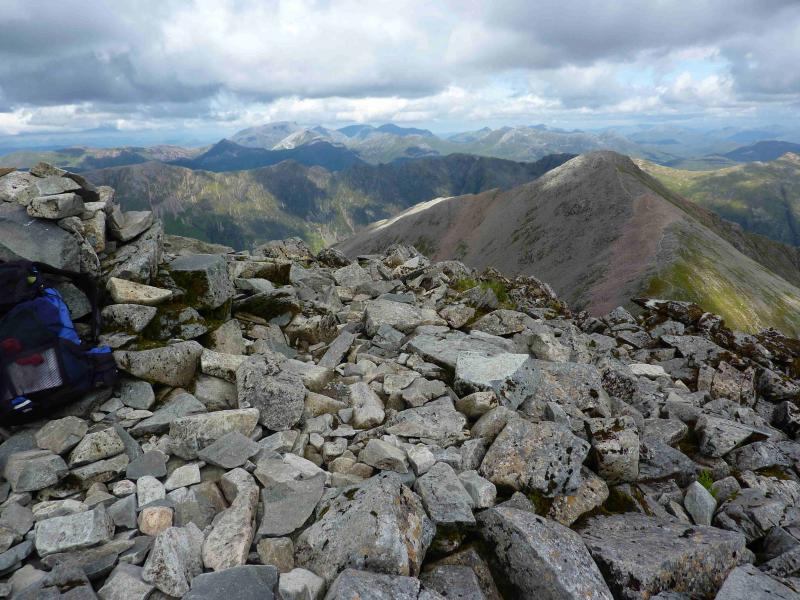
This walk ascends all the Munros and their tops in the Bidean nam Bian Massif. Apart from the initial ascent, almost all the walk is on good paths. The most technical section is the ascent of Stob Coire Sgreamhach from its S bealach with Beinn Fhada. This is relatively straightforward in clear dry weather but is over rock which can be slippery in the wet. In winter, this traverse is only for the experienced. Bidean nam Bian is the highest summit in Glencoe so, on a clear day, this walk gives superb views in all directions including the Glencoe peaks, Ben Nevis range, the Mamores, the Glen Etive Hills, the Ardgour hills (across Loch Linnhe) and many more. Even Ben Alder and Schiehallion are visible.
Route
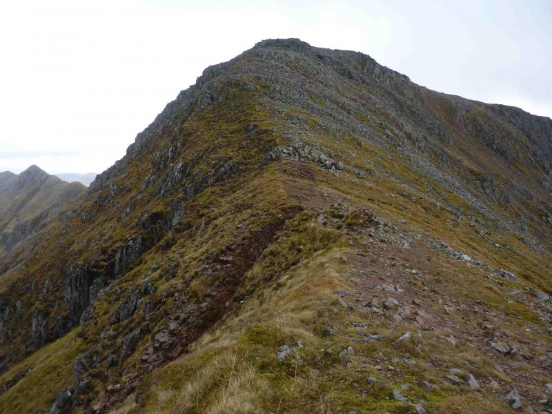
(1) From the car park, follow the obvious, and good, path up the Lairig Eilde. When it forks, go right and descend slightly to cross the Allt Lairig Eilde on some well placed stepping stones. This could be difficult in spate conditions soon after heavy rain. As soon as the burn is crossed, head SW up the pathless slopes of the Beinn Fhada ridge. If it is clear, aim for the obvious grassy rake well seen from the burn. The going is not too bad with hints of a path here and there. At one point, walk under a long buttress before picking a way to the crest of the ridge probably to the N of Pt 811. Walk SSW along the easy ridge with any obstacles easily outflanked. The path gradually becomes more distinct before reaching the first of the twin tops which is Beinn Fhada, NE top, 931 m, on which there is a small cairn.
(2) Continue along the now well-defined ridge, descending to a bealach before going up the other side to reach Beinn Fhada, 952 m, which also has a small cairn.
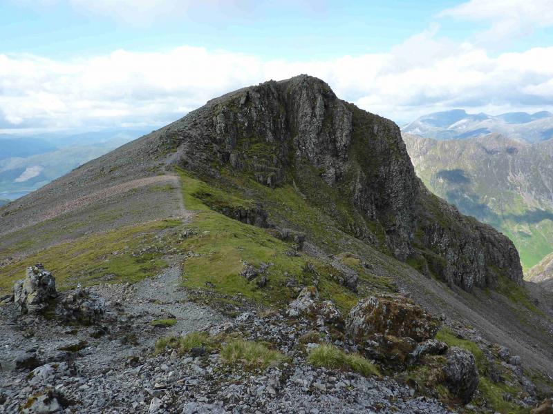
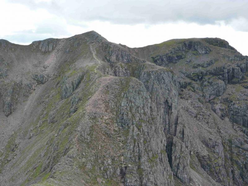
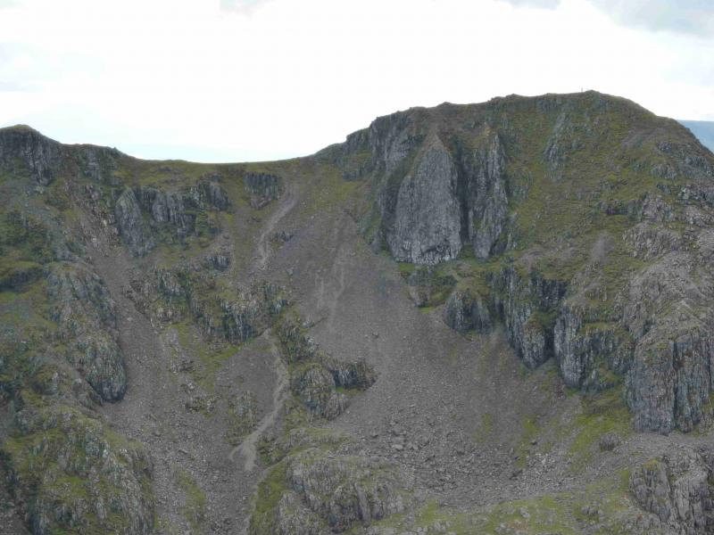
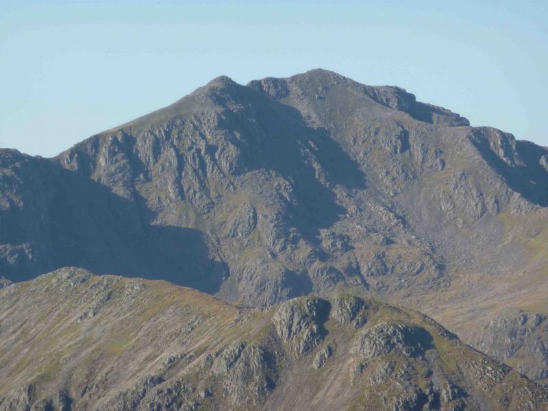
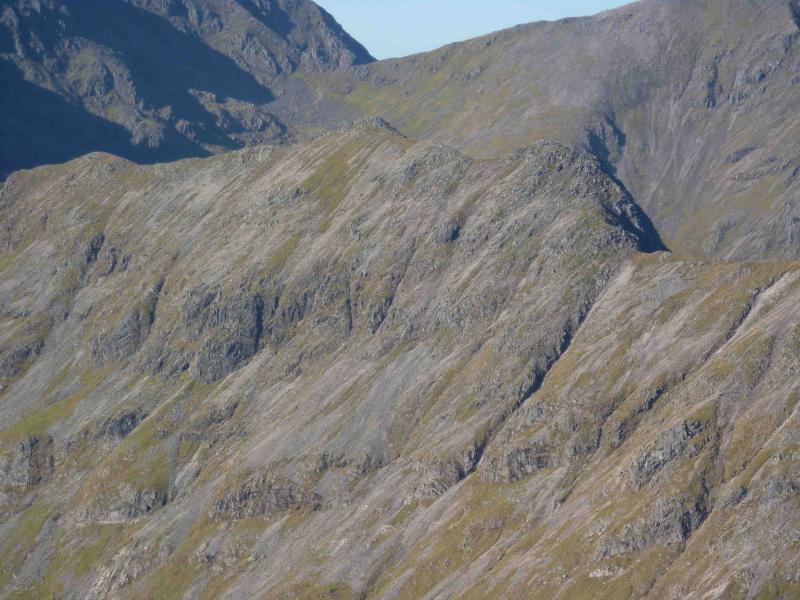
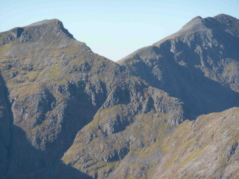
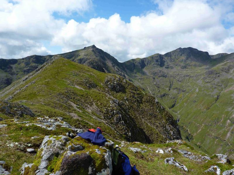
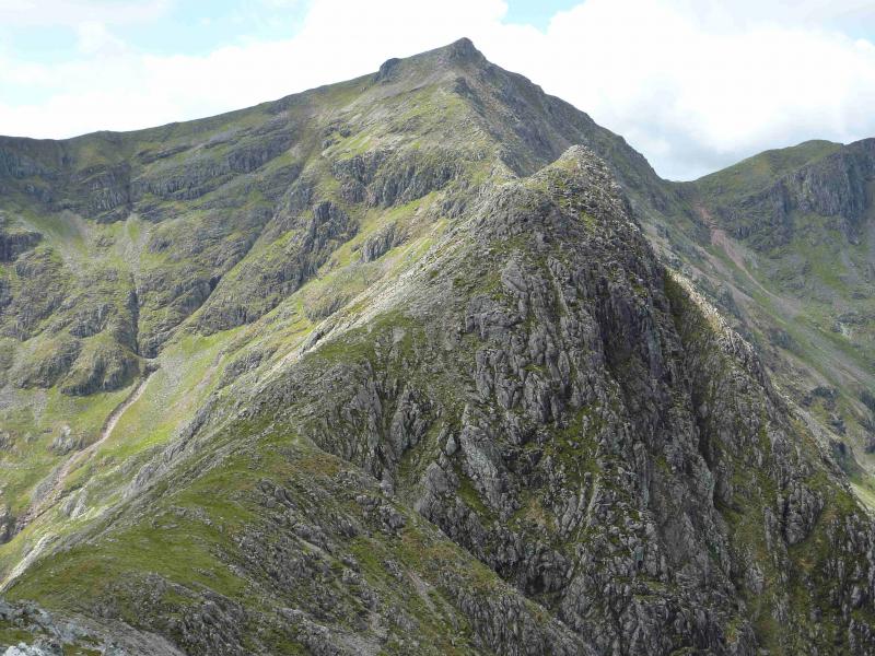
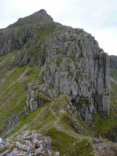
(3) Continue along the ridge, this time descending into a deeper bealach. On the far side is a vertical buttress. The path goes to the left, E, of this. After a short distance, there is an opportunity to ascend, cutting back slightly, to reach the crest. Alternatively, one can go further and look for an alternative ascent of which there are at least two. However, the further one traverses under the crest, the greater the climb to the crest and the longer the exposure on steep ground. In dry, clear conditions, the first ascent is worth looking at but it may intimidate some. Once on the crest, a good path leads to the medium cairn which is the summit of Stob Coire Sgreamhach, 1072 m.
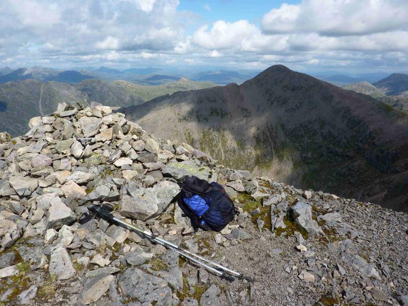
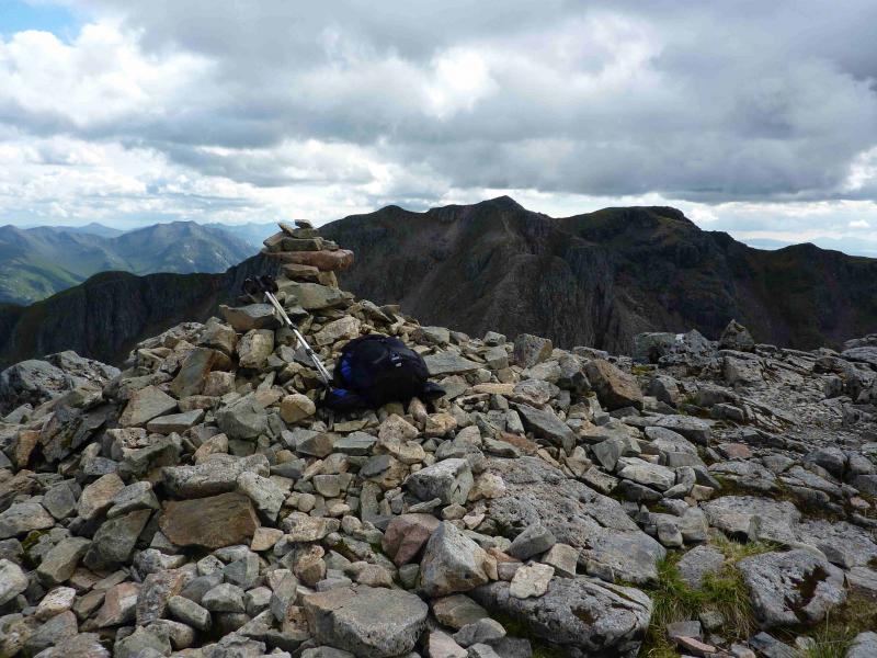
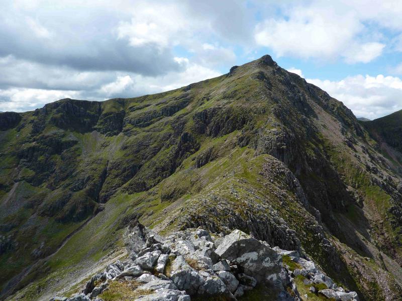
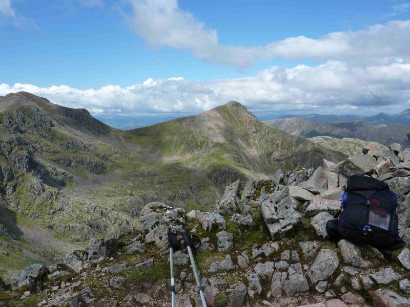
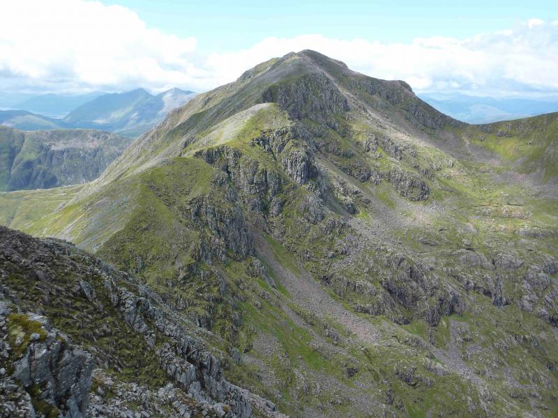
(4) Descend W over stony ground before an obvious path appears and leads down to a bealach. If one has had enough, turn right here, NE, and descend into the Lost Valley and follow the path back to the A82 in upper Glencoe. The initial part of this descent needs care down a faint gully but the good path is soon reached. To continue to Bidean, stay on the ridge and follow the obvious path over some cairned intervening tops before the final rise to the medium summit cairn of Bidean nam Bian, 1150 m. On the summit, one path goes NW to Stob Coire nam Beith whilst a second path goes NE to Stob Coire nan Lochan.
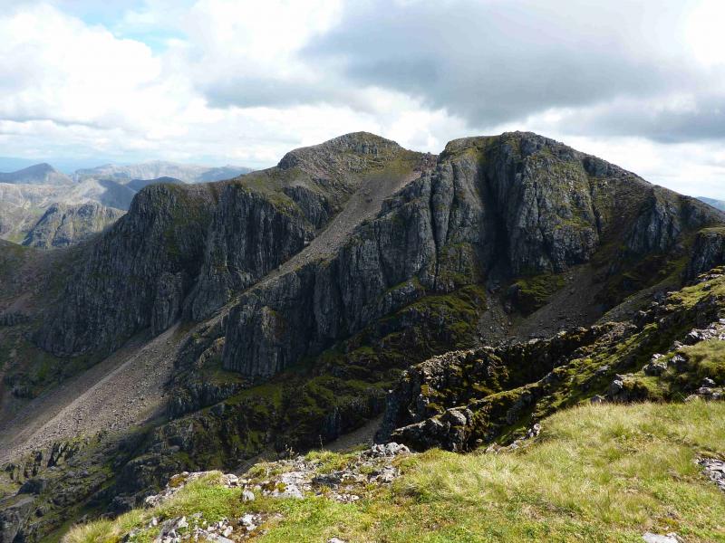
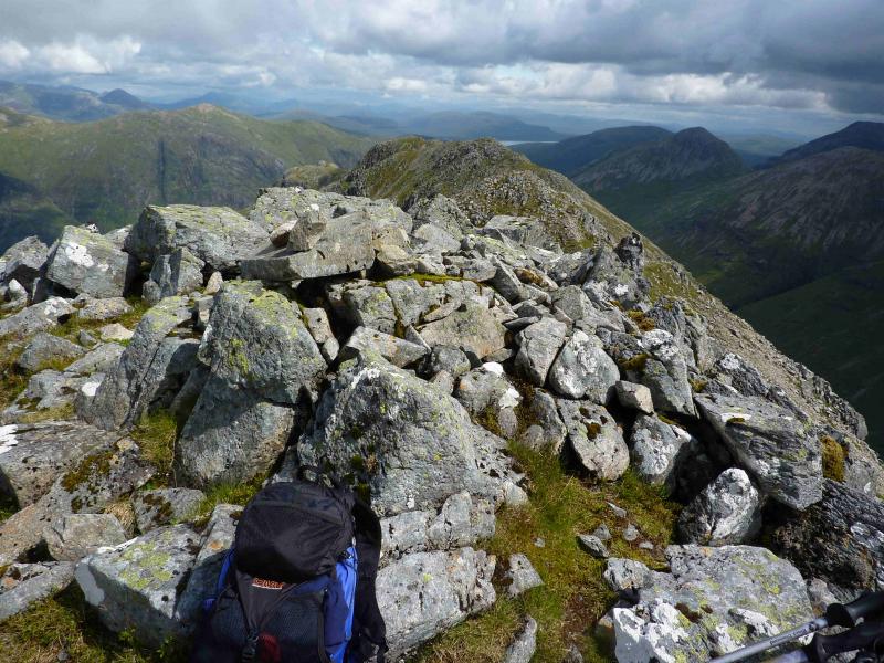
(5) Take the distinct path which descends roughly NW into a shallow dip before climbing to a cairned top. This is not Stob Coire nam Beith so continue on the path which curves around the corrie rim and descends into a deeper gap before ascending to the medium cairn of Stob Coire nam Beith, 1107 m. From here there are superb views of Bideans awesome buttresses.
(6) Retrace back to Bidean then descend roughly NE, on a good path, to reach the bealach below Stob Coire nan Lochan. This path does not follow the crest of the ridge (which is quite complex) but drops down below the crest on the right, E, side. Only when the bealach is near does the path go back on to the crest and cross to its W side. The path continues up the other side of the bealach to reach the medium cairn which is the summit of Stob Coire nan Lochan, 1115 m.
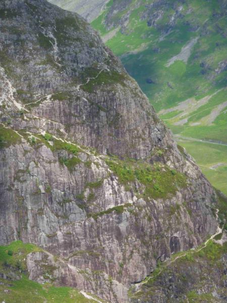
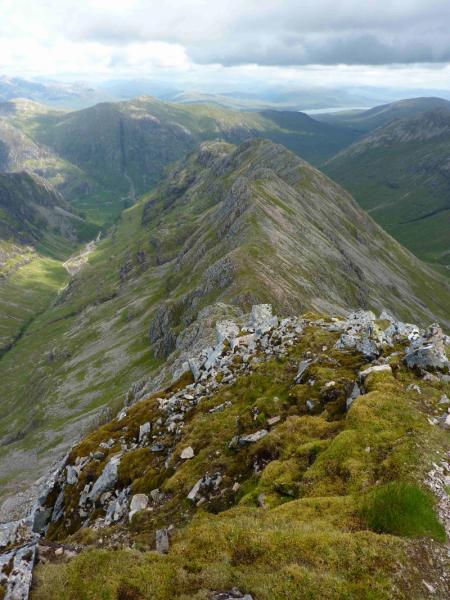
(7) Descend E then NE, on a path which may not be easy to locate at first, weaving through some rocky outcrops where care is needed. When the ridge starts to level off and becomes grassy, the path swings left, W, and soon after cuts back into the corrie. However, it is better to leave the path when it cuts back and head N down mainly grassy ground, with the occasional path, to soon reach the main path down Coire nan Lochan. This obvious path, engineered in places, leads down to Glencoe, crossing the River Coe by a footbridge over a gorge. Continue ahead to reach a track, the old road, below the road. Turn right, E, and follow the track to its end. Ascend to the road and walk back to the start.
Notes
(a) This walk took place on 18th July, 2011, and 29th May, 1995.
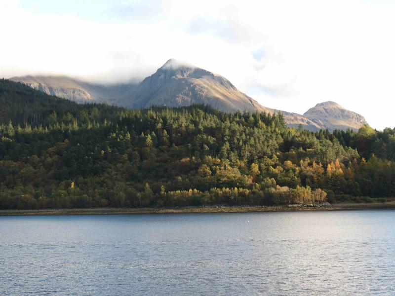
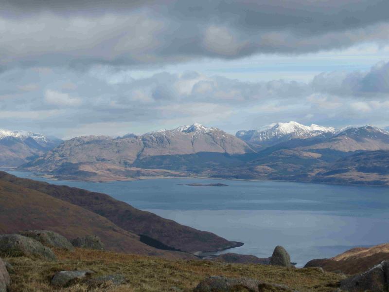
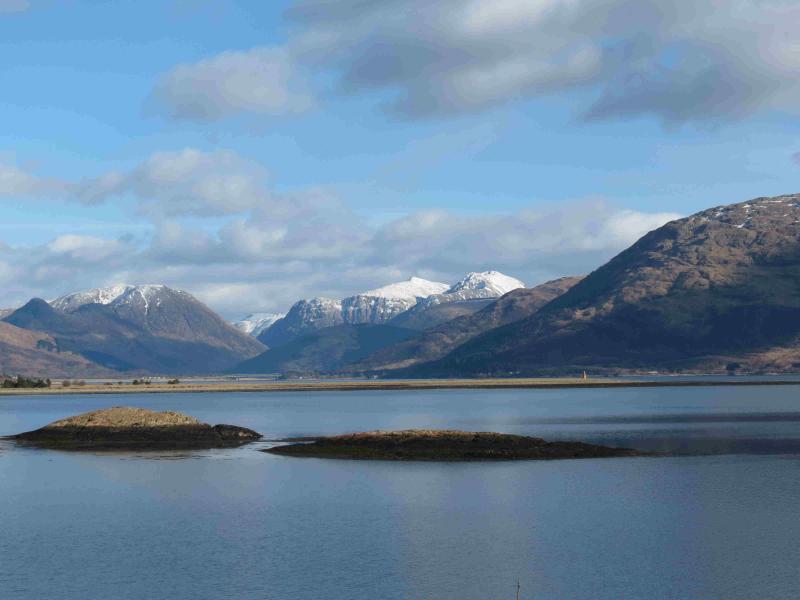
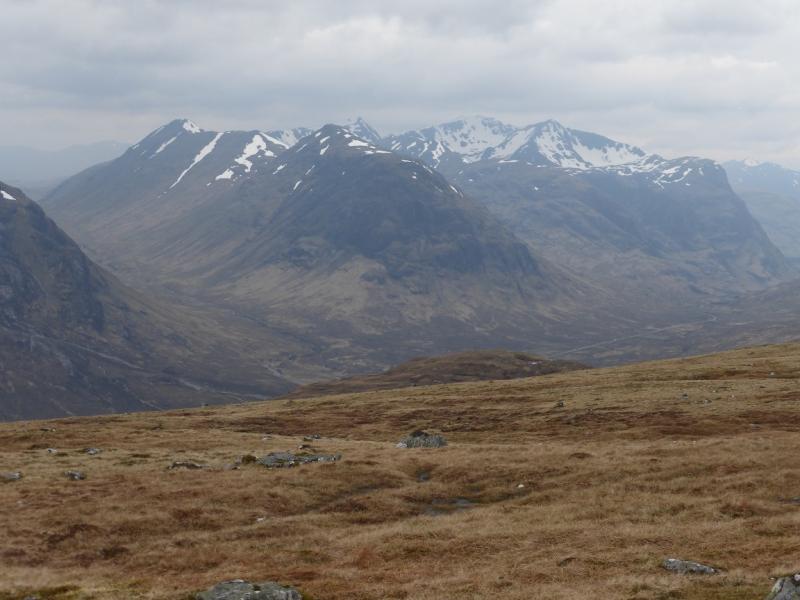
Photos - Hover over photo for caption. Click on to enlarge. Click on again to reduce.
 from Bidean nam Bian.jpg)