Get Lost Mountaineering
You are here: England » Yorkshire Dales » Howgills, Baugh Fell & Wild Boar Fell
Cautley Spout, The Calf & Yarlside from the Cross Keys
Cautley Spout, The Calf & Yarlside from the Cross Keys
Start/Finish
Lay by just to the north of the Cross Keys Inn (unlicensed!) which is on the A683 about 5 miles north of Sedbergh or about 9 miles south of Kirkby Stephen. After the walk, the Cross Keys is worth a visit for a home made afternoon tea!
Distance/Time
12 km About 5 hours
Peaks
Great Dummacks, 661 m, SD 678 963.
Calders, 674 m, SD 670 960.
Bram Rigg Top, 672 m, SD 668 965.
The Calf, 676 m, SD 667 970.
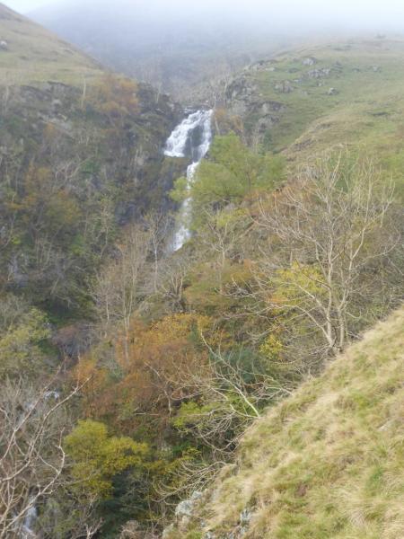
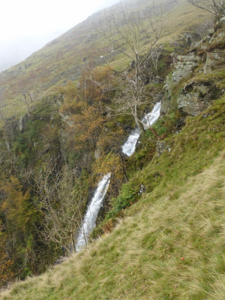
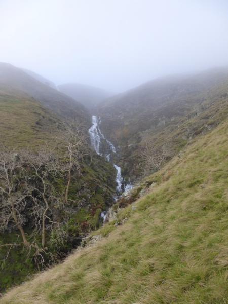
Yarlside, 638 m, SD 685 986. OL19 Howgill Fells & Upper Eden Valley
Introduction
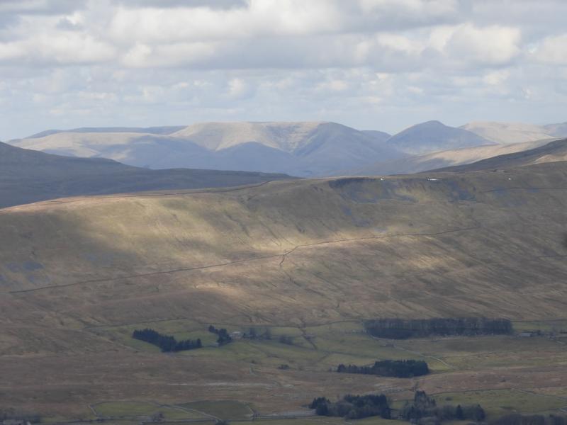
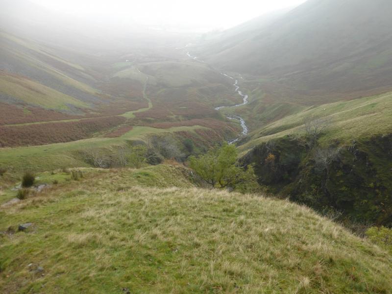
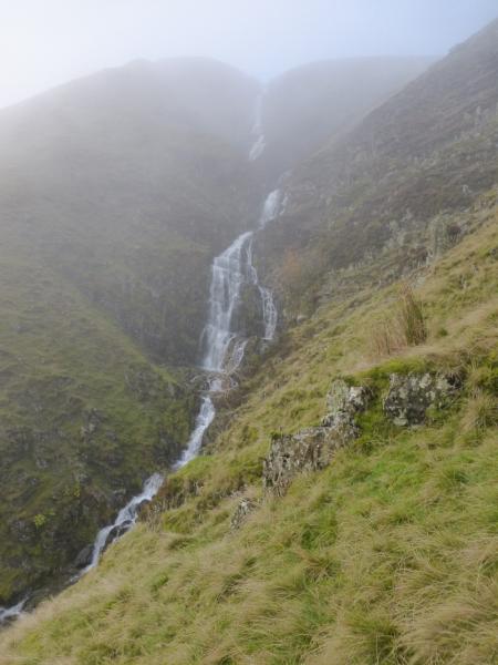
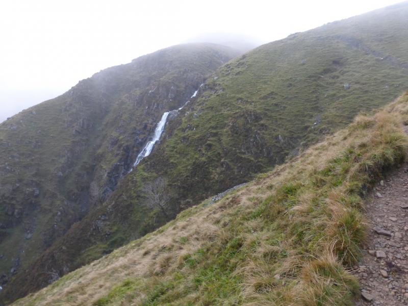
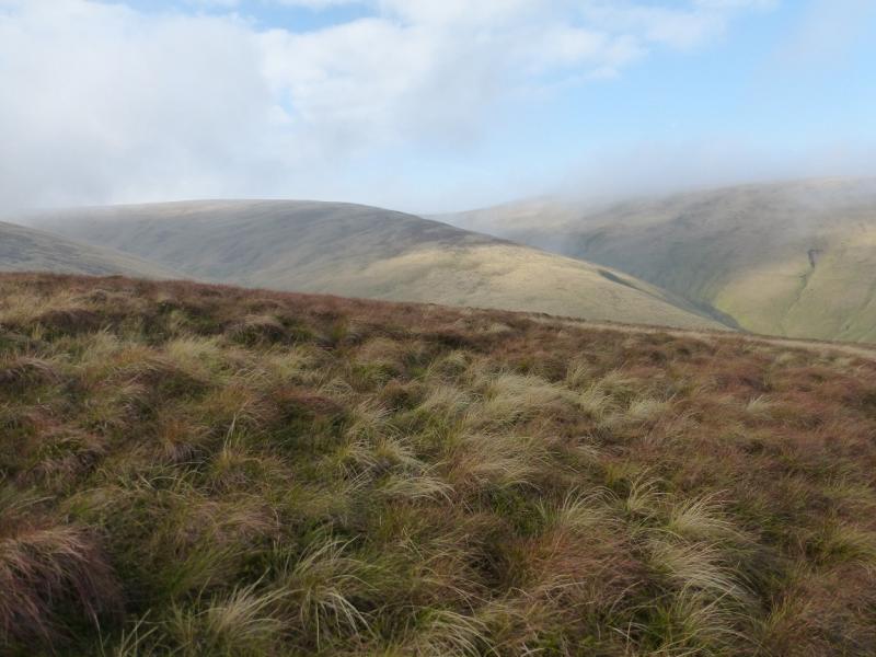
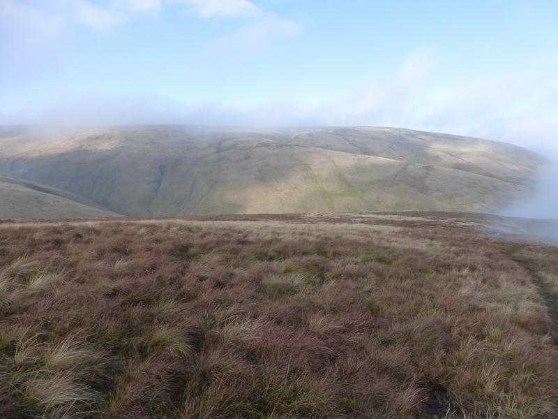
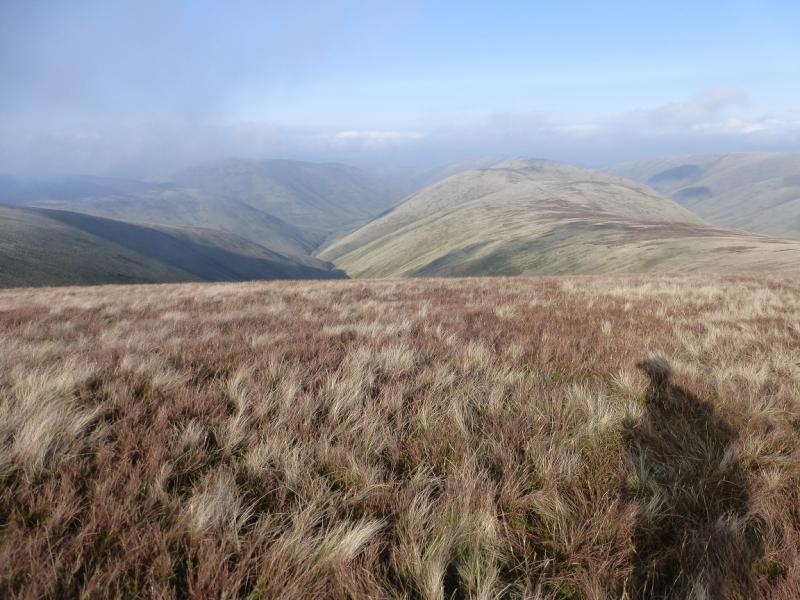
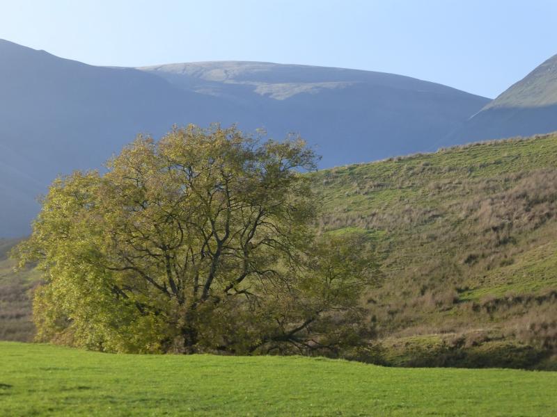
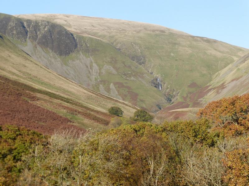
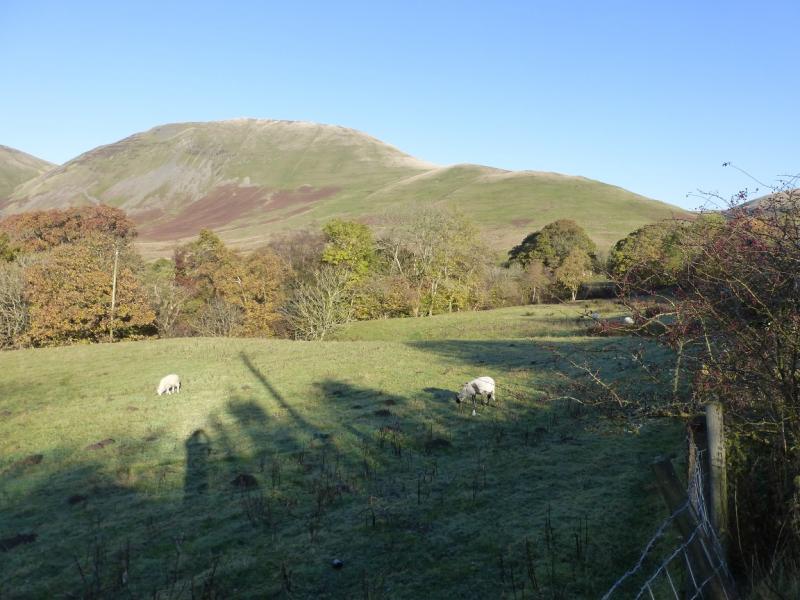
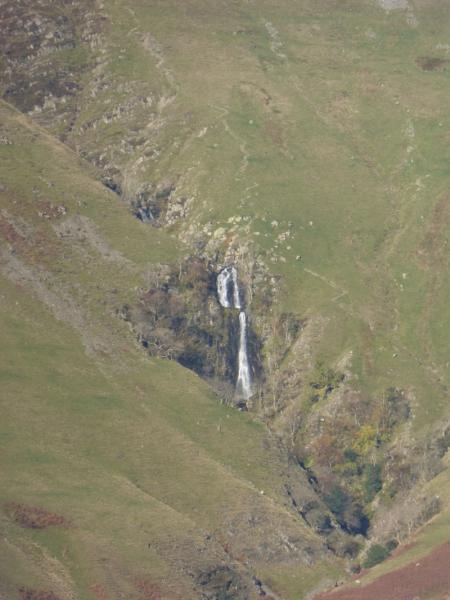
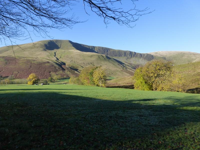
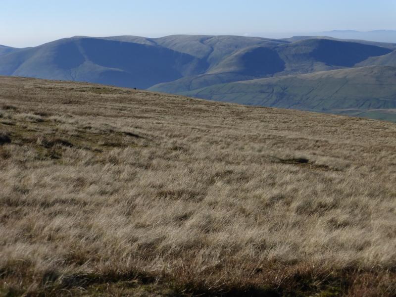
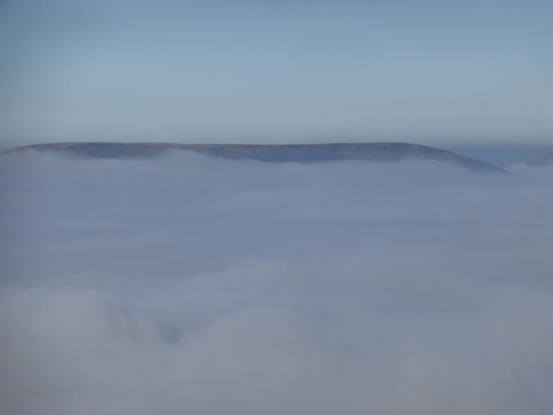
This walk lies entirely within the Howgill Fells which are bounded by the M6, A684/A683 and A685. It is a compact group known for its ridges and steep valleys. They are much quieter than the Lakelend Fells lying across the M6. The highest point is The Calf and this has good paths leading to it. Its most well known feature is Cautley Spout which is a series of impressive waterfalls. Apart from near Cautley Spout and Cautley Crag, much of the ground is grassy but not really boggy. Starting at the Cross Keys, one can walk a pleasant horseshoe even on a short winter's day. Under winter conditions, however, the steep slopes will need winter experience and equipment. The Howgills are often used for training and assessing potential mountain leaders. If you ever walk them in thick mist then you will see why!
Route
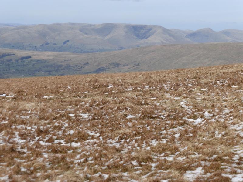
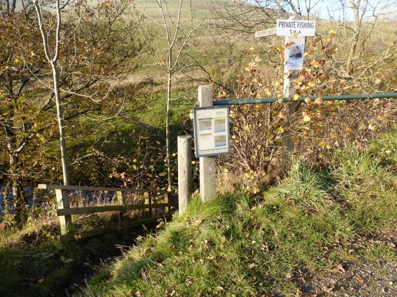
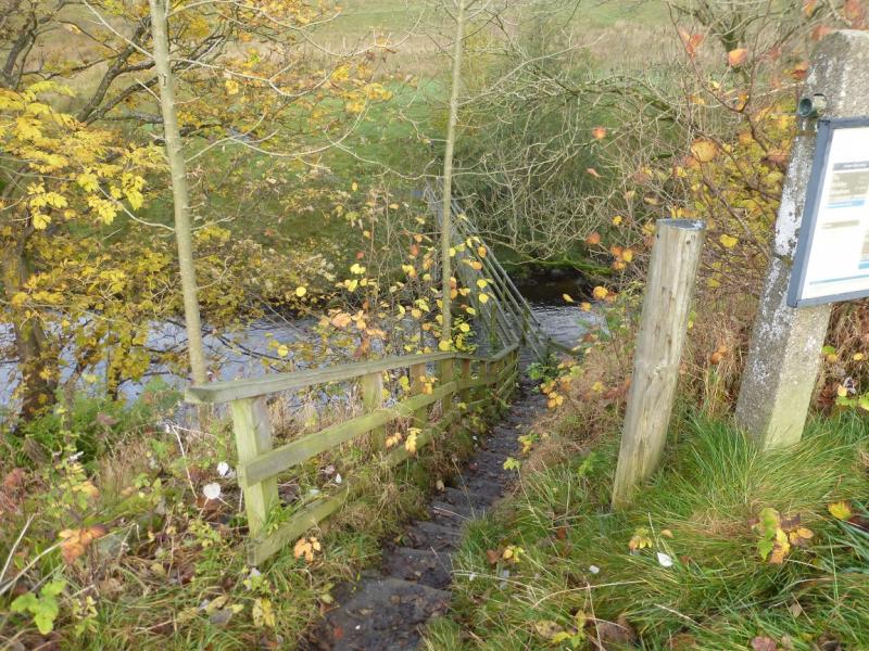
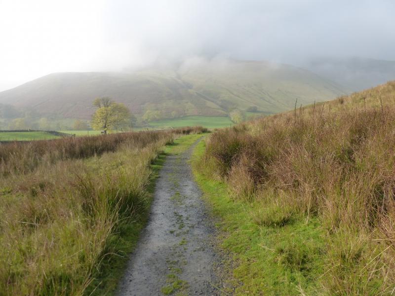
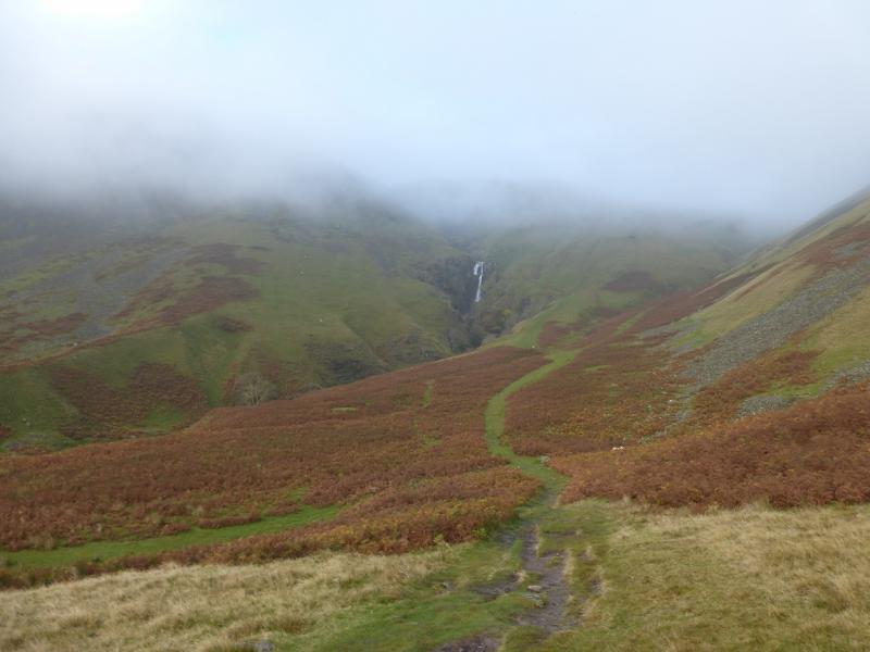
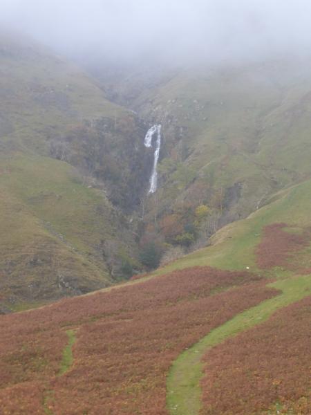
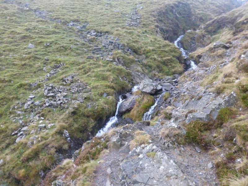
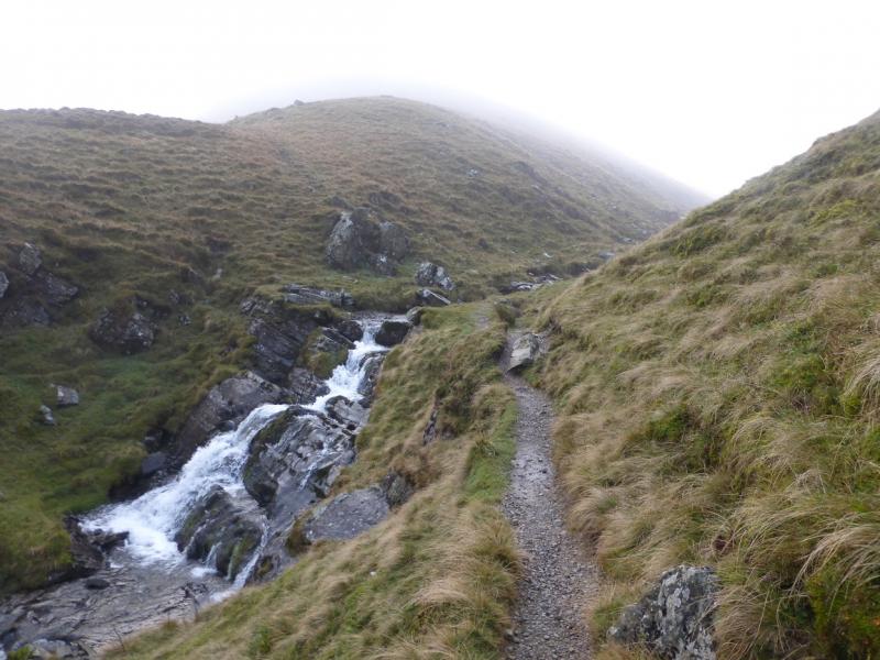
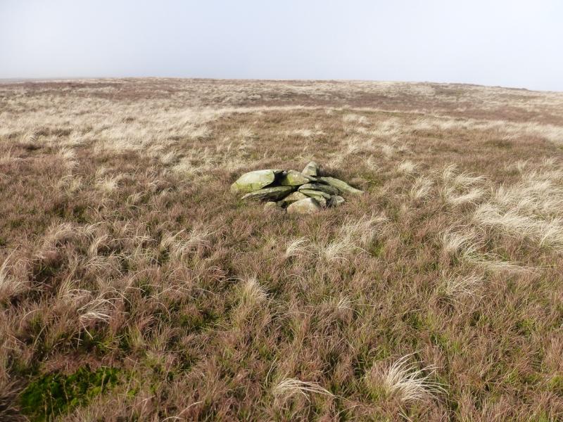
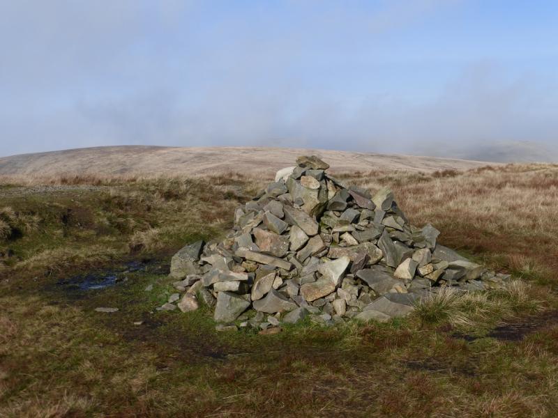
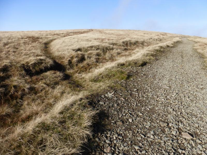
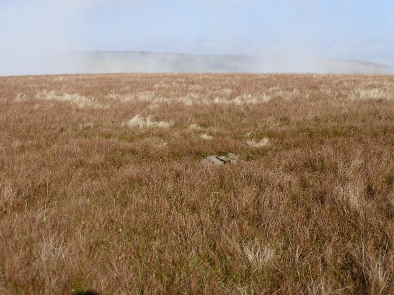
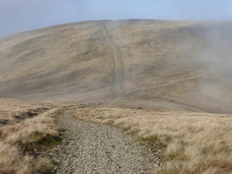
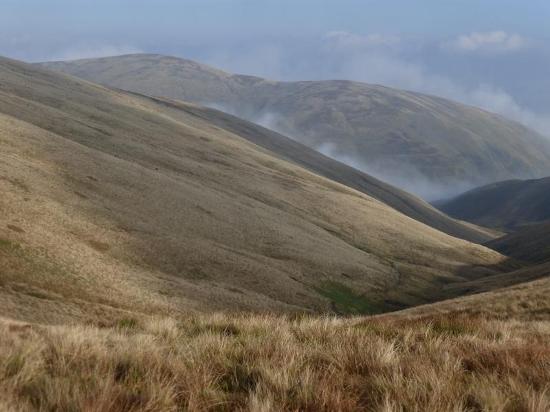
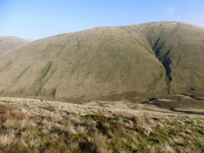
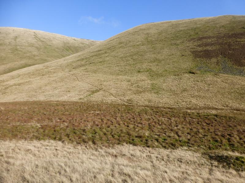
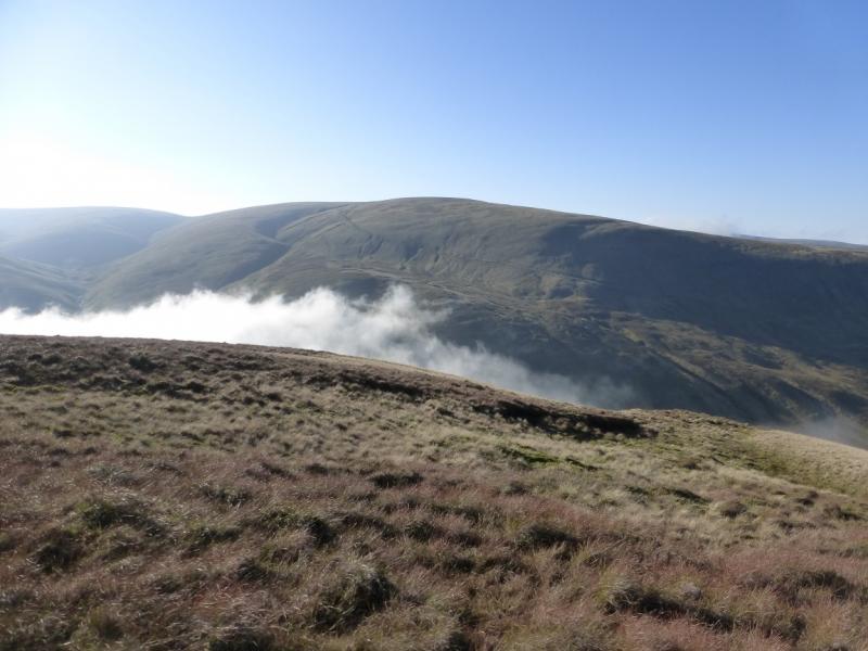
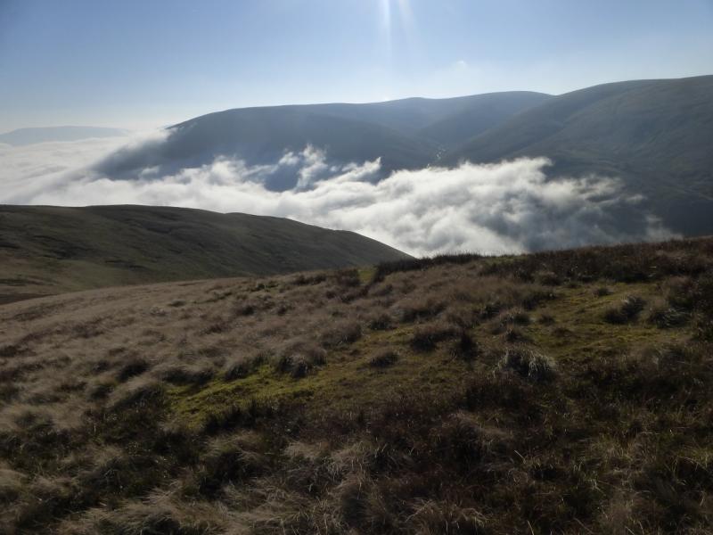
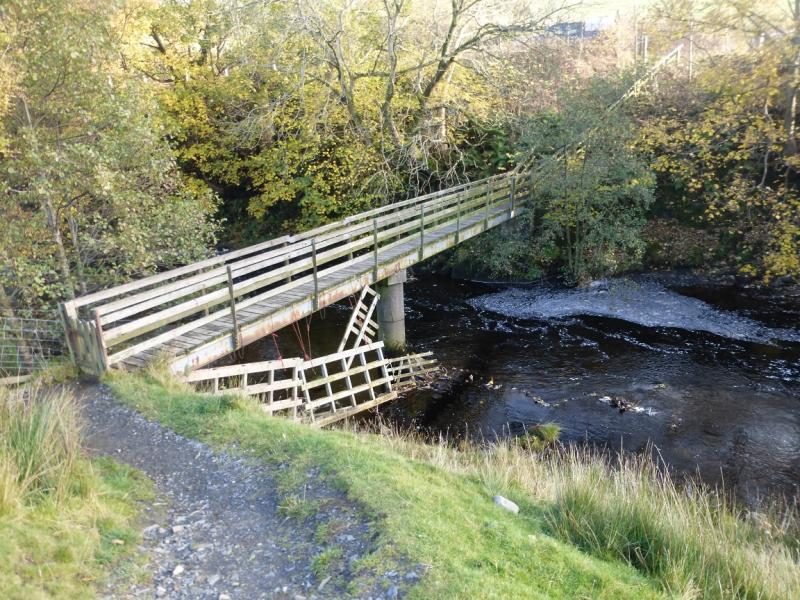
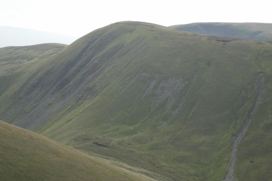
(1) From the sign in the lay by, descend to the bridge and cross the River Rawthey. Turn left, WSW, and follow the obvious path. Before too long, the path diverges from the river and swings W then NW shadowing Cautley Holme Beck. Follow the path which steepens, on short grass which can be slippery, as it climbs towards Cautley Spout. The ground falls away steeply on the left so it is wise to stick to the path which soon becomes stepped. Continue up past the waterfalls. When the path almost levels out, about where the beck splits, cross the minor stream, Swere Gill, then continue to the major stream, Red Gill Beck, which may be awkward to cross in spate. (*If you just wish to get to The Calf as quickly as possible then do not cross Red Gill Beck but follow the path up to the S col of The Calf.) Once across the beck, ascend the obvious ridge with the path gradually becoming more obvious. The ridge leads S, above the edge of Cautley Crag. About where the edge turns E, the path goes roughly W across the summit area of Great Dummacks. There is a tiny, low cairn about 100 m to the N of this path on roughly the highest point so this is the summit of Great Dummacks, 661 m. Even in clear weather, the location of this cairn is not obvious.
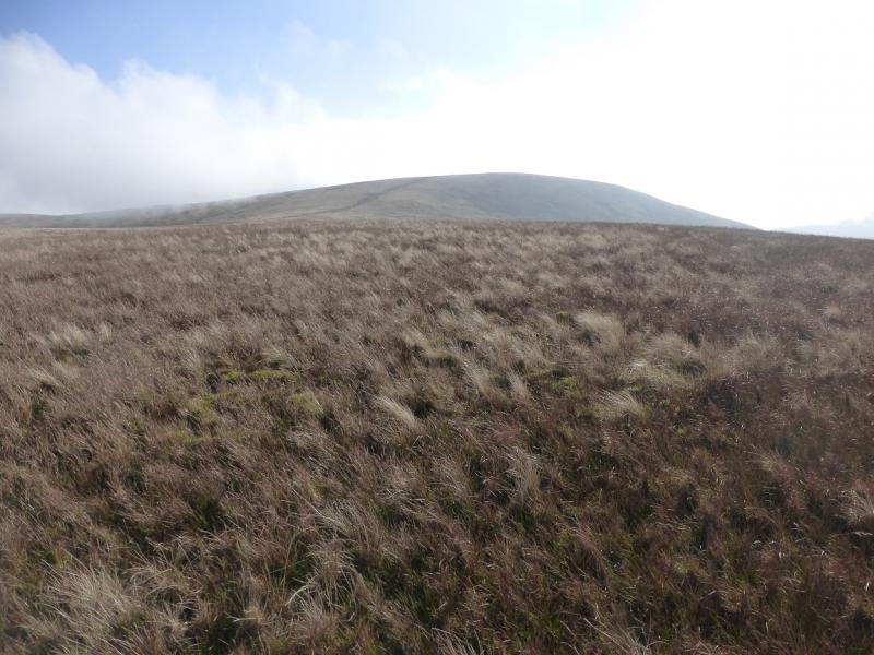
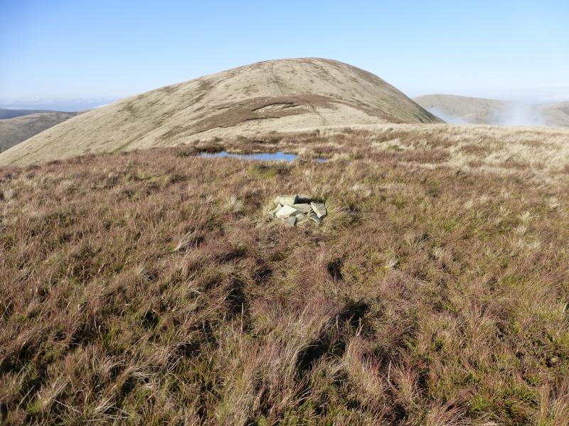
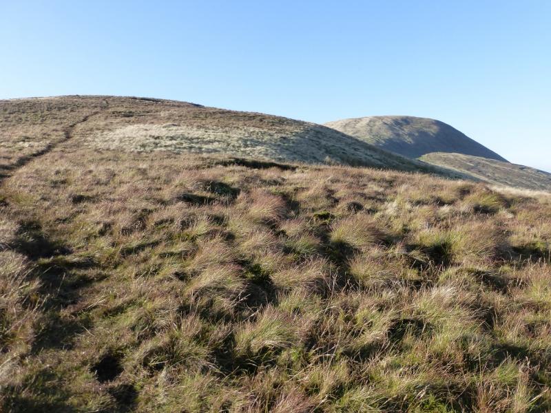
(2) Retrace to the path heading roughly W and follow it to reach an old fence line. Follow this NW then W to reach a medium cairn which is the summit of Calders, 674 m.
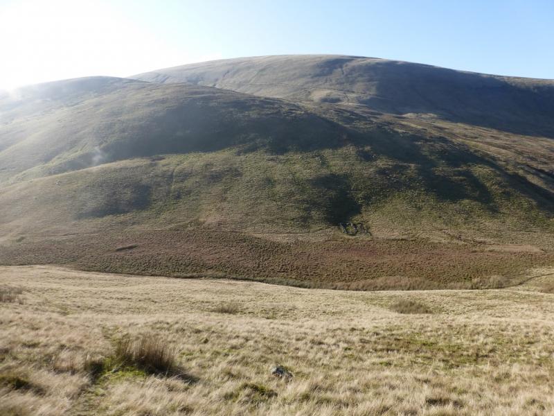
(3) Just to the N of the cairn is a very obvious path heading N/NNW. Follow this, losing little height then ascending again, until a fairly obvious path forks off left. Follow this and reach a tiny, low cairn which is the summit of Bram Rigg Top, 672 m.
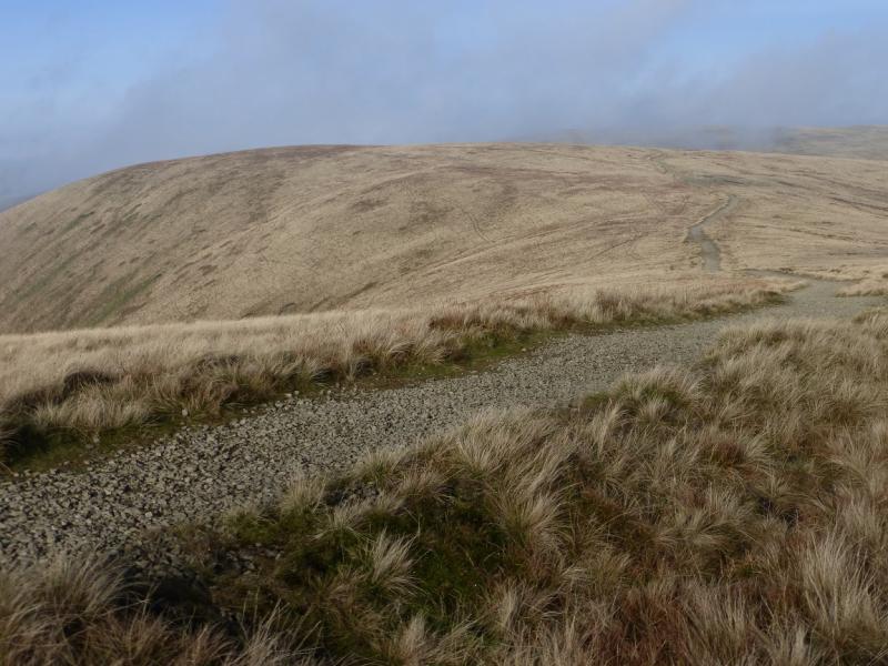
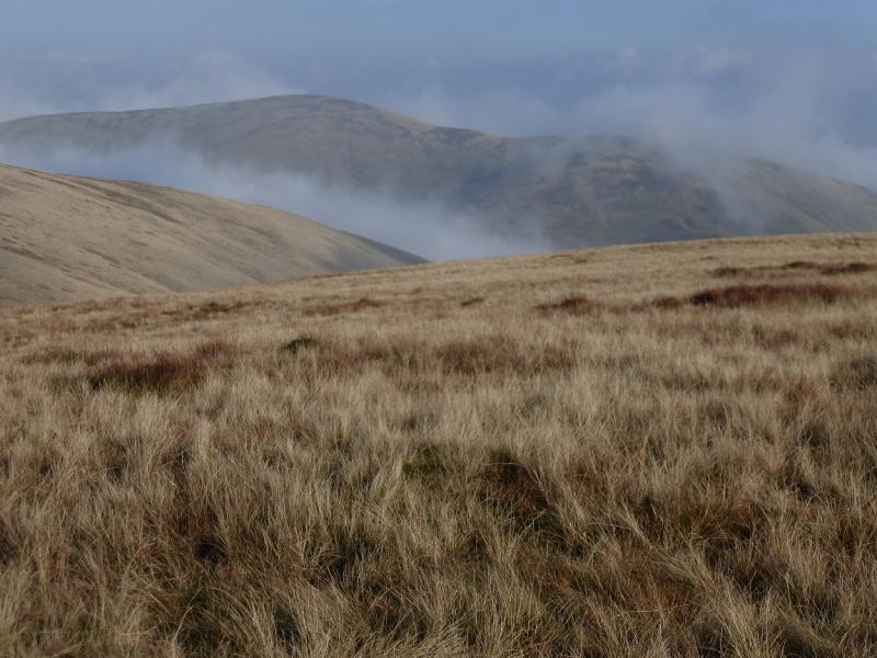
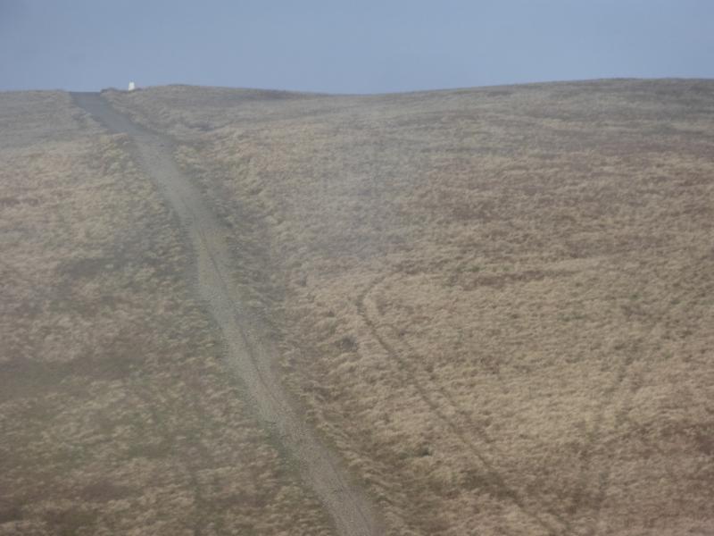
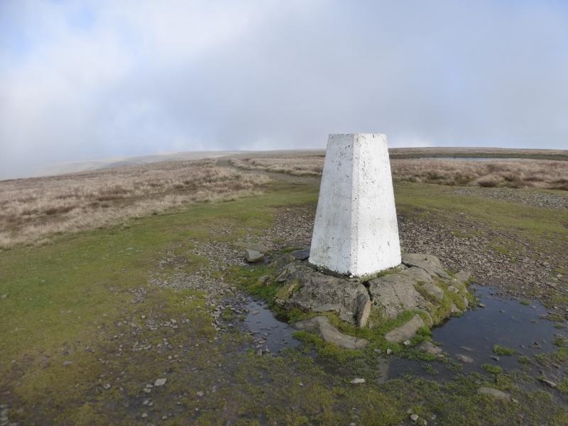
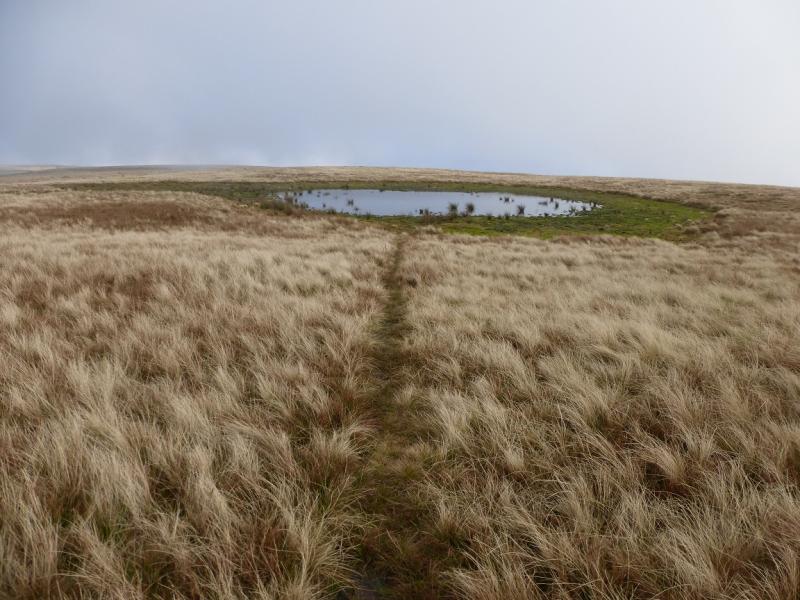
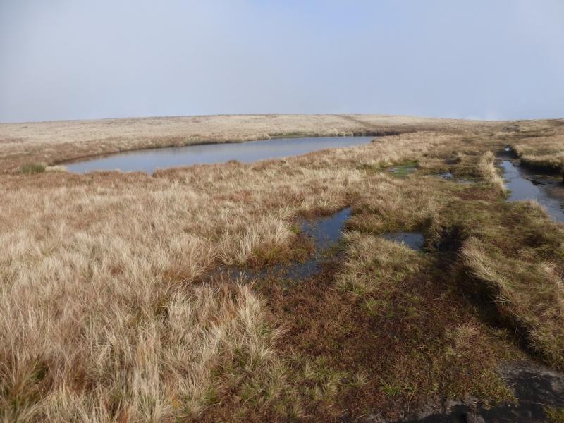
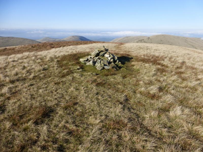
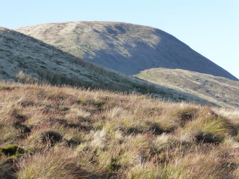
(4) Head NE, on mainly pathless ground, to rejoin the very good path and follow it down to the col where the direct route* referred to above joins this path. A short but moderately steep ascent soon leads to the trig point which is the summit of The Calf, 676 m. There is no cairn. About 60 m to the NE is a small tarn which seems small enough to dry up during a hot, dry summer.
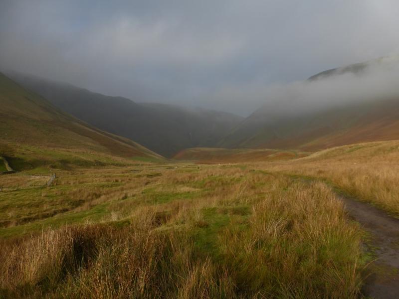
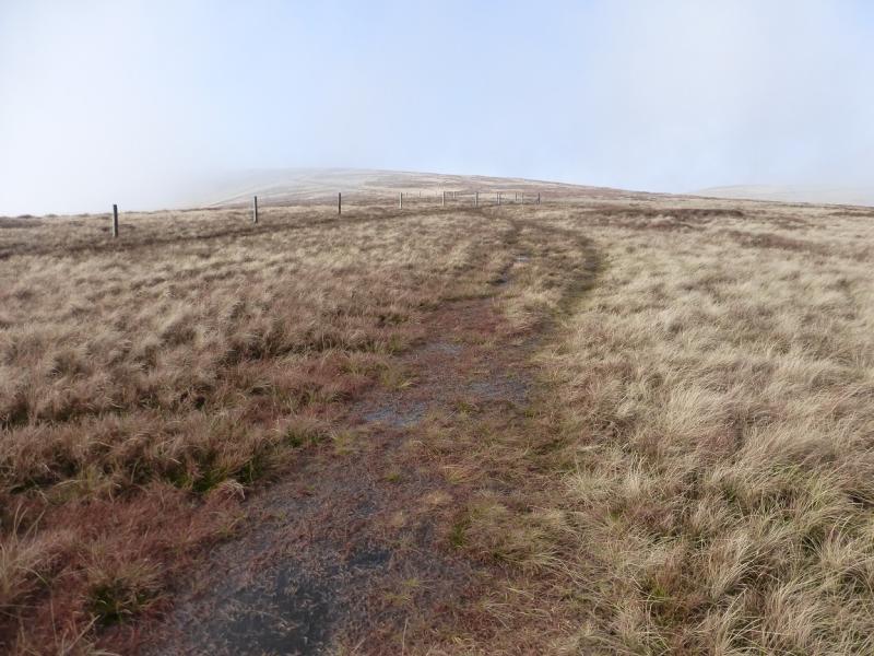
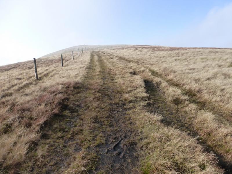
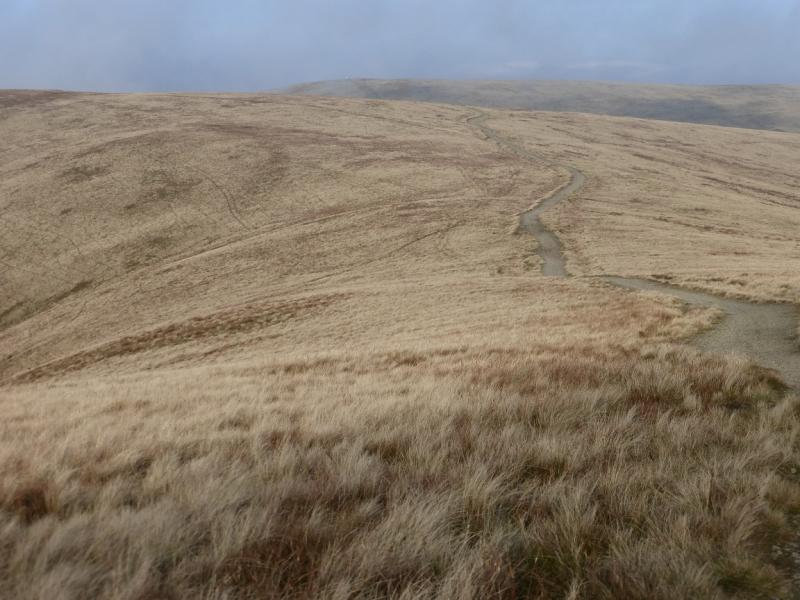
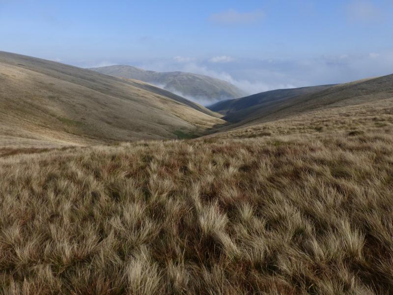
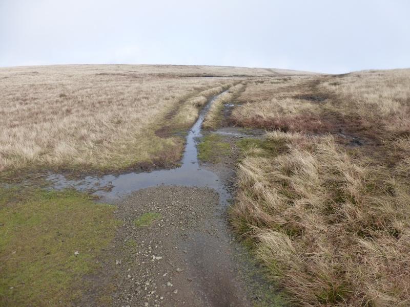
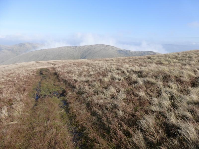
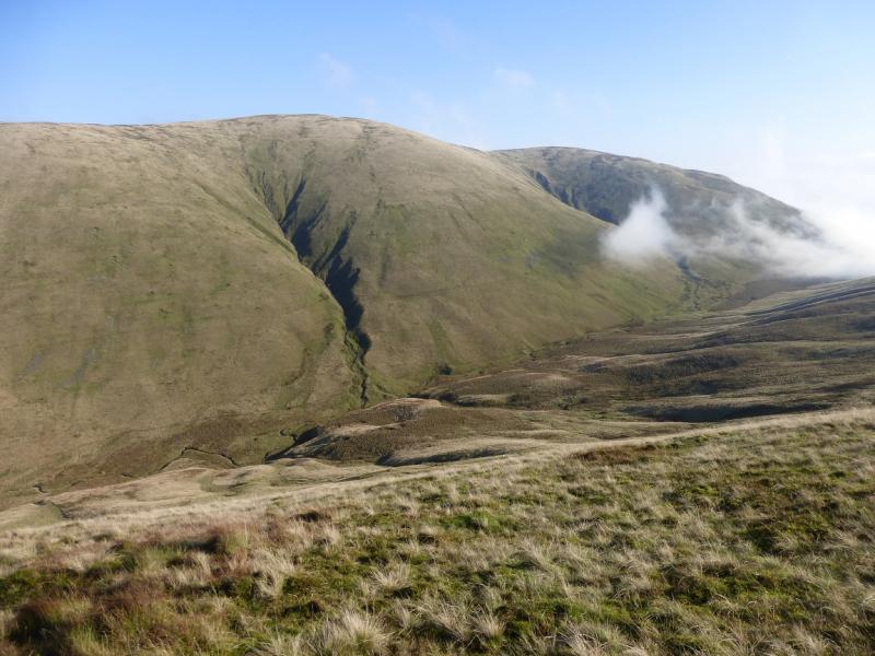
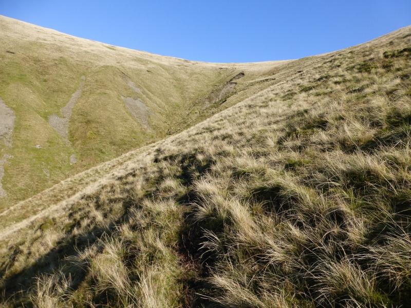
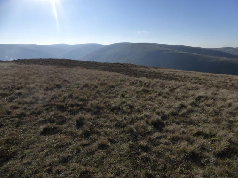
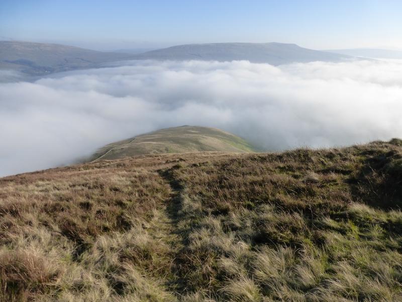
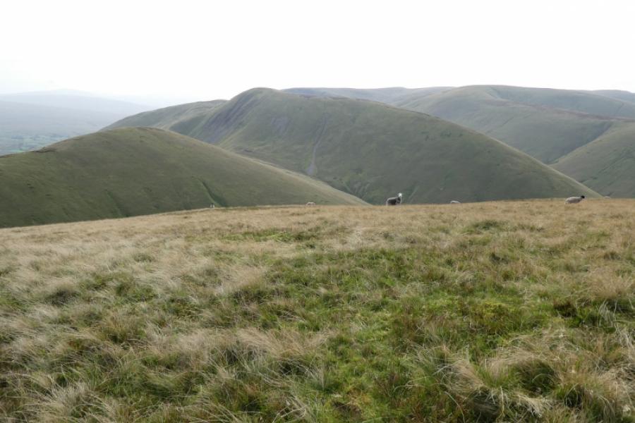
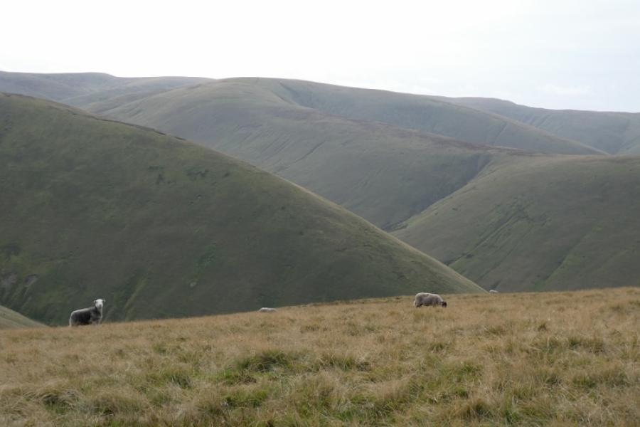
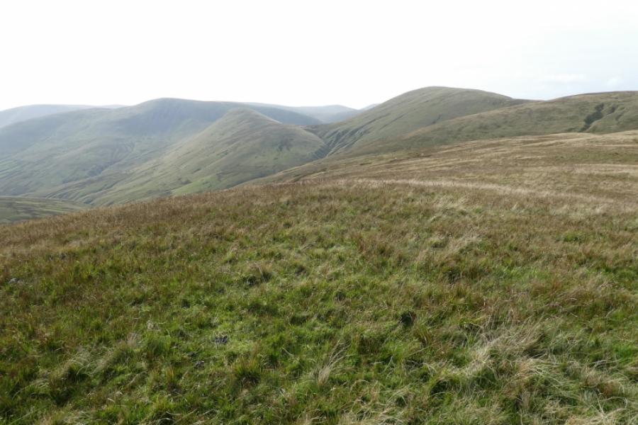
(5) Follow the obvious path, going roughly NE. After about 600 m, reach another small tarn. The path splits before the tarn so take the right fork to the tarn. Just after the tarn, the path splits again. There is now a choice. The target is to reach the col known as Bowderdale Head which is essentially the col between Yarlside and Hare Shaw. The quickest route is to take the right fork and follow it down until it can be left, about the second right fork, to descend to the col. A longer route for those who wish to explore a little to the N is to take the left fork and follow the rough track on the crest going N until the col is reached before Hazelgill Knott (about 1 km further). From this col make a descending pathless traverse, roughly SE, to reach Bowderdale Head where there is an old walled sheep fold. An obvious gully, slightly to the N, goes up between Yarlside and its S Top. To the right of this, a grassy path ascends, slanting left, across towards the gully. Follow the path which seems to peter out just before reaching the stream in the gully. Then either climb out on the right (easier option) and follow the crest across the top of the gully, heading N, or cross the stream and pick a way up the steep slopes to the crest where a path leads N to the medium cairn which is the summit of Yarlside, 638 m.
(6) Follow the path S to the shallow dip before the S Top then ascend to the tiny cairn which marks the S Top. Walk down the ESE ridge from here. There is a path but it can be faint in places. If it is lost, stick to the crest and it will reappear. The ridge is grassy but has a steep section about halfway down before turning SSE down Ben End to reach the bridge over the river to the lay by.
Notes
(a) This walk took place on 1st November, 2015, and about 15 years earlier.
(b) Sedbergh is a good base for the Howgills. It is a very small town which is somewhat of an enigma being in The Yorkshire Dales National Park but within the county of Cumbria and has a Lancashire post code!
Photos - Hover over photo for caption. Click on to enlarge. Click on again to reduce.