Get Lost Mountaineering
You are here: England » Yorkshire Dales » Howgills, Baugh Fell & Wild Boar Fell
Wild Boar Fell & Swarth Fell from near Aisgill
Wild Boar Fell & Swarth Fell from near Aisgill
Start/Finish
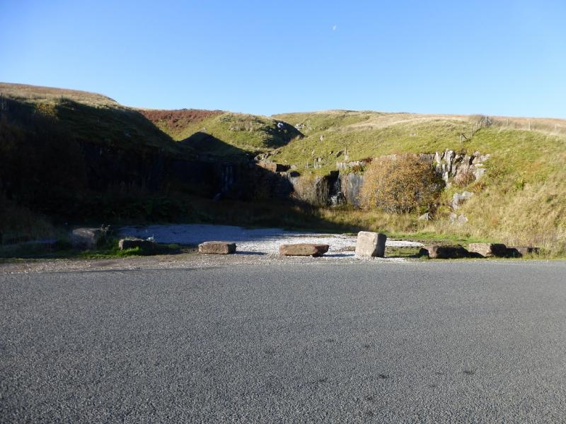
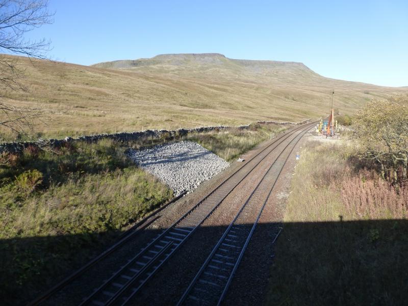
Rough parking spaces opposite old quarry close to Cotegill Bridge which is close to where the B6259, the Moorcock Inn (junction with A684 Sedbergh to Hawes road) to Nateby/Kirby Stephen road, crosses the railway at SD773 969. This is about 2.5 miles north of the Moorcock Inn or about 7.5 miles south of Kirkby Stephen. Parking is limited so arrive early at busy times.
Distance/Time
13 km. About 5 hours.
Peaks
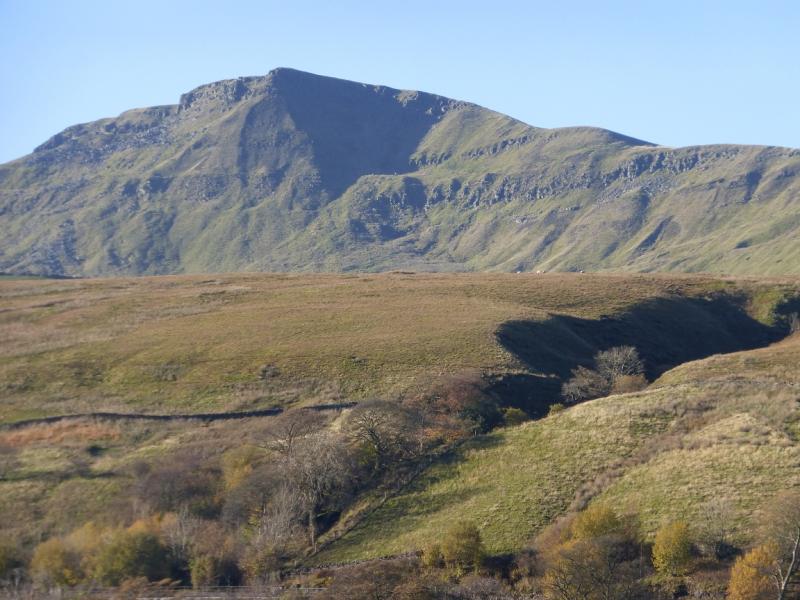
Wild Boar Fell, 708 m, SD 757 988.
Swarth Fell, 681 m, SD 755 967. OL19 Howgill Fells & Upper Eden Valley
Introduction
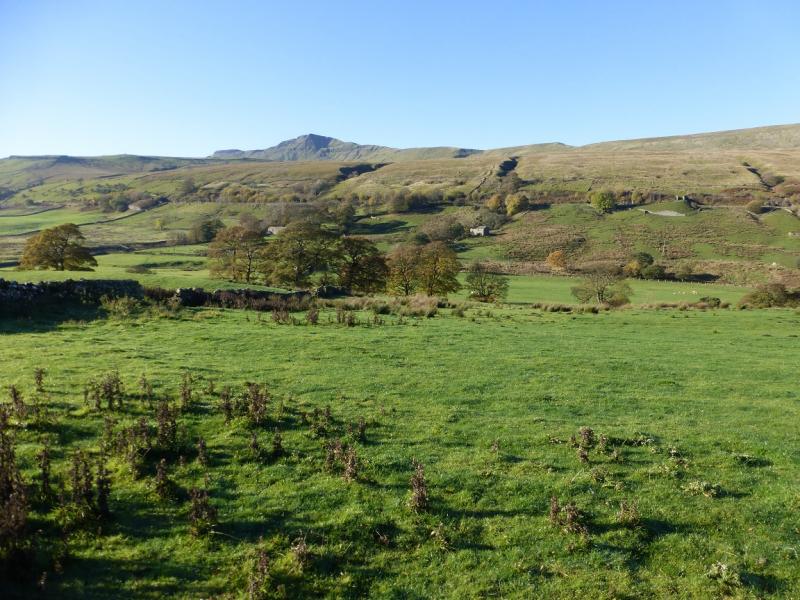
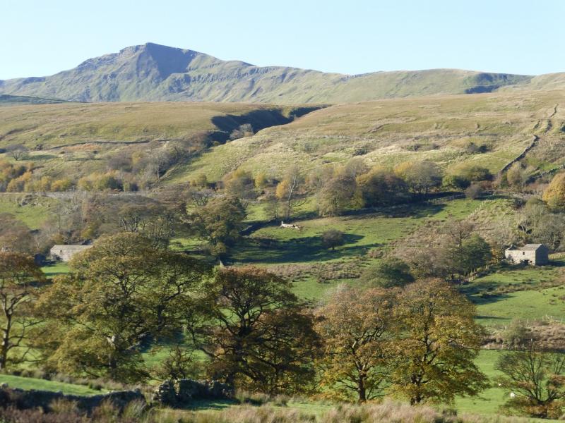
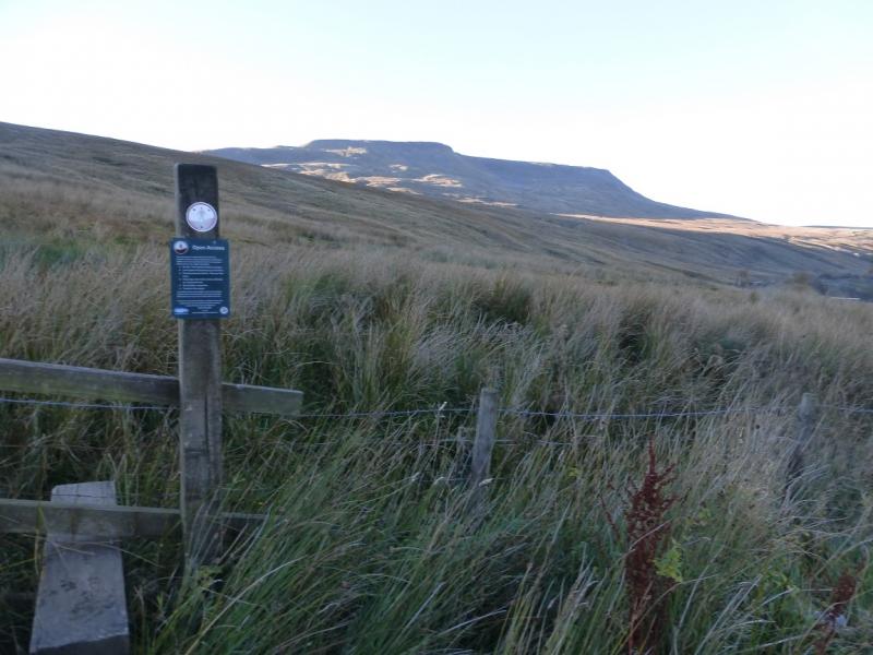
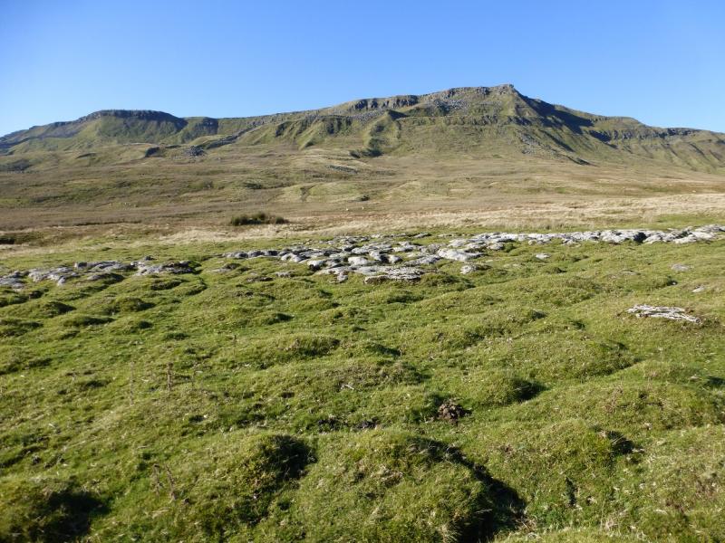
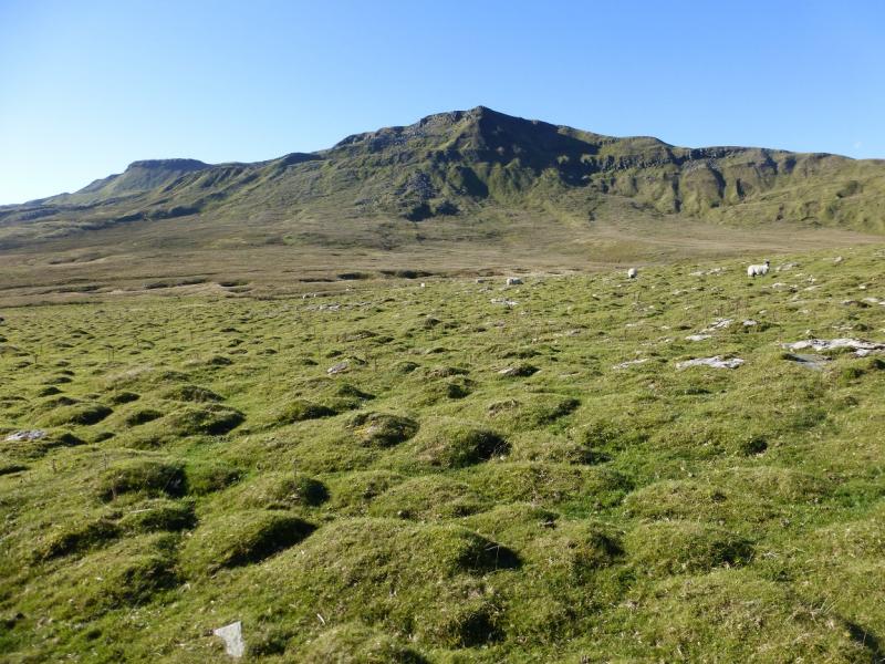
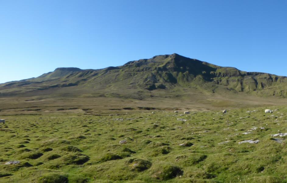
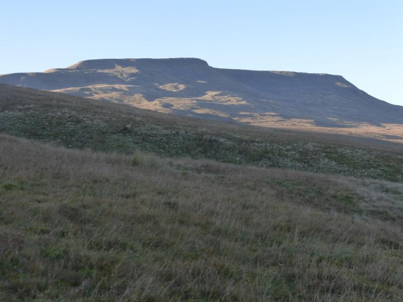
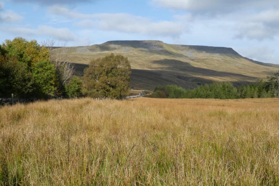
Wild Boar Fell looks and feels like a real mountain especially from the Mallerstang road, B6259. It gives a good circuit when combined with Swarth Fell and can easily be walked on a short winter's day. The ground can be wet and is boggy in a few places but not too bad. There are fine views of the Howgills to the west and the Mallerstang Edge to the east. On a clear, many Lakeland fells can be spotted including Scafell and Scafell Pike. The route given is not the shortest and involves some doubling back but gives the best views without missing anything out.
Route
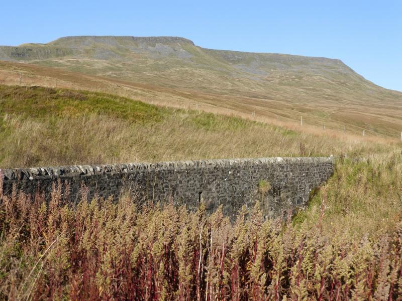
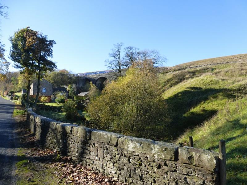
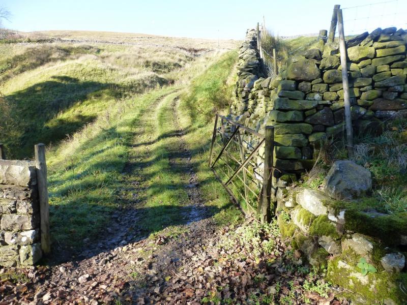
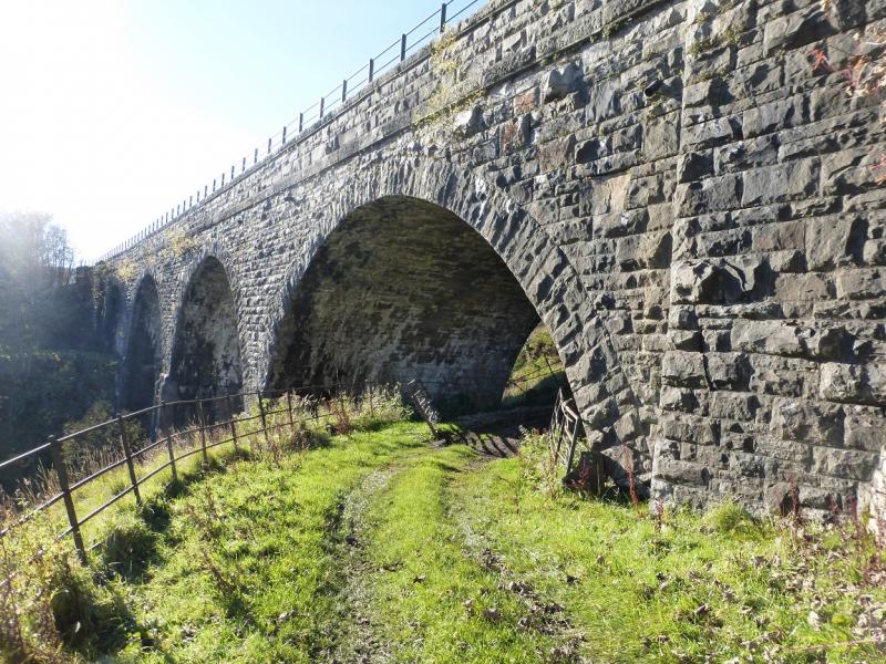
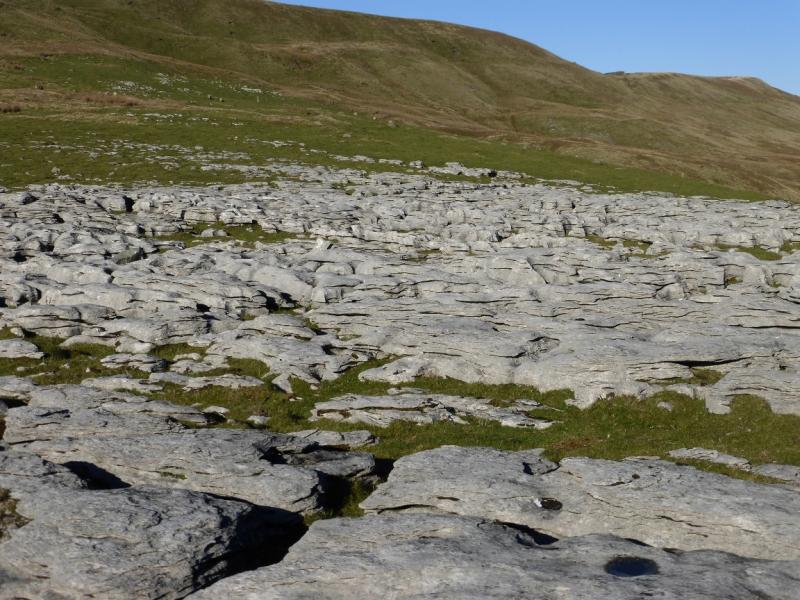
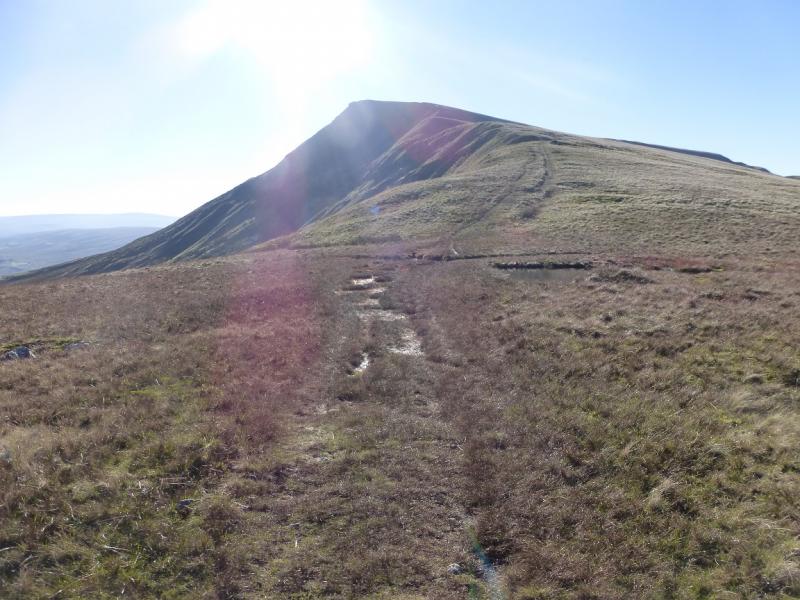
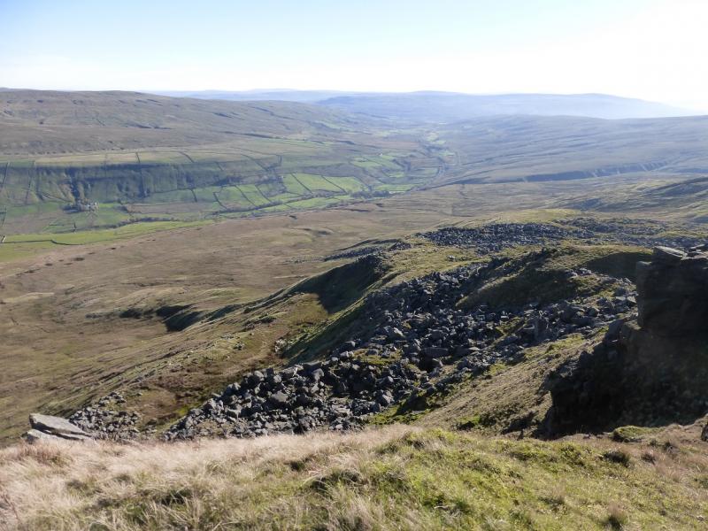
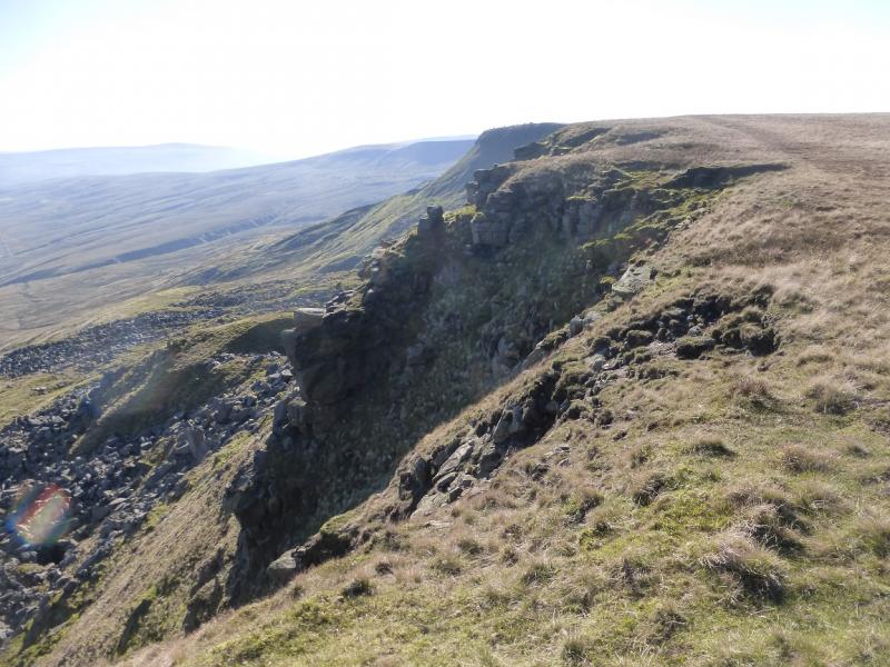
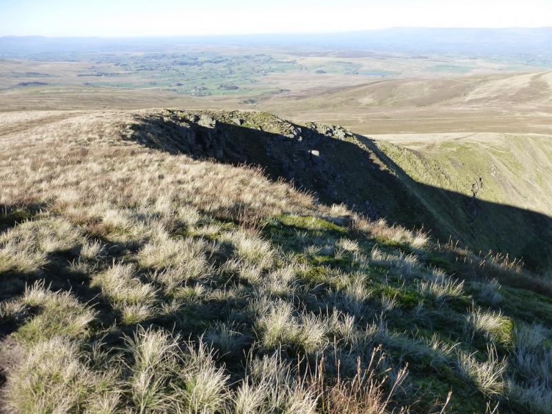
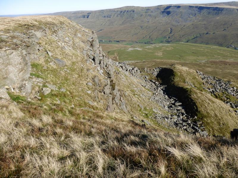
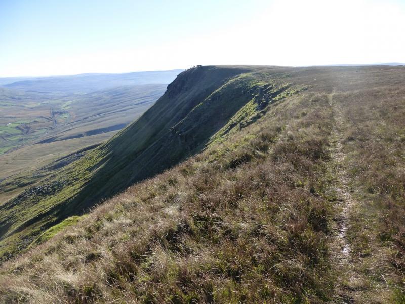
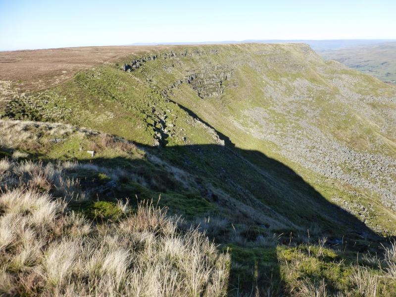
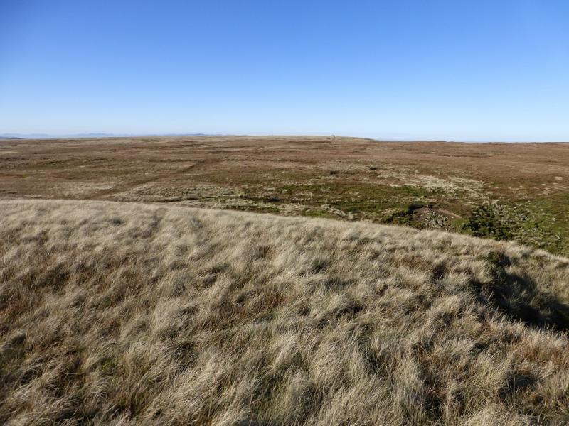
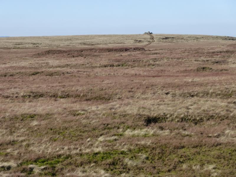
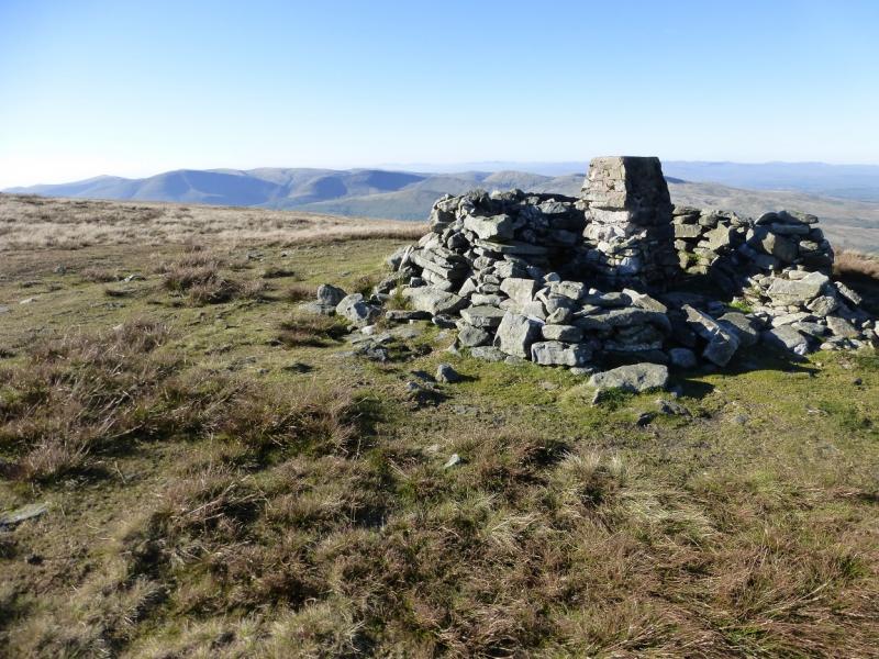
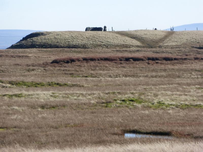
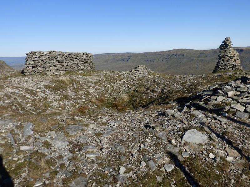
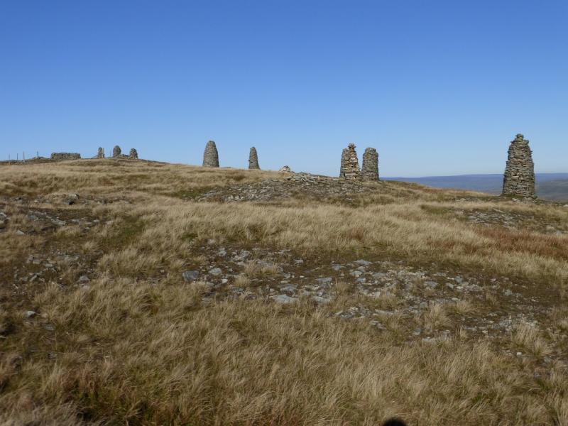
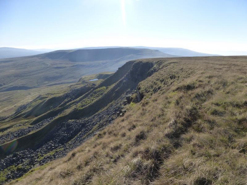
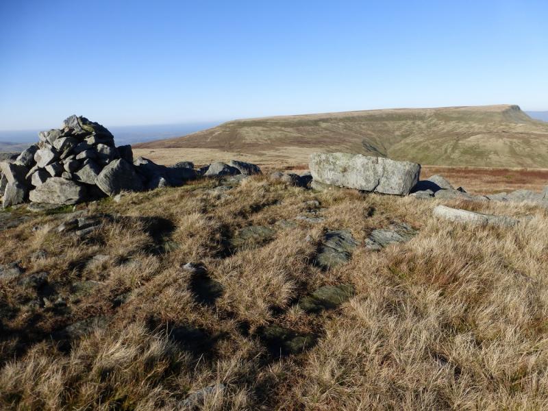
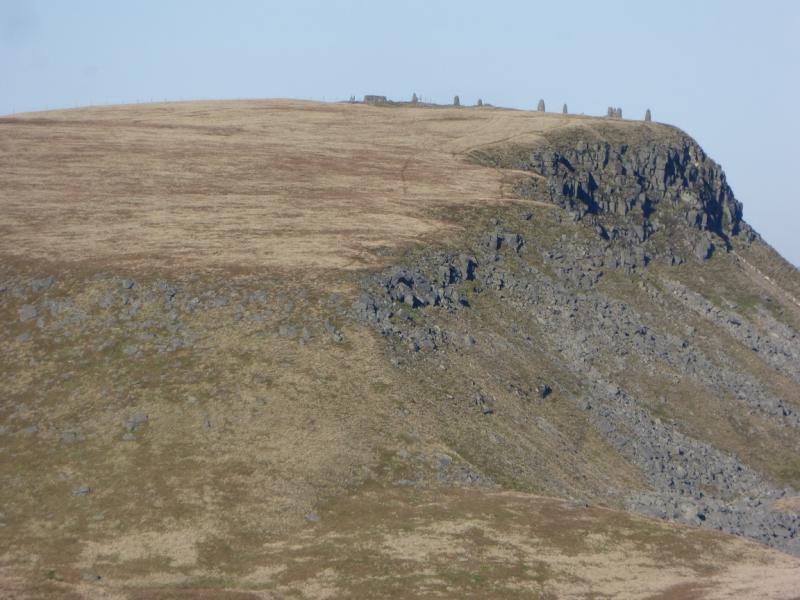
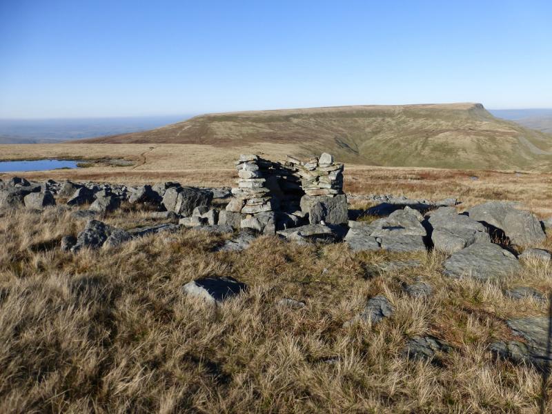
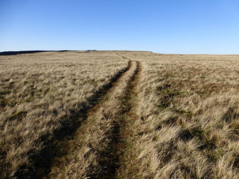
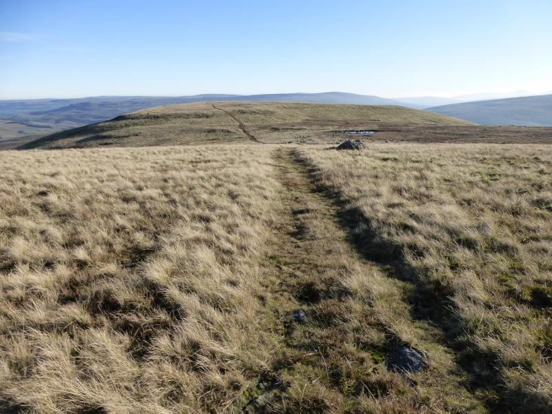
(1) Walk N along the road which crosses the railway and descends gently to Aisgill Farm, on the right, and Aisgill Viaduct on the left. Go past the house below the viaduct and within 100 m, reach a rough track going uphill on the left. Follow this which soon curves left to go under the viaduct then follows a wall as it diverges from the railway. This section can be quite boggy. Continue following the wall, passing some pot holes, until the wall turns towards the valley (not for long though!). Continue on a faint path heading roughly NNW towards High Dolphinsty. Some limestone pavements, in varying stages of erosion, will be passed, or crossed if you wish. Before too long, reach the bridleway going up to High Dolphinsty where it meets a wall. Just before the wall, a path goes left which follows the eastern edge of the N ridge and heads S towards Wild Boar Fell. Follow the ridge up until the path splits at the start of the large summit plateau. The main path forks right towards the summit trig point but ignore this and stay on the edge where the views are better. Continue until a shelter cairn is reached just before a succession of pillar cairns which may have been spotted from the walk in below. From the shelter cairn, follow a path NW for about 500 m, with a detour around the boggy ground about halfway, to reach a shelter cairn with a trig point inside which is the true summit of Wild Boar Fell, 708 m. It looks out towards the Howgills and the Lake District fells.
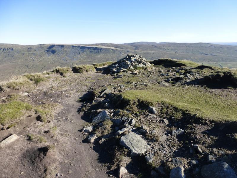
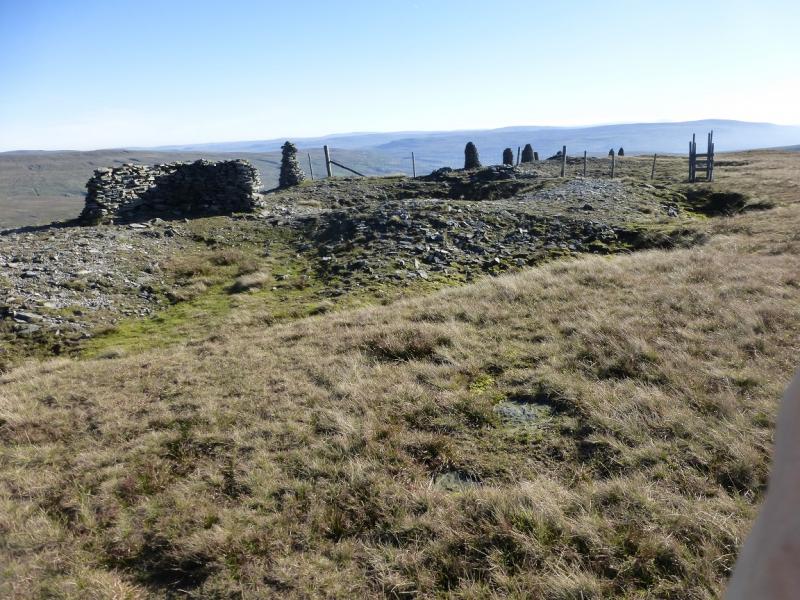
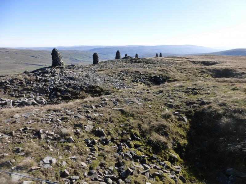
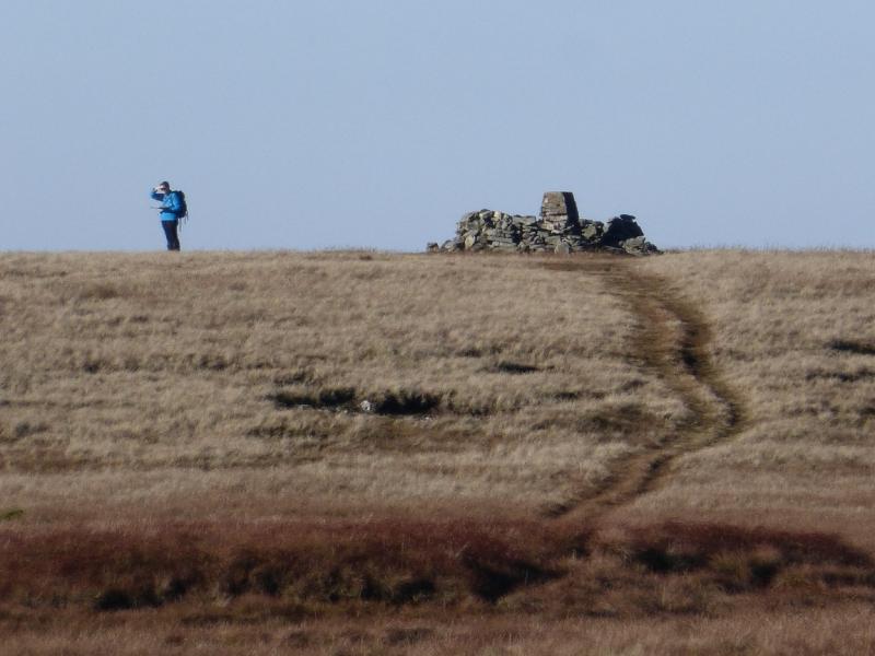
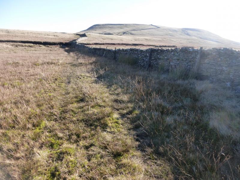
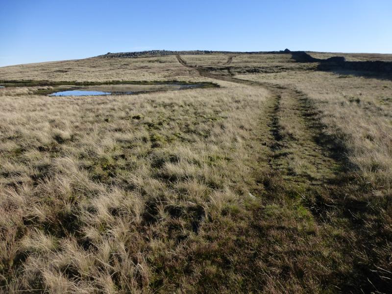
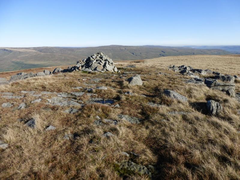
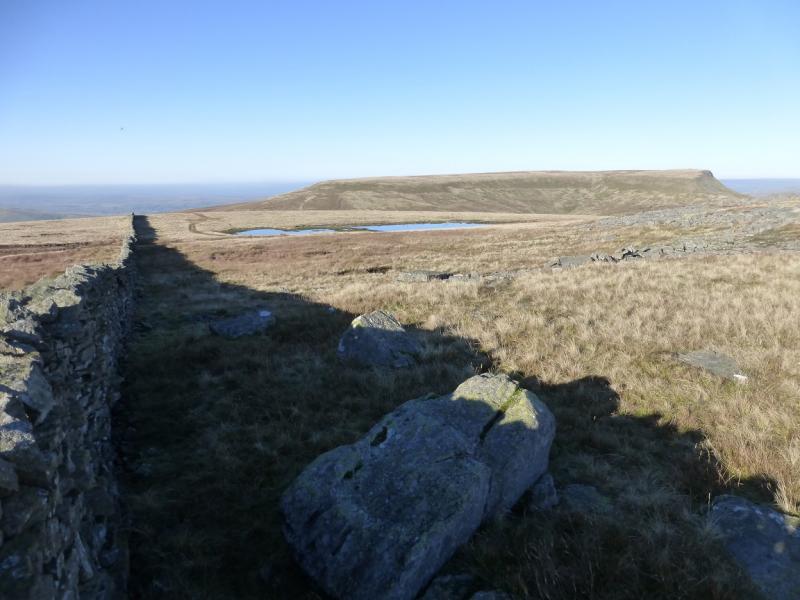
(2) Retrace to the shelter cairn and pillar cairns on the eastern edge. Go over the stile and walk through the pillar cairns and along the edge for about 400 m until it starts to descend significantly. Walk NW along the edge called The Band to intersect with the good path coming from the stile – this is the higher of the two paths which will be seen. Follow this path, which soon converges with a fence, becoming a wall, and leads down to an often wet col where there is a small tarn off to the left. Continue on the path, following the wall, up on to Swarth Fell. The large cairn is about 200 m NE of the highest point on the wall but the path leads to it anyway and this is the summit of Swarth Fell, 681 m. There are plenty of rocks to sit on for lunch. On 2/11/15, there was a “pulpit” made out of stone close to the summit which looks back to Wild Boar Fell.
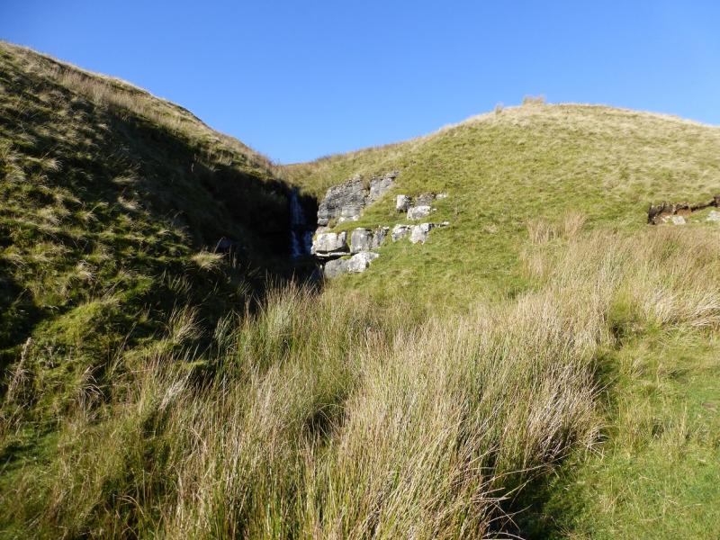
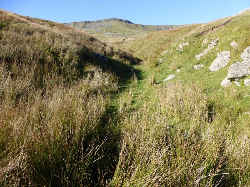
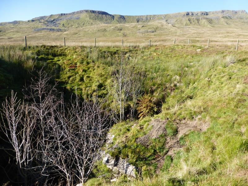
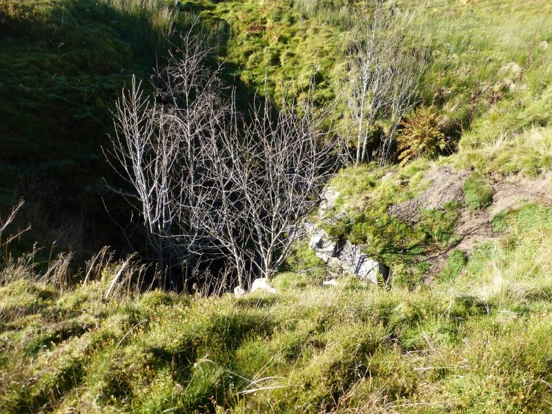
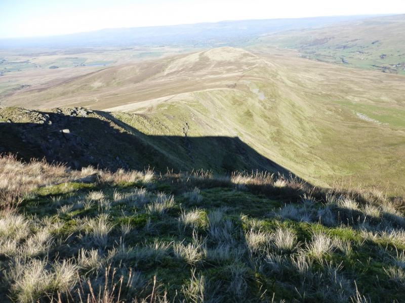
(3) Continue along the crest, on an obvious path, heading roughly S. Descend to the dip before Swarth Fell Pike then turn left, ENE, and descend into the gully, not obvious at first, from which Far Cote Gill flows. The descent becomes moderately steep for a short while on mossy grass which can be slippery but soon the gradient eases. When the gill becomes obvious, keep it on your right and follow it down. There is an intermittent faint path. The gill actually becomes the waterfall in the old quarry at the start but it is best to go left before the quarry to reach a gate on to the road. The descent usually takes less than an hour.
Notes
(a) This walk took place on 2nd November, 2015, and about 20 years earlier.
(b) Sedbergh is a good base for the Howgills and Wild Boar Fell. It is a very small town which is somewhat of an enigma being in The Yorkshire Dales National Park but within the county of Cumbria and has a Lancashire post code!
Photos - Hover over photo for caption. Click on to enlarge. Click on again to reduce.