Get Lost Mountaineering
You are here: England » Yorkshire Dales » Howgills, Baugh Fell & Wild Boar Fell
Baugh Fell by West Ridge from Tom Croft Hill Car Park
Baugh Fell by West Ridge from Tom Croft Hill Car Park
Start/Finish
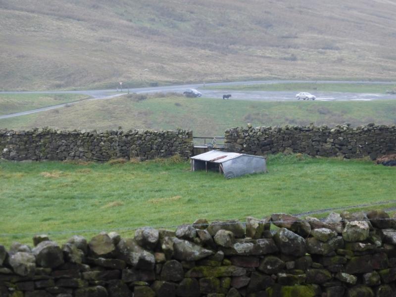
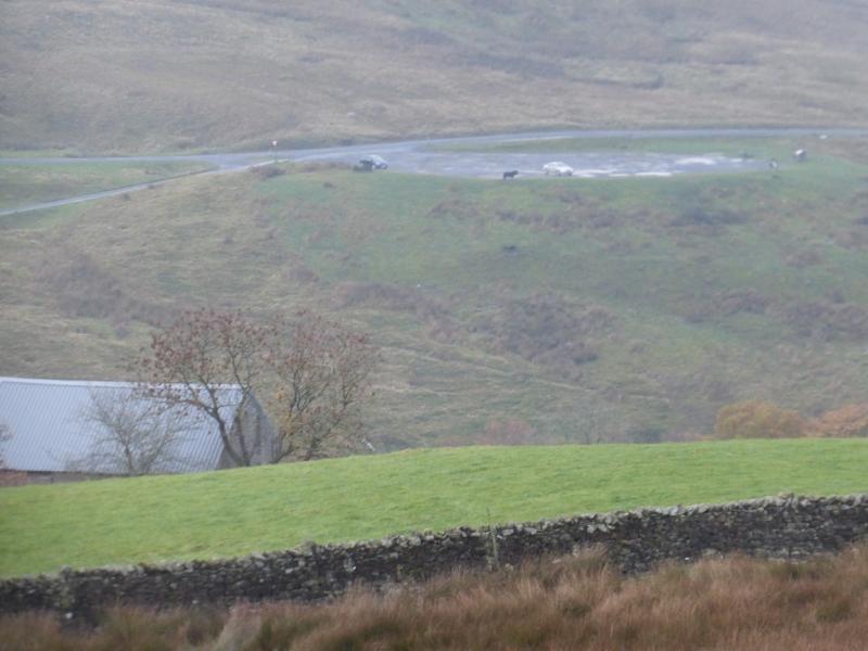
Tom Croft Hill car park which is just over 2 miles east of Sedbergh on the A684 road towards Hawes. It is a very large car park which is a popular viewing area for the Howgill Fells to the west. There is nowhere nearer for a sensible and considerate walker to park.
Distance/Time
13 km. About 4 hours.
Peaks
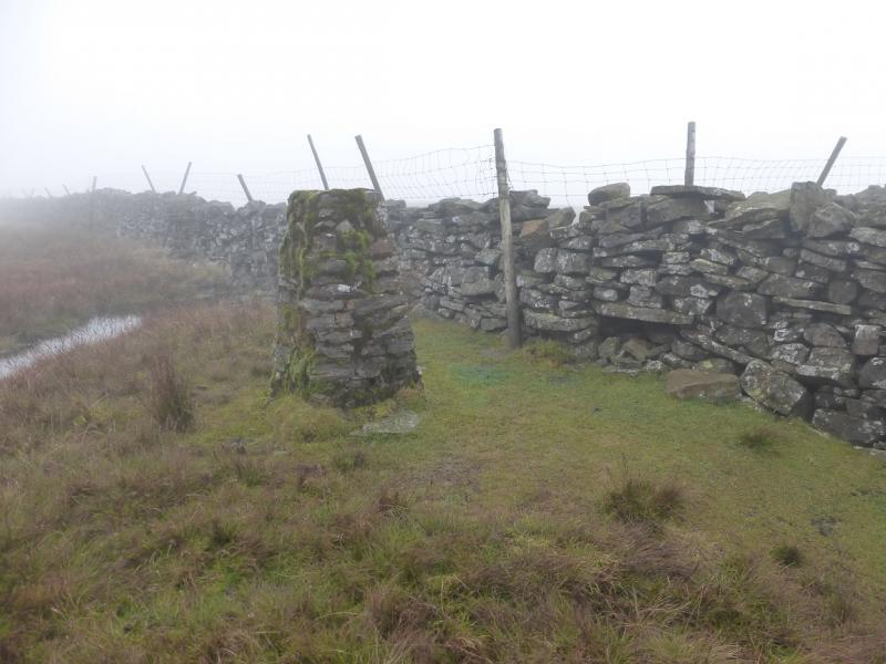
Knoutberry Haw, 676 m, SD 731 919.
Tarn Rigg Fell, 678 m, SD 740 916. OL19 Howgill Fells & Upper Eden Valley.
Introduction
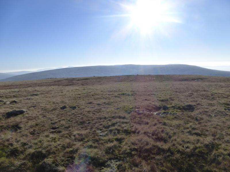
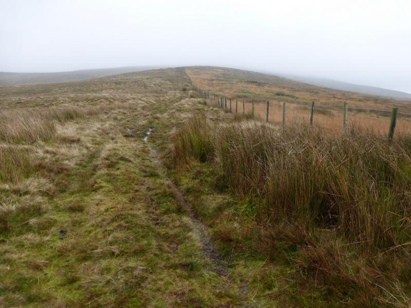
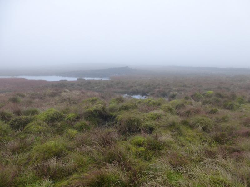
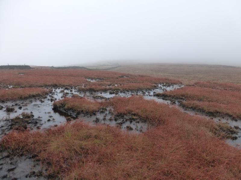
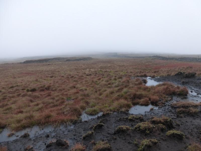
Baugh Fell is a high moorland hill which occupies a huge area. On a clear day, it is an excellent viewpoint for the Howgills, Wild Boar Fell, Great Coum and Whernside. This route approaches from the west and is very easy to navigate, even in mist, almost idiot proof one might say! On its east to west ridge, above the A684, Baugh Fell has two tops: Knoutberry Haw which has a trig point and the slightly higher Tarn Rigg Hill which has nothing to mark its highest point. The ground up the west ridge can be wet in places. The ground between the two tops can be very wet, mossy, peaty and boggy so go prepared!
Route
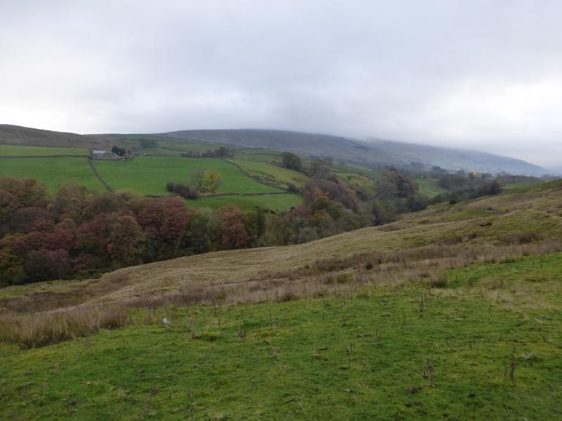
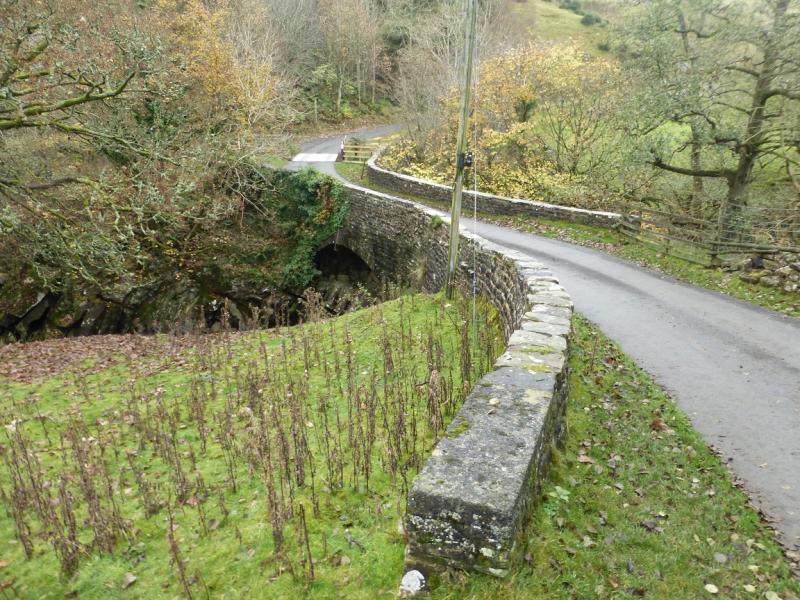
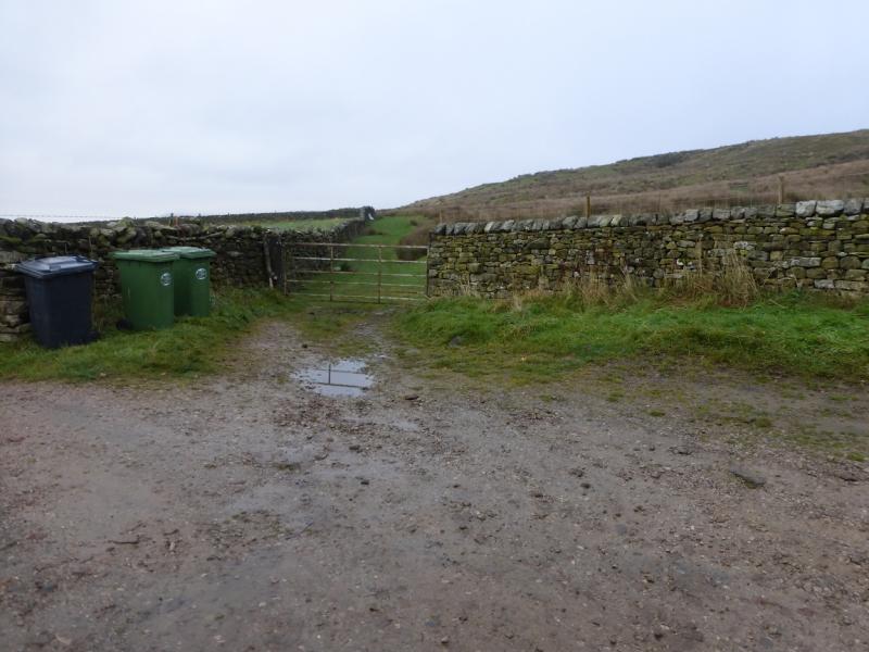
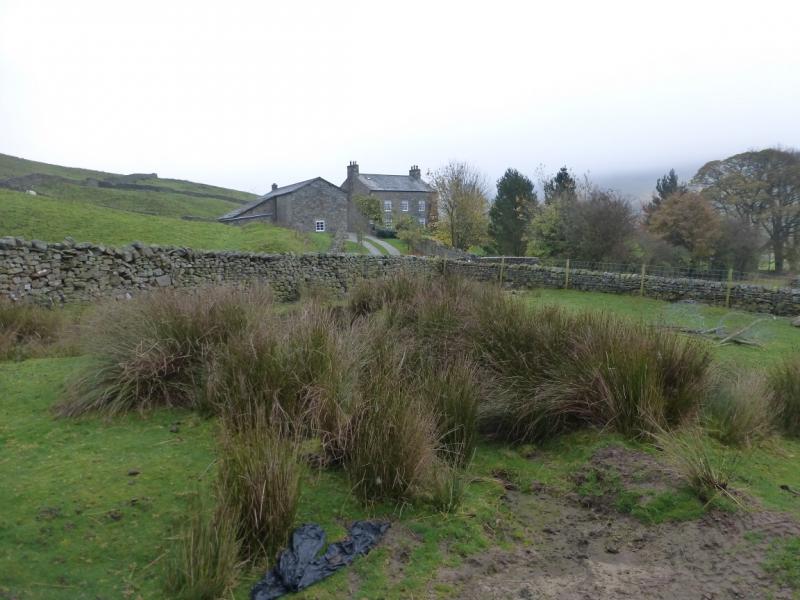
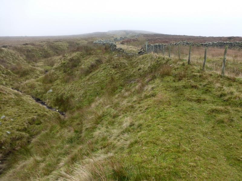
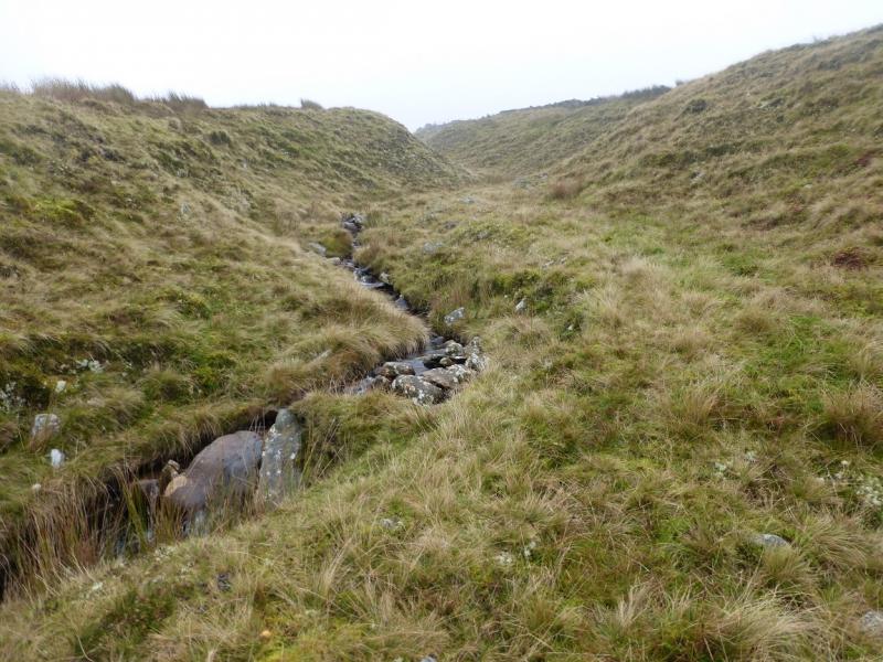
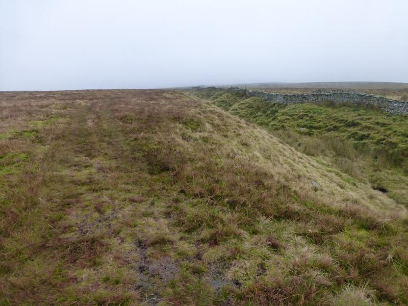
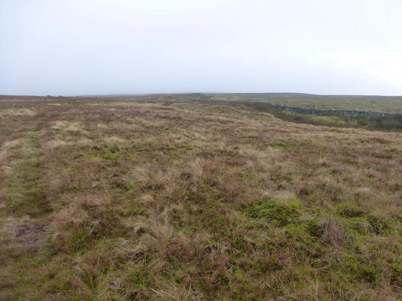
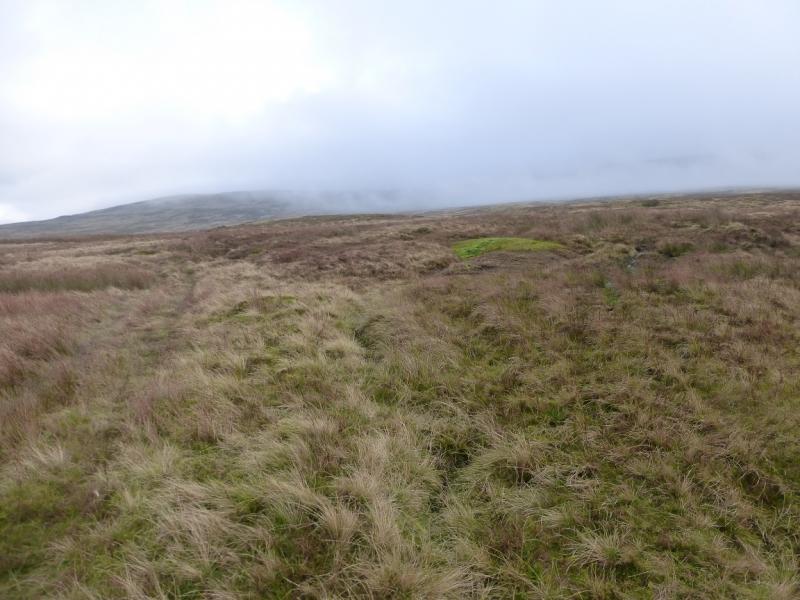
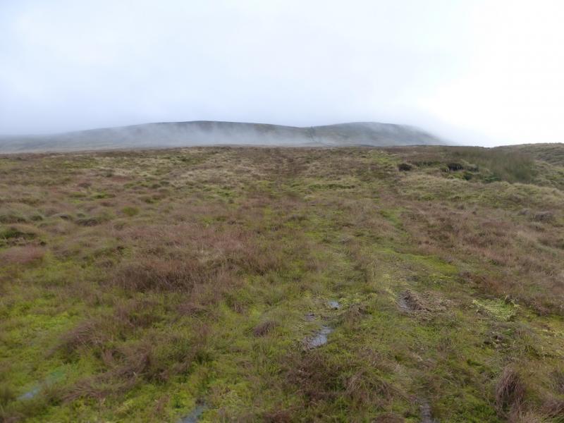
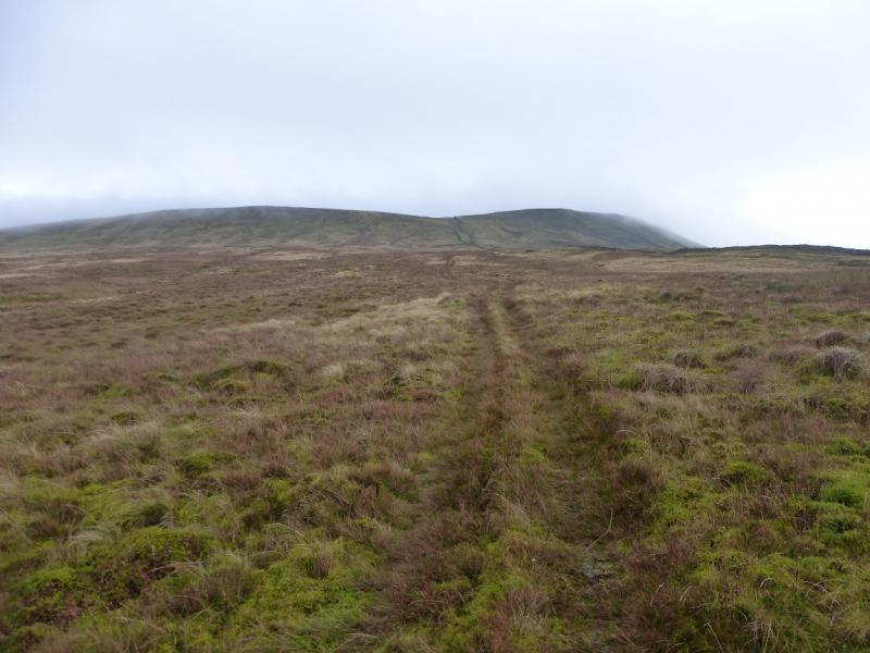
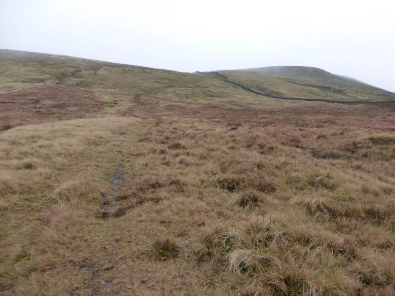
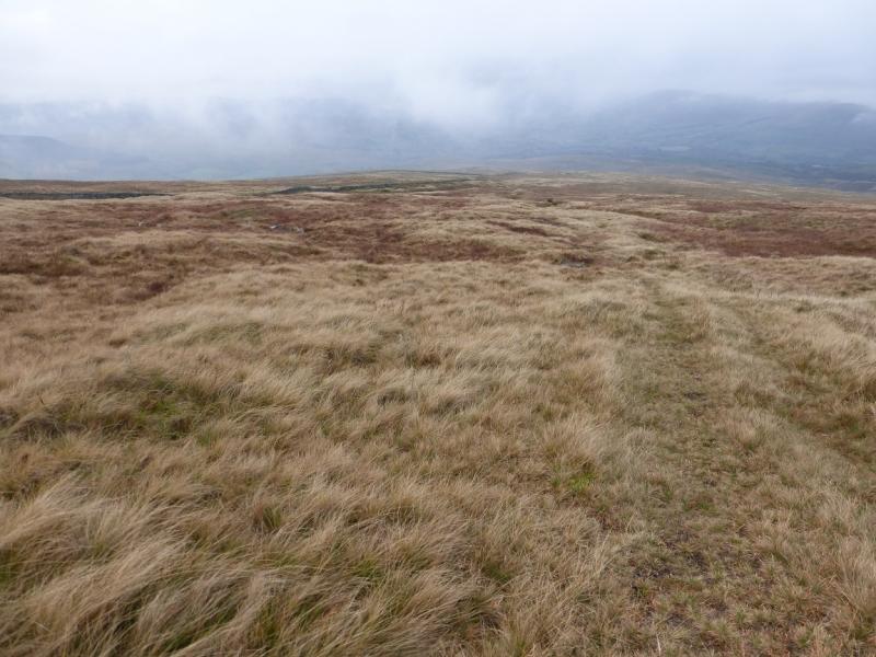
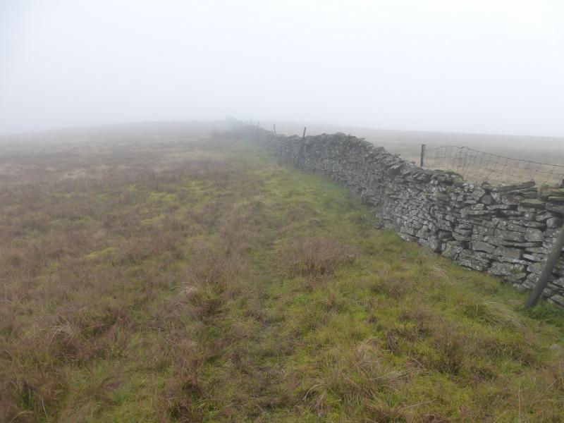
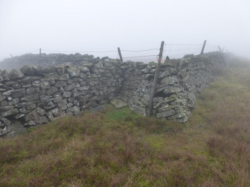
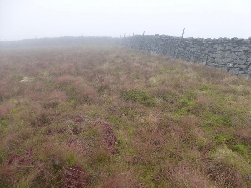
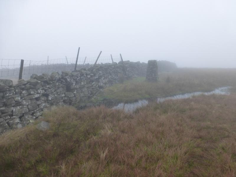
(1) Descend E down the minor road which starts at the car park. Cross the road bridge over the Clough River then continue up the other side taking the turning on the left when the road levels out. Follow this to its end at Garsdale Foot which is a house and farm. Go virtually straight ahead, through a gate where a green track starts climbing ahead. There are often some bins just to the left before the gate. The track soon becomes better defined. Just before it reaches a gate where a wire fence goes NNE, leave this track and follow a less distinct one which shadows the wire fence. Follow the new track, sometimes a path, to the fence corner then follow the path by the side of the fence which is now heading roughly ENE. When the wire fence becomes a wall, at a junction, cross the stream, called Ringing Keld Gutter, and head roughly NE to find a faint grassy track, probably the same one used earlier, which is set back from the stream but shadows it and the wall. Further up, the track drifts left away from the wall but stay with it as it comes back and follows better ground. At one point, the track appears to split – the left gives better going. Higher up the wall goes up a steeper slope whilst the track zig-zags to almost meet the wall when the gradient eases. The track and wall can now be followed for about 1 km to reach the trig point of Knoutberry Haw, 676 m. Note that it is better to follow the track rather than the wall to avoid the worst of the ground.
(2) Continue on the track, still roughly shadowing the wall but it does sweep N quite some way to avoid some very wet ground before coming back twoards the wall. Only about 20 m of height are lost. Note that the wall makes a short detour S then E and that the next objective is at the junction of the third wall (on the S side) with the crest wall after this detour. The going will be very slow because of the ground. At the third wall junction is the highest point but there is nothing on the ground to indicate this is the summit of Baugh Fell: Tarn Rigg Fell, 678 m. There is a short kink in the crest wall at this point. The OS indicate the spot height at just over the wall on the S side and almost in the corner but there is no evidence of a path on that side or a stile over the wall! The Harvey Mountain Map for The Howgill Fells is even worse; they have no dot for the highest point, just a 679 shown on the N side of the wall and written over the 660 m contour!
(3) Retrace back over Knoutberry Haw and down the wall following the track until the wall becomes a fence. Cross the stream and follow the fence and path down to Garsdale Foot and then to the start.
Notes
(a) This walk took place on 4th November, 2015, and about 20 years earlier.
(b) Sedbergh is a good base for the Howgills and Wild Boar Fell. It is a very small town which is somewhat of an enigma being in The Yorkshire Dales National Park but within the county of Cumbria and has a Lancashire post code!
(c) With two cars or a helpful driver, Baugh Fell is ideal for a linear walk which could start in the east and finish down the west ridge.
Photos - Hover over photo for caption. Click on to enlarge. Click on again to reduce.