Get Lost Mountaineering
You are here: England » Peak District » West of Hayfield to Buxton Road
Shining Tor, Cats Tor & Foxlow Edge from Errwood Reservoir
Shining Tor, Cats Tor & Foxlow Edge from Errwood Reservoir
Start/Finish
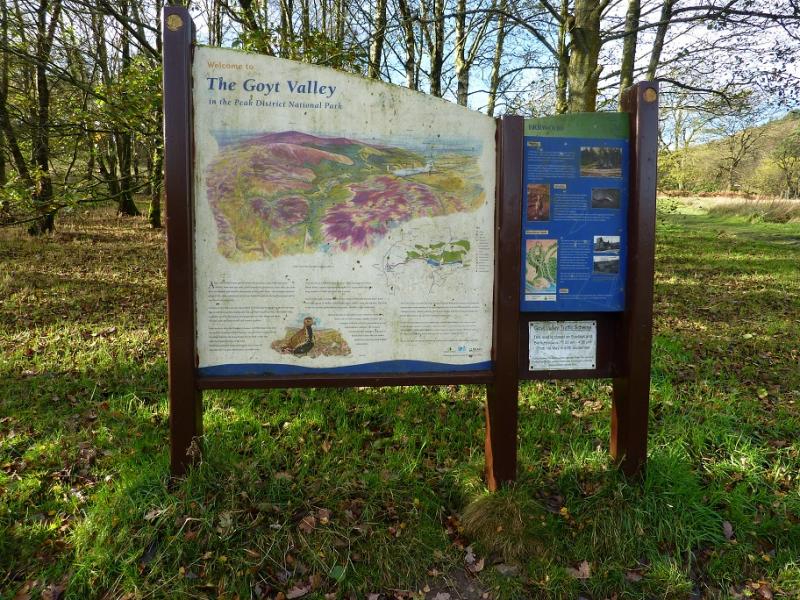
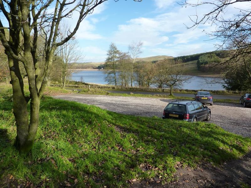
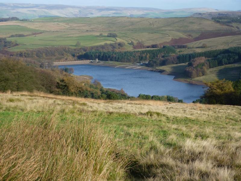
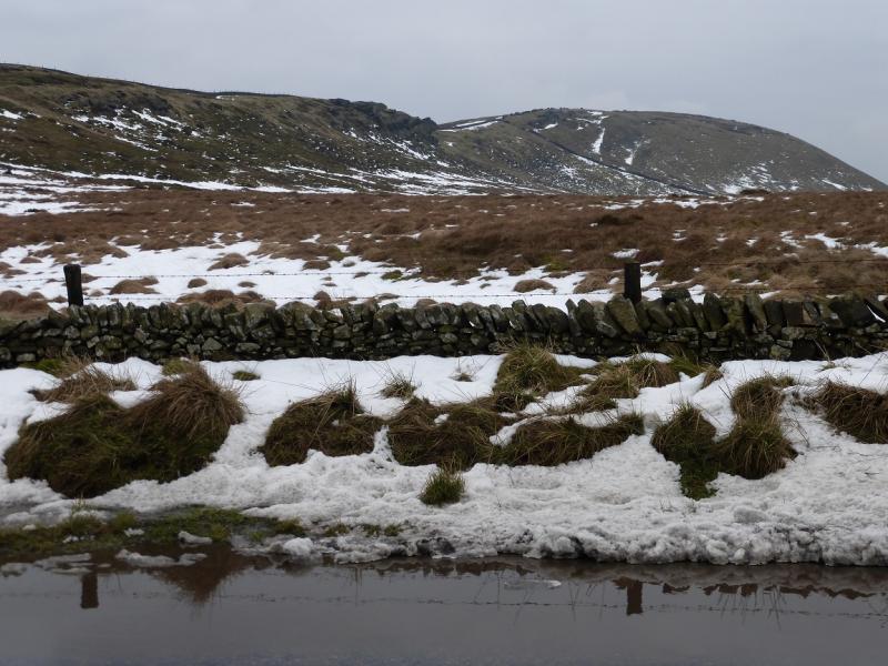
Errwood Hall car park by the side of Errwood Reservoir in the Goyt Valley at SK 011 747. The nearest main road is the A5004 between Whaley Bridge and Buxton. The Goyt Valley is signed off this road about 2 miles from Buxton and about 5 miles from Whaley Bridge. A minor road leads down into the valley. Cross the dam then turn left and reach the car park, just after a major bridge, in about 0.5 miles. Parking was free on 16/11/2015. Note that access to the Goyt Valley is restricted at certain times of the year especially from Derbyshire Bridge to the south so it is best to check road access before setting off.
Distance/Time
10 km About 3 hours
Peaks
Shining Tor, 559 m, SJ 995 737.
Cats Tor, c 530 m, SJ 995 758.
Foxlow Edge, 452 m, SK 004 757. OS Outdoor Leisure 24: White Peak.
Introduction
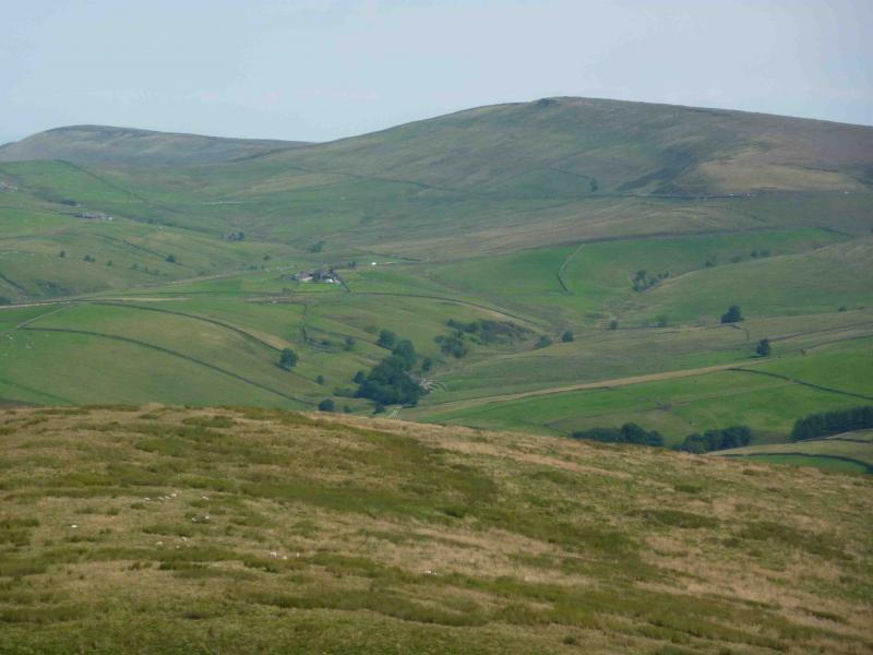
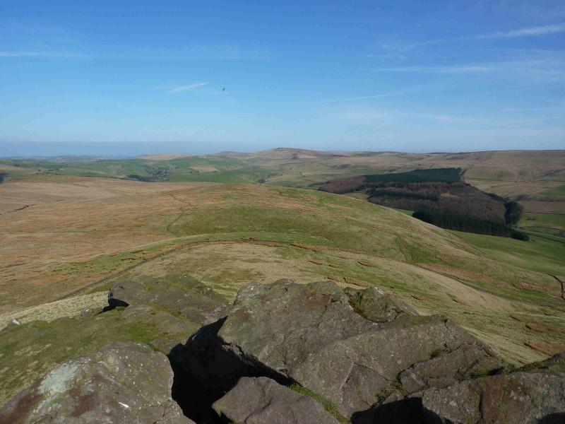
This is an easy and pleasant walk with excellent views on a clear day which include Shutlingsloe (nicknamed the “Cheshire Matterhorn”). On a misty day, navigation is not too taxing as there are good paths to follow. The paths can be boggy so this route can be more attractive when the ground is frozen. Snow is not uncommon in winter in these parts. This is one of several similar routes taking in Cats Tor and Shining Tor but this is the only route to start from the Goyt Valley.
Route
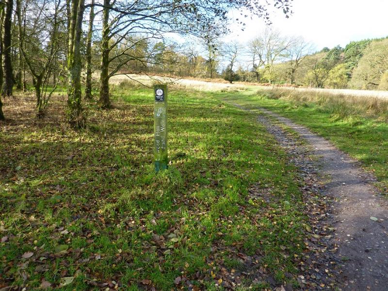
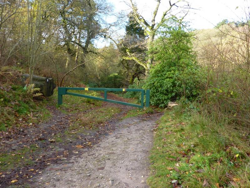
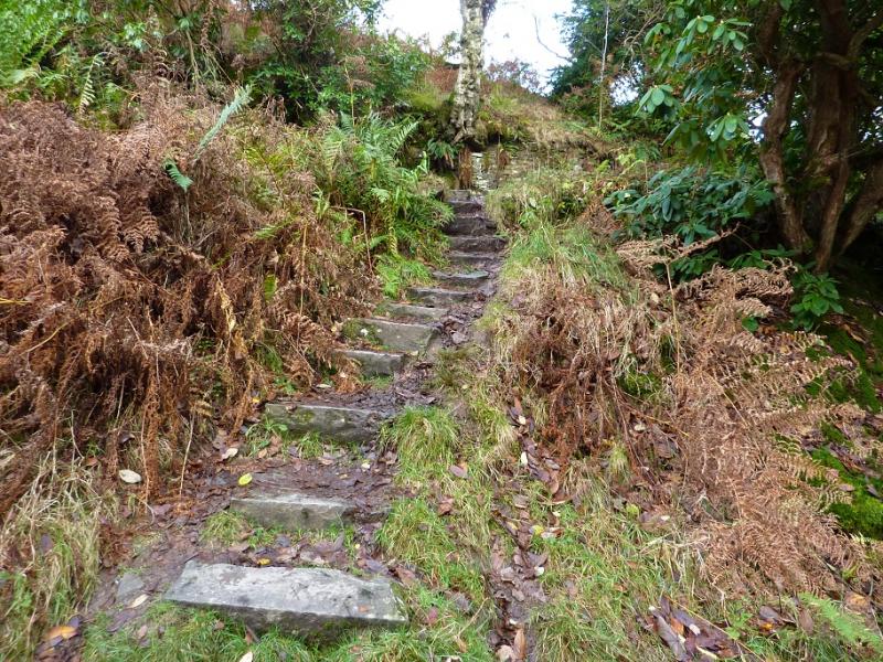
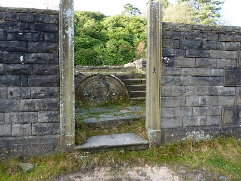
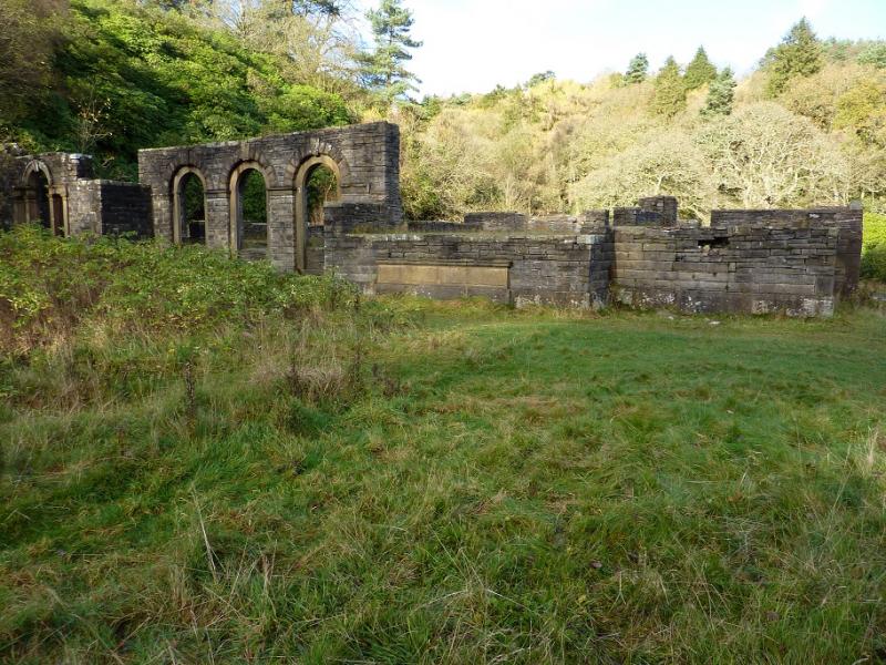
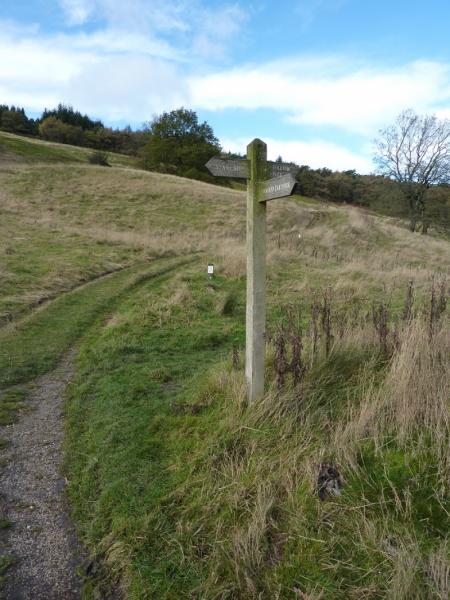
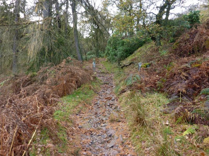
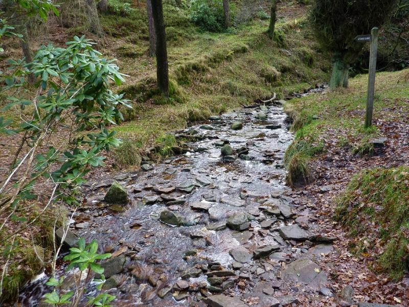
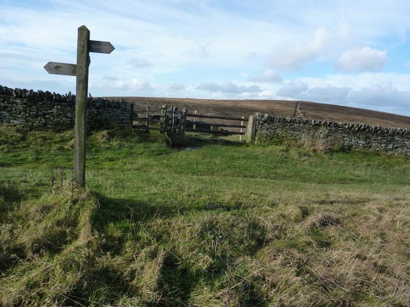
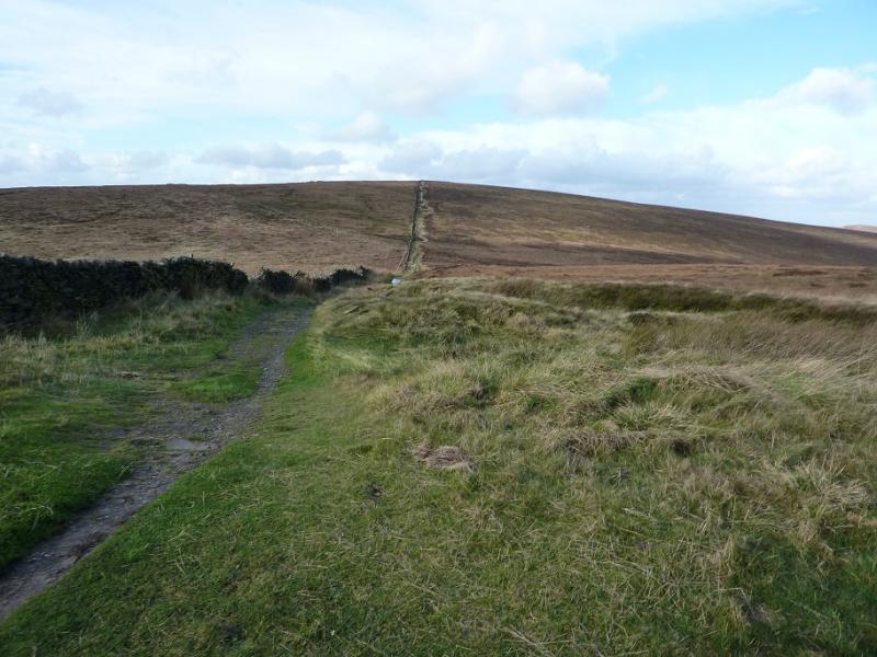
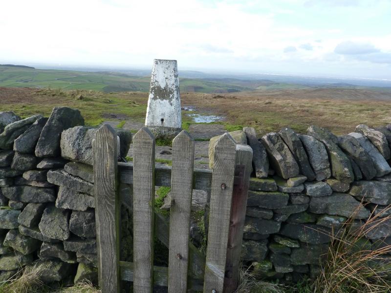
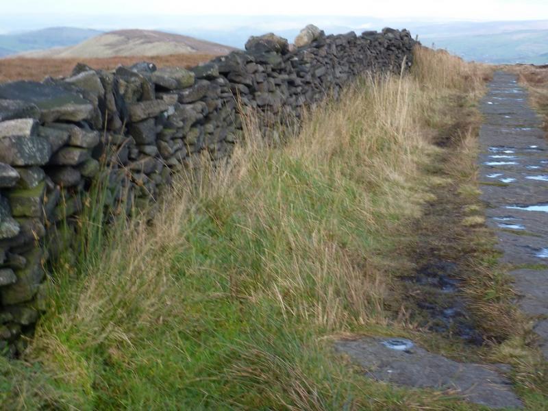
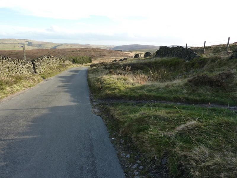
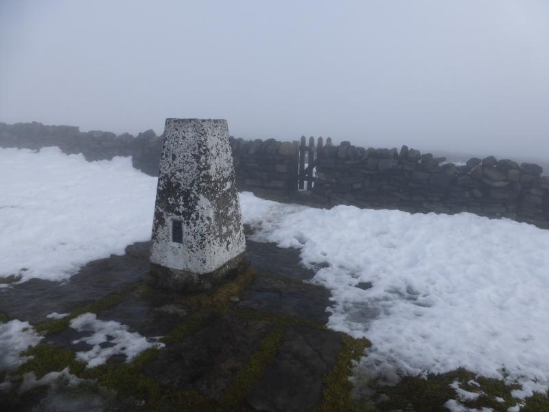
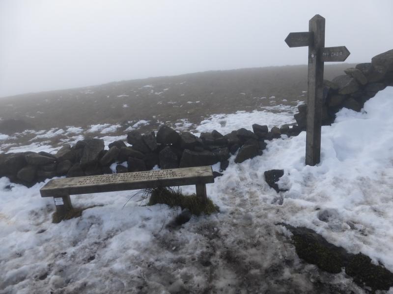
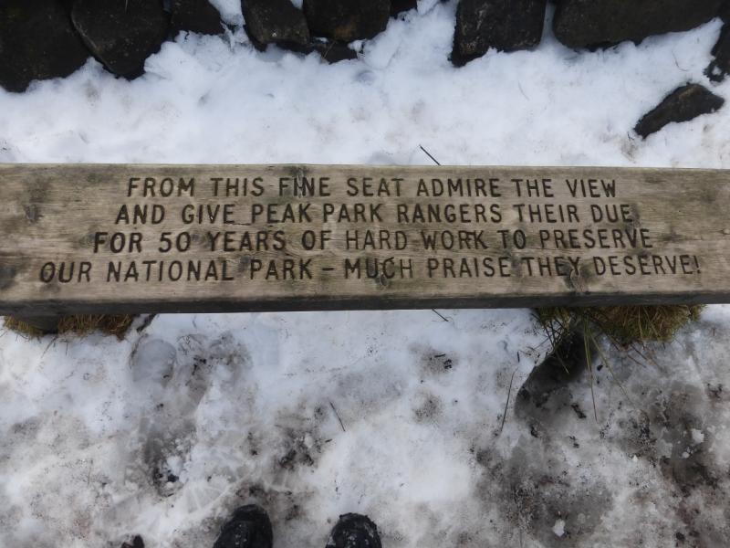
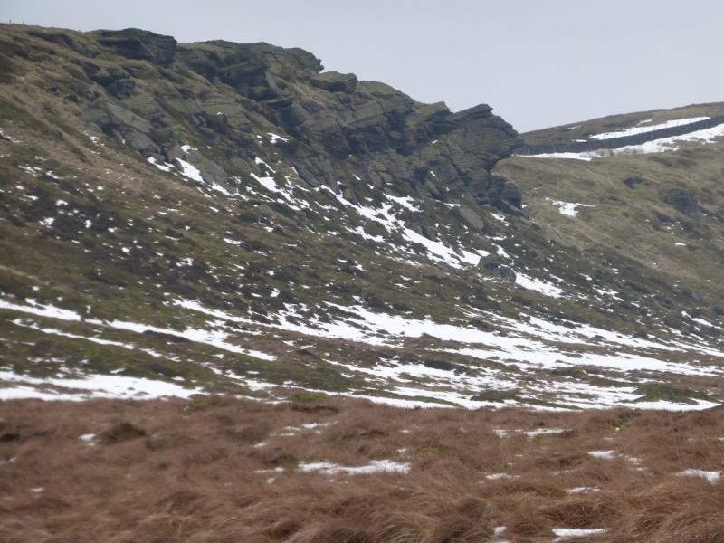
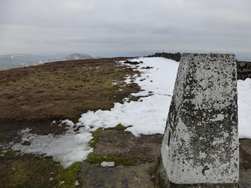
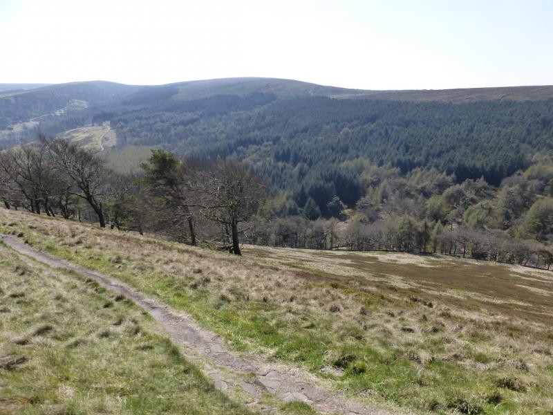
(1) Walk to the obvious notice board at the back of the car park then follow the signed path which soon joins a track at a barrier. Continue up until some stone steps are reached, on the right, just before a sign post. Go up the steps then turn right and soon reach the ruins of Errwood Hall. Retrace to the sign post and continue up to reach another sign post at a crossroads of paths. Turn left, signed for Stakeside. The path leads through the bottom of Shooter's Clough. The stream is crossed by stepping stones and is not usually a problem even in a wet spell. Continue on the path which zig-zags up to a gate in the wall on Stakeside ridge. Follow the ridge up for about 1 km to another sign post then turn right, through a kissing gate, on to the path which descends into a shallow hollow before ascending up to the trig point, sign post and bench which mark the summit of Shining Tor, 559 m. Shutlingsloe is the pointed peak slightly W of due S.
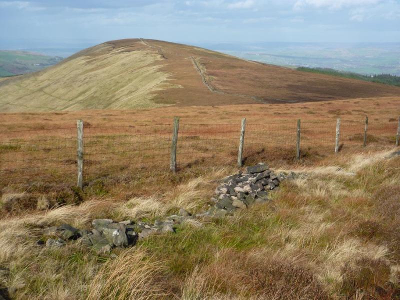
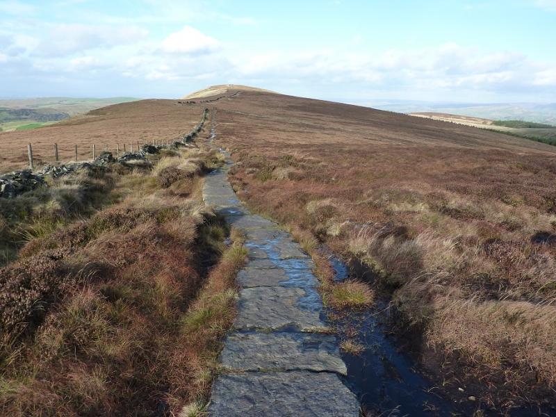
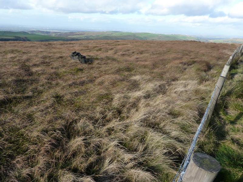
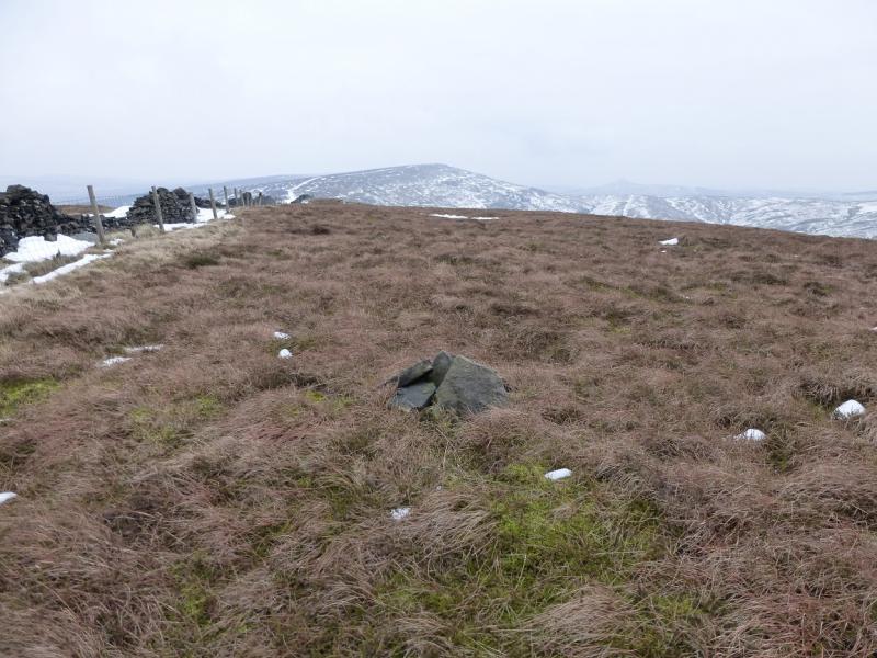
(2) Follow the slabbed path N which descends gently before ascending to the highest point on Cats Tor. A small cairn, over the fence on the left, marks the summit of Cats Tor, c 530 m. In mist the cairn could easily be missed. The slabs end near the highest point.
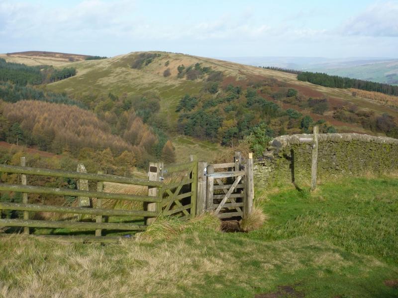
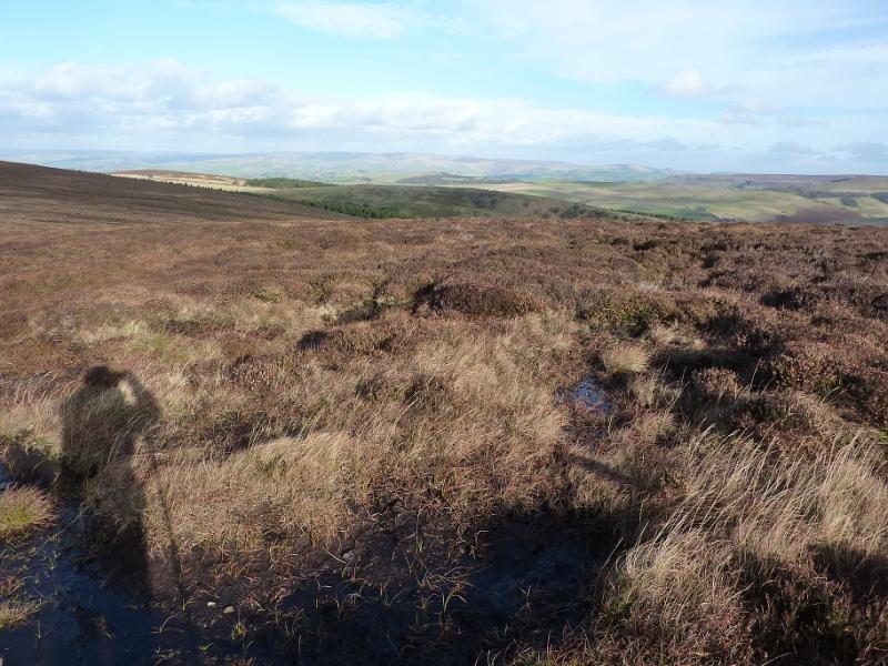
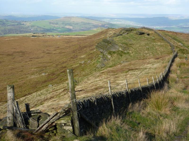
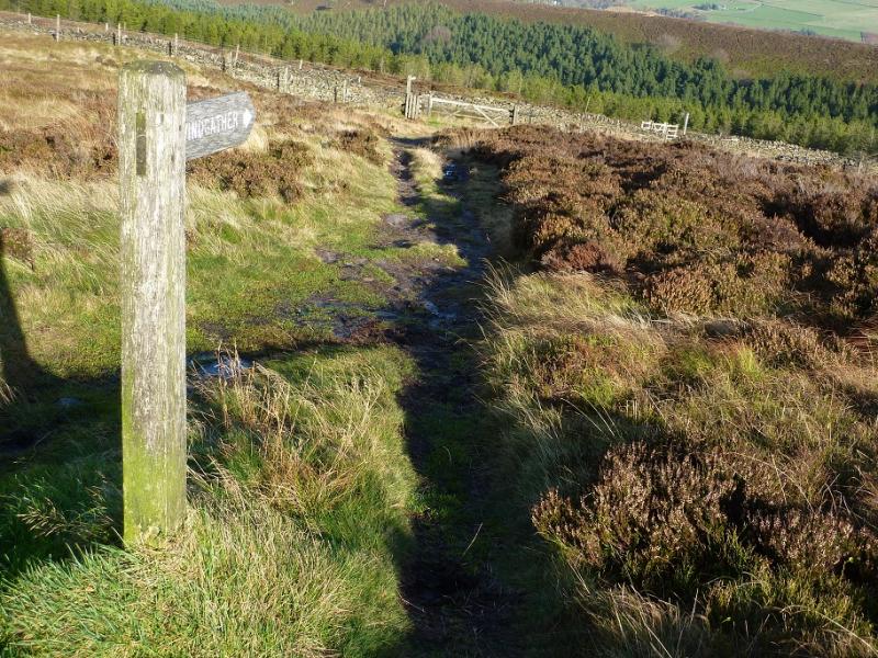
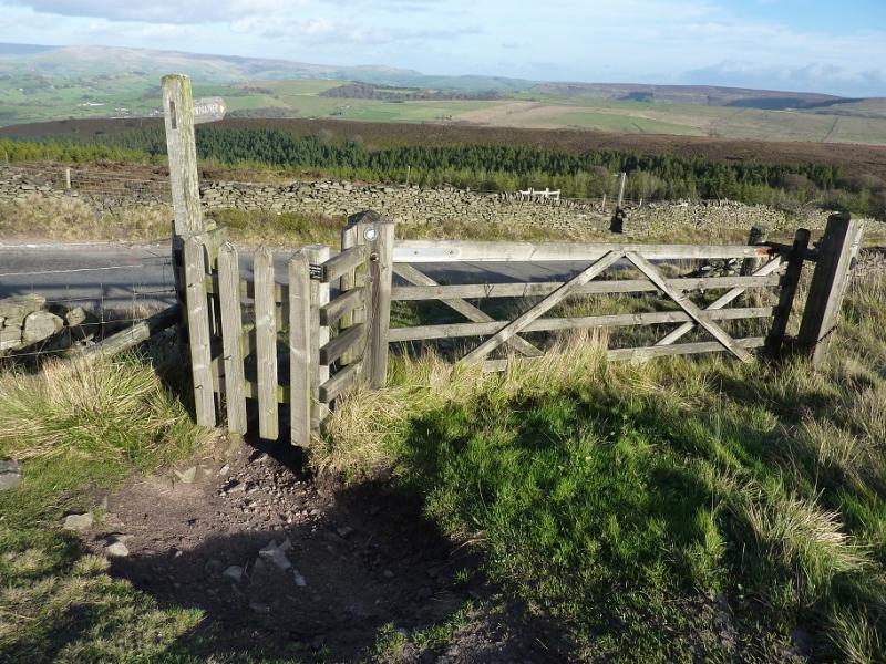
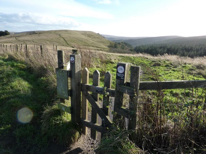
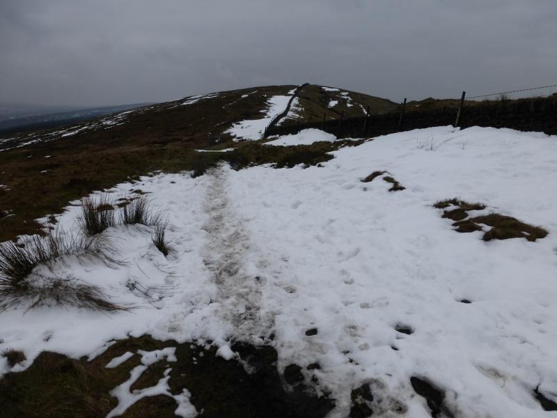
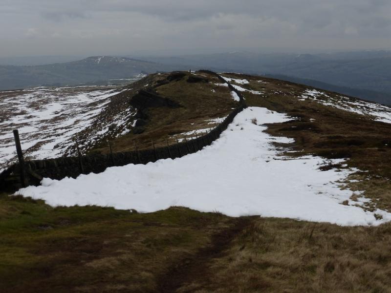
(3) Continue on the path descending towards the road. Note the outcrop on the left of the crest which used to contain the rock known as Pym Chair. Before the crest reaches the road, a path forks off right to join the path slightly lower down. Cross the road and join the path on the verge. Follow this down (it can be boggy in places but the road is always available) for about 1 km to reach a narrow wooden gate at the back of a rough lay by. Go through the gate and follow the path which soon splits. Take the left fork which ascends easily up on to Foxlow Edge. There is no cairn but an old wall seems to be the highest point on Foxlow Edge, 452 m.
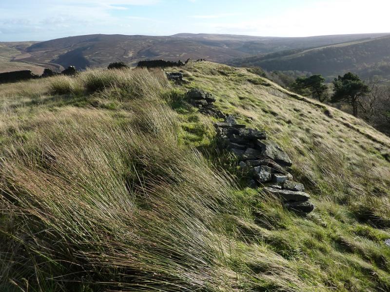
(4) Continue along the crest, soon crossing the wall easily on an obvious path. Continue down. Lower down the path joins a track which leads down to the bridge just to the N of the car park.
Notes
(a) This walk took place on 16th November, 2015.
Photos - Hover over photo for caption. Click on to enlarge. Click on again to reduce.