Get Lost Mountaineering
You are here: England » Peak District » Baslow to Ladybower including Gardom's, Birchen, Froggat, Curbar, Burbage, Higgar Tor & Stanage
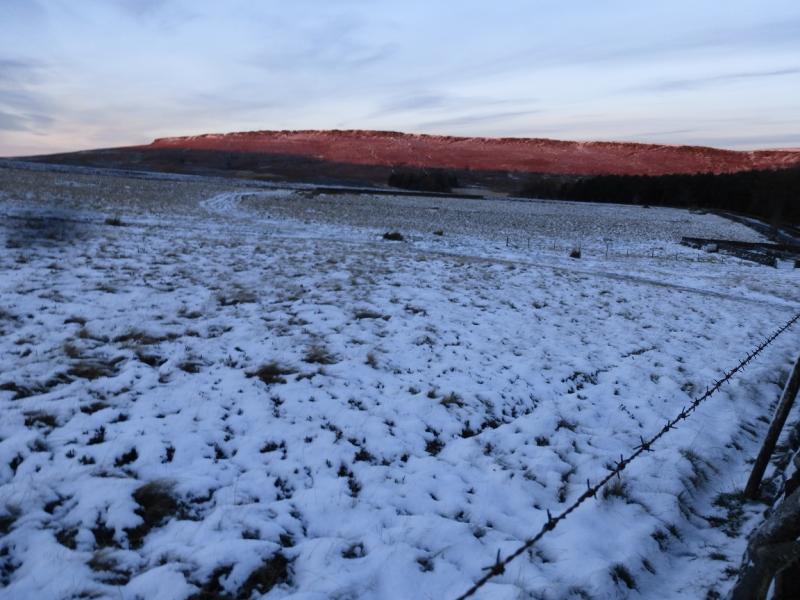
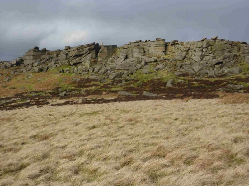
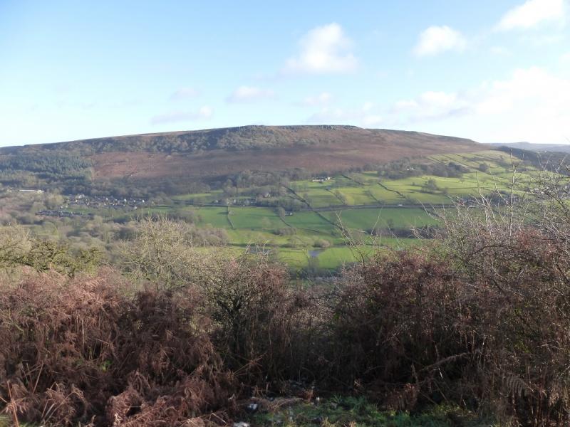
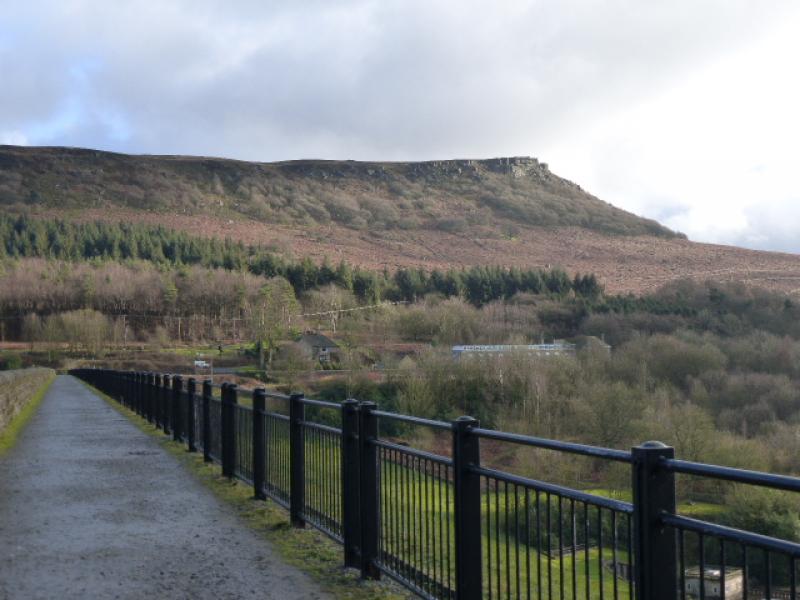
Bamford Edge & Stanage Edge from New Road above Bamford
Bamford Edge & Stanage Edge from New Road above Bamford
Start/Finish
The first crest on New Road which forks left off the A6013 when driving from Ladybower to Bamford. The fork is a little south of the Yorkshire Bridge Inn. There is a telephone box just south of the inn near to the turning. Parking is very limited and there are no car parks nearby. However, one could continue along New Road, go around Bole Hill and park at the Pay and Display car park at Dennis Knoll then walk back to the start. This section of road would be walked anyway at the end of the route. There are a few small parking opportunities between the start and Dennis Knoll which could be used. Note that these minor roads are not gritted in winter and can be very tricky or even impassable under winter conditions. In such situations, it might be best to park on the main road opposite the start of New Road. This option would add about 3 km to the day's walking.
Distance/Time
14 km About 4 – 5 hours
Peaks
There are no real summits on this walk as it is mainly and edge walk but the grid references of the two trig points on Stanage Edge are
High Neb, 458 m, SK 228 853.
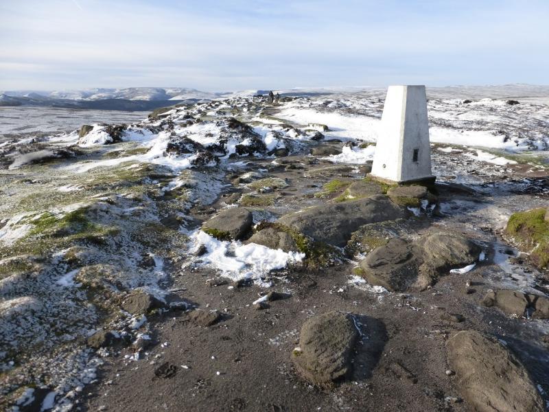
Stanage SE End (near Cowper Stone), 457 m, SK 251 830.
OS Outdoor Leisure 1: Dark Peak. OS 1:50 000 Sheet 110
Introduction
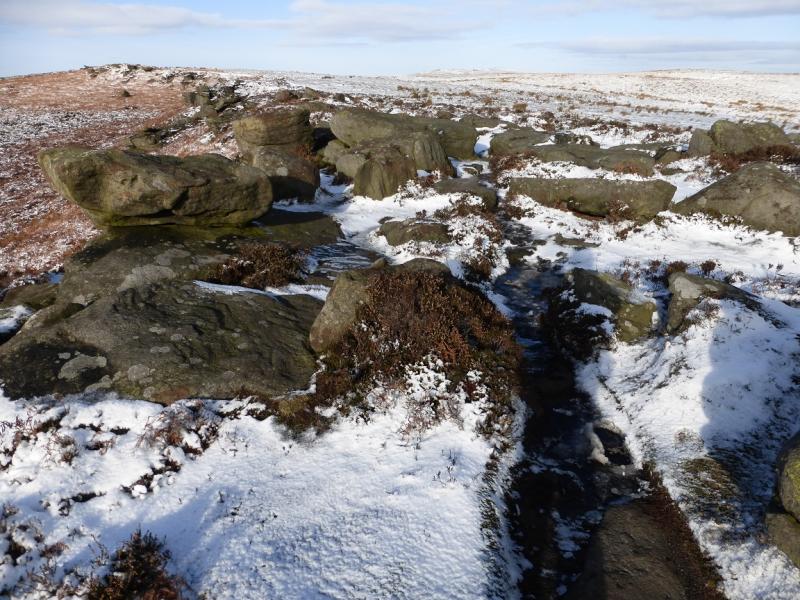
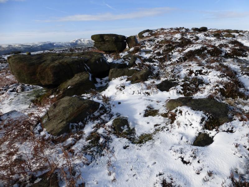
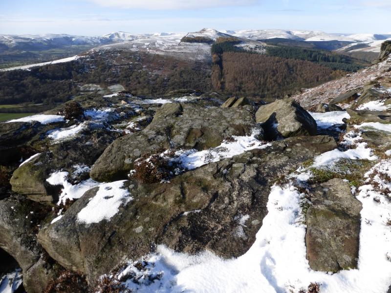
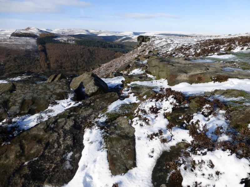
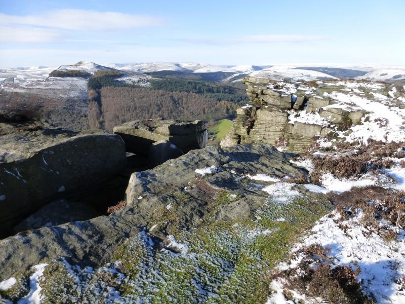
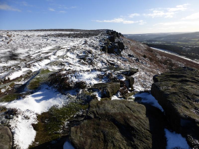
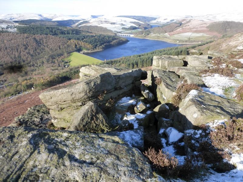
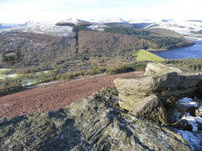
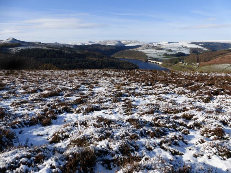
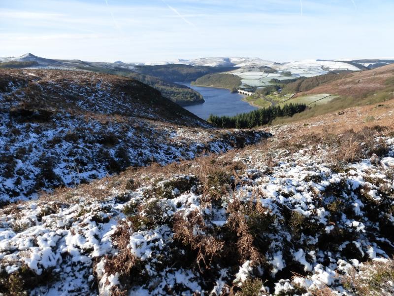
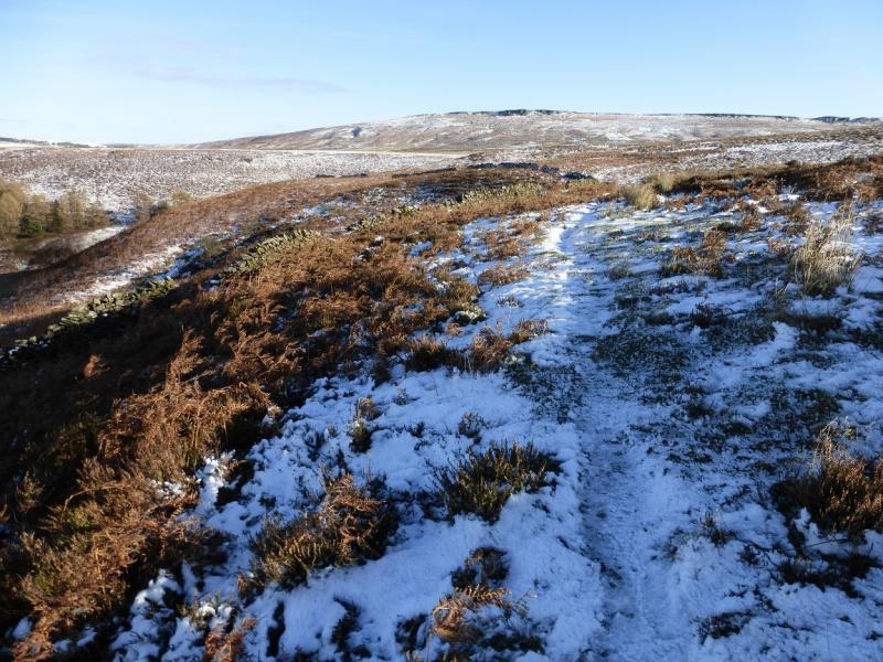
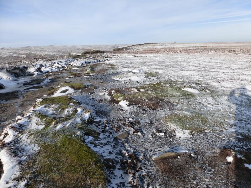
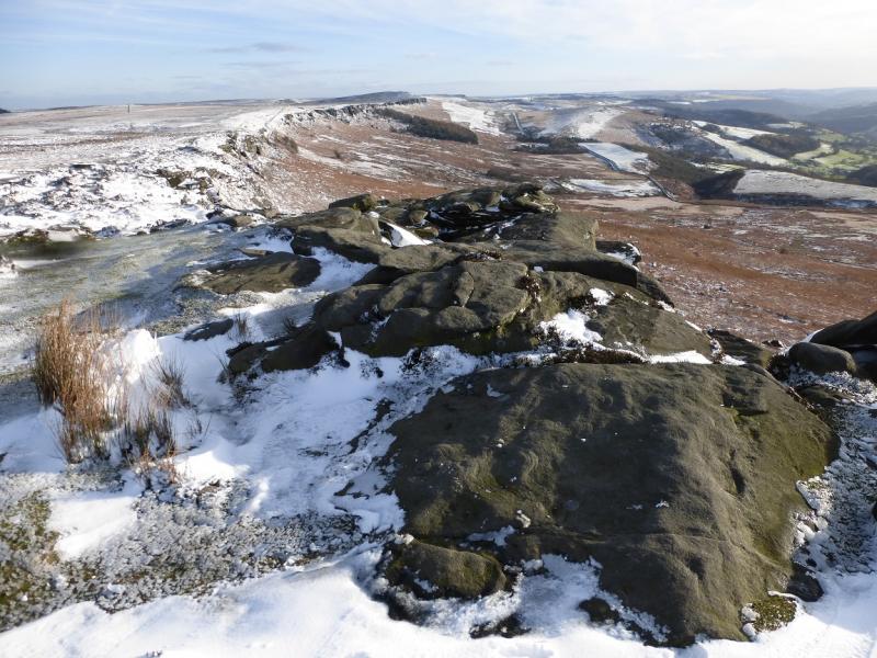
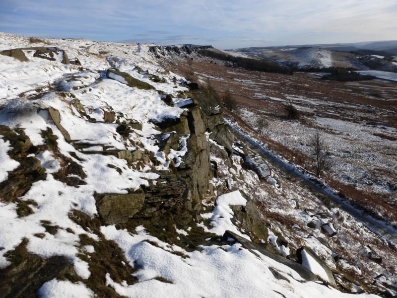
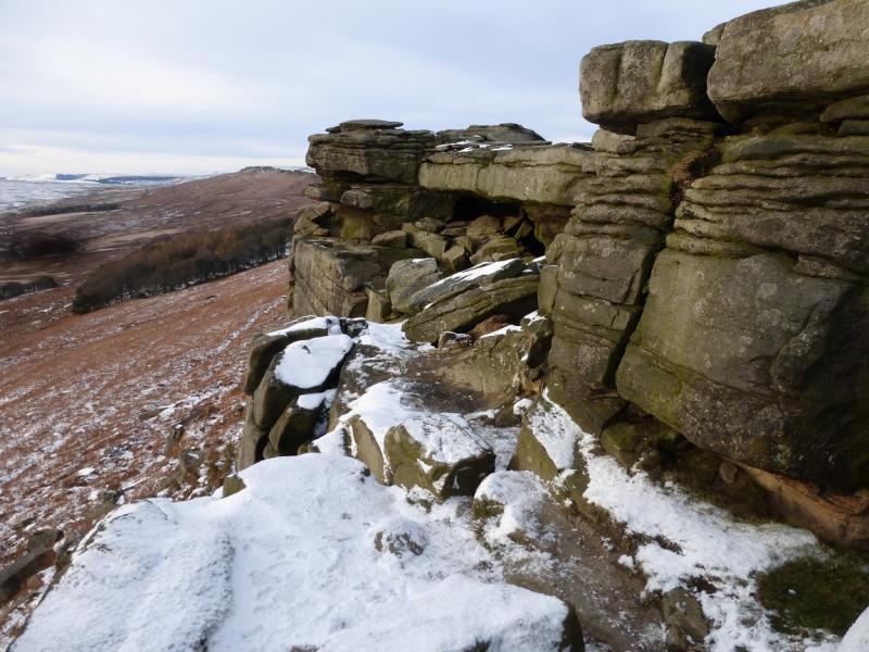
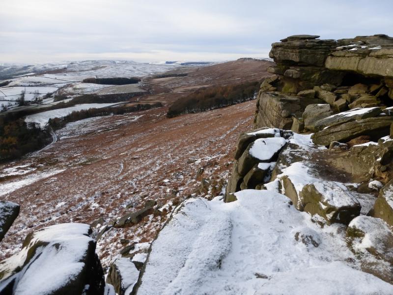
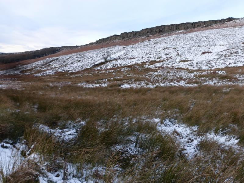
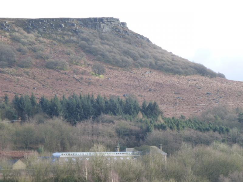
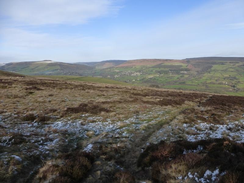
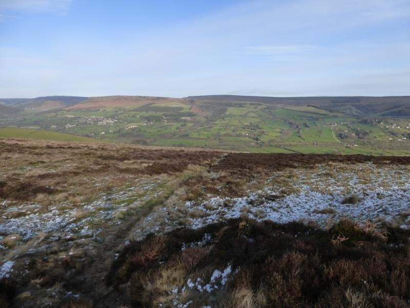
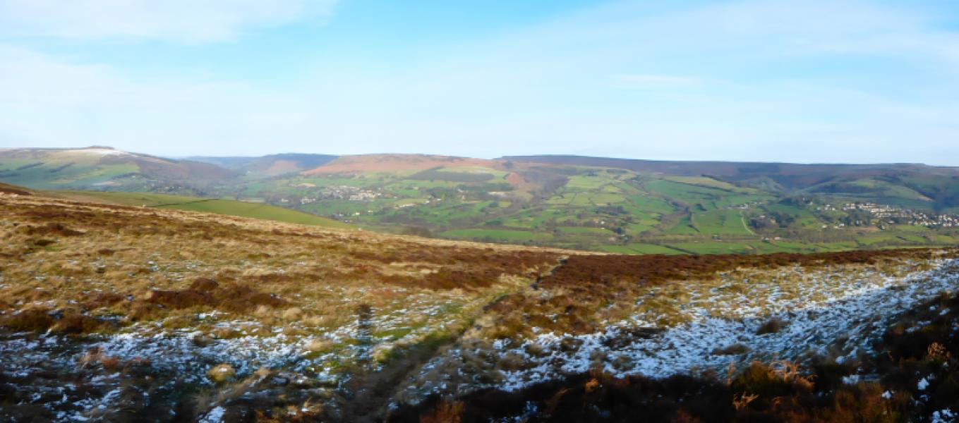
This is a very pleasant walk with very good views in all directions. Bamford Edge is not as popular as Stanage Edge but offers much better views to Win Hill and Ladybower Reservoir with Mam, Kinder and Bleaklow further back. It is best saved for a clear day, ideally in winter when snow is on the ground but not on the road. There are paths on Bamford Edge but none are shown on the map! The return is mainly along the minor road below Stanage Edge which gives good views of the edge from below.
Route
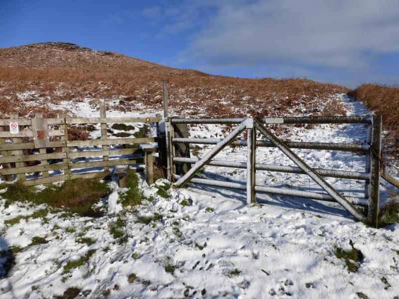
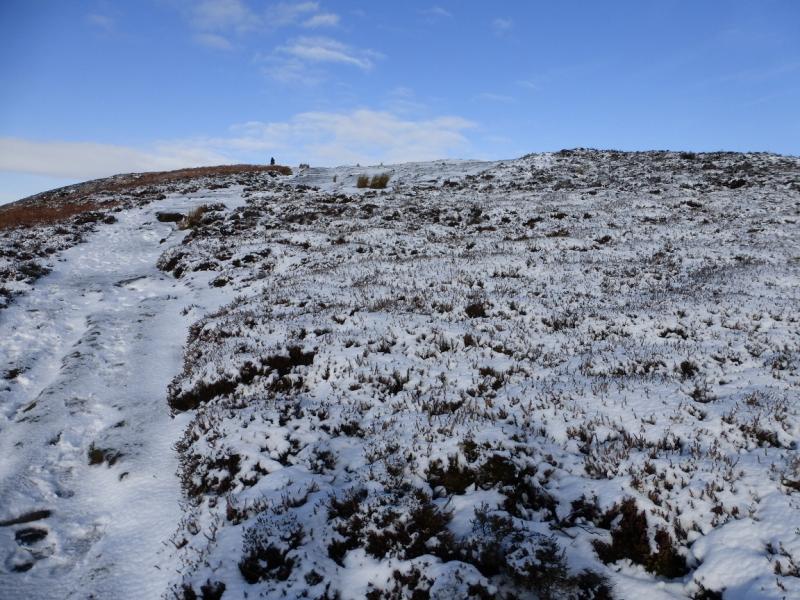
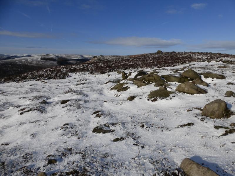
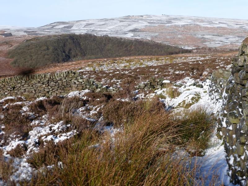
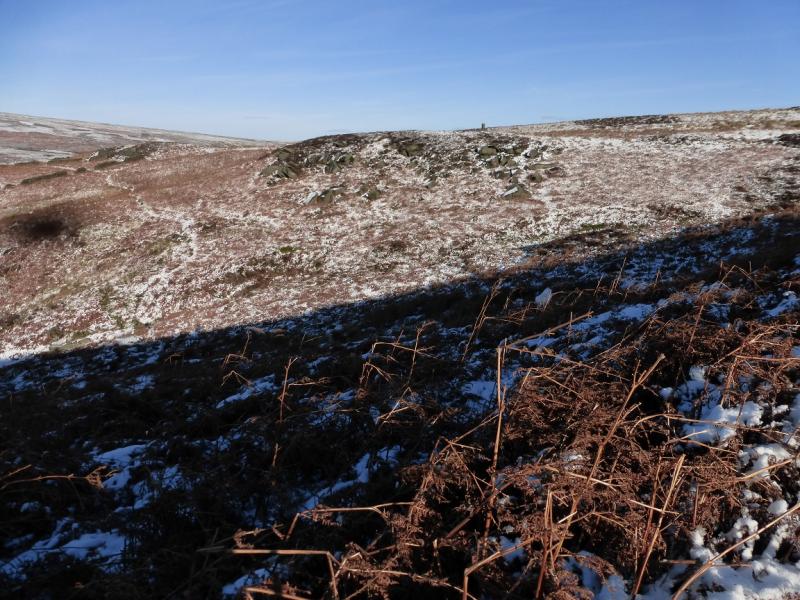
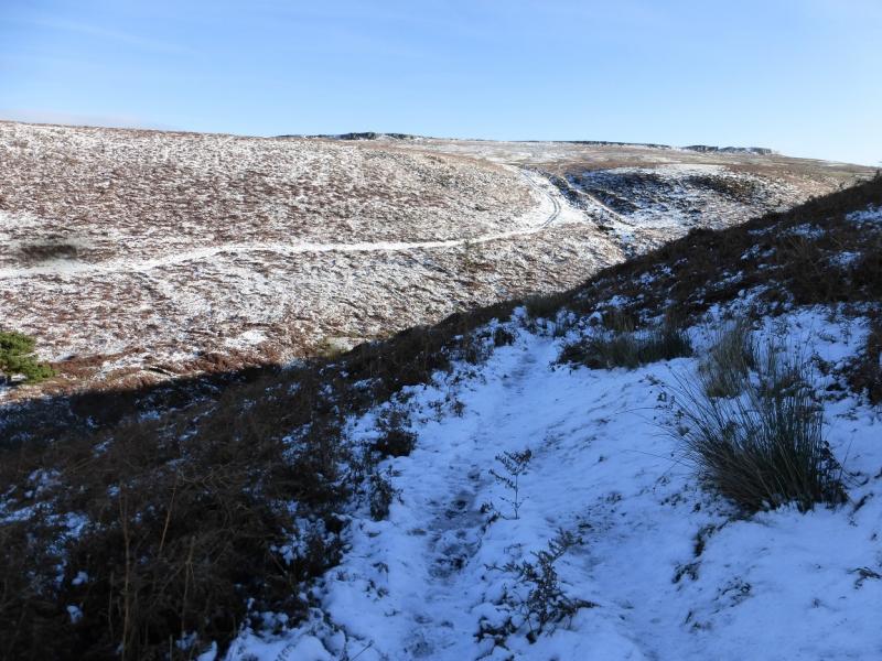
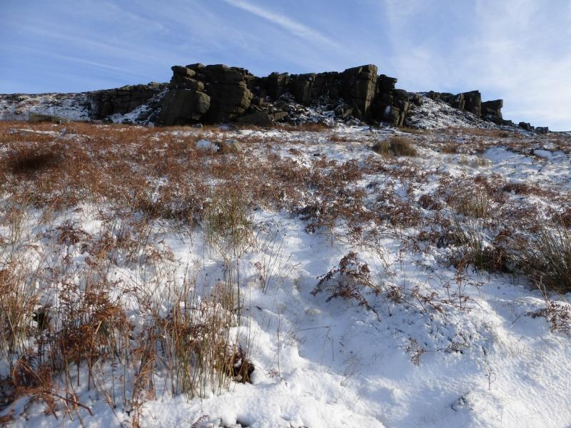
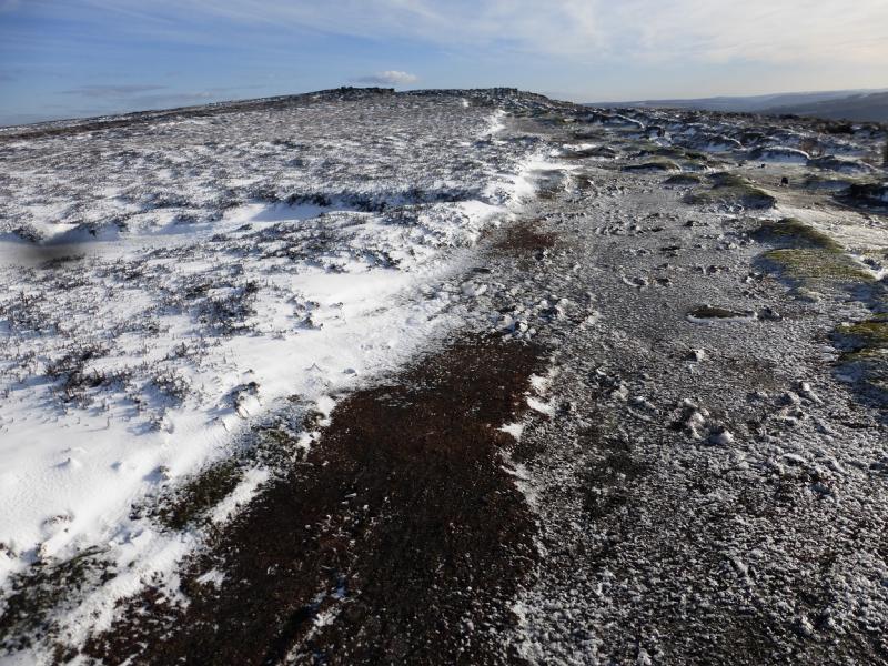
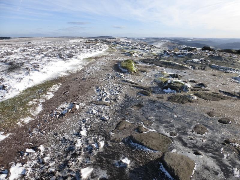
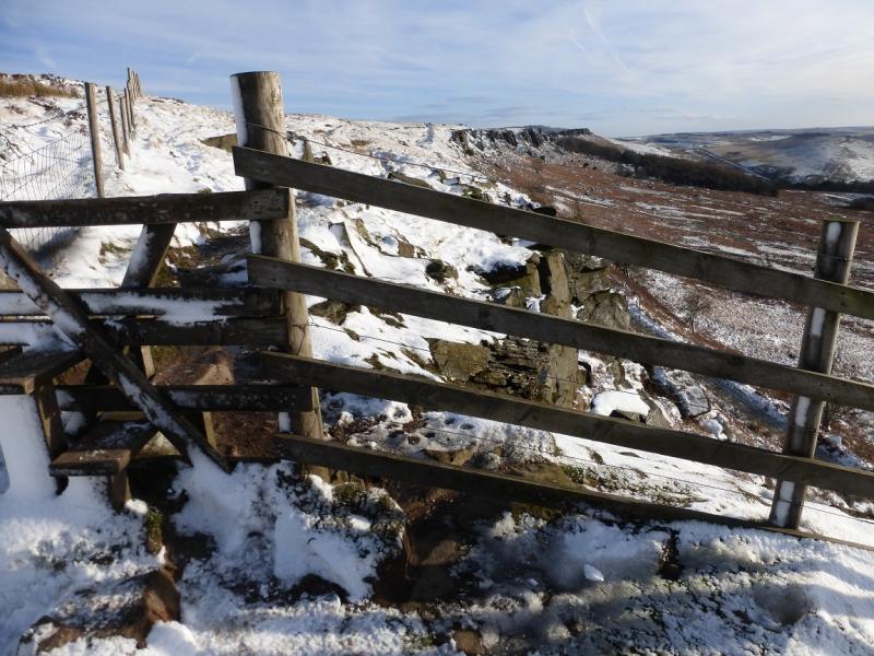
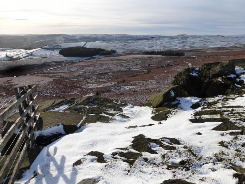
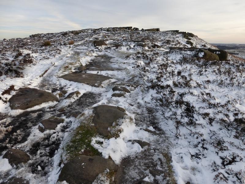
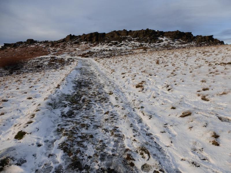
(1) From the the first crest of New Road, go through the gate on the left, N side, and follow the path up on to the edge and continue N. Just past the highest point (no cairn) there is a superb view of Ladybower Reservoir. Stay on the path which continues even after the rocky edge ends and crosses a wall at a corner. Continue on the path which crosses a minor gully after which there are some pillars. Continue on the same path which soon follows a wall to the upper part of Jarvis Clough then crosses over to join the track on the other side. Follow the track up to a T junction. Go right then follow the track towards Stanage Edge above. It does not go all the way so look for a path slanting towards the N end of the rocky edge and pick a way up on to the edge just to the N of the last rocky section. Do not be tempted to walk in a straight line from Jarvis Clough as the ground is very wet and rough with ferns in summer. Walk along the edge heading S then SE and soon reach the trig point at High Neb, 458 m.
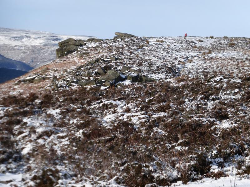
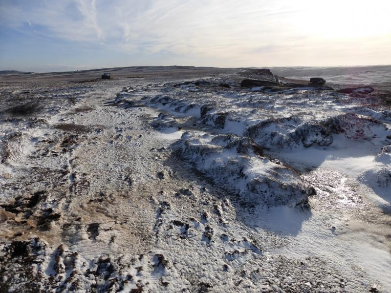
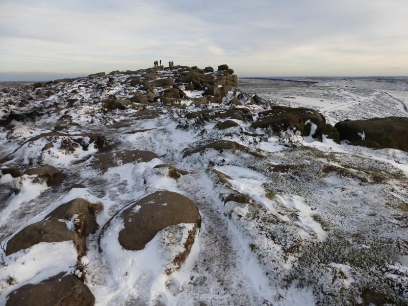
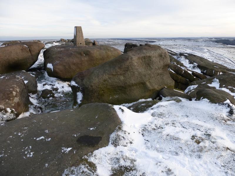
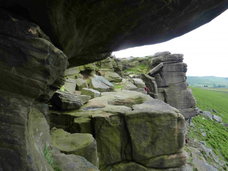
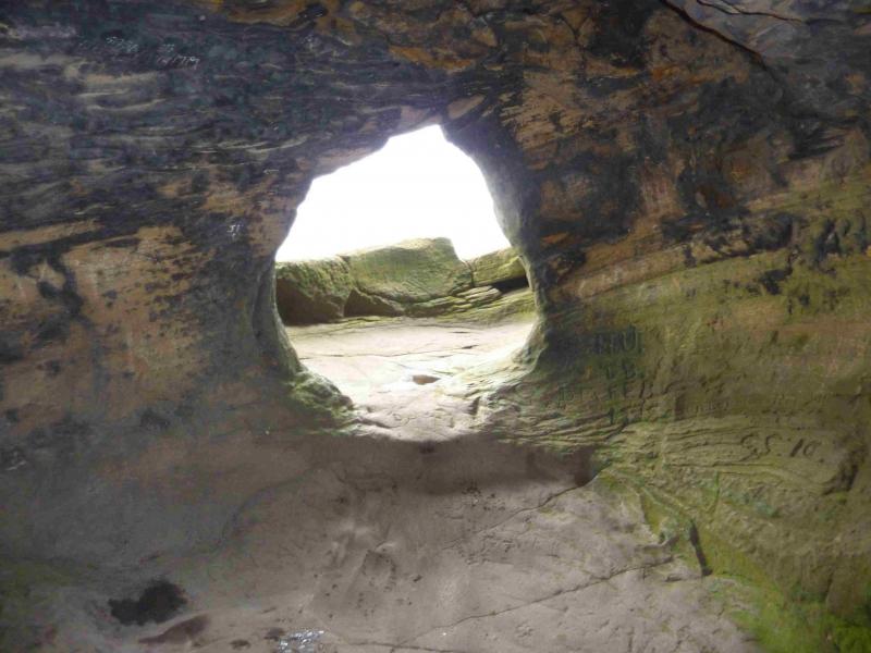
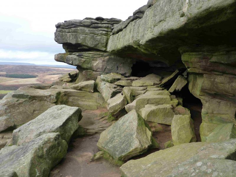
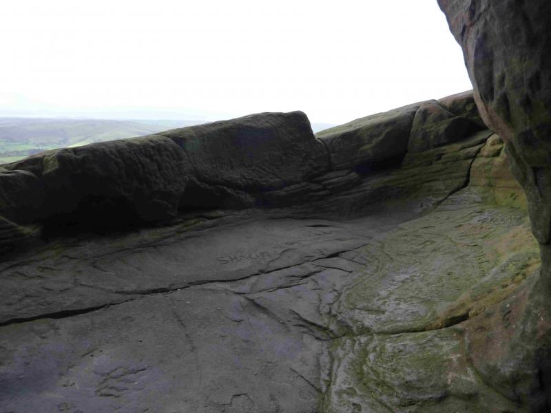
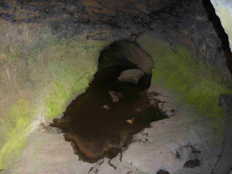
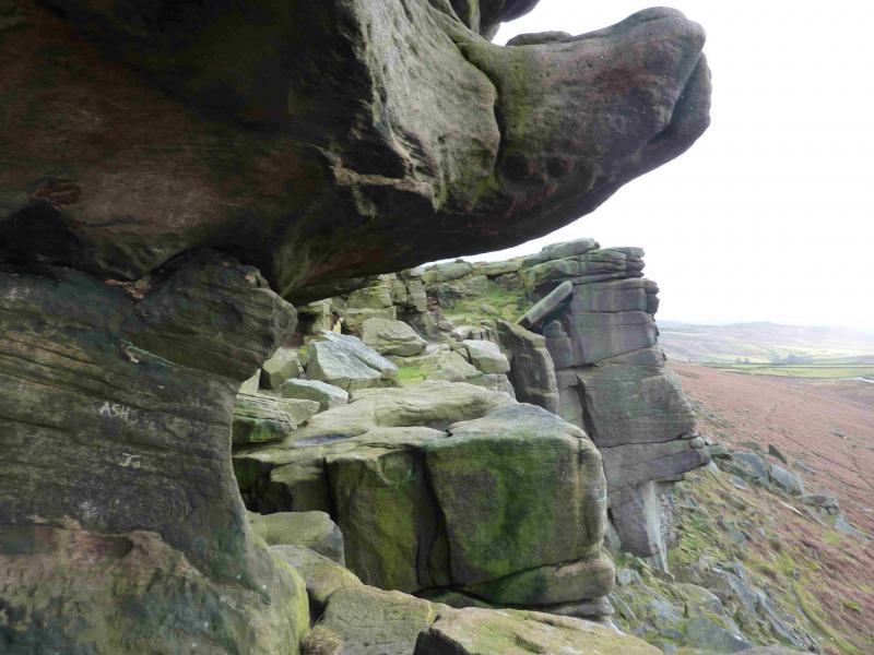
(2) Continue along the edge, crossing a track after about 1 km. This goes to Stanage Pole which is not on this route so stay with the edge path which is heading SE. When the shallow dip is reached before the final ascent to the SE trip point, keep to the path closest to the edge and start looking for a path in a groove which is a reverse right fork. This descends slightly then traverse for about 40 m to reach Robin Hood's Cave which is best reached by clambering over easy rocks into the back of the cave. The main hazard is the low “ceiling”! Rucksacs are best left outside the cave. Once in the cave, walk to the front which is known as Robin Hood's Balcony for obvious reasons! There is a sheer drop over the balcony. Retrace to the edge path and continue up the trig point which is the highest point on Stanage SE End, 457 m.
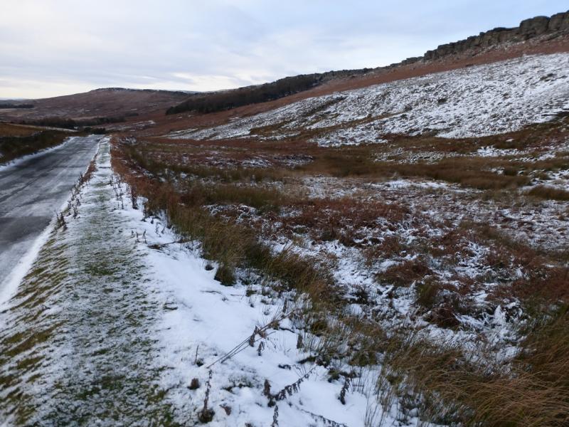
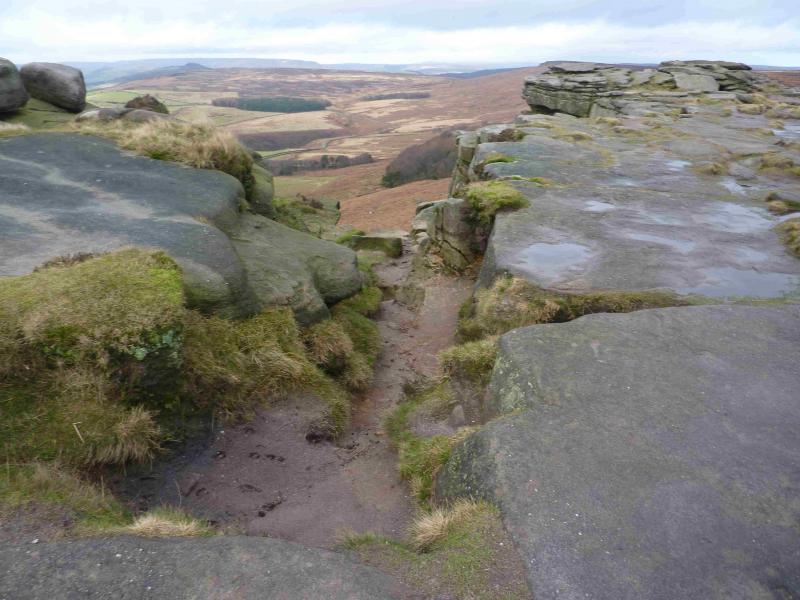
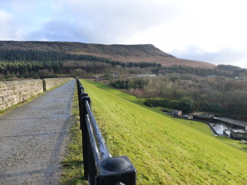
(3) Continue along the edge keeping to the right until a path can be seen dropping off. Follow it under the short cliffs to reach a main track. From here either pick a way down to the road or traverse under the edge, on faint paths, then descend to the road near the junction, W of Overstones Farm, where many cars are often parked. Follow the road NW, taking the right fork at the next junction, past a toilet block and car park then on to the car park at Dennis Knoll which is on a corner. Follow the road left, S, take the right fork at the next junction then continue around Bole Hill back to the start.
Notes
(a) This walk took place on 21st November, 2015.
Photos - Hover over photo for caption. Click on to enlarge. Click on again to reduce.