Get Lost Mountaineering
You are here: England » Lake District » 3 Central Fells
Loughrigg Fell via Loughrigg Terrace from White Moss Car Park
Loughrigg Fell via Loughrigg Terrace from White Moss Car Park
Start/Finish
White Moss Car Park which is just to the west of Rydal Water on the way to Grasmere. It is well signed on the A591 road from Ambleside to Keswick. On 27/11/2015, it was £7 per day. The main car park is on the river side of the road with a smaller on on the opposite side. Out of season, there is a minor road from near the Grasmere end of the smaller car park. There are some small lay bys up this road.
Distance/Time
8 km About 3 - 4 hours
Peaks
Loughrigg Fell, 335 m, NY 347 051. OS 1: 50 000 , Sheet 90.
OS 1: 25 000 Outdoor Leisure 5, English Lake District NE Area.
Introduction
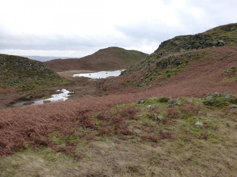
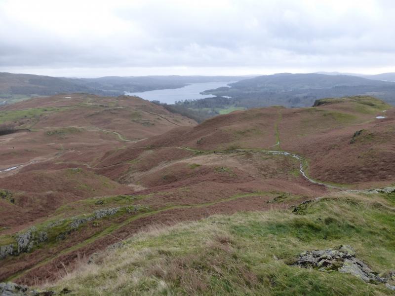
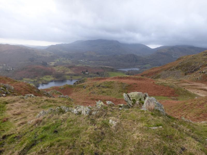
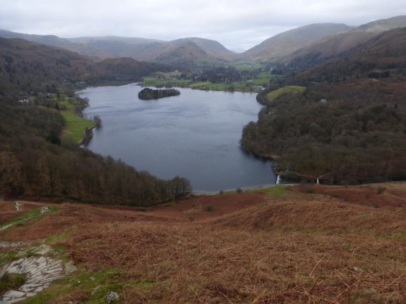
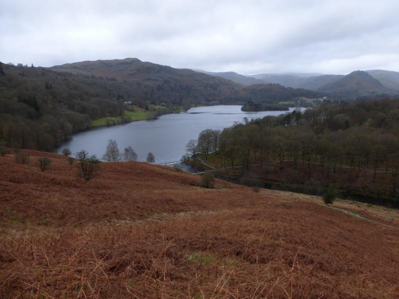
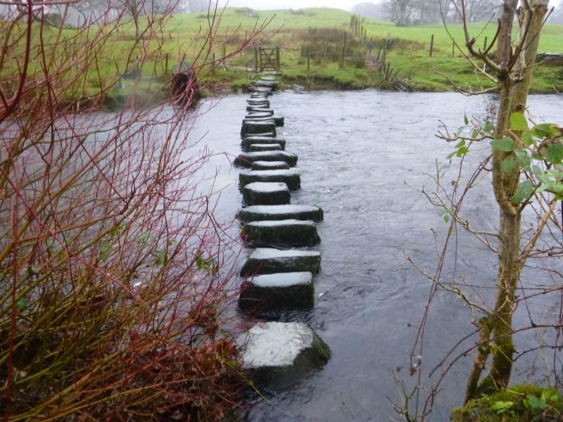
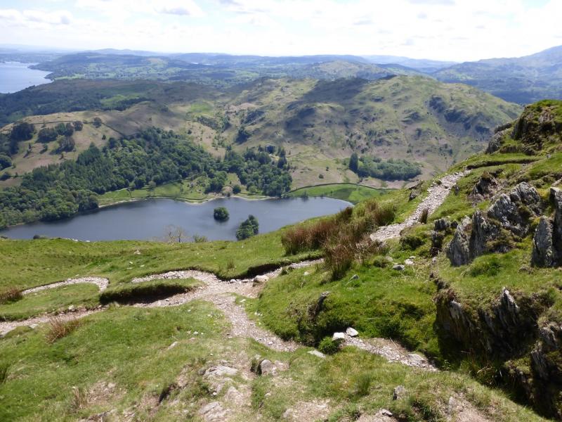
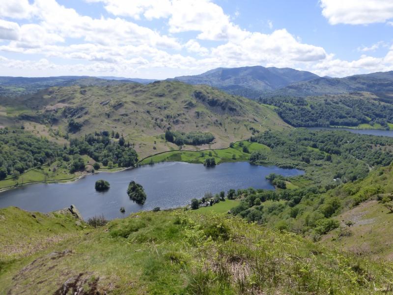
This is a short walk, ideal for a mid-winter's day. Lying snow would not normally be a problem. Loughrigg Fell is an ideal viewpoint on a clear day with many fells and lakes visible including parts of the Fairfield Horseshoe, the Coniston Fells, Grasmere and Windermere. There is a multitude of paths, many more than shown on the map so this may make navigation confusing in mist especially as there are many minor tops. However, the many paths do allow for plenty of exploration if one is so inclined. This route uses the main paths and includes the interesting stepping stones across the River Rothay and the path along the south shore of Rydal Water. There is some road walking on the minor Under Loughrigg Road. It is possible to avoid the A591 altogether.
Route
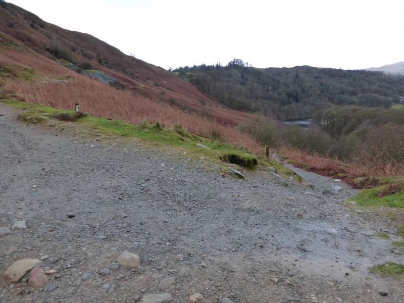
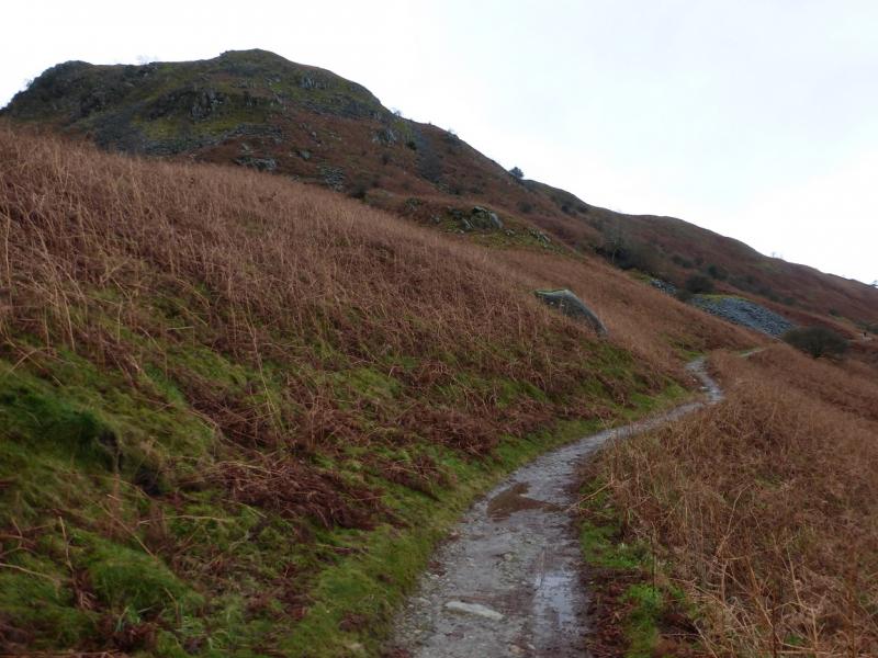
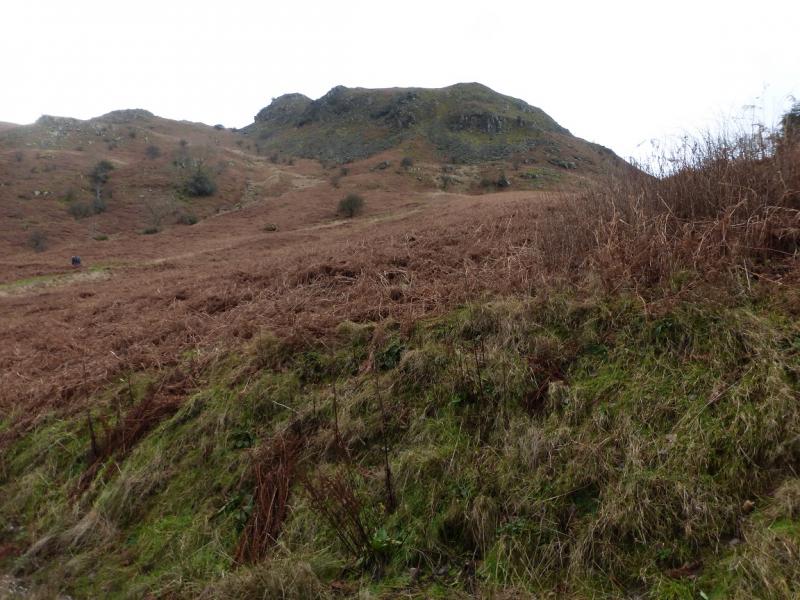
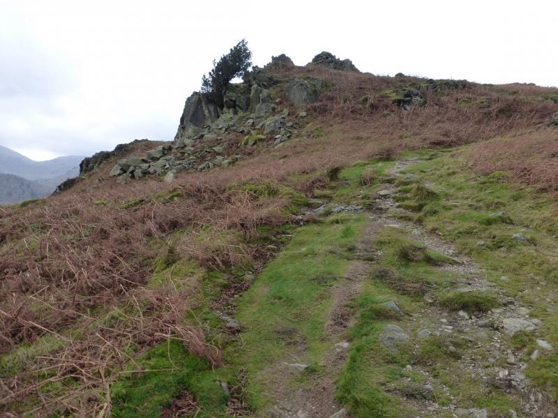
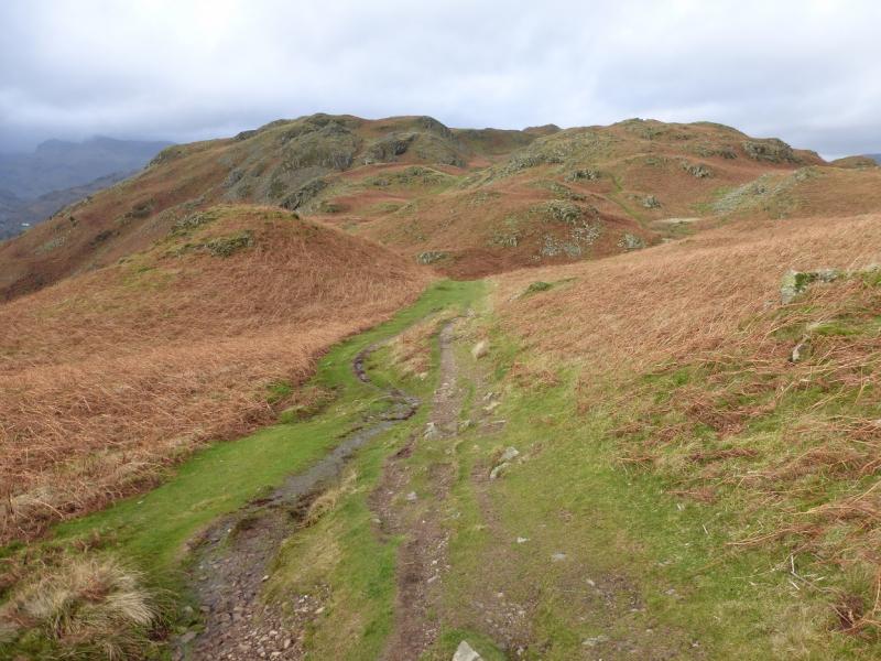
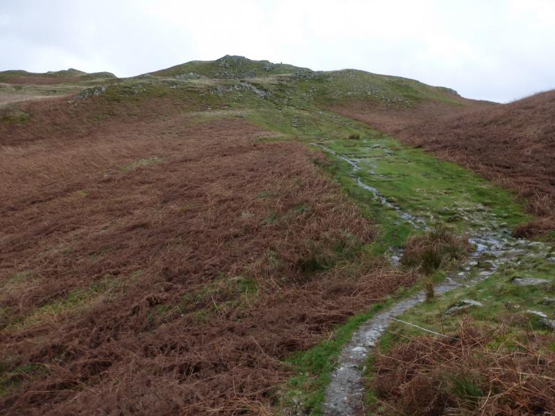
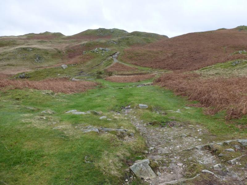
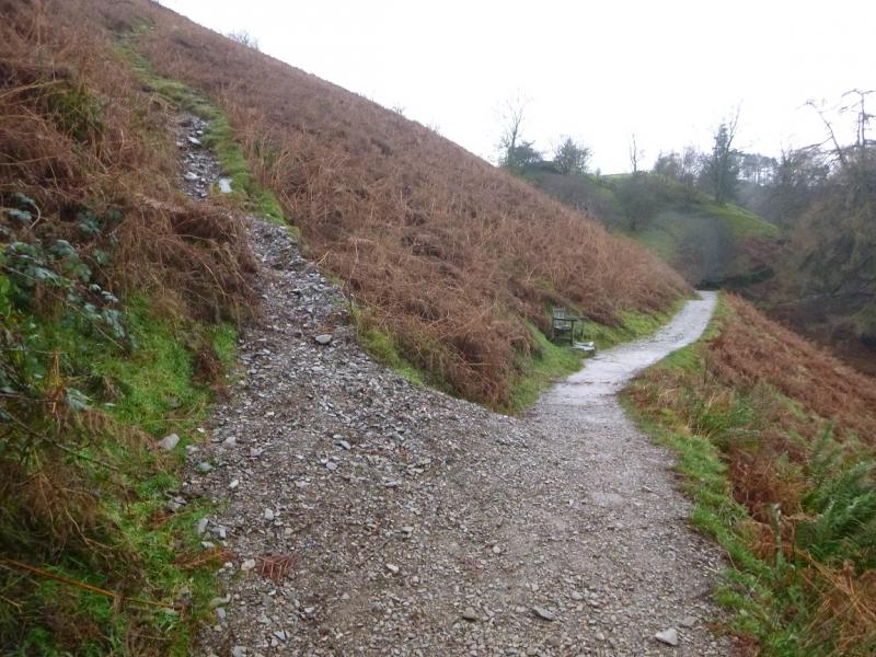
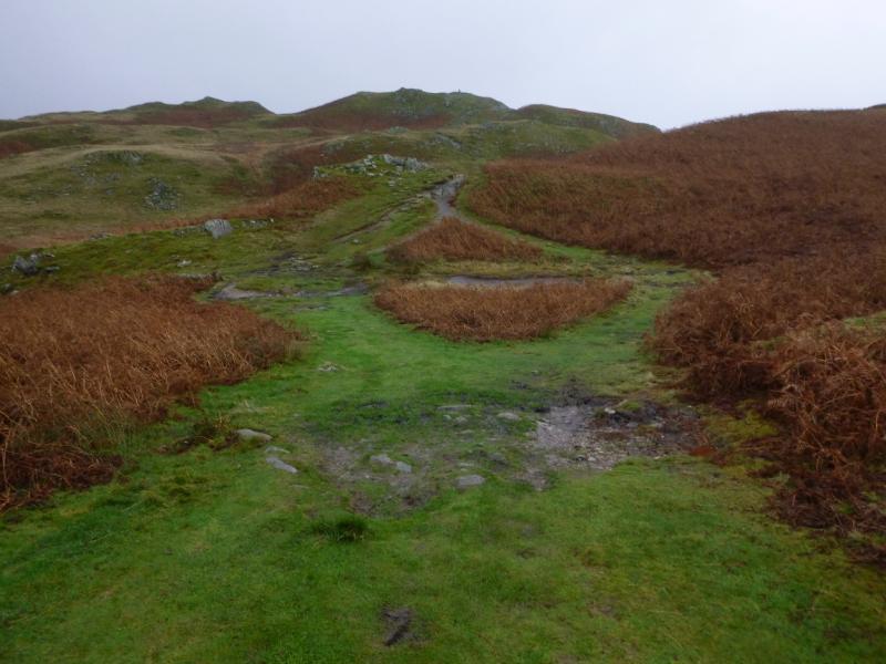
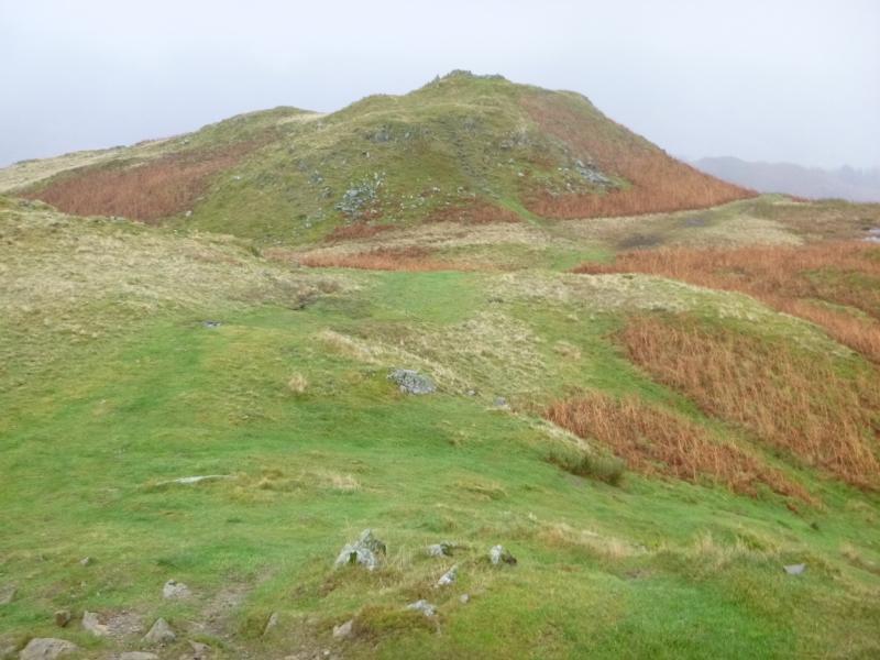
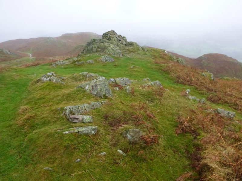
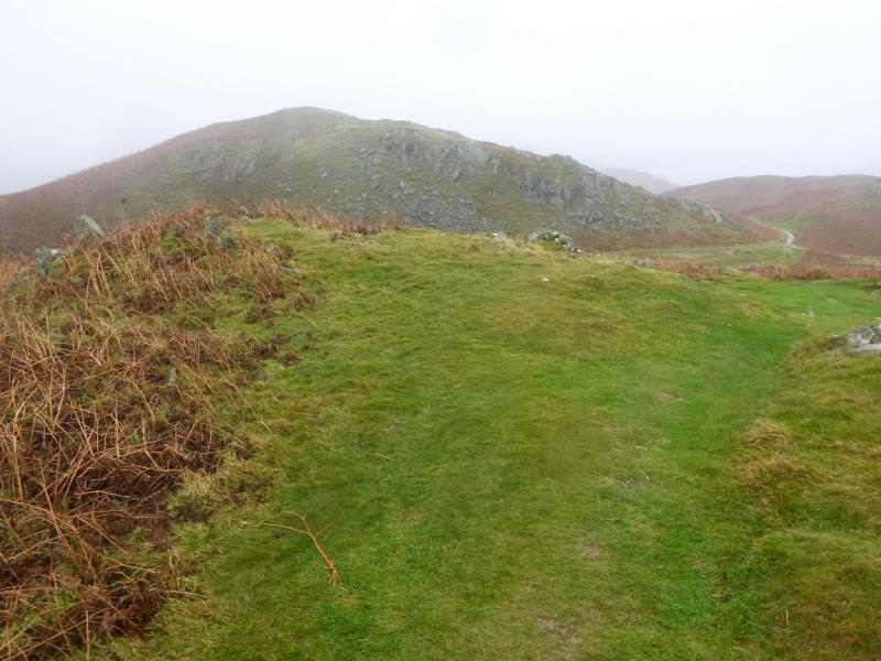
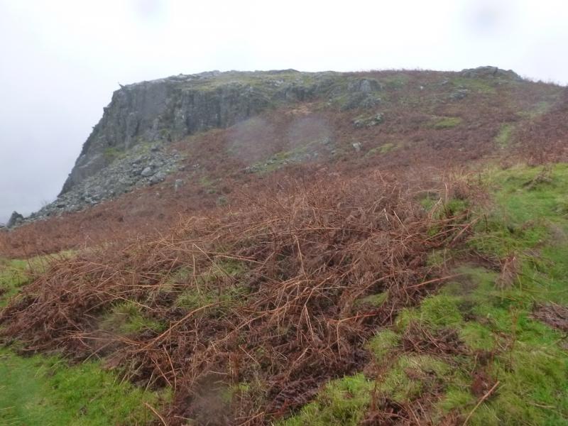
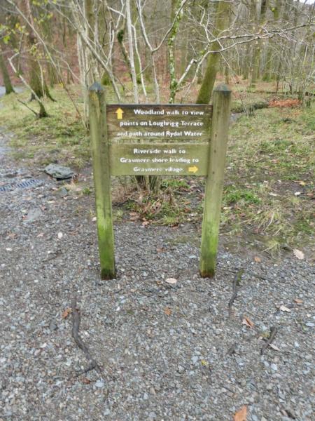
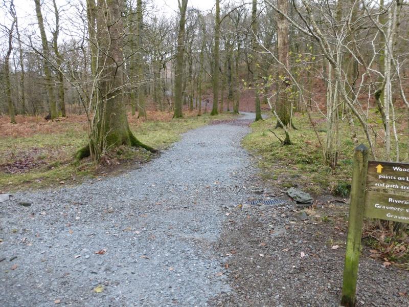
(1) From the main White Moss car park, follow the path along the river heading towards Grasmere. Cross the first bridge reached then go straight ahead through a small wood. Just before the end of the wood the path splits, take the right fork and follow this to another path split. Take the left fork which is Loughrigg Terrace and gives grand views of Grasmere. Follow Loughrigg Terrace until almost at another wood. Either take the old gravel path, reached first, or the new stepped path reached soon after. The old gravel path soon joins the new one. Follow the path up, moderately steep in places enjoying improving views of Grasmere if one looks back. When the path levels out for a while, the summit trig point will be seen. Continue on the path and soon reach the trig point which is the summit of Loughrigg Fell, 335 m. There is a top of similar height to the E but it has no cairn.
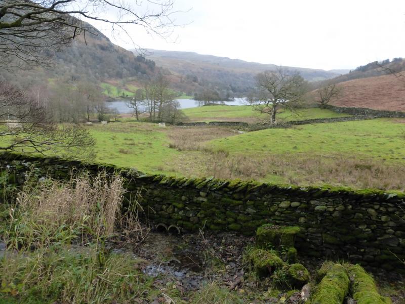
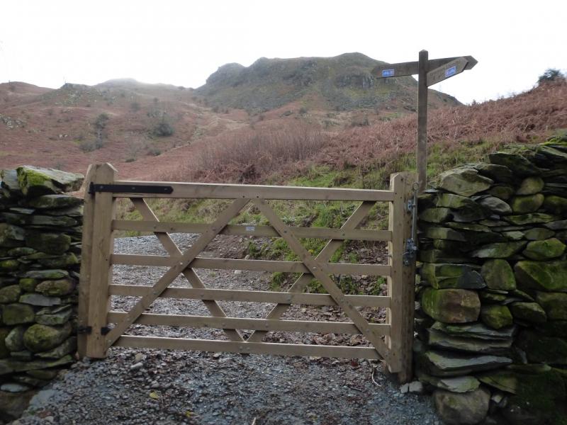
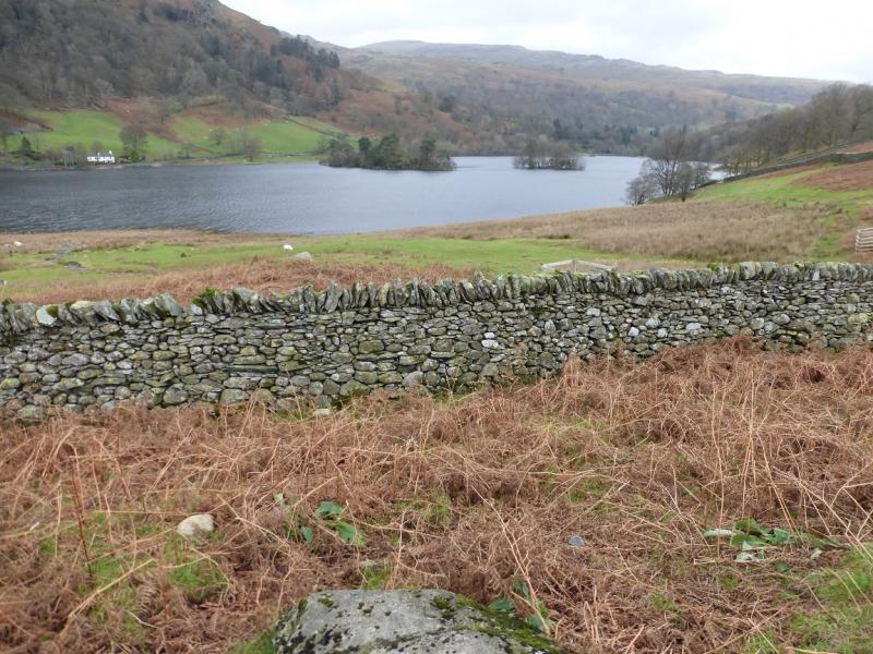
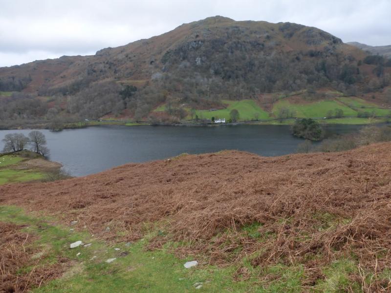
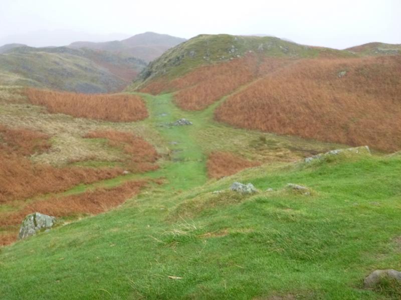
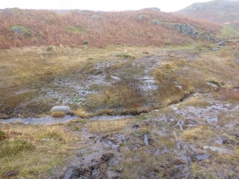
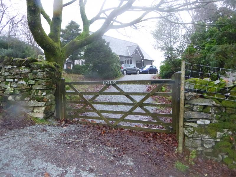
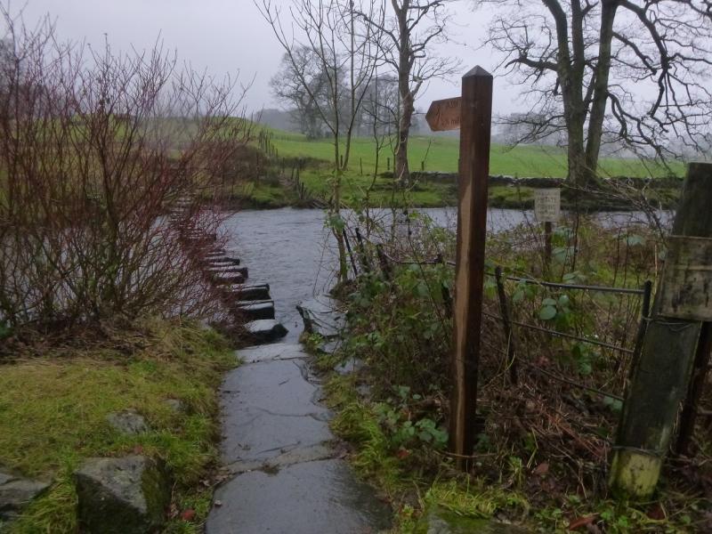
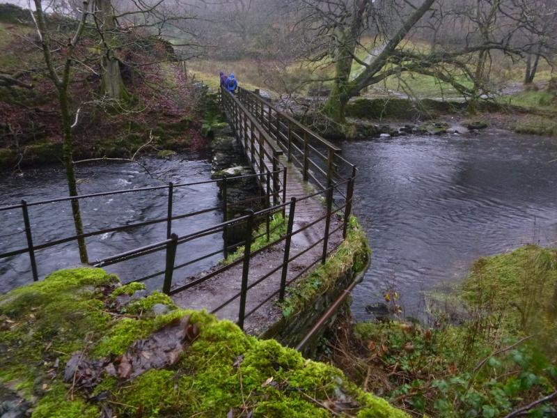
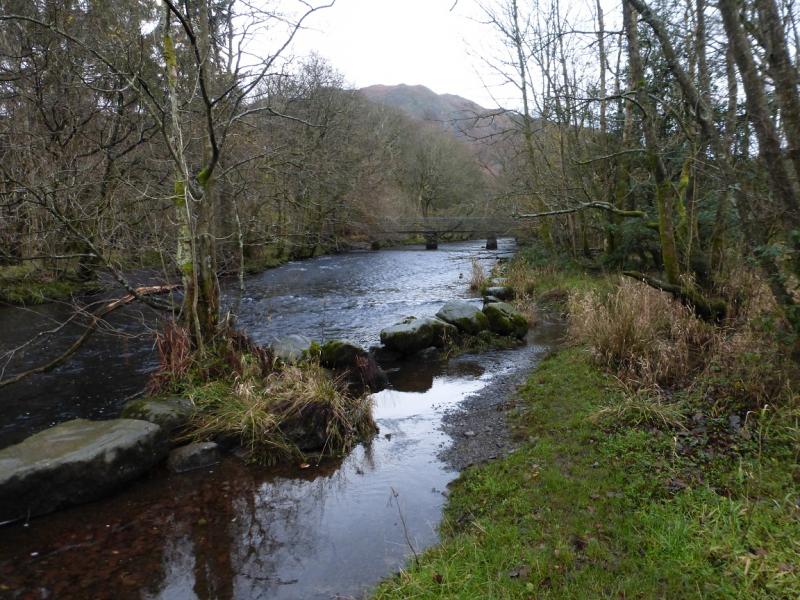
(2) Descend down a path heading roughly SE in a “mini-valley”. Follow the path and soon reach a cairn. Near here, the path goes E, around Top 289, and picks its way over to a major path, virtually a track, and follow it down to a gate. Continue and soon reach the house at Pine Rigg where the track becomes a very minor road. Follow this down to a reverse left fork footpath which is signed for Under Loughrigg Road. Take this path which has a few very wet sections and soon reach the road. Turn left and follow the road past Fox How. The very obvious river on the right is the River Rothay. After less than 1 km, there is a footpath sign for the A591. The path crosses the river by some very good stepping stones. It is worth crossing then returning back rather than going to the busy A591. Continue on the Under Loughrigg Road until a track, on the left, is reached just before the A591. Follow the track and reach the footpath along the S side of Rydal Water. Follow this W to reach the small wood and outward path back to the White Moss car park.
Notes
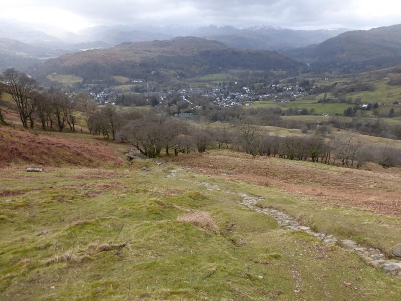
(a) This walk took place on 27th November, 2015. The weather was foul hence the poor photos. It will be revisited sometime!
Photos - Hover over photo for caption. Click on to enlarge. Click on again to reduce.

.JPG)
.JPG)