Get Lost Mountaineering
You are here: England » Lake District » 3 Central Fells
Loughrigg Fell via Rydal Cave from White Moss Car Park
Loughrigg Fell via Rydal Cave from White Moss Car Park
Start/Finish
White Moss Car Park which is just to the west of Rydal Water on the way to Grasmere. It is well signed on the A591 road from Ambleside to Keswick. On 27/11/2015, it was £7 per day. The main car park is on the river side of the road with a smaller on on the opposite side. Out of season, there is a minor road from near the Grasmere end of the smaller car park. There are some small lay bys up this road.
Distance/Time
6 km About 2 – 3 hours
Peaks
Loughrigg Fell, 335 m, NY 347 051. OS 1: 50 000 , Sheet 90.
OS 1: 25 000 Outdoor Leisure 5, English Lake District NE Area.
Introduction
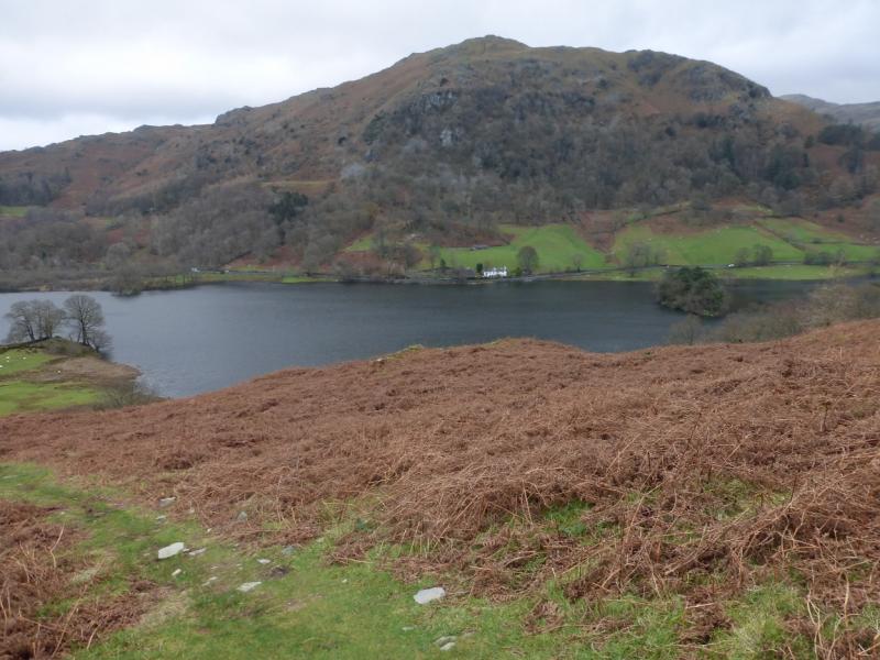
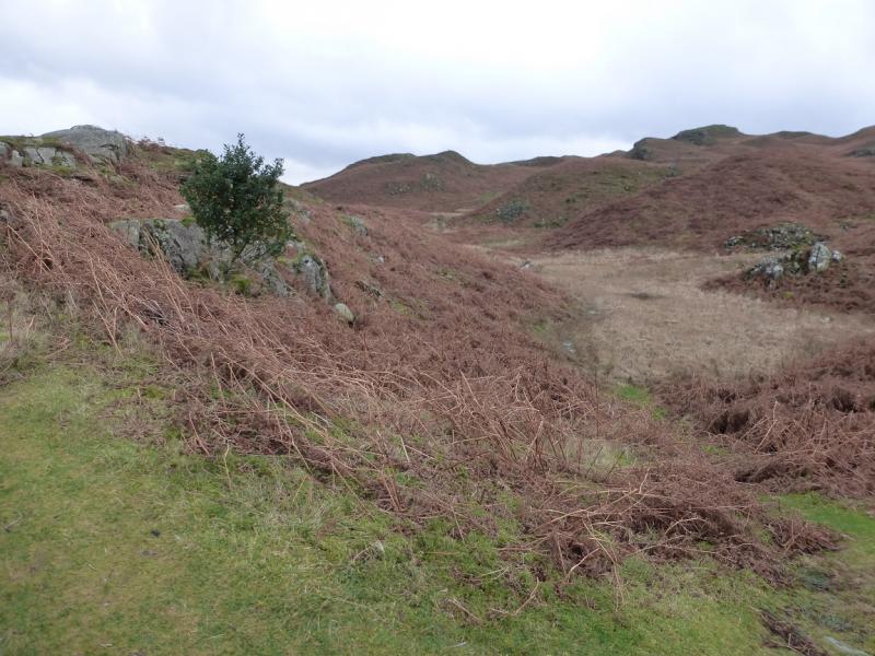
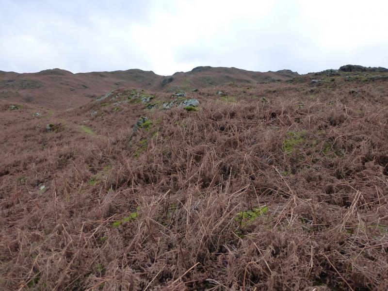
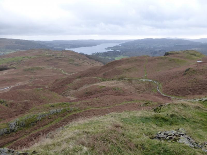
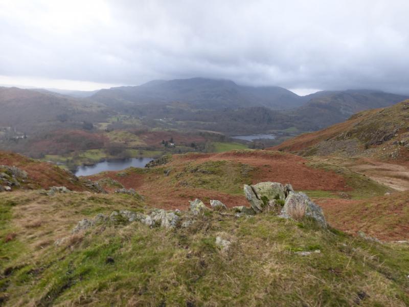
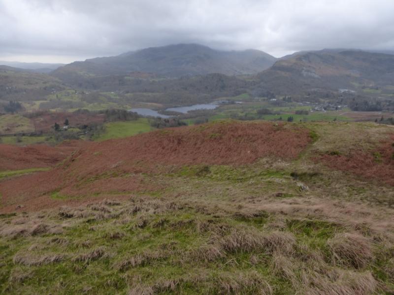
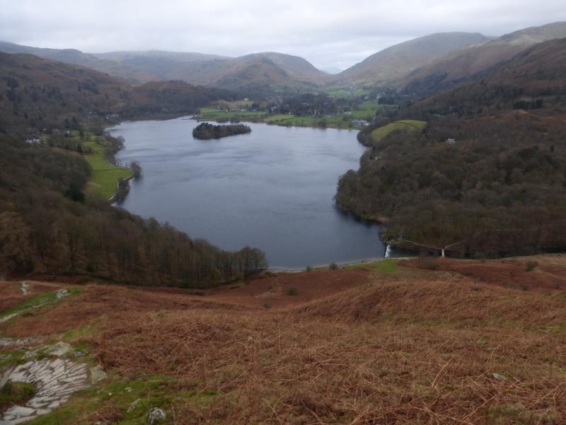
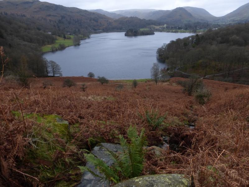
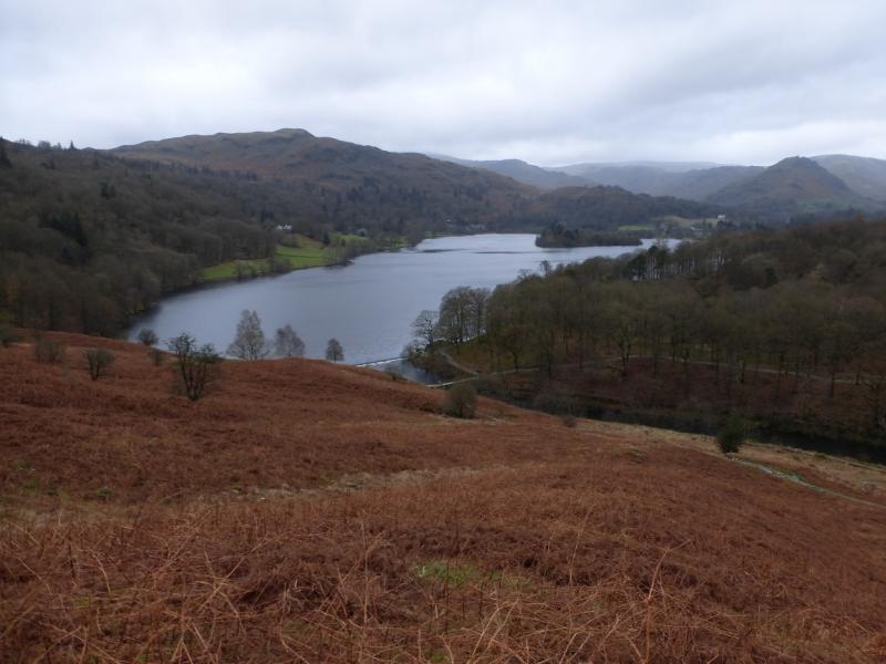
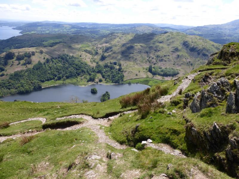
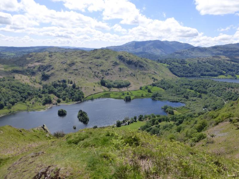
This is a short walk, ideal for a mid-winter's day. Lying snow would not normally be a problem. Loughrigg Fell is an ideal viewpoint on a clear day with many fells and lakes visible including parts of the Fairfield Horseshoe, the Coniston Fells, Grasmere and Windermere. There is a multitude of paths, many more than shown on the map so this may make navigation confusing in mist especially as there are many minor tops. However, the many paths do allow for plenty of exploration if one is so inclined. This route ascends via Rydal cave and descends via Loughrigg Terrace.
Route
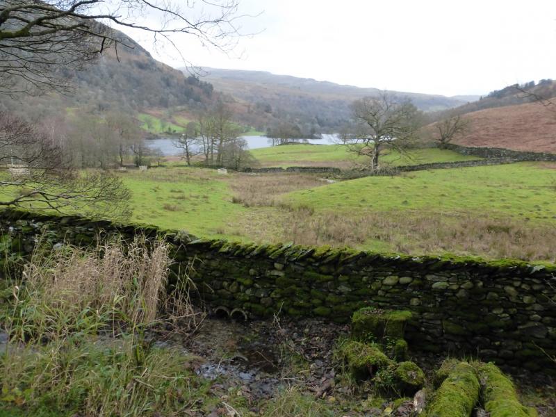
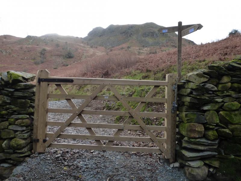
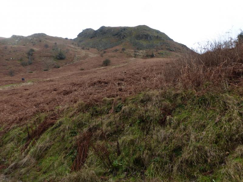
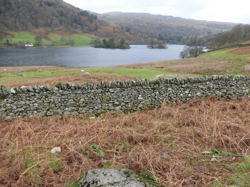
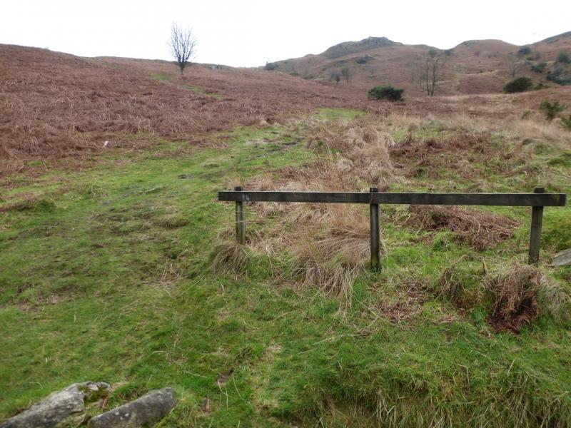
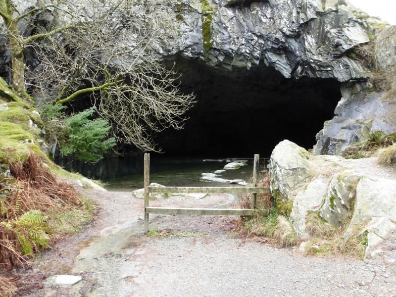
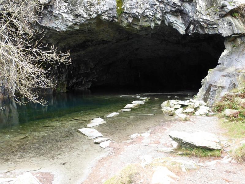
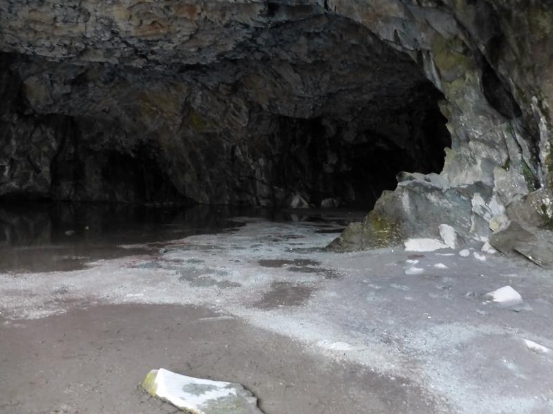
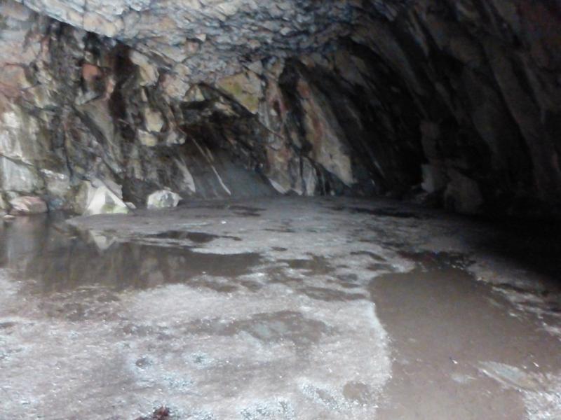
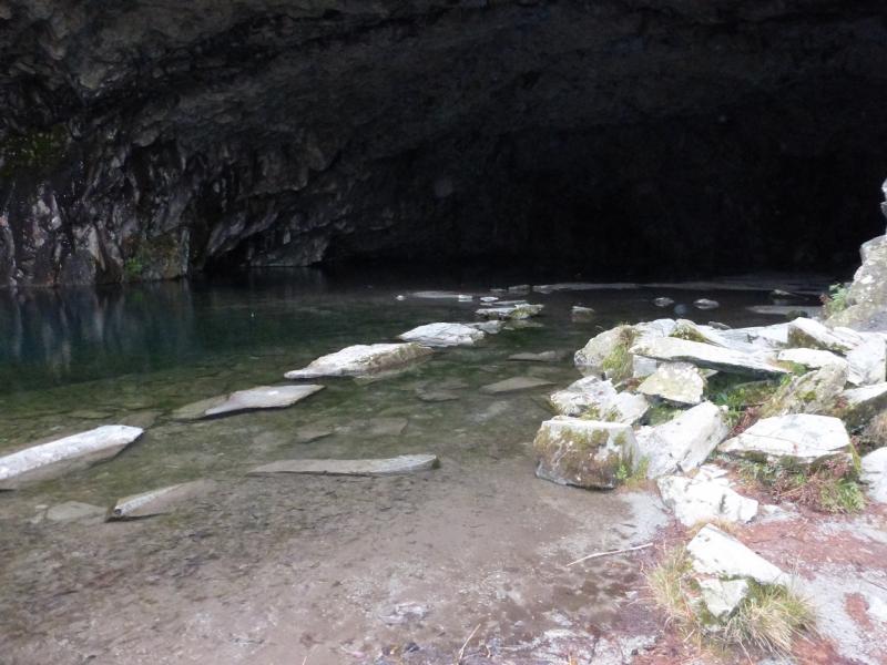
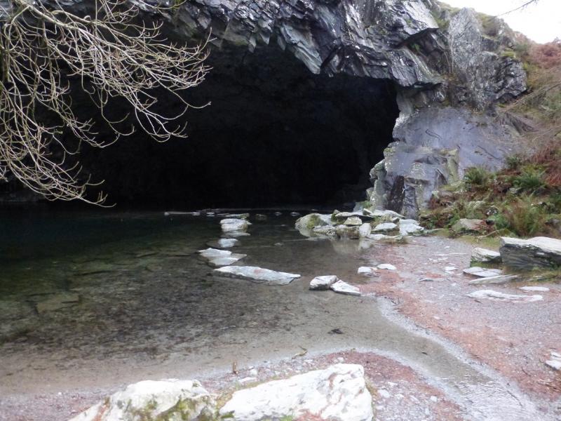
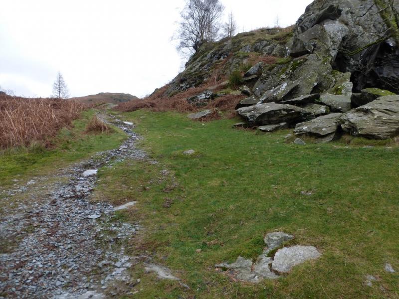
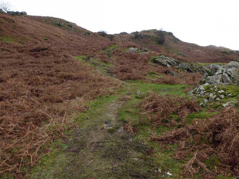
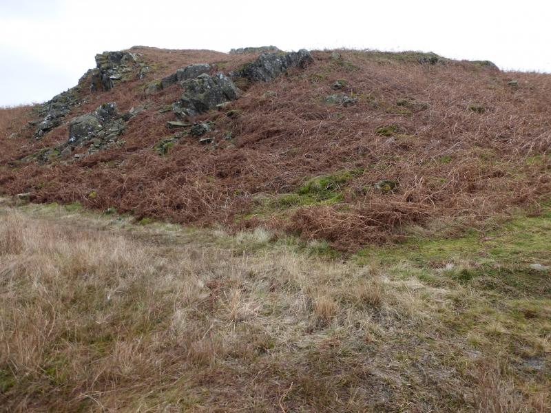
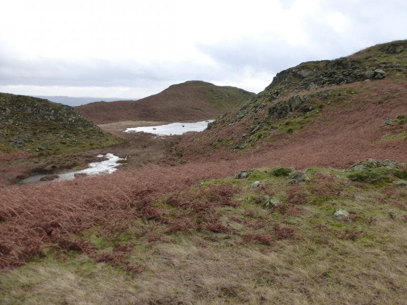
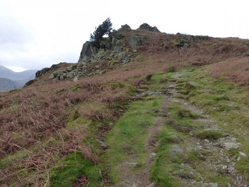
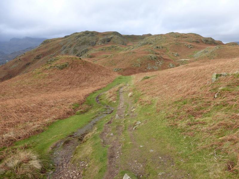
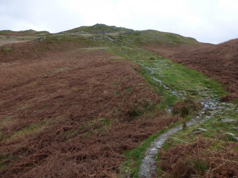
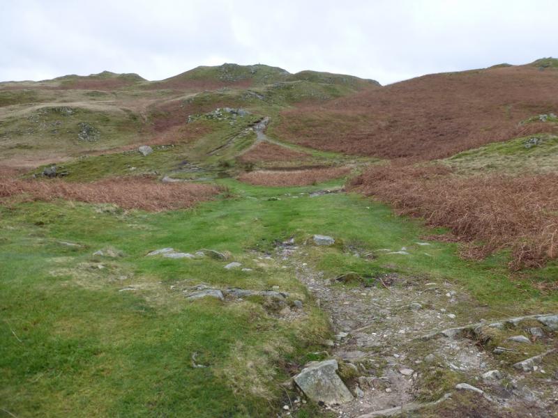
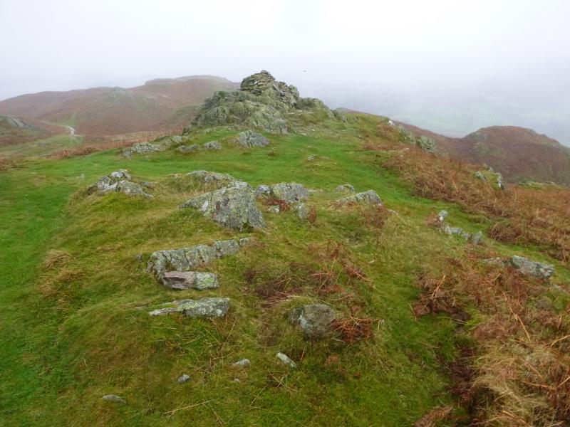
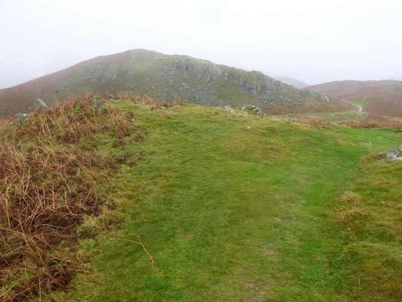
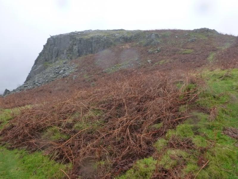
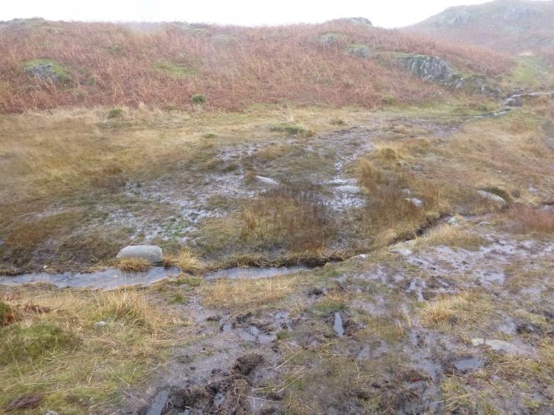
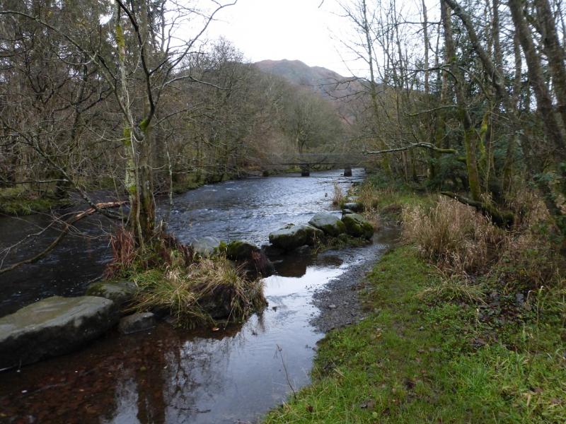
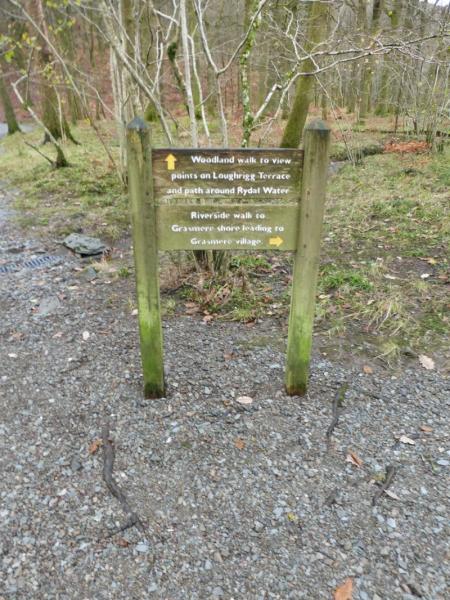
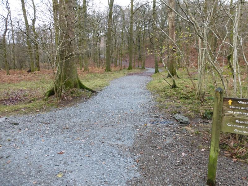
(1) From the main White Moss car park, follow the path along the river heading towards Grasmere. Cross the first bridge reached then go straight ahead through a small wood. Just before the end of the wood the path splits, take the left fork to the S side of Rydal water. Follow this past a small wood, above to the right, then take a slanting path up to join the higher path. Turn left on this and soon reach Rydal Cave which has a very large opening and its floor is usually a small and shallow lake! Take the path up the left side of the cave and follow it up, ignoring any branches going off to the right. This eventually joins a main path on the ill-defined crest. For the summit, turn right, roughly N, on the main path but it is worth turning left and going S to explore this end of the fell to enjoy views down Windermere and to Loughrigg Tarn. There is another main path further over, towards Langdale, to avoid retracing ones step. Whichever main path one is on leads N to the trig point which is the summit of Loughrigg Fell, 335 m. The top just to the E is of similar height but has no cairn.
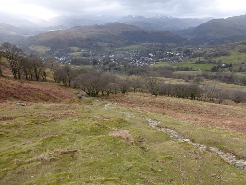
(2) Descend NW on a distinctive path which leads down to a horizontal path, above Grasmere, known as Loughrigg Terrace. Turn right, NE, and follow this back to the gate and outward route through the wood back to White Moss.
Notes
(a) This walk took place on 4th December, 2015.
Photos - Hover over photo for caption. Click on to enlarge. Click on again to reduce.

.JPG)