Get Lost Mountaineering
You are here: England » Peak District » Baslow to Ladybower including Gardom's, Birchen, Froggat, Curbar, Burbage, Higgar Tor & Stanage
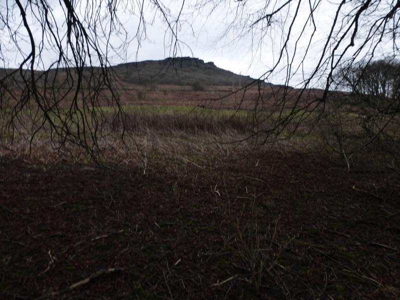
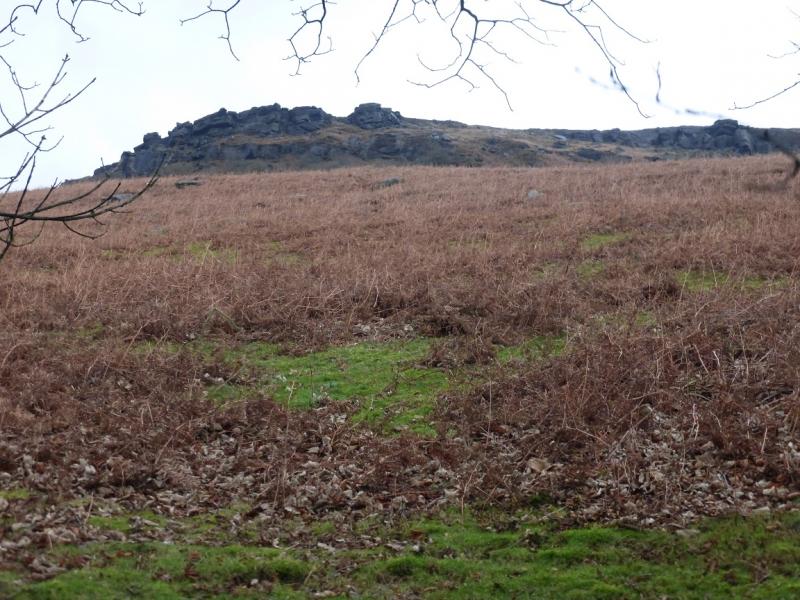
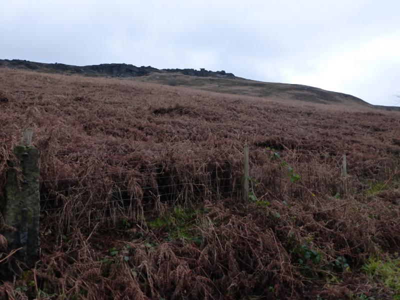
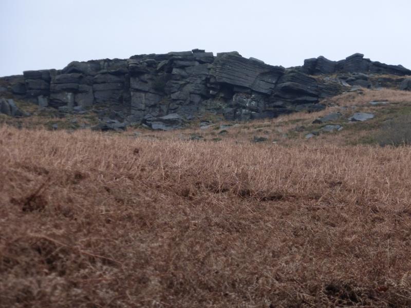
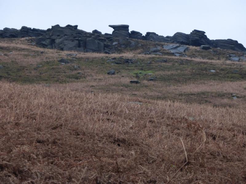
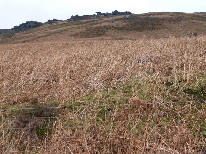
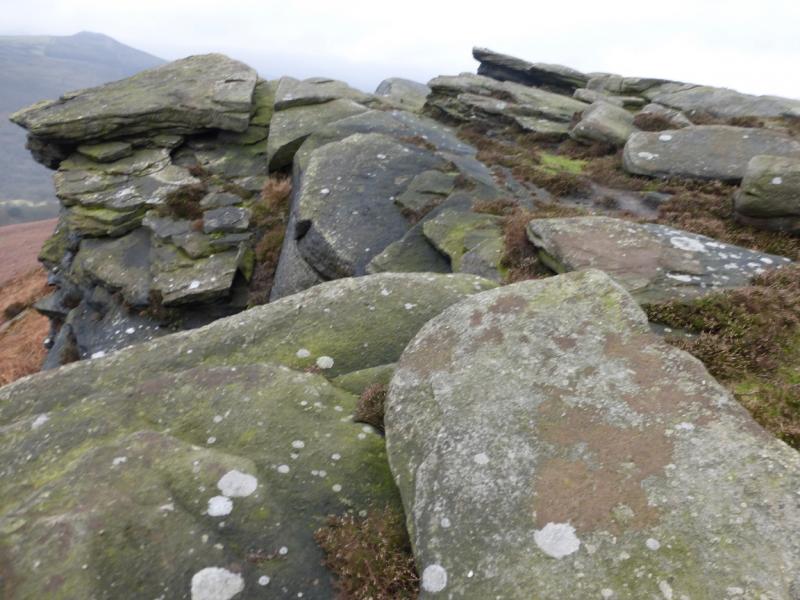
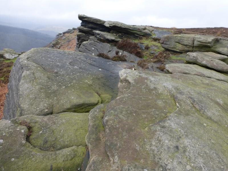
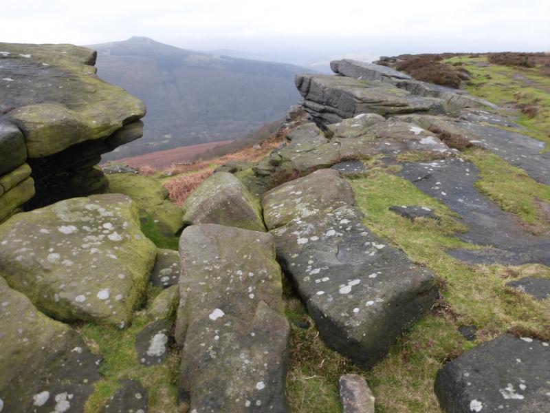
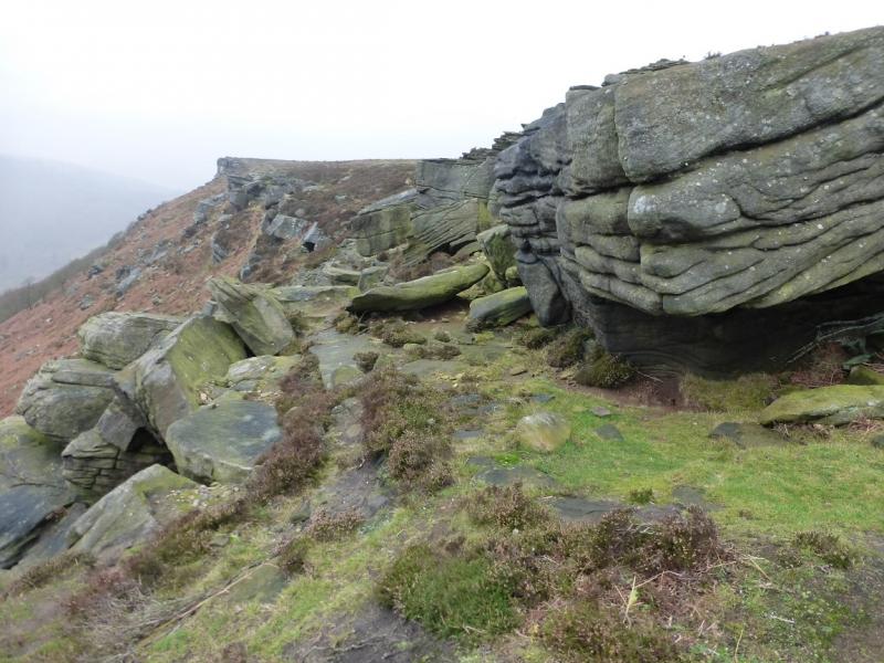
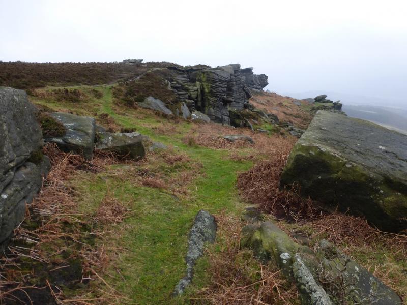
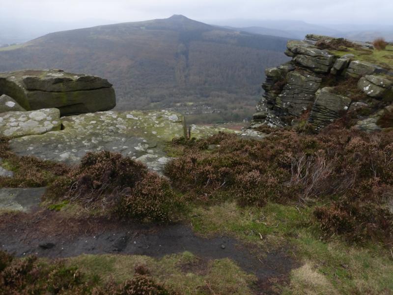
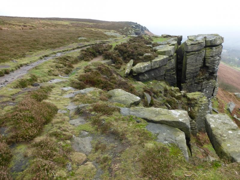
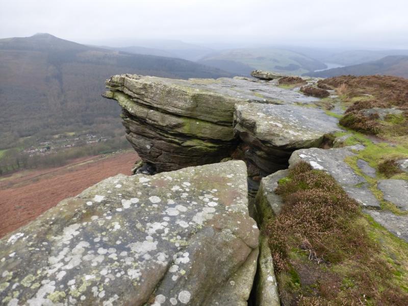
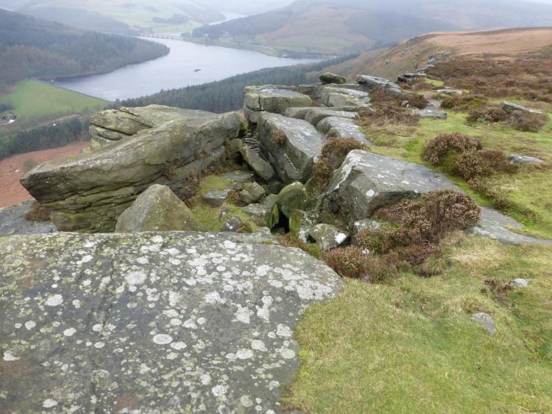
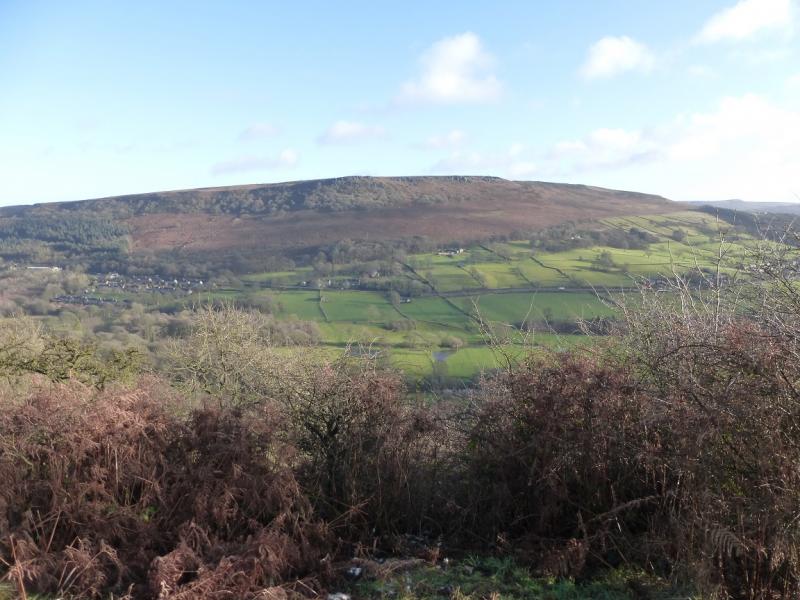
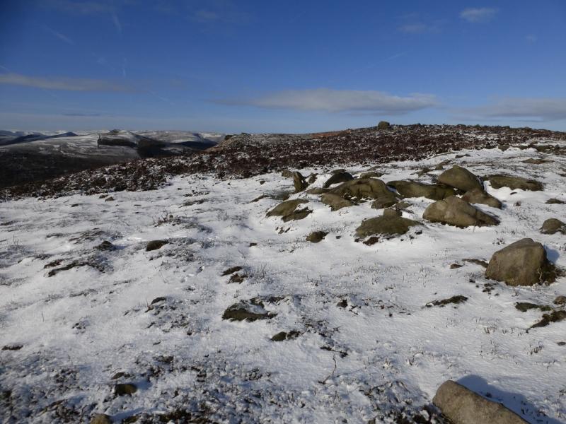
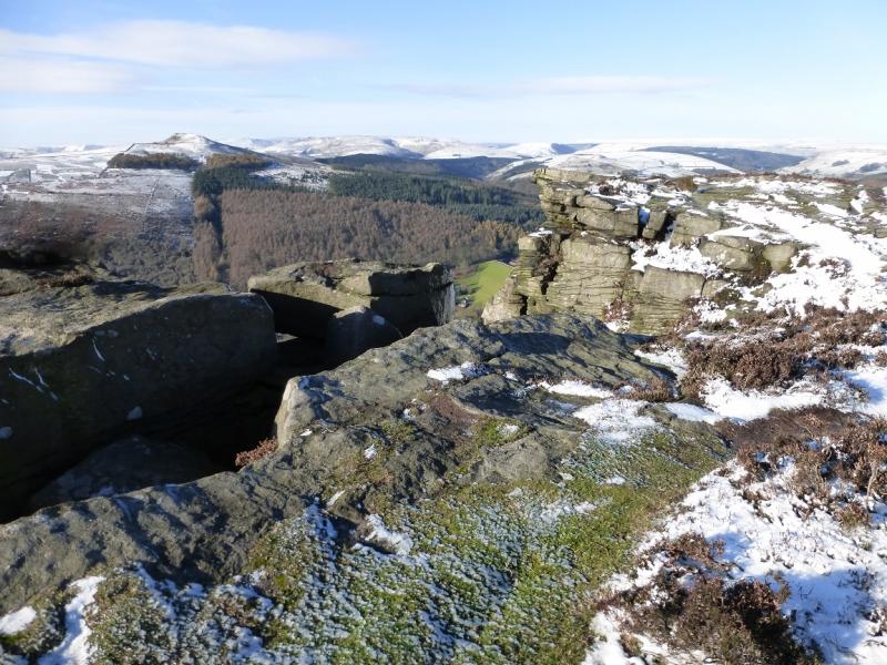
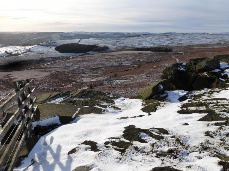
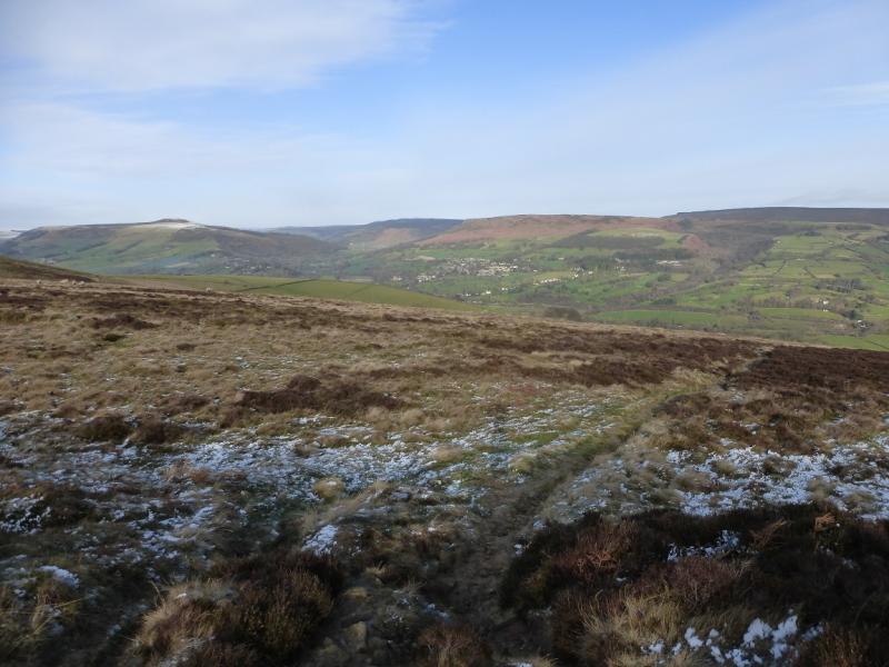
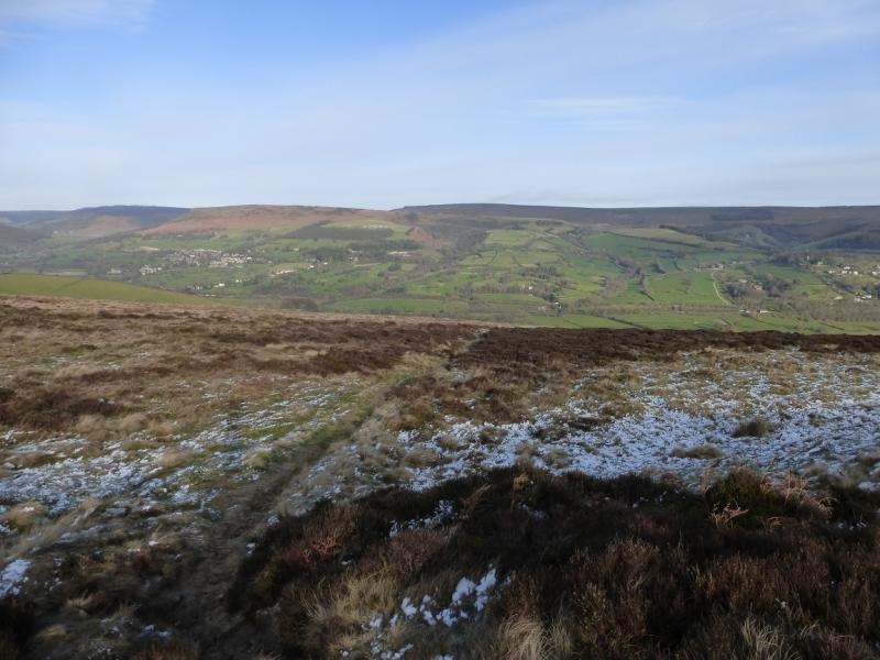
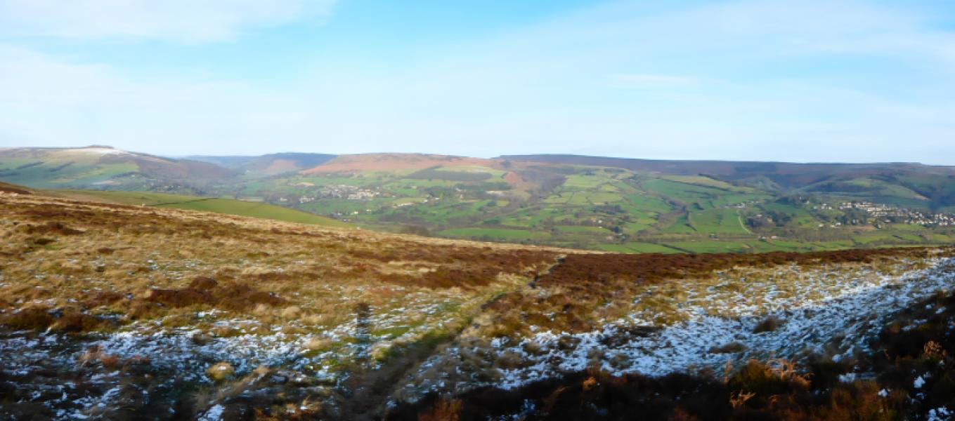
Bamford Edge from near Yorkshire Bridge Inn
Bamford Edge from near Yorkshire Bridge Inn
Start/Finish
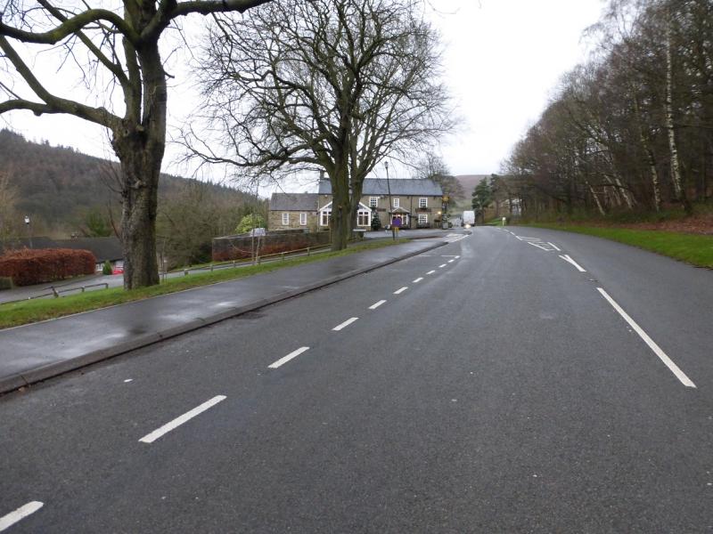
On the A6013 road which connects the A57 from Ladybower Reservoir to Bamford beyond which it joins the A625 Hathersage to Castleton road. Park just south of the Yorkshire Bridge Inn. There is a telephone box just south of the inn. Parking is limited and there are no car parks nearby. Just to the south of the phone box is a minor road going west down to the River Derwent. Some parking is possible on this minor road but not on its side streets.
Distance/Time
6 km About 2 – 3 hours
Peaks
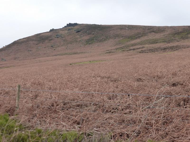
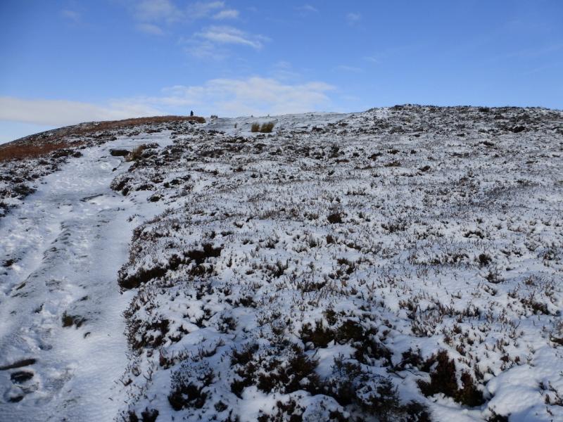
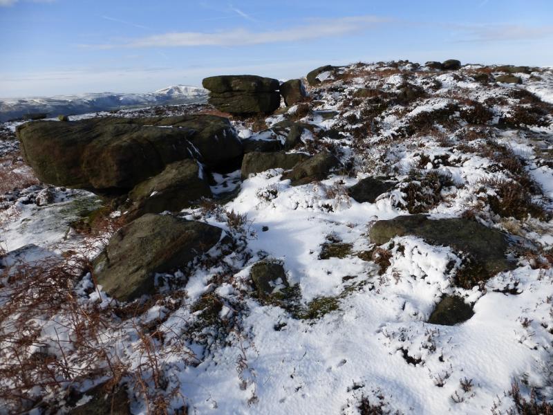
There are no real summits on this walk as it is mainly an edge walk along Bamford Edge. The highest point which can be reached is 426 m but this is set back from the edge.
OS Outdoor Leisure 1: Dark Peak. OS 1:50 000 Sheet 110
Introduction
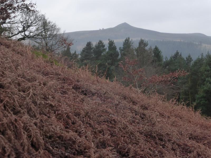
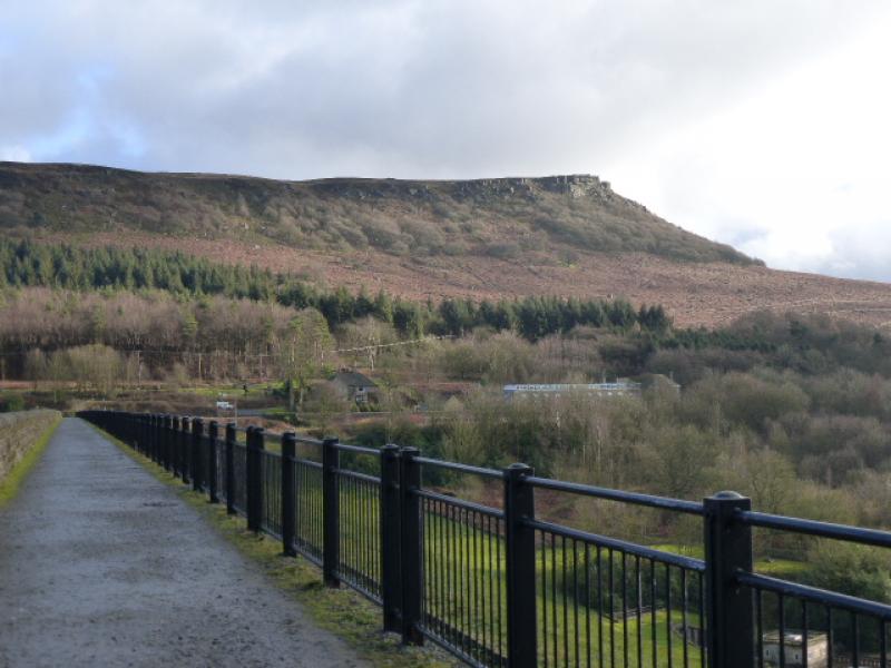
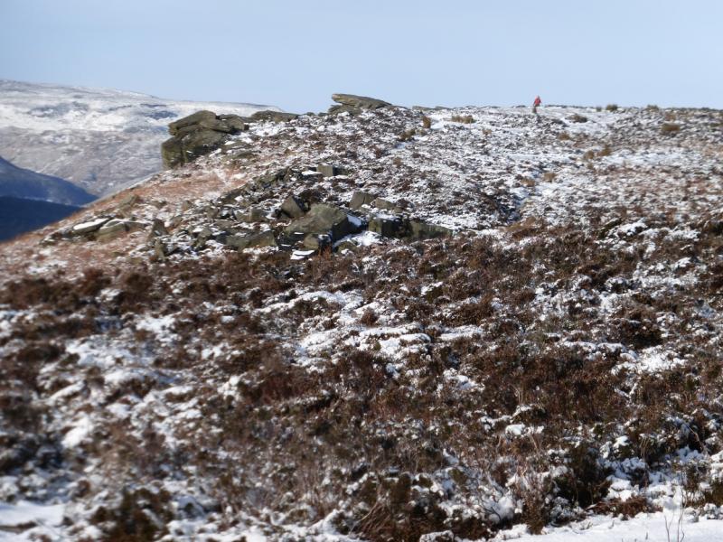
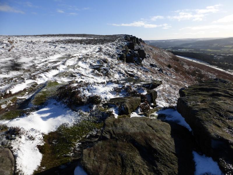
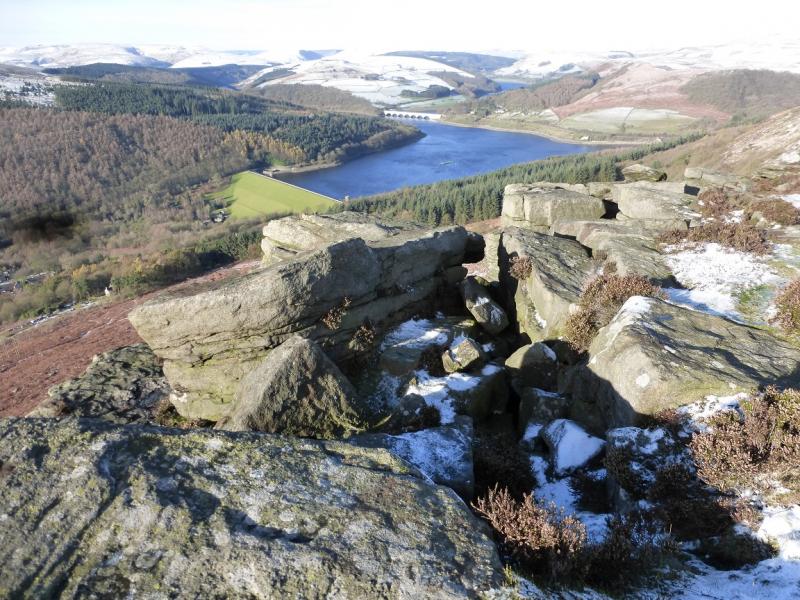
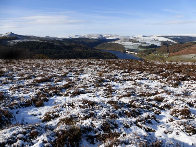
This is a very pleasant walk with very good views in all directions. Bamford Edge is not as popular as Stanage Edge but offers much better views to Win Hill and Ladybower Reservoir with Mam, Kinder and Bleaklow further back. It is best saved for a clear day, ideally in winter when snow is on the ground but not on the road. There are paths on Bamford Edge but none are shown on the map! The return is mainly along the minor road below Stanage Edge which gives good views of the edge from below.
Route
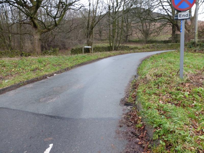
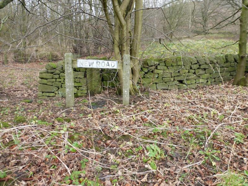
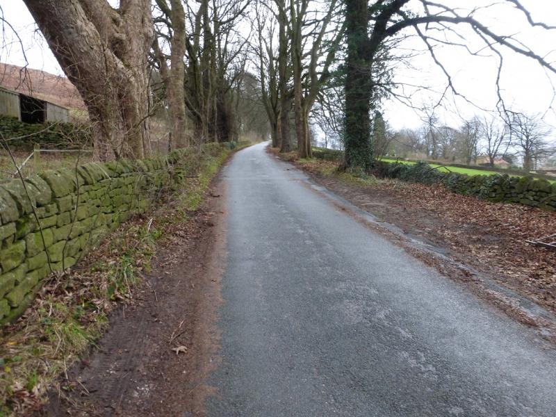
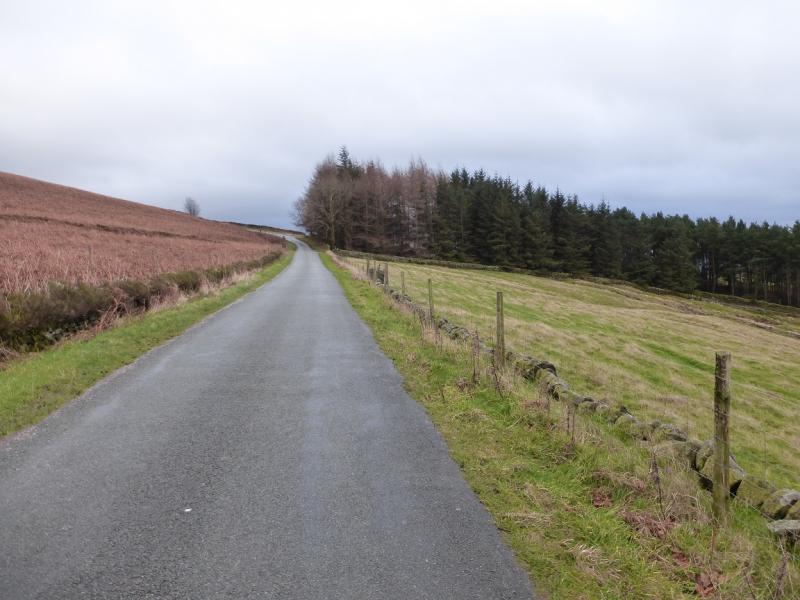
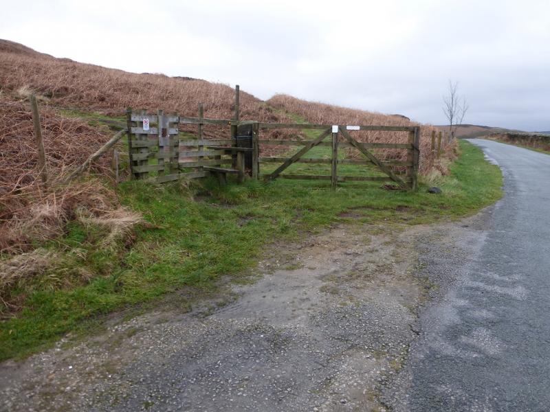
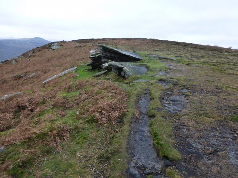
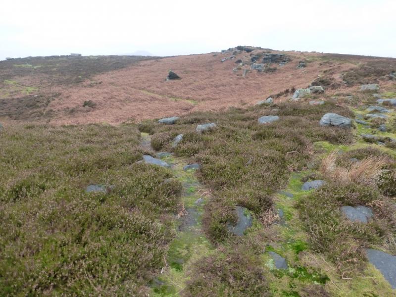
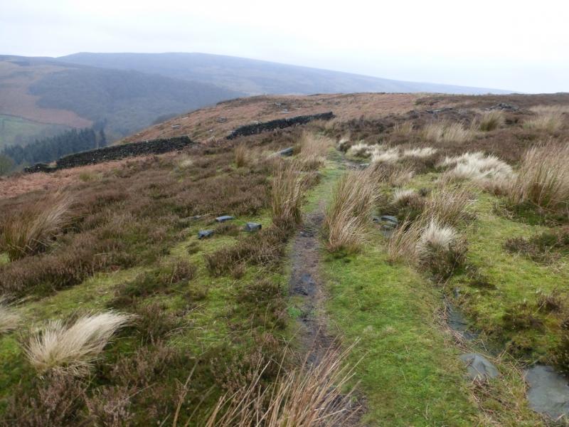
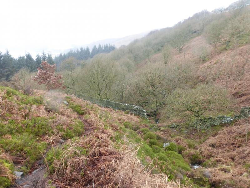
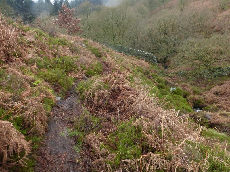
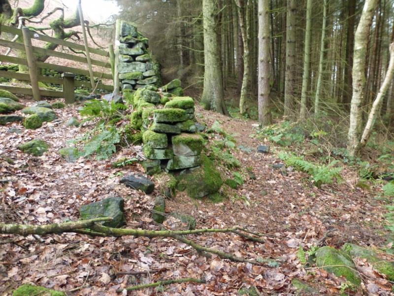
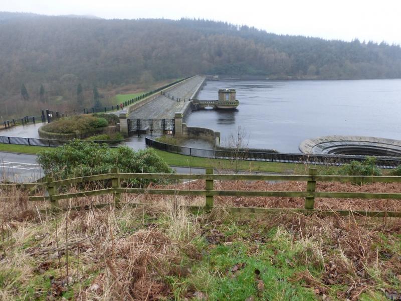
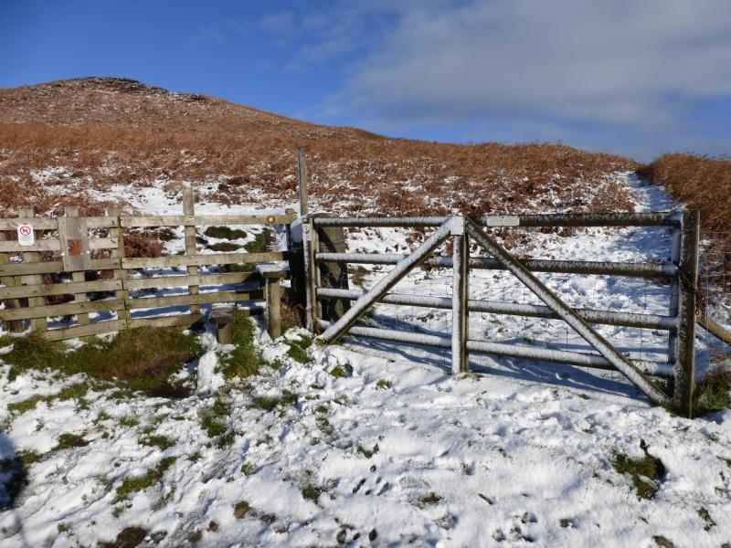
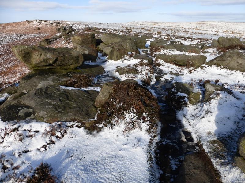
(1) From the Yorkshire Bridge Inn, walk S along the A6013 towards Bamford. About opposite the phone box, a minor road forks left which is called New Road (sign set back on left). Follow this, often quiet, road up past a wood on the right. Views up to Bamford Edge can be enjoyed by looking left.From the the first crest of New Road, go through the gate on the left, N side, and follow the path up on to the edge and continue N. Just past the highest point (no cairn) there is a superb view of Ladybower Reservoir. Stay on the path which continues even after the rocky edge ends and crosses a broken wall below a corner. Continue on the path which reaches a minor clough (gully) (not named) after which there are some pillars.
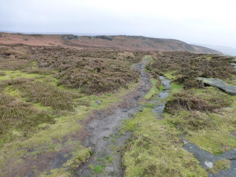
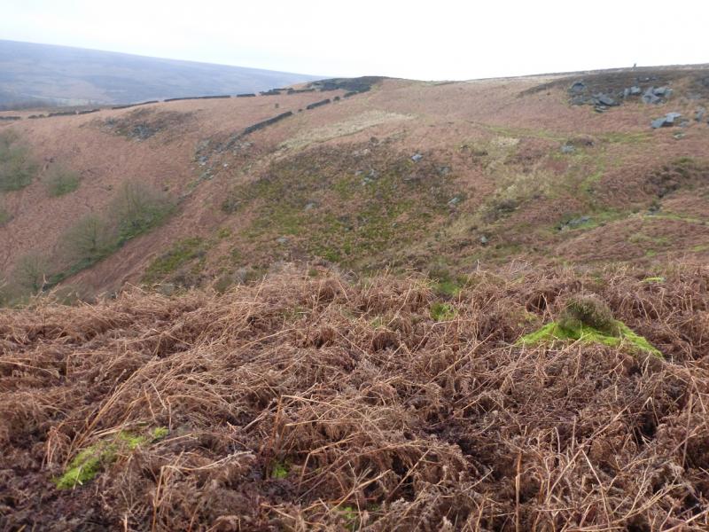
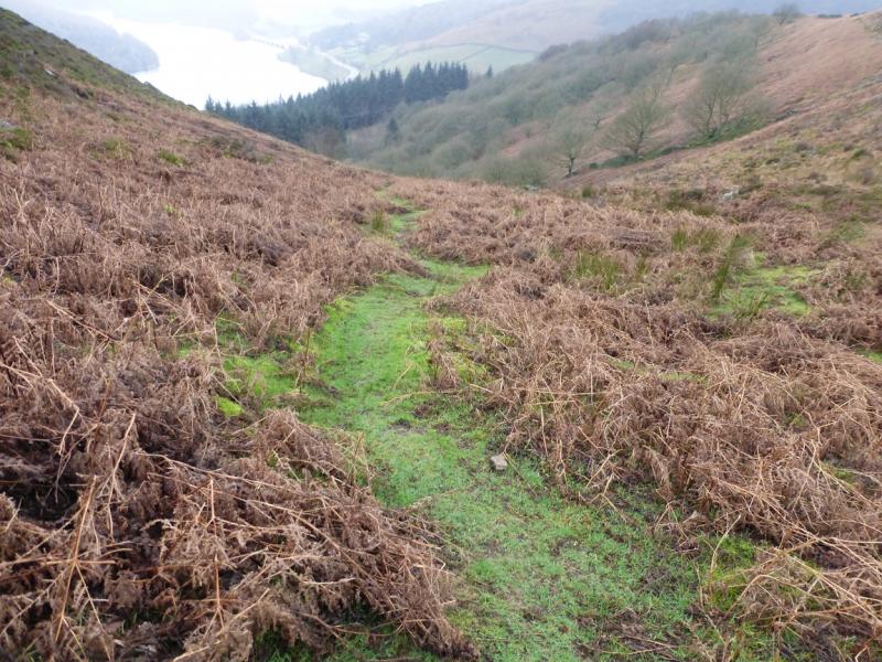
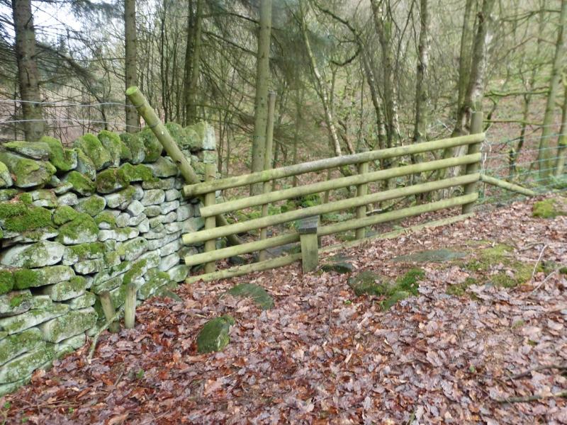
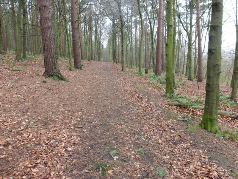
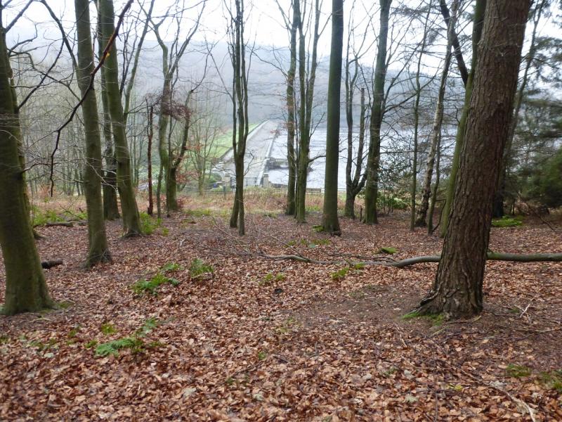
(2) Stay on the path which continues even after the rocky edge ends and crosses a broken wall below a corner. Continue on the path which reaches a minor clough (gully) (not named) after which there are some pillars. Take the path, muddy in places, down this clough with any stream well to the right. Lower down a broken wall can be seen going up this clough just before the wood is reached at a wall and stile. Cross the stile then almost double back but gradually diverging away from the wall and heading roughly SW. There is a path but it is not that obvious near to the stile. Do not be tempted to follow the stream which descends W. Soon a more obvious path is reached which can be followed down to reach an old track through the trees above the car park near the Ladybower Dam. Follow the track, which becomes a path later on, and, if the arrows are followed, leads one down to the road almost opposite the Ladybower Dam. Cross over and walk the short distance, about 400 m, back to the Yorkshire Bridge Inn
Notes
(a) This walk took place on 19th December, 2015.
Photos - Hover over photo for caption. Click on to enlarge. Click on again to reduce.