Get Lost Mountaineering
You are here: England » Peak District » Bleaklow, Higher Shelf Stones & Cock Hill from Old Glossop & Snake Pass
Shelf Benches, Higher Shelf Stones, Bleaklow Head & Cock Hill via Pennine Way from Old Glossop
Shelf Benches, Higher Shelf Stones, Bleaklow Head & Cock Hill via Pennine Way from Old Glossop
Start/Finish
The turning circle at the end of Shepley Street in Old Glossop. From Glossop, take the Snake Pass road. Go through the first roundabout then take the next left at the Commercial Inn which goes up Manor Park Road. Higher up, the road seems to go right which is Shepley Street (there is a street sign). Follow this to its end at a turning circle just after a large factory on the left. Do not park in the turning circle but park sensibly close by.
Distance/Time
12 km About 5 – 6 hours
Peaks
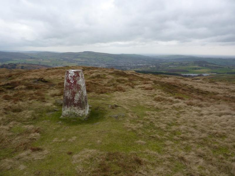
Higher Shelf Stones, 621 m, SK 088 947.
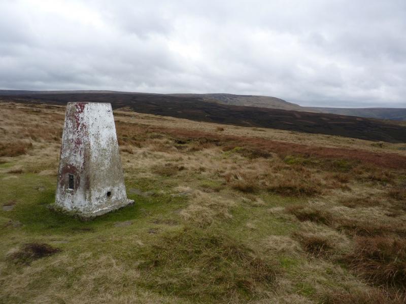
Bleaklow Head, 633 m, SK 092 958.
Glossop Low, 481 m, SK 066 967.
Cock Hill, 426 m, SK 059 962.
OS Outdoor Leisure 1: Dark Peak. OS 1 : 50 000 Sheet 110.
Introduction
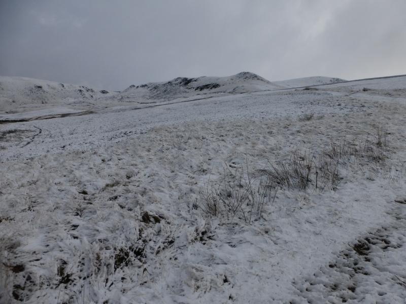
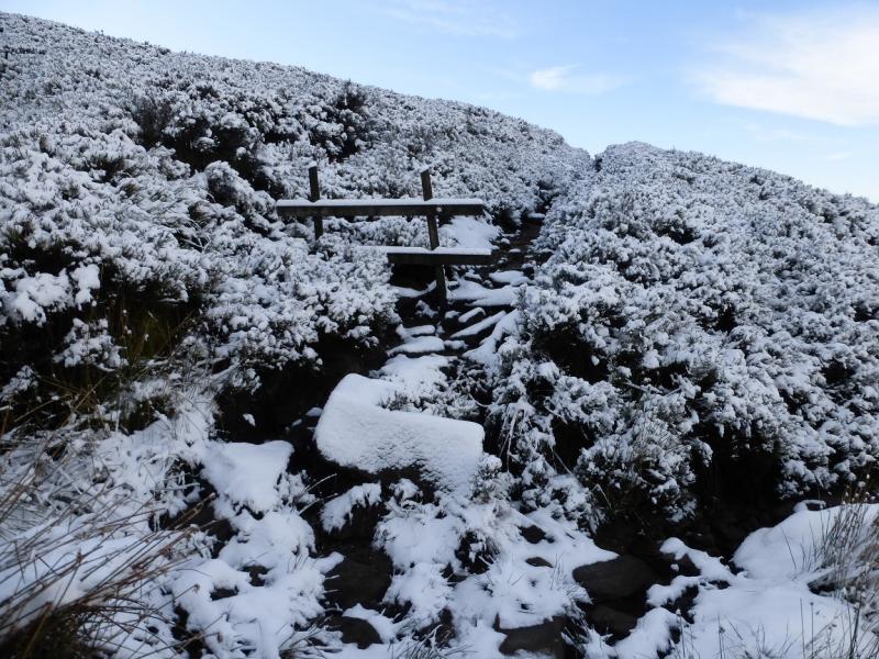
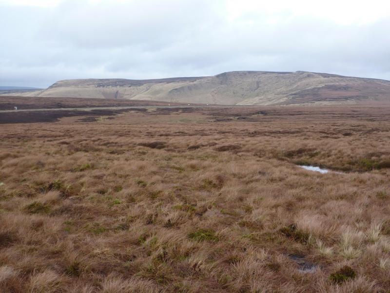
This is a fine walk in the Dark Peak which, in good weather has good views of the surrounding countryside including Black Hill, the Howden Edge, Kinder and Win Hill. Some of the going is boggy, even in a dry spell, and gaiters are recommended. This walk can easily be accomplished on a short winter's day. It is recommended when the ground is frozen as that makes it less boggy! Because of the nature of the terrain, this walk is best undertaken in clear weather.
Route
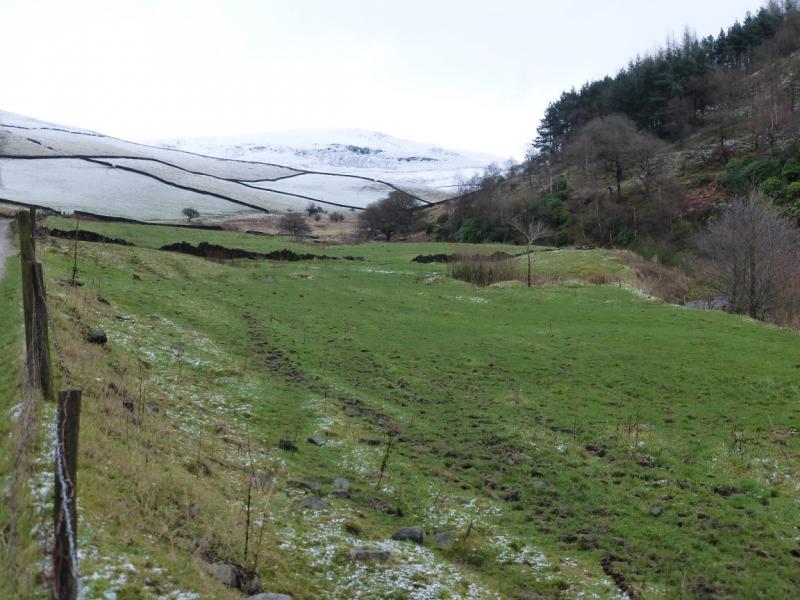
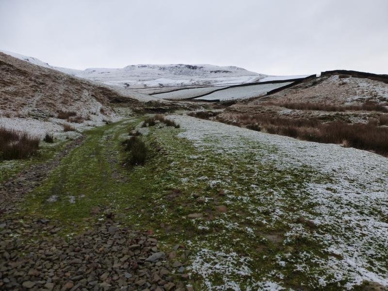
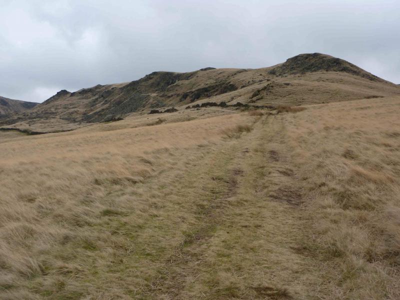
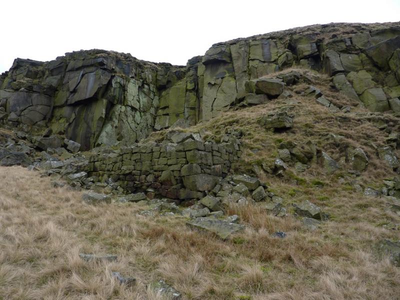
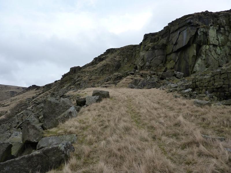
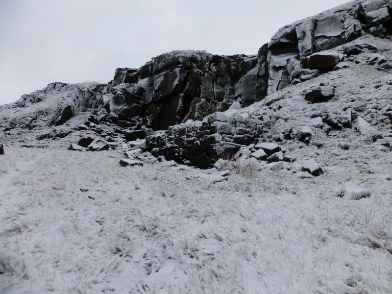
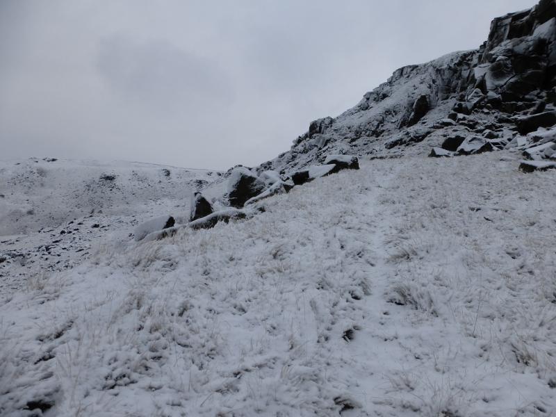
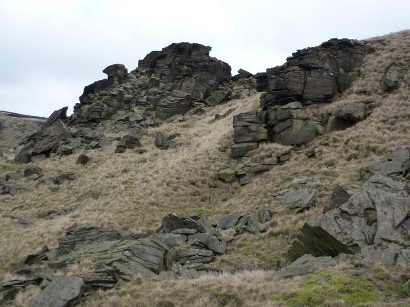
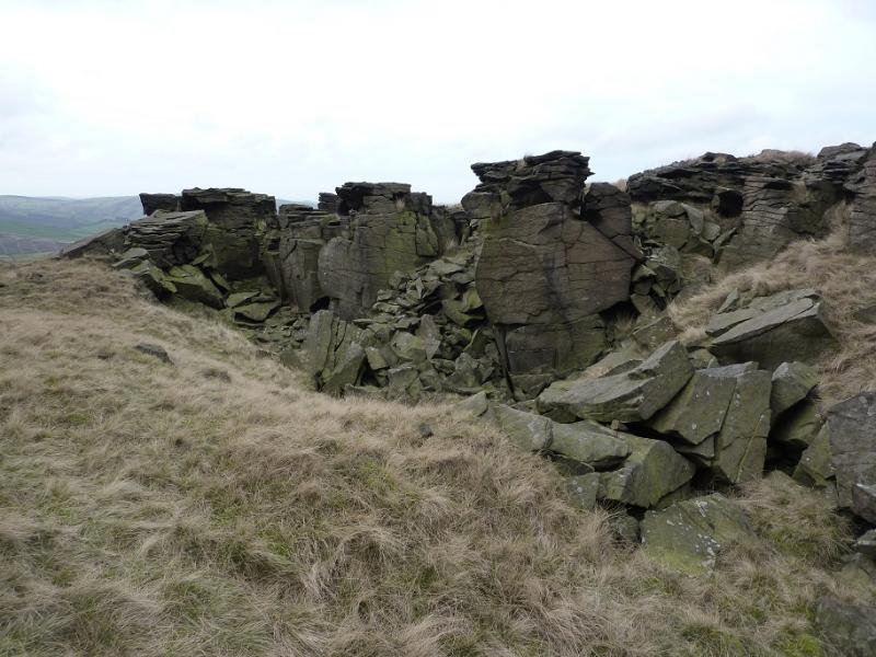
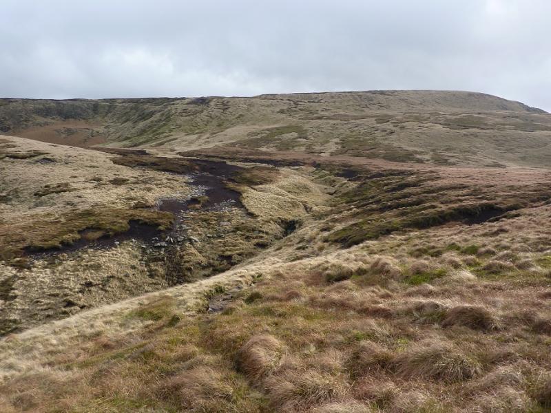
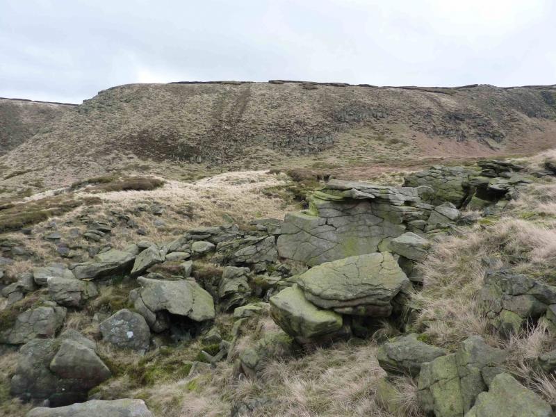
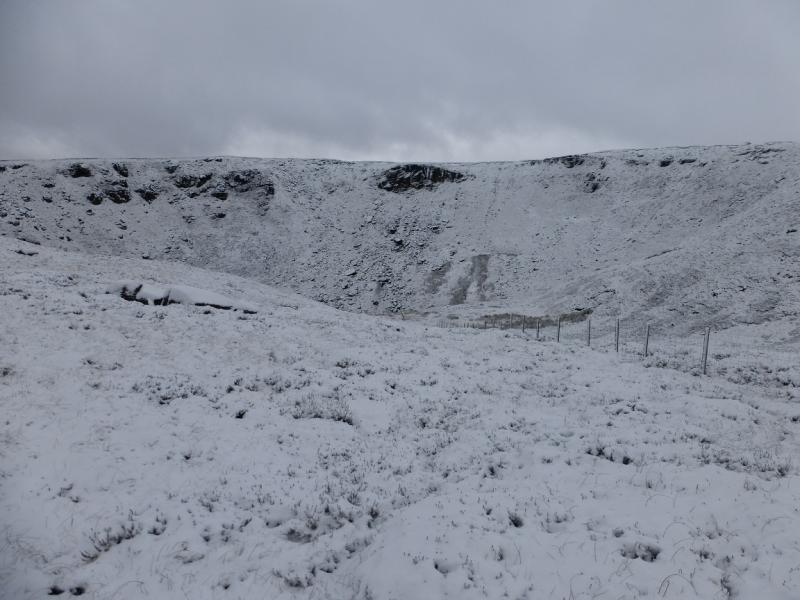
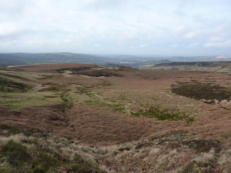
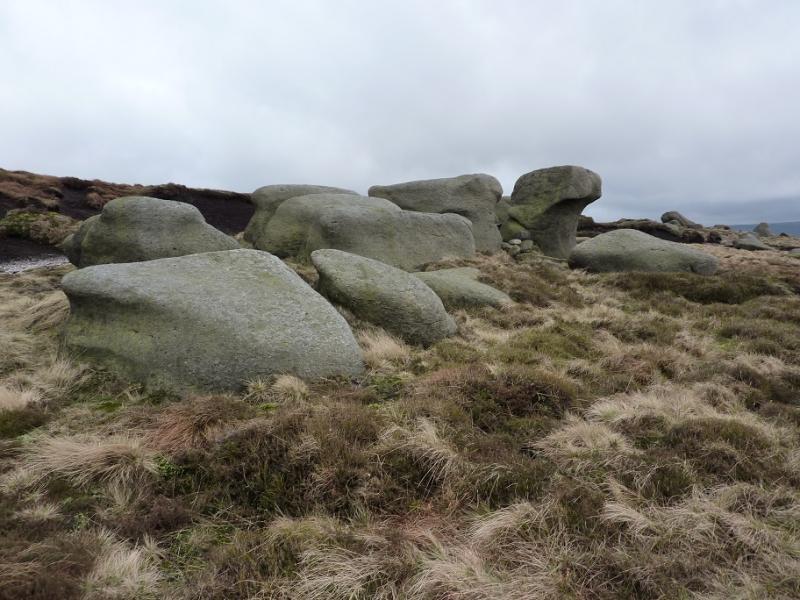
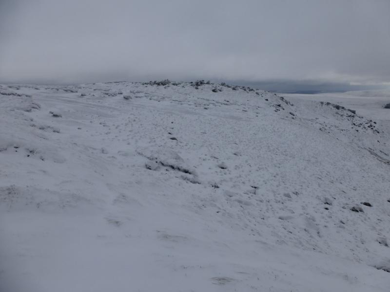
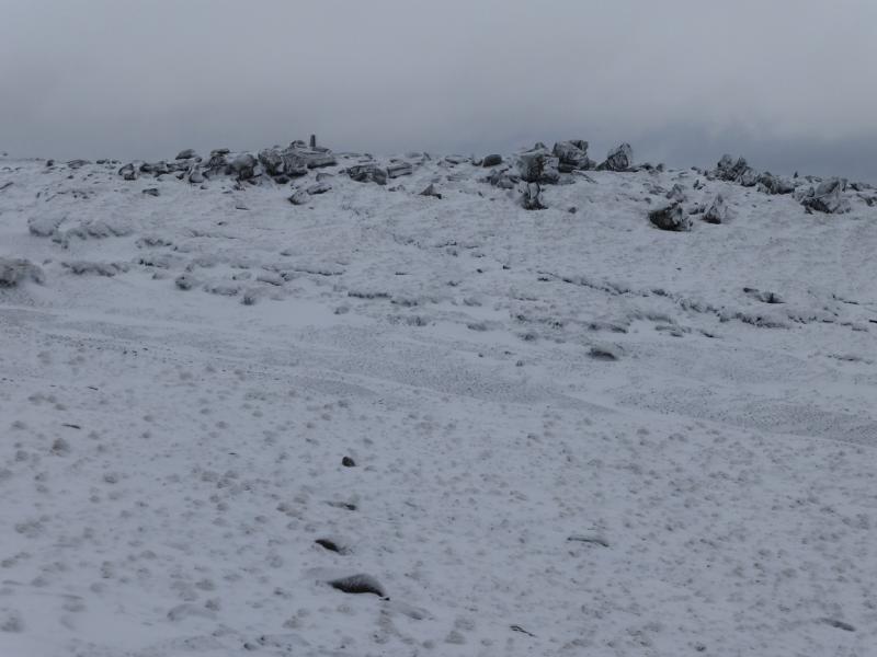
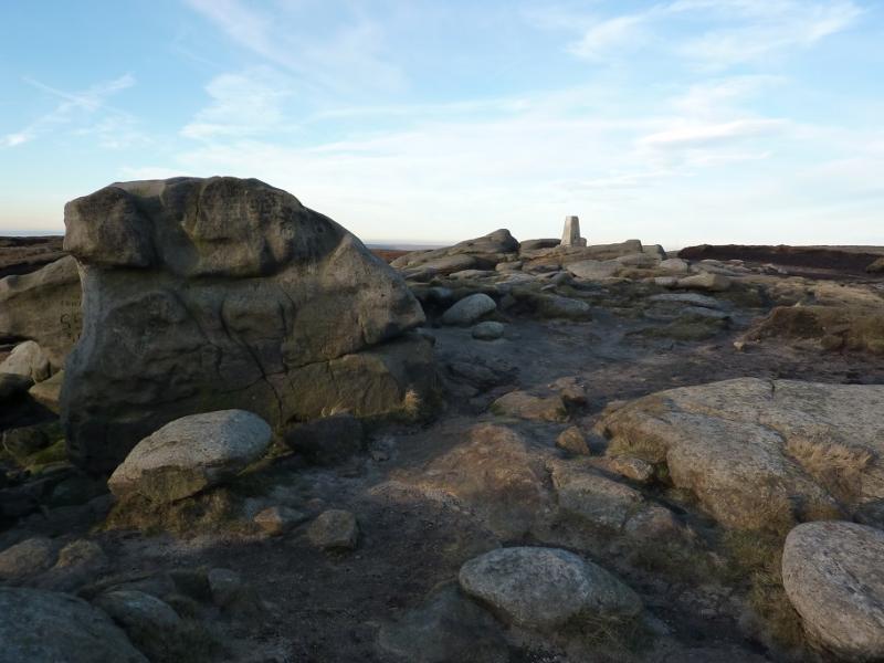
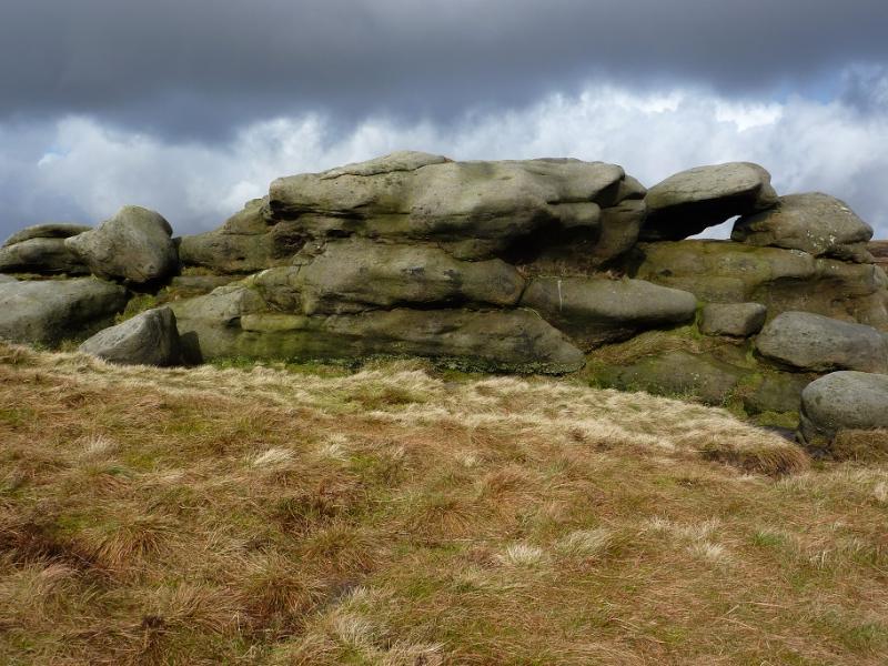
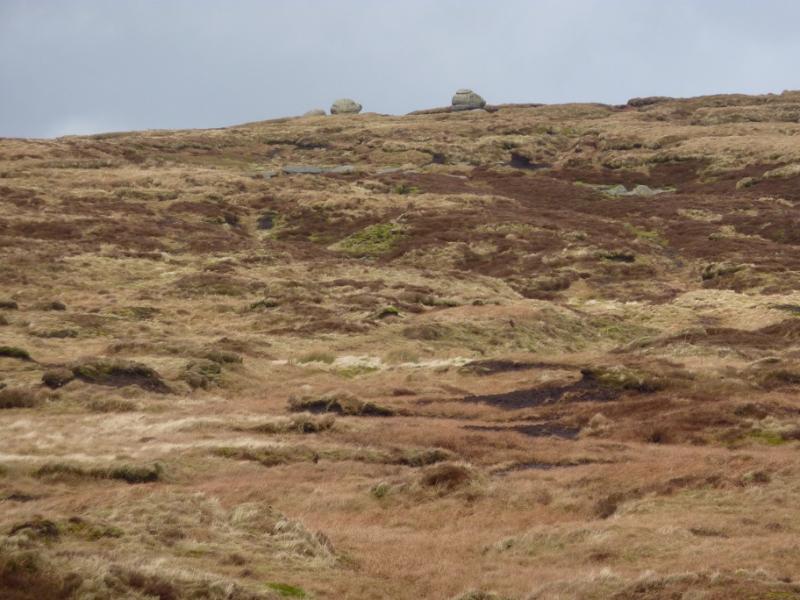
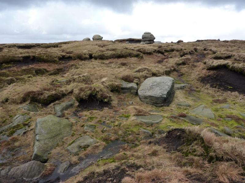
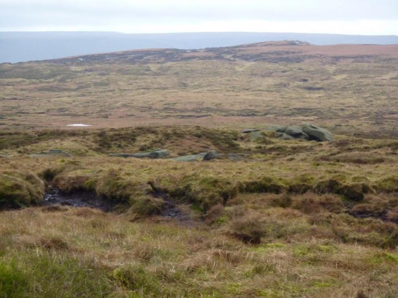
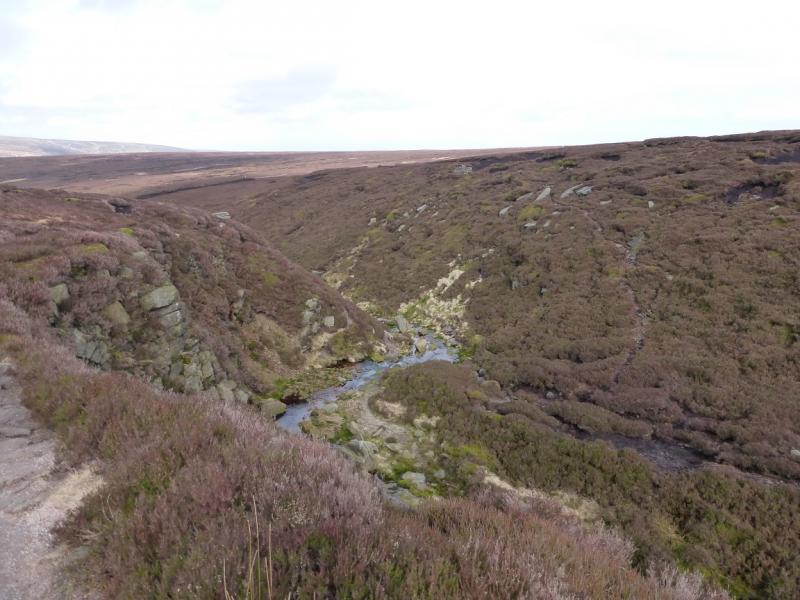
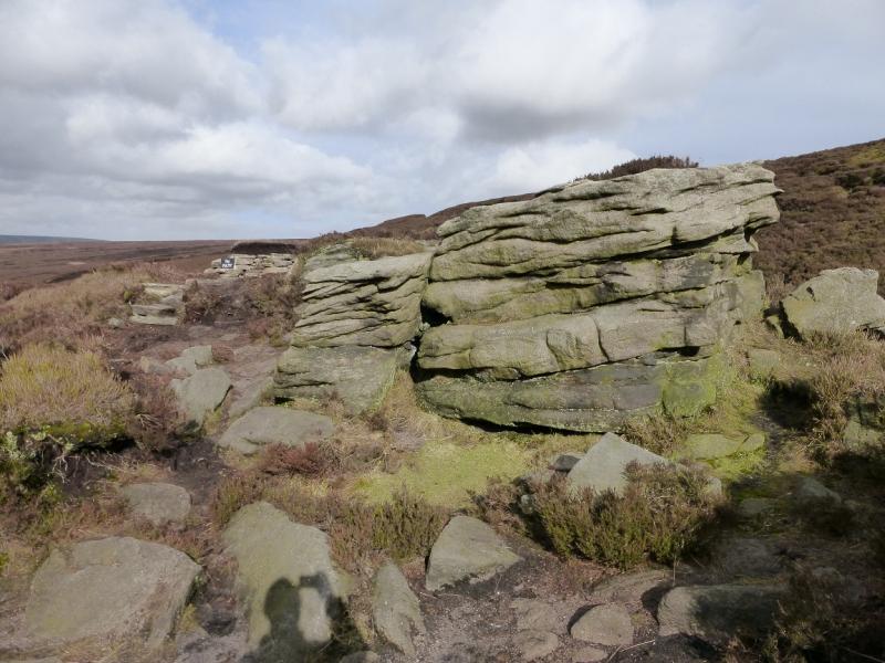
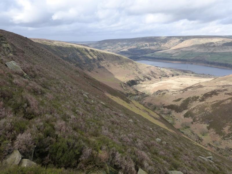
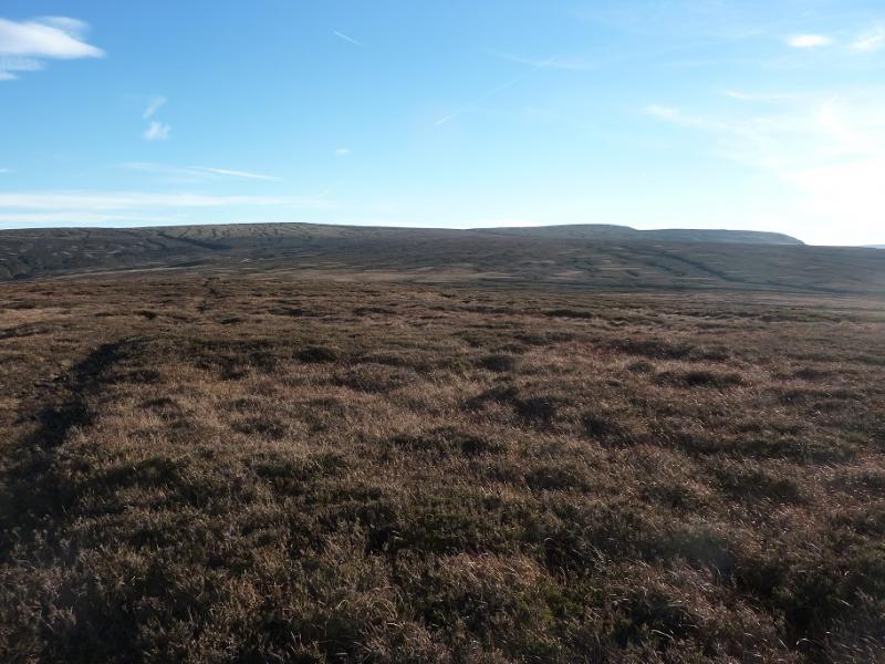
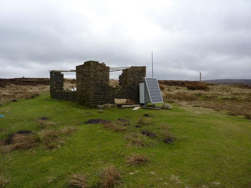
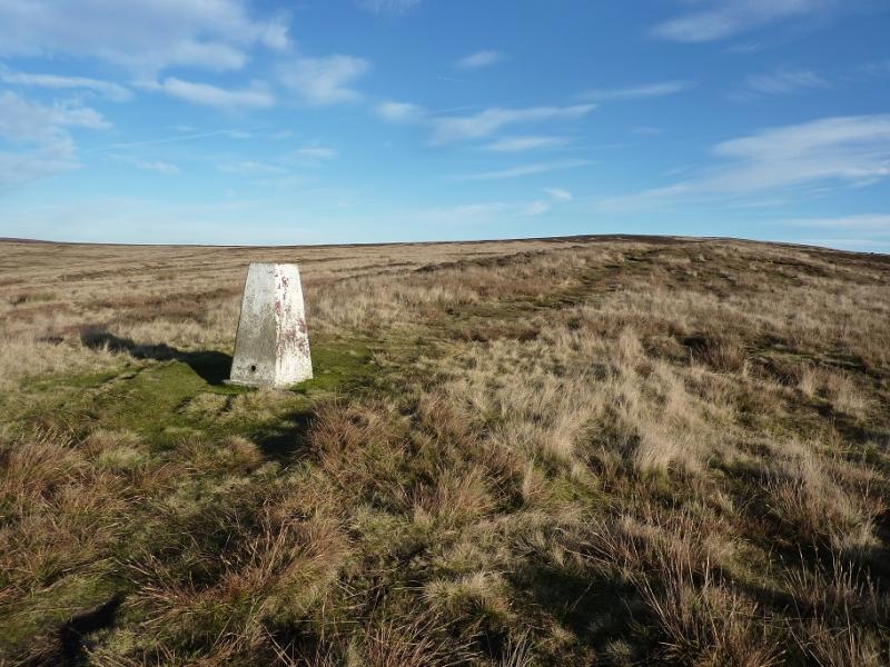
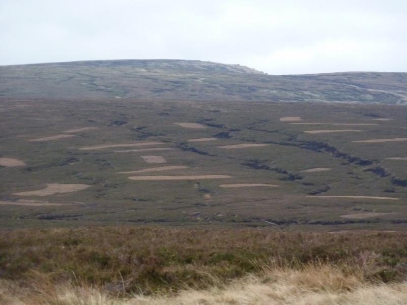
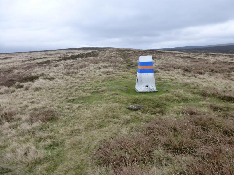
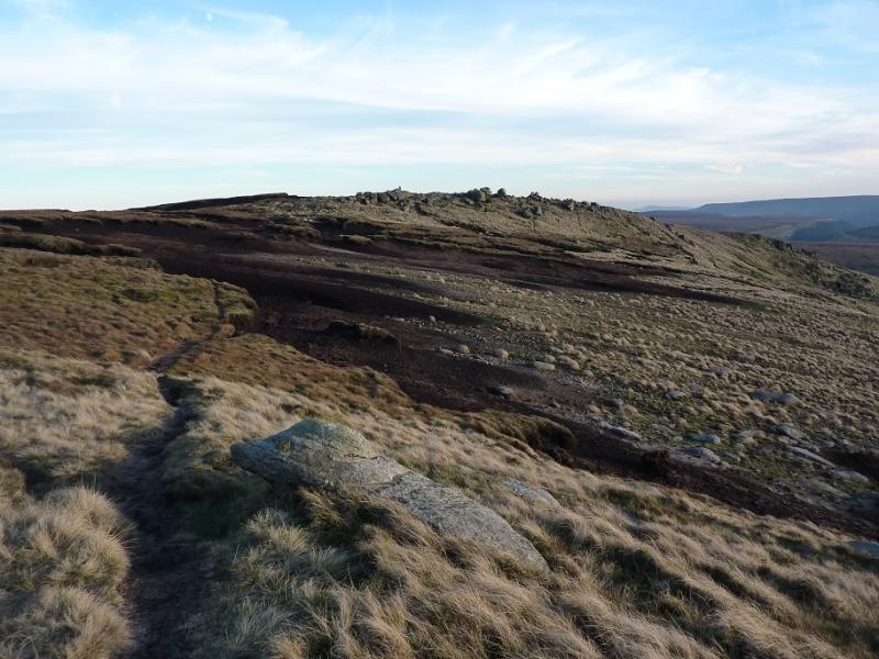
(1) Walk up the track alongside Shelf Brook which is the continuation of Shepley Street beyond the turning circle. After about 800 m and just after crossing the bottom of Small Clough ( the bottom of Small Clough is named as Shittern Clough on 1 : 25 000 maps), there is a gate across the track with a small gate to the left. Do not take the path through the small gate as it leads up the Yellow Slacks ridge (this route is posted separately), instead stay on the main track. Further on, a path goes right for Doctor's Gate but ignore that too and stay on the same track and soon pass a large stone building, in good condition. By now the Shelf Benches ridge should be obvious ahead and to the left. Reach a wall where the path/track goes ahead towards James's Thorn. Leave the track here and follow a faint path near to the wall. This traverses below the crags of the Shelf Benches ridge, soon diverging from the wall. At the end of the crags is a wide rock tower (see photo); the path goes to its right. Behind the tower is a “trough”, ideal if one wishes some shelter from any wild weather. Continue in the same direction, crossing Wigan Clough with a slight detour to the right. Walk to the end of this “terrace” to overlook Yellowslacks brook almost opposite Dog Rock. To the right, the ground rises more steeply. Look for a faint path coming back towards upper Wigan Clough. Climb a little on the path but when another path almost doubles back, take it and ascend some steep, but short lived, ground on to Pike which is almost a plateau. Turn SE and walk up rough, but gently sloping, moorland with very little bog. The best ground is in the shallow meandering grassy grooves. When an obvious outcrop is seen ahead, aim for it as it is in the Lower Shelf Stones area. This will put you on an obvious path along the S edge of the Higher Shelf Stones plateau. Within 500 m, reach the trig point which marks the summit of Higher Shelf Stones, 621 m.
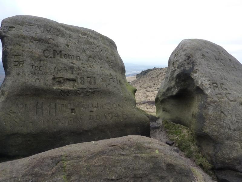
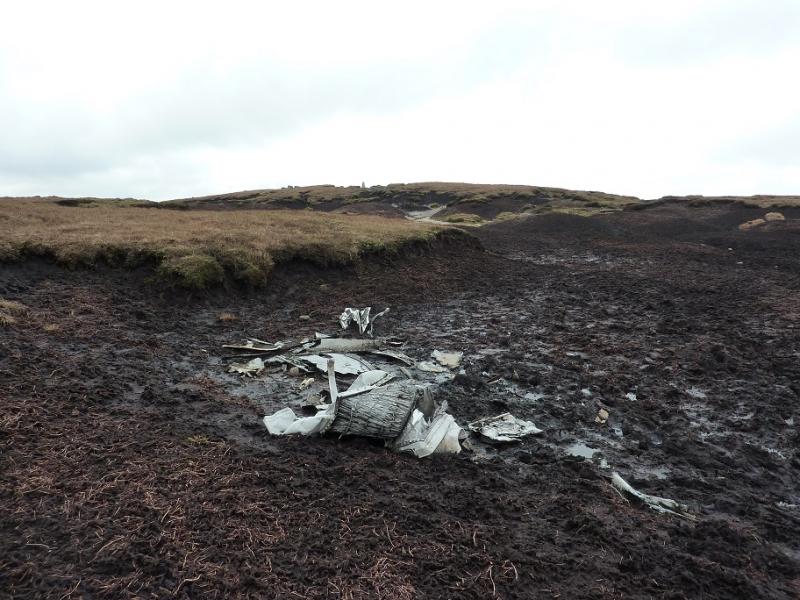
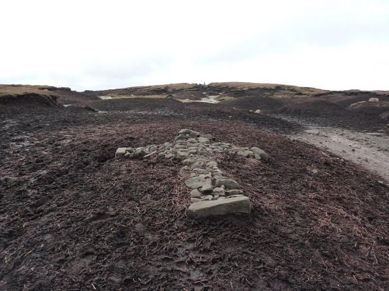
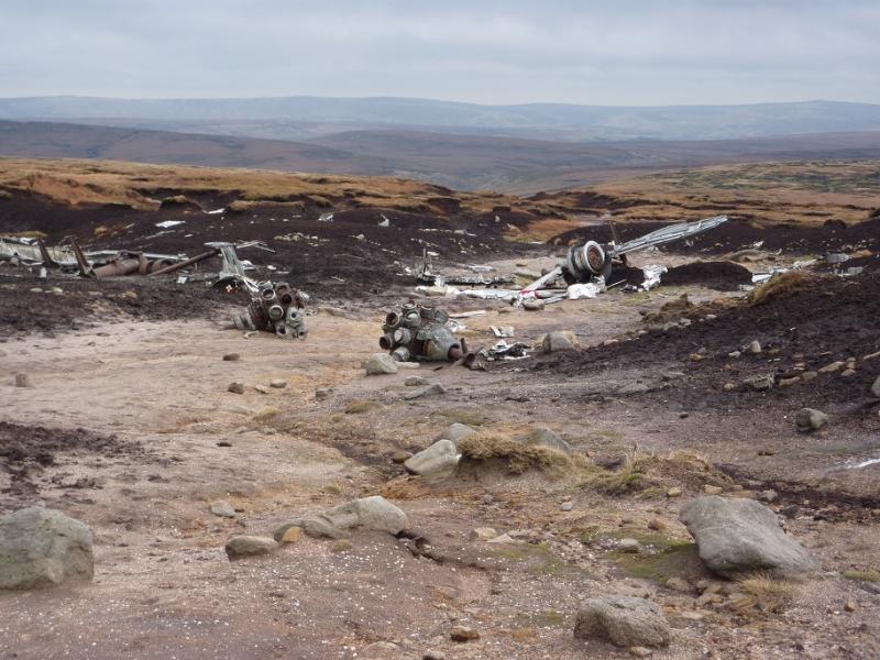
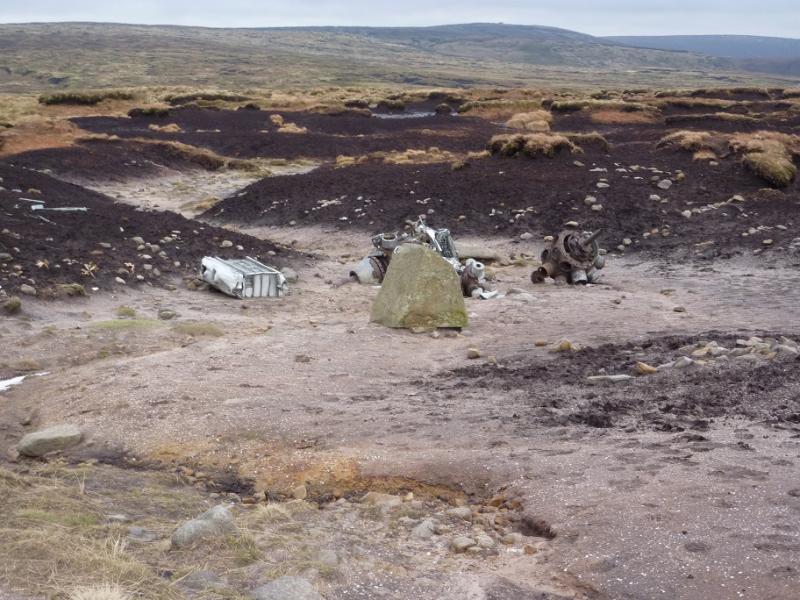
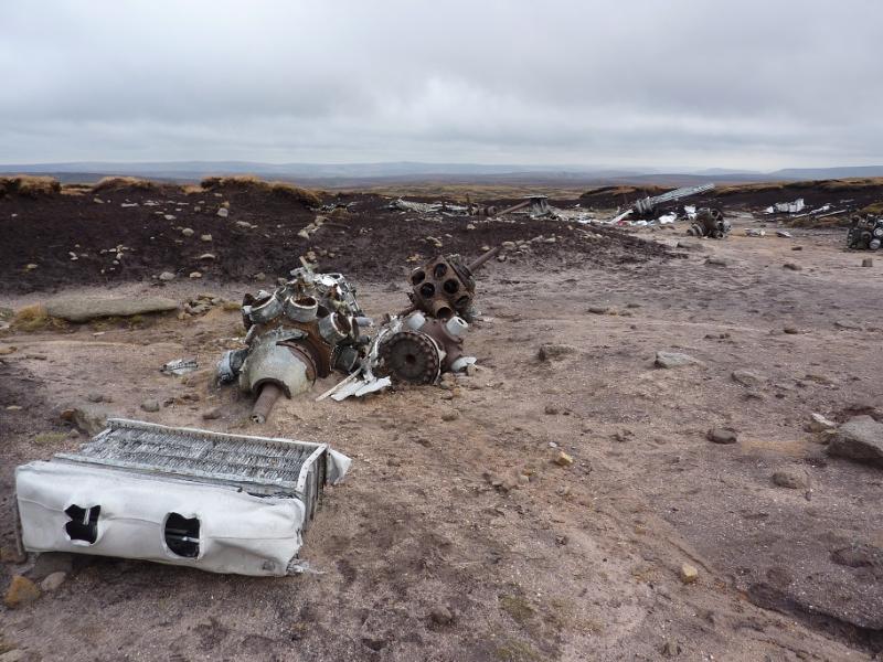
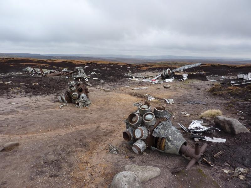
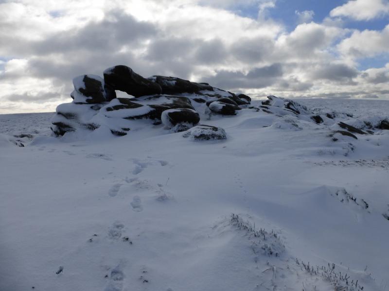
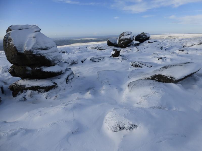
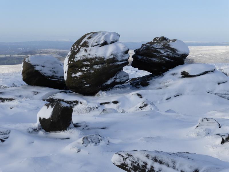
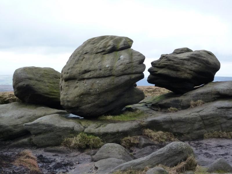
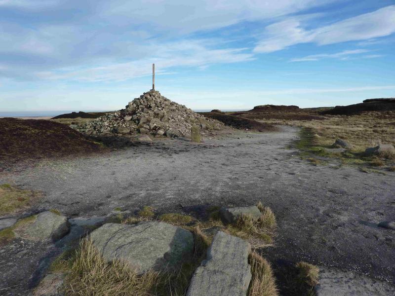
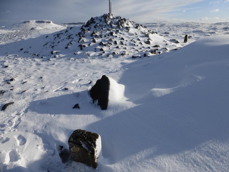
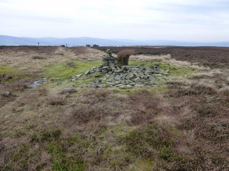
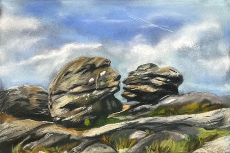
(2) The Hern Stones are the only outcrop between Higher Shelf Stones and Bleaklow Head and lie about 600 m NNE of the trig point. However, it is worth walking a little to the W of this line to look at the well scattered aircraft wreckage. One can then resume walking, on a reasonable, but boggy, path towards the Hern Stones which stand on a small mound. From here, walk almost due N, faint boggy path, to soon reach the Wain Stones, an outcrop with three prominent boulders, two of which are very close. These two are known as “The Kissing Stones”. Close by is a cairn from where a path can be followed to a large cairn, with a stake in it, which marks the summit of Bleaklow Head, 633 m. A stone marker post is at the cairn for those following the Pennine Way down to Torside Clough but that is not part of this route. If thick weather makes the Hern Stones difficult to locate then one can walk due E from where the path fades away which should lead to intersecting with the Pennine Way which can then be followed N to Bleaklow Head.
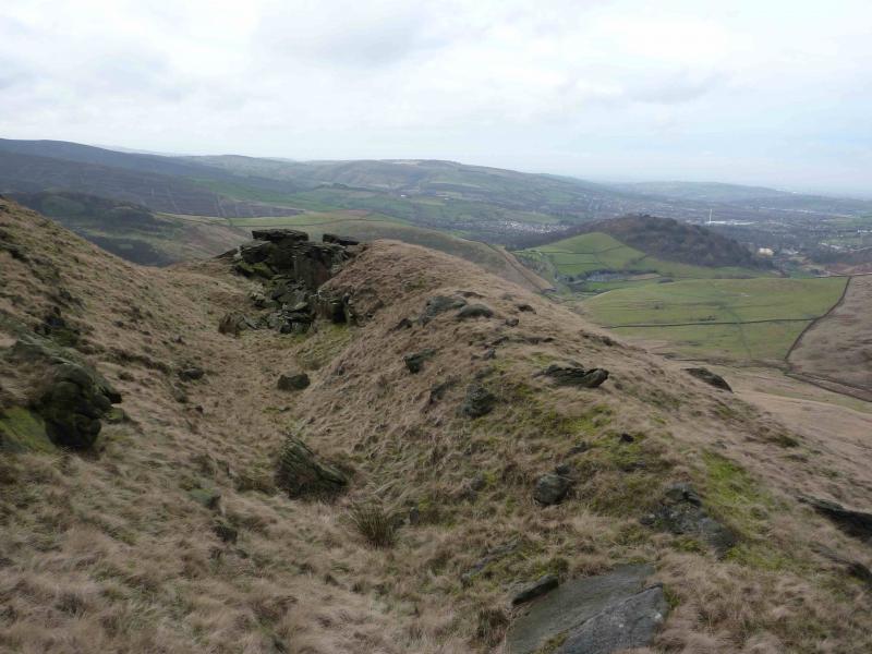
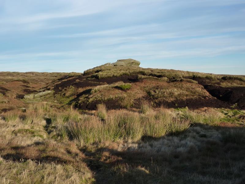
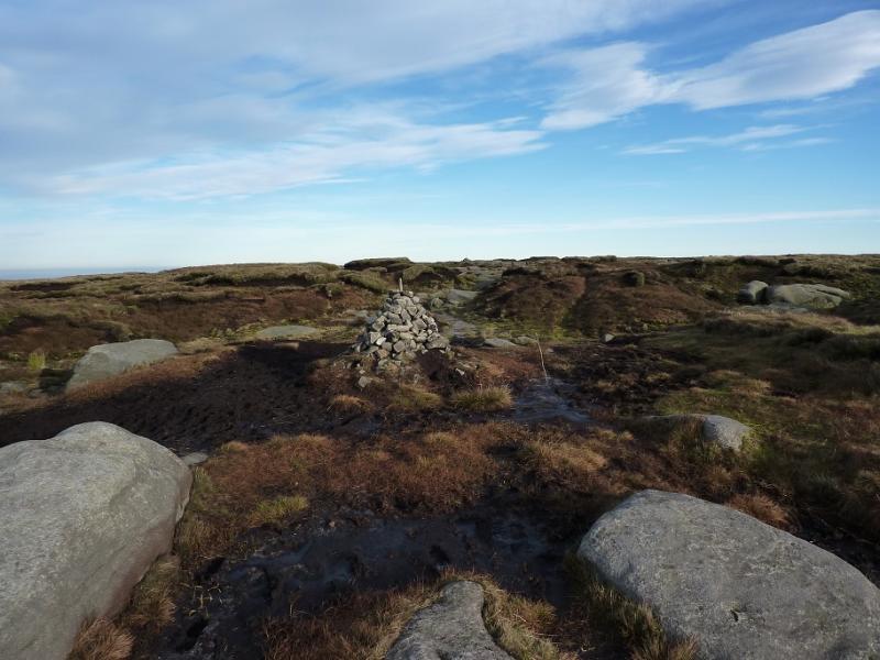
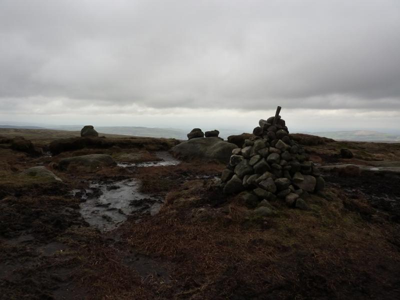
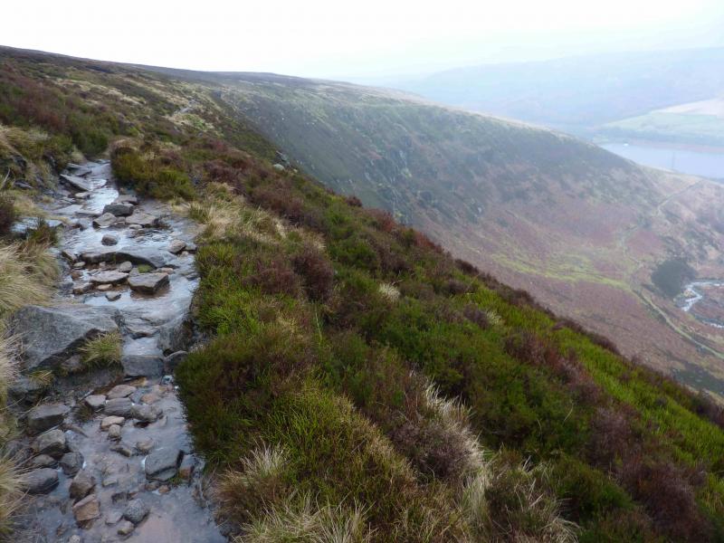
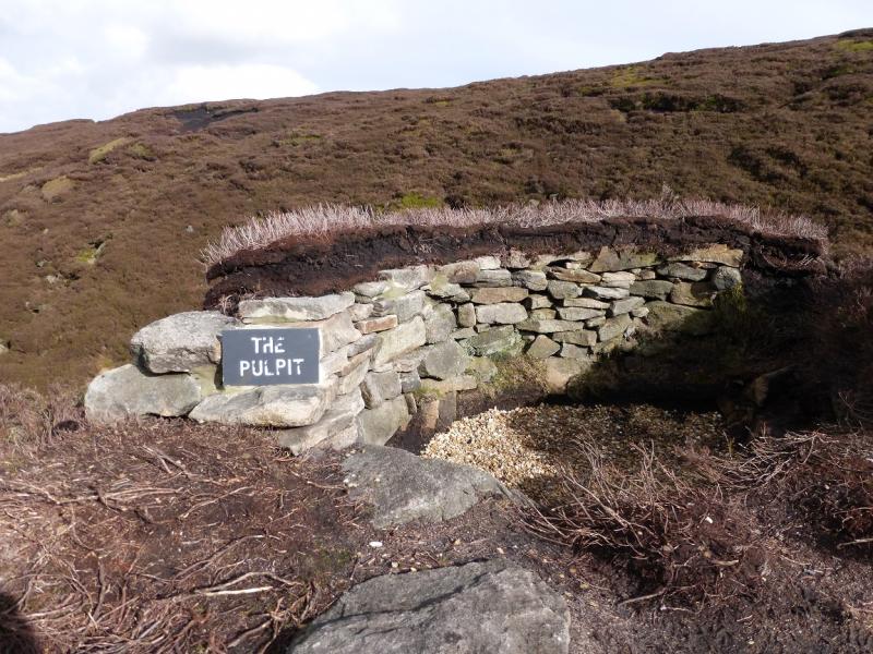
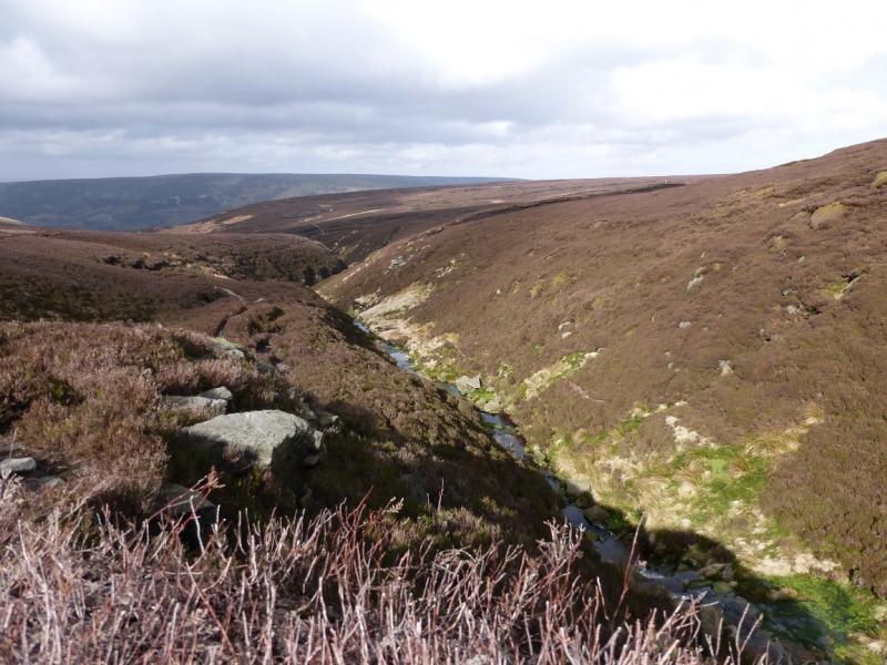
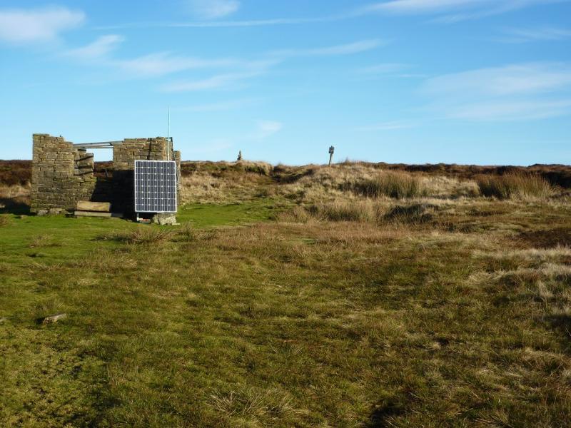
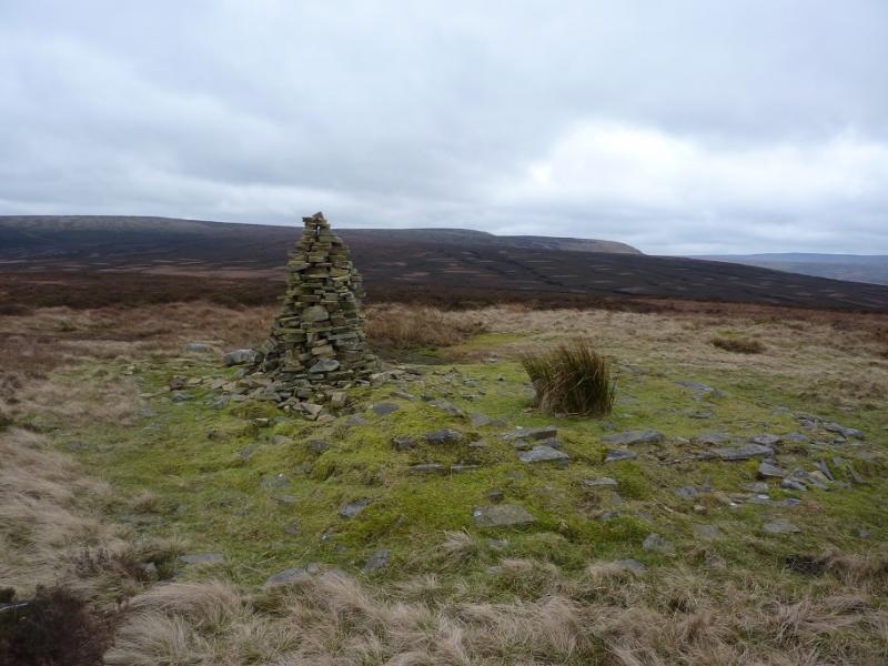
(3) From the summit cairn, head roughly N, on the Pennine Way, as indicated by the short stone sign post by the large cairn. Unless under deep snow, this is a very obvious path. It goes roughly N then curves around to the W. It goes to, but does not cross, a fence which goes W for a short distance before it turns N. Before too long, a stream appears on the left and the path, slabbed in places, leads down to Torside Clough where its two main feeder streams meet. Cross over. After heavy rain, the streams may have to be crossed separately. Follow the path up on to the edge above the W side of Torside Clough. Continue down Torside Clough, past “The Pulpit”, on the Pennine Way path which follows the undulating edge with a steep bank below. Cross a stile then reach a point where the path splits with an arrow indicating that the Pennine Way goes right. Ignore this and go straight on, ascending for a short distance, then follow this upper path, very boggy in places, along the edge. Glossop Low is off to the left but the ground is even worse if one goes left too soon! Continue until a path forks left just before an obvious small outcrop on the edge. Follow this and soon see the grouse boards. Walk through these, roughly SW, and continue up the slope to reach the small plateau where a tall, narrow triangular cairn, with a ruin close by, marks the summit of Glossop Low, 481 m.
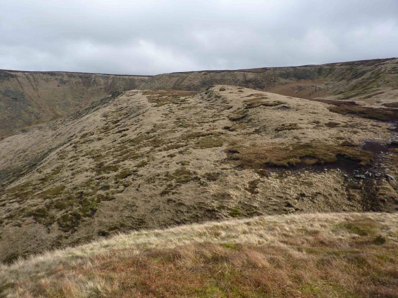
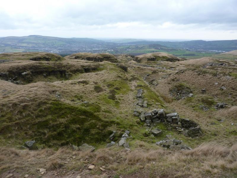
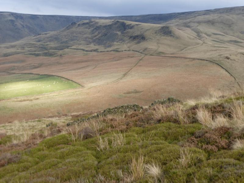
(4) Descend SW from here, down a broad ridge on a path. Do not follow the obvious track which goes down to the reservoirs. Stay on the crest of the SW ridge which leads down to the trig point of Cock Hill, 426 m; it is not a summit. Continue on the path. A little lower, one gets a good view of the old workings in the area and these may be explored, with care, if one wishes; they also offer shelter from the elements. Continue down on the path, going through a small gate not the stile further to the right. This leads down to an old grassy lane between two walls but the going is easier just inside the field on the right. Pass two woods then continue down passing a small quarry on the left before reaching the road. Walk down this to the junction, turn left and follow the road, over a slight rise, back to the turning circle.
Notes
(a) This walk took place on 14th January, 2016.
(b) It is possible to also include Bleaklow Stones but will add about 5 km of walking and about 90 minutes. The route has to be retraced back to Bleaklow Head but Bleaklow Stones is a far more interesting area than Bleaklow Head. Details of this detour are:
The continuation to Bleaklow Stones is not obvious even in clear weather. Walk roughly E. There is a path but it is not very obvious. Later on some very widely spaced posts appear and these are a good guide as a good path is close to them. If you are off path then expect a lot of boggy up and down. After about 2 km, a mound should be visible ahead. As you get closer, it will look to have some outcrops. Once reached, there is very distinctive rock which resembles an anvil. This area is Bleaklow Stones, c620 m. There is no summit cairn but plenty of rocks with interesting shapes.
(c) The painting at the end of the photos is of the Kissing (Wain) Stones, by Katina Johnson, a very talented artist from Lincolnshire. It is well worth looking at her website which is https://katinajohnsonart.com/
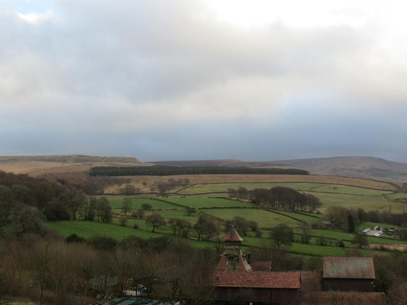
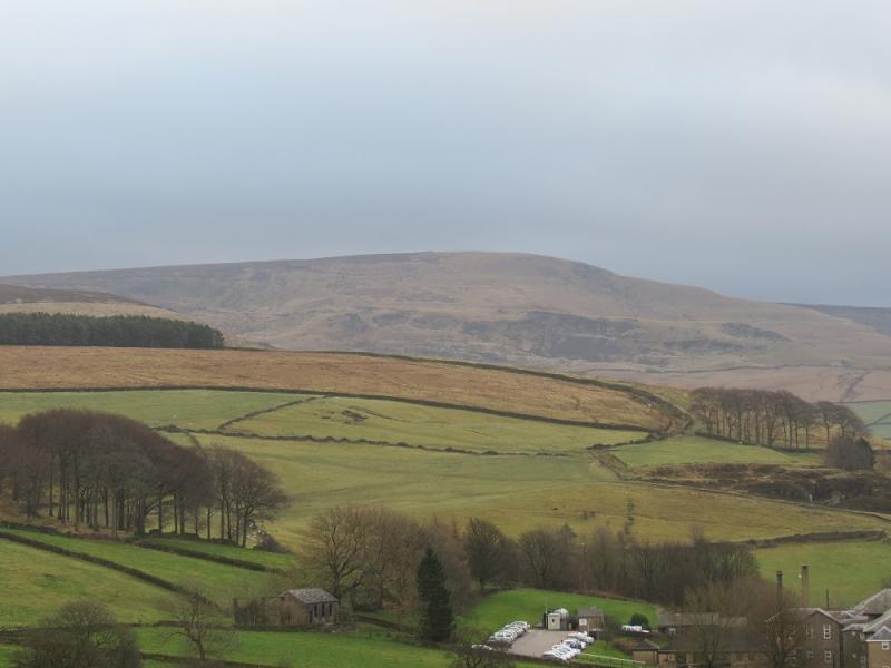
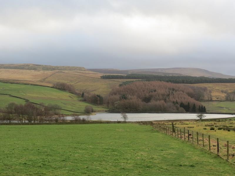
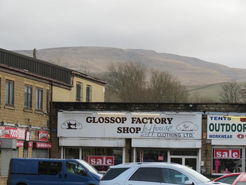
Photos - Hover over photo for caption. Click on to enlarge. Click on again to reduce.